Elevation of 34 Evergreen Ln, Bastian, VA, USA
Location: United States > Virginia > Bland County > > Rocky Gap >
Longitude: -81.124720
Latitude: 37.2565403
Elevation: 642m / 2106feet
Barometric Pressure: 94KPa
Elevation Map:
Satellite Map:
Related Photos:

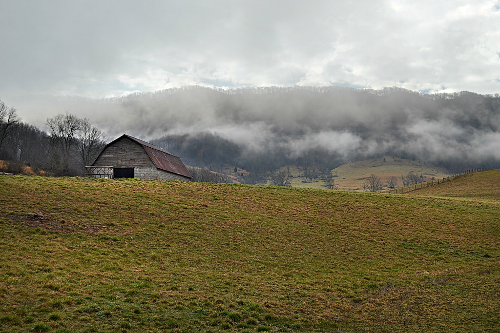
Valley Fog
A Lot

View from the roof of Food City - Bluefield VA
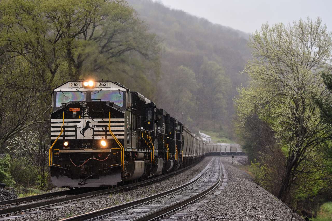
NS @ Ada, WV.
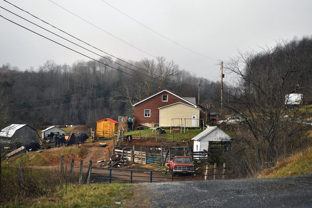
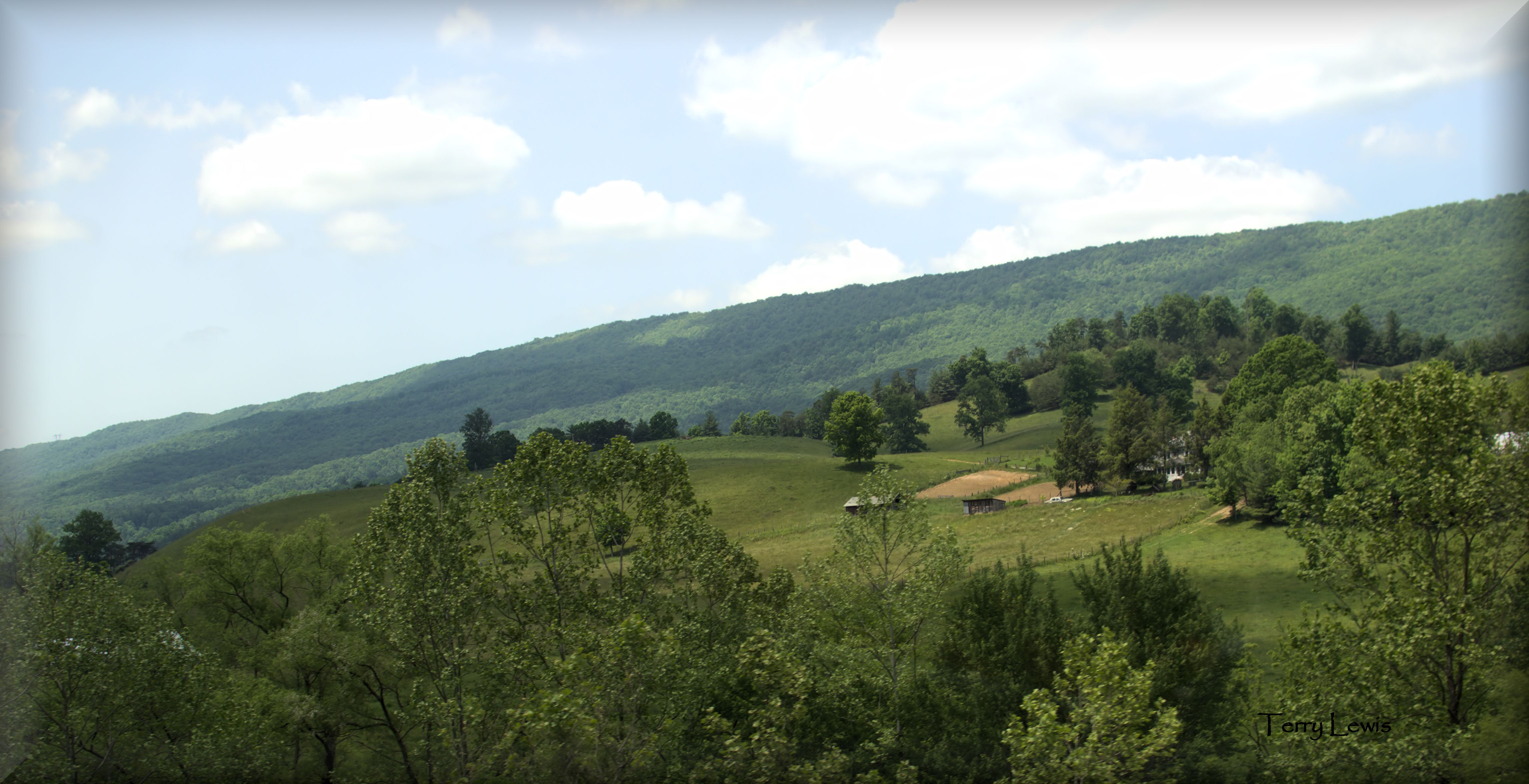
Virginia Farm

Dinner view last night. #eyecandy

FrostyMorning 1

FrostyMorning 5
NS @ Ada, WV.

FrostyMorning 4

Fog on East River Mountain near Bluefield, WV
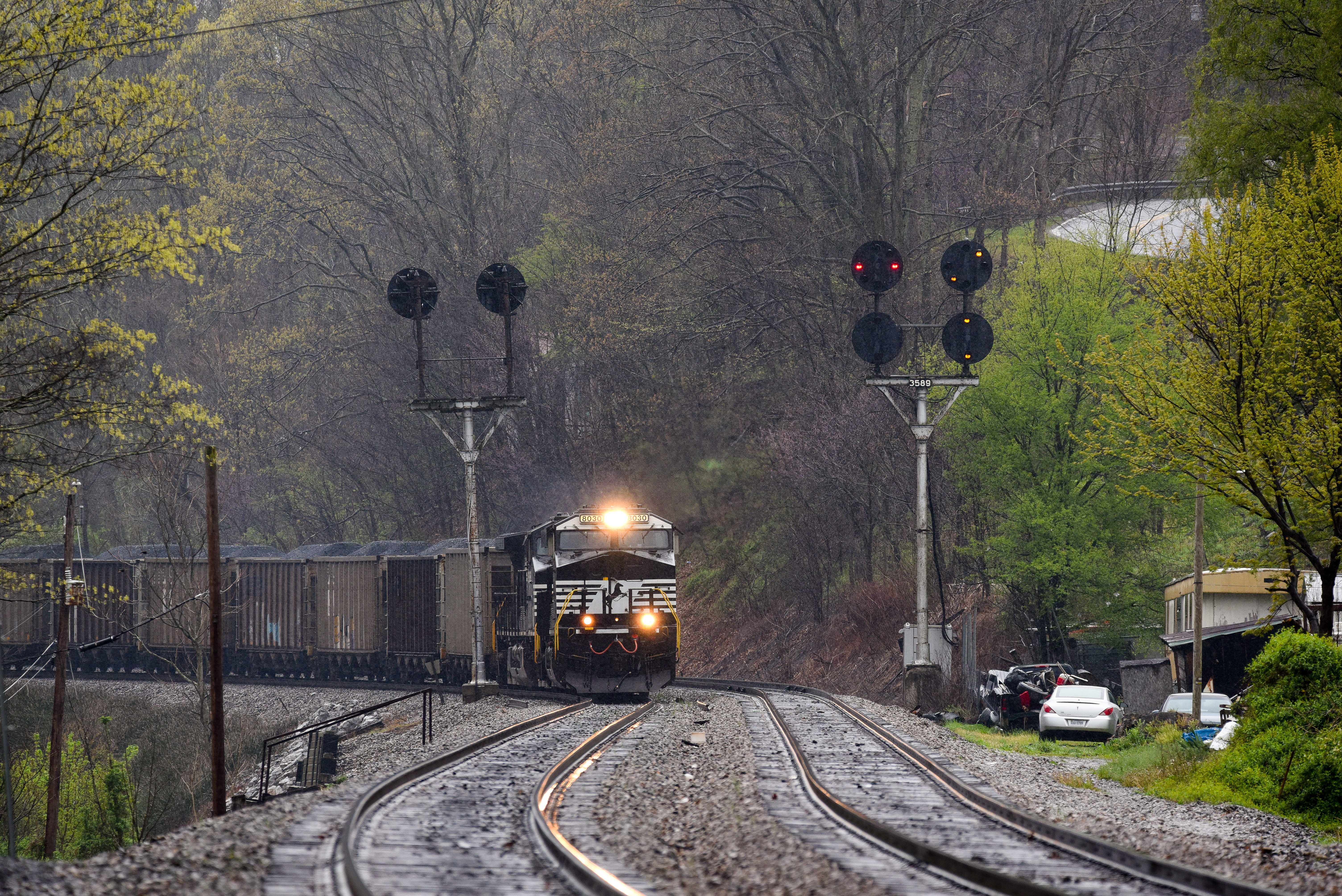
NS @ Ada, WV.
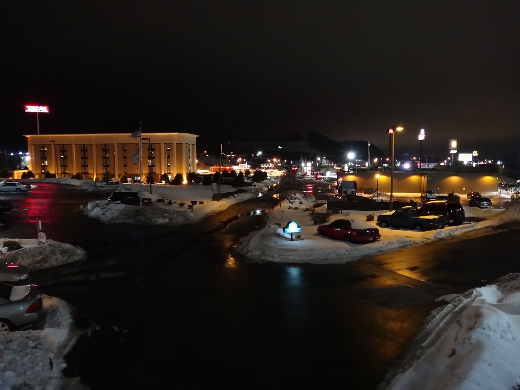
Night view from Days Inn Princeton

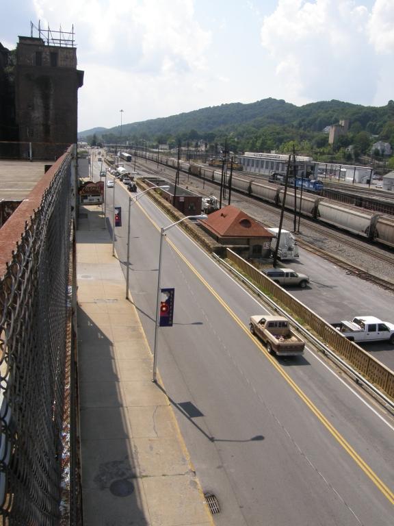
Over the I-77/U.S. 460 interchange, Princeton WV, 2000

FrostyMorning 3
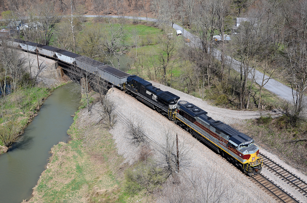
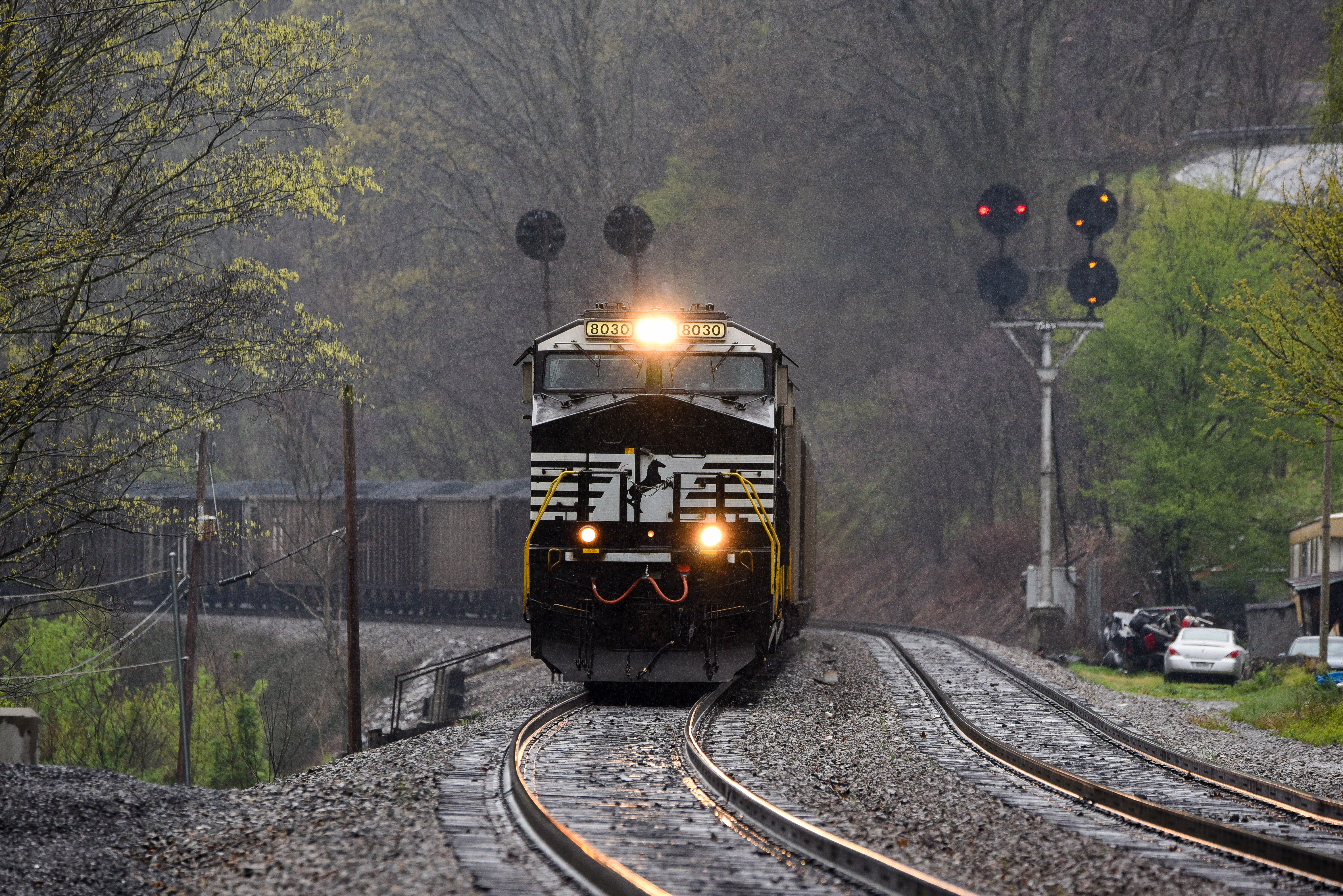
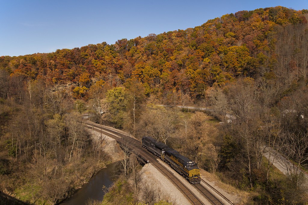
DLW SD70ACe-1074, NS C40-9-8795 E/B at Hales Bottom, VA

_MG_1584 8x10 COLOR CUTOUT
~Matz 018

View from mountain in Princeton WV
Tazewell Proposed Wind Turbines
Tank in Princeton, WV, 2000
JFRM-2017-05-7741-Pano.jpg
JFRM-2017-05-7734-Pano.jpg
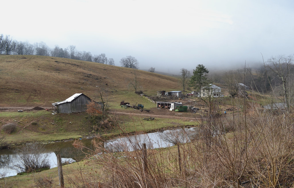
A Farm
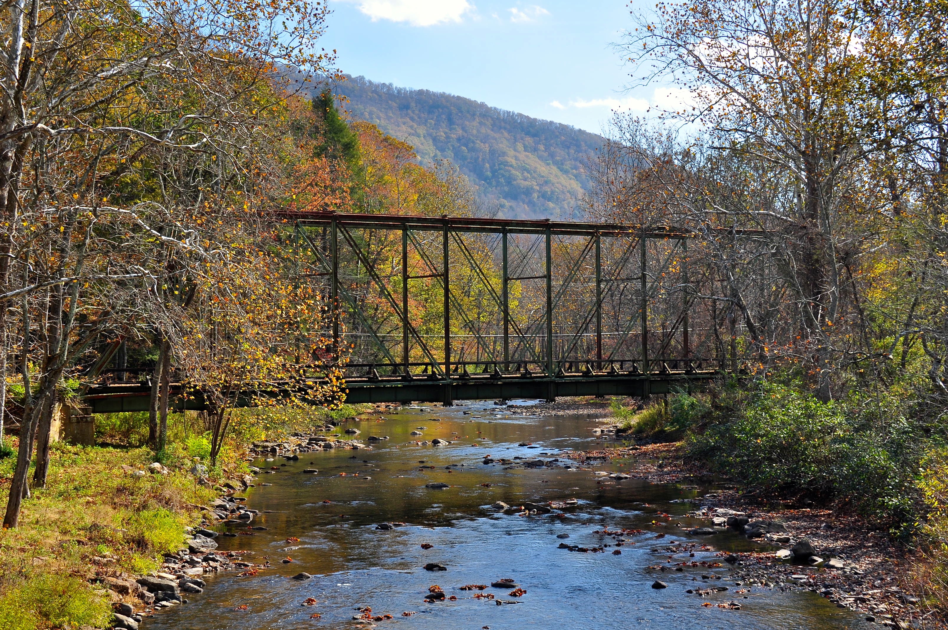
Wolf Creek Bridge

LK_20141006_0061_HDR-sm

Oh, the surprises...

_MG_0012 BRIGHT LITE, BRIGHT LITE!
On a long #roadtrip passing through PA, WV
Day 107: Bluefield, it's hard to believe that in two weeks my college career will be half way over!
The NKP in Fall Colors
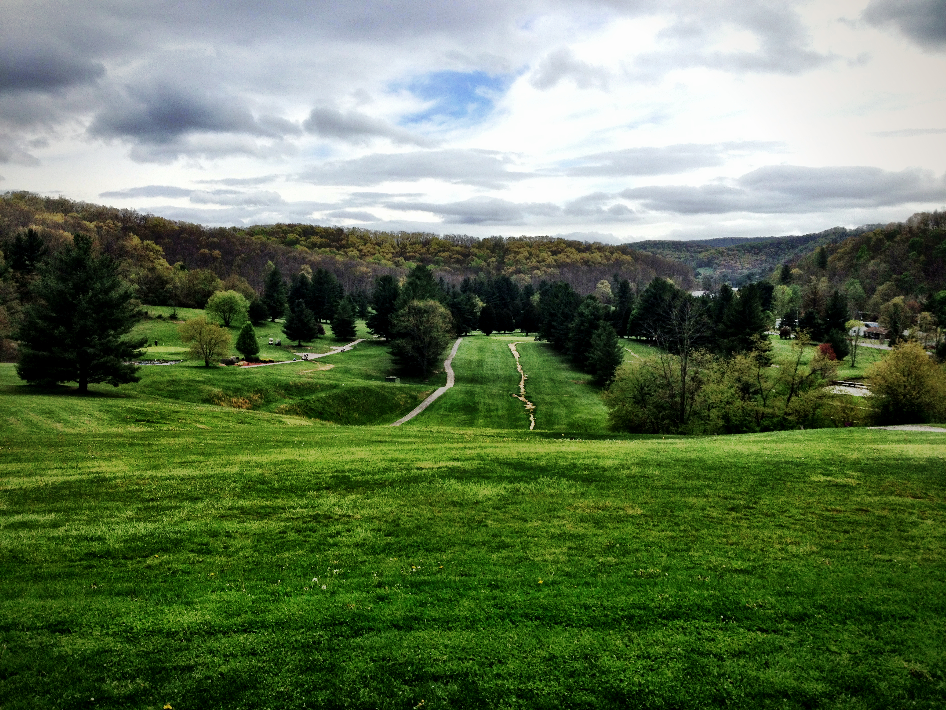
Day 122: A little Thursday morning golf after the end of our exams! And 2013 is already a third over!
Trip Photo
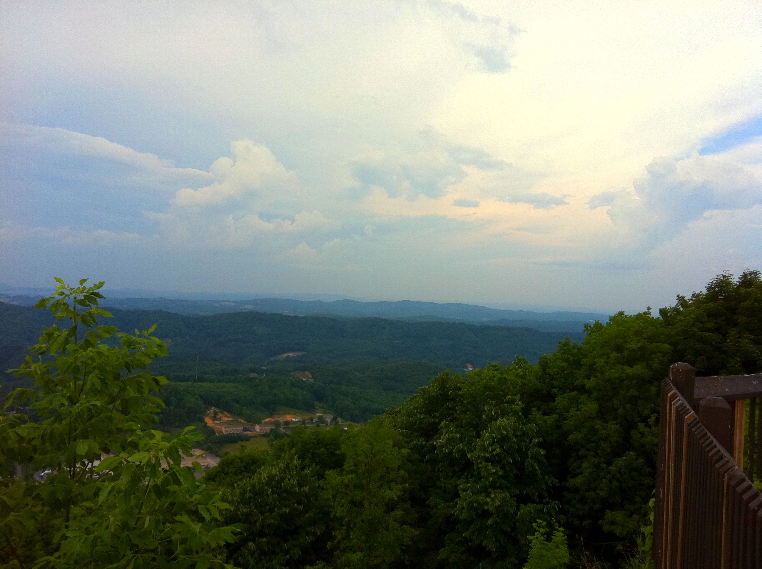
East River Mountian Overlook
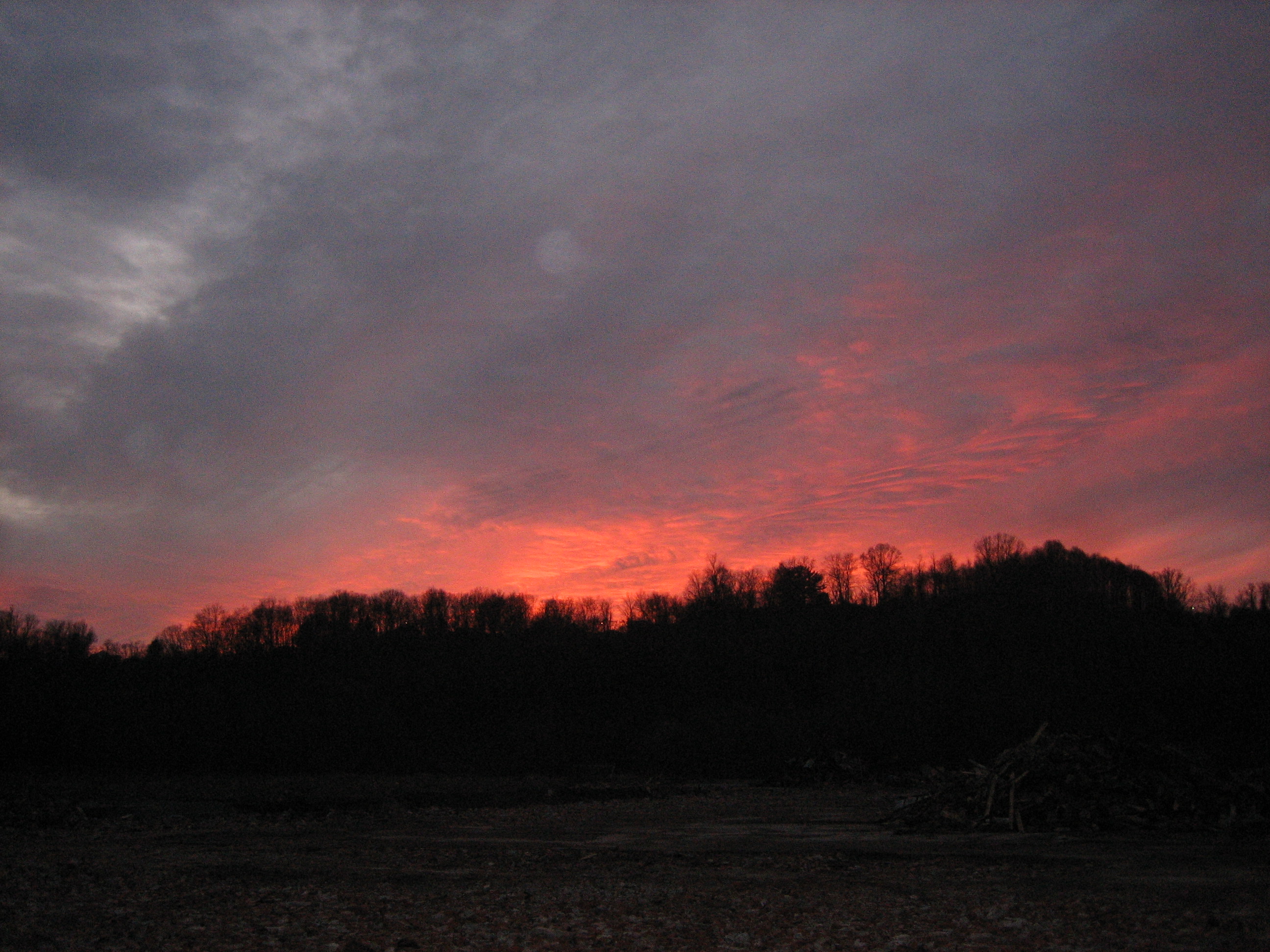
Sunset behind mountain
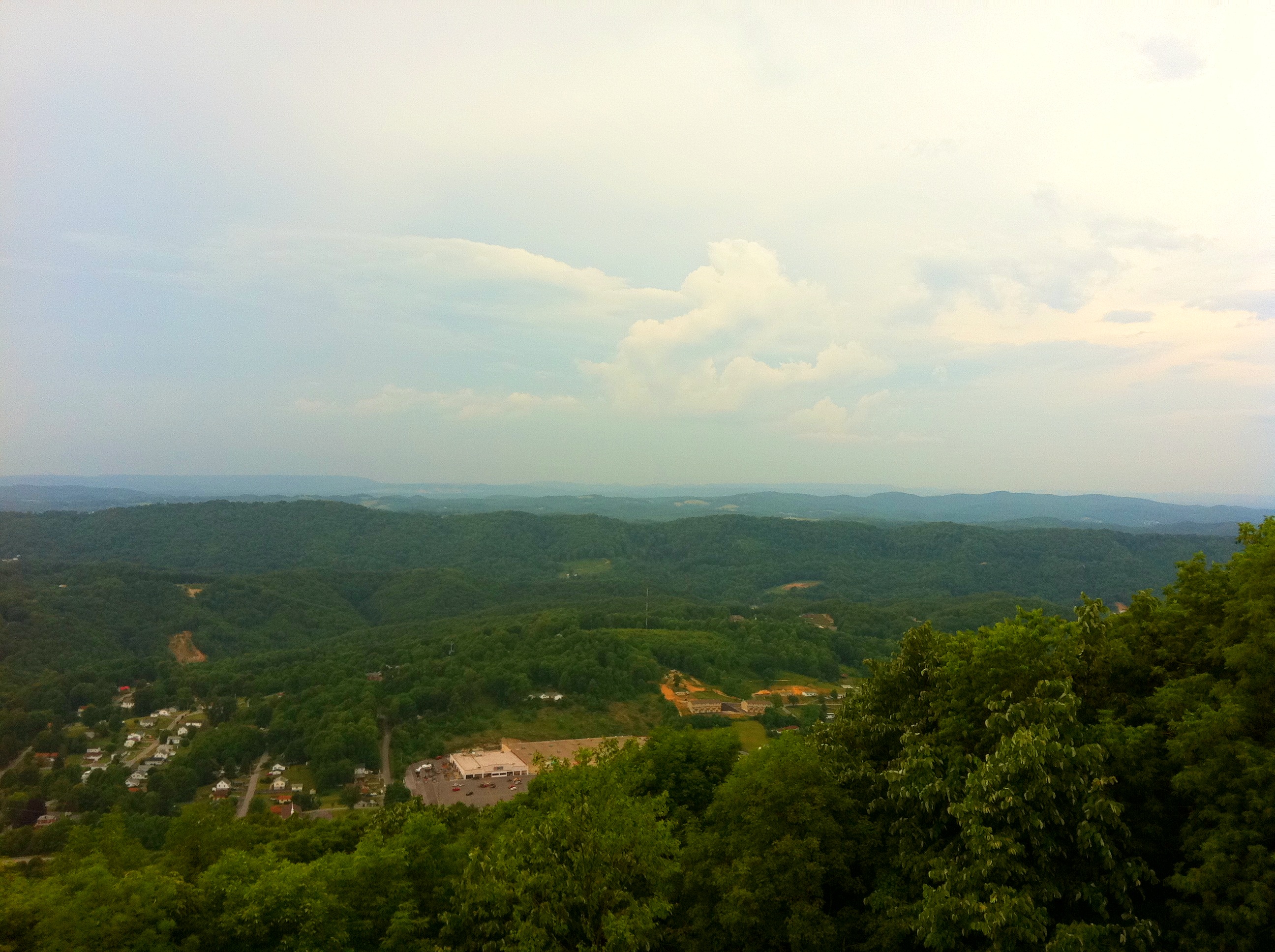
East River Mountian Overlook
Appalachian Marathon Series - Virginia

Country Road
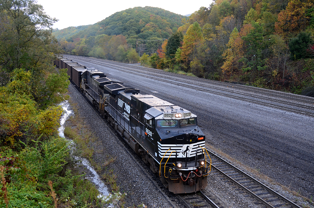
NS C40-9W-9828, C40-9-8771 W/B 839 at East Bluefield, WV
Rural Virginia

Mercer Mall
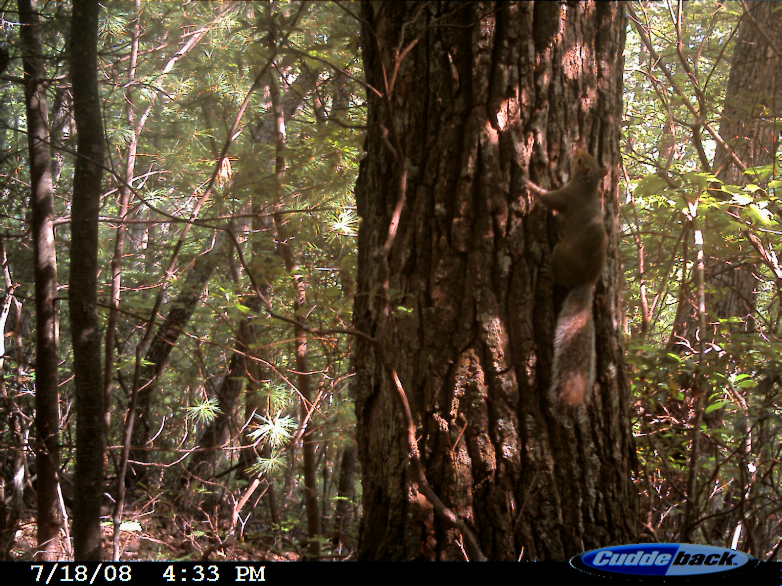
Eastern Fox Squirrel
Topographic Map of 34 Evergreen Ln, Bastian, VA, USA
Find elevation by address:

Places near 34 Evergreen Ln, Bastian, VA, USA:
34 Evergreen Ln
7796 Laurel Fork Rd
Rocky Gap
4, VA, USA
7753 Clear Fork Creek Rd
1926 E River Mountain Rd
Virginia 61
Virginia 61
Virginia 61
8955 N Scenic Hwy
2764 Shady Branch Cir
Hicksville
E Cumberland Rd, Bluefield, WV, USA
1200 Castlewood Ln
Arrowhead Drive
5873 N Scenic Hwy
10952 Grapefield Rd
Bastian
Hogback Ridge Road
6903 Wolf Creek Hwy
Recent Searches:
- Elevation of Corso Fratelli Cairoli, 35, Macerata MC, Italy
- Elevation of Tallevast Rd, Sarasota, FL, USA
- Elevation of 4th St E, Sonoma, CA, USA
- Elevation of Black Hollow Rd, Pennsdale, PA, USA
- Elevation of Oakland Ave, Williamsport, PA, USA
- Elevation of Pedrógão Grande, Portugal
- Elevation of Klee Dr, Martinsburg, WV, USA
- Elevation of Via Roma, Pieranica CR, Italy
- Elevation of Tavkvetili Mountain, Georgia
- Elevation of Hartfords Bluff Cir, Mt Pleasant, SC, USA