Elevation of 33 Windgate Cir, Fishersville, VA, USA

Location: United States > Virginia > Augusta County > Wayne > Fishersville >

Longitude: -78.979296

Latitude: 38.107721

Elevation: 433m / 1421feet

Barometric Pressure: 96KPa

Elevation Map:

elevation map of 33 Windgate Cir, Fishersville, VA, USA

Satellite Map:

Satellite map of 33 Windgate Cir, Fishersville, VA, USA

Related Photos:

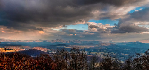
sunset panorama mountain clouds virginia nikon view cloudy d300 rockfishvalley nikkor35mmf18g bobmical
Rockfish Valley
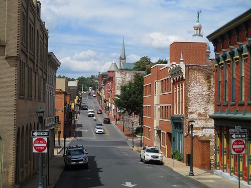
augustastreet downtown staunton virginia
Augusta Street, Staunton
virginia downtown view staunton wilsonpark searshill
Downtown Staunton from Sears Hill
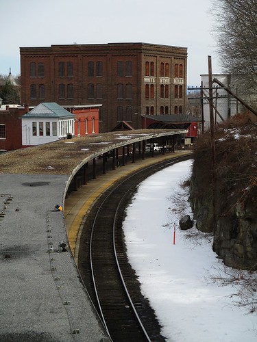
railroad virginia tracks trainstation staunton whitestarmills
Late Winter Platform View
winter snow reflection abandoned broken window rural virginia market stuartsdraft
today is a winding road
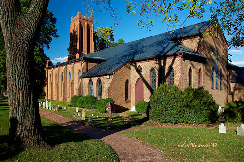
virginia staunton shenandoahvalley churches episcopalchurches trinityepiscopalchurch nrhp stainedglasswindows cemeteries latelight blueskies october2012 october 2012 canon24105l
Trinity Episcopal Church 2
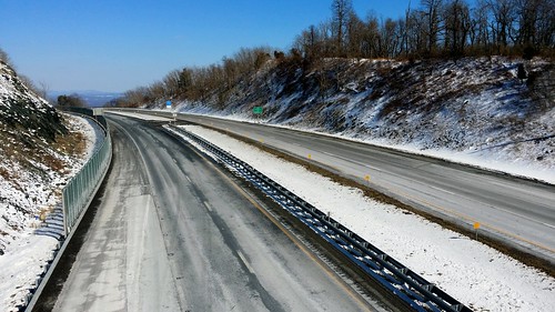
road county mountain snow fall virginia march highway ben web gap nelson falls 64 va highways augusta interstate roads snowfall afton i64 interstates rockfish snowfalls 2014 aftonmountain rockfishgap nelsoncounty augustacounty schumin schuminweb
Interstate 64 at Rockfish Gap
virginia march clocktower staunton 2011 masonicbuilding nrhp canon24105l march2011 beverleyhistoricdistrict
Beverley Historic District - Staunton
clouds interstate aftonmountain scenicview rockfishgap
Afton Mountain in Winter 28
trainstation tracks searshill bridge staunton virginia
Station Platform and Bridge
clouds virginia blueridgeparkway rockfishgap
Clouds over the Blue Ridge
park usa mountains fog outdoors virginia day blueridgemountains shenandoahnationalpark augustacounty mccormickgapoverlook
Foggy View From McCormick Gap Overlook
contrails heavens landscape sky silhouette night moon trees tree star stars luna spica saturn planet planets
Moon-lit Oak II Spica & Saturn 2011
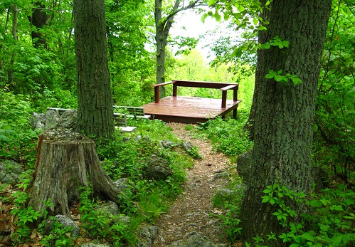
park green nature observation point virginia scenery view bell hill may deck va valley betsy creeper overlook 2008 staunton 08 shenendoah parthenocissus quinquefolia
View from atop Betsy Bell Hill
road county mountain snow fall virginia march highway ben web gap nelson falls 64 va highways augusta interstate roads snowfall afton i64 interstates rockfish snowfalls 2014 aftonmountain rockfishgap nelsoncounty augustacounty schumin schuminweb
Interstate 64 at Rockfish Gap
mountain clouds virginia va 365 2013 072313 aftonmountainva
Day 204 -- View From Afton Mountain
park trees mountain nature rain weather fog spring day view hiking hill hike trail rainy va april 29 2009 staunton stauntonvirginia augustacounty mywinners betsybell regionwide
Betsy Bell Hill
light sky storm rain weather clouds grey virginia skies view baseball gray july va valley 17 shenandoah shenandoahvalley 2009 thunder league staunton bigskyapartments stauntonbraves
Rained Out
appalachian appalachiantrail appalachianmountains appalachianmtns hike hiking va virginia rockfishvalleyoverlook rockfishvalley overlook view scenerey mountin mountains valley paint painters painting blueridge blueridgemountains blueridgepkwy blueridgeparkway wine vineyard winevinyard elichristman elijahchristman ejc elijahjameschristman elichristmanrva elijameschristman elijahchristmanrva elichristmanrichmondva elichristmanrichmondvirginia elijahchristmanrichmondva elijahchristmanrichmondvirginia
Rockfish Valley Overlook
park usa outdoors virginia nationalpark blueridgemountains appalachianmountains shenandoahnationalpark augustacounty mccormickoverlook
Night View From McCormick Gap Overlook
england history museum virginia living unitedstates culture frontier staunton 1600s
1600s England - The First Glimpse of the Staunton Frontier Culture Museum (DTB_5447)
virginia hdr staunton augustacounty
Augusta County, Virginia - Hillside with Cattle at Sunrise - Explore
autumn portrait usa mountain tree fall leaves sunrise virginia us foliage va leafs blueridge skynoir
Misty Valley
sunrise mountains blueridge virginia outdoors clouds sky
Blue Ridge Sunrise
winter farm fence trees landscape virginia shenandoahvalley outdoors hff
Winter Slumber
virginia staunton frontierculturemuseum
Frontier Culture Museum - Woodland Trail
moon luna lunar night landscape satellite timeexposure
Backyard & Moon 2012
sunset mountains blueridge virginia sky layers
Blue Ridge Sunset
Shenandoah At Sunset
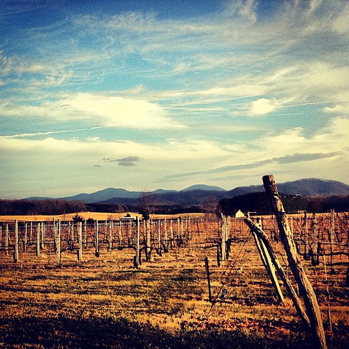
square squareformat iphoneography instagramapp xproii uploaded:by=instagram foursquare:venue=4b904161f964a5203b7f33e3
Gorgeous! #nelson151 #vino
square squareformat iphoneography instagramapp xproii uploaded:by=instagram foursquare:venue=4bed9c1b9868a59317a85d46
#bissonetteontheroadagain
square squareformat amaro iphoneography instagramapp uploaded:by=instagram foursquare:venue=4bf54724d2fbef3be8e9a4c5
Beautiful destination for my afternoon bike ride.
rural farm virginia shenandoahvalley nikond3300
Heading Home
usa virginia unitedstates staunton waynesboro
Blue Ridge Mountains of Virginia
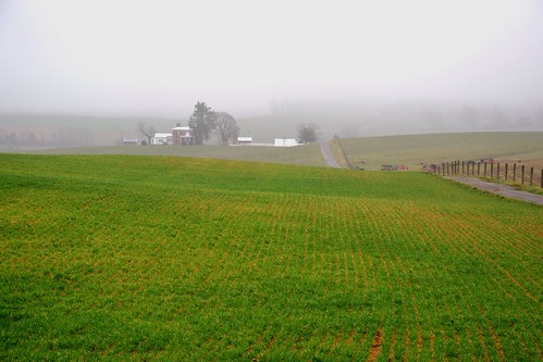
contours green augustacounty farm virginia hayfield shenandoahvalley nikond3300
The Wearin' Of The Green
blue mountains misty fog ridge
Promise of Spring
snow blueridge landscape winter snowscene virginia mountain tree white travel snowscape bliss
January Snow
square squareformat hefe iphoneography instagramapp uploaded:by=instagram
Nice day for a #vino
shenandoahvalley blueridge nikond3300
Shenandoah Valley From Atop the Blue Ridge
uploaded:by=flickrmobile flickriosapp:filter=wallaby wallabyfilter coynerpark
my babies at the dog park