Elevation of 33 Roseland Dr, Mills River, NC, USA
Location: United States > North Carolina > Henderson County > Mills River > Mills River >
Longitude: -82.572955
Latitude: 35.3880158
Elevation: 653m / 2142feet
Barometric Pressure: 94KPa
Elevation Map:
Satellite Map:
Related Photos:
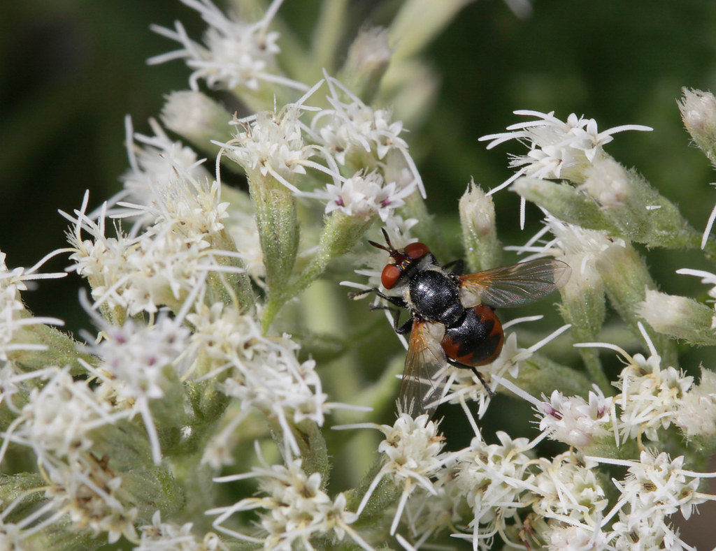
Colorful tach

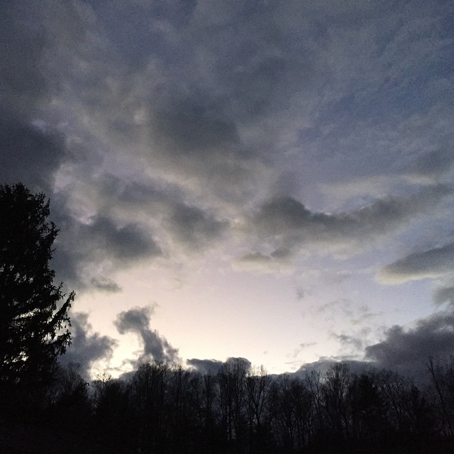
Early December Sunset

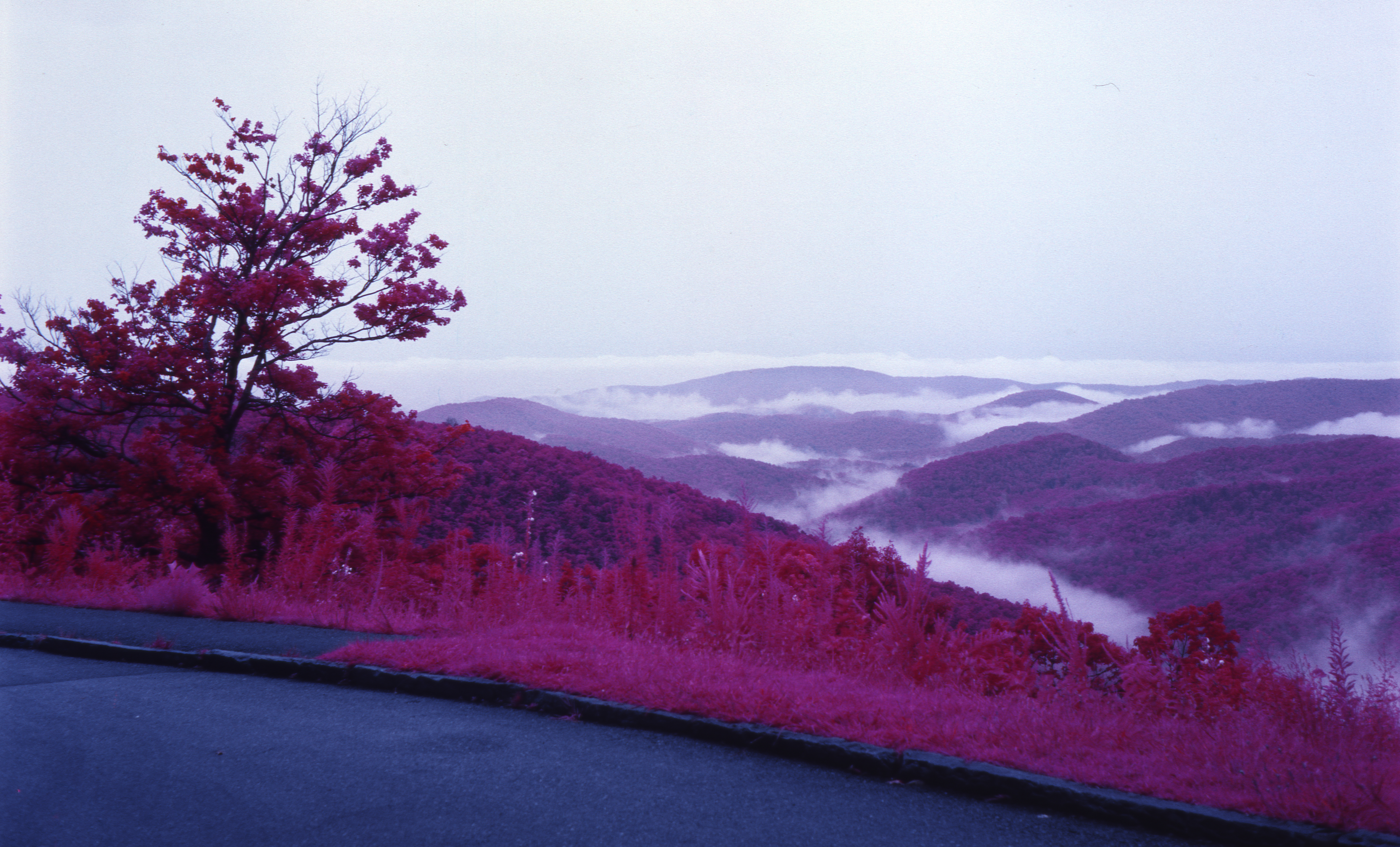
Jeter Mountain Fog

#beautiful#view from the #Ferris wheel

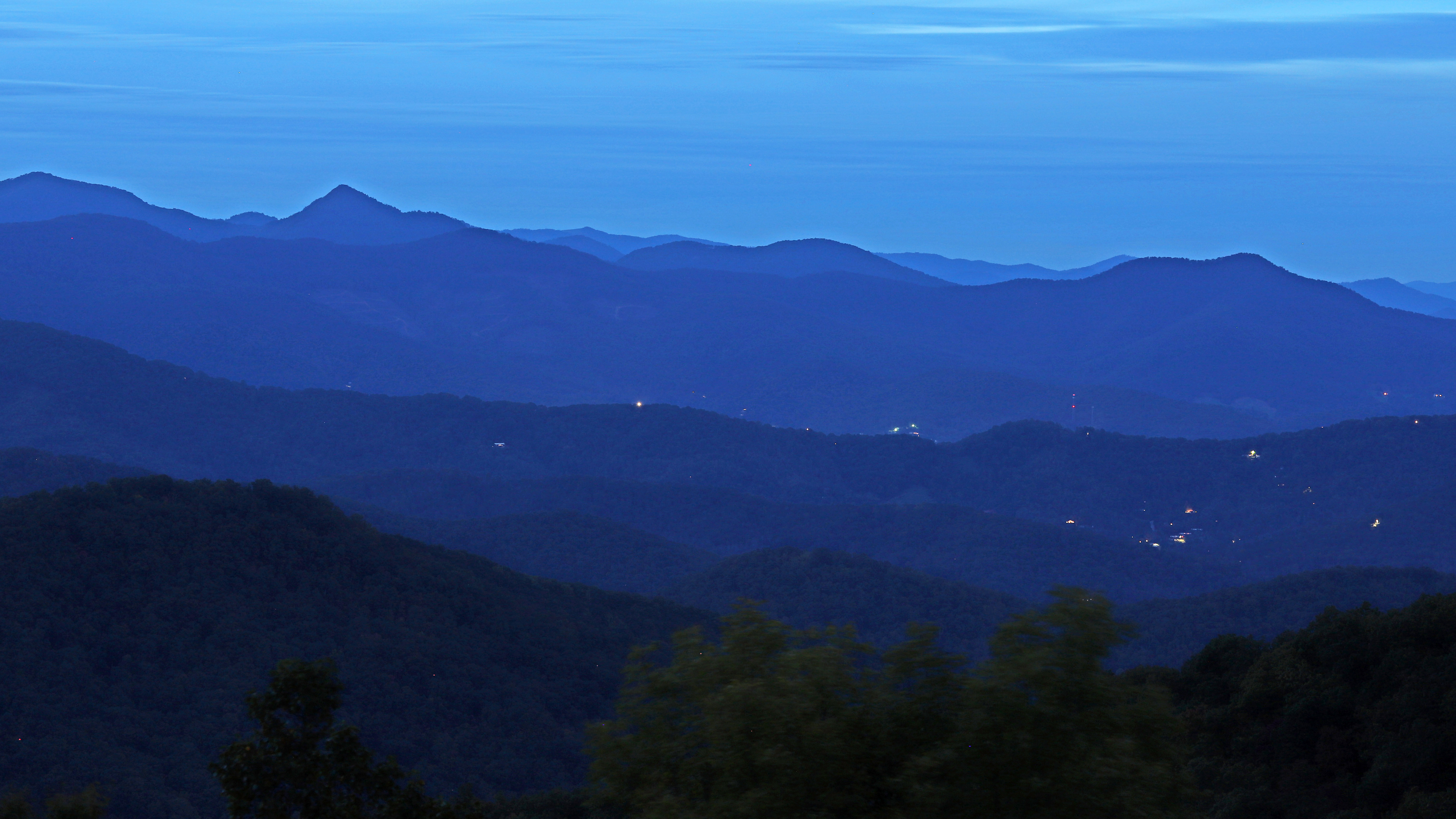
Welcome to Asheville NC - Blue Ridge Mountains Sunset

winter tree Ortonized

Green Peace...

56/365 ~ “A cloud cannot cast a shadow unless the sun is shining beyond it”

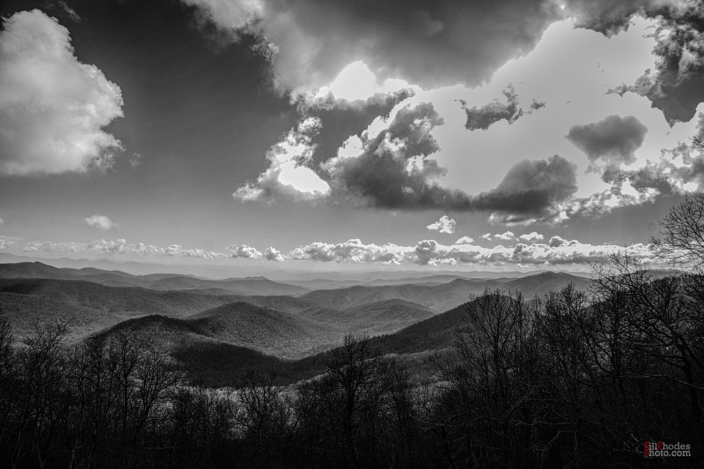
After the Storm

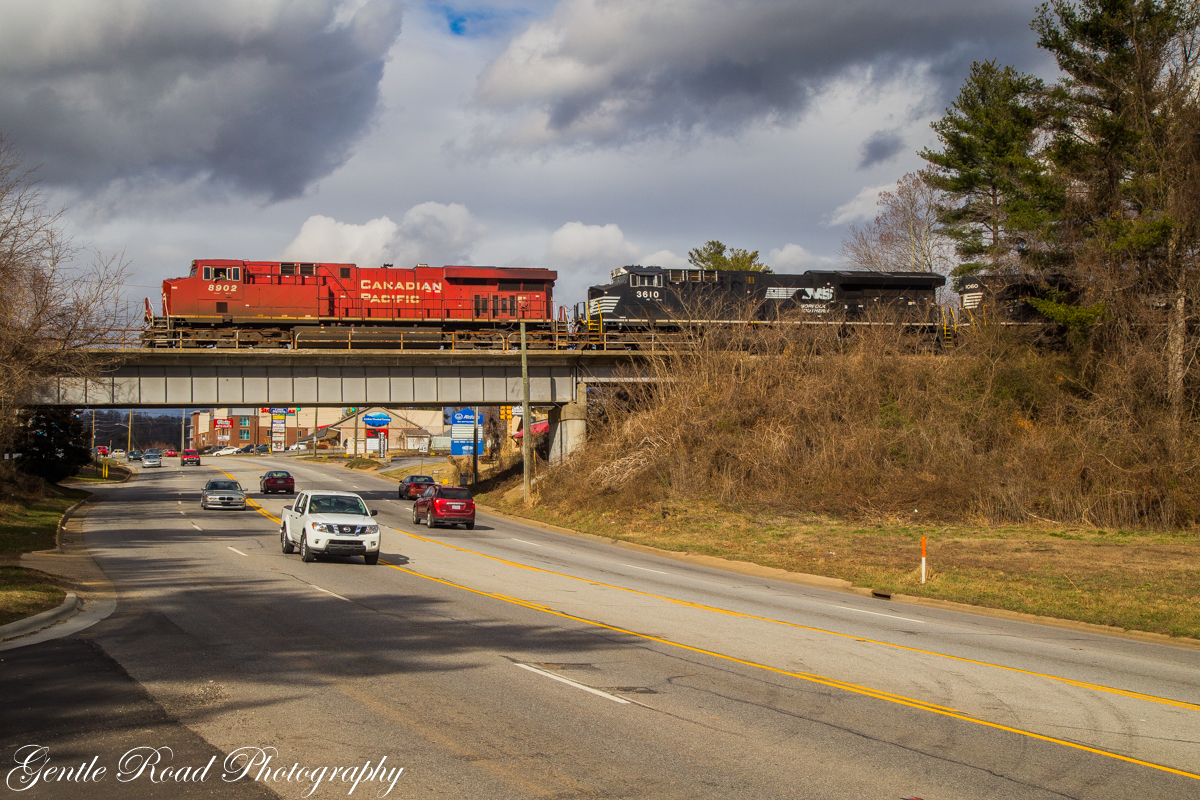
PV McCain Traffic Lights
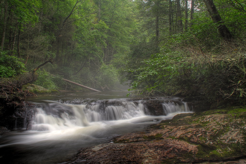
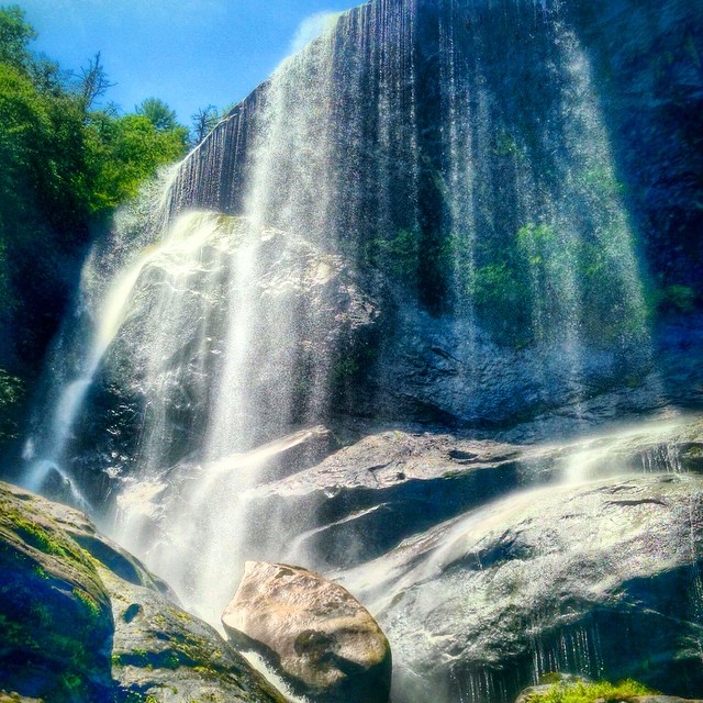
South Mills River Cascades

Layers of Nantahala
Hunter lives the high life.

Rock N' Water

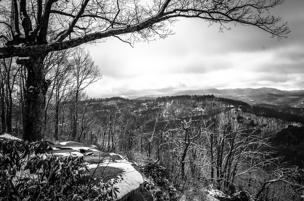
Winter Trees at Dawn
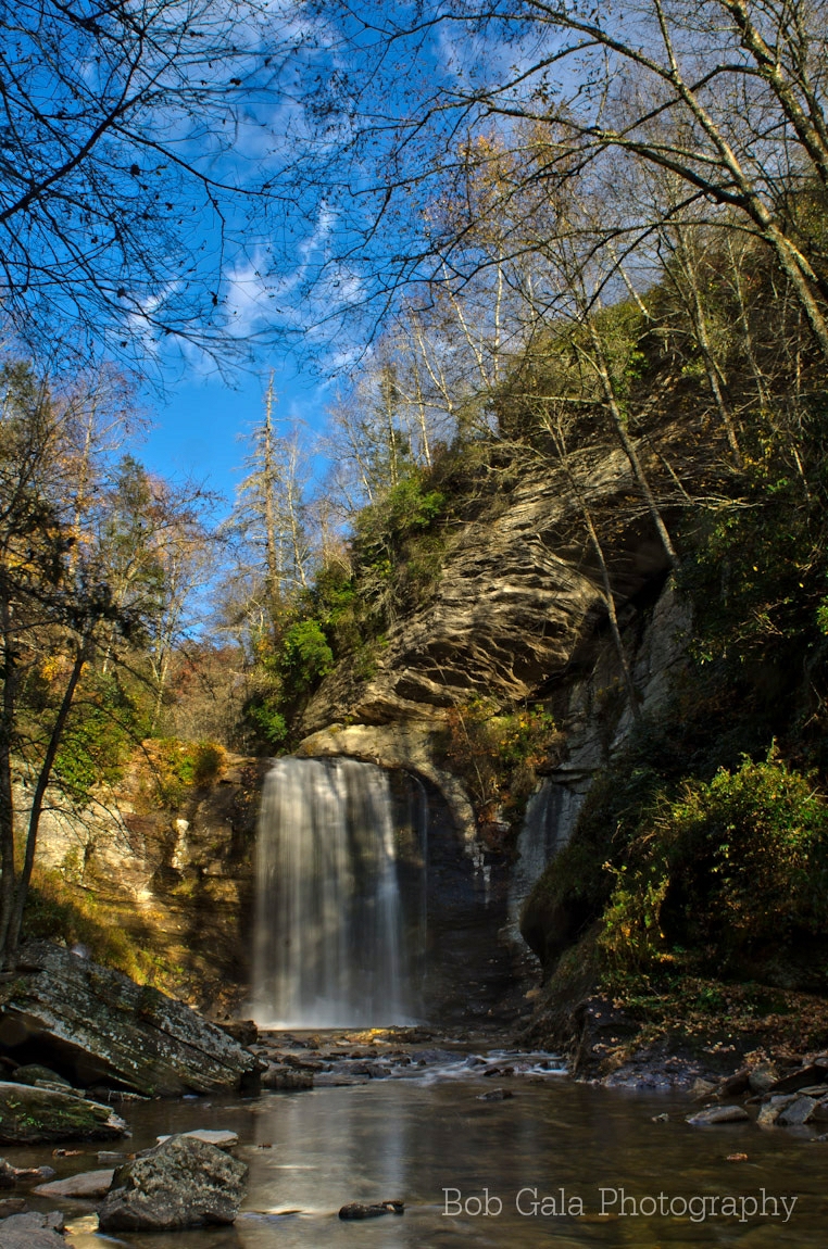
Looking Glass

private parts
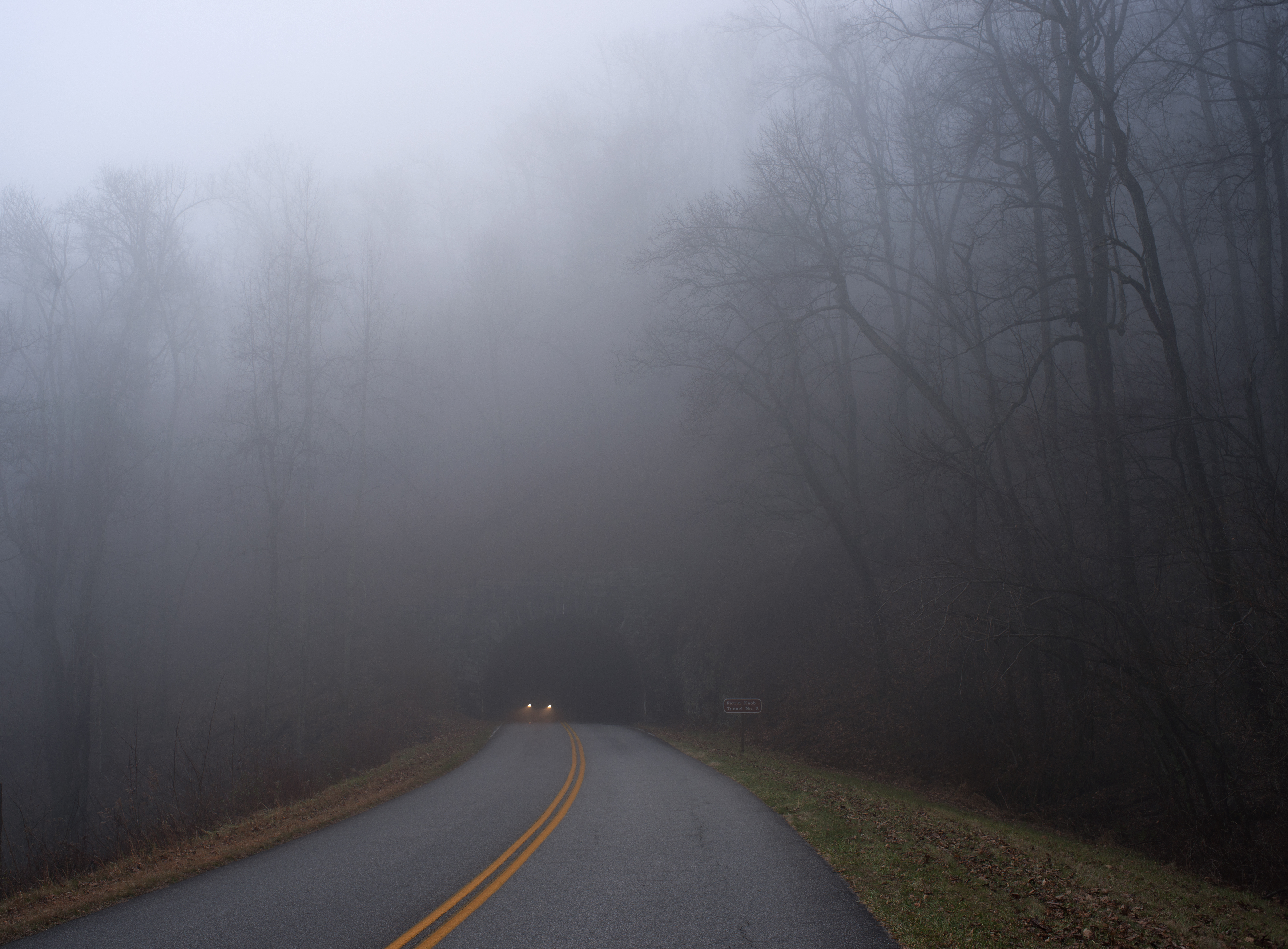
View near Ferrin Knob
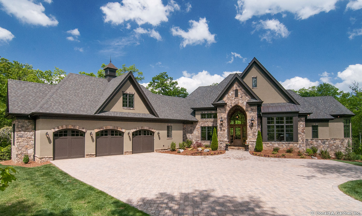
Plan #5020-The Jasper Hill

TrackHead Studios - Full Suppport

Photographers at Jump Off Rock viewing Sunset over Blue Ridge Mountains, North Carolina

Sun Beam
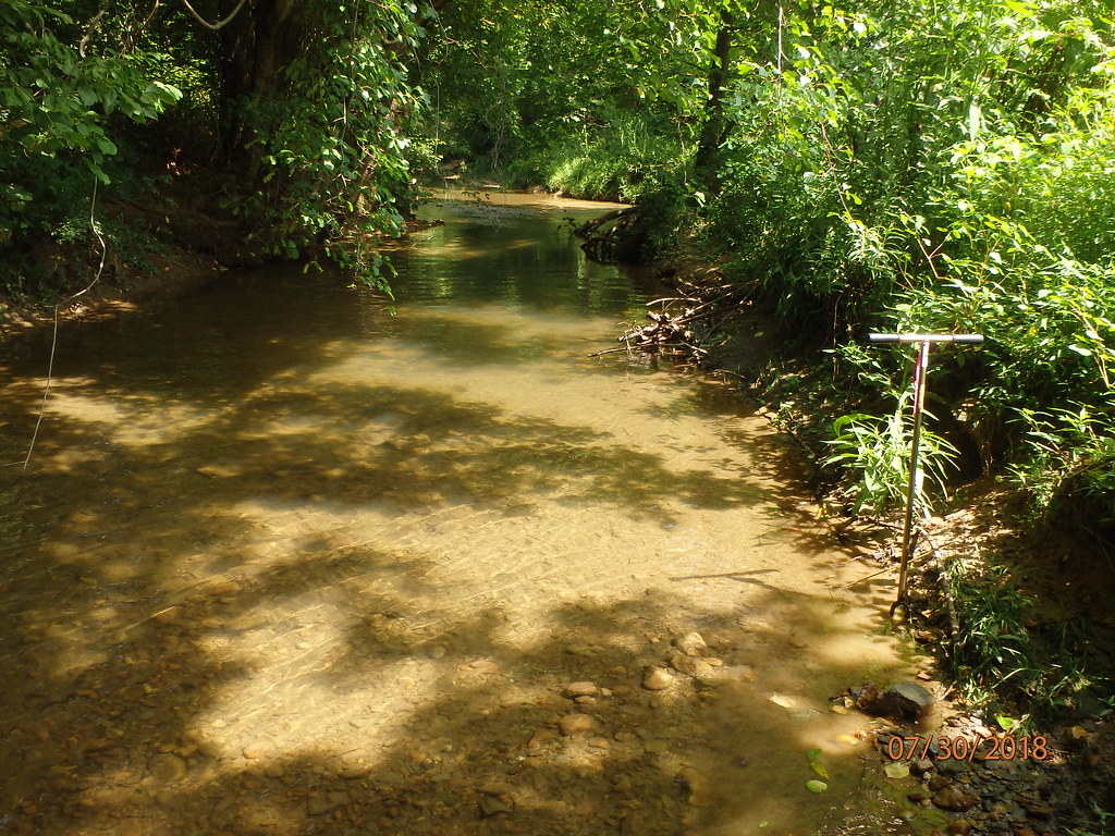
Robinson Creek (314)
Dicks Creek Falls - Cherokee National Forest - Unicoi County TN ... This waterfall was the 250th that I visited this year, most accessed by off trail hiking ... It's been my pleasure to post pictures of many of these falls on Instagram #tennessee #explore

Mist and beams

Before the rain

Hominy Valley Prismatic

Pretty Tops in the Good Light

The Seat of Power
Blue Ridge Parkway

Throwing rocks, Lake Powhatan Edition.
Mills River and beyond-4358_3
Silence In Black And White

Turkey Creek I
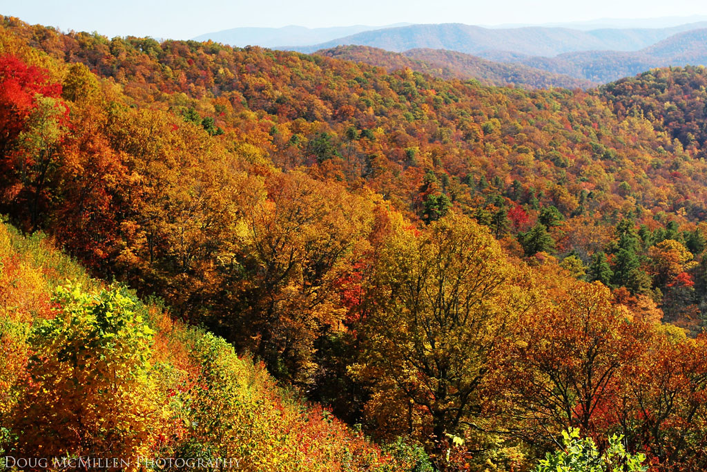
North Carolina Color
Resolute Emergence
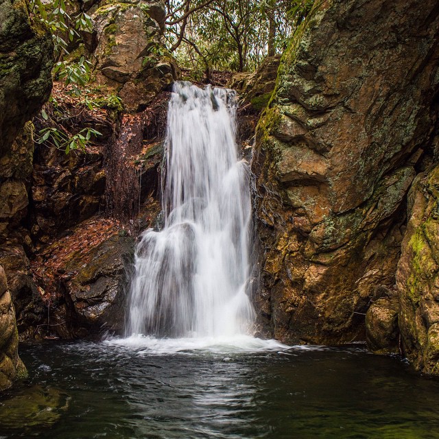
Flat Creek Falls #flatcreekfalls #panthertownvalley #iphotography #igersoftheday #iphonepro #nofilter #waterfallpics #828isgreat #waterfallhiking #brevard #nantahalanationalforest #northcarolinamountains #northcarolinawaterfalls
From the roof. NC sunset. #fletchernc @xjosephredbeardx
Topographic Map of 33 Roseland Dr, Mills River, NC, USA
Find elevation by address:

Places near 33 Roseland Dr, Mills River, NC, USA:
Cross Rd Dr, Mills River, NC, USA
Mills River
23 Cliffside Dr
2 Greenhouse Rd
Boylston Highway
231 Ladson Spring Trail
197 Banner Farm Rd
Mills River Park
292 Highland Glenn Trce
Nesbitt Drive
24 Sterling Pl
100 Forge Mountain Rd
290 Lance Rd
Legacy At Mills River
603 Fanning Fields Rd
39 Lofty Pine Ln
30 Bradford Creek Rd
13 Persimmon Dr
385 Bradford Hill Rd
455 Research Drive
Recent Searches:
- Elevation of Corso Fratelli Cairoli, 35, Macerata MC, Italy
- Elevation of Tallevast Rd, Sarasota, FL, USA
- Elevation of 4th St E, Sonoma, CA, USA
- Elevation of Black Hollow Rd, Pennsdale, PA, USA
- Elevation of Oakland Ave, Williamsport, PA, USA
- Elevation of Pedrógão Grande, Portugal
- Elevation of Klee Dr, Martinsburg, WV, USA
- Elevation of Via Roma, Pieranica CR, Italy
- Elevation of Tavkvetili Mountain, Georgia
- Elevation of Hartfords Bluff Cir, Mt Pleasant, SC, USA