Elevation of 33 Mason Dr, Montpelier, VT, USA
Location: United States > Vermont > Washington County > Moretown >
Longitude: -72.744627
Latitude: 44.324316
Elevation: 135m / 443feet
Barometric Pressure: 100KPa
Elevation Map:
Satellite Map:
Related Photos:

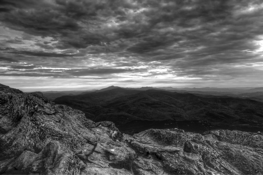
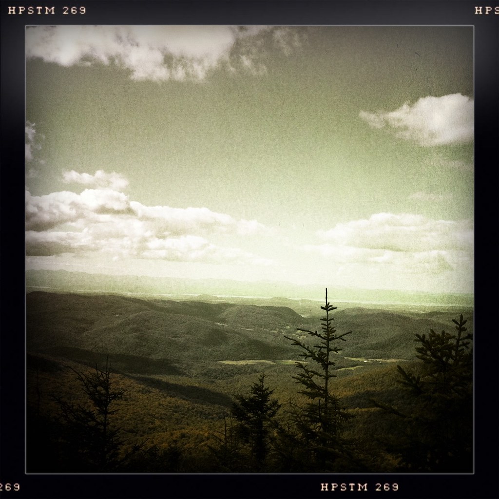
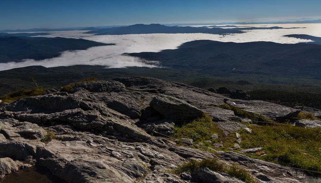
A view from near the summit...

This is my favorite view of Camel’s Hump. Found it by taking not the Long Trail. There was a small path that went straight up a hill. Rugged and steep, I made the quick ascent and came upon a bench that remained there in memory of someone who had passed.
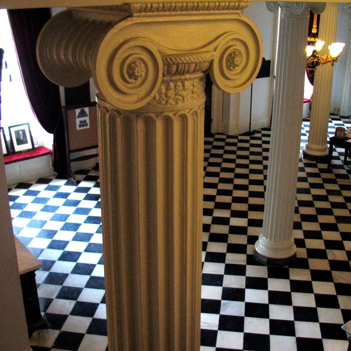
lobby • columns
The View From Camel's Hump Sept 07 01
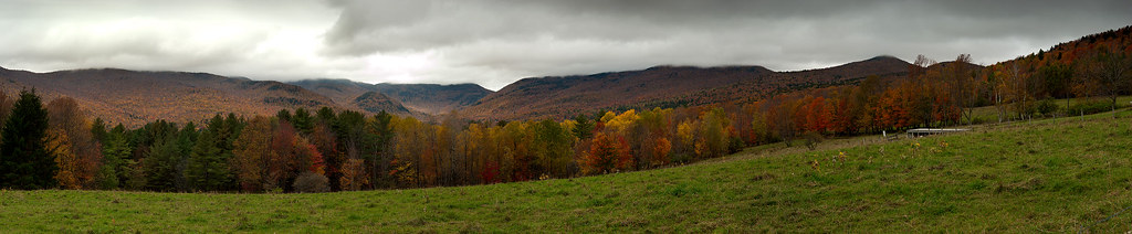
Nebraska Notch Panorama
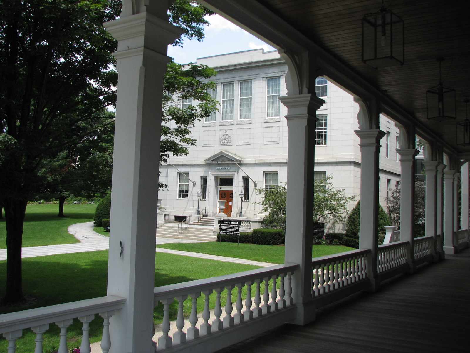
capitol • outlook
columned • view

#fall epic view
view from burnt rock

rear view clouds

Stowe View

View from Trapp Lodge #instadaily #nature #instagramers #instagood #green #bestoftheday #follow #picoftheday #awesome #nofilter #iphoneonly #followme #photooftheday #beautiful #like #webstagram #vermont #eavig #empireavenue
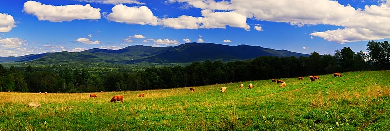
Scottish Cattle in Green Mountains (DSH_5846-53)

Camel's Hump

From Hump to Mount Mansfield
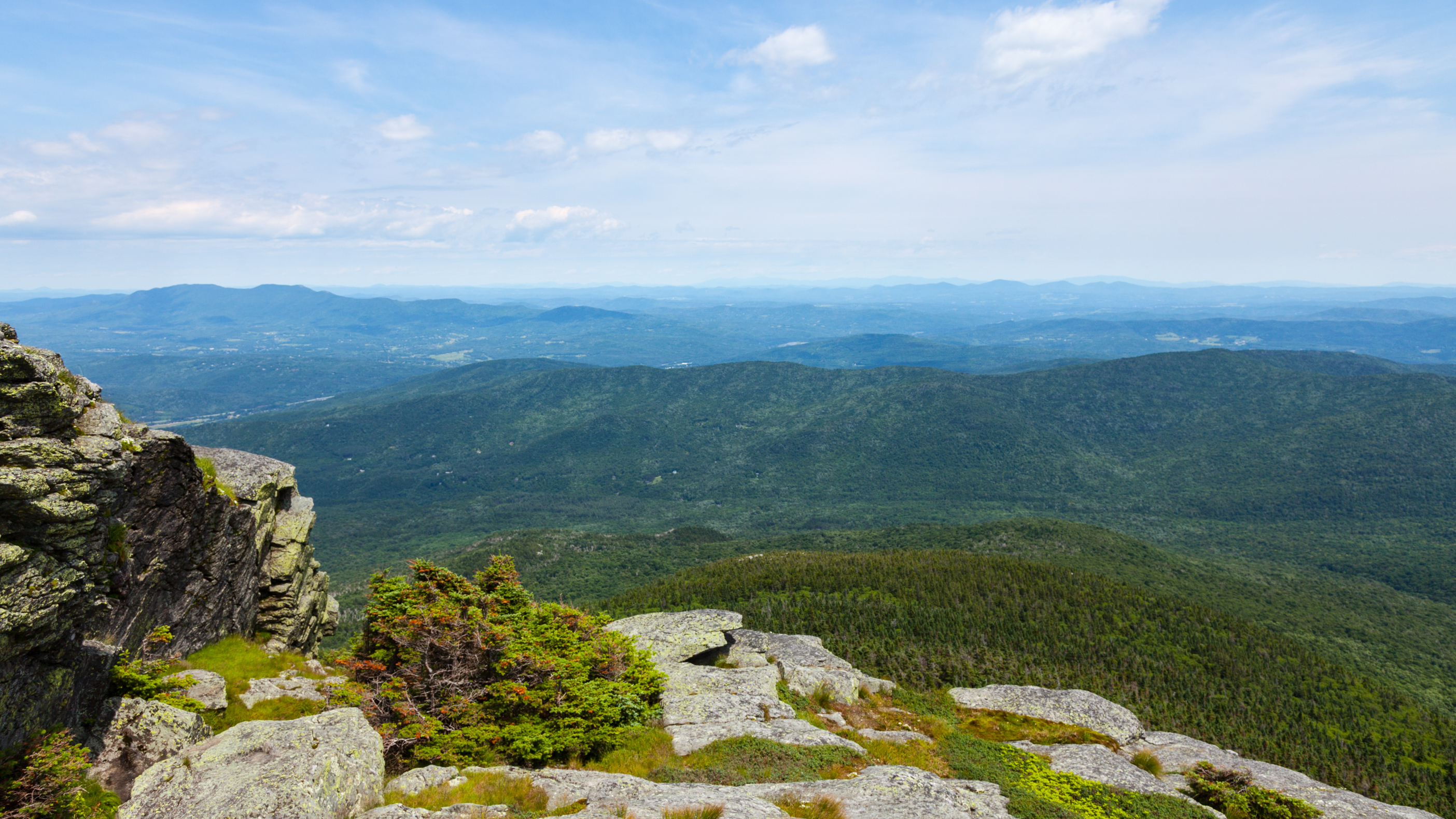
Camel's Hump
D705 Montpelier Vermont ©
View from the fire tower

D708 Montpelier Vermont ©

Pinnacle 2
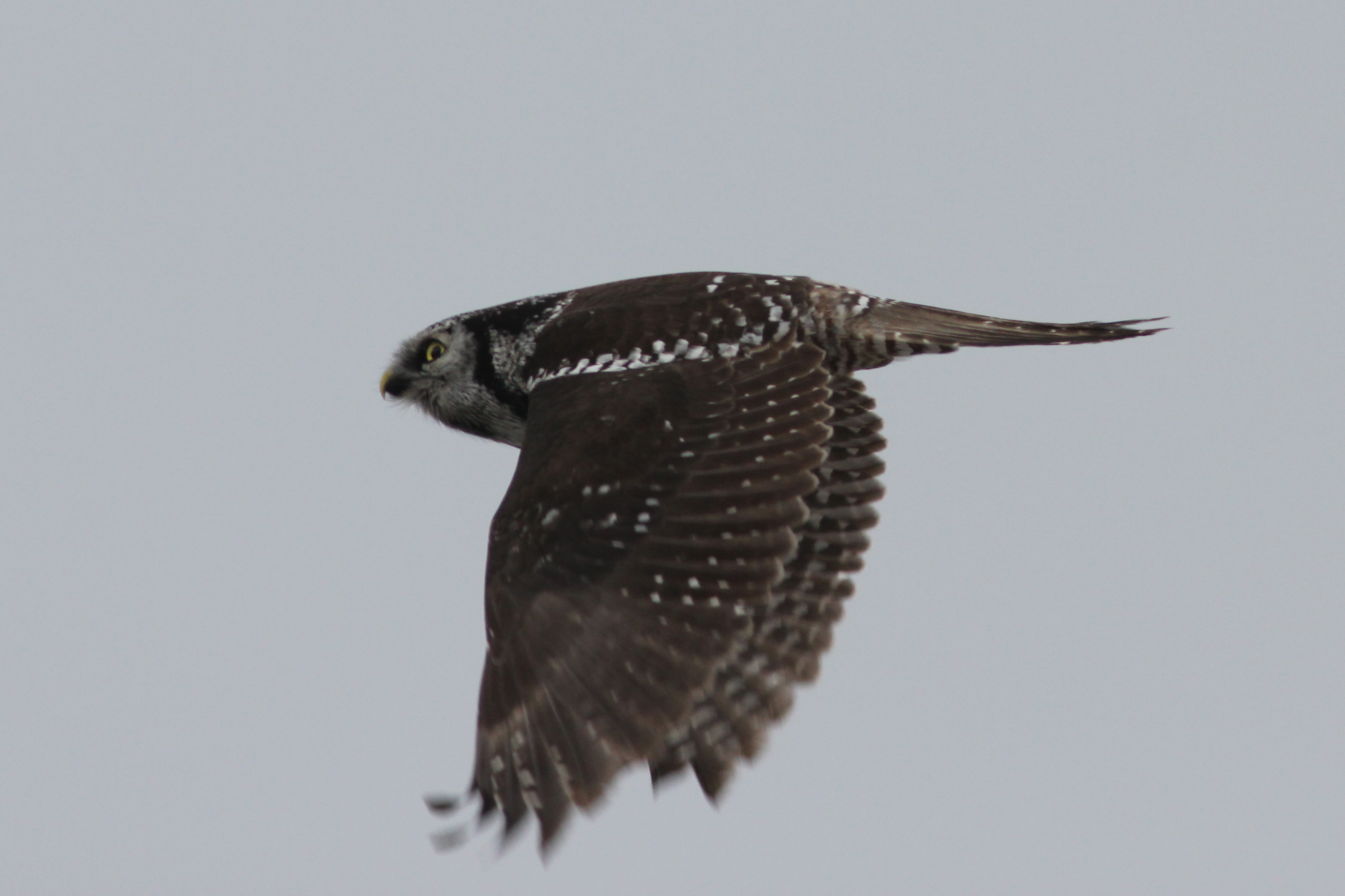
Northern Hawk Owl, Waterbury Center, VT 12/21/13
Camel's Hump summit
A bit of pre-dawn magic
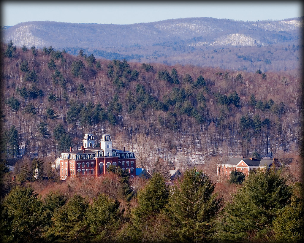
Vermont College
Vermont-7414.jpg

It's All Down Hill From Here
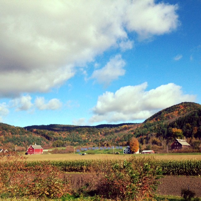
#barns in Bolton #instaeffects #instadaily #nature #instagramers #instagood #green #bestoftheday #follow #picoftheday #awesome #nofilter #iphoneonly #followme #photooftheday #beautiful #like #webstagram #vermont #eavig #empireavenue

untitled-11.jpg

Good weather for airstrikes

November Streaming

Camels Hump in Springtime

I guess I shouldn't be surprised that the waterfall behind my house is completely frozen

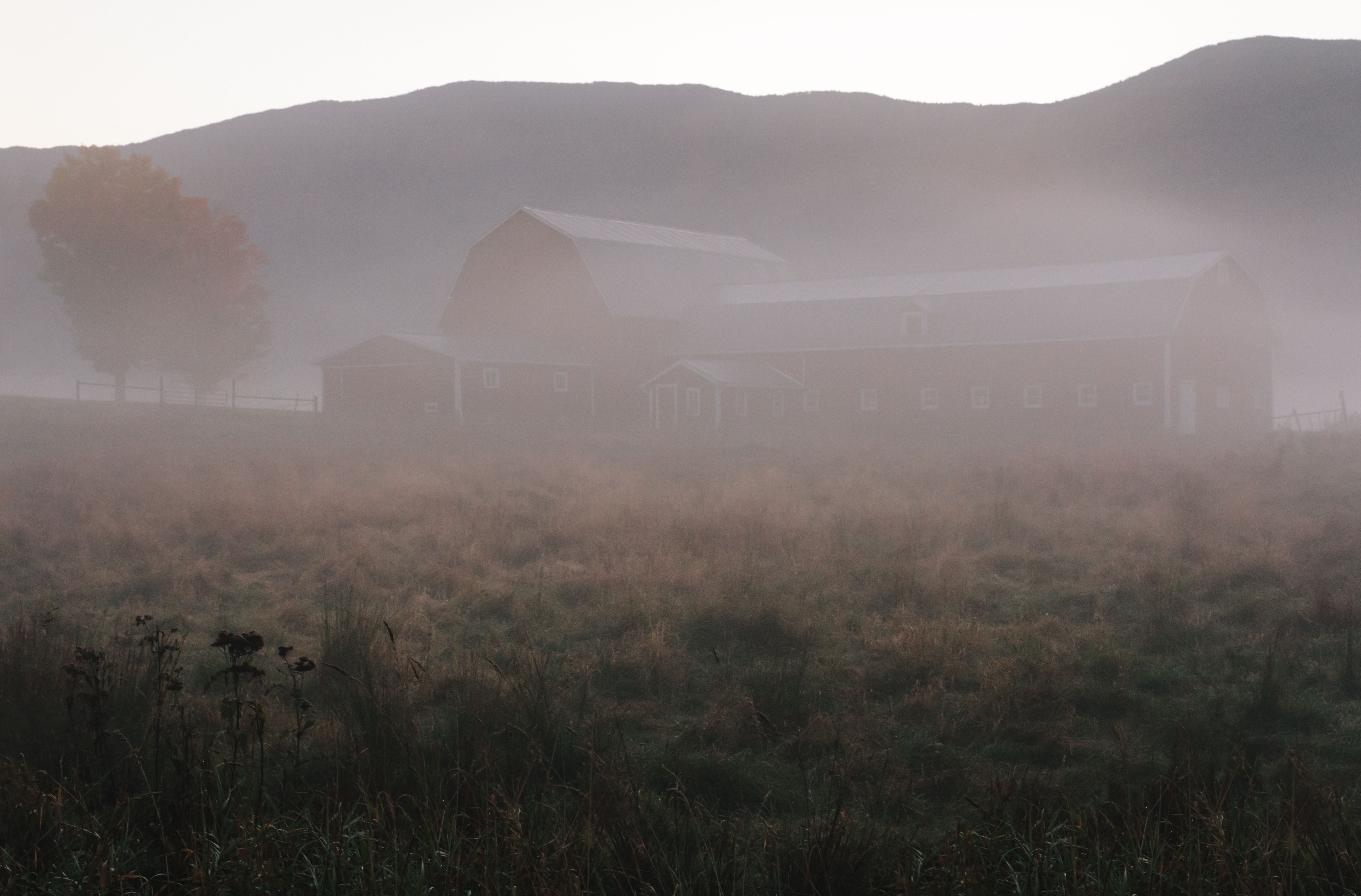
The Red Barn

Vermont 009
Camel's Hump summit
Topographic Map of 33 Mason Dr, Montpelier, VT, USA
Find elevation by address:

Places near 33 Mason Dr, Montpelier, VT, USA:
67 Fairground Rd
Duxbury
Main Street
280 State Dr
Waterbury
Waterbury
192 Laurel Rd
1017 Waterbury Stowe Rd
Fairfield Inn & Suites By Marriott Waterbury Stowe
626 Blush Hill Rd
420 Lonesome Trail
45 High Birches
231 W Pinnacle Ridge Rd
89 Wilder Ln #6
334 Upland Mowing Rd
650 Perry Lea Rd
300 N Pinnacle Ridge Rd
64 Perry Lea Rd
355 Michigan Ave
67 Metayer Ct
Recent Searches:
- Elevation of Corso Fratelli Cairoli, 35, Macerata MC, Italy
- Elevation of Tallevast Rd, Sarasota, FL, USA
- Elevation of 4th St E, Sonoma, CA, USA
- Elevation of Black Hollow Rd, Pennsdale, PA, USA
- Elevation of Oakland Ave, Williamsport, PA, USA
- Elevation of Pedrógão Grande, Portugal
- Elevation of Klee Dr, Martinsburg, WV, USA
- Elevation of Via Roma, Pieranica CR, Italy
- Elevation of Tavkvetili Mountain, Georgia
- Elevation of Hartfords Bluff Cir, Mt Pleasant, SC, USA