Elevation of 32 W Leyden Rd, Colrain, MA, USA
Location: United States > Massachusetts > Franklin County > Colrain >
Longitude: -72.681935
Latitude: 42.670216
Elevation: 302m / 991feet
Barometric Pressure: 98KPa
Elevation Map:
Satellite Map:
Related Photos:

1979 09-28 1655 B&M GP38-2-203 switching at East Deerfield, MA

White Dahlia

Sunshine in the Rain

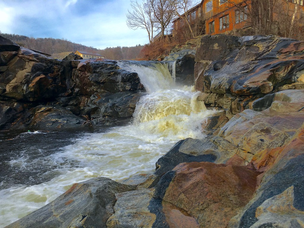
Old Man of the Falls

Mouse's Eye View
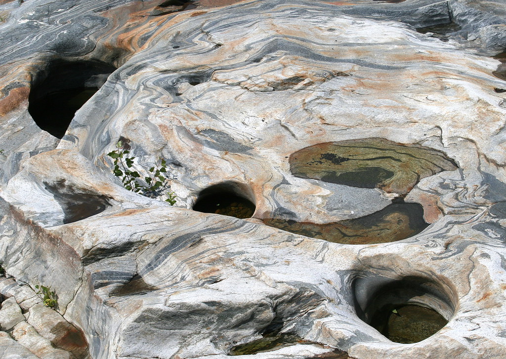
Glacial Potholes
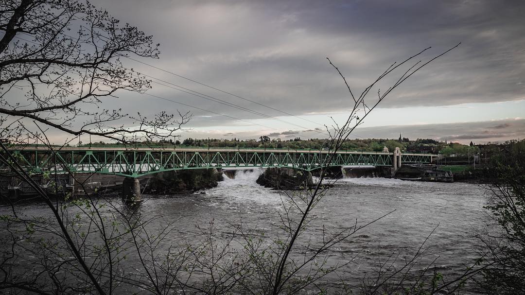
view off bridge

Bahamian Shake + post-processing

Mouse's Eye View #2
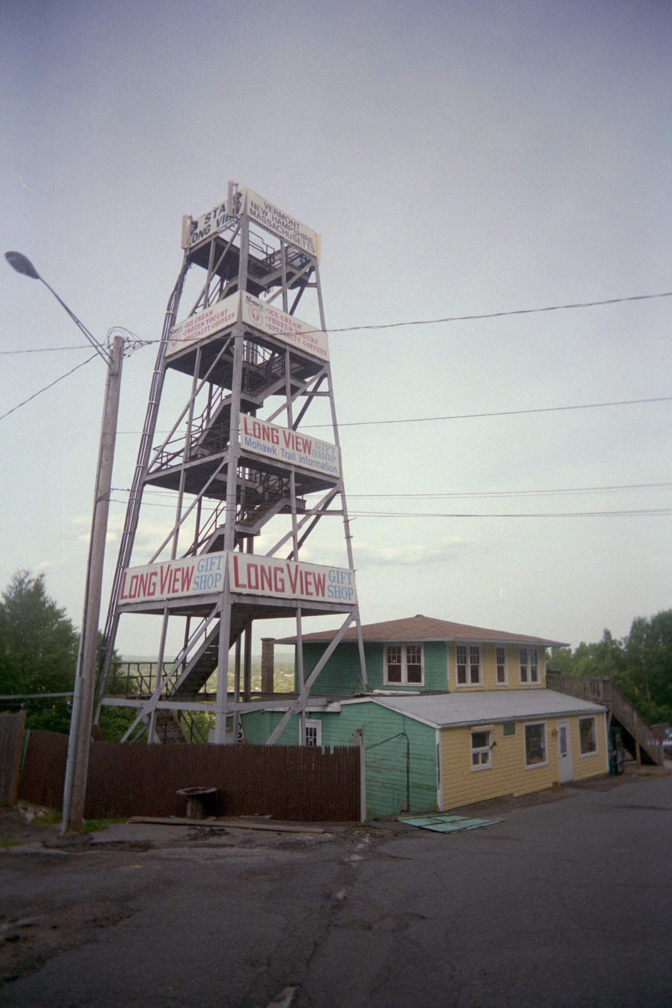
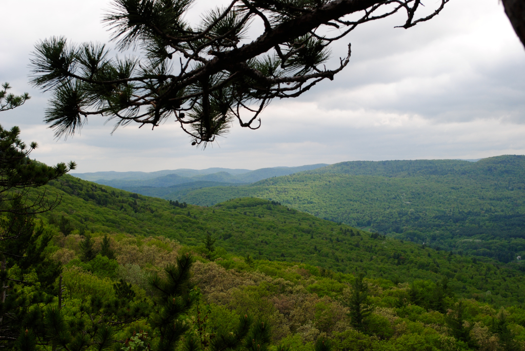
Long View Tower

Last view of Cabot Station from the living room

View through Bridge to East Portal to Hurricane Damaged Eunice Williams Covered Bridge

A Grating View
View frombridge

Morning on the canal view 3

fast friends

View from the Roundhouse
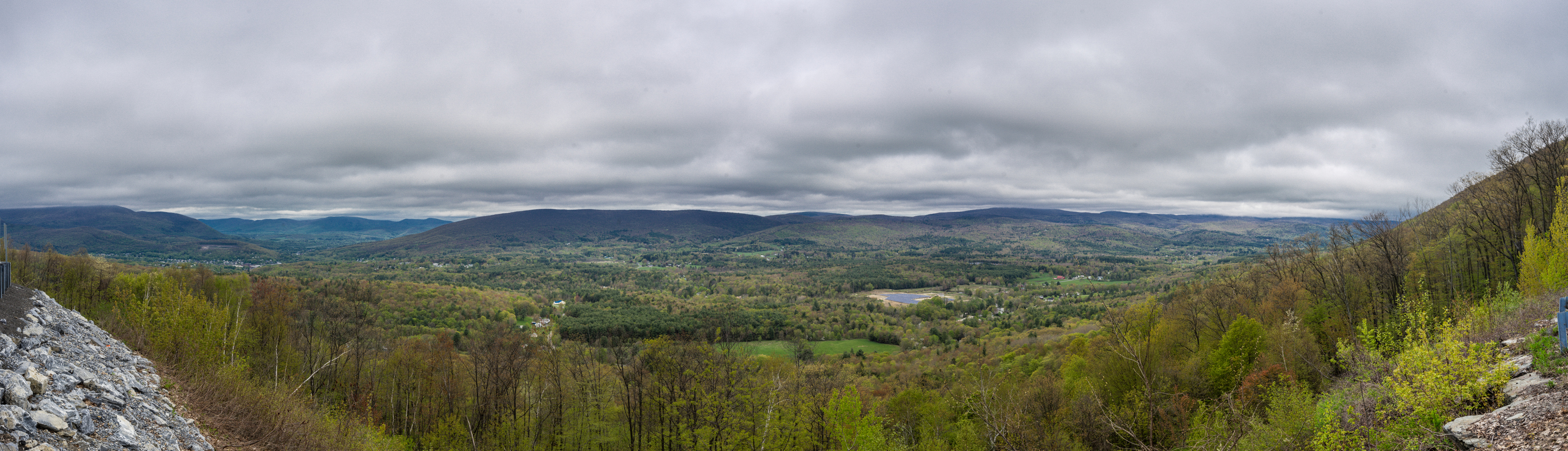
View From High Ledges
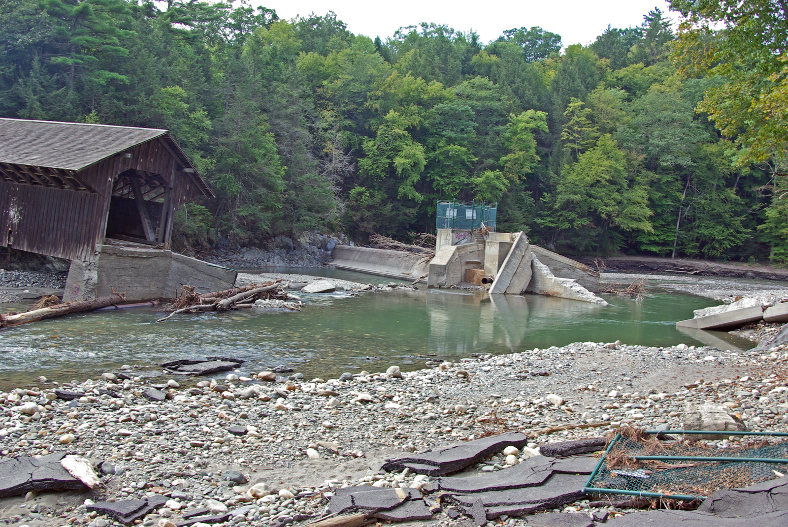
View from East Side to Hurricane Damaged Eunice Williams Covered Bridge
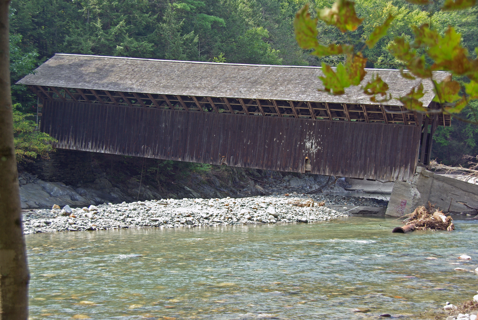
View from East Side to Hurricane Damaged Eunice Williams Covered Bridge

View from East Side to Hurricane Damaged Eunice Williams Covered Bridge

Buckland on Deerfield

Shelburne Falls

The Bridge of Flowers in peak season

Railroad Bridge
DSC02262-Pano

_DSC9821.jpg

Salmon Falls at Shelburne Falls Ma
Swimming Hole
Deerfield Mass 14 Oct 2018 (36)

Deerfield Mass 14 Oct 2018 (33)

Bridge of Flowers Shelburne Falls Ma
Waterfall and side canal

Mohawk Trail_-14
#adventureahead #newchapter #vtshots #dirtroads #spring #vermontshots my last day at @marlborocollege

IMG_0592 Infrared
#berkshires #newengland #nature-photography #nature #landscape #landscapephotography #landscape_captures #spring #landscape_lovers #beauty #fujifilm #fujifilm_xseries #massachusetts #spring #architecture #architecturephotography #architecturelovers #gree
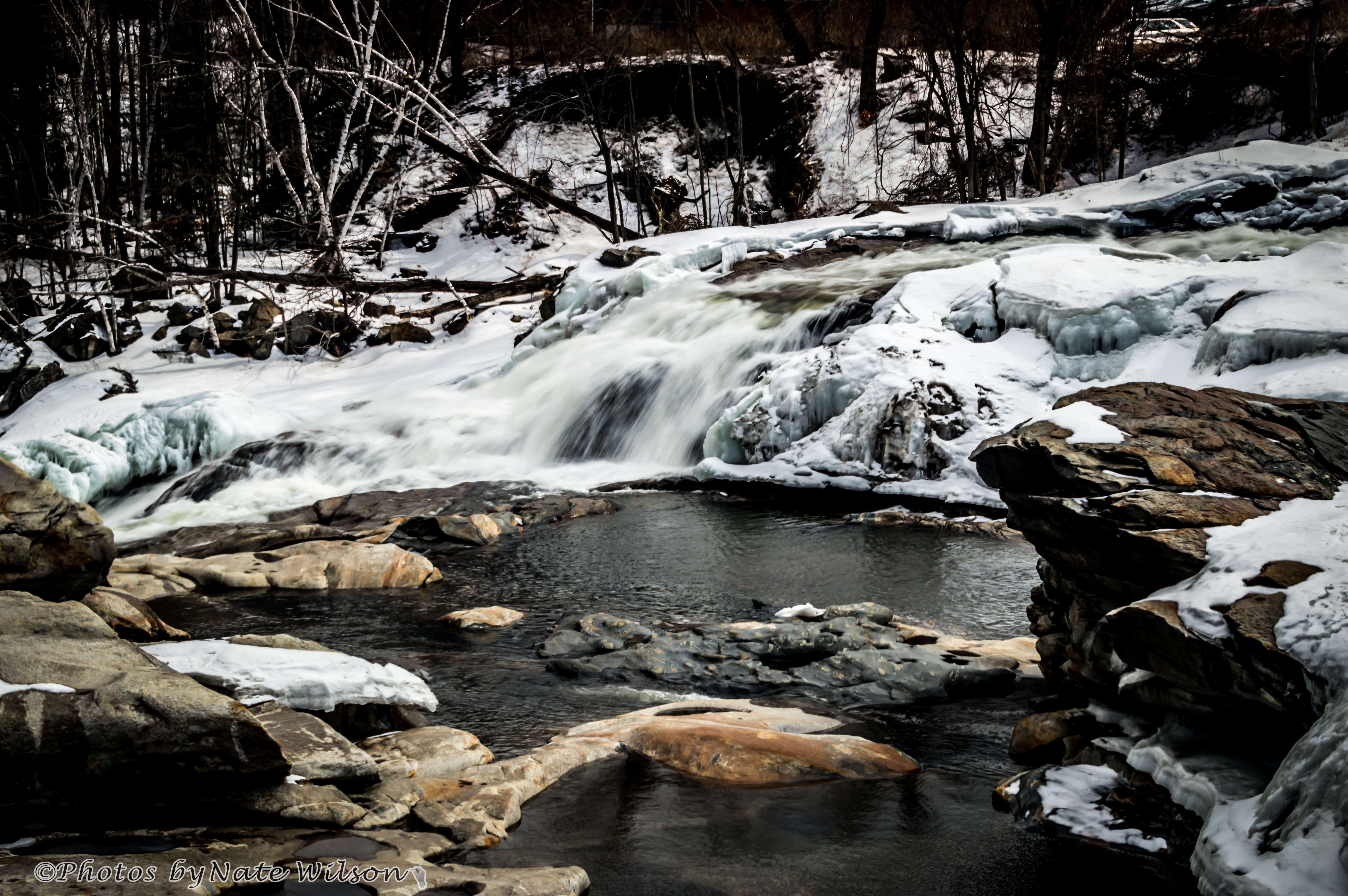
Salmon Falls - March 20, 2014
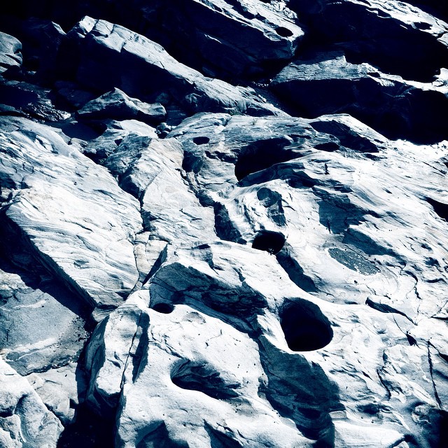
Holes in a hole #nature #Geology #touristy

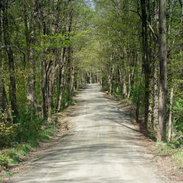
Jacksonville Stage Rd - Guilford, VT

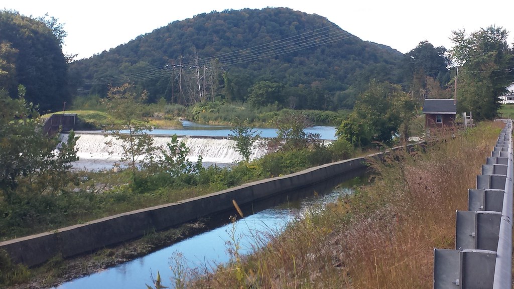
Canal drawdown 02

Mohawk Trail_-11
Topographic Map of 32 W Leyden Rd, Colrain, MA, USA
Find elevation by address:

Places near 32 W Leyden Rd, Colrain, MA, USA:
1 Phillips Dr, Colrain, MA, USA
Cromack Lane
28 Cromack Ln
108 W Leyden Rd
5 Greenfield Rd
Colrain
64 Shelburne Line Rd
Greenfield Rd, Colrain, MA, USA
50 Prolovich Rd
Prolovich Road
Avery Hill Road
Main Rd, Colrain, MA, USA
32 W Leyden Rd
5 High St, Colrain, MA, USA
521 W Leyden Rd
160 George Lamb Rd
268 Jacksonville Rd
333 Main Rd
510 Little Mohawk Rd
MA-, Colrain, MA, USA
Recent Searches:
- Elevation of Corso Fratelli Cairoli, 35, Macerata MC, Italy
- Elevation of Tallevast Rd, Sarasota, FL, USA
- Elevation of 4th St E, Sonoma, CA, USA
- Elevation of Black Hollow Rd, Pennsdale, PA, USA
- Elevation of Oakland Ave, Williamsport, PA, USA
- Elevation of Pedrógão Grande, Portugal
- Elevation of Klee Dr, Martinsburg, WV, USA
- Elevation of Via Roma, Pieranica CR, Italy
- Elevation of Tavkvetili Mountain, Georgia
- Elevation of Hartfords Bluff Cir, Mt Pleasant, SC, USA