Elevation of 32 Saddle Rock Rd, West Greenwich, RI, USA

Location: United States > Rhode Island > Kent County > West Greenwich >

Longitude: -71.717053

Latitude: 41.644668

Elevation: 151m / 495feet

Barometric Pressure: 100KPa

Elevation Map:

elevation map of 32 Saddle Rock Rd, West Greenwich, RI, USA

Satellite Map:

Satellite map of 32 Saddle Rock Rd, West Greenwich, RI, USA

Related Photos:

ri brown grave death vampire newengland folklore dracula lena rhodeisland exeter undead vault legend mercy vampyre mercybrown consumption tuberculosis providencejournal receivingvault chestnuthillcemetery jeffbelanger trigphotography frankcgrace legendtripping
The Receiving Vault
nikond7100 nathanaelgreene nathanaelgreenehomestead spellhall 50taftstreetcoventryri general georgewashington americanrevolutionarywar continentalarmy coventryrhodeislandusa rhodeisland ri rhodeislandusa sirois historical tamron17mmf35spbbarmchighspeedultrawideanglelensmodel51b tamron17mmf35 model51b
Nathanael Greene_04
ri history scary vampire newengland folklore dracula haunted spooky story rhodeisland legend vampyre mercybrown consumption hysteria ghostvillage jeffbelanger mercylenabrown mercylbrown legendtripping
The Legend of Mercy L. Brown...vampire?
ri panorama usa water unitedstates dam rhodeisland allrightsreserved rockville hopkinton yawgoog redtrail yellowtrail moonrisekingdom
Panoramic View of Yawgoog Pond from the Dam
ri panorama usa water unitedstates rhodeisland allrightsreserved rockville hopkinton armstrongpoint yawgoog narragansetttrail yellowtrail southwestpassage daviscampsite
Panoramic View of the Southwest Passage
ri usa water unitedstates rhodeisland allrightsreserved rockville hopkinton armstrongpoint yawgoog narragansetttrail yellowtrail daviscampsite schoonerisland
View of Schooner Island from Armstrong Point
ri panorama usa water unitedstates rhodeisland allrightsreserved rockville hopkinton armstrongpoint yawgoog narragansetttrail yellowtrail daviscampsite
Panoramic View of Yawgoog Pond from Armstrong Point
Make-A-Wish
plants texture water pond underwater pad lilypad
One Pale Pad
light rhodeisland westgreenwichri odc2 rjoannejohnson lakemishnock
ODC2 Natural Light
Crescent Moon
usa water unitedstates connecticut ct stereograph sluice cairn allrightsreserved greenfalls voluntown narragansetttrail pachaugstateforest greenfallriver mherbertkenyon
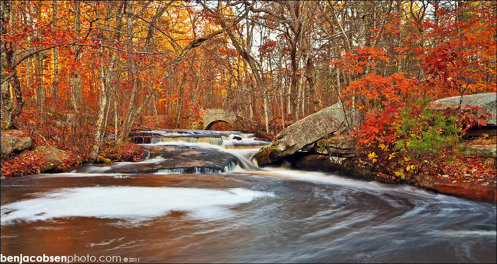
Wooden Sluice on Cairns in Green Fall River Ravine
Lake View
ri water allrightsreserved hopkintonlongpondnarragansetttrailrhodeislandunitedstatesusapanorama moonrisekingdom
Panoramic View of Long Pond
sun moon lake fall love sign pond view foliage viewpoint philosophical
Philosophical Viewpoint
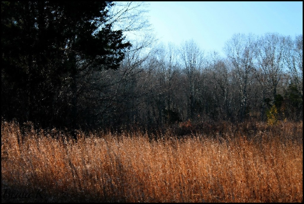
november trees sky tree nature field grass bluesky rhodeisland coventryrhodeisland georgebparkerwoodlandrefuge
NOVEMBER MOOD
wasp idplease 11 rhodeisland rattlesnakeledge realmacro insectmacro waspmacro sooc westgreenwich pentaxk20d tamronadaptall218f11tube tamronadaptall2pentaxkamount tamronadaptall2model52bbsp90mmf25macrolens wickaboxettmanagementarea
Wasp Face
panorama usa water unitedstates connecticut ct allrightsreserved voluntown pachaugstateforest pachaugtrail hellhollowpond hellhollowroad quinebaugtrail
Panoramic View of Hell Hollow Pond
usa water unitedstates connecticut ct allrightsreserved voluntown pachaugstateforest pachaugtrail nehantictrail mountmiserybrook mtmiserybrook
Mount Misery Brook
usa water unitedstates connecticut ct allrightsreserved voluntown narragansetttrail pachaugstateforest greenfallpond
Panoramic View of Green Fall Pond
usa unitedstates connecticut ct allrightsreserved greenfalls voluntown narragansetttrail pachaugstateforest greenfallpond greenfallriver greenfallravine
Modern View of Green Fall River Ravine
autumn lake fall vibrant rhodeisland mishnock odc3 rjoannejohnson
ODC3 Odd: Explore, October 23, 2012
autumn landscape newengland rhodeisland fujifilm 1855 xe1 maxwellmayswildliferefuge
New England Autumn [ Explored ]
sky lake reflection water peace cream august rhodeisland serenity serene 365daysincolour mishnock odc3 rjoannejohnson
ODC3 Serenity, 50/365 Days in Colour : Explore, August 21, 2012
longexposure autumn trees nature water leaves outdoors rocks waterfalls
Stepstone Falls
Wood River
Beach Pond
usa unitedstates connecticut ct erosion creativecommons damage atv orv beachpond voluntown pachaugstateforest pachaugtrail
Pachaug Trail Damage from Vehicles
ri usa water unitedstates connecticut ct allrightsreserved voluntown pachaugstateforest pachaugtrail greenfallpond
View of Green Fall Pond from the North
pachaug at sunset
ri fall leaves river waterfall 1740 leegnd 5dii leecp nooseneckhollow
Nooseneck lower falls
Carr River Dam
orange fall colors leaves waterfall rhodeisland steppingstone gnd 5dii leecp
stepping stone swirlies
road trees rural canon shadows path 60d odc3
ODC3 Paths/Pavements
spring rhodeisland westgreenwichri odc2 lakemishnock
ODC2 Dwarfed
ri fall leaves river waterfall 14mm 5dii nooseneckhollow
Nooseneck Vertical
arcadiastatepark nikond7100 manualfocus water recreation arcadiamanagementarea tamron3580mmf2835bbarmacrozoommodelqz35m modelqz35m tamron3580mmf2835 arcadianationalpark richmondrhodeislandusa exeterrhodeislandusa westgreenwichrhodeislandusa hikingtrail autumn rhodeisland ri rhodeislandusa sirois pond browningmillpond manuallens
Arcadia Fall 13_2
landscape uploaded:by=flickrmobile flickriosapp:filter=nofilter
day 05 | stormy new england drive | #landscape