Elevation of 32 Monmouth St, Brookline, MA, USA
Location: United States > Massachusetts > Norfolk County > Brookline > Longwood >

Longitude: -71.108409

Latitude: 42.3448768

Elevation: 6m / 20feet

Barometric Pressure: 101KPa

Elevation Map:

elevation map of 32 Monmouth St, Brookline, MA, USA
Satellite Map:

Satellite map of 32 Monmouth St, Brookline, MA, USA
Related Photos:

building 1219 large window sky mfa 2019 sliderssunday boston massachusetts unitedstatesofamerica
Museum View
usa green grass boston canon squirrel gray peanut scratch massachussetts ef24105l t1i lovelymotherearth
give me a peanut already!!
brooksbos boston bostonma brooks cybershot dscrx100m2 evening geotagged hdr landscape massachusetts newengland rx100m2 rx100 reflection sony sky skyline water sunset
Sunset over Boston viewed from Head Island
architecture brooksbos boston brooks city evening geotagged light lights cityscape nikon aerial massachusetts newengland night sky skyline tower view prudential skywalk
Boston Skyline looking East towards harbor
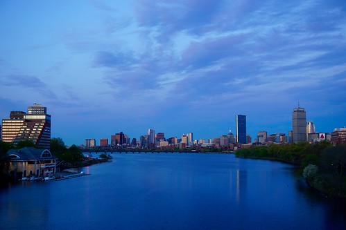
bridge sunset boston skyline river twilight newengland charles bluehour bu pw
Blue Hour Over Charles River and Boston Skyline
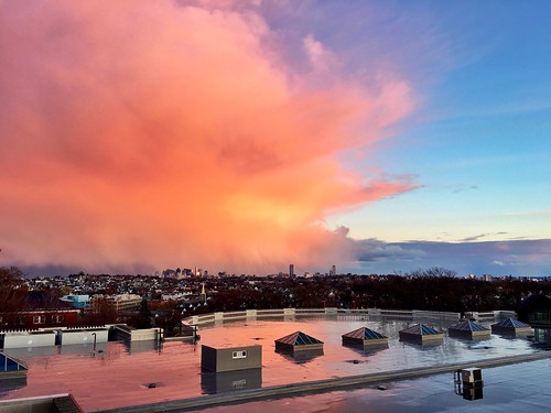
light sunset weather boston skyline golden massachusetts newengland somerville tufts pw tischlibraryroof
Boston Skyline Under Sunset Rainclouds
US...Boston...take me over...
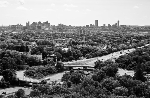
newengland massachusetts boston view forest woods wood trees leaves monochrome skyline wrightstower medford i93 interstate93 highway cars traffic bridge tower blackandwhite blackandwhitephotography bw
I-93
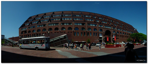
panorama marriott hotel wideangle longwharf tipidpc hs10 hs11 pnsers
Marriott Long Wharf
boston brooks brooksbos city geotagged light massachusetts newengland nature sky skyline water harbor islands bostonharborislands deerisland clouds casioexzr1300 casio
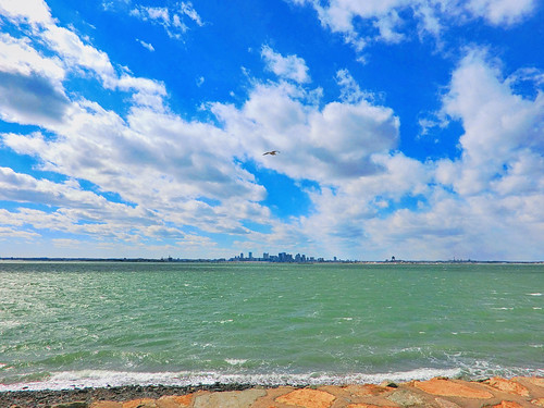
View of Boston skyline from Deer Island
brooksbos boston brooks bay zr1500 exzr1500 zr1300 casio evening geotagged light landscape lights moon fullmoon massachusetts newengland night reflections reflection skyline sky water beach carsonbeach southboston lunar supermoon
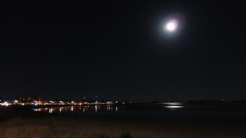
We're not so big after all!
Comet C2020 F3 NEOWISE and Venus
blue summer sky cloud water boston skyline buildings river boats downtown skyscrapers charlesriver sunny sailboats beaconhill
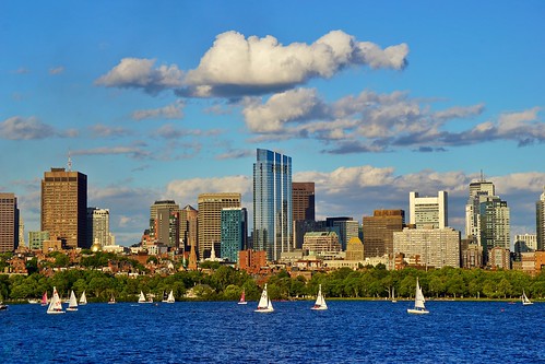
Downtown Boston Across The River
brooksbos boston brooks city geotagged hdr landscape light massachusetts newengland sky skyline summer water storm clouds nikon d5600 harbor bay
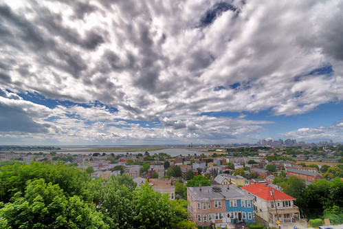
Yesterday's approaching storm.
winter sunset tower boston ma massachusetts newengland somerville somervillema pw prospecthill prospecthillpark prospecthilltower
Prospect Hill Tower
quincy quincyma
Across the Graveyard
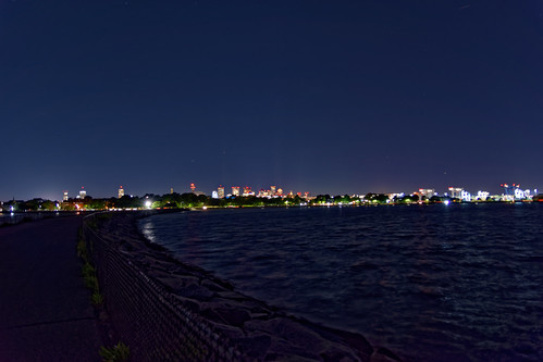
Boston skyline as viewed from Head Island, South Boston
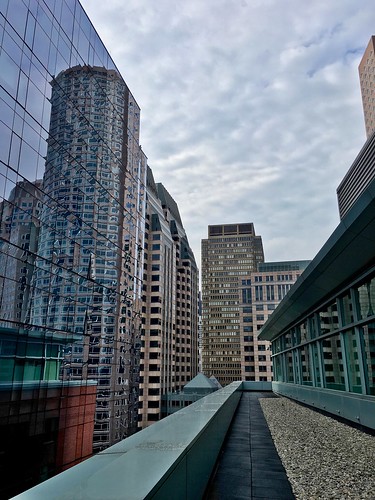
boston pw newengland viewdeck independencewharf leadinglines architecture massachusetts reflection
Independence Wharf
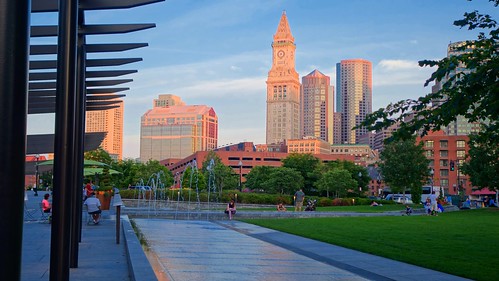
architecture afternoon brooksbos bostonma boston brooks cybershot city dscrx100m2 geotagged hdr massachusetts newengland nationalhistoriclandmark rx100m2 rx100 sony summer skyline urban historic history park
View of Custom Tower from Rose Kennedy Park
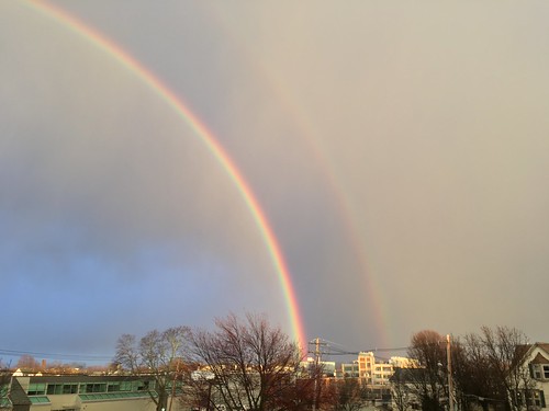
weather boston rainbow massachusetts newengland somerville pw
Rainbow Over Somerville
boston ma backbay christiansciencecenter baretrees path blackandwhite bnw bw monochrome monochromatic olympuspenf penf trees
Walk Amongst the Trees
2018 large bench bluehillsreservation sky 0418 monday milton massachusetts unitedstates us
Hilltop Bench
longexposure boston reflections river ma mit massachusetts charlesriver charles bluehour massachusettsinstituteoftechnology
Charles River Blue
geotagged boston brooks brooksbos history fort southboston castleisland clouds sky weather water historic americanrevolution independence moto motog4 android
Fort Independence, South Boston
usa boston massachusetts explore canonefs1022mmf3545usm canoneos60 andreapucci
Passeggiata serale / Evening walk (Explore!!!) (Boston, Massachusetts, USA)
sunset sky color colour water boston reflections river geotagged evening massachusetts charlesriver newengland panasonic backbay brooks dmczs5 xz1 brooksbos
Sunset on the Charles River
geotagged brooks brooksbos quincy solstice cross celtic celticcross sony rx100 rx100ii memorial quarries quarry quincyquarries rip
Winter Solstice at Quincy Quarries
longexposure blue reflection water beautiful boston mobile clouds reflections ma pond massachusetts newengland calm slowshutter pw woburn iphone hornpond iphoneography slowshuttercam slowshuttercamapp iphone6s
Long exposure on iPhone
cambridge sunset sky weather boston clouds massachusetts charlesriver newengland pw
Boston at Sunset
brooks brooksbos quincy quarry quarries granite cliff autumn foliage fall senior massachusetts newengland elderly hiking backpacking lg smartphone grafitti colorful precipice rocks
Selfie at Quincy Quarries
trees winter reflection water massachusetts newengland calm pw woburn hornpond
Horn Pond Reflection
pw reflection reflections esplanade water boston brownstones massachusetts symmetry backbay architecture newengland lagoon
Boston Back Bay Brownstones Reflections
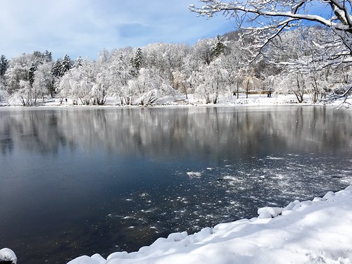
trees winter snow water boston massachusetts newengland jamaicaplain pw jamaicapond
Snowy trees at Jamaica Pond
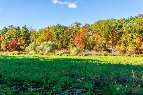
woburn hornpond autumn pw seasonal foliage massachusetts seasons trees boston fall newengland pond marsh lagoon drought
MA Drought
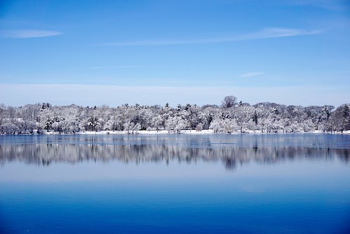
blue trees winter white snow reflection ice nature water boston landscape frozen pond massachusetts newengland minimal clean clear simple minimalist pw waterscape emeraldnecklace jamaicapond winterstormlexi
Winter Pond
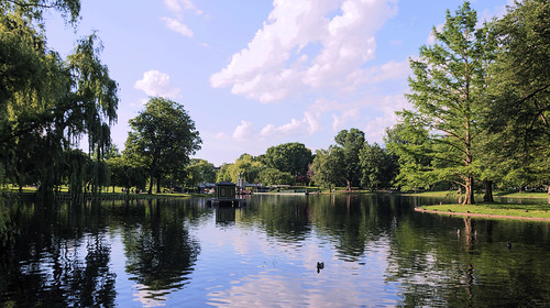
public boston garden ma massachusetts publicgarden
Pleasant Time At The Garden
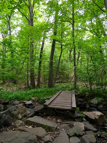
park bridge green nature boston hiking massachusetts brook reservation medford middlesexfells
Hiking in the Middlesex Fells
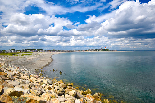
brooksbos boston brooks geotagged landscape massachusetts newengland reflections summer sky water nikon d5600 beach sand rocky bay
Winthrop Head as viewed from Deer Island
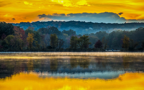
new autumn sunset england fall pond massachusetts foliage horn woburn
Horn Pond Sunset
trees water boston reflections river massachusetts newengland backbay pw
IMG_0027.JPG