Elevation of 32 Mcilwee Ln, Staunton, VA, USA
Location: United States > Virginia > Staunton >
Longitude: -79.145665
Latitude: 38.033822
Elevation: 510m / 1673feet
Barometric Pressure: 95KPa
Elevation Map:
Satellite Map:
Related Photos:

Reaching for the Heavens

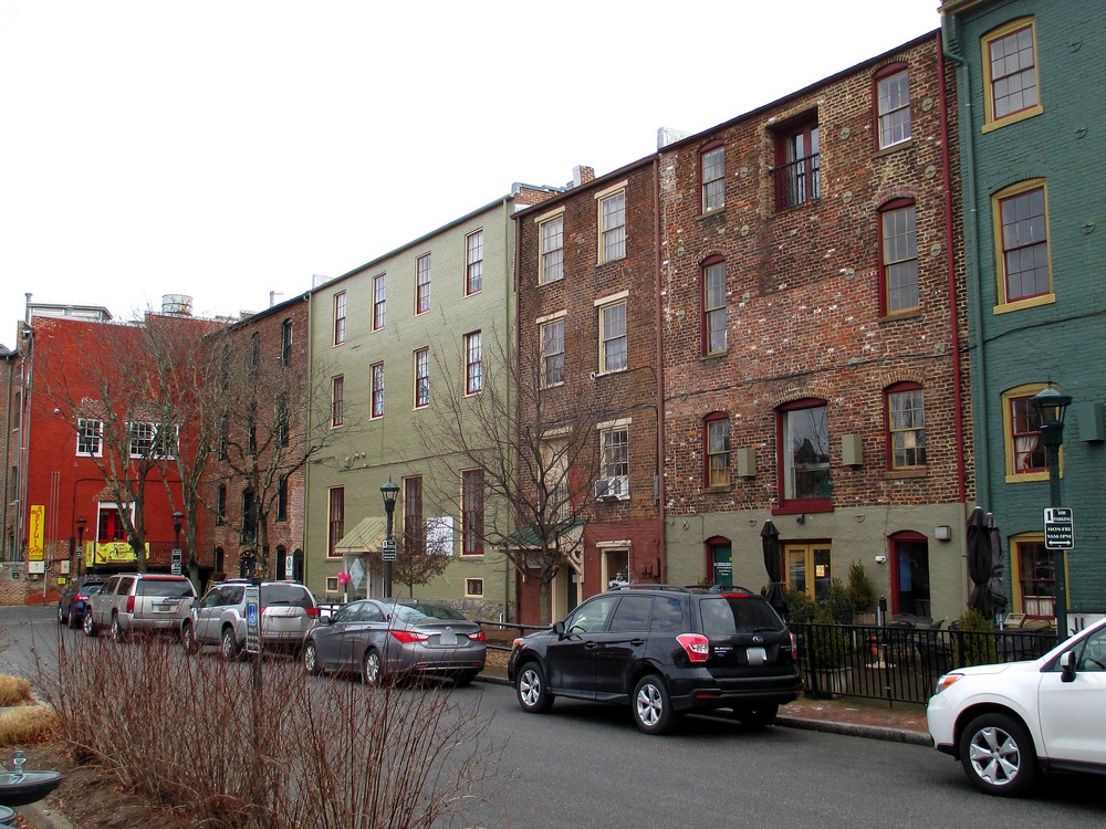
Augusta Street, Staunton

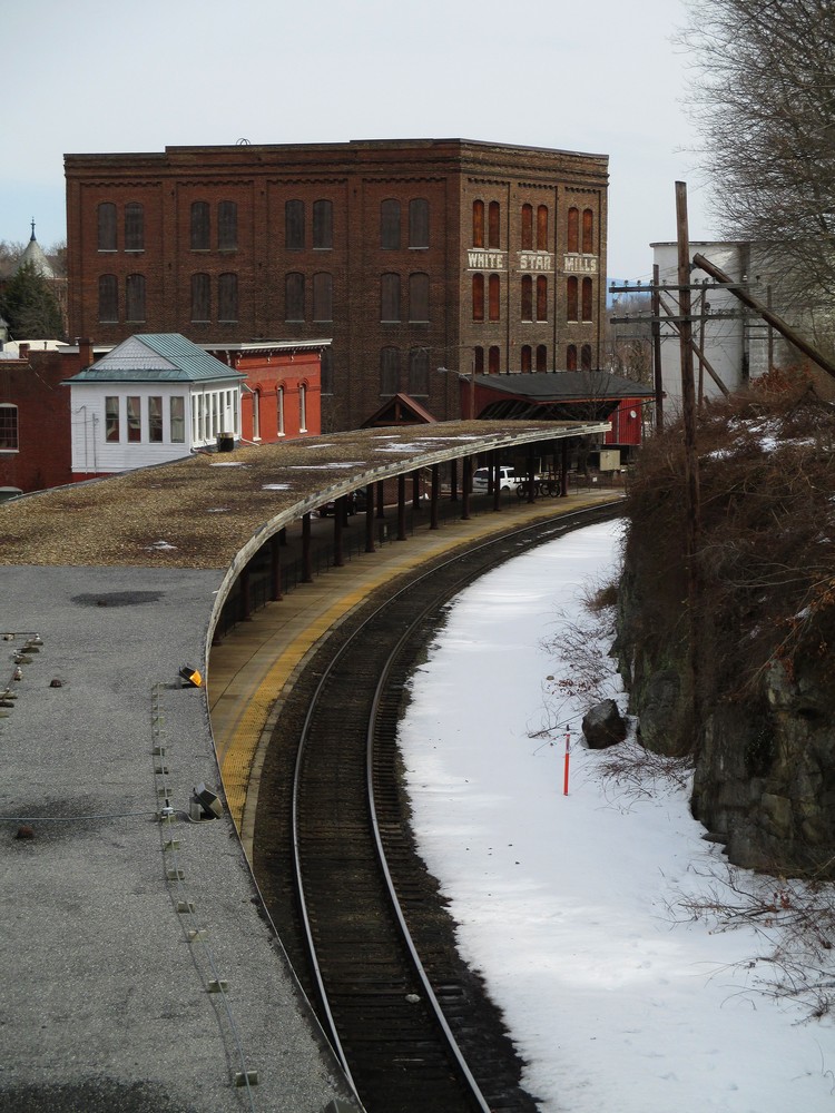
White Star Mills

A Blue Ridge Tree Farm in Virginia Springtime

Kitchen Warmth
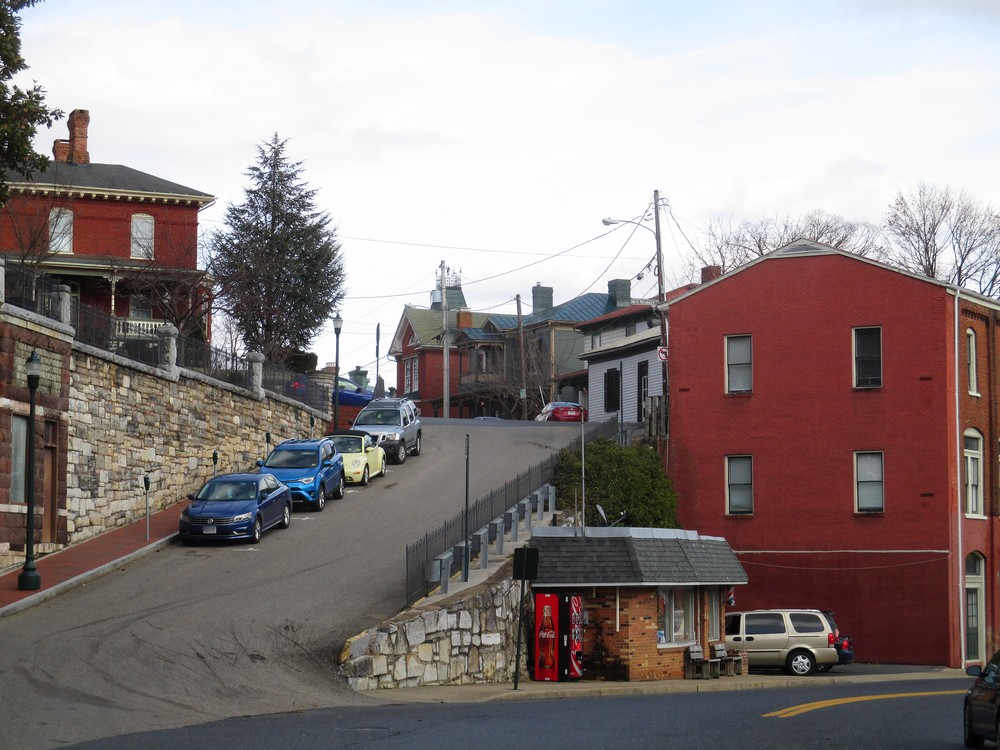
Uphill View

Heading Downtown

Middlebrook Rd X

Station Platform and Bridge

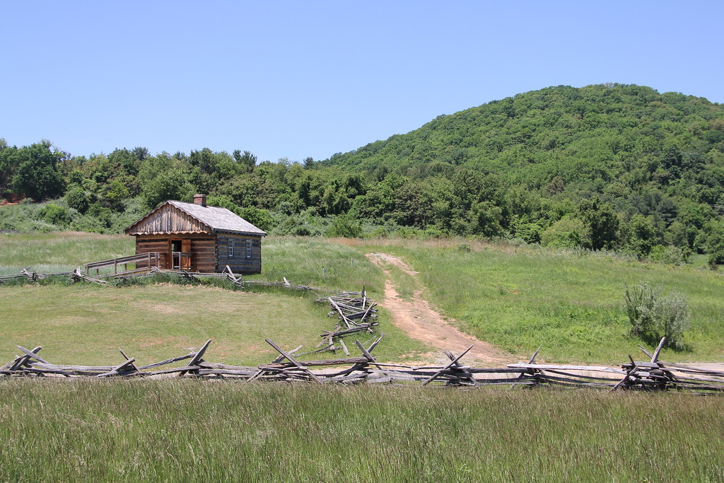
Fenced In Valley

Downtown View, Staunton, VA

today is a winding road

Fire Escape
Businesses in Staunton's Wharf District

Blackfriars Banners

Trinity Episcopal Church

Downtown Staunton from Sears Hill

Lagoon Nebula M8 & Trifid Nebula M20 setting 2012

Moon Spica & Saturn
Late Winter Platform View

Mountain View from McCormick Farm

1600 English Farm

Wades Mill Apple Butter Festival

Spring Has Arrived

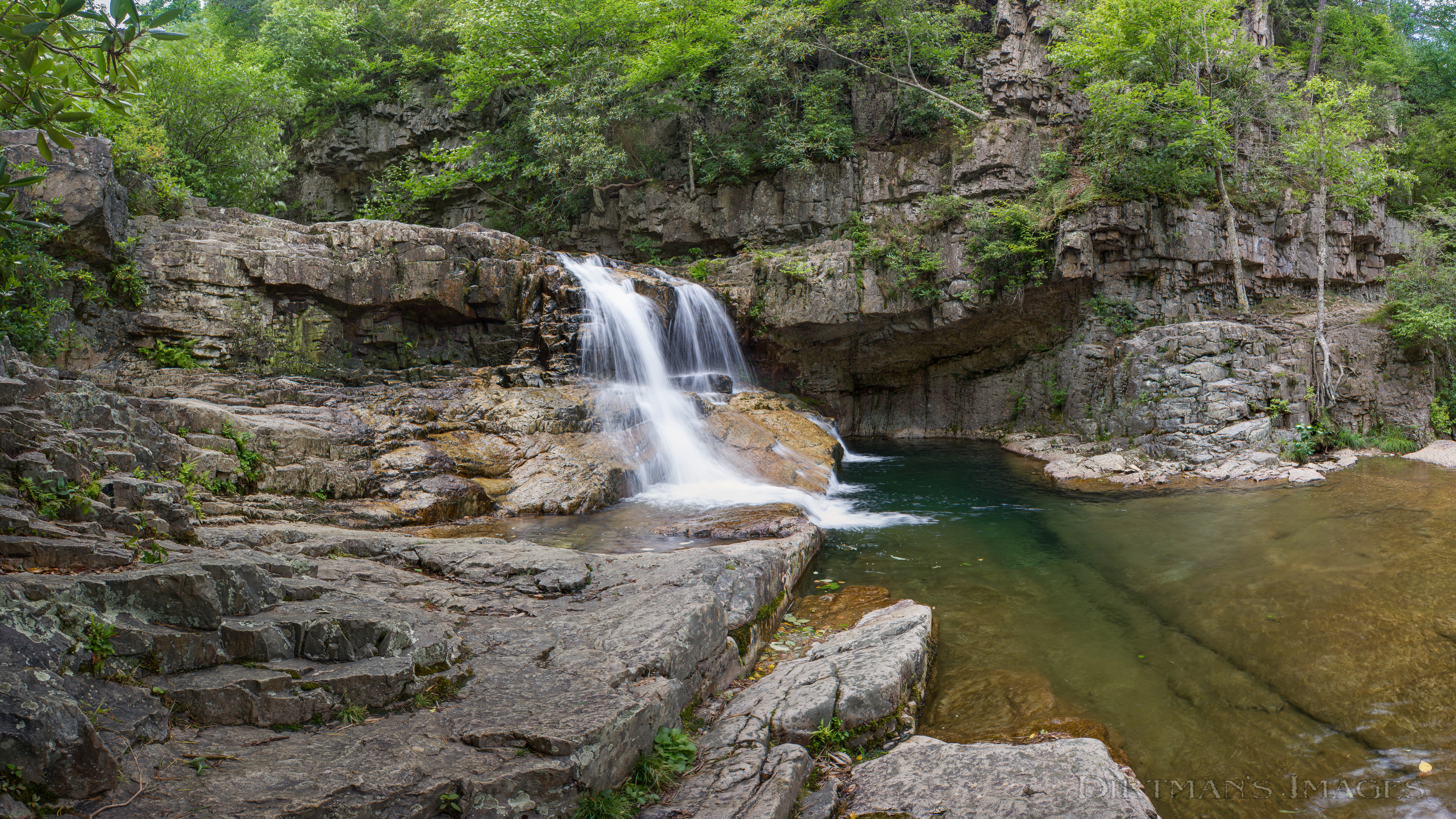
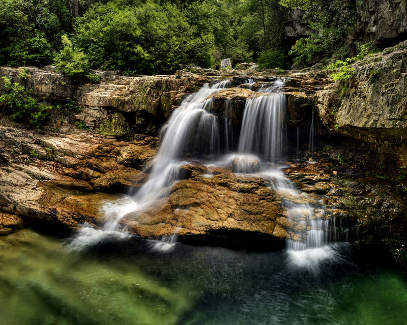
St Marys Waterfall

The Cows wouldn't come Home
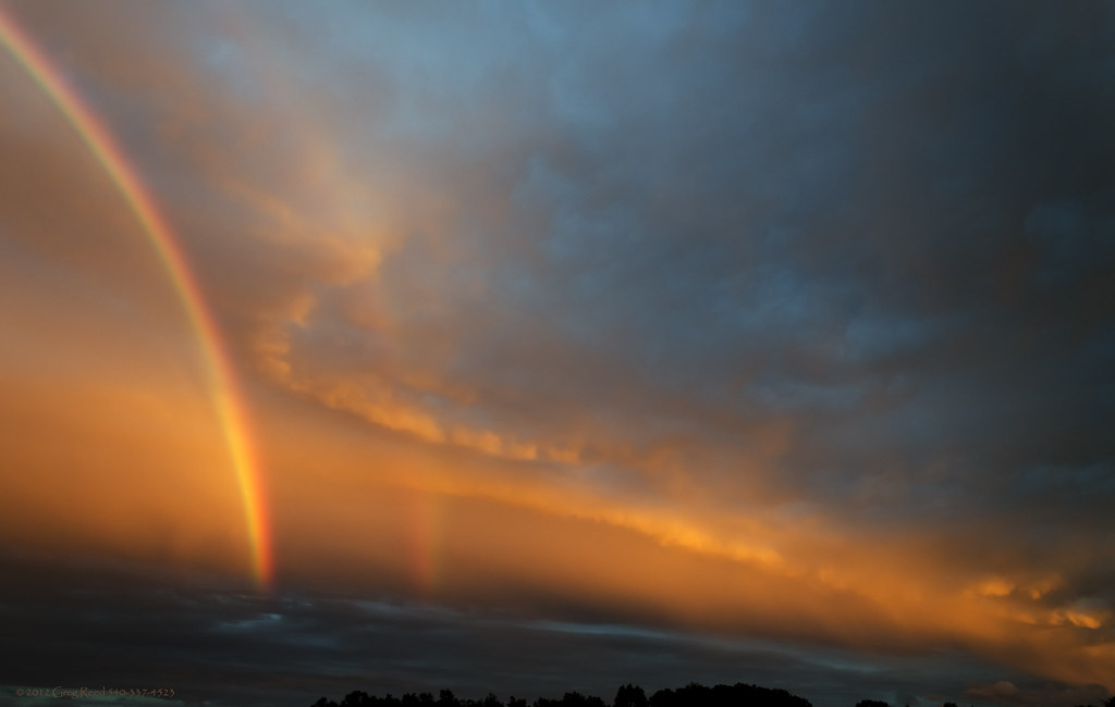
Ethereal Clouds & Rainbow 2012 SEPT 08
Frontier Culture Museum - Early American Schoolhouse

St Marys Waterfall-Explore

Wisteria in Silhouette

Frontier Culture Museum - Woodland Trail

Blue Ridge Fall

Glenwood Falls

The Field & Fence 2012
Noire Lune Bleu

Shenandoah Valley and the Blue Ridge Mountains with Round Hill from White Hill Rd in Snow HDR
Backyard & Moon 2012
Saint Mary's River Falls (Upper) 2014

Spring in Virginia

In the Valley of Virginia
Don't stop
Topographic Map of 32 Mcilwee Ln, Staunton, VA, USA
Find elevation by address:

Places near 32 Mcilwee Ln, Staunton, VA, USA:
32 Mcilwee Ln
32 Mcilwee Ln
26 Mcilwee Ln
26 Mcilwee Ln
32 Mcilwee Ln
32 Mcilwee Ln
32 Mcilwee Ln
54 Mcilwee Ln
54 Mcilwee Ln
54 Mcilwee Ln
32 Mcilwee Ln
54 Mcilwee Ln
82 Hull Hills Ln
94 Hull Hills Ln
Riverheads
3671 Old Greenville Rd
343 Bethel Green Rd
Greenville
80 Main St, Greenville, VA, USA
328 Mcpheeters Rd
Recent Searches:
- Elevation of Corso Fratelli Cairoli, 35, Macerata MC, Italy
- Elevation of Tallevast Rd, Sarasota, FL, USA
- Elevation of 4th St E, Sonoma, CA, USA
- Elevation of Black Hollow Rd, Pennsdale, PA, USA
- Elevation of Oakland Ave, Williamsport, PA, USA
- Elevation of Pedrógão Grande, Portugal
- Elevation of Klee Dr, Martinsburg, WV, USA
- Elevation of Via Roma, Pieranica CR, Italy
- Elevation of Tavkvetili Mountain, Georgia
- Elevation of Hartfords Bluff Cir, Mt Pleasant, SC, USA