Elevation of 32 Cedar Hill Ln, Weaverville, NC, USA
Location: United States > North Carolina > Buncombe County > Reems Creek > Weaverville >
Longitude: -82.53618
Latitude: 35.772471
Elevation: -10000m / -32808feet
Barometric Pressure: 295KPa
Elevation Map:
Satellite Map:
Related Photos:

the road unknown

East of Dillingham

in a fog (Explore)
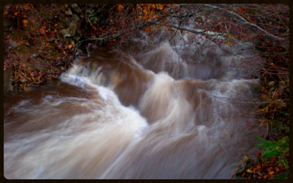
After the Storm

So. This isn't a bad view for my back yard. #notcomplaining #waittillwinter

View of Lane Pinnacle (far left) from MP 372.1 on the Blue Ridge Parkway - Asheville, NC

7-Second Video: Corner Rock Creek, Pisgah National Forest

@ Lake View Park

Red Barn with Tree

Carter-Swain House

Over the Blacks Range

Elk Mountain's view to Beaverdam + #Asheville

Pleiades Star Cluster
Airplane flying across M33 Galaxy

blue ridge valley

HDR Rainbow

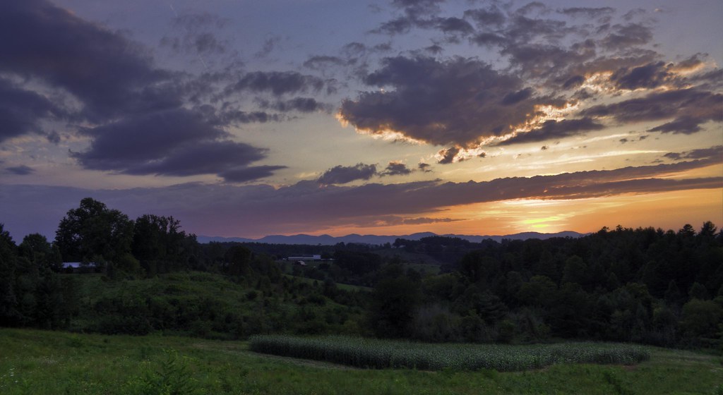
Beaver Lake Mountain Sunset

You Are the Sunflower of My Life - Apologies to Stevie Wonder! View large. Explore November 3, 2012.
Reflections at Beaver Lake

Google Maps Street View Camera Car
Mountain School

foggy ride

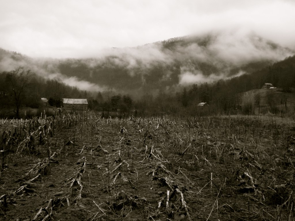
Nature and Man
Flush at Walker Creek, 2009
2012 Waterfalls

Blue Ridge Parkway

Winter's Light
All's Well

Morning on Beaver Lake
Fog, Grey, Mist--

Square Framed

E8B_4119_PE-Lite_TZ-Hdr-HpopG-C32-Ro

Haw Branch Barns
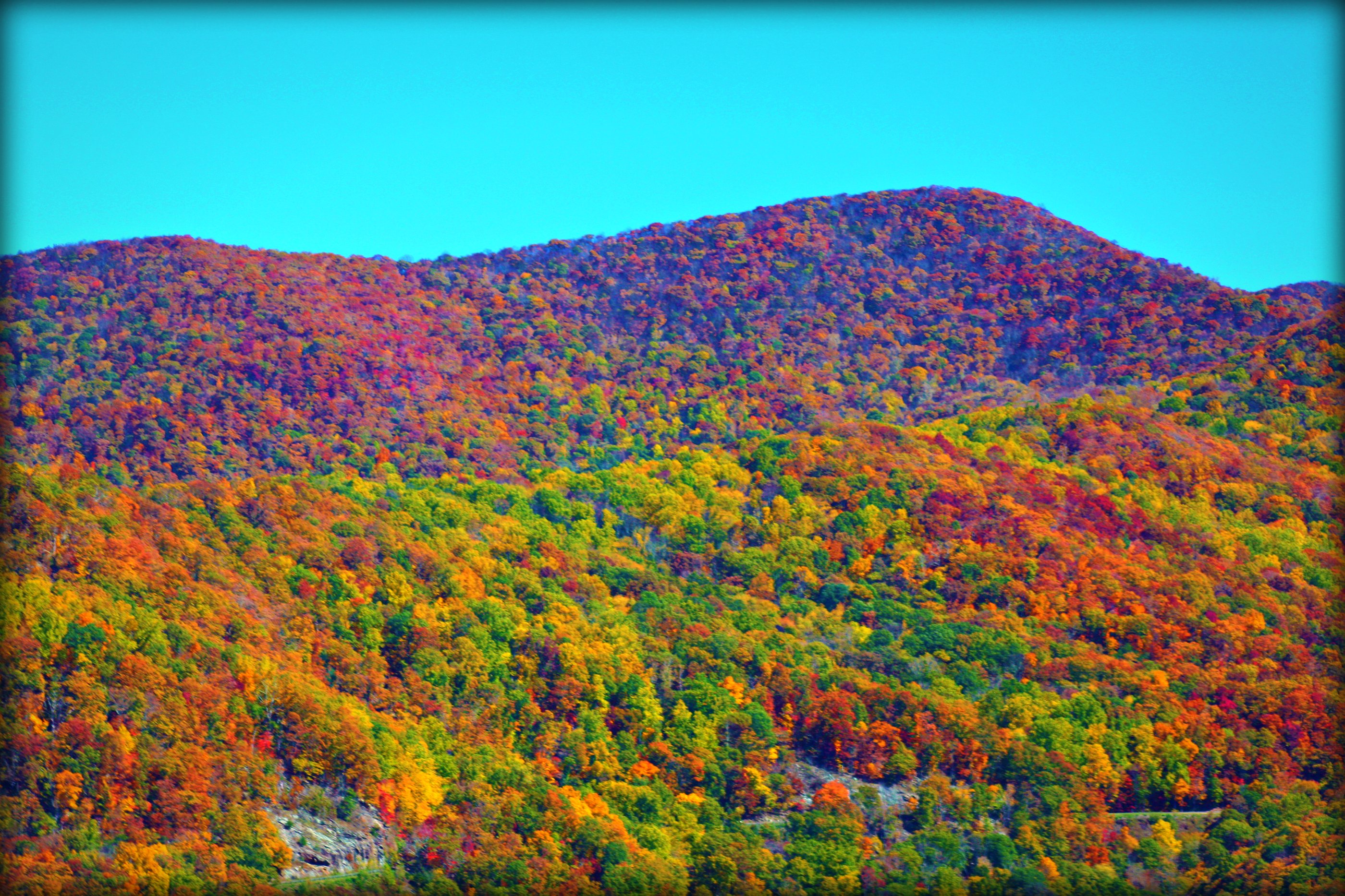
Blue Ridge Mountains

Blue Ridge Mountains

Blue Ridge Parkway

Awesome clouds from Tuesday. #avlout

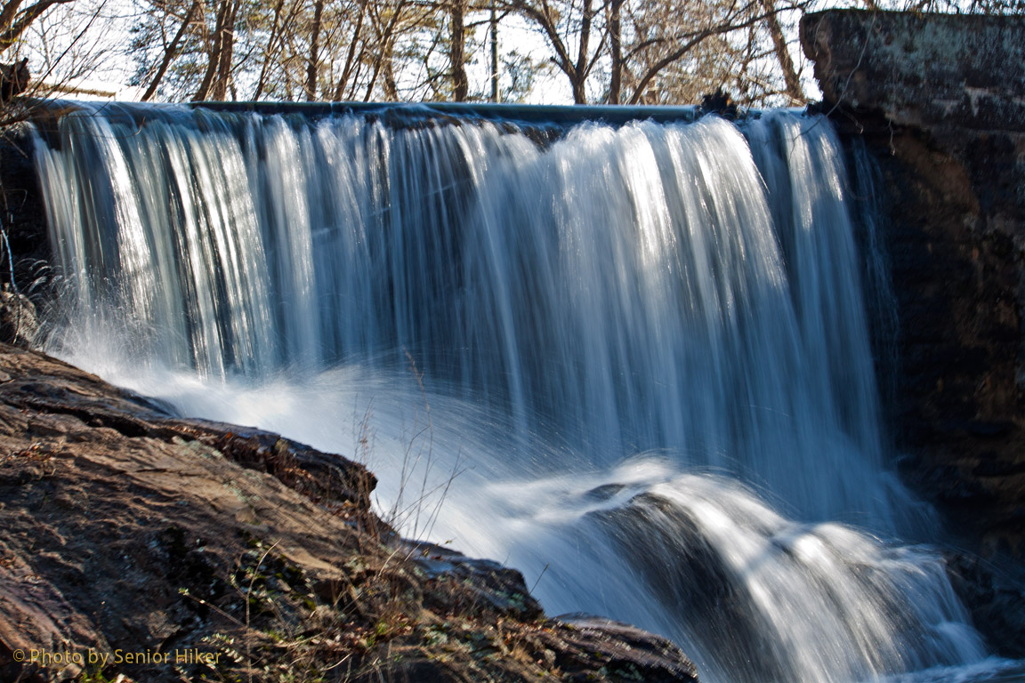
Douglas Falls
Jupiter Sunset

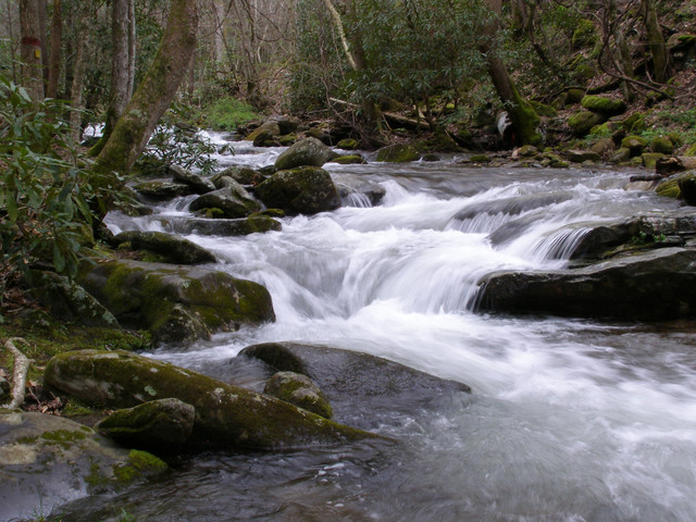
Cascade: Corner Rock Creek
Topographic Map of 32 Cedar Hill Ln, Weaverville, NC, USA
Find elevation by address:

Places near 32 Cedar Hill Ln, Weaverville, NC, USA:
50 Elkins Branch Rd
34 Chambers Dr
600 Old Mars Hill Hwy
69 Moss Rd
Old Mars Hill Highway
20 Mcdaris Rd
901 Old Mars Hill Hwy
901 Old Mars Hill Hwy
20 Gentry Branch Rd
50 Gentry Branch Rd
51 Sun Dog Dr
26 Lancaster Ln
32 Lancaster Ln
Flat Creek
16 Southwood Dr
Wilderness Drive
72 Sams Rd
49 England Woods Dr
26 England Woods Dr
205 Bartlett Rd
Recent Searches:
- Elevation of Corso Fratelli Cairoli, 35, Macerata MC, Italy
- Elevation of Tallevast Rd, Sarasota, FL, USA
- Elevation of 4th St E, Sonoma, CA, USA
- Elevation of Black Hollow Rd, Pennsdale, PA, USA
- Elevation of Oakland Ave, Williamsport, PA, USA
- Elevation of Pedrógão Grande, Portugal
- Elevation of Klee Dr, Martinsburg, WV, USA
- Elevation of Via Roma, Pieranica CR, Italy
- Elevation of Tavkvetili Mountain, Georgia
- Elevation of Hartfords Bluff Cir, Mt Pleasant, SC, USA