Elevation of 2 The St, Woodbridge IP13 7RL, UK
Location: United Kingdom > Suffolk > Earl Soham >
Longitude: 1.2629992
Latitude: 52.2206575
Elevation: 29m / 95feet
Barometric Pressure: 101KPa
Elevation Map:
Satellite Map:
Related Photos:

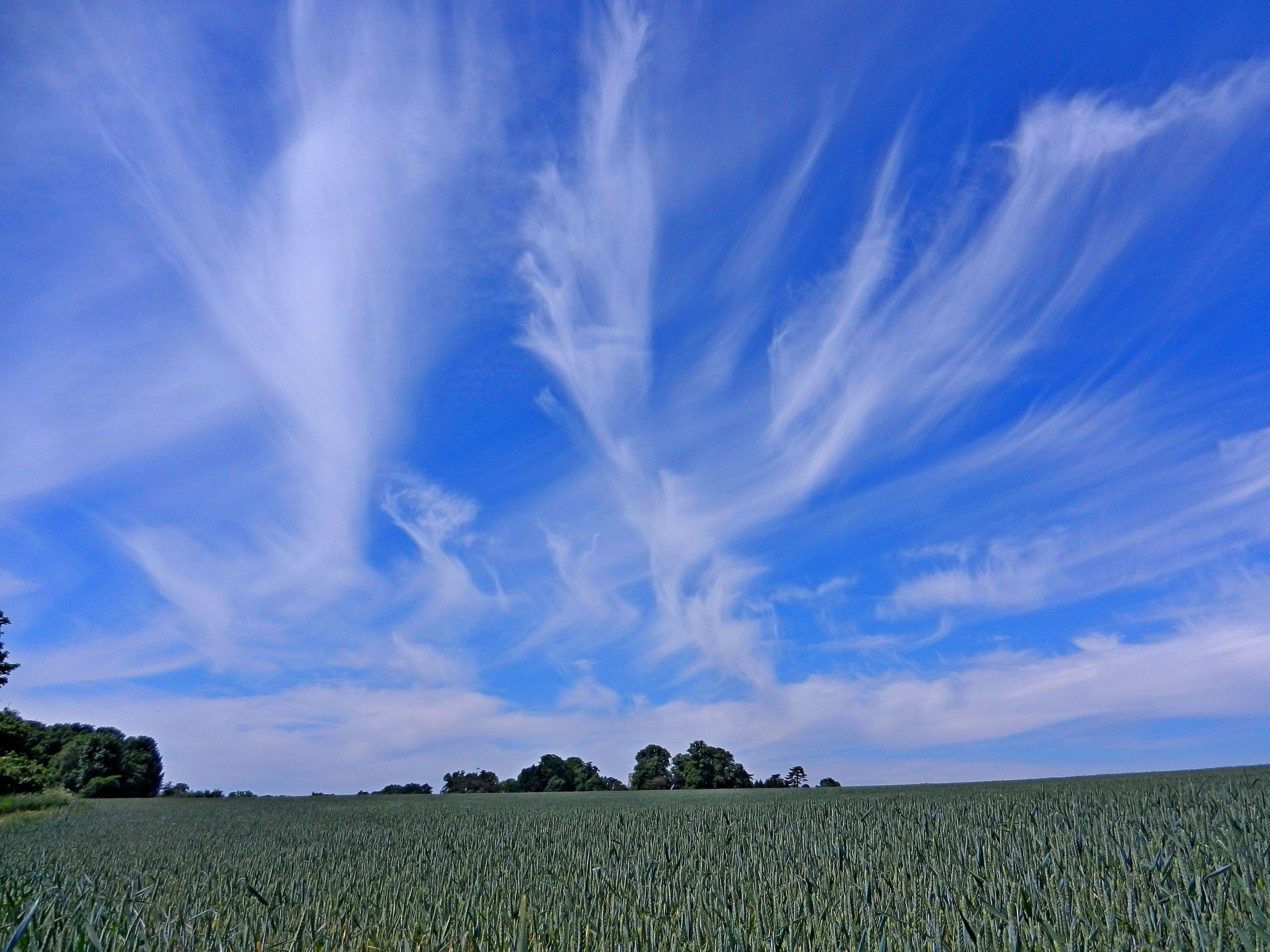
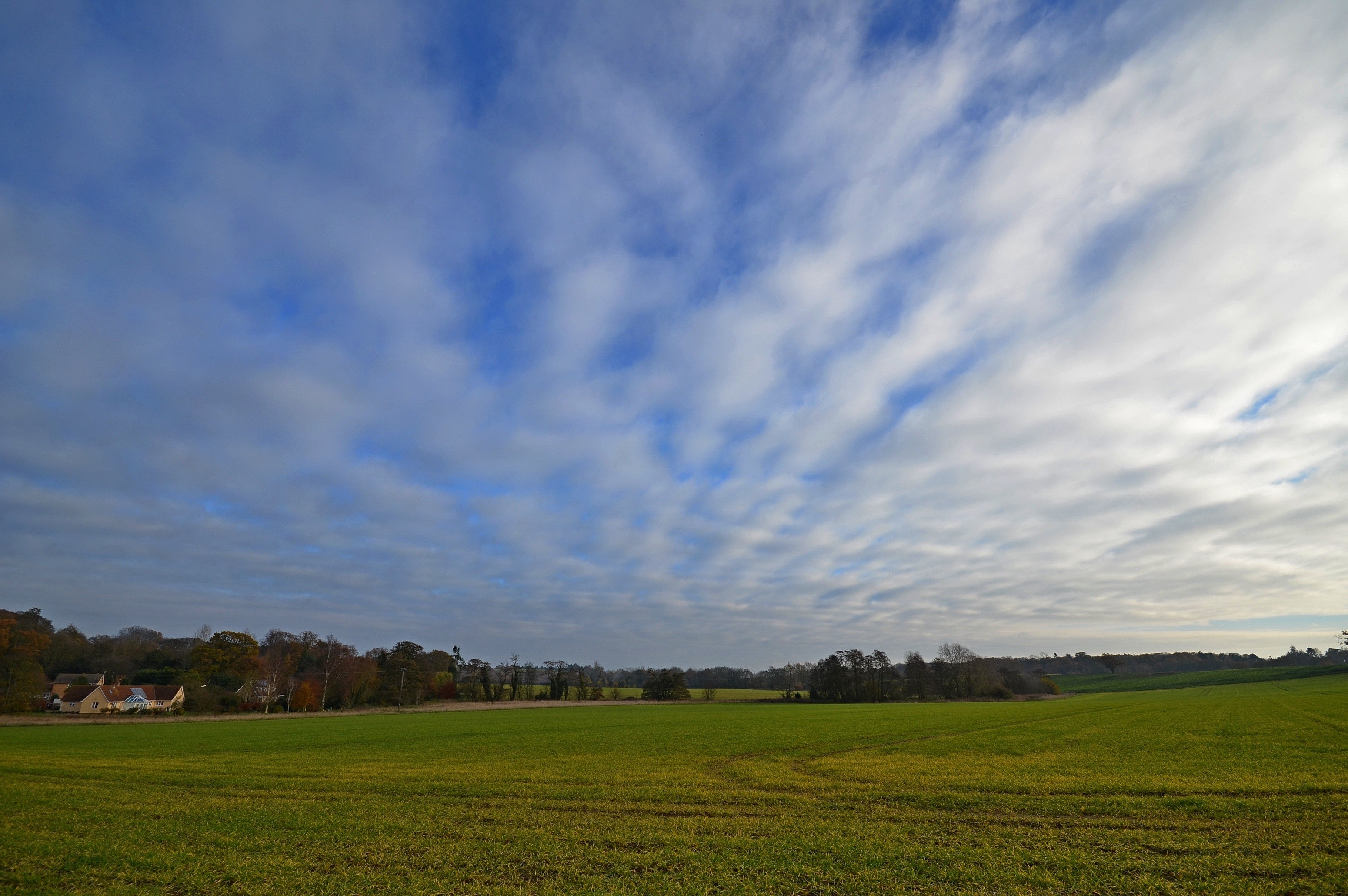
Misty Sunset

Tractor on the Snow

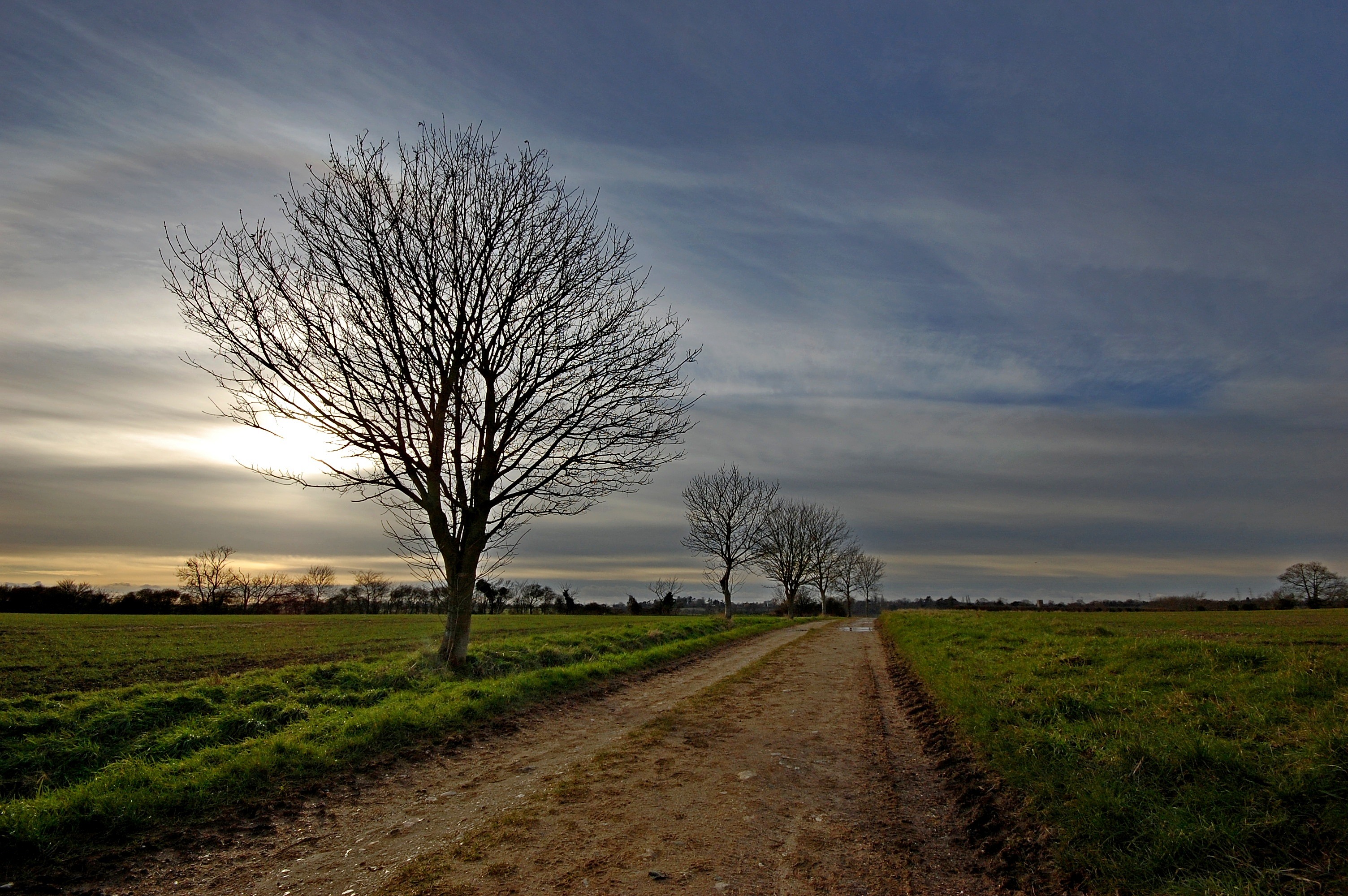
Lonely Tree

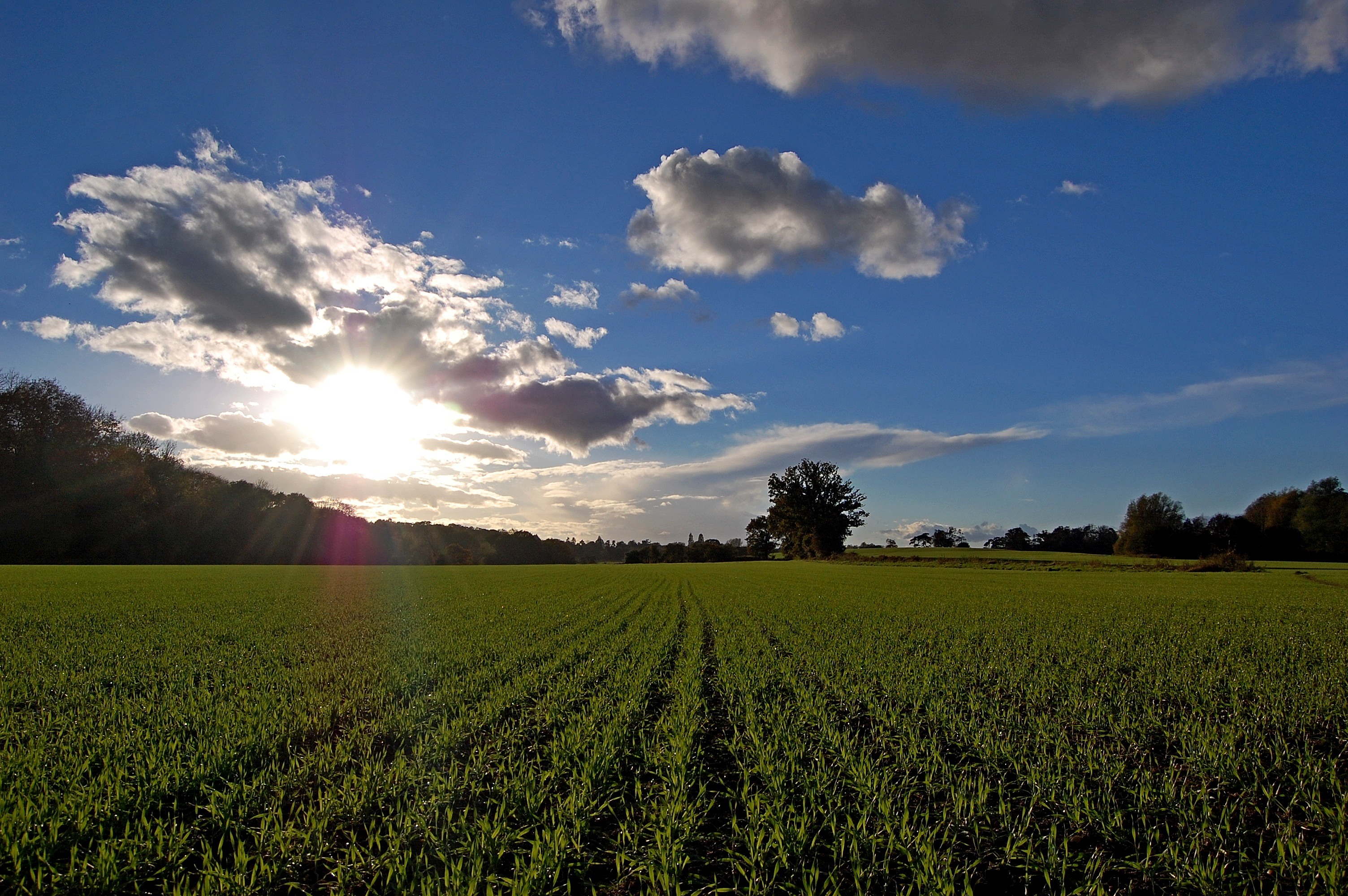
Spring Landscape

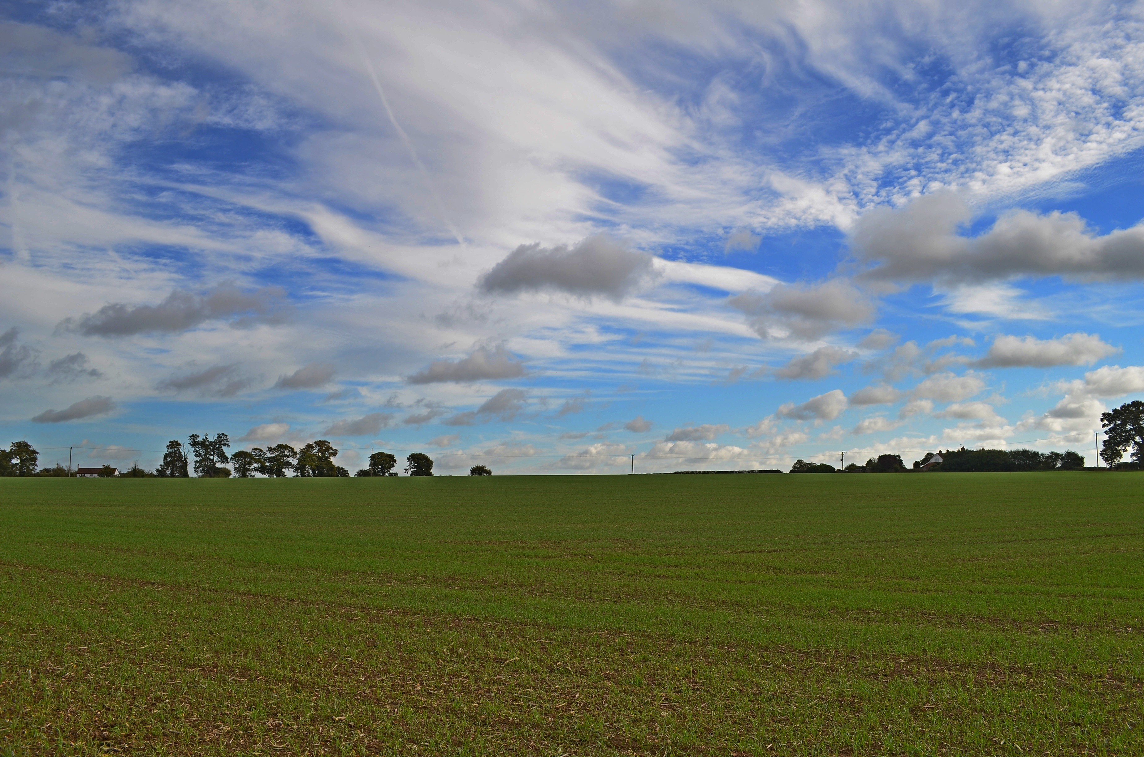
Autumn Landscape

Autumn Landscape
Autumn Landscape
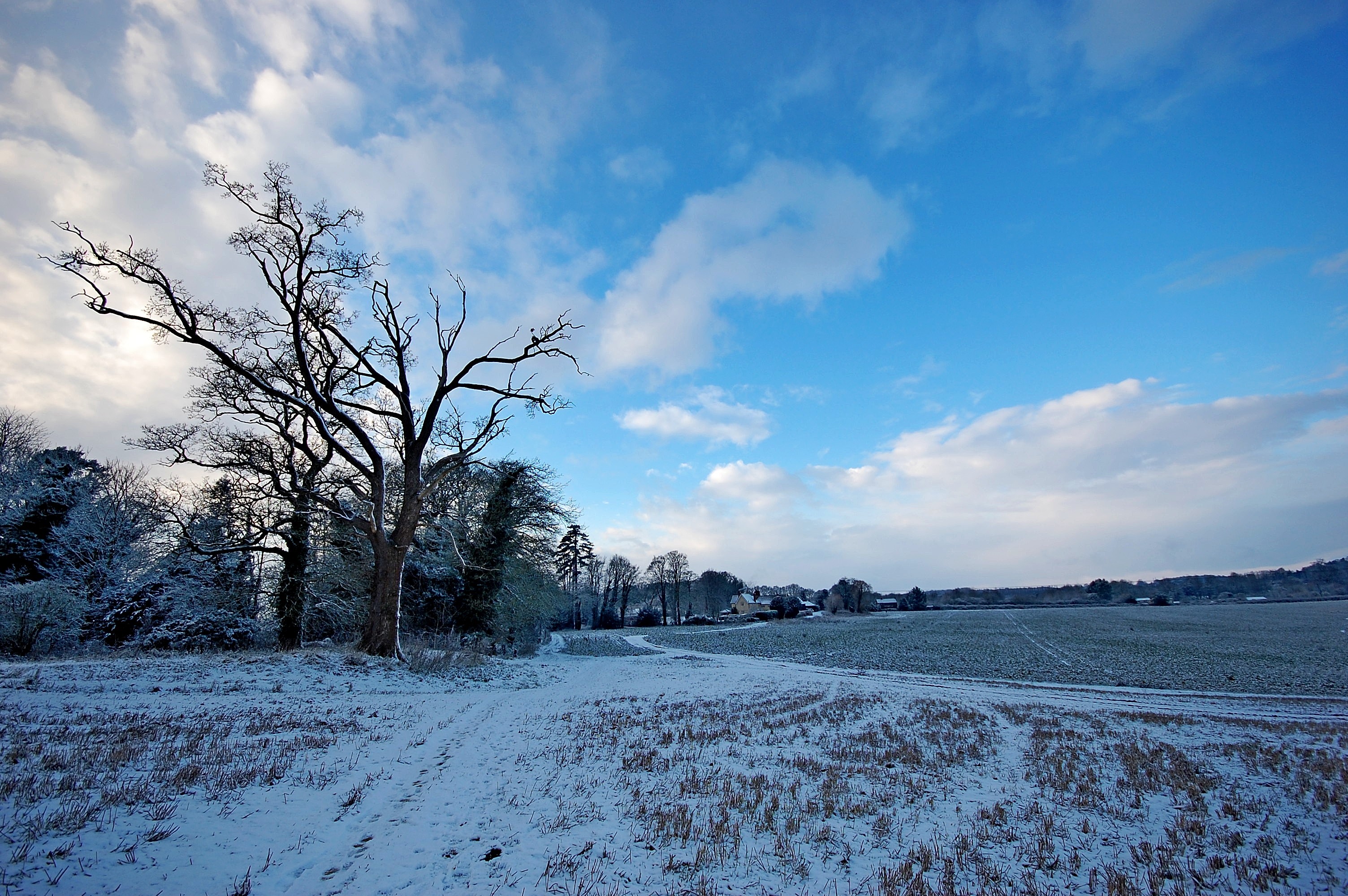
Snowy Landscape

Lonely Tree

Winter Sunset

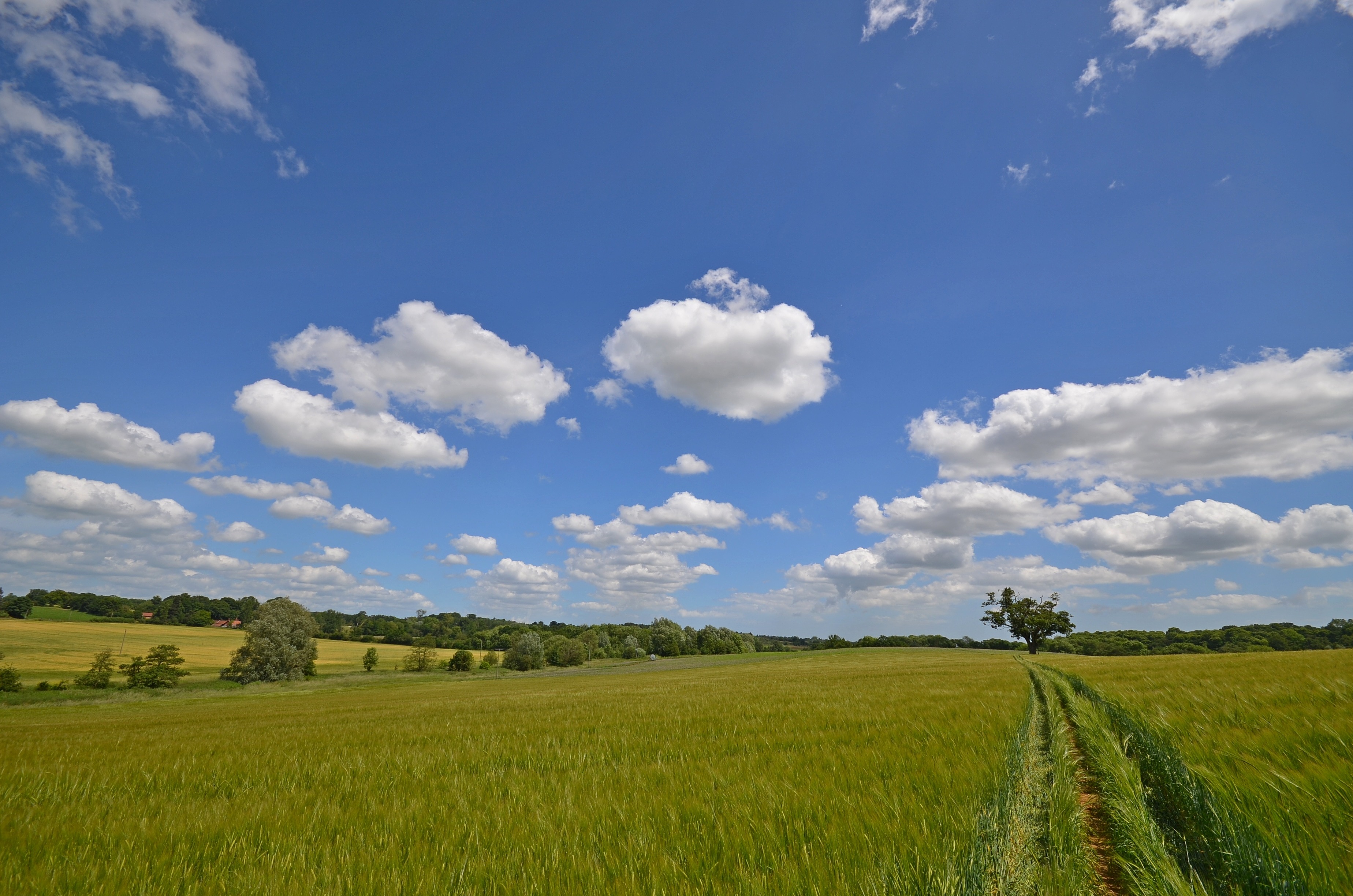
Summer Landscape
Tuddenham Landscape
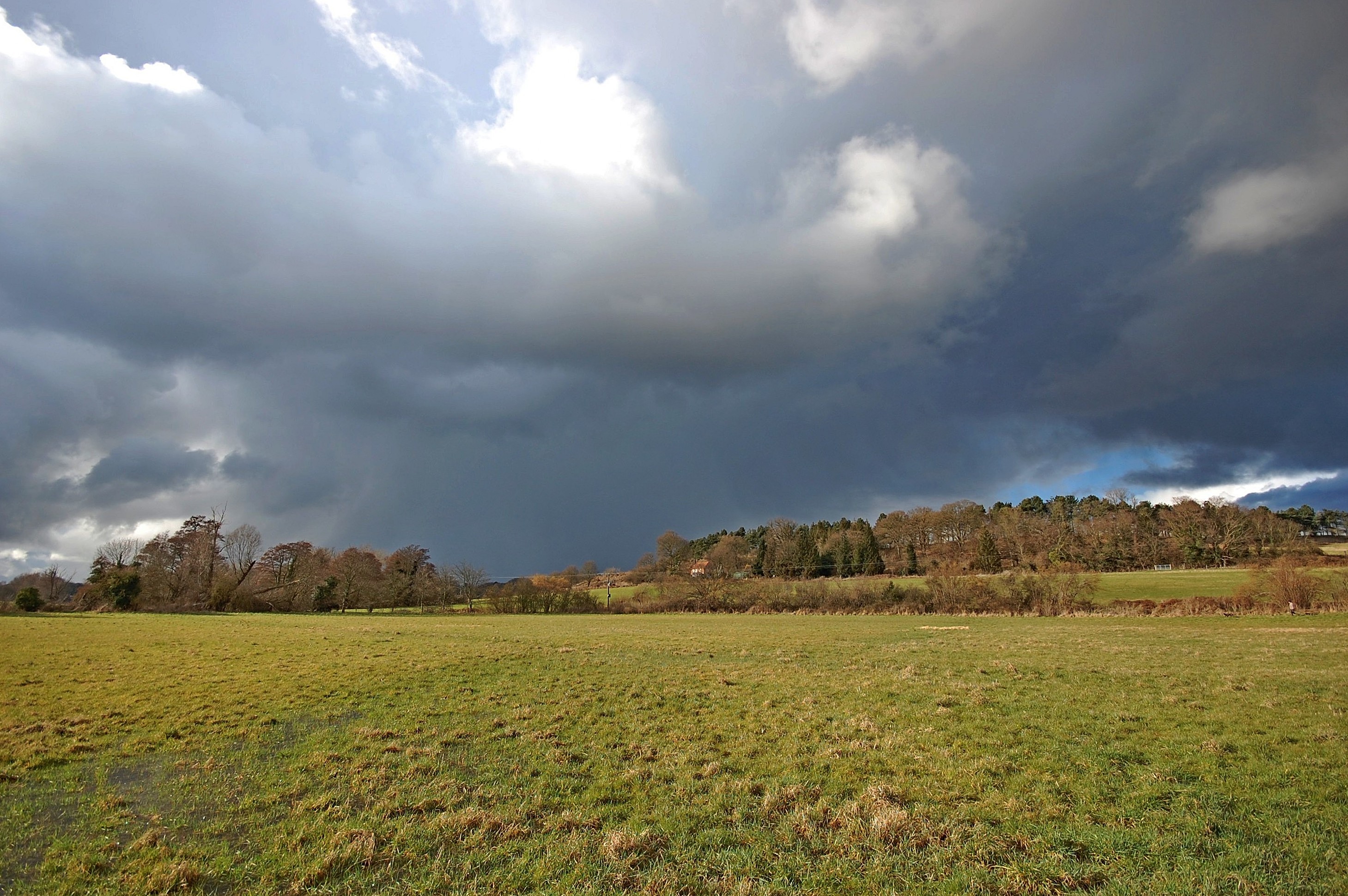
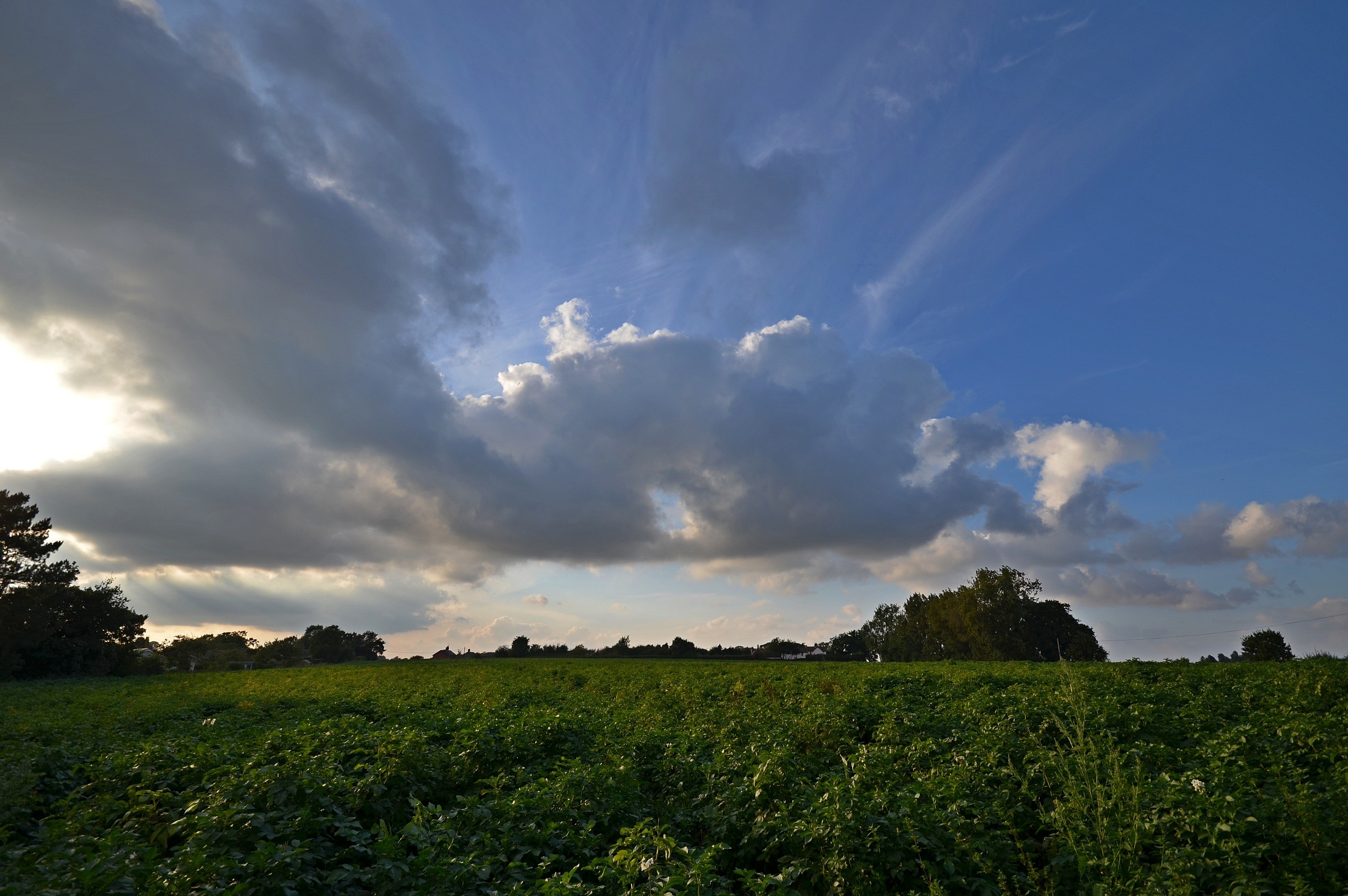
Dark Clouds of Suffolk

Snowy Landscape

Winter Landscape
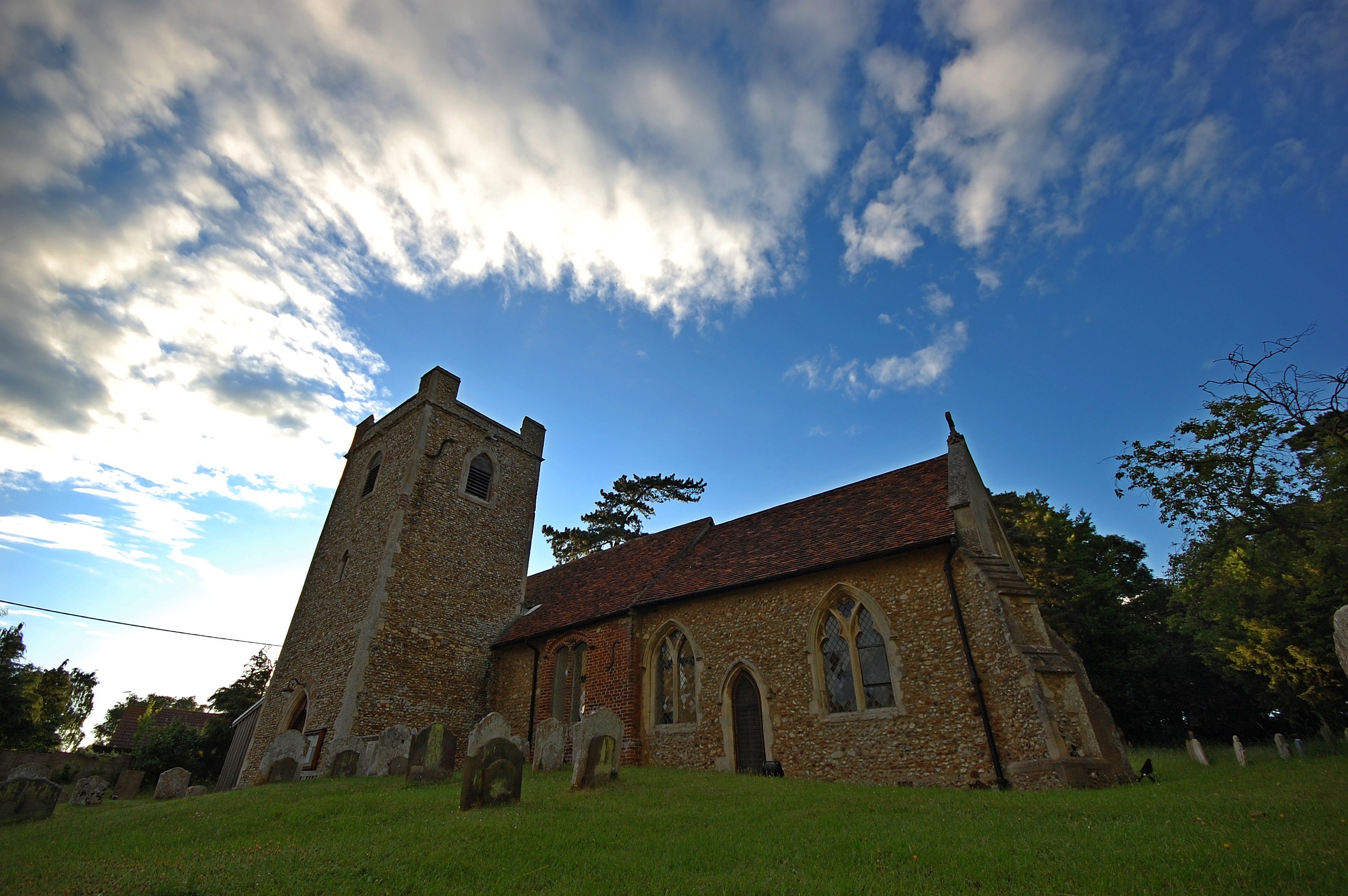
All Saint's Church, Little Bealings
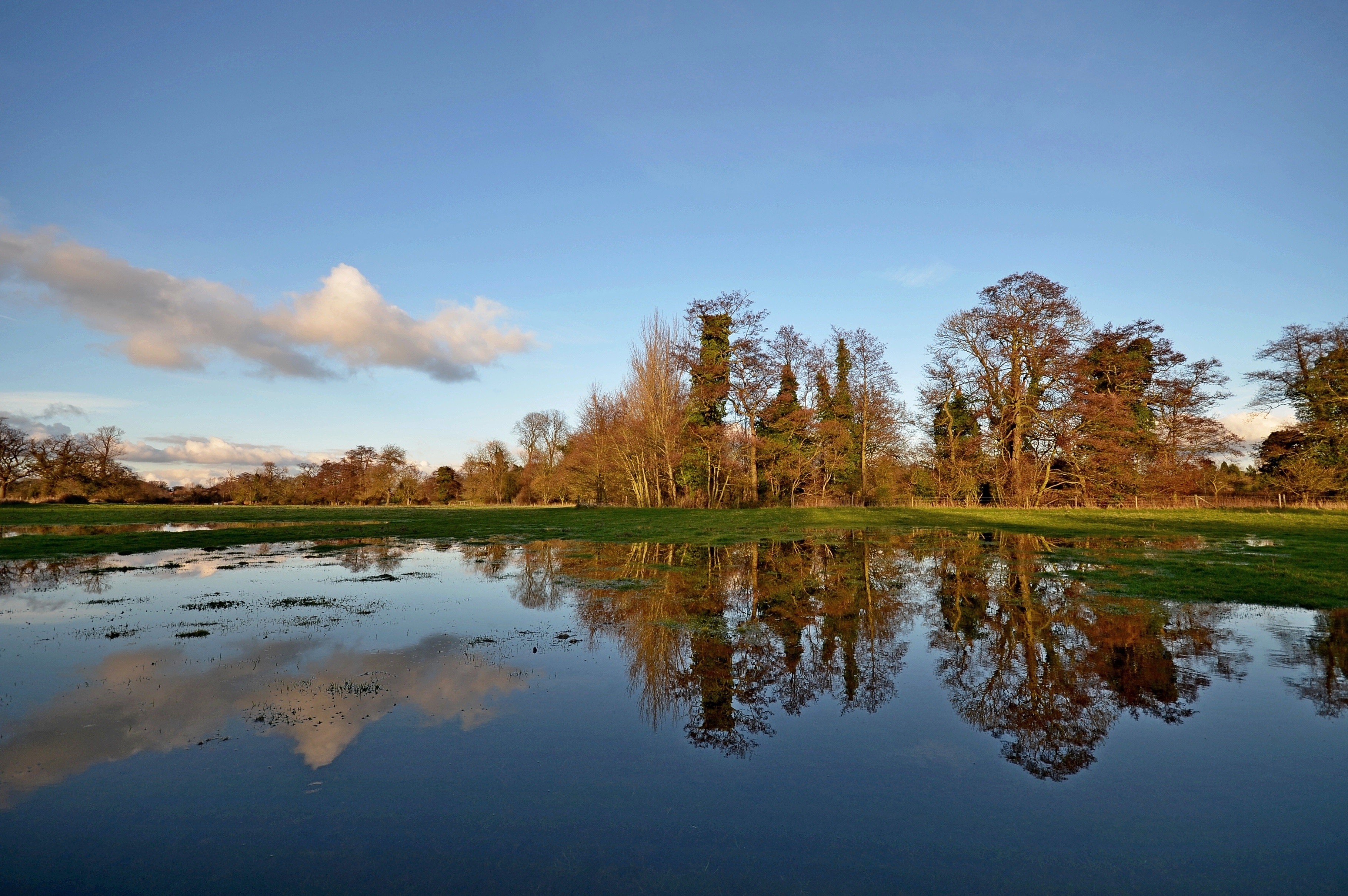
Flooded Landscape
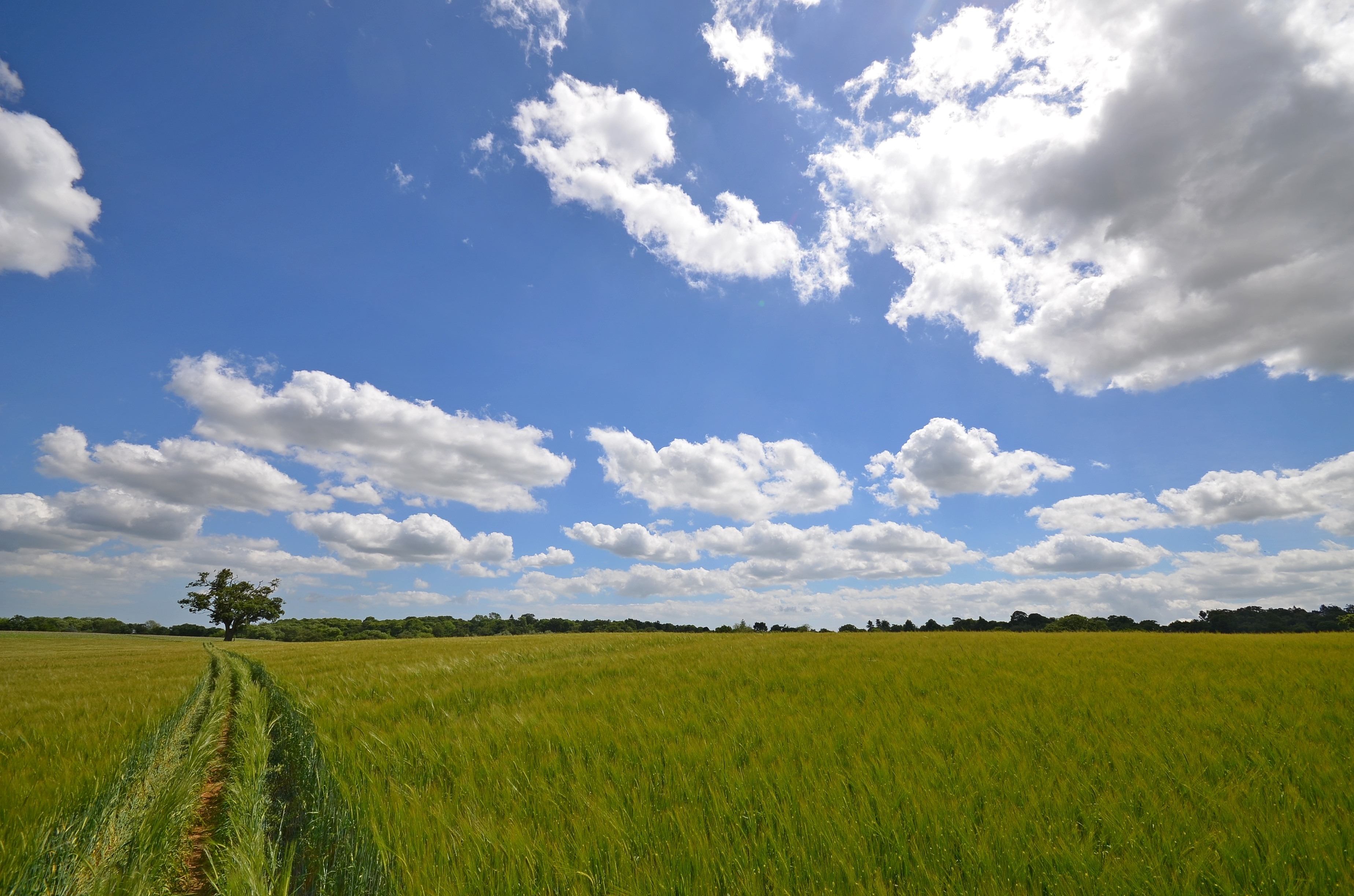
Summer Landscape

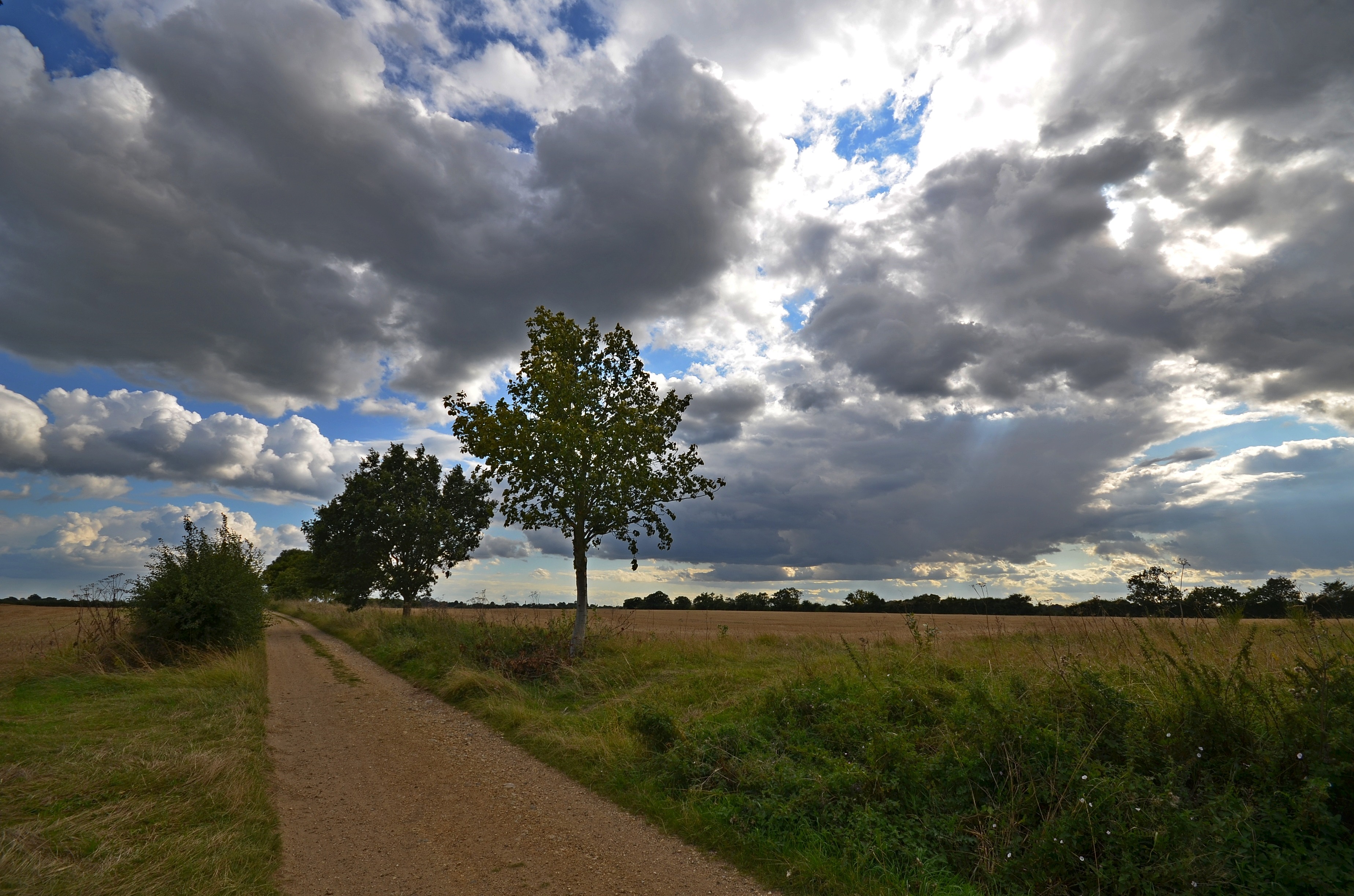
Suffolk Landscape
Autumn Sunset

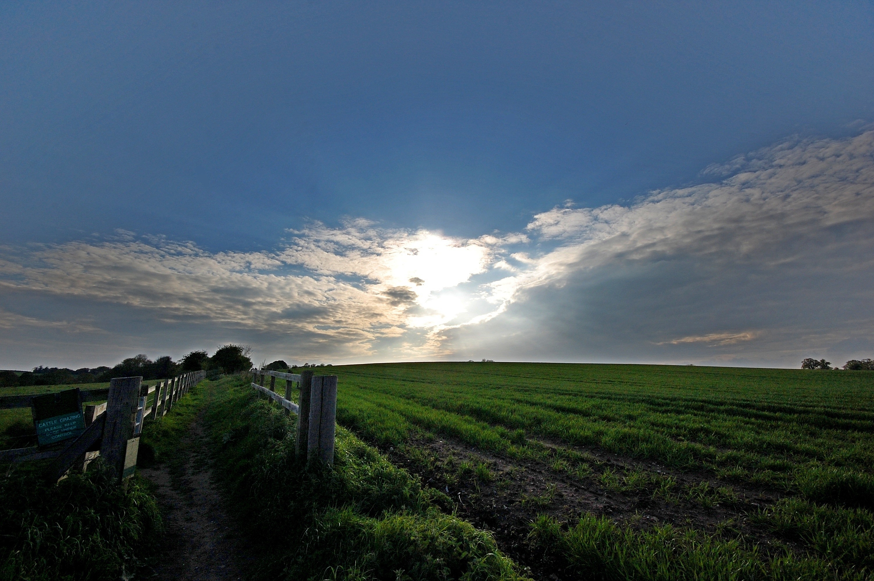
Winter Sunrise

Sunset Wheat

Sackboy's Conker

The Dark Clouds of Tuddenham

Sunset Landscape
Super Sky, Suffolk

Rape Field Sunset
Tuddenham Landscape
Summer Landscape
Spring Landscape
Autumn/Winter Landscape
Autumn Landscape
Topographic Map of 2 The St, Woodbridge IP13 7RL, UK
Find elevation by address:

Places near 2 The St, Woodbridge IP13 7RL, UK:
Earl Soham
Ip21 5es
Ip13 9dz
Framlingham
Debenham
Ip14 6sh
Ip14 6rq
Ip21 5df
Thorndon
Fressingfield
Victoria Terrace
1 The Street, Thorndon, Eye IP23 7JN, UK
Eye
Wakelyns
Stoke Ash
Mid Suffolk District
Diss
Diss Mere
Fair Green
Recent Searches:
- Elevation of Corso Fratelli Cairoli, 35, Macerata MC, Italy
- Elevation of Tallevast Rd, Sarasota, FL, USA
- Elevation of 4th St E, Sonoma, CA, USA
- Elevation of Black Hollow Rd, Pennsdale, PA, USA
- Elevation of Oakland Ave, Williamsport, PA, USA
- Elevation of Pedrógão Grande, Portugal
- Elevation of Klee Dr, Martinsburg, WV, USA
- Elevation of Via Roma, Pieranica CR, Italy
- Elevation of Tavkvetili Mountain, Georgia
- Elevation of Hartfords Bluff Cir, Mt Pleasant, SC, USA