Elevation of 2 Morey Rd, Hart's Location, NH, USA
Location: United States > New Hampshire > Carroll County >
Longitude: -71.355461
Latitude: 44.1151322
Elevation: 310m / 1017feet
Barometric Pressure: 98KPa
Elevation Map:
Satellite Map:
Related Photos:
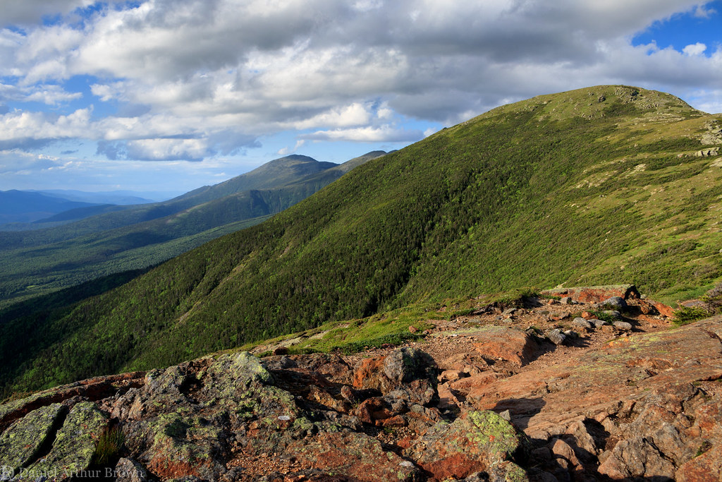
View of the Presidential Range from the Crawford Path-Edmand's Path junction, White Mountain National Forest, New Hampshire

Mountain Division
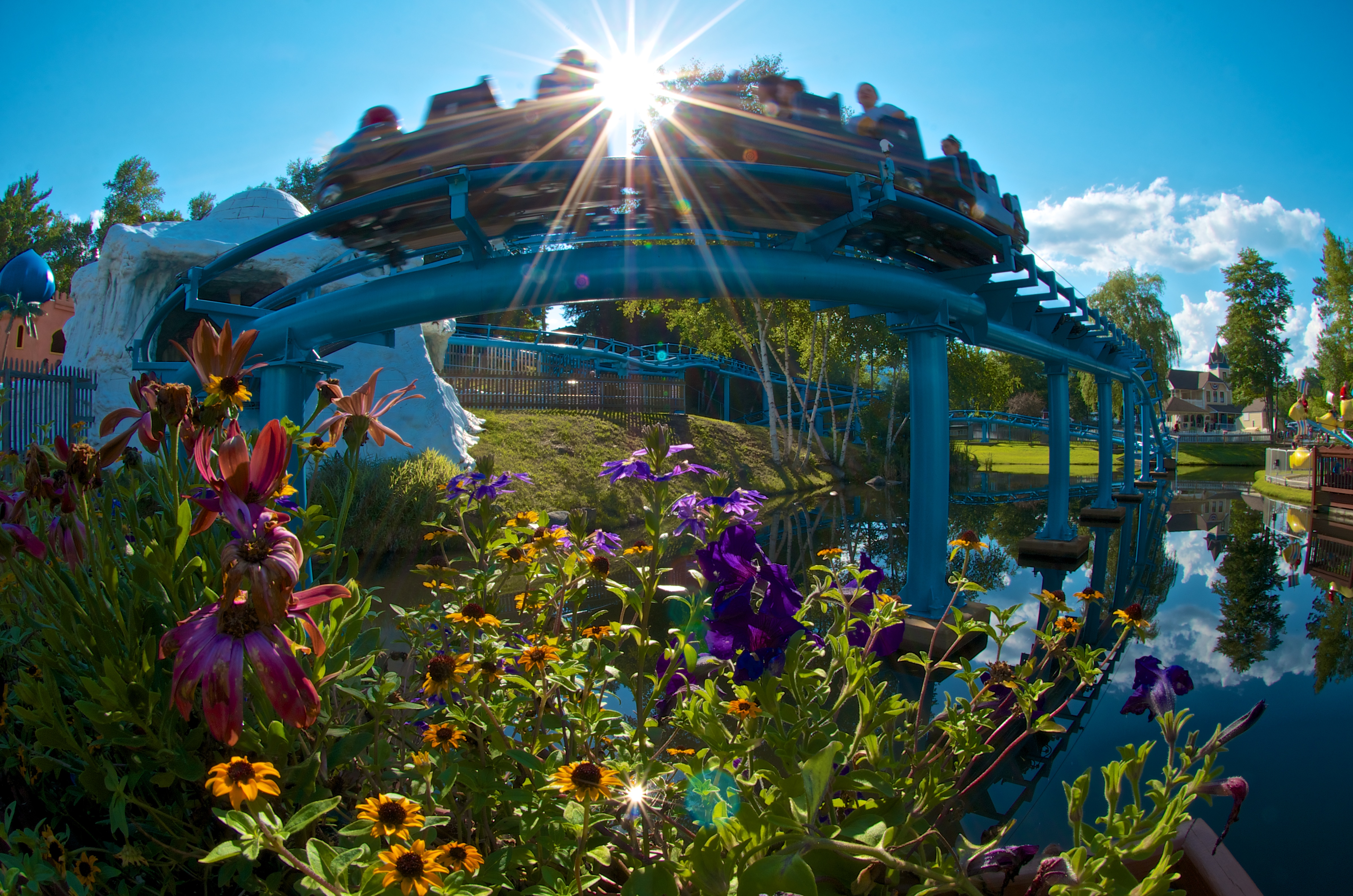
212/365 - Last Turn on the Polar Coaster

My coworker Tom with our work (Mt Washington) in the background

View from the Kancamagus
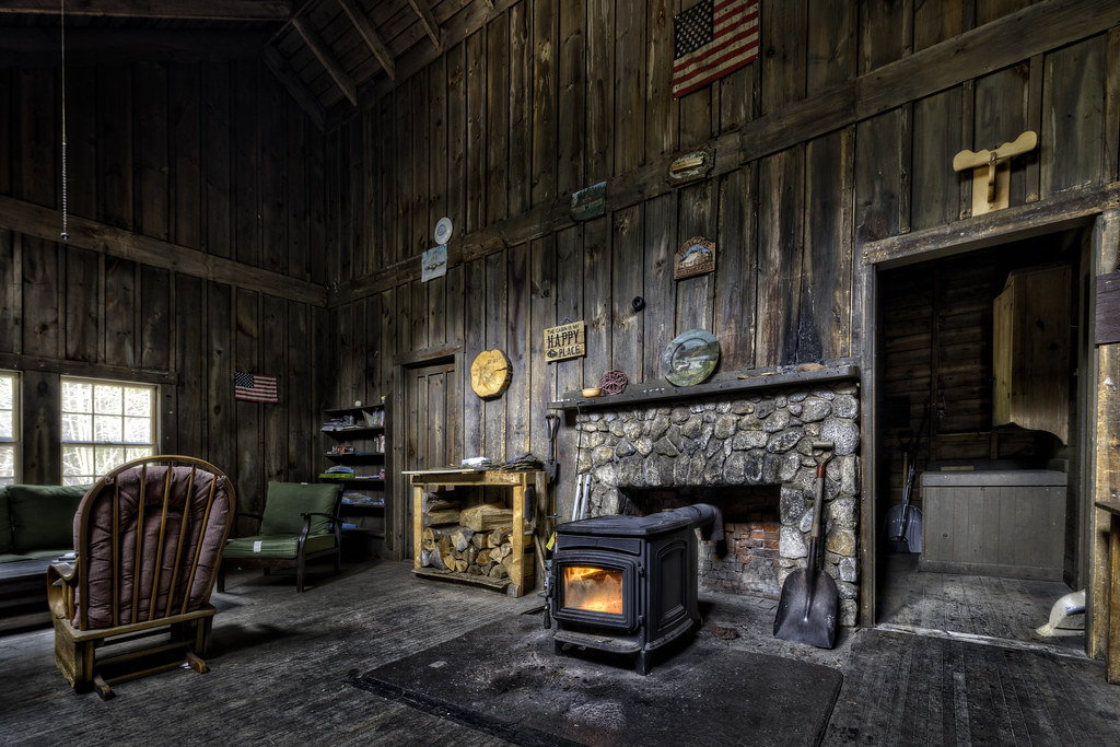
Radeke Cabin
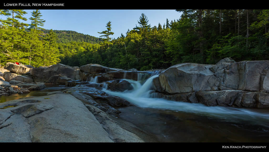
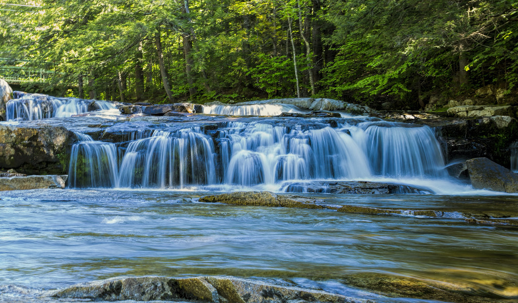
Lower Falls 7-31-12 (12)p

Mountain Rapids
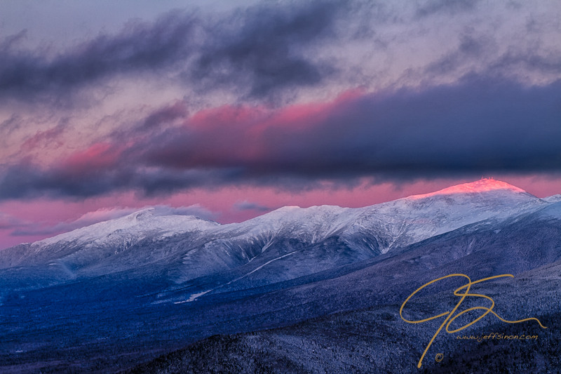
JSinon #LPTG13WK1. Mount Washington Summit In The Alpenglow

Sabbaday Falls
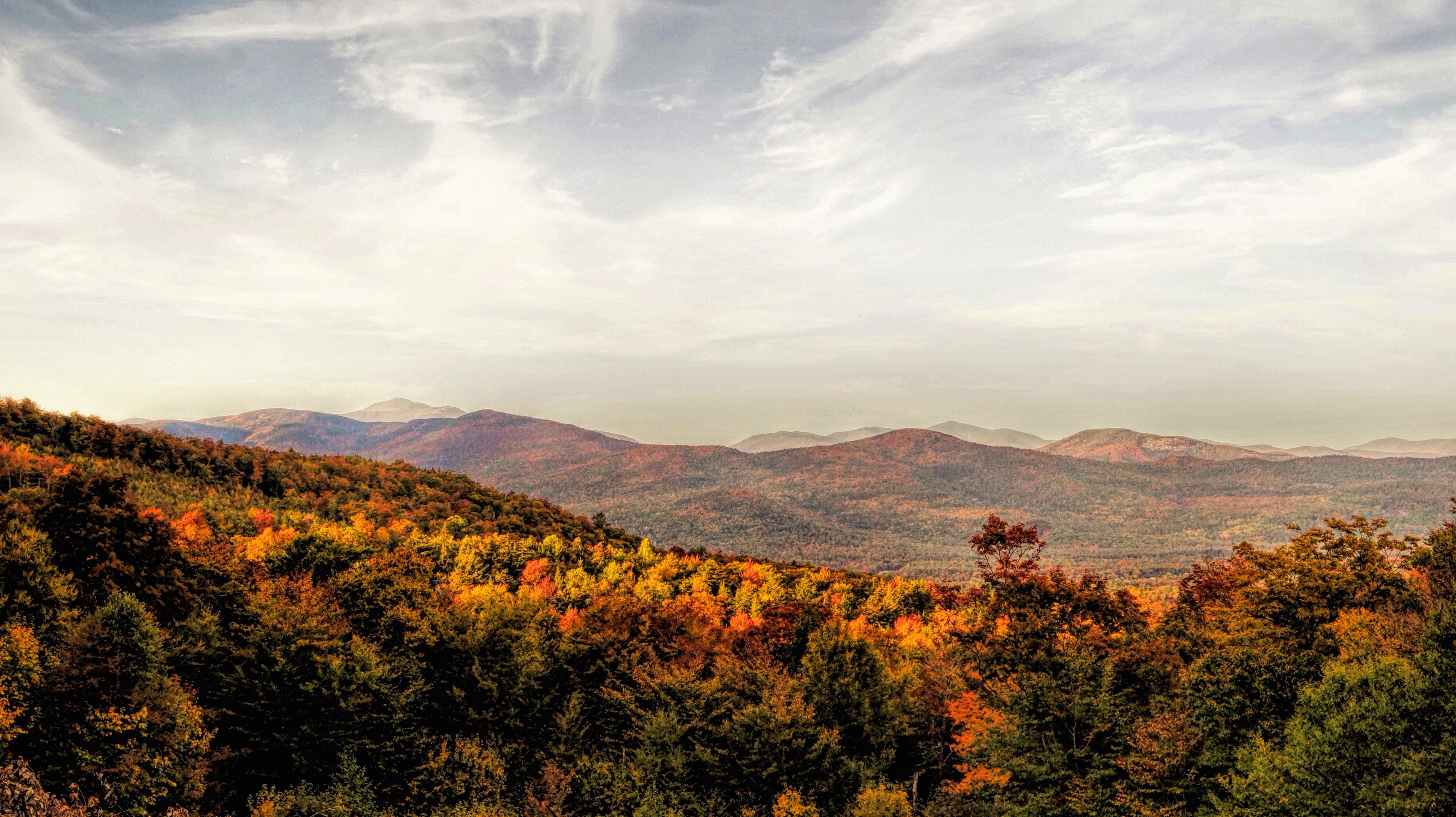
White Mountain National Forest

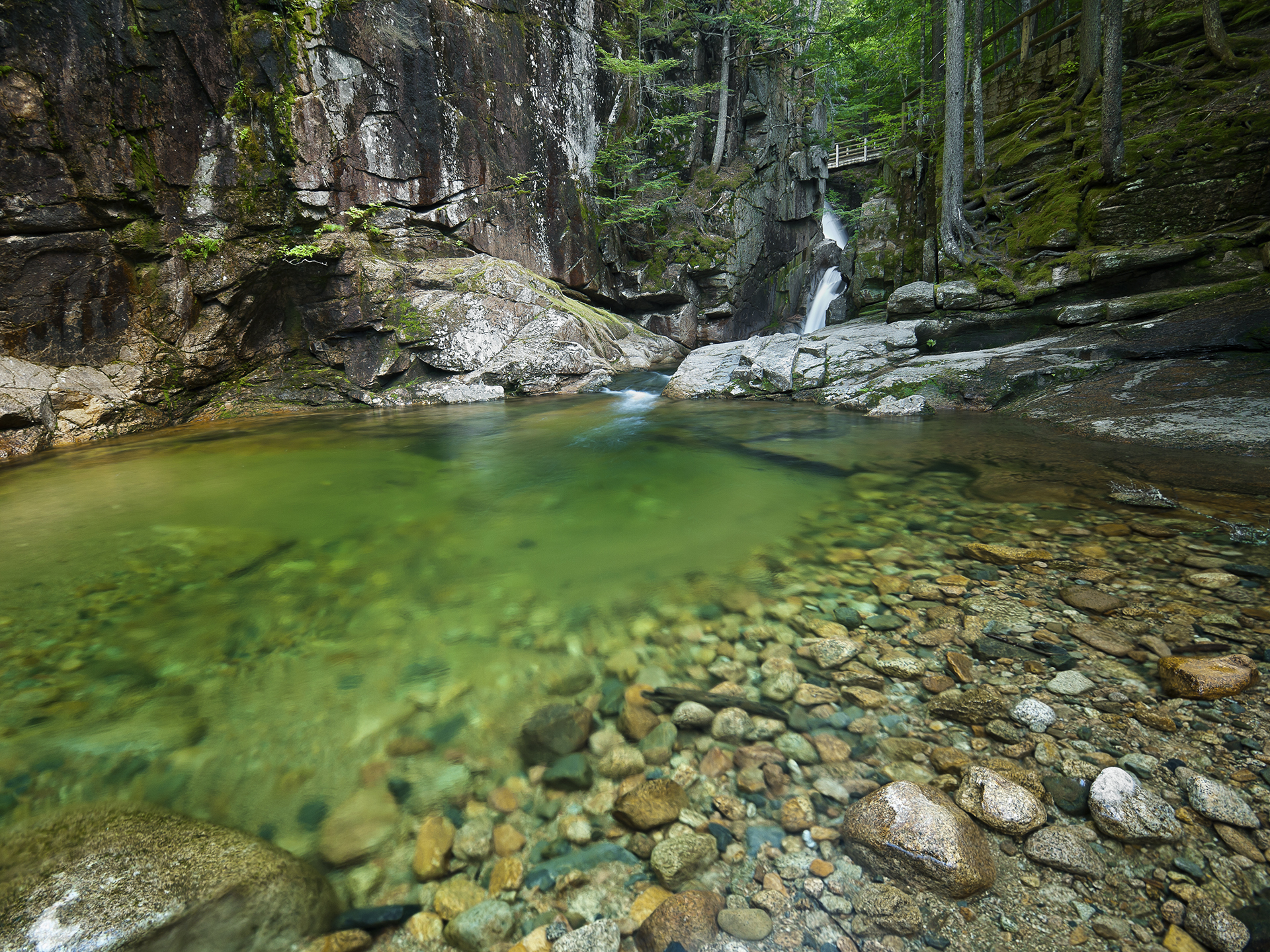
Bemis Brook Falls
Scenic Vista
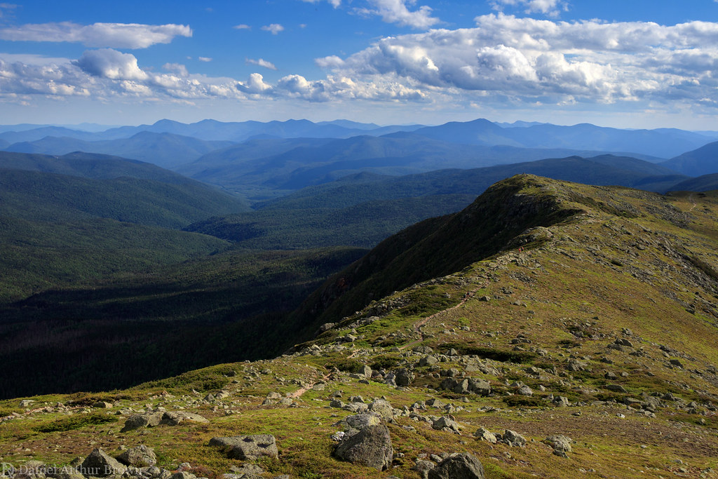
View south from the Mount Monroe false summit, White Mountain National Forest, New Hampshire

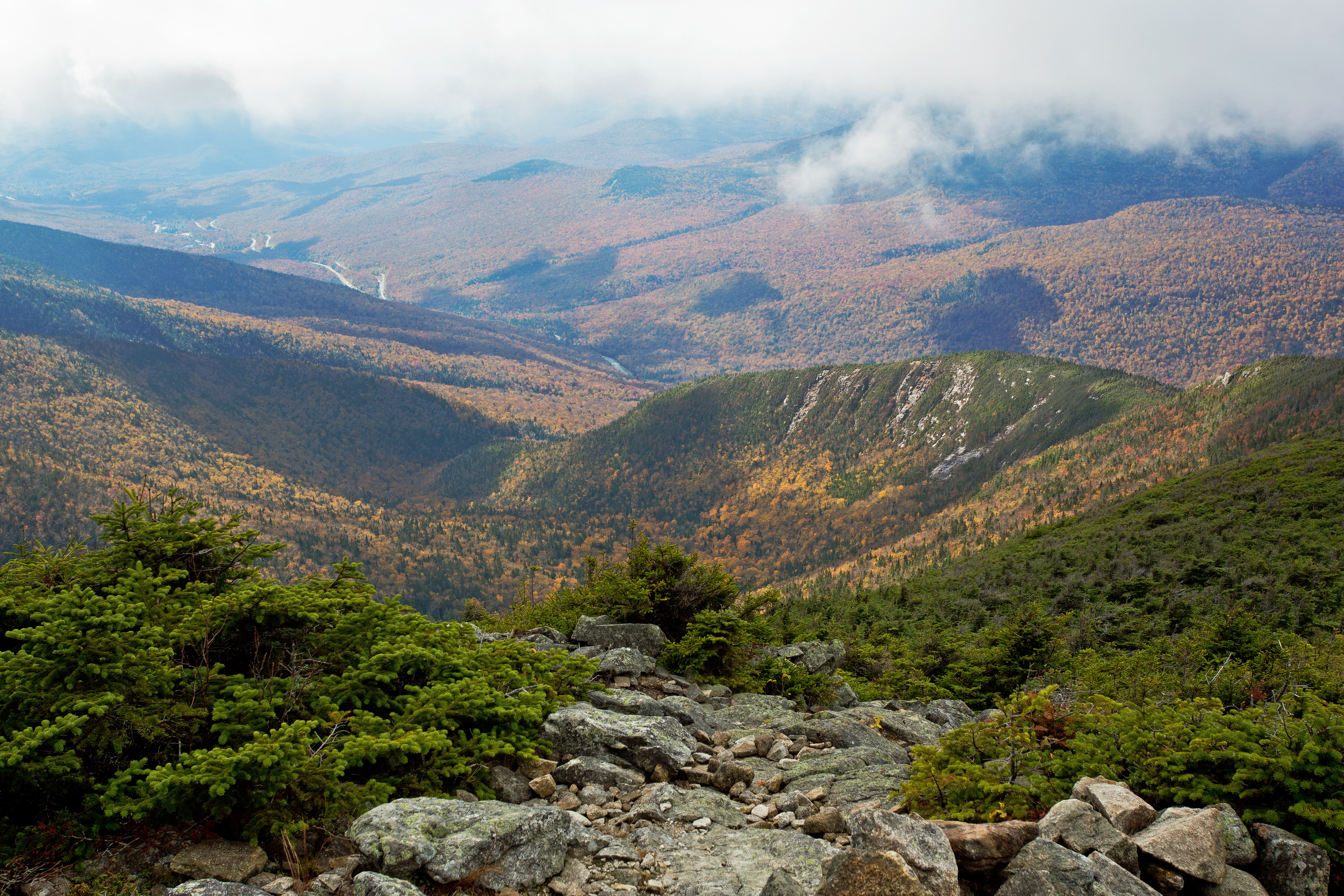
View from Bondcliff
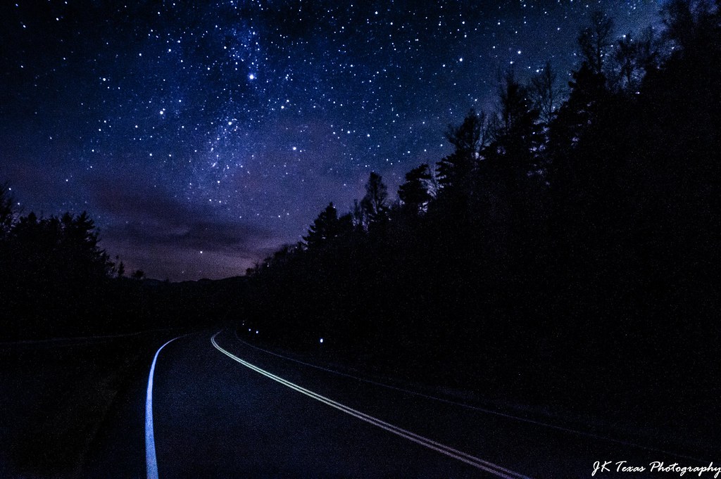
White Mountain ,New Hampshire nighway night
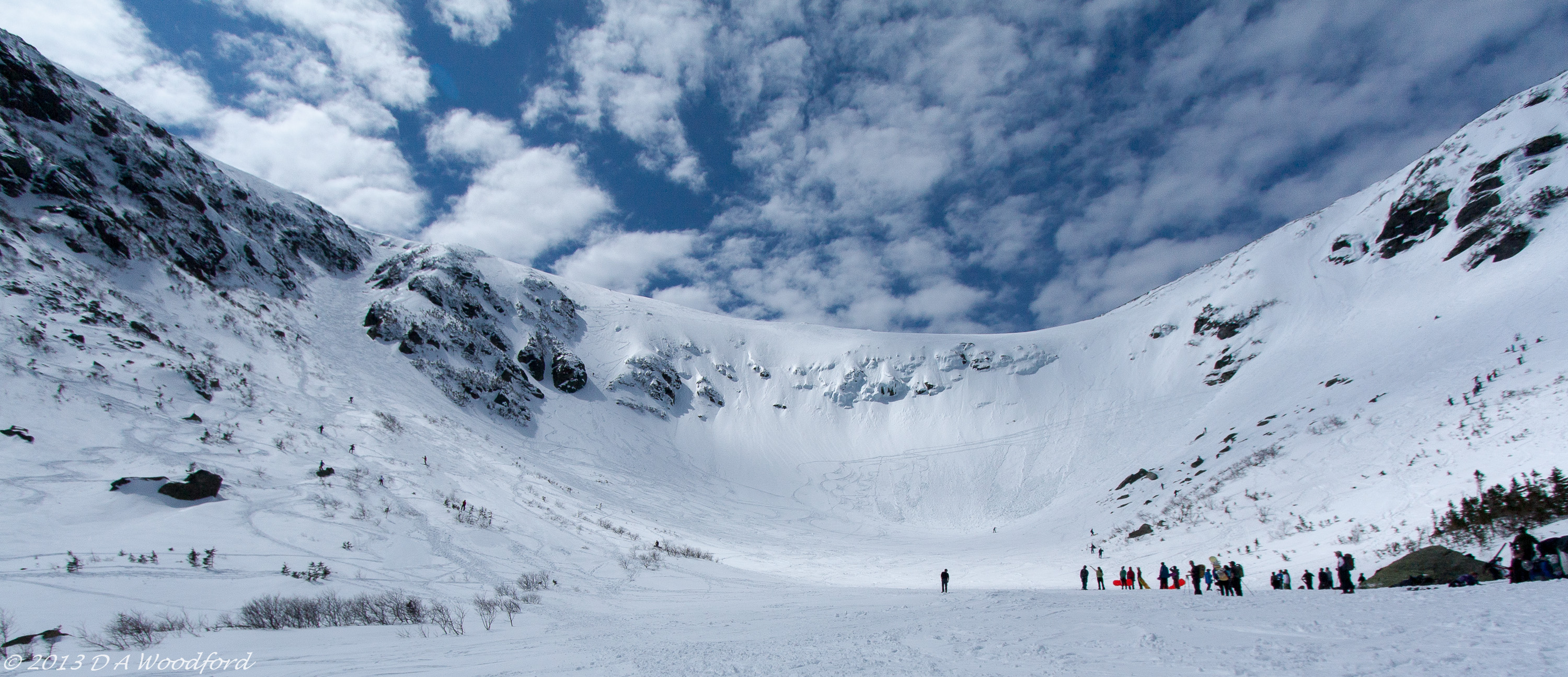
Tuckerman Ravine
Descending out of the cloud from Mount Lafayette, White Mountains, New Hampshire
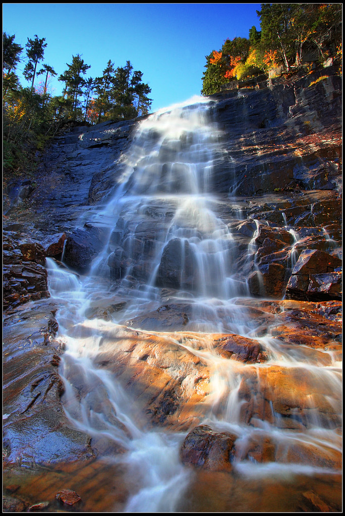
Arethusa Falls
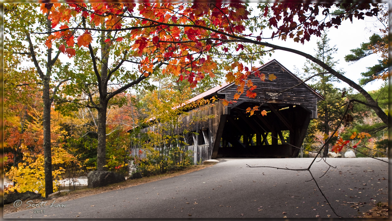
Albany New Hampshire Covered Bridge
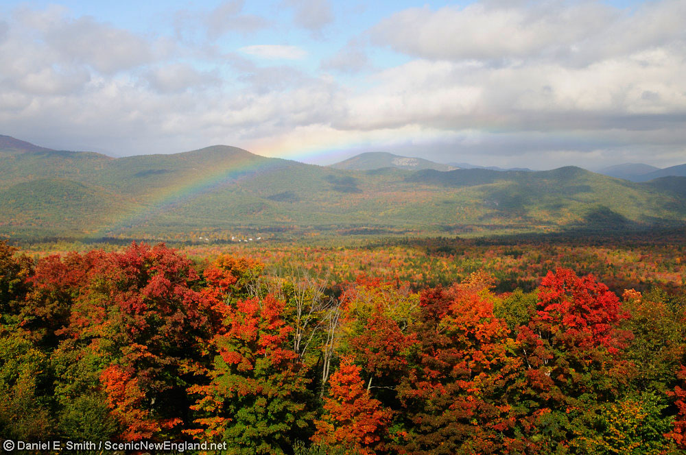
Rainbow over Bartlett

Crawford Notch, New Hampshire
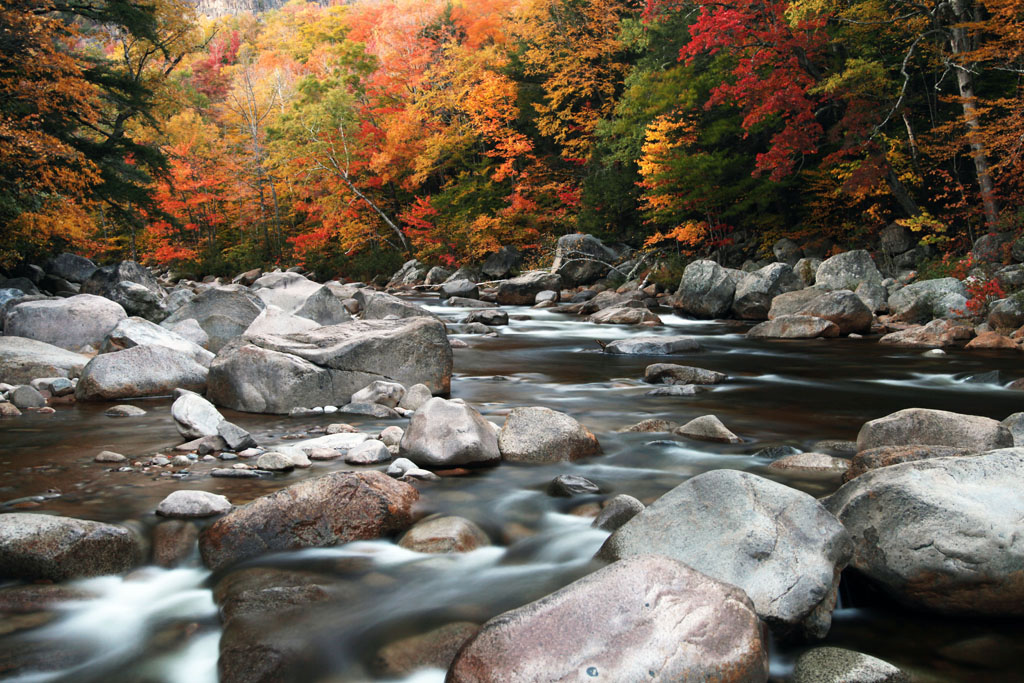
A Swift River for little m:)

_MG_3610 - Copy

Crawford Notch, New Hampshire
Sabbaday Falls, White Mountain National Forest, Waterville Valley, New Hampshire, USA

Back on track

Sunset/Kancamagus Highway
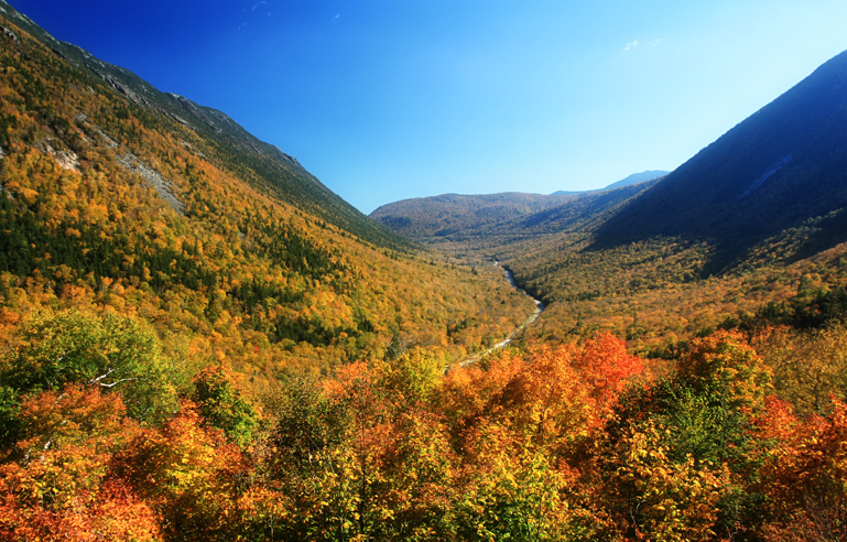
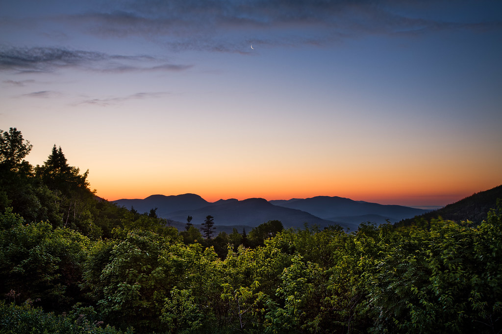
Crawford Notch
Ammonoosuc Lake, White Mountains, NH
Crawford Notch State Park - New Hampshire

Conway Scenic Railroad, New Hampshire

Inside Rocky Gorge

Crawford Notch State Park
Lily Pond#2
Jackson, N.H.
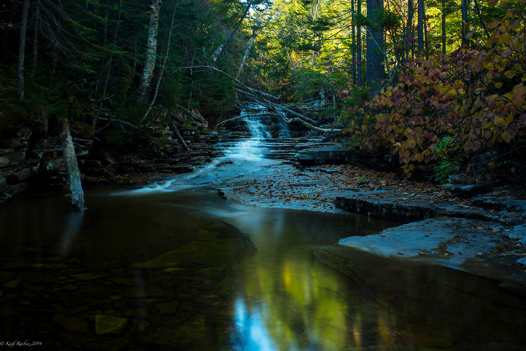
Beemis Falls
Topographic Map of 2 Morey Rd, Hart's Location, NH, USA
Find elevation by address:

Places near 2 Morey Rd, Hart's Location, NH, USA:
Grand Summit Drive
Bartlett
1 Seasons At Attitash Rd
West Side Rd, Bartlett, NH, USA
86 Highland Rd
Glen
83 Glen Ellis Campground Rd
34 Johnson Rd
White Ledge
Cathedral Ledge Road
NH-16A, Intervale, NH, USA
19 Alpstrausse
Intervale
Dorothy Drive
Albany
North Conway
38 Valley View
White Mountain Hwy & Kearsarge Rd
Mt Washington Valley Chamber Of Commerce
2665 White Mountain Hwy
Recent Searches:
- Elevation of Corso Fratelli Cairoli, 35, Macerata MC, Italy
- Elevation of Tallevast Rd, Sarasota, FL, USA
- Elevation of 4th St E, Sonoma, CA, USA
- Elevation of Black Hollow Rd, Pennsdale, PA, USA
- Elevation of Oakland Ave, Williamsport, PA, USA
- Elevation of Pedrógão Grande, Portugal
- Elevation of Klee Dr, Martinsburg, WV, USA
- Elevation of Via Roma, Pieranica CR, Italy
- Elevation of Tavkvetili Mountain, Georgia
- Elevation of Hartfords Bluff Cir, Mt Pleasant, SC, USA