Elevation of 2, LA, USA
Location: United States > Louisiana > Grant Parish >
Longitude: -92.668573
Latitude: 31.5663422
Elevation: 25m / 82feet
Barometric Pressure: 101KPa
Elevation Map:
Satellite Map:
Related Photos:
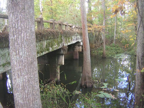
Aloha Bridge- Side View

Ursula original

tenticles stormy
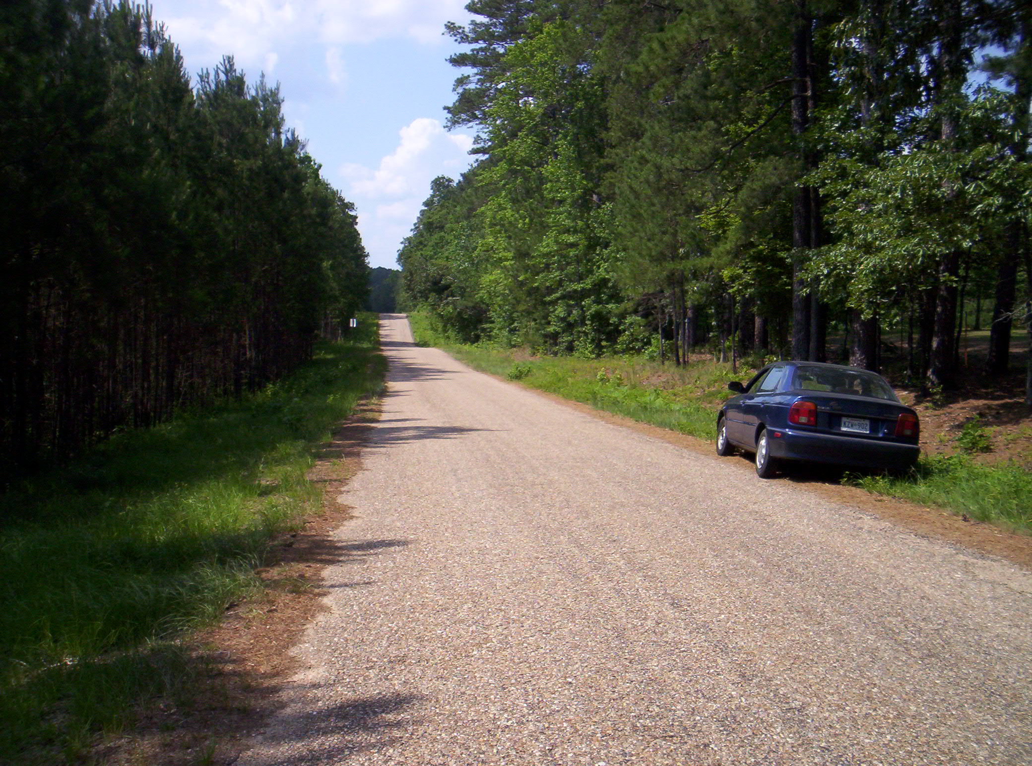
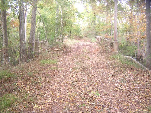
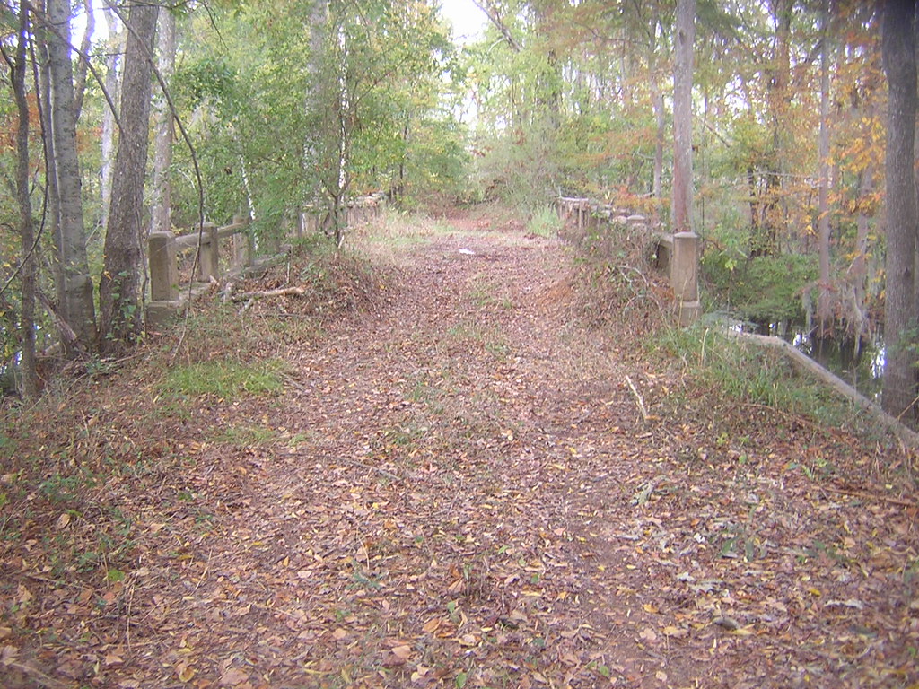
Louisiana Trail
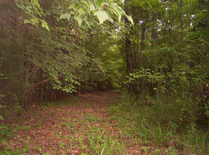
Path 2

Tractor small
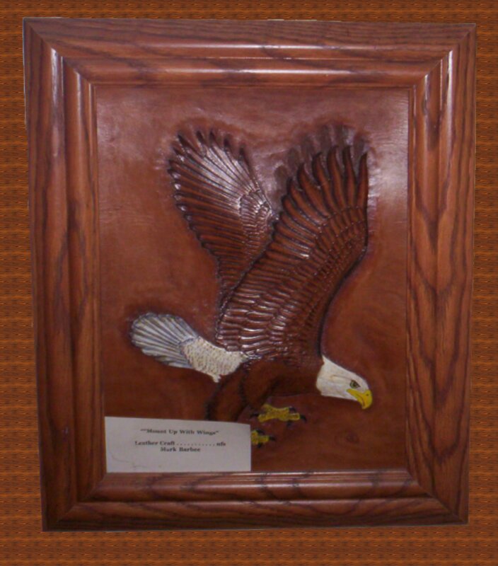
Eagle corrected 2
Rascal Head turned up
Rascal 2

Self photo

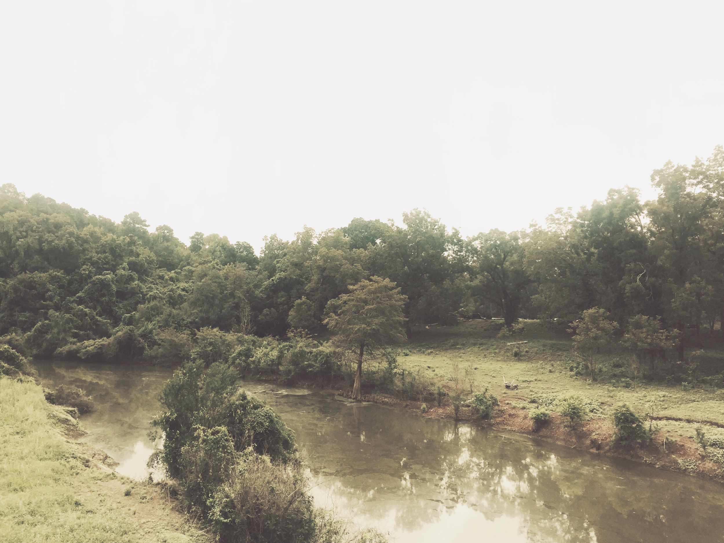
Bayou mikveh
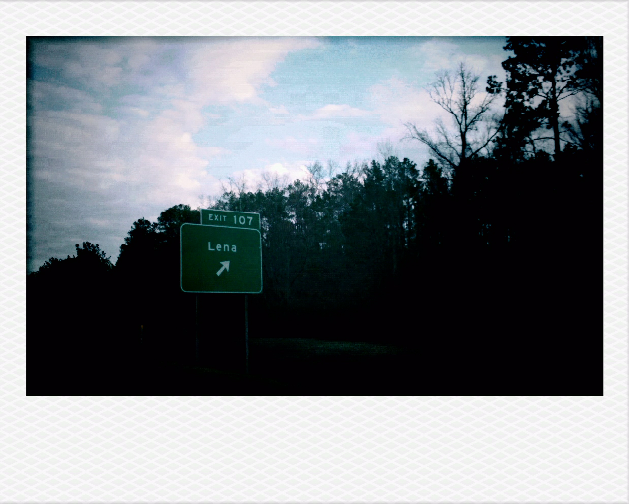
Lena, LA.
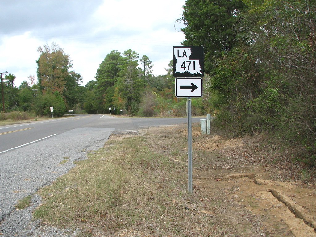
LA 471
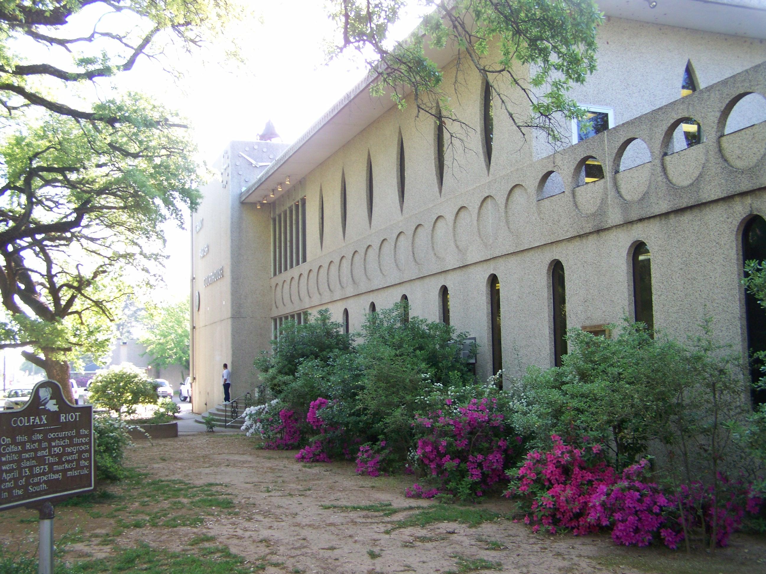
Grant Parish Courthouse- Colfax LA
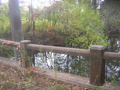
Aloha Bridge Railing
Aloha Bridge-South Approach
Old 71 Aloha, LA
Topographic Map of 2, LA, USA
Find elevation by address:

Places in 2, LA, USA:
Places near 2, LA, USA:
8th St, Colfax, LA, USA
4418 Us-71
4418 Us-71
4422 Us-71
4424 Us-71
LA-8, Dry Prong, LA, USA
Dry Prong
Grove St, Dry Prong, LA, USA
17782 Us-167
1326 James Branch Rd
1144 Pin Oak Dr
1142 Pin Oak Dr
1142 Pin Oak Dr
1142 Pin Oak Dr
1140 Pin Oak Dr
1128 Pin Oak Dr
5, LA, USA
821 Rock Hill Rd
821 Rock Hill Rd
Bentley
Recent Searches:
- Elevation of Corso Fratelli Cairoli, 35, Macerata MC, Italy
- Elevation of Tallevast Rd, Sarasota, FL, USA
- Elevation of 4th St E, Sonoma, CA, USA
- Elevation of Black Hollow Rd, Pennsdale, PA, USA
- Elevation of Oakland Ave, Williamsport, PA, USA
- Elevation of Pedrógão Grande, Portugal
- Elevation of Klee Dr, Martinsburg, WV, USA
- Elevation of Via Roma, Pieranica CR, Italy
- Elevation of Tavkvetili Mountain, Georgia
- Elevation of Hartfords Bluff Cir, Mt Pleasant, SC, USA