Elevation of 29 S Village Rd, Loudon, NH, USA
Location: United States > New Hampshire > Merrimack County > Loudon >
Longitude: -71.466107
Latitude: 43.2852654
Elevation: 118m / 387feet
Barometric Pressure: 100KPa
Elevation Map:
Satellite Map:
Related Photos:

pause...

shoot the moon
exit 15

Dark and Deep
hello there...
View from Shaker Village, Canterbury, NH

training days
firing solution
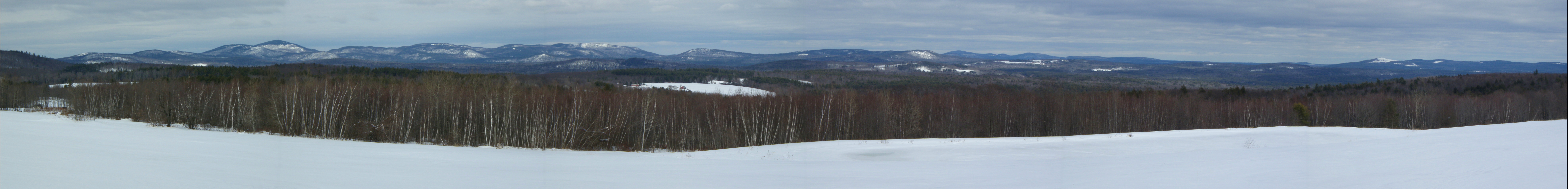
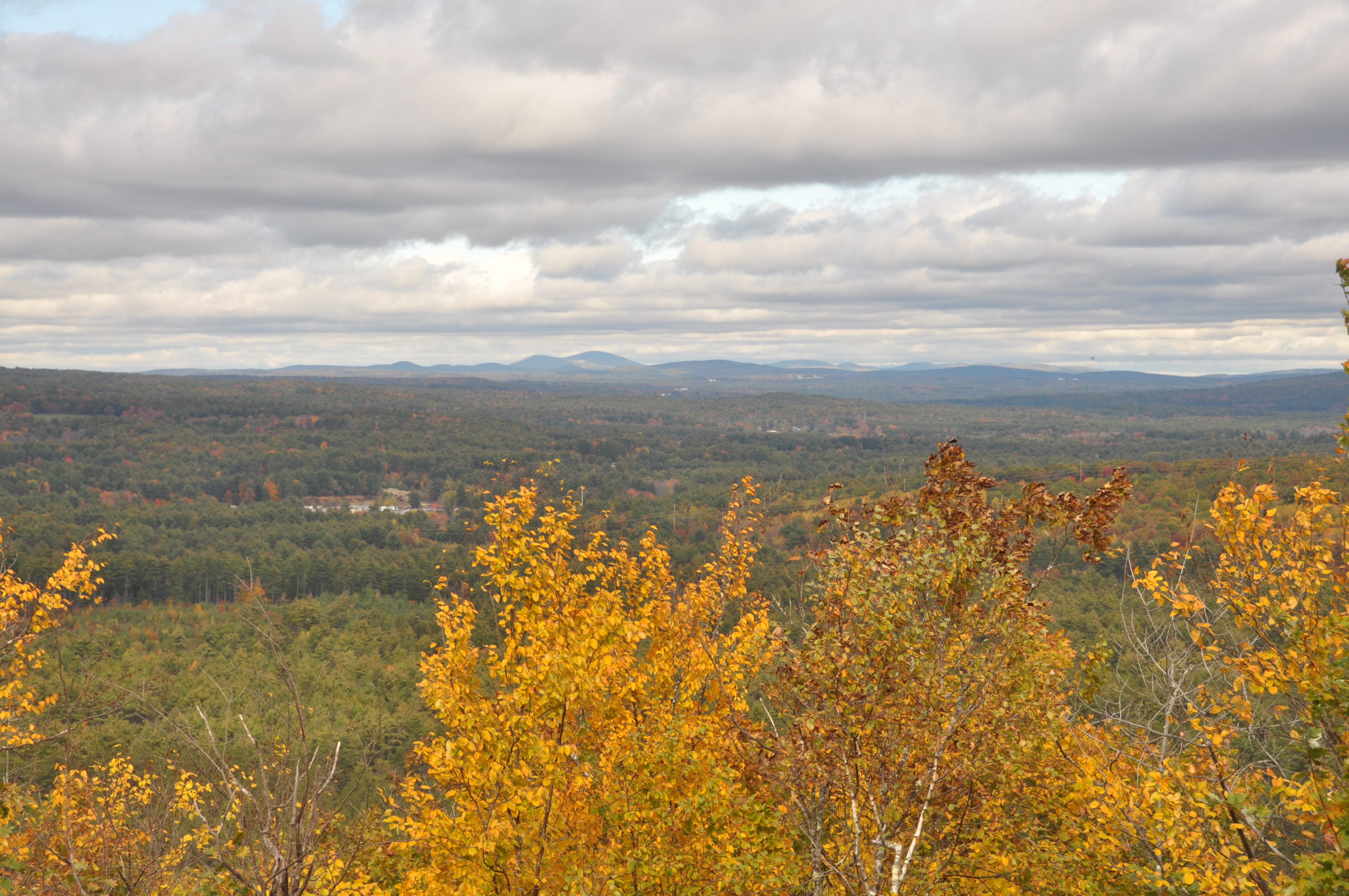
Frisky Hill View-point (pano) 3/2/13
It's Alive!!!
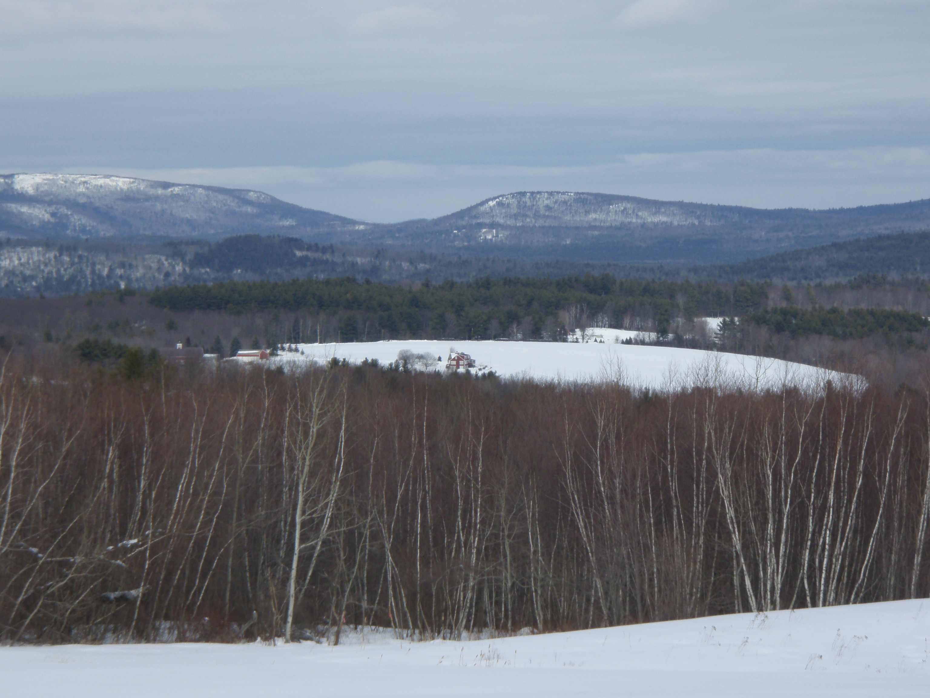
Frisky Hill View 3/2/13
Finding THE Photo Op

Why So Smoky?
Library View
flatout staredown

there's probably a lesson here somewhere...

the intersection of church and state

the ants went hungry
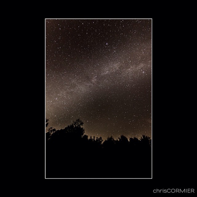
My view of the Milky Way from my house on a very clear and calm night.

seduced by illusion

Niagara Falls and the Maid of the Mist viewed from Canada #waterfall #niagarafalls #maidofthemist #rainbow #landscape #canada #newyork

Misty Morning Crossing
Fall in The Shire (Explore)

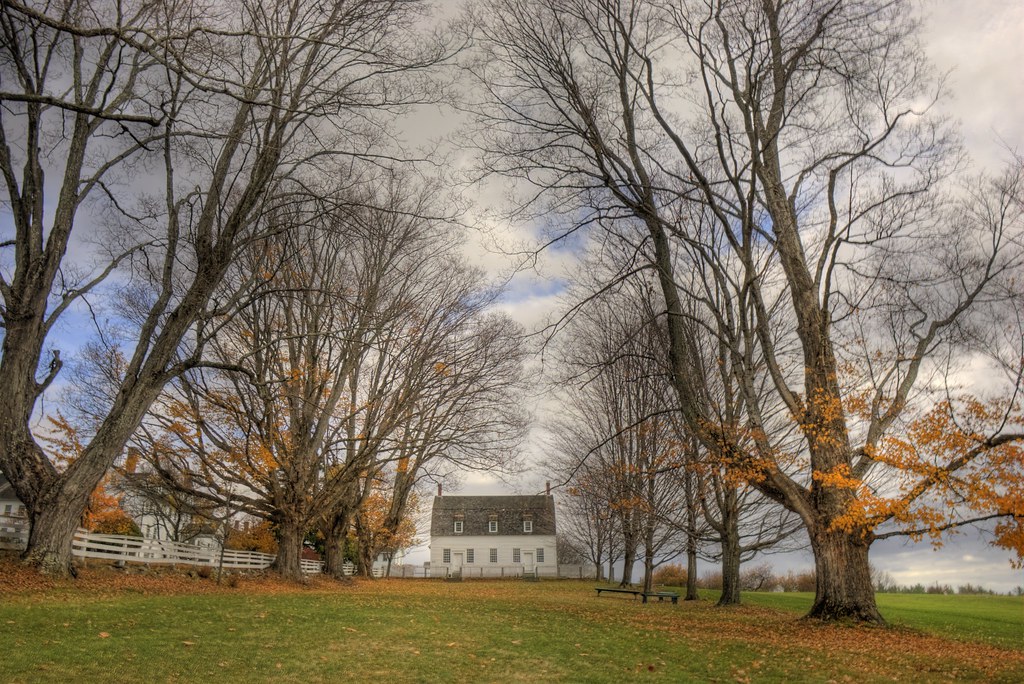
Shaker Village Farm House
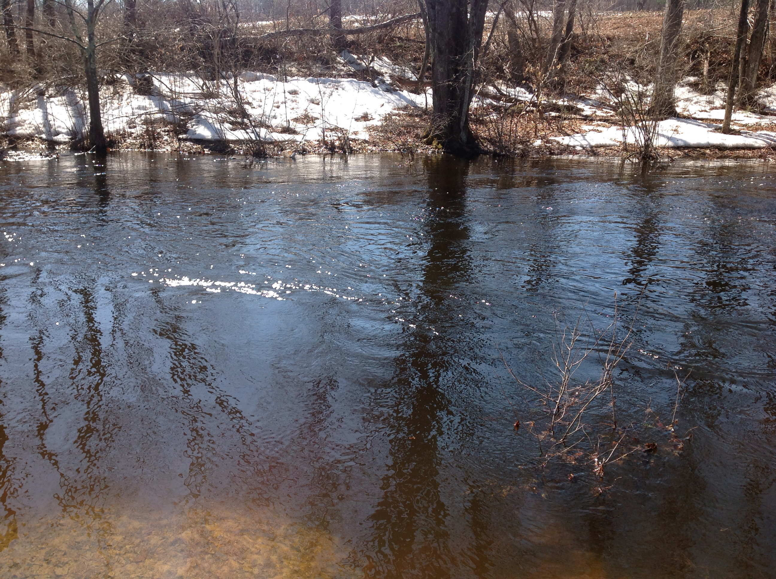
Spring is Wet 2

Beautiful day for the first #SCCNH2016 #autocross school.

Niagara Falls and the Maid of the Mist viewed from Canada #waterfall #niagarafalls #maidofthemist #rainbow #landscape #canada #newyork
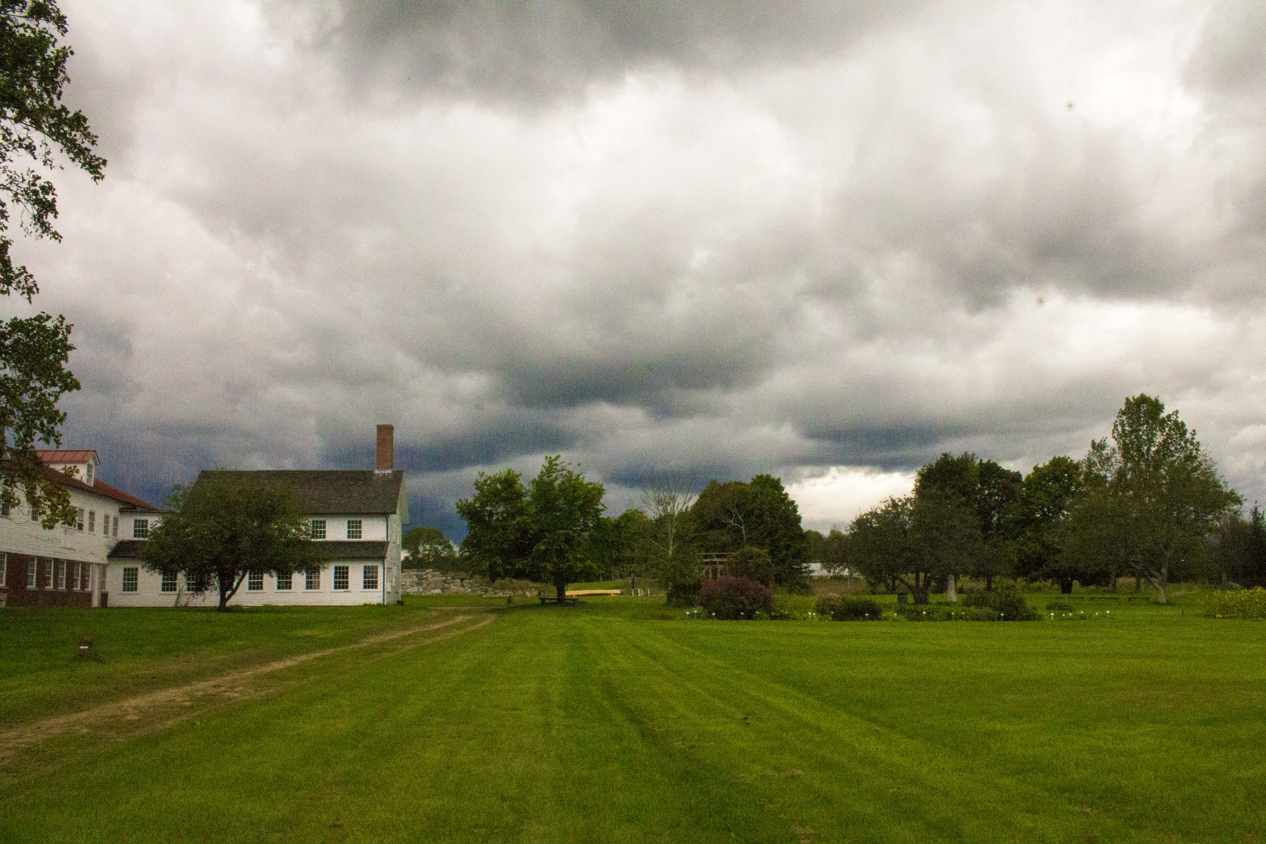
Storm on the Farm
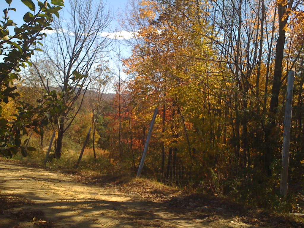
dotted drive14
Appleview Farm
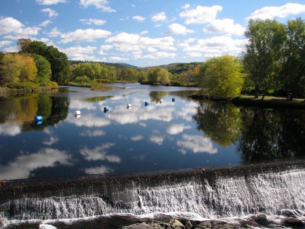
Turtle Town Pond
Cabin Fever

20091010NEM00149.JPG
20091010NEM00143.JPG
The Horse

20091010NEM00155.JPG
20091010NEM00108.JPG

Winter Road

Thursday morning in the park
Blue on Blue
Topographic Map of 29 S Village Rd, Loudon, NH, USA
Find elevation by address:

Places near 29 S Village Rd, Loudon, NH, USA:
Loudon
11 Violet Way
5 Daffodil Dr
Souther Lane
84 Staniels Rd
362 Dover Rd
7552 Currier Rd
32 Bumfagon Rd
55 Durgin Rd
200 Dover Rd
20 Tallant Rd
Chichester
5 Pittsfield Rd, Loudon, NH, USA
71 Hilliard Rd
10 Lottie Ln
11 Freedom Acres Dr
68 Suncook Valley Rd, Chichester, NH, USA
637 Lower Ridge Rd
3 Brookwood Dr
915 Loudon Ridge Rd
Recent Searches:
- Elevation of Corso Fratelli Cairoli, 35, Macerata MC, Italy
- Elevation of Tallevast Rd, Sarasota, FL, USA
- Elevation of 4th St E, Sonoma, CA, USA
- Elevation of Black Hollow Rd, Pennsdale, PA, USA
- Elevation of Oakland Ave, Williamsport, PA, USA
- Elevation of Pedrógão Grande, Portugal
- Elevation of Klee Dr, Martinsburg, WV, USA
- Elevation of Via Roma, Pieranica CR, Italy
- Elevation of Tavkvetili Mountain, Georgia
- Elevation of Hartfords Bluff Cir, Mt Pleasant, SC, USA