Elevation of 29 Dawson St, Milton, NH, USA
Location: United States > New Hampshire > Strafford County > Milton >
Longitude: -70.988534
Latitude: 43.409757
Elevation: 138m / 453feet
Barometric Pressure: 0KPa
Related Photos:
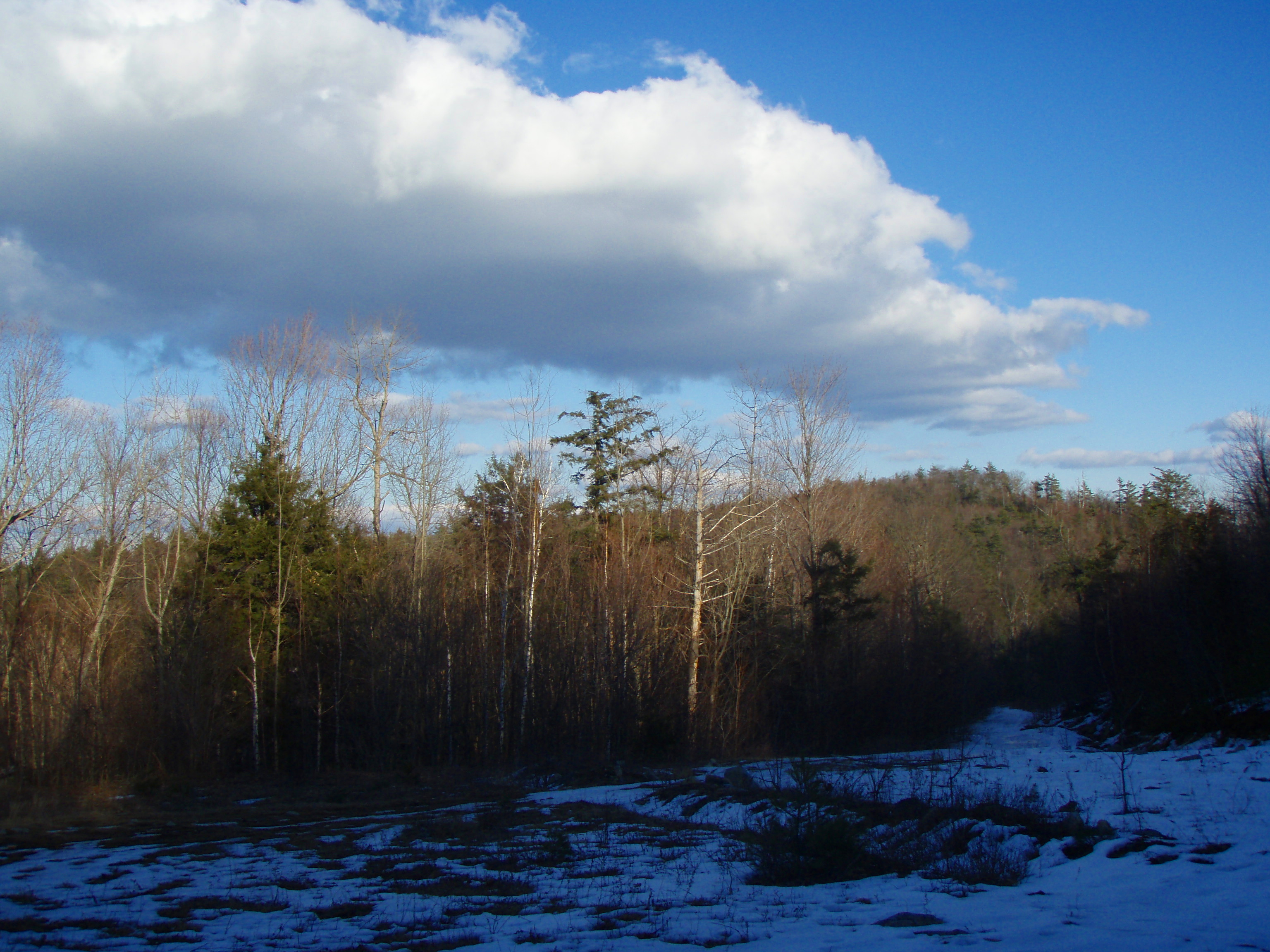
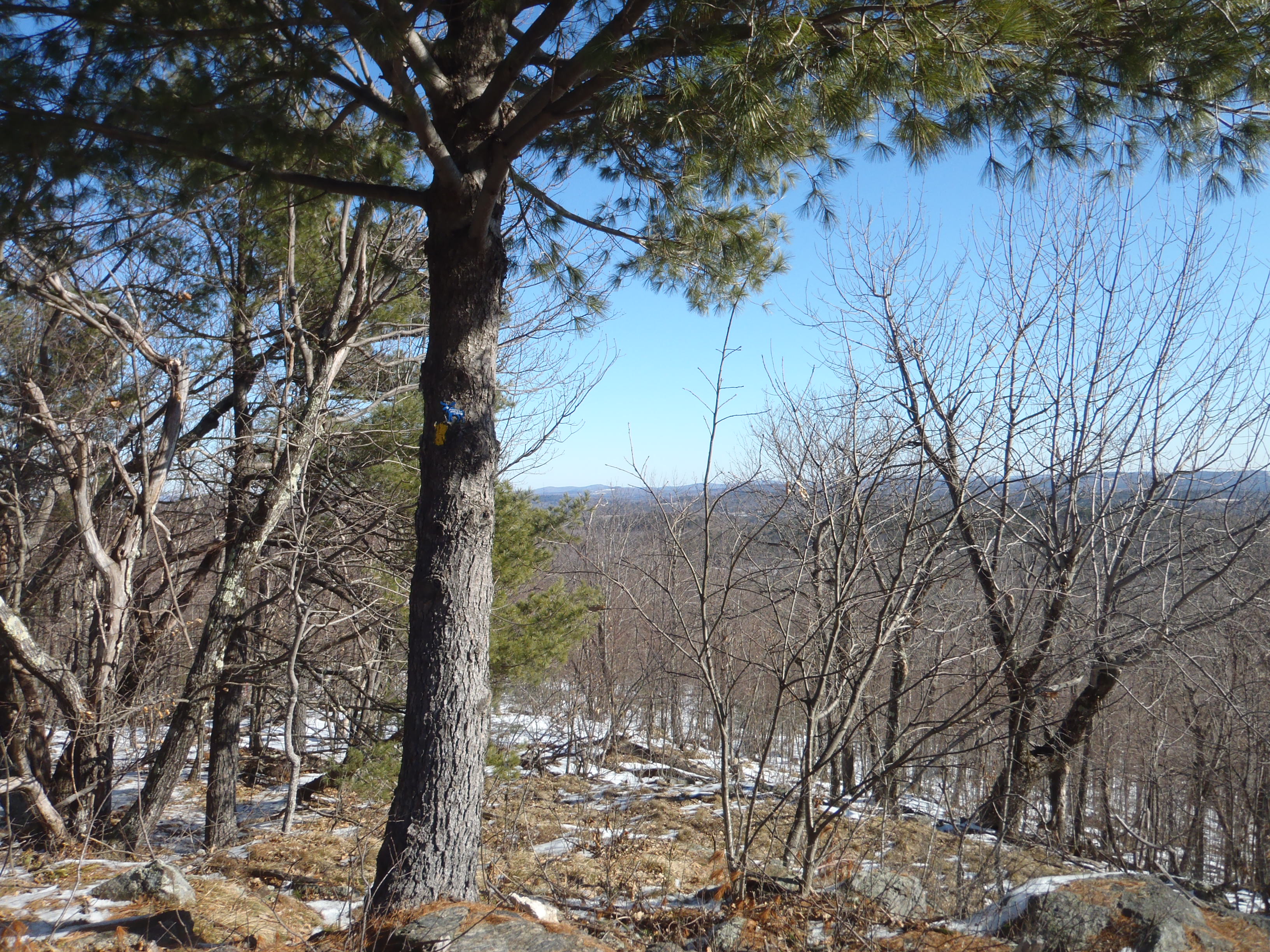
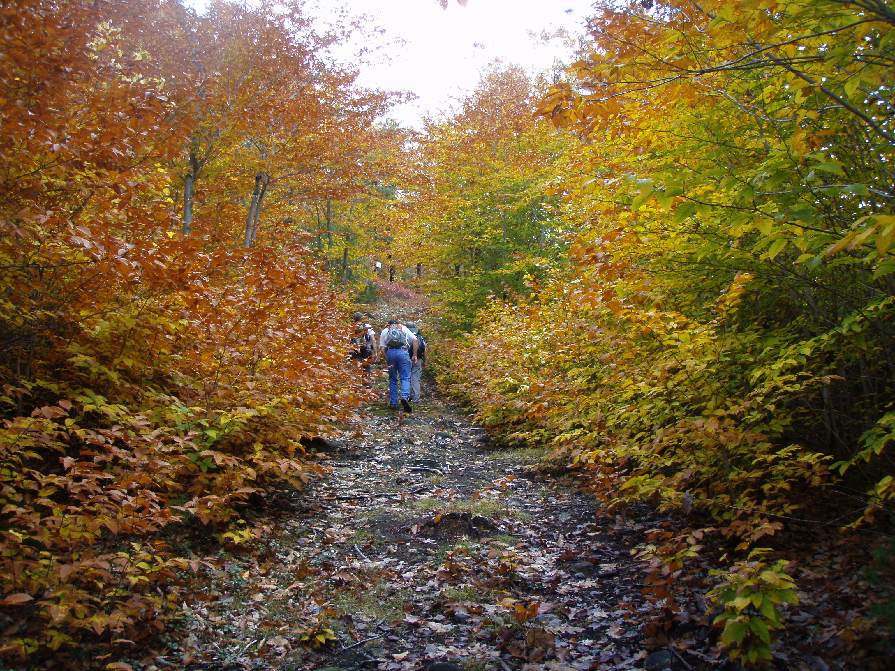
View from upper landing on North Trail
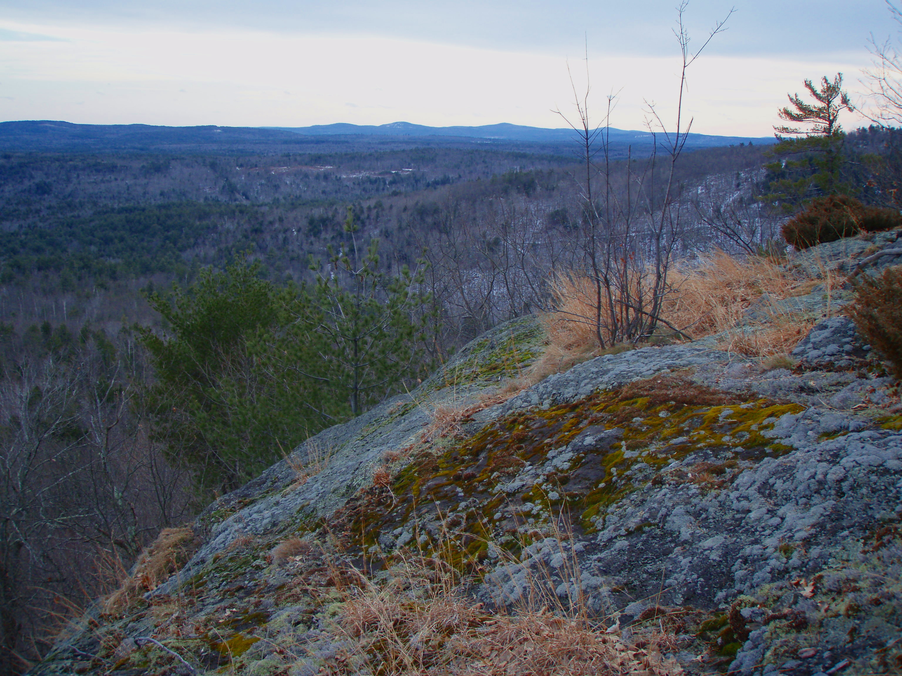
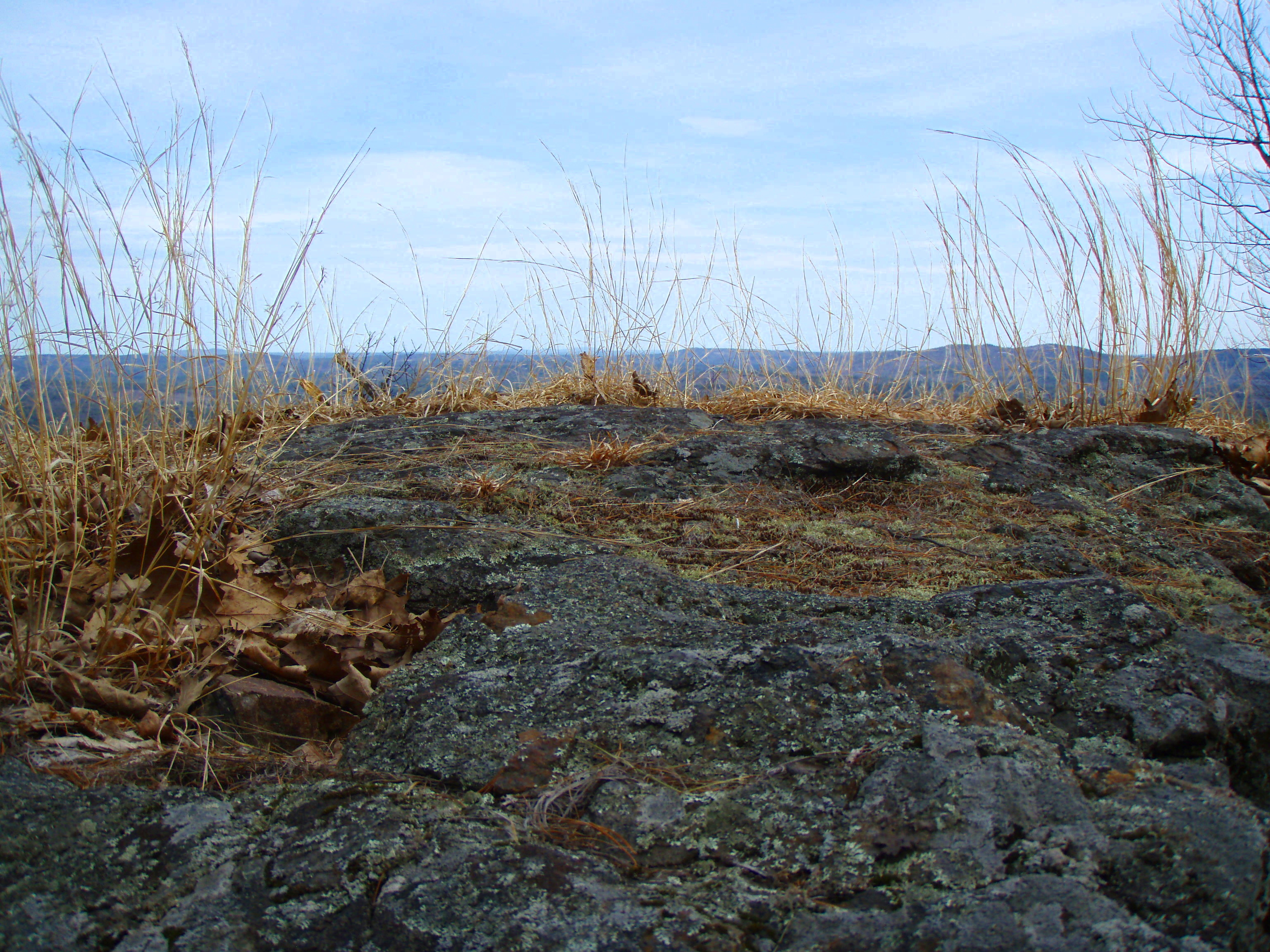
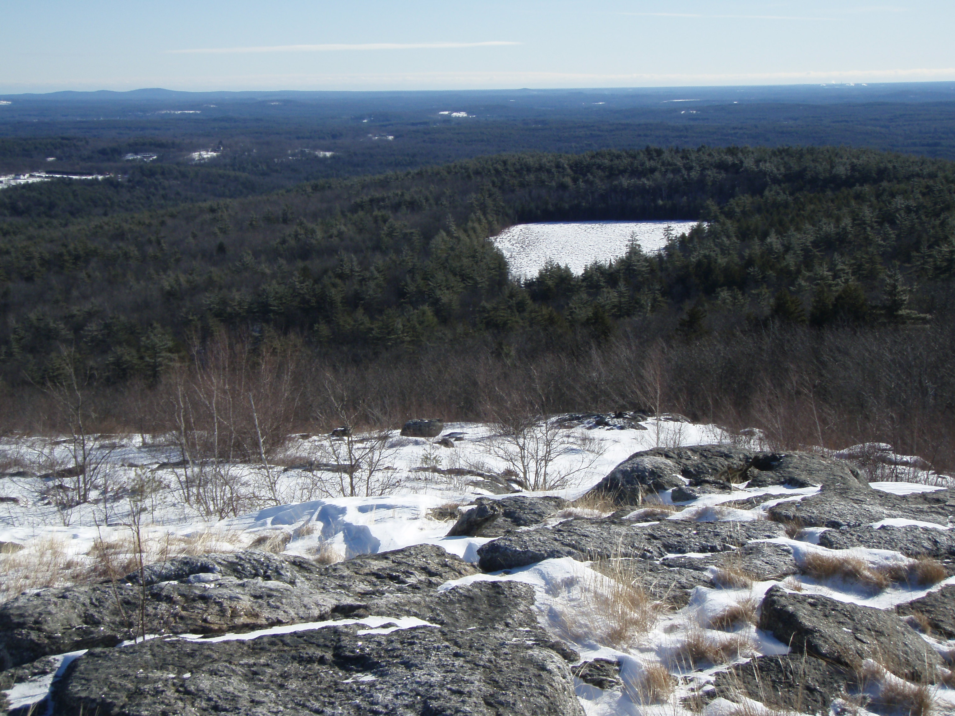
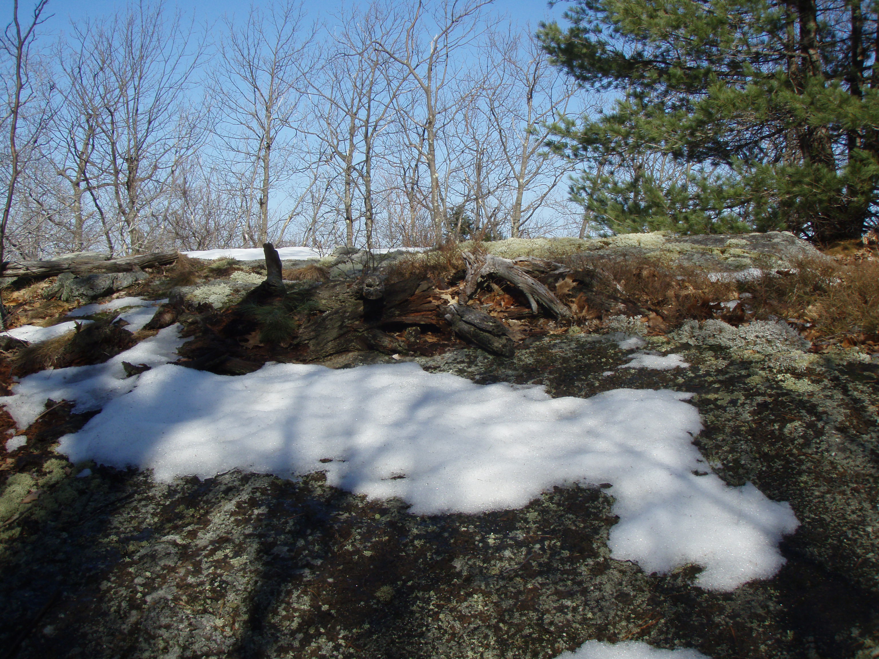
Beauty Ledge view
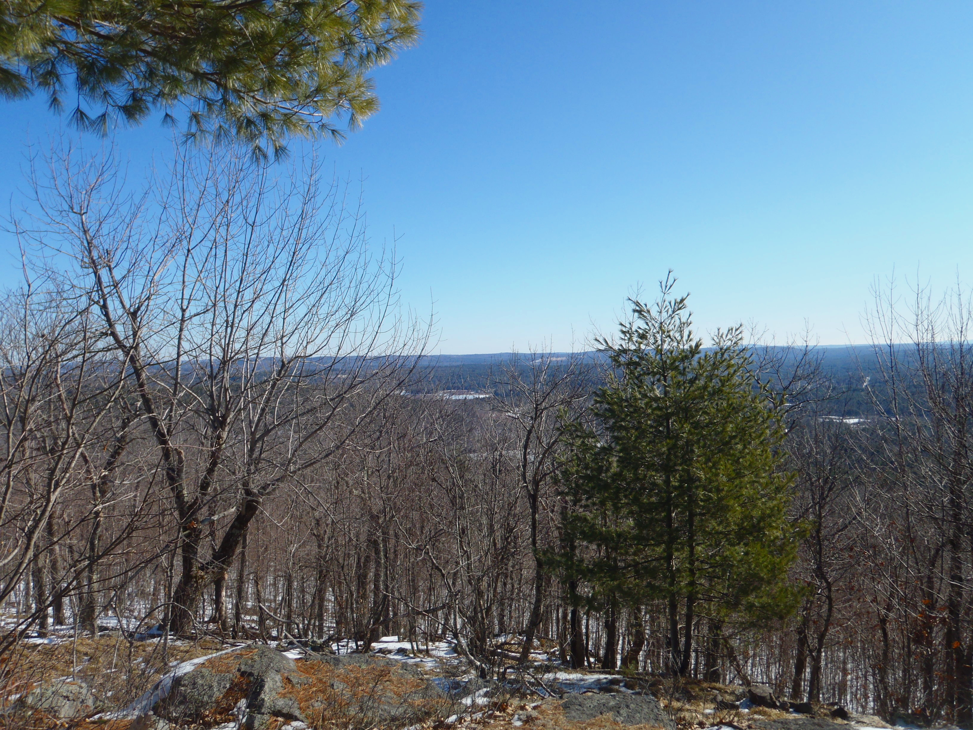
View from Phoebe's Nable
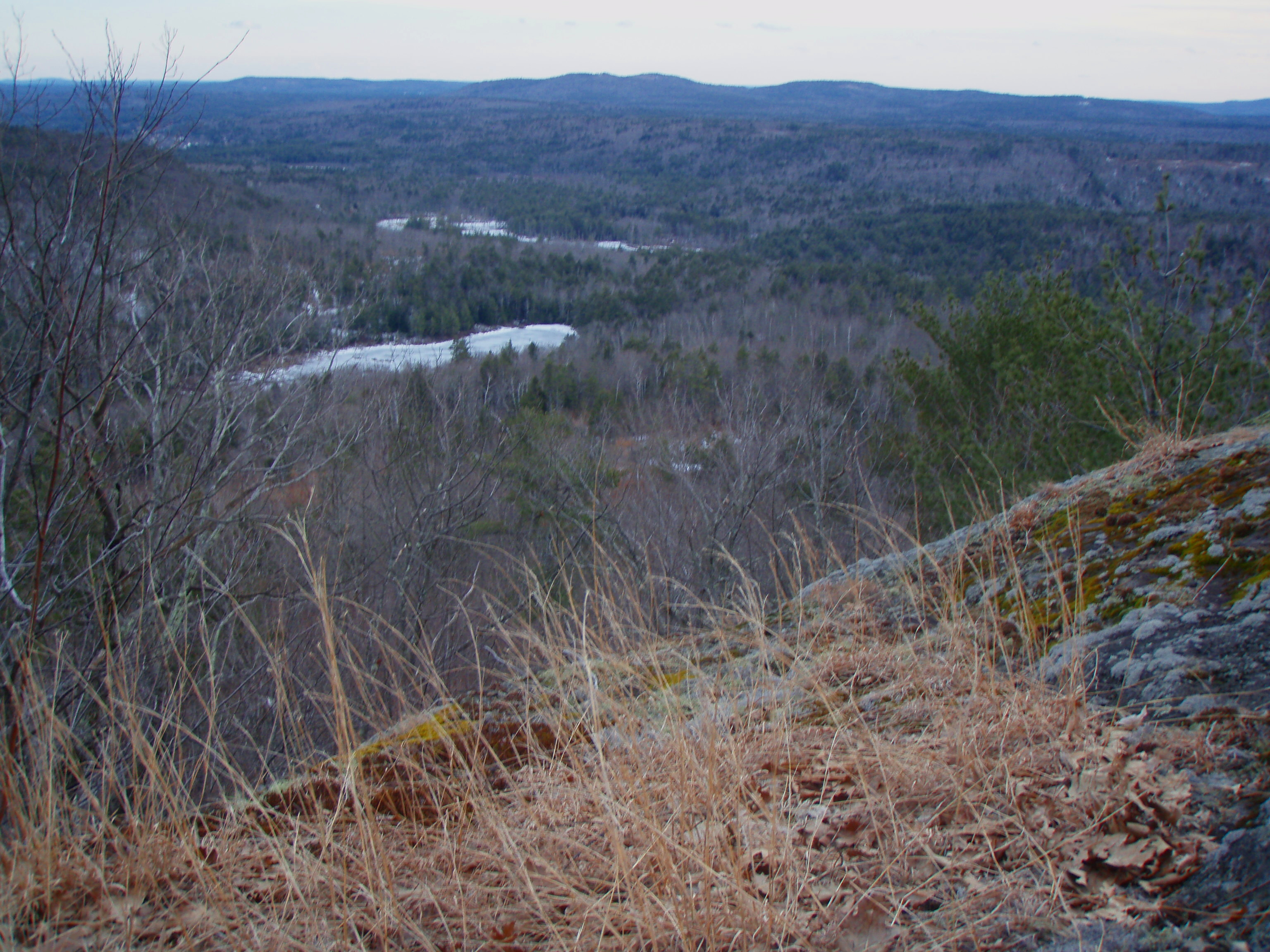
Beauty Ledge view
Phoebes Nable Mt. view
View North from Phoebes Nable Mt. Trail

Beauty Ledge View 2-22-12 (pano)
North View trail

View from Little Baldy Pan
View to Beauty & Boulder ledges
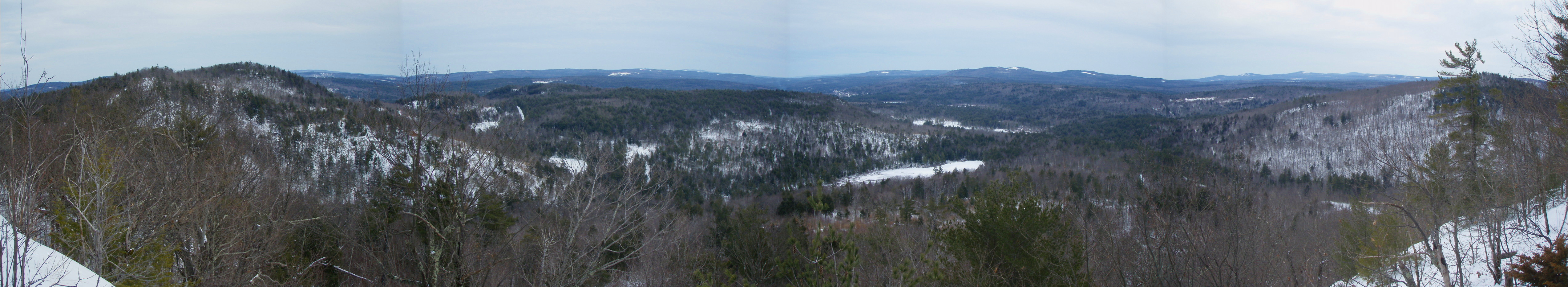
Beauty Ledge View 3-4-12 (pano)
View from Phoebe's Nable
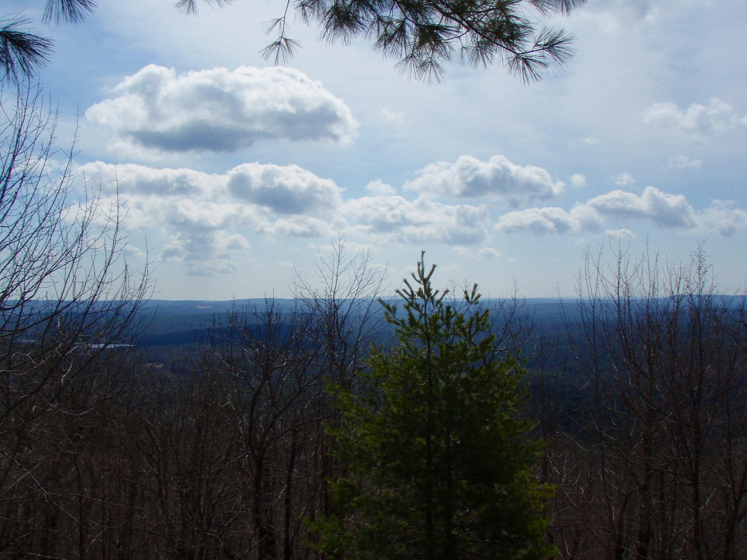
View from Phoebes Nable Mt. summit
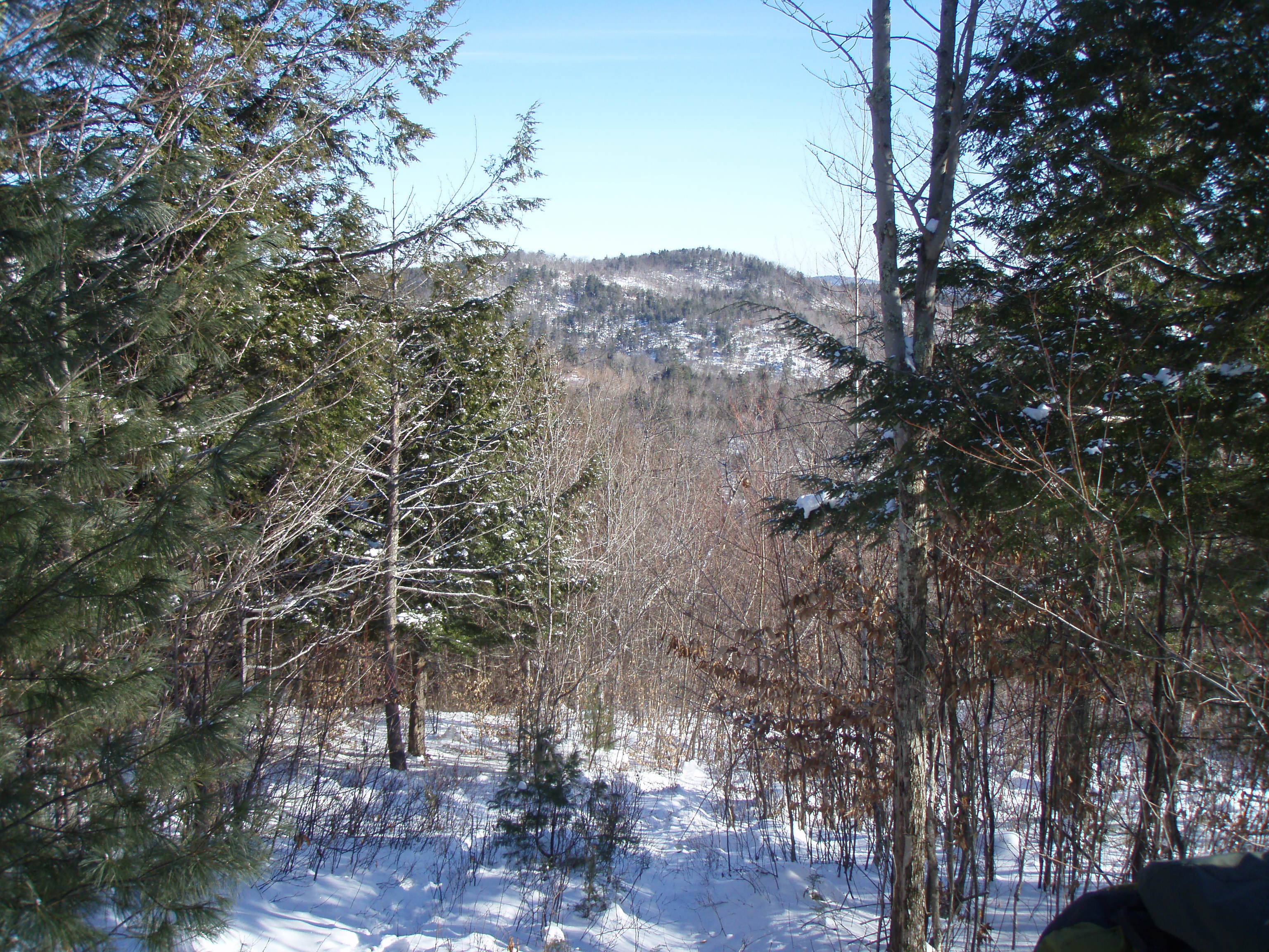
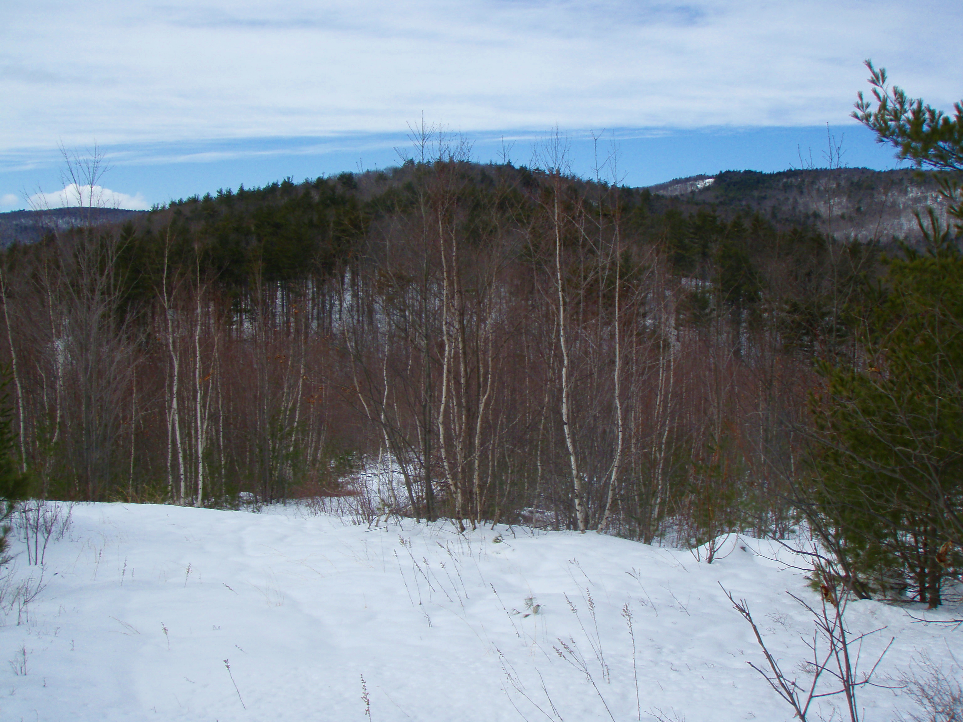
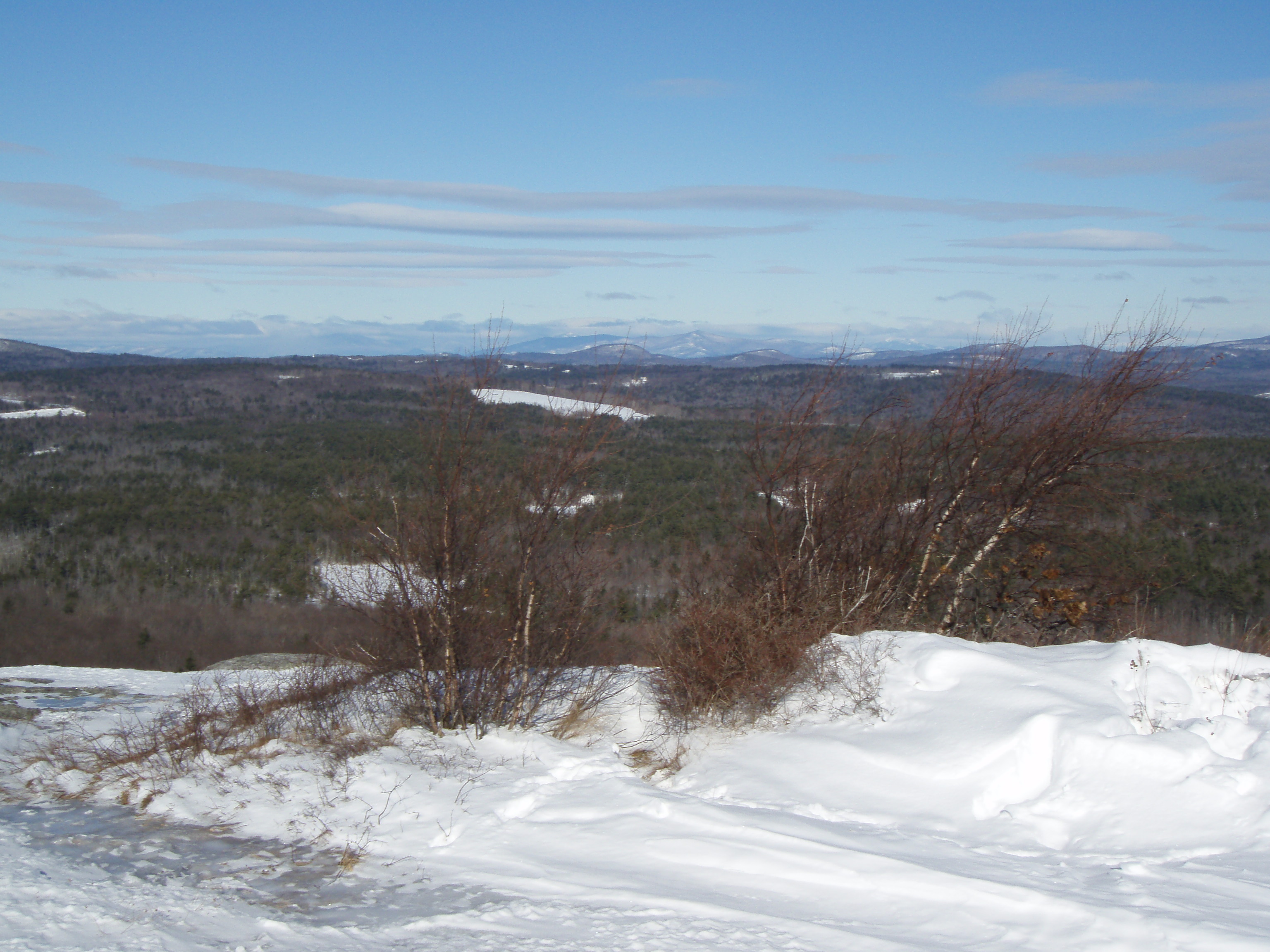
View up to Moose Mountains
View East from Little Baldy

Beauty Ledge 180* View (pano)

View across Bowser Pond from Beauty Ledge

View through the trees to Moose Mountains
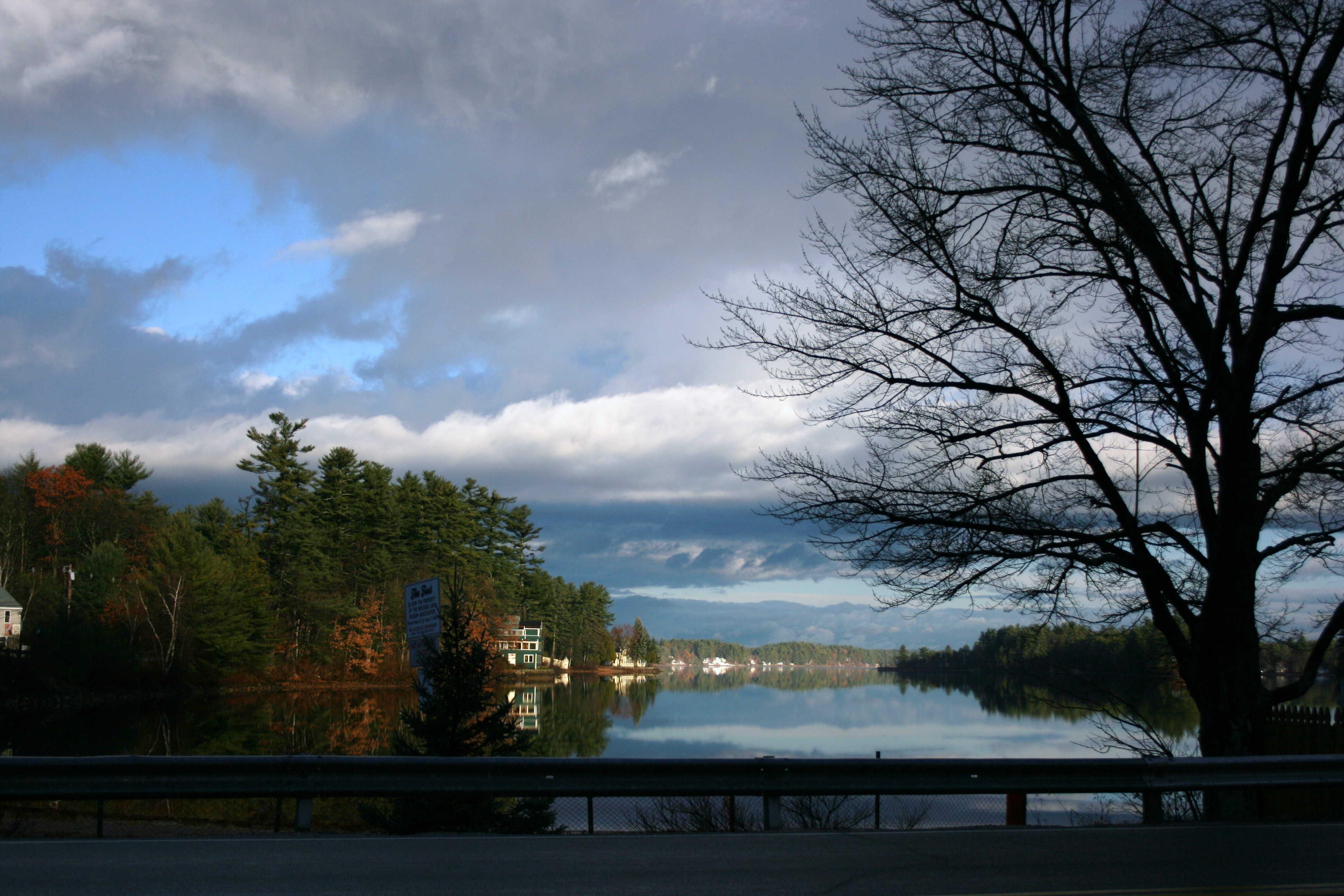
view across mousam
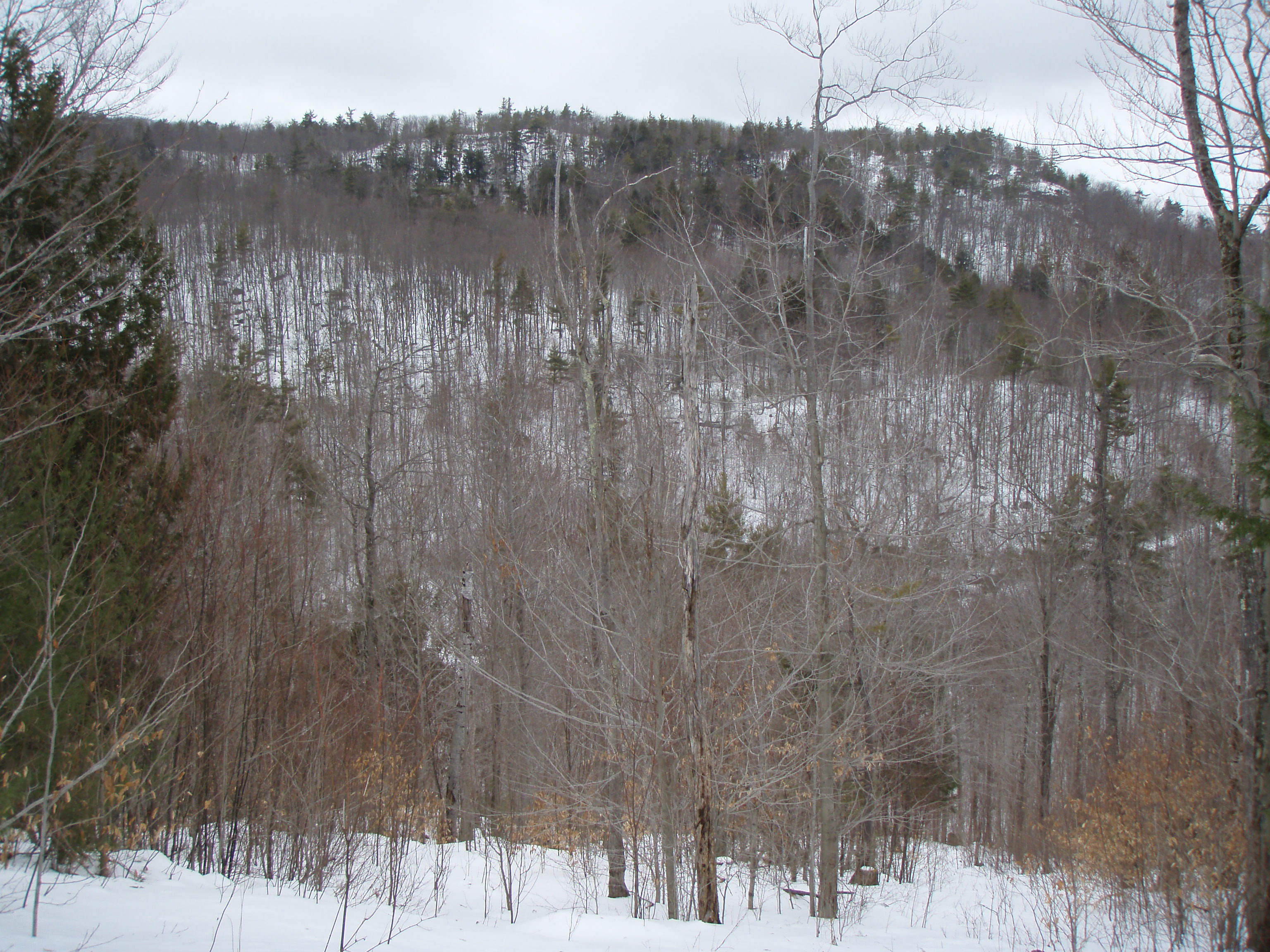
View North from Little Baldy
Heron Rookery as viewed from Phoebes Nable

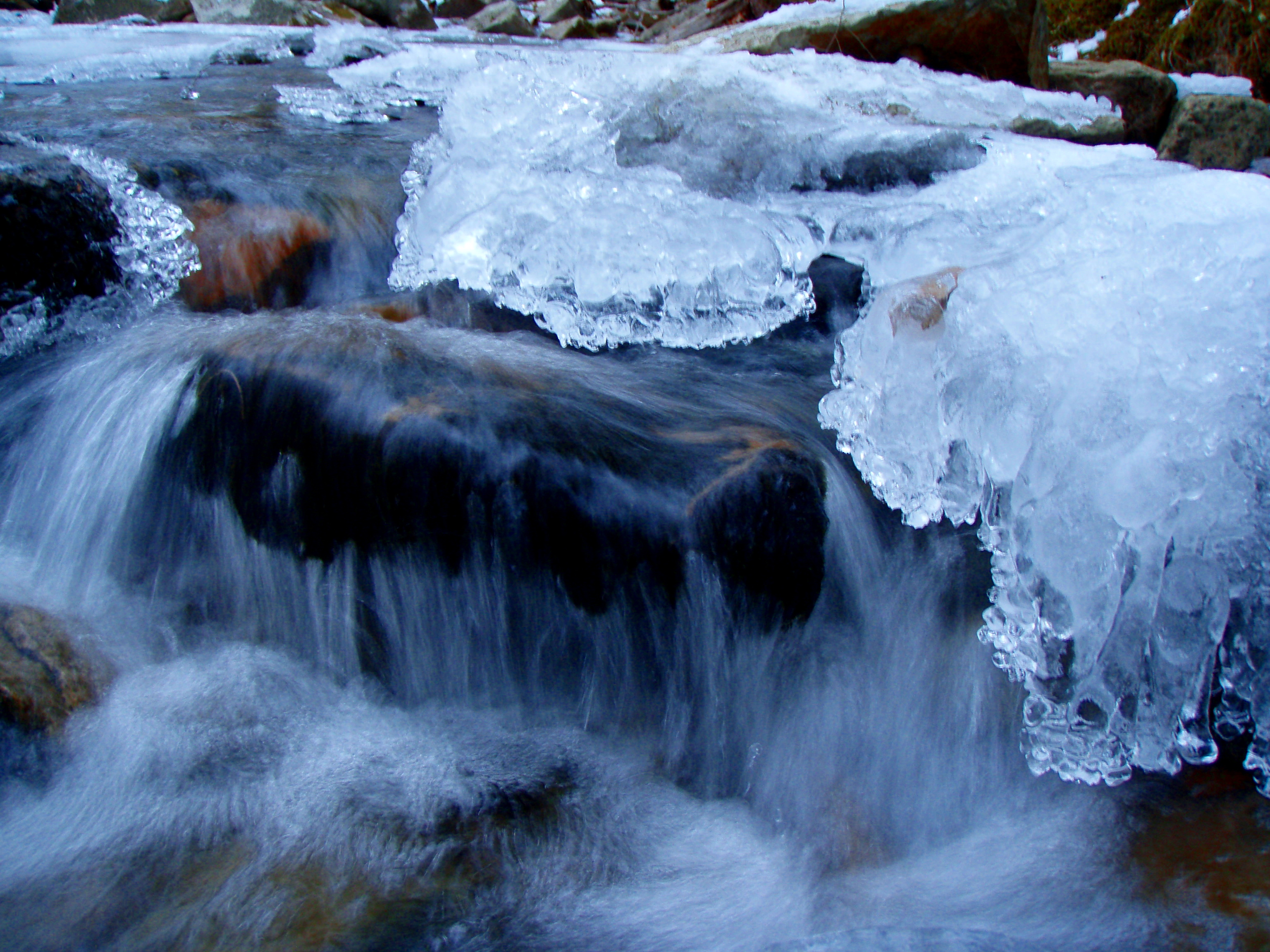
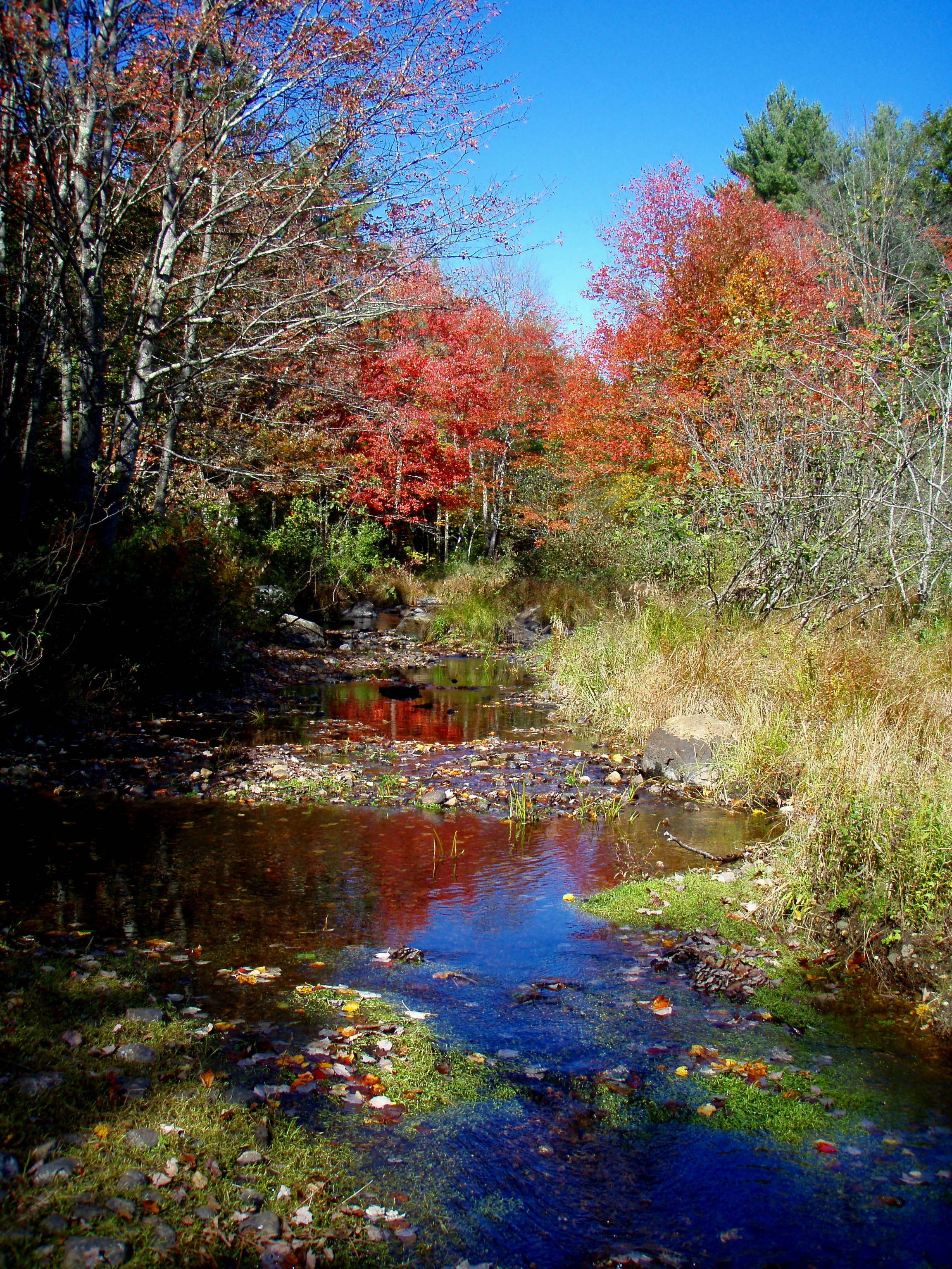
An Icy Burrows Brook

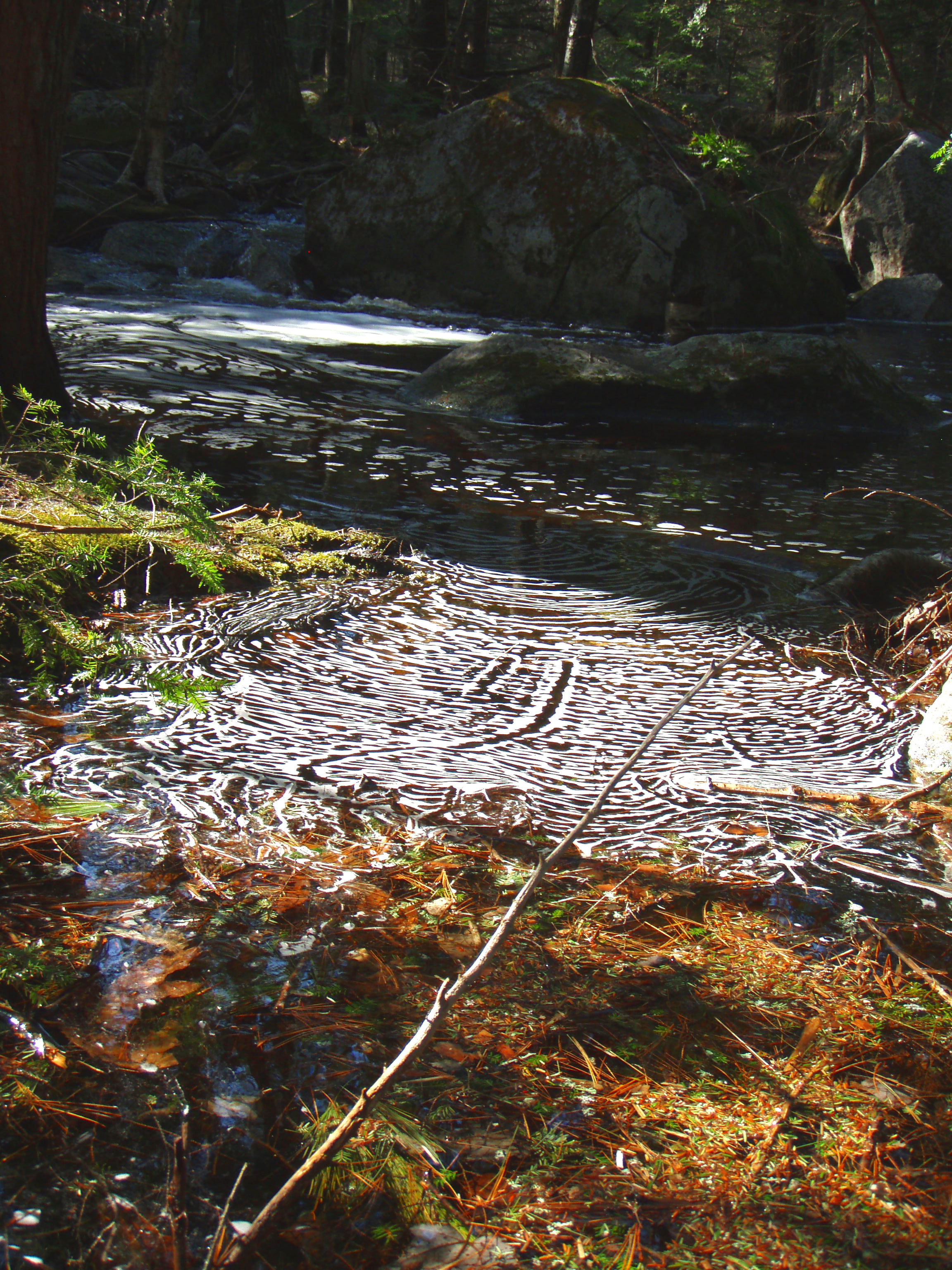
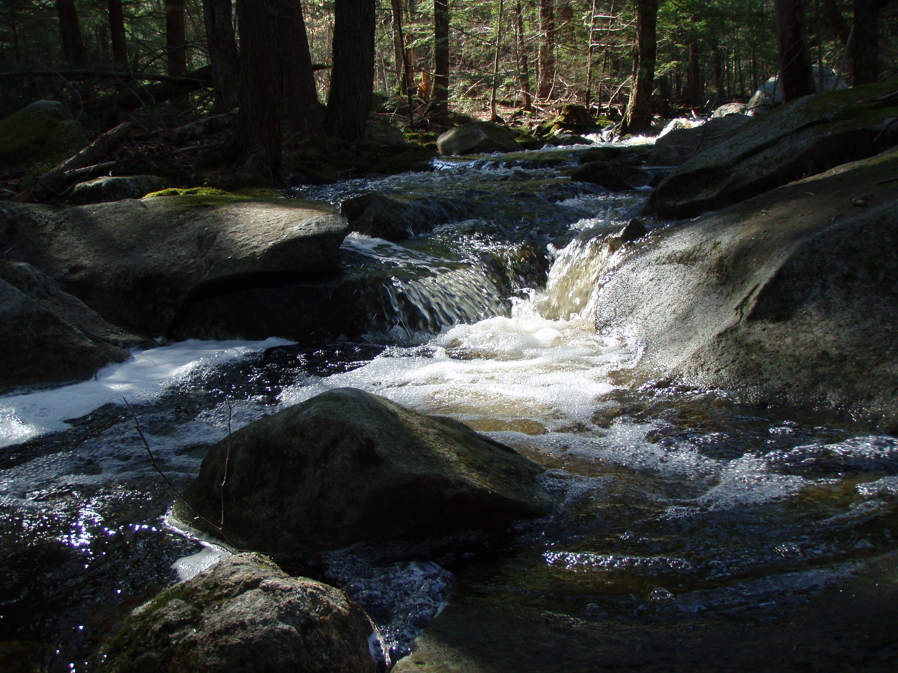
Burrows brook
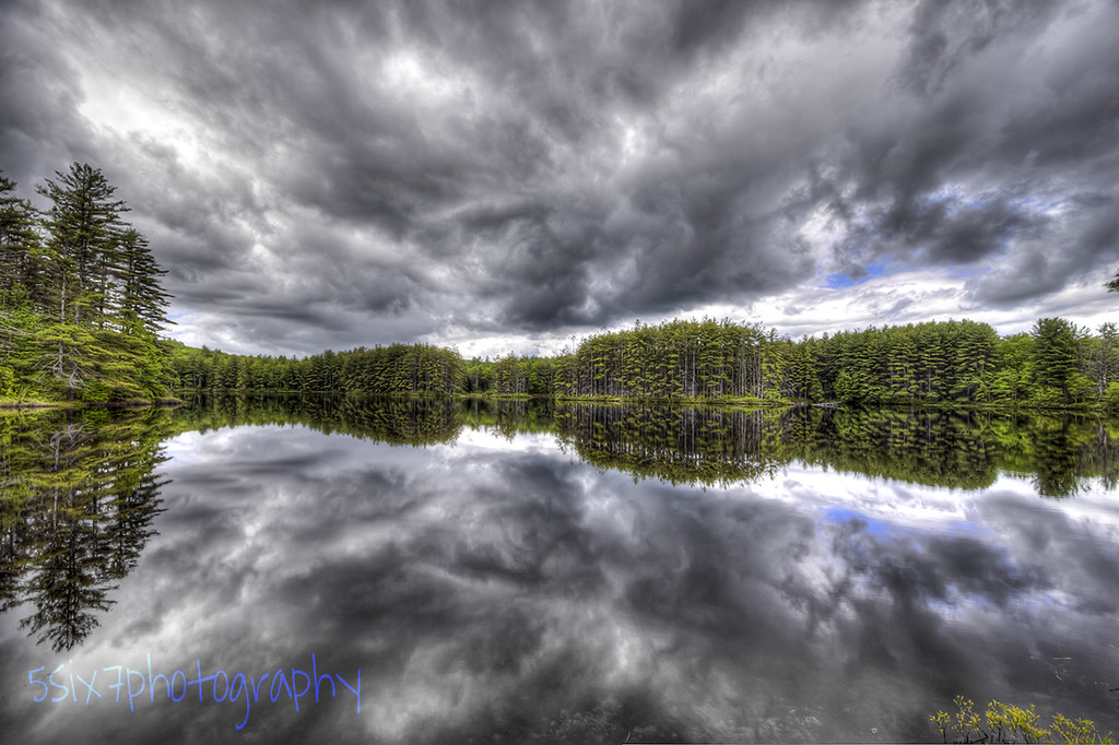
Cold Front HDR
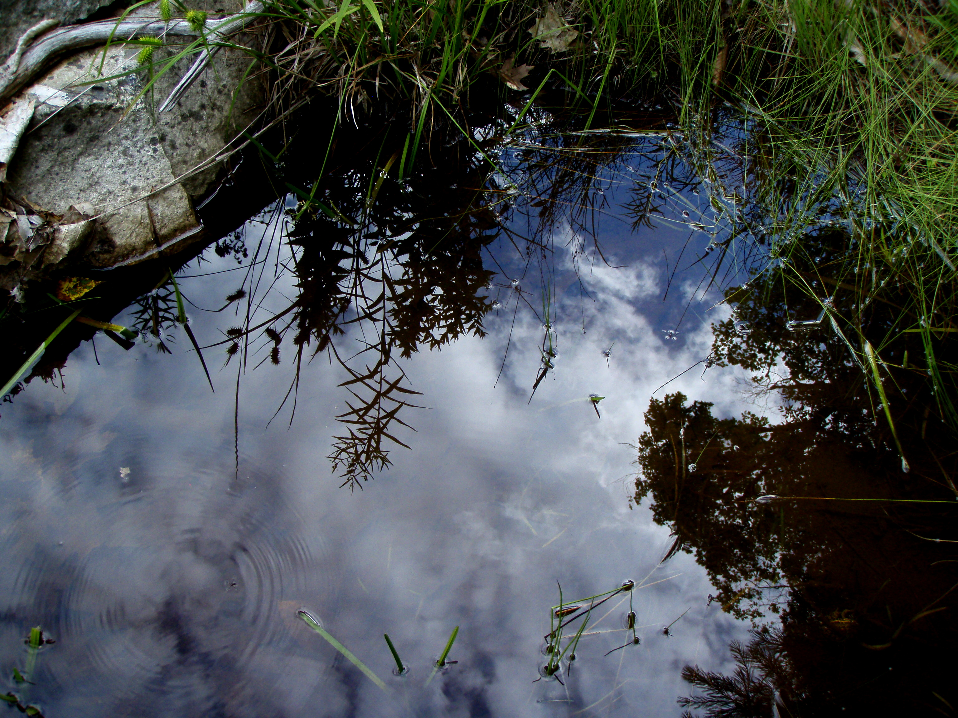
Reflection in a pool
Berry's River
An shiny Burrows Farm Trail

Aphrodite Fratillary
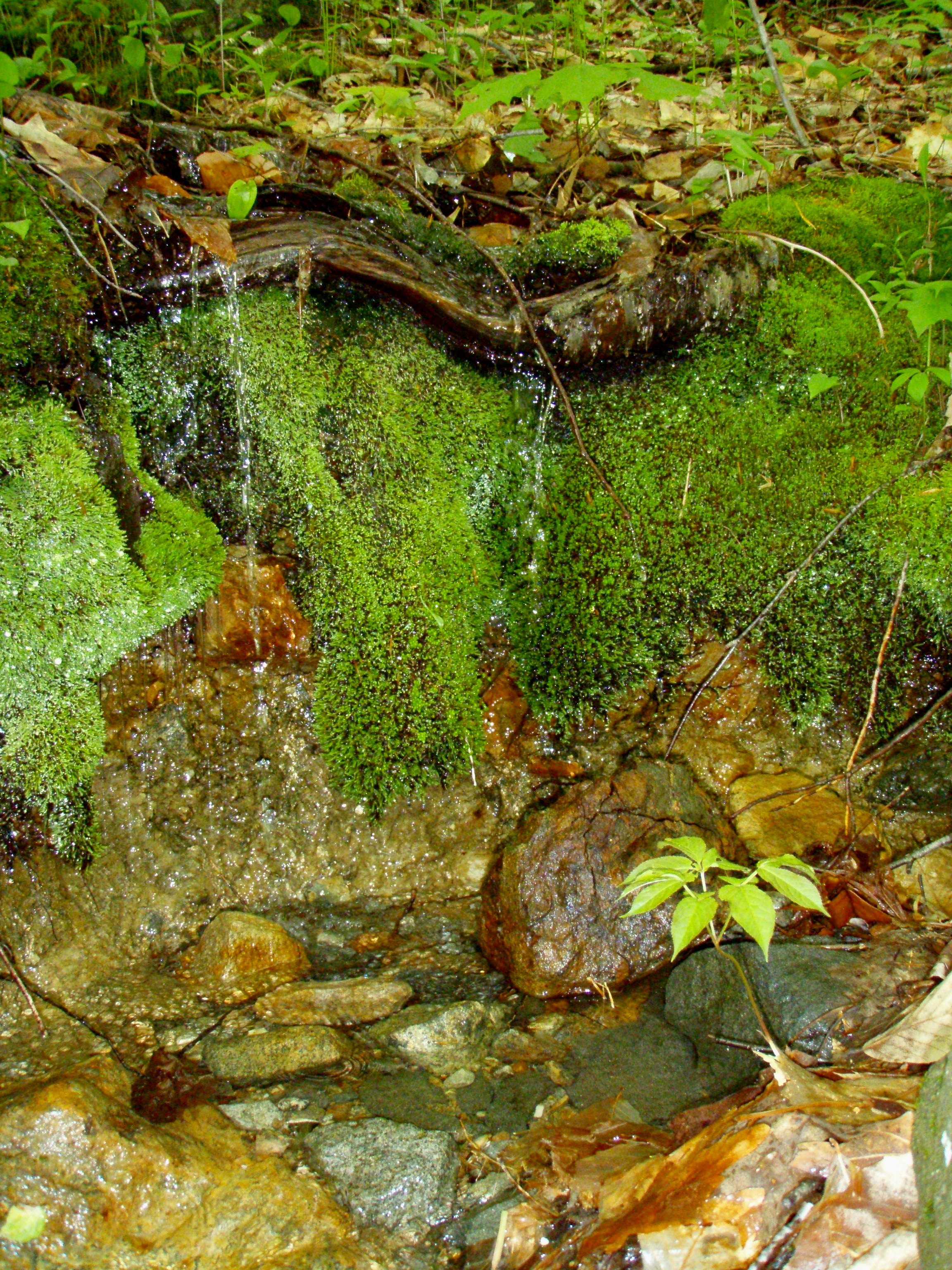
A Mossy Trickle
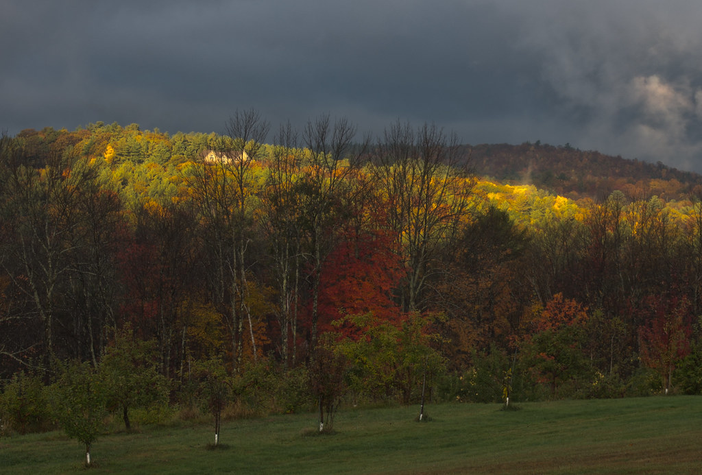
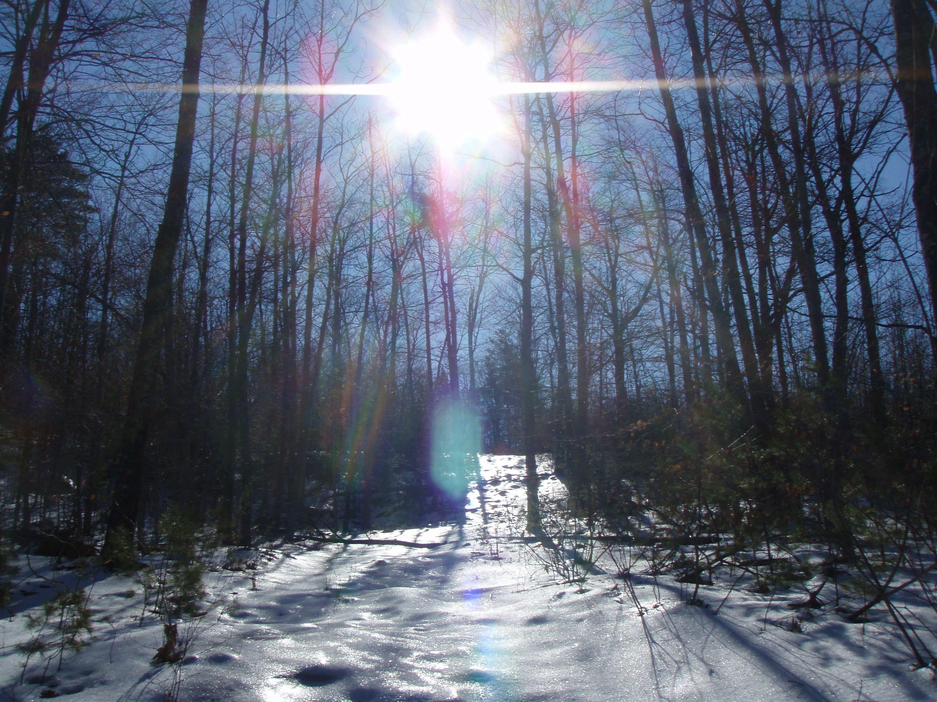
Sun on the hill
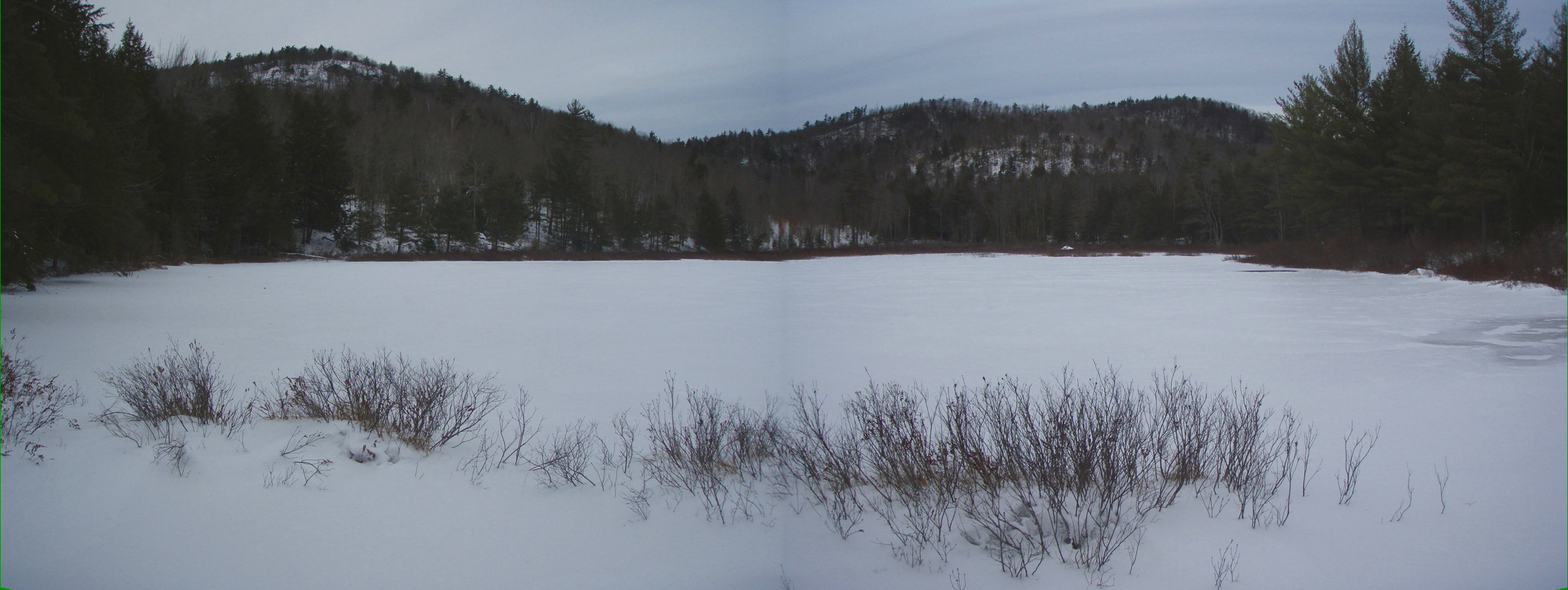
Bowser Pond 1.16.12 (pano)

Burrows Brook

Burrows Field

An Icy Burrows Brook
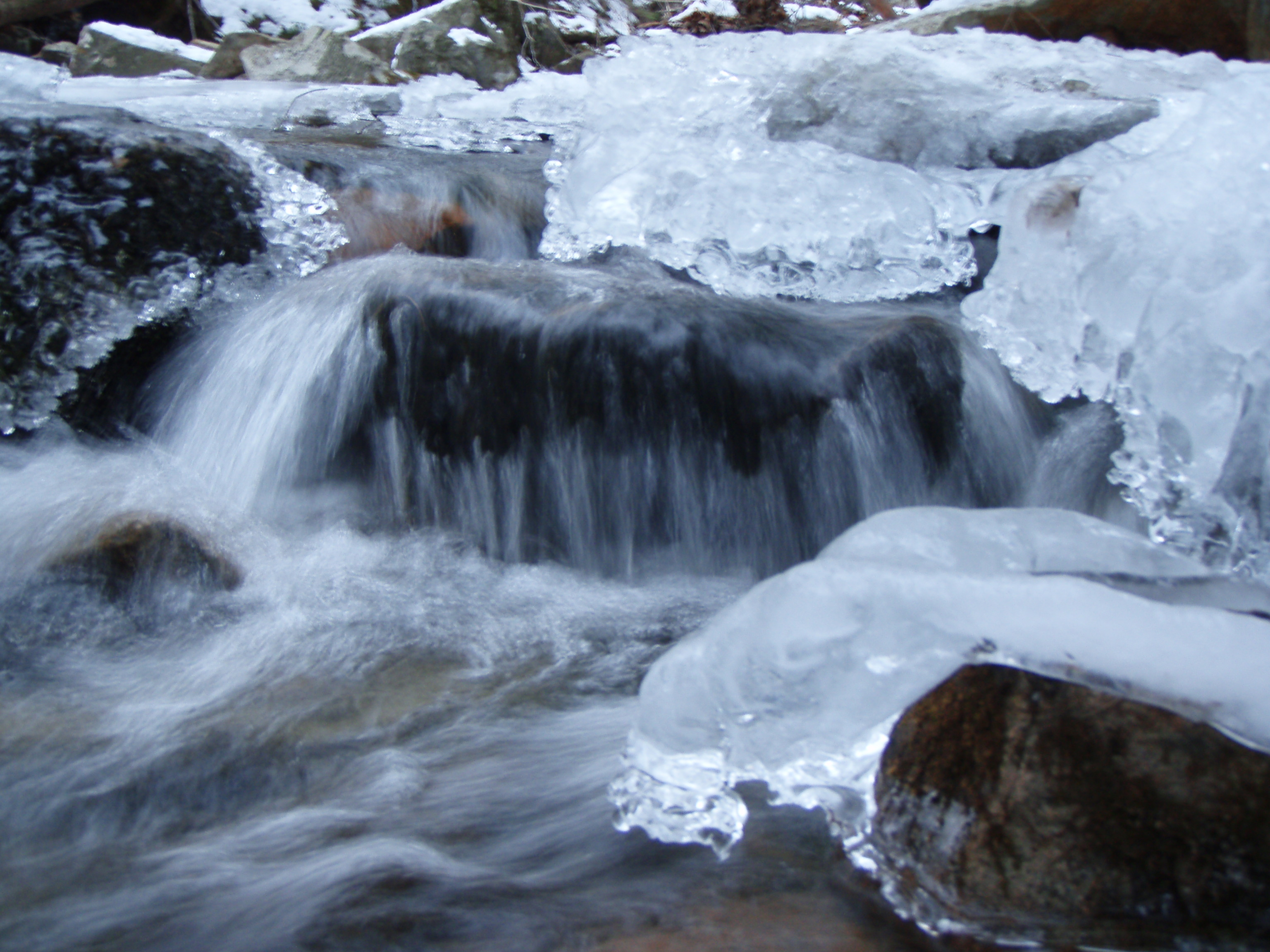
An Icy Burrows Brook

Berry's River
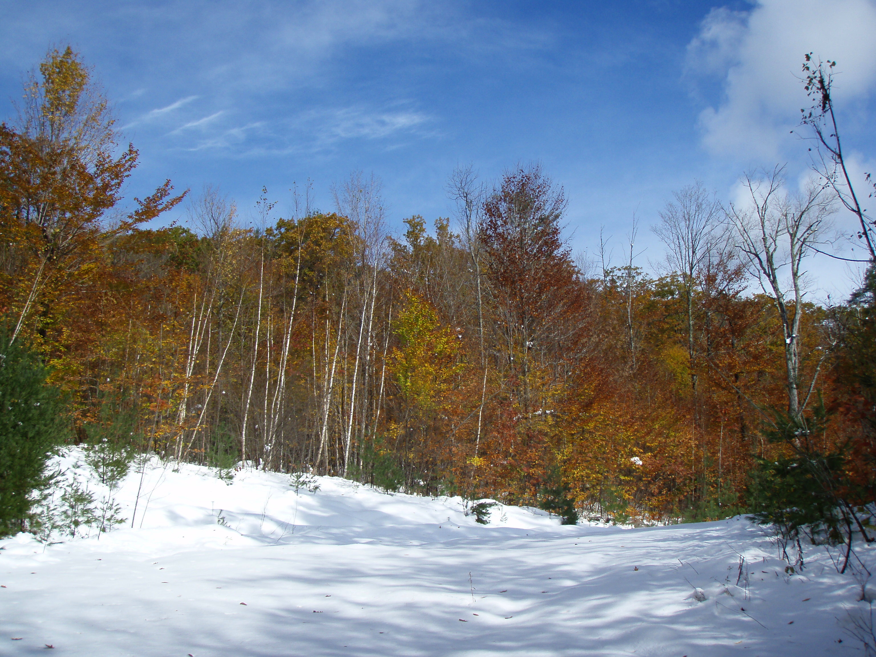
Foliage along Burrows Farm trail
Beauty Knob
An Icy Burrows Brook
Berry's River
Reflective Foliage
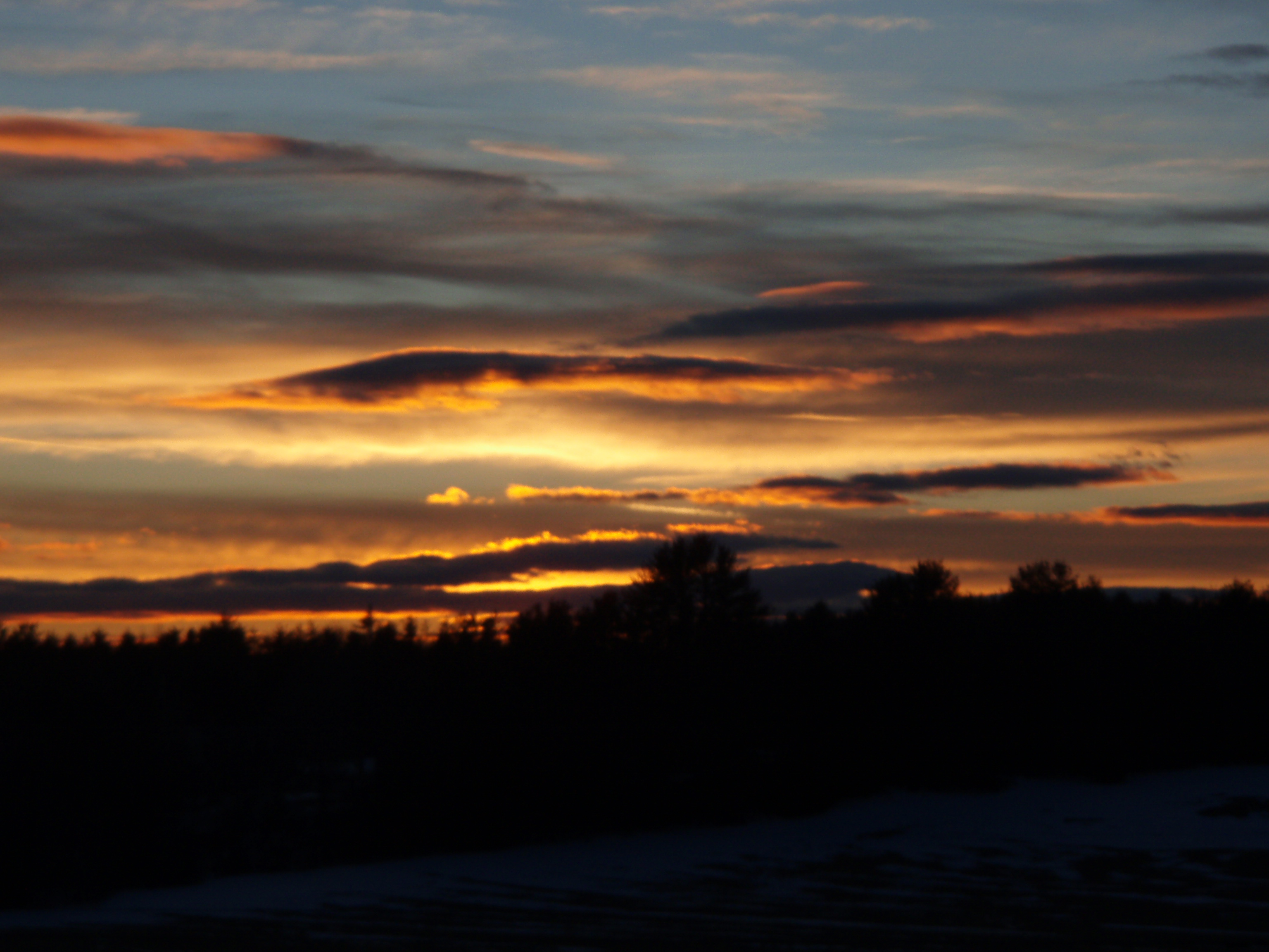
2/15/10 Sunset from Gonic, NH
Topographic Map of 29 Dawson St, Milton, NH, USA
Find elevation by address:

Places near 29 Dawson St, Milton, NH, USA:
43 Prospect Hill Rd
318 Orrills Hill Rd
310 Orrills Hill Rd
Mckeagney Road
Richards Way
Richards Way
151 Sam Wentworth Rd
Shapleigh Rd, Lebanon, ME, USA
33 Riverlawn Ave
Merchants Row
Lebanon
Laverne Lane
22 Laverne Lane
6 Merchants Row
6 Merchants Row
6 Merchants Row
221 Salmon Falls Rd
48 Monadnock Dr
59 Mills Rd
21 Patton St
Recent Searches:
- Elevation map of Greenland, Greenland
- Elevation of Sullivan Hill, New York, New York, 10002, USA
- Elevation of Morehead Road, Withrow Downs, Charlotte, Mecklenburg County, North Carolina, 28262, USA
- Elevation of 2800, Morehead Road, Withrow Downs, Charlotte, Mecklenburg County, North Carolina, 28262, USA
- Elevation of Yangbi Yi Autonomous County, Yunnan, China
- Elevation of Pingpo, Yangbi Yi Autonomous County, Yunnan, China
- Elevation of Mount Malong, Pingpo, Yangbi Yi Autonomous County, Yunnan, China
- Elevation map of Yongping County, Yunnan, China
- Elevation of North 8th Street, Palatka, Putnam County, Florida, 32177, USA
- Elevation of 107, Big Apple Road, East Palatka, Putnam County, Florida, 32131, USA
- Elevation of Jiezi, Chongzhou City, Sichuan, China
- Elevation of Chongzhou City, Sichuan, China
- Elevation of Huaiyuan, Chongzhou City, Sichuan, China
- Elevation of Qingxia, Chengdu, Sichuan, China
- Elevation of Corso Fratelli Cairoli, 35, Macerata MC, Italy
- Elevation of Tallevast Rd, Sarasota, FL, USA
- Elevation of 4th St E, Sonoma, CA, USA
- Elevation of Black Hollow Rd, Pennsdale, PA, USA
- Elevation of Oakland Ave, Williamsport, PA, USA
- Elevation of Pedrógão Grande, Portugal