Elevation of 27 Bullocksville Park Rd, Manson, NC, USA
Location: United States > North Carolina > Vance County >
Longitude: -78.3102
Latitude: 36.459333
Elevation: 141m / 463feet
Barometric Pressure: 100KPa
Elevation Map:
Satellite Map:
Related Photos:
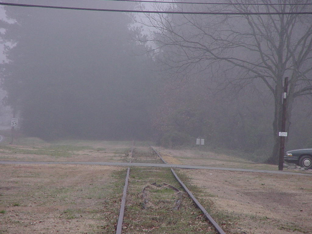
Rails to the oblivion time portal

Abandoned Seaboard in Norlina

Lesser Black-backed Gull (front) with Ring-billed Gull (2.9.15)
NOPA, Tailrace Park, Mecklenburg Co., VA, 31 Jan 2013
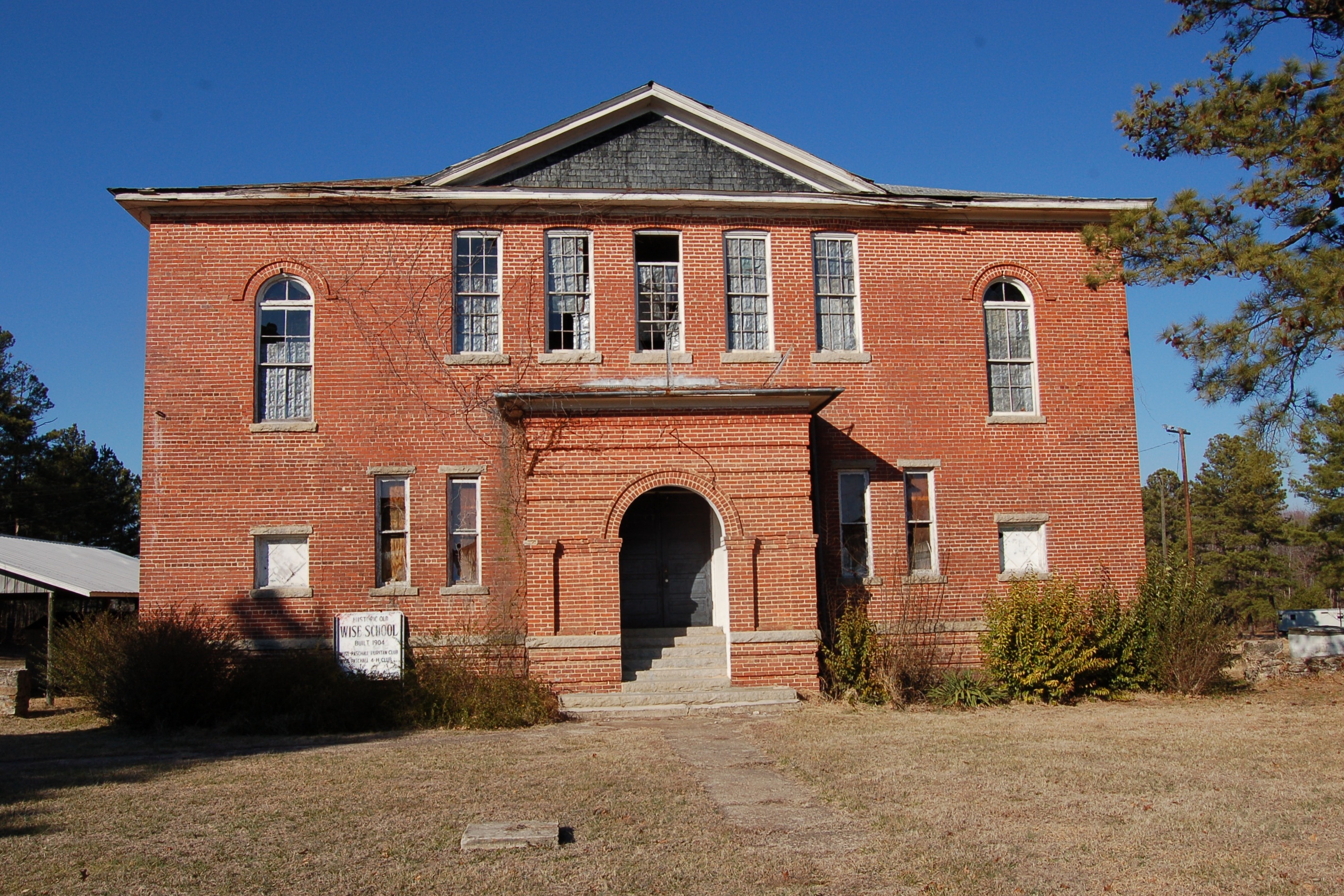
North Carolina, Wise, Wise School (931b)
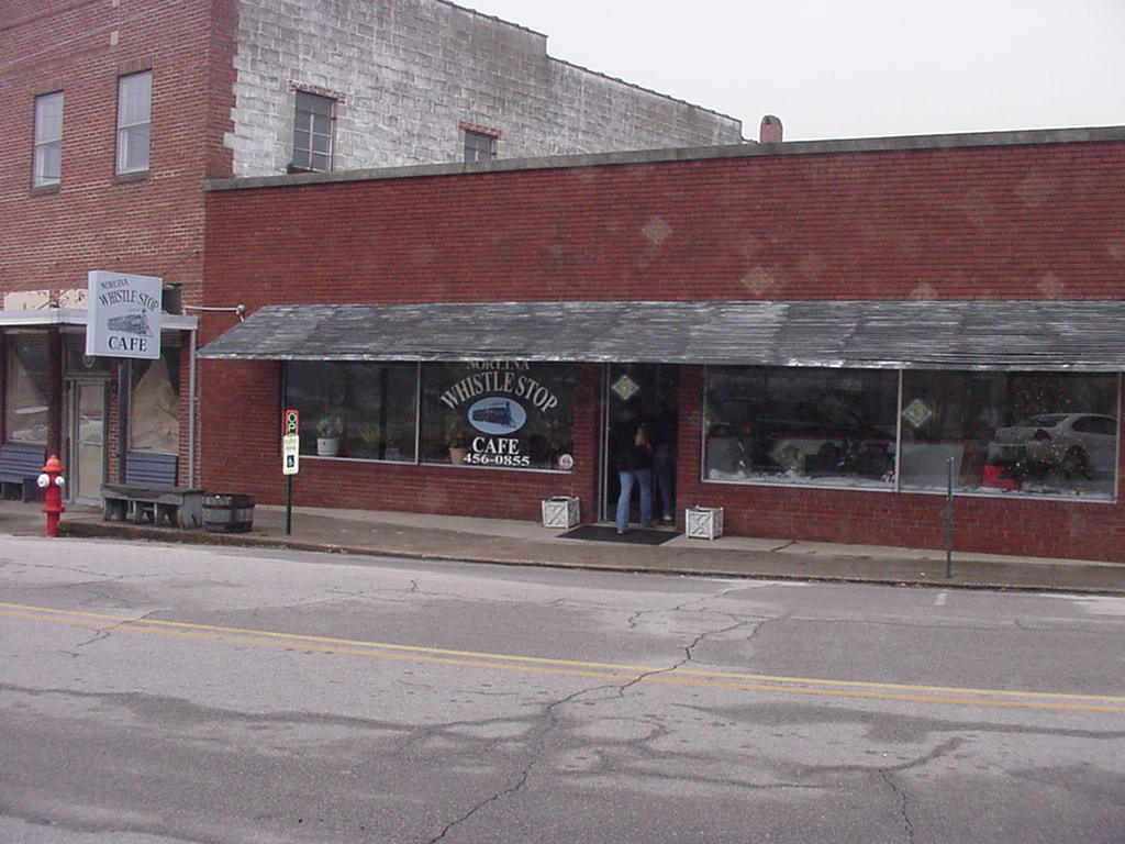
Whistle Stop Cafe
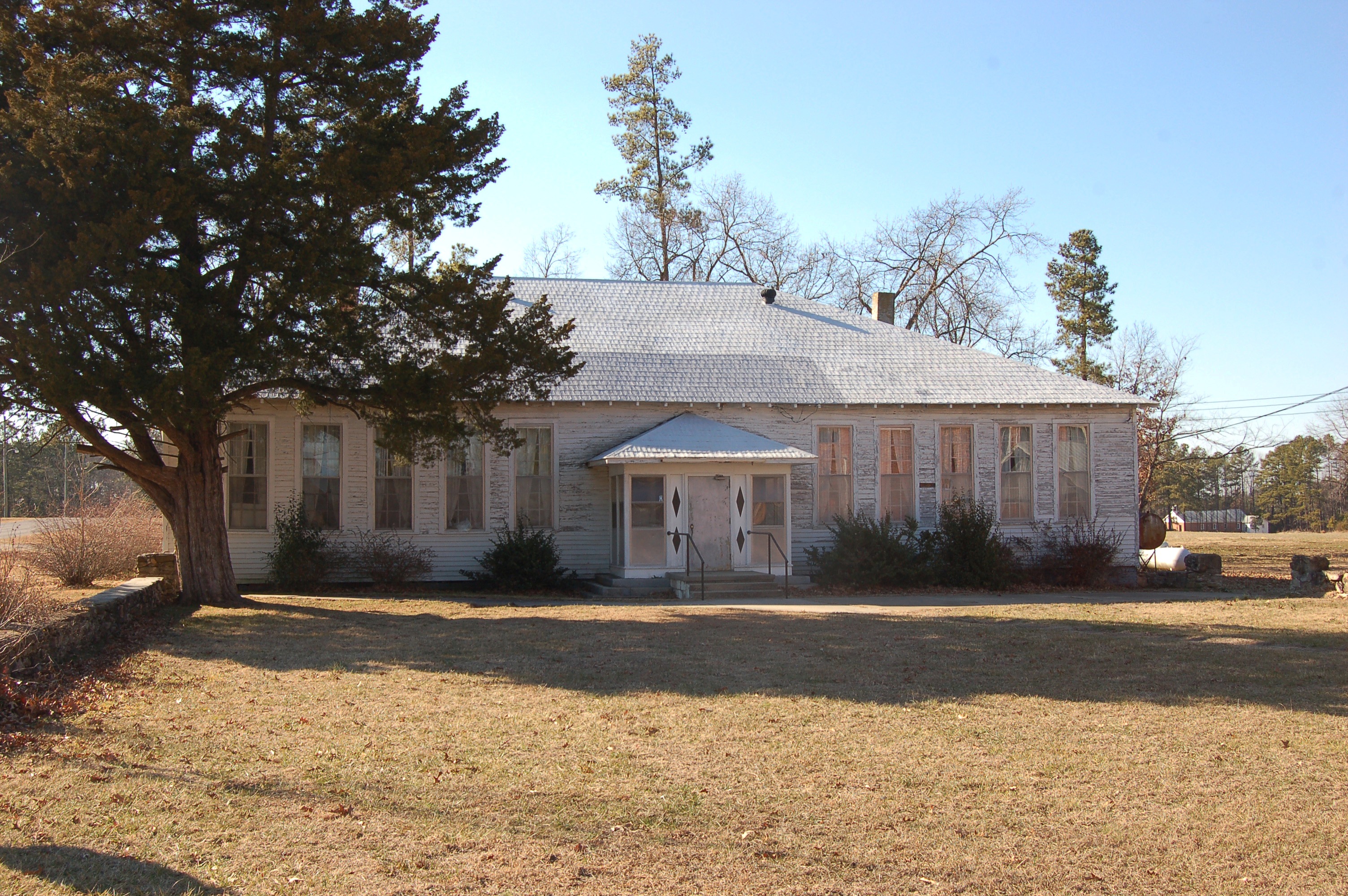
North Carolina, Wise, Wise School (931c)
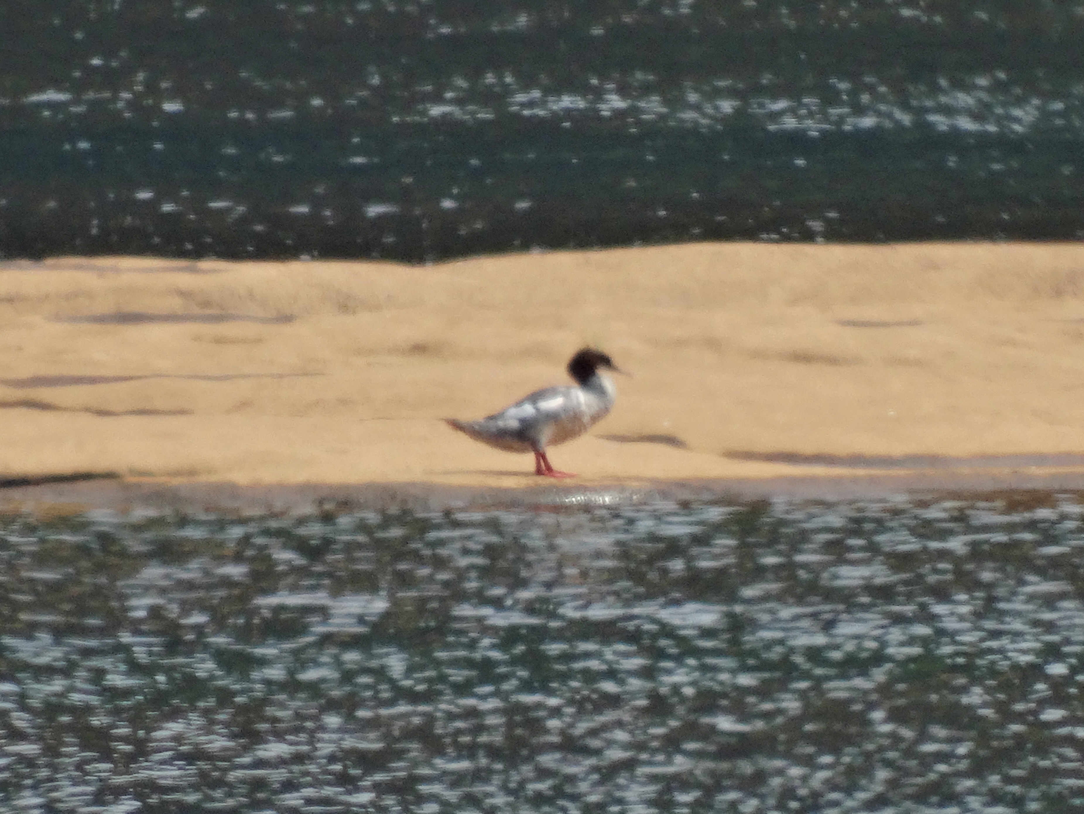
Common Merganser (9.2.15)
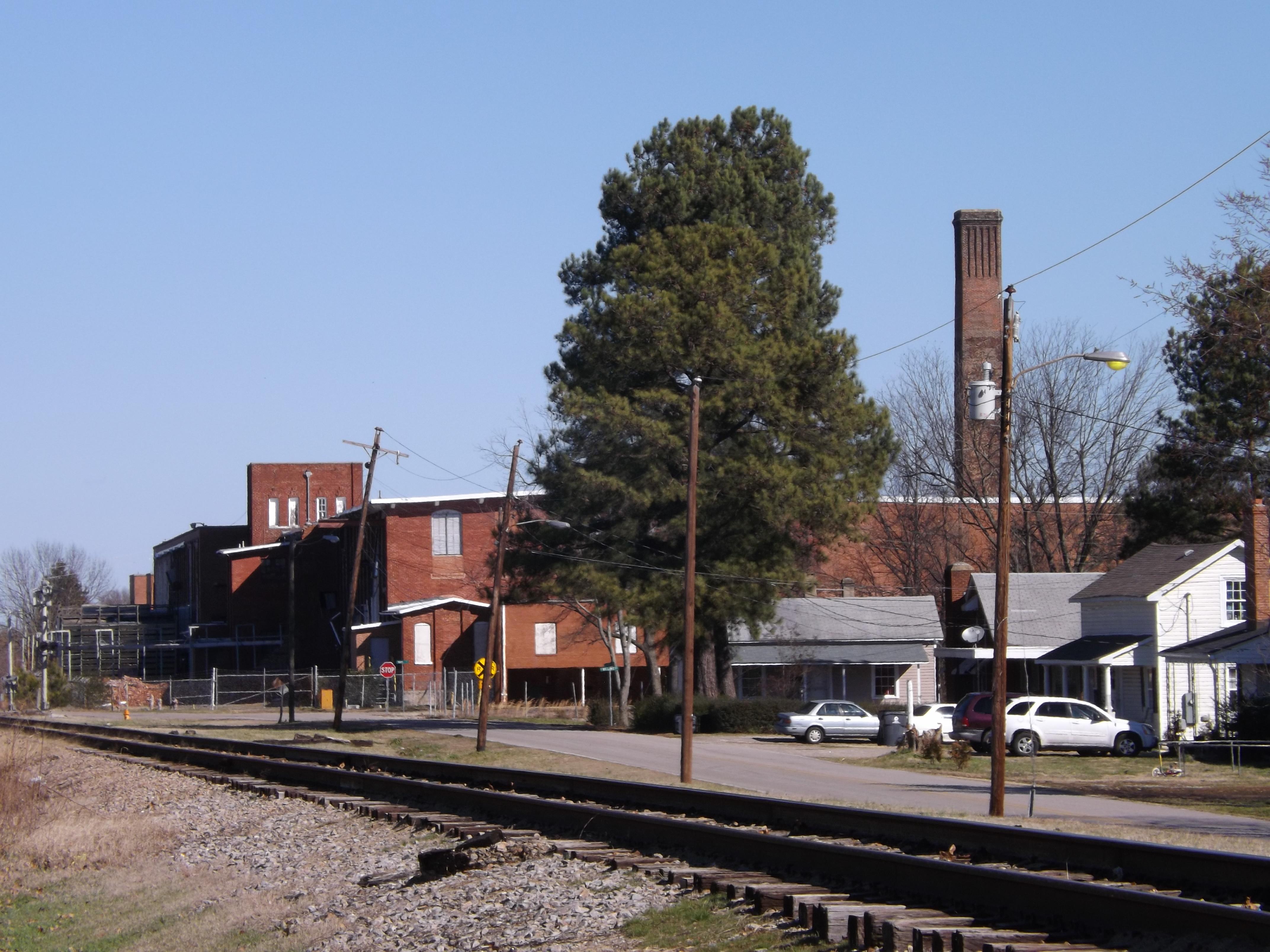
Former Henderson NC Cotton Mill

#seniorpictures #nietophotography #rip softbox
IMG_0186.JPG

17 Kerr Lake SP NC 9240

2013-01-04 13.08.44
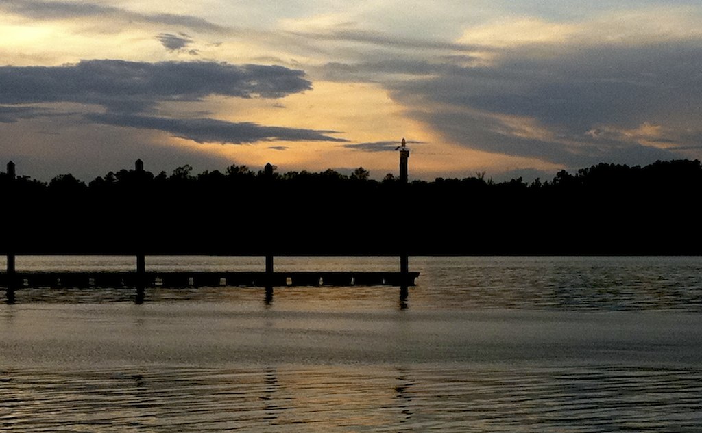
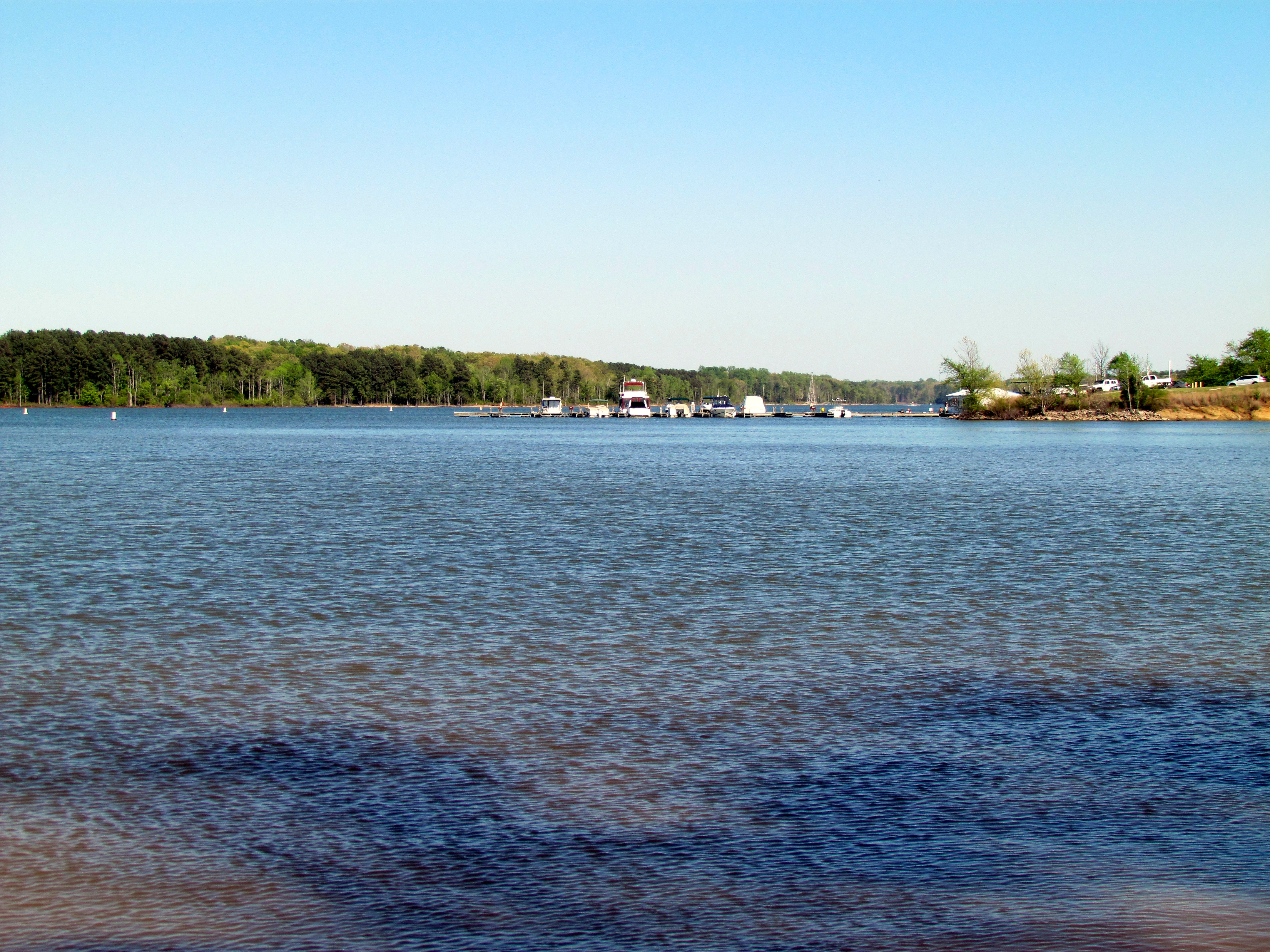
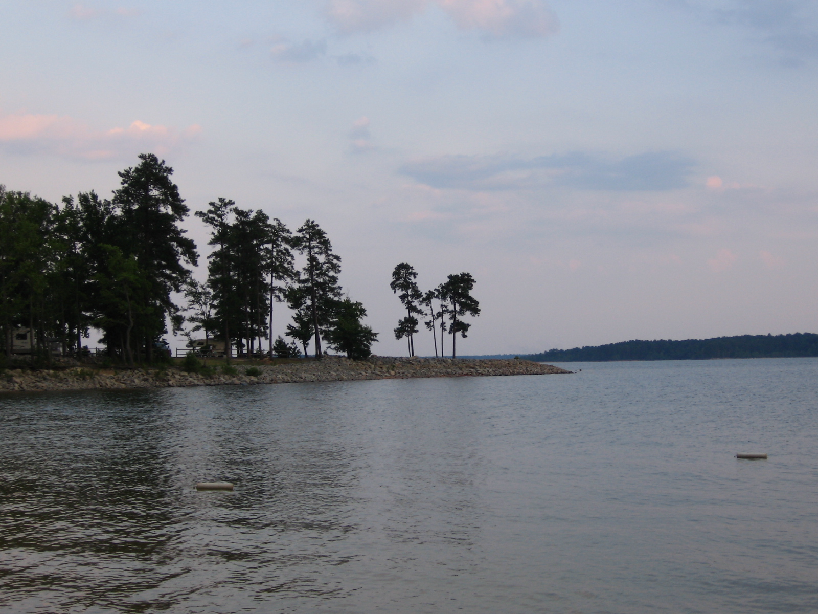
Kerr Lake, North Carolina
Kerr Lake

Getting Air on Tubes at the Lake

Greystone Quarry

12 Kerr Lake SP NC 9234
13 Kerr Lake SP NC 9235
23 Kerr Lake SP NC 9246
20 Kerr Lake SP NC 9243
IMG_0185.JPG

Kerr Dam (2.9.15)
IMG_0183.JPG
DOVOLENA 2014 2170
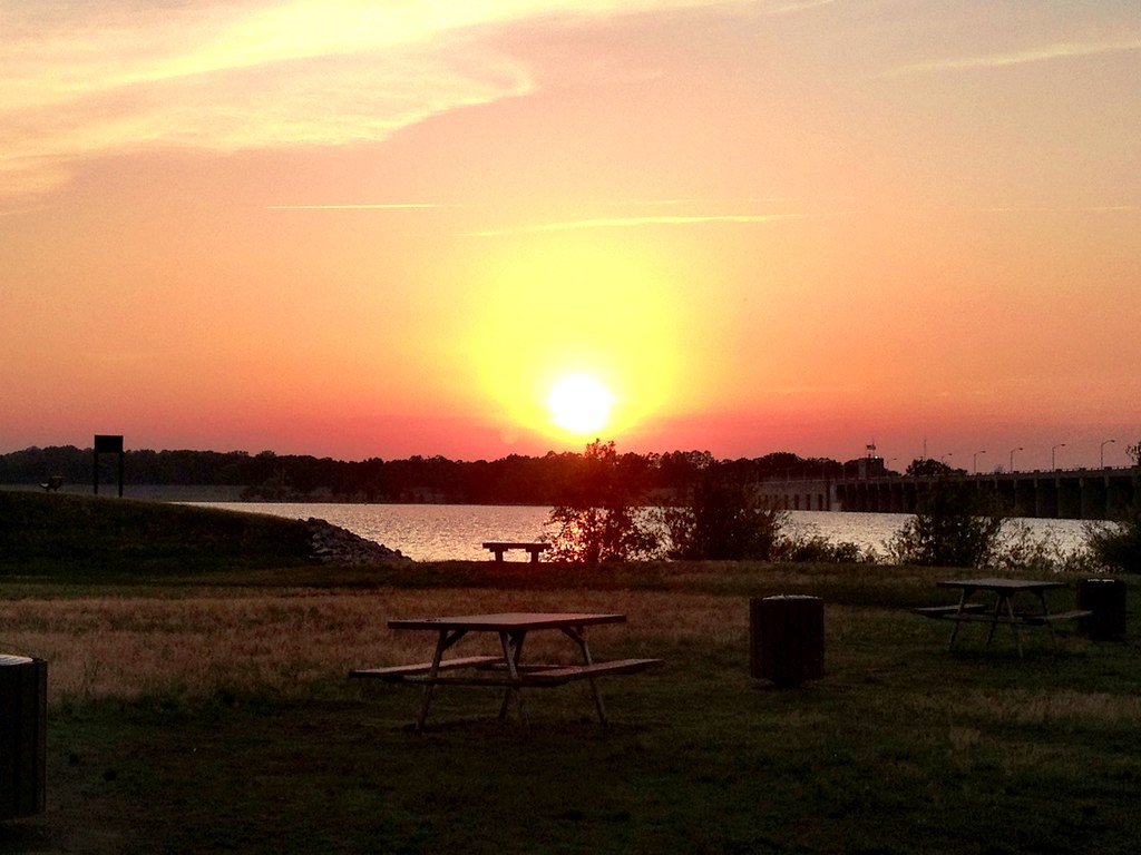
photo.JPG

DOVOLENA 2014 2182

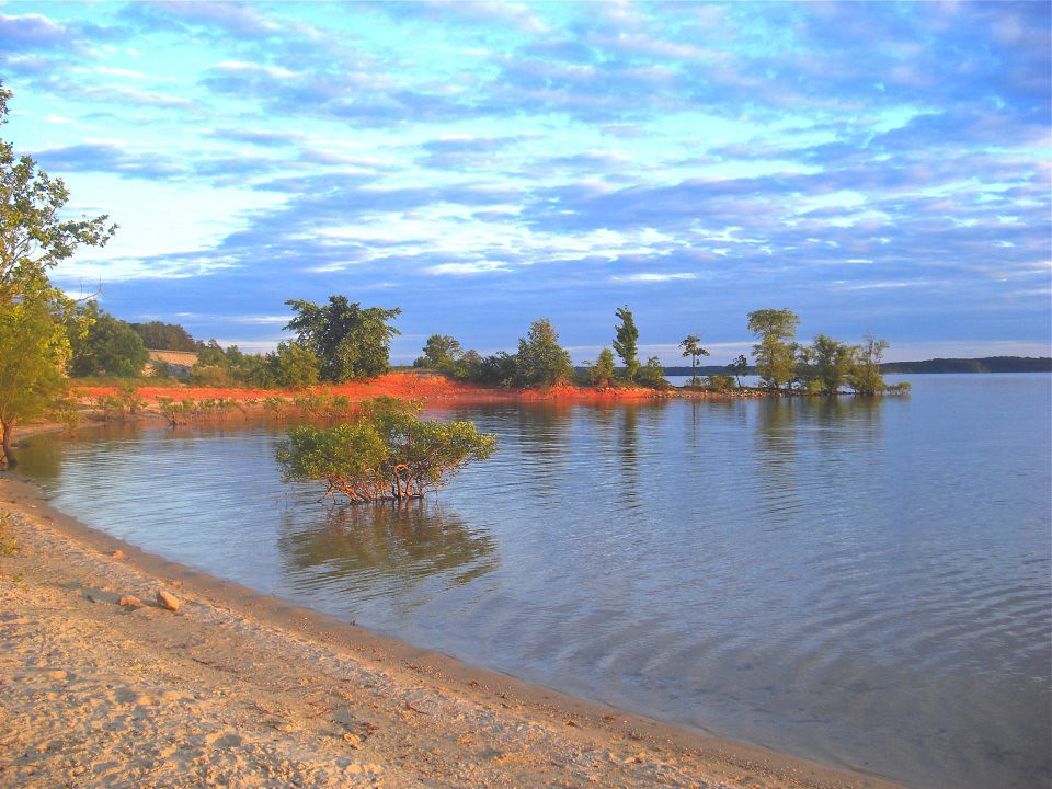
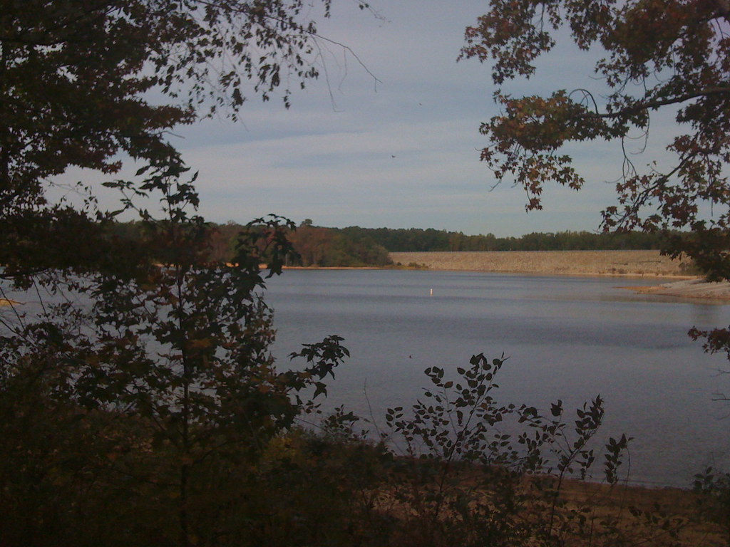
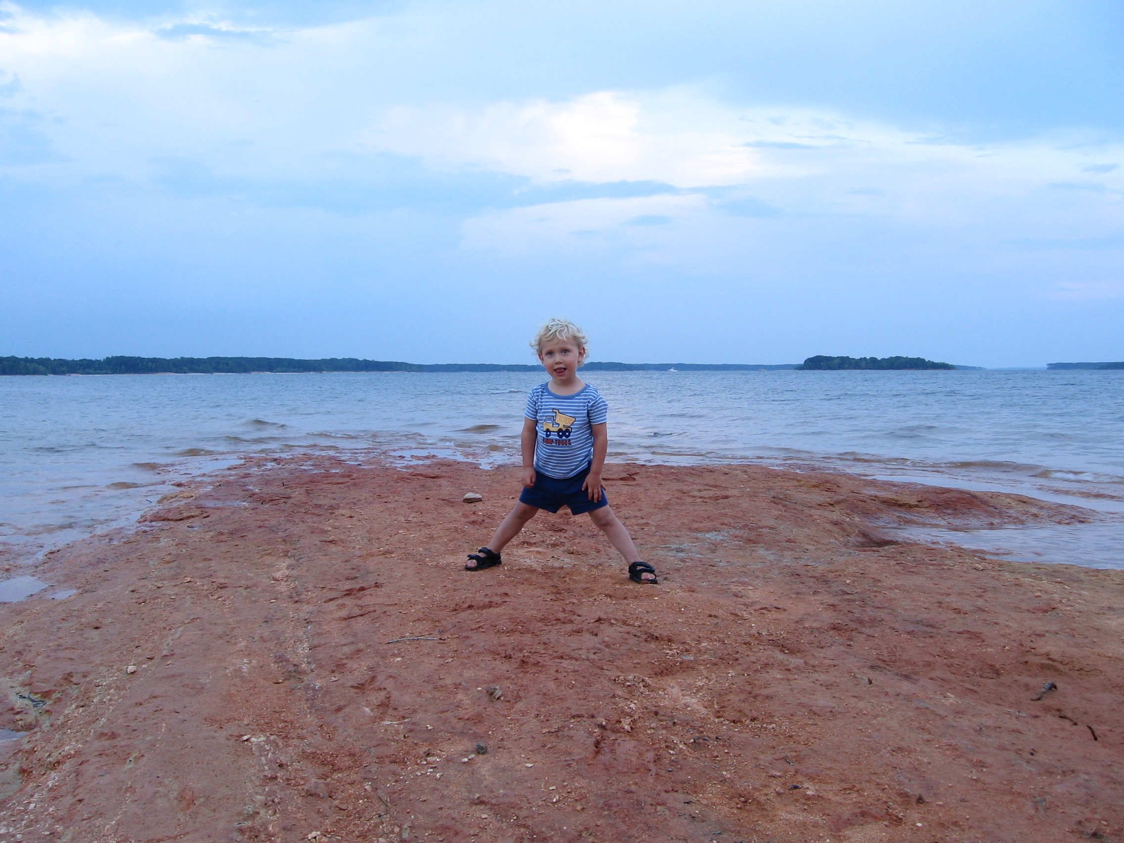
Kerr Lake Island at low water
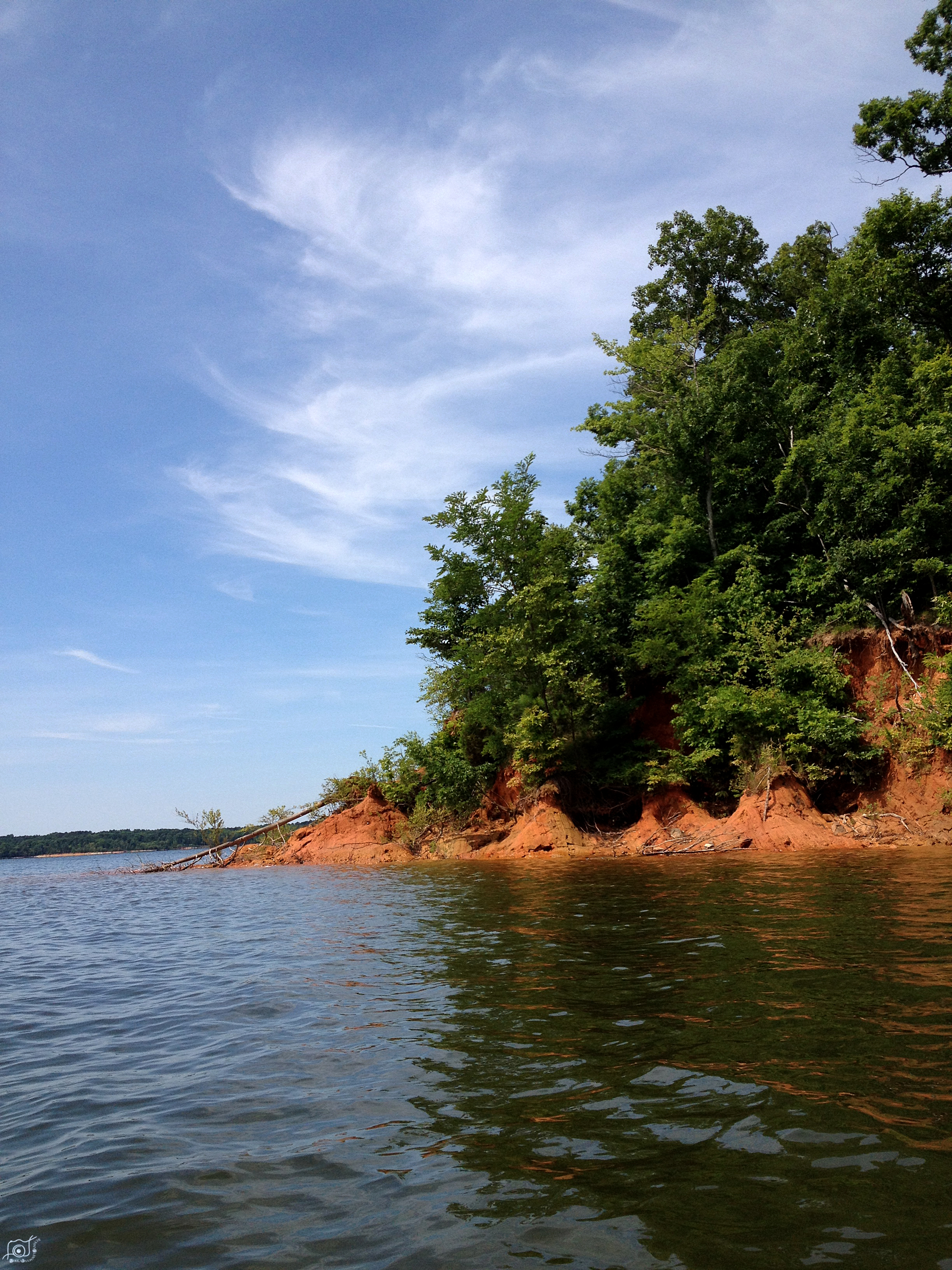
Another picture of the Point.
None Shall Pass
Topographic Map of 27 Bullocksville Park Rd, Manson, NC, USA
Find elevation by address:

Places near 27 Bullocksville Park Rd, Manson, NC, USA:
Middleburg
12 Frank Bullock Rd, Manson, NC, USA
1210 Cedar Cove Rd
Nutbush
Manson
4 Keats Point Rd, Manson, NC, USA
82 Fairview Dr
Pool Rock Shores Lane
Brookston Rd, Henderson, NC, USA
1339 Epps Fork Rd
Epps Fork Road
Pool Rock Road
Williamsboro
Stewart Farn Road
750 State Rd 1129
750 State Rd 1129
750 State Rd 1129
447 Ponderosa Ln
447 Ponderosa Ln
US-1, Norlina, NC, USA
Recent Searches:
- Elevation of Corso Fratelli Cairoli, 35, Macerata MC, Italy
- Elevation of Tallevast Rd, Sarasota, FL, USA
- Elevation of 4th St E, Sonoma, CA, USA
- Elevation of Black Hollow Rd, Pennsdale, PA, USA
- Elevation of Oakland Ave, Williamsport, PA, USA
- Elevation of Pedrógão Grande, Portugal
- Elevation of Klee Dr, Martinsburg, WV, USA
- Elevation of Via Roma, Pieranica CR, Italy
- Elevation of Tavkvetili Mountain, Georgia
- Elevation of Hartfords Bluff Cir, Mt Pleasant, SC, USA