Elevation of 26 High Ridge Ln, Philippi, WV, USA

Location: United States > West Virginia > Barbour County > North > Philippi >

Longitude: -80.037878

Latitude: 39.099914

Elevation: 564m / 1850feet

Barometric Pressure: 95KPa

Elevation Map:

elevation map of 26 High Ridge Ln, Philippi, WV, USA

Satellite Map:

Satellite map of 26 High Ridge Ln, Philippi, WV, USA

Related Photos:

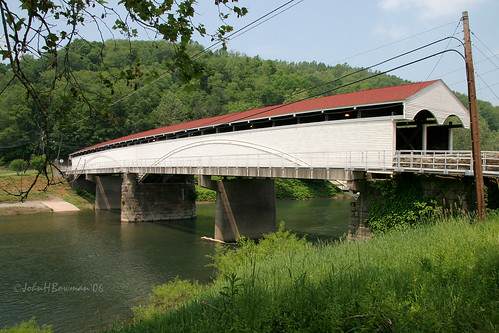
may 2006 westvirginia coveredbridges philippi riversandstreams barbourcounty nrhp may2006 tygartvalleyriver westvirginiacoveredbridges philippibridge doublebarrelbridges burrarchtrussvariant
Philippi Covered Bridge - West Virginia
county red west barn fence virginia photo pentax farm scenic picture wv cupola buckhannon upsher k10d hodgesville 2879ed1
Red barn -- Upsher County, West Virginia (#2)
county trees red west clouds barn fence virginia photo pentax farm scenic picture wv cupola buckhannon upsher k10d hodgesville 2875ed1
Red barn -- Upsher County, West Virginia (#1)
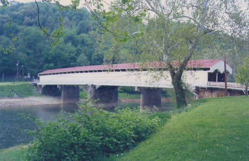
westvirginia coveredbridge philippi barbourcounty
Philippi Covered Bridge
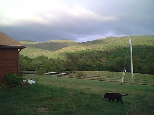
On the hill
wv westvirginia swamp wetlands pleasantcreek barbourcounty taylorcounty
WV Wetlands
usa canonef1635mmf28liiusm canoneos5dmarkii bw82mmkaesemanncircularpolarizerwithmultiresistantcoati optekacfm300carbonfibermonopodwithbenrob1ballhead
Audra State Park
usa unitedstates westvirginia rivers mississippiriver ohioriver monongahelariver buckhannon barbourcounty belington middleforkriver tygartvalleyriver
Middle Fork River Image 3 7-14-2004 Photo
sun river rocks wv audrastatepark
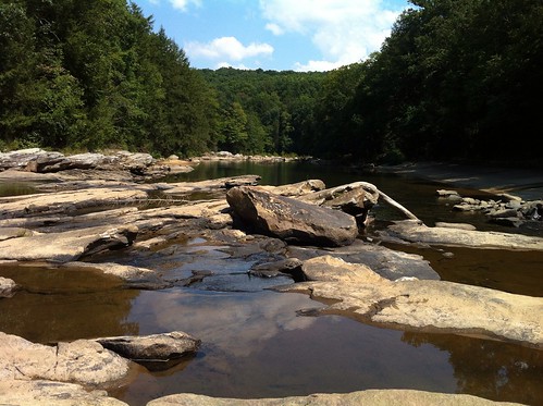
Audra State Park
usa unitedstates westvirginia montrose kirt tetercreeklake tetercreklakewildlifemanagementarea
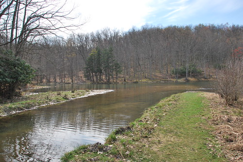
Teter Creek Lake
water
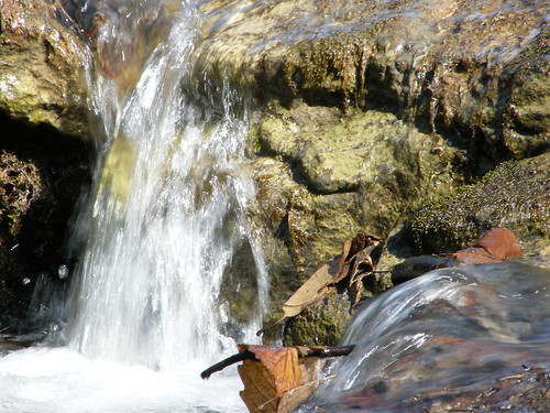
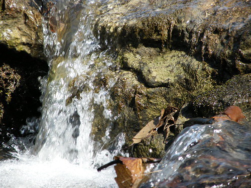
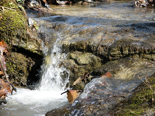
Falling Water 2
water
Falling Water 3
square squareformat iphoneography instagramapp uploaded:by=instagram
#dartmeet #devon #dartmoor #dslr #d80 #nikon #water #waterfall #stream #longexposure
longexposure blackandwhite bw usa water river sigma panoramic falls wv waterfalls moats grafton tygart waterscape philippi blackglass 10stop sigmadp sigmadp2s bw110end301000x
Moats Falls on the Tygart River, just below Arden. (Panorama)
motion green water pine flow wv rhododendron hdr audra
Greens of Autumn
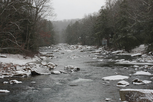
snow woods
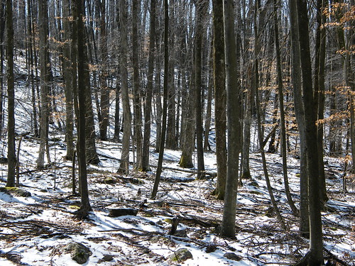
Melting Snow
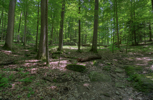
Woods behind my parents' house
Pine needles
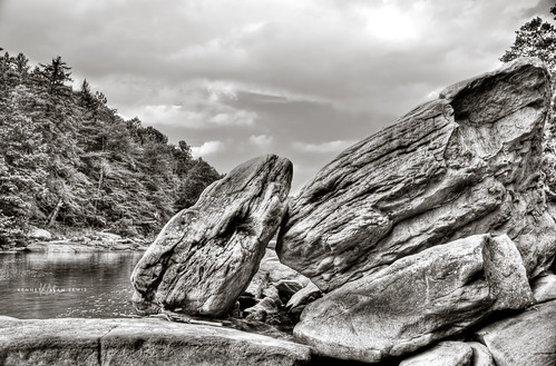
trees nature water forest river woods rocks boulders wv westvirginia hdr tygart
Tygart Valley River Boulders B&W
trees sunset
Sunset Through Trees
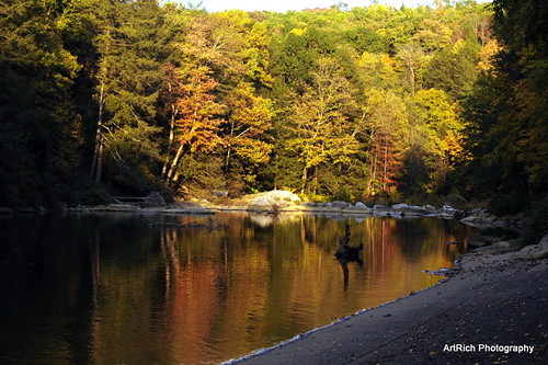
Audra State Park
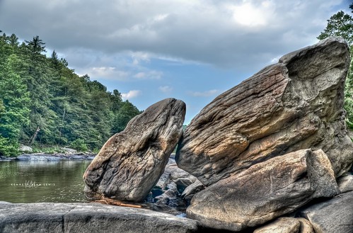
trees nature water forest river woods rocks boulders wv westvirginia hdr tygart
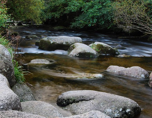
Tygart Valley River Boulders
geocaching
Img1984 06-Dec-08
water
Falling Water 4
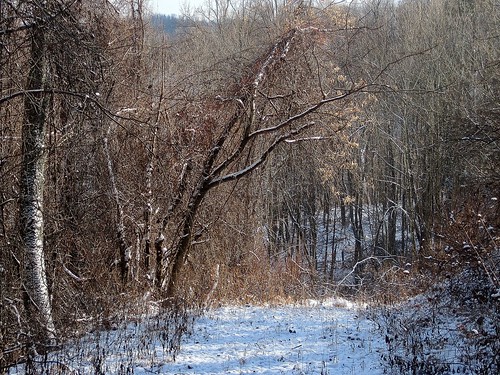
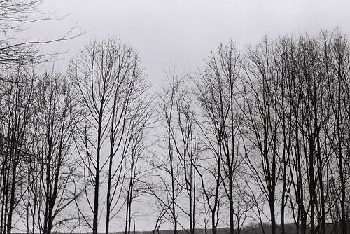
Tree branches
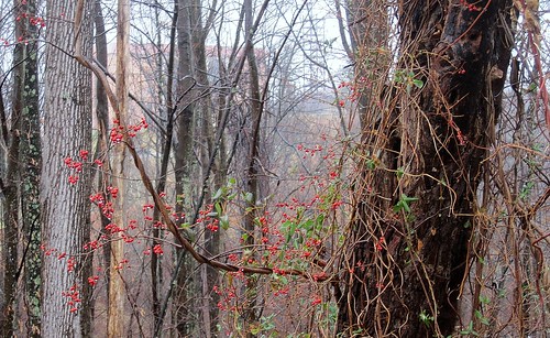
Berries in the woods