Elevation of 24A, Peru
Location: Peru >
Longitude: -74.327026
Latitude: -13.283716
Elevation: 3562m / 11686feet
Barometric Pressure: 65KPa
Elevation Map:
Satellite Map:
Related Photos:
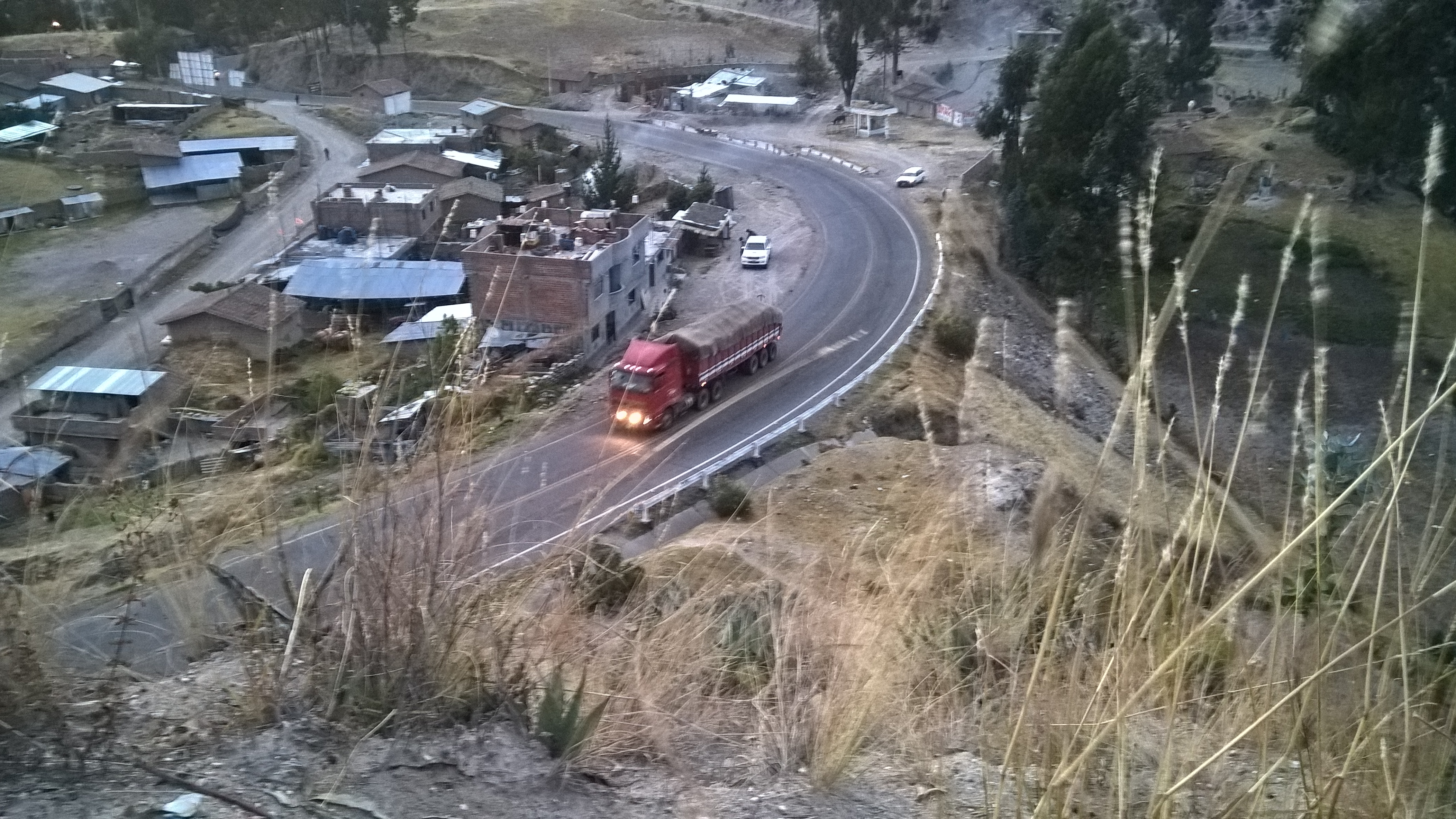

WP_20160628_17_33_55_Rich
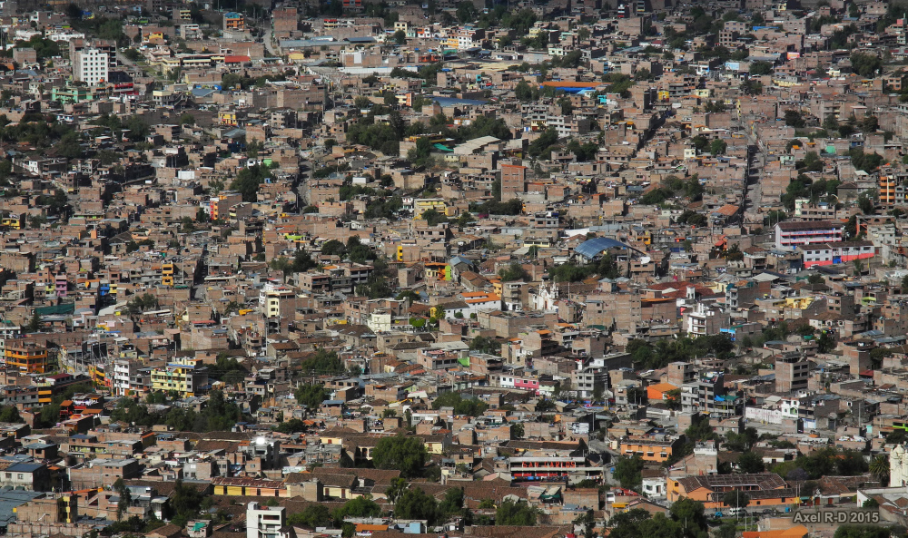
Ayacucho
Ayacucho
Topographic Map of 24A, Peru
Find elevation by address:

Places near 24A, Peru:
Huamanga
Ayacucho
3S, Peru
Luricocha - Huancarumi, Peru
Luricocha District
Luricocha - Tres Esquinas 49, Luricocha, Peru
3S, Peru
Ayacucho
3S, Talavera, Peru
Av Los Sauces, Andahuaylas, Peru
30B, Peru
30B, Peru
30B, Peru
30B, Peru
Andahuaylas Province
Recent Searches:
- Elevation of Corso Fratelli Cairoli, 35, Macerata MC, Italy
- Elevation of Tallevast Rd, Sarasota, FL, USA
- Elevation of 4th St E, Sonoma, CA, USA
- Elevation of Black Hollow Rd, Pennsdale, PA, USA
- Elevation of Oakland Ave, Williamsport, PA, USA
- Elevation of Pedrógão Grande, Portugal
- Elevation of Klee Dr, Martinsburg, WV, USA
- Elevation of Via Roma, Pieranica CR, Italy
- Elevation of Tavkvetili Mountain, Georgia
- Elevation of Hartfords Bluff Cir, Mt Pleasant, SC, USA