Elevation of 24 Golf View Ct, Pawleys Island, SC, USA
Location: United States > South Carolina > Georgetown County > Pawleys Island >
Longitude: -79.132999
Latitude: 33.472765
Elevation: 8m / 26feet
Barometric Pressure: 101KPa
Elevation Map:
Satellite Map:
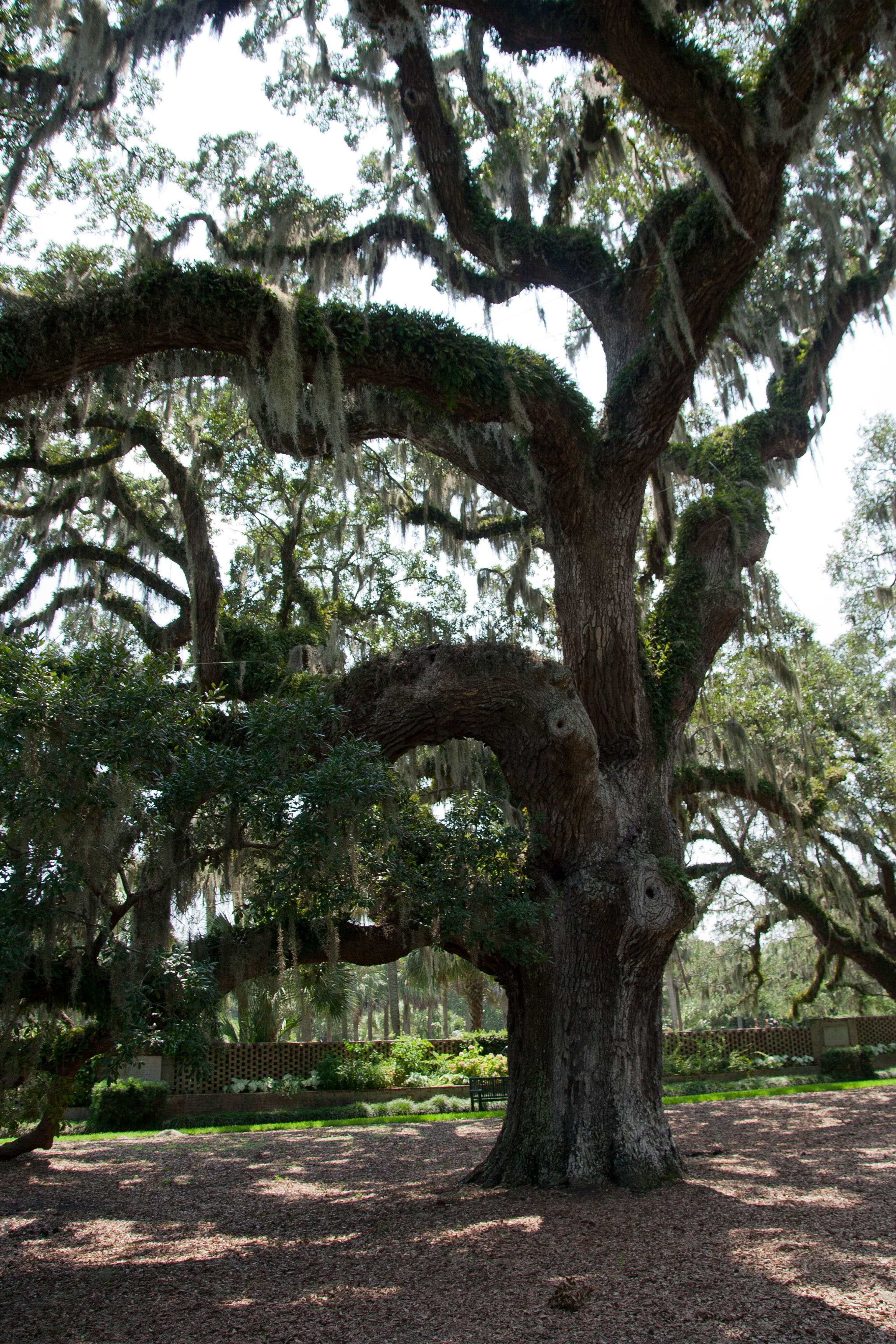
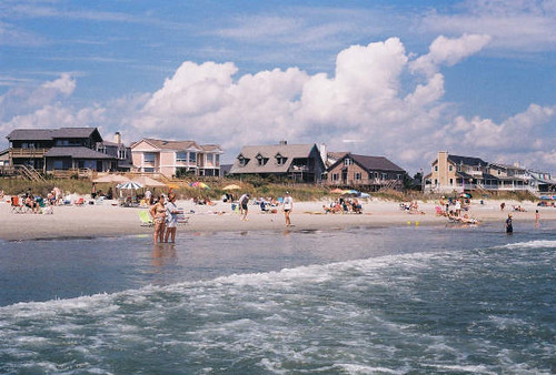
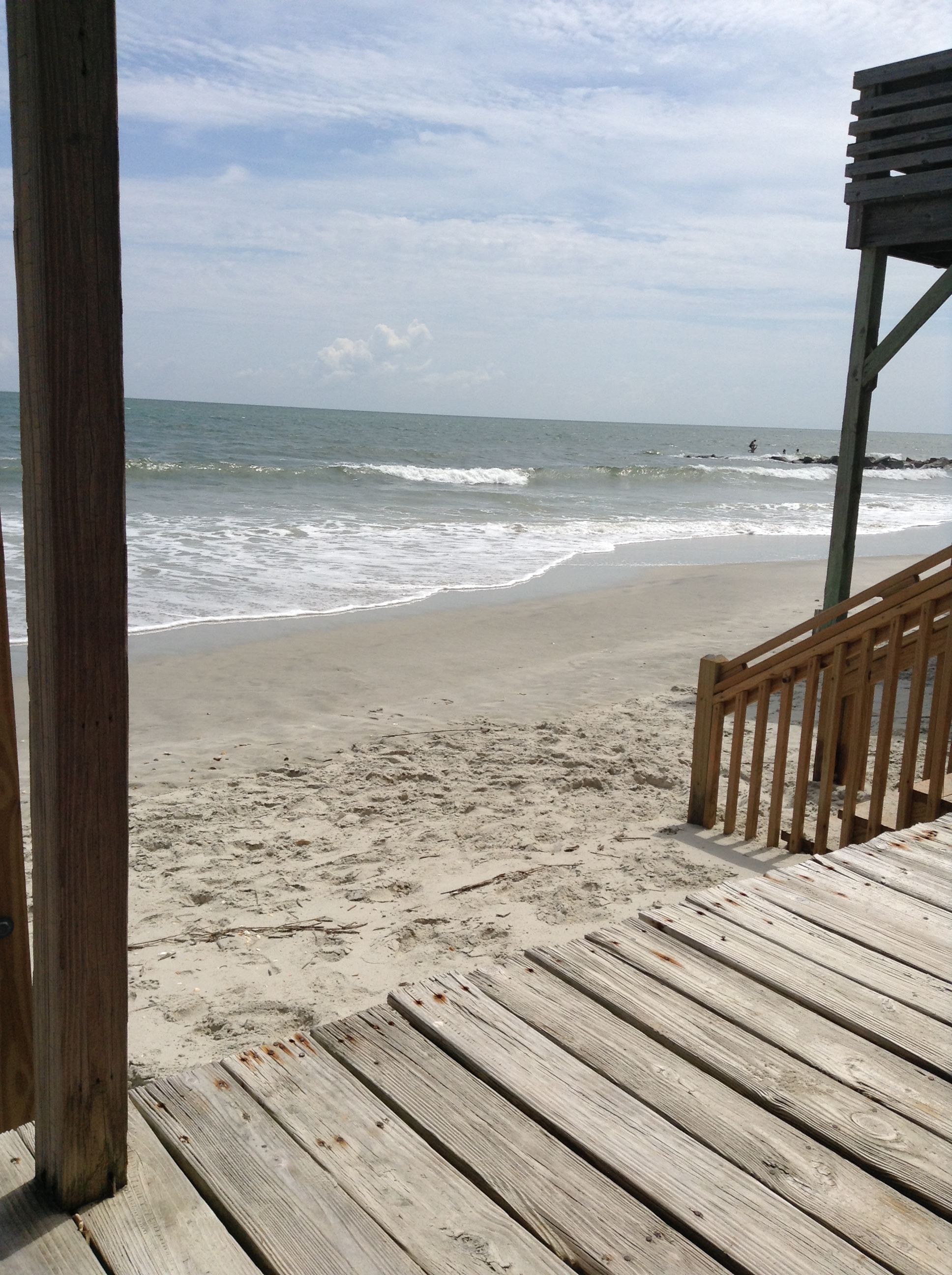
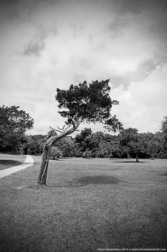
Related Photos:

Atlantic Wave

Waving in the wind

Atlantic Dawn

"John's Sunrise"

Pawley's Island Pier (South Carolina)

Singing trees. The wind was blowing heavily...and it was like a song. South Carolina

morning marsh
Myrtle Beach-2011-08-07-034

Do Not Disturb

Sunset in Myrtle Beach, SC
letting go of summer

"Infrared capture" #ir #infrared #infraredphotography
2014-09-02 13.40.59

beachfront property

28-IMG_1276

Murrell's Inlet

balance beam
Windswept II

Panicum amarum (Bitter seabeach grass)

Pawleys pier
Water/sand sculpture
Topographic Map of 24 Golf View Ct, Pawleys Island, SC, USA
Find elevation by address:

Places near 24 Golf View Ct, Pawleys Island, SC, USA:
1537 Club Cir
Millbranch Lane
7 All Saints Loop
230 Club Cir
213 Club Cir
207 Club Cir
261 Club Cir
261 Club Cir
827 Club Cir
59 Knight Cir
59 Knight Cir
59 Knight Cir
59 Knight Cir
59 Knight Cir
19 Chapel Creek Rd
18 Knight Cir
73 Simons Ln
73 Simons Ln
30 Fairway Ln
73 Simons Ln Unit 8
Recent Searches:
- Elevation of Corso Fratelli Cairoli, 35, Macerata MC, Italy
- Elevation of Tallevast Rd, Sarasota, FL, USA
- Elevation of 4th St E, Sonoma, CA, USA
- Elevation of Black Hollow Rd, Pennsdale, PA, USA
- Elevation of Oakland Ave, Williamsport, PA, USA
- Elevation of Pedrógão Grande, Portugal
- Elevation of Klee Dr, Martinsburg, WV, USA
- Elevation of Via Roma, Pieranica CR, Italy
- Elevation of Tavkvetili Mountain, Georgia
- Elevation of Hartfords Bluff Cir, Mt Pleasant, SC, USA