Elevation of 24 Decker Rd, Craryville, NY, USA
Location: United States > New York > Columbia County > Claverack >
Longitude: -73.664702
Latitude: 42.206776
Elevation: 155m / 509feet
Barometric Pressure: 99KPa
Elevation Map:
Satellite Map:
Related Photos:

Over & Under
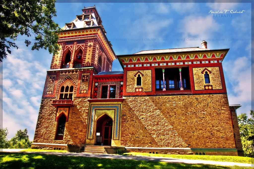
Frederic E. Church House Olana
Ran all the way up the hill yesterday & the view was so totally worth it!
October 23, 2012

A place to get lost

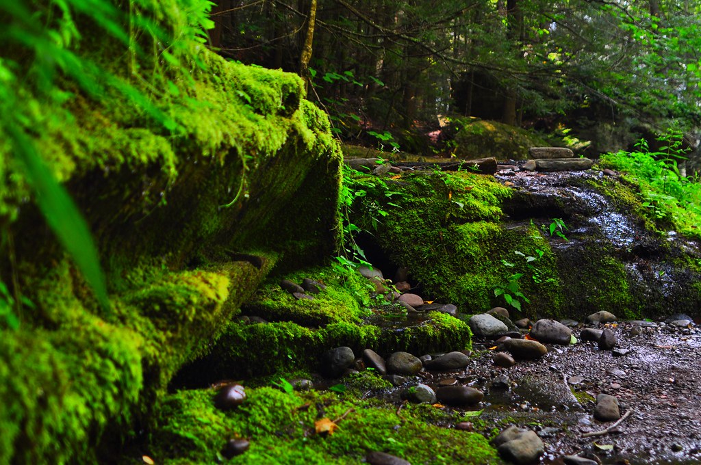
old iron smelter

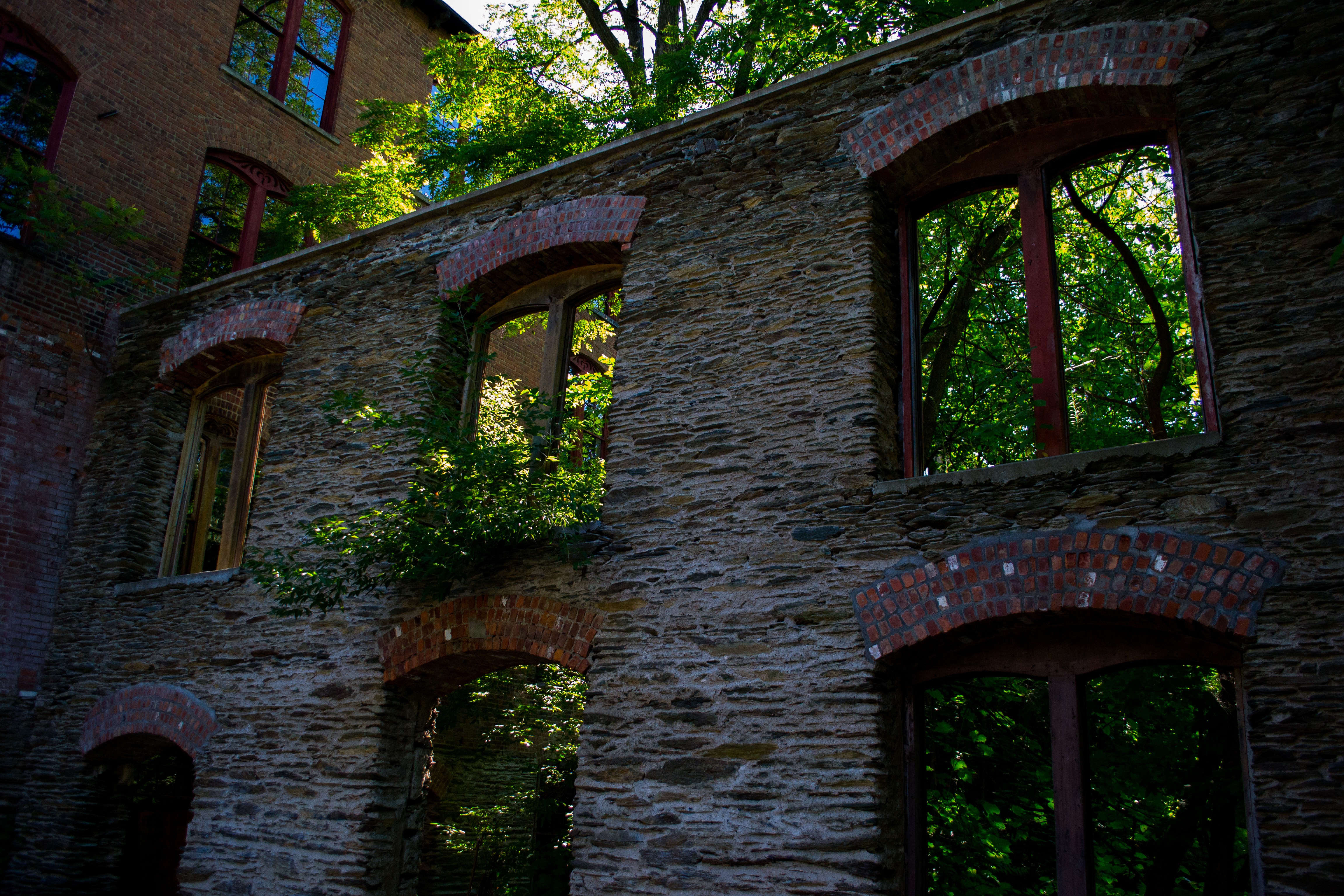
Summit Knitting Mill, Philmont, NY
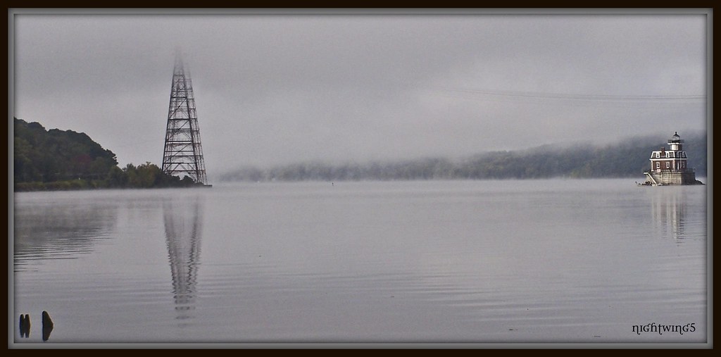
Hudson River Mist

Chief Martindale Diner - Interior

Spent the weekend with friends up in Hudson, NY to enjoy the fall scenery. It was beautiful but, all things being relative, I think I have the better view right on my arm.

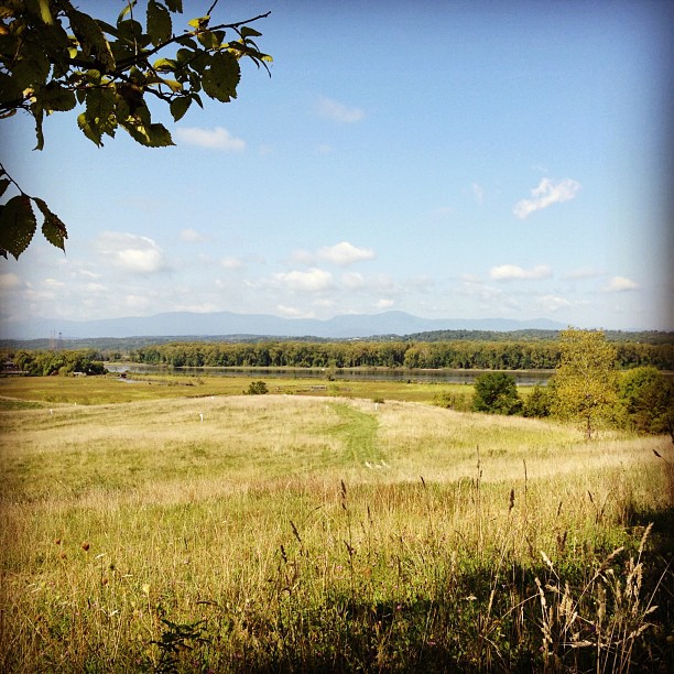
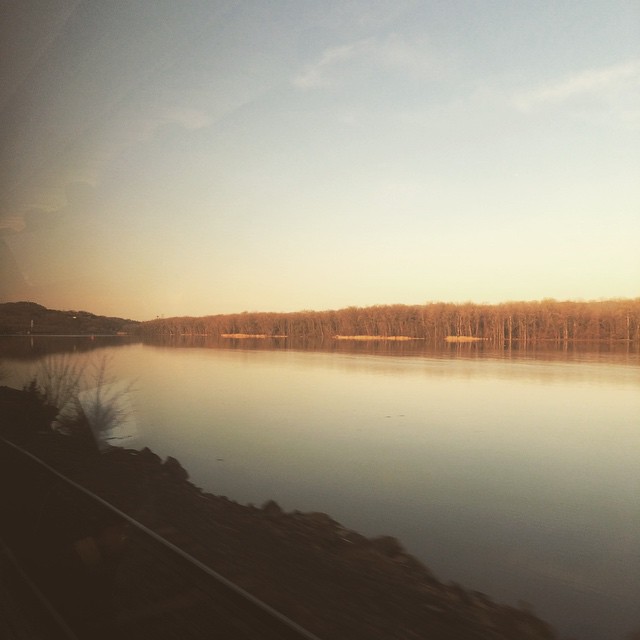
View from the Taconic State Parkway
Summit Knitting Mill, Philmont, NY

View of sunset from Tom Davis's former house, Livingston, near Hudson, NY 2007

View of the Hudson from the Martin/May House
At Dawn in Hudson, NY
Attic Treasure

2014-08-11_10-16-46

A precursor of Falls to come...

Rip Van Winkle Bridge as seen from Olana
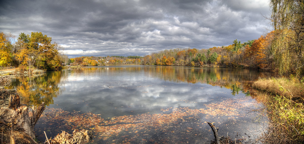
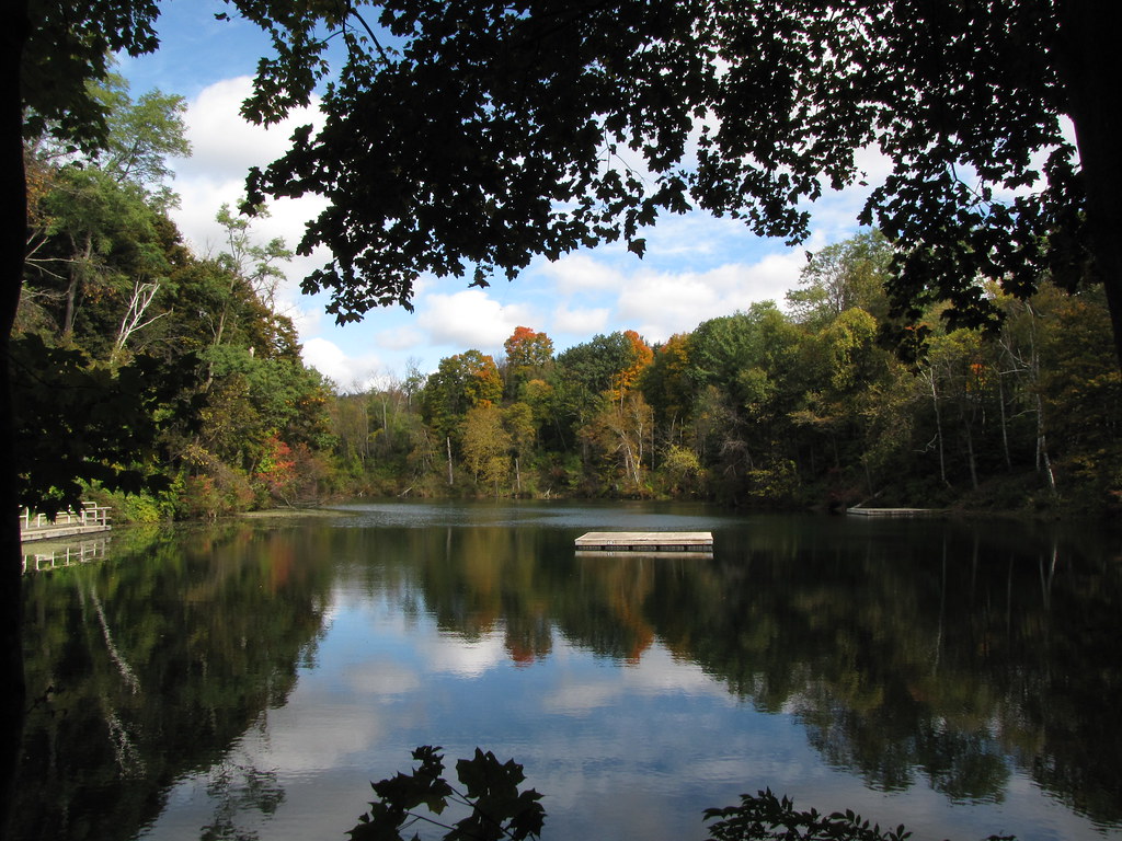
Summit Lake
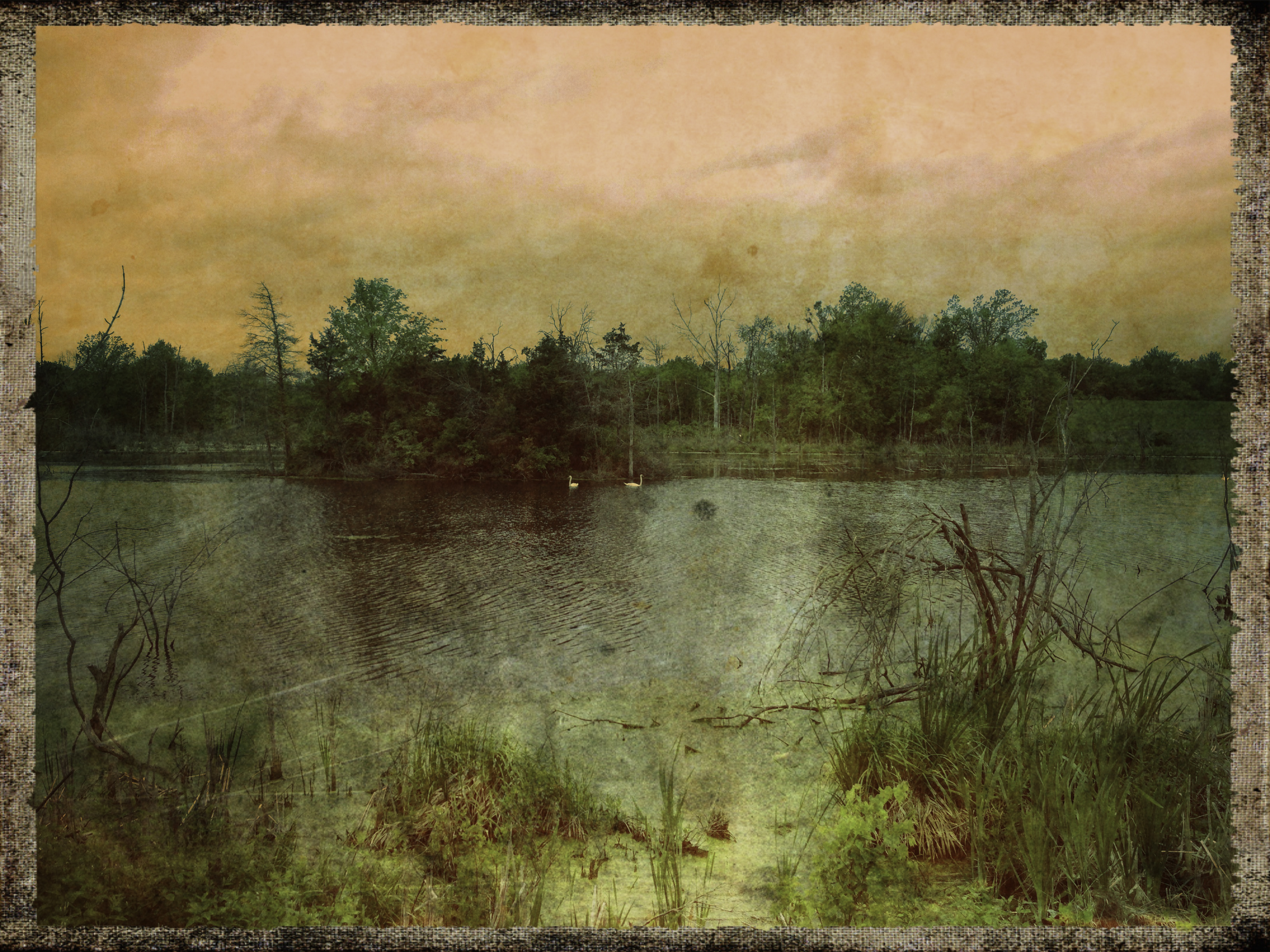
Ore Pit Pond
2014-08-11_10-43-19
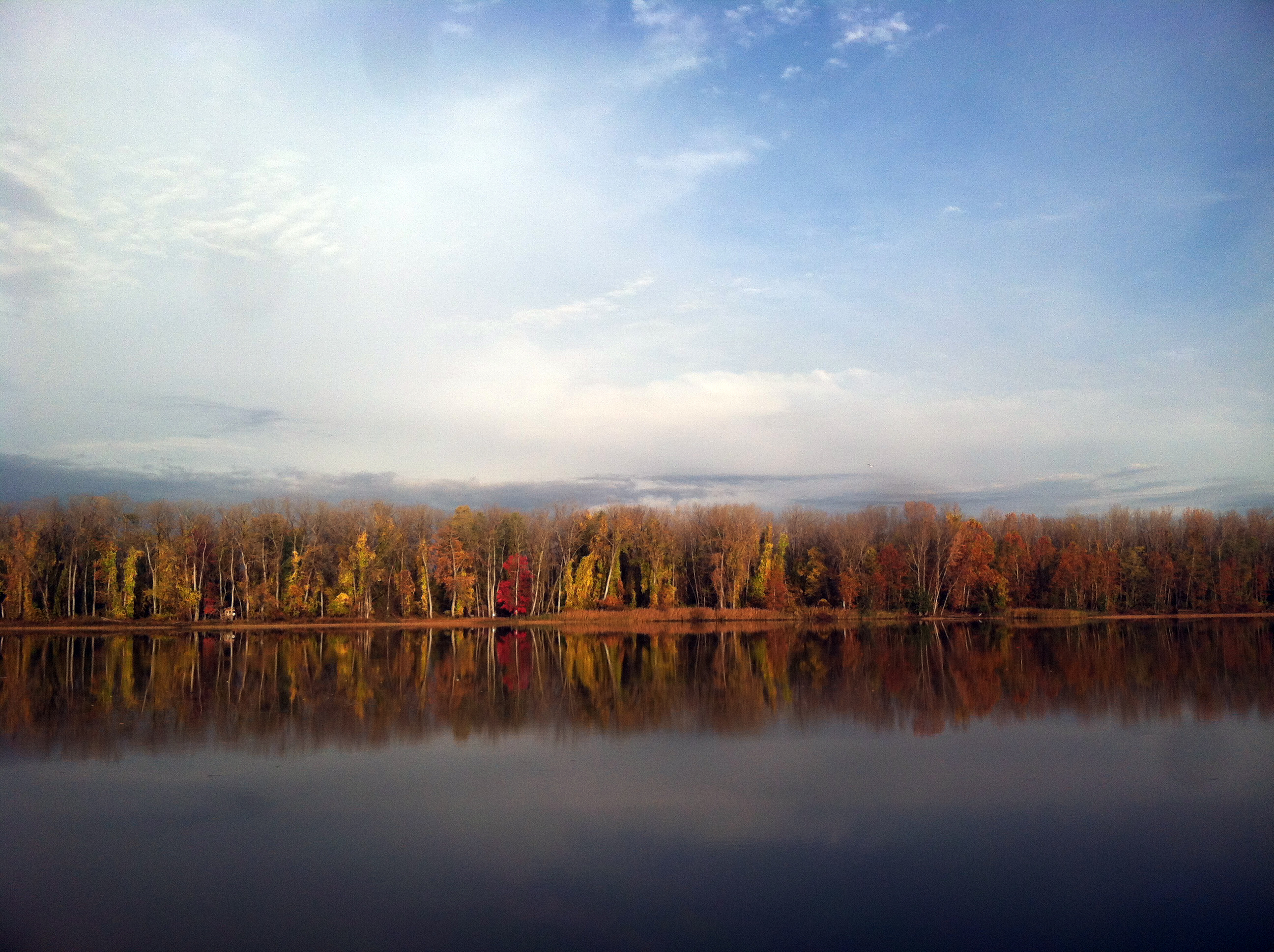
Hudson morning.

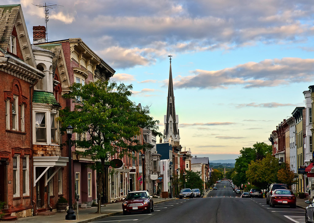
Hudson, NY
Topographic Map of 24 Decker Rd, Craryville, NY, USA
Find elevation by address:

Places near 24 Decker Rd, Craryville, NY, USA:
Claverack
Taconic State Parkway
Hollowville
48 Stevers Crossing Rd
276 Stevers Crossing Rd
230 Stevers Crossing Rd
Philmont
100 Main St
Claverack Creek
37 Hover Rd
Claverack-red Mills
218 Ny-23
Claverack
240 Texas Hill Rd
62 Tipple Rd
67 Taconic Creek Rd
73 Arch Bridge Rd, Ghent, NY, USA
21 Stone Mill Rd
819 Ny-66
91 Rodman Rd
Recent Searches:
- Elevation of Corso Fratelli Cairoli, 35, Macerata MC, Italy
- Elevation of Tallevast Rd, Sarasota, FL, USA
- Elevation of 4th St E, Sonoma, CA, USA
- Elevation of Black Hollow Rd, Pennsdale, PA, USA
- Elevation of Oakland Ave, Williamsport, PA, USA
- Elevation of Pedrógão Grande, Portugal
- Elevation of Klee Dr, Martinsburg, WV, USA
- Elevation of Via Roma, Pieranica CR, Italy
- Elevation of Tavkvetili Mountain, Georgia
- Elevation of Hartfords Bluff Cir, Mt Pleasant, SC, USA