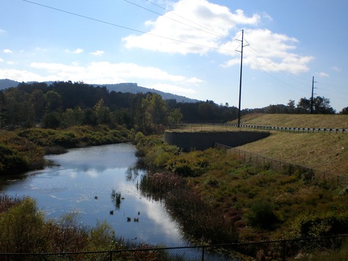
Elevation of 24 Bartlett Rd, Weaverville, NC, USA
Location: United States > North Carolina > Buncombe County > Reems Creek > Weaverville >

Longitude: -82.515531

Latitude: 35.802483

Elevation: 685m / 2247feet

Barometric Pressure: 93KPa

Elevation Map:

elevation map of 24 Bartlett Rd, Weaverville, NC, USA

Satellite Map:

Satellite map of 24 Bartlett Rd, Weaverville, NC, USA

Related Photos:

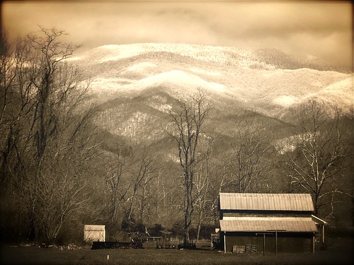
mountains snow barn country sepia effects mystuart winter spring 2013 barnardsville dillingham olympus aviary manipulated tinroof geotagged telephoto
East of Dillingham
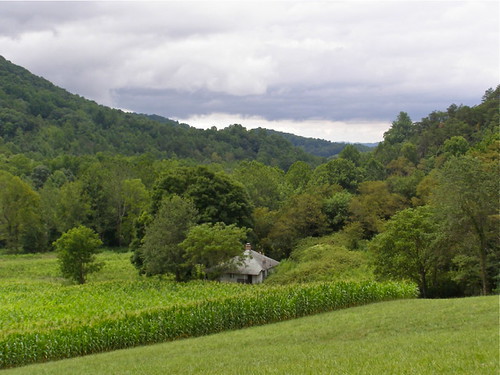
summer sky mountains architecture buildings corn south august 2006 maize bungalow melystu
Nearly Engulfed
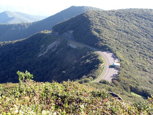
travel mountain landscape scenic northcarolina blueridgeparkway blueridge craggypinnacletrail
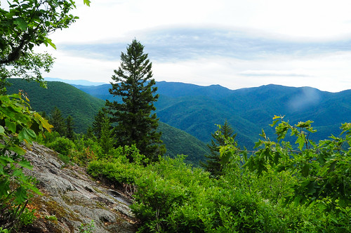
View of Blue Ridge Scenic Parkway
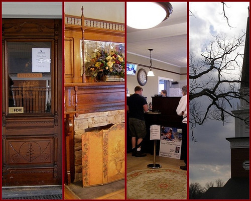
preservation historic bank financial door wood mantel victorian steeple belfry branch clouds lamp reflection millwork fireplace architecture buildings madisoncounty nc melystu 2011 fdsflickrtoys mosaic polyptych window trade marshill madison ashevillesavingsbank
Old House ☛ New Bank
blue autumn mist mountains color fall leave nature beautiful misty fog nc nikon north foggy foliage ridge explore parkway carolina nikkor brp
in a fog (Explore)
red mist mountains color colour fall wet beautiful leaves weather yellow misty fog wonderful nc nikon asheville foggy peaceful northcarolina spooky foliage mysterious magical blueridgeparkway drizzle sharkshock
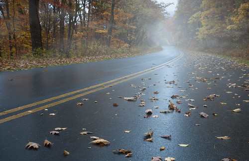
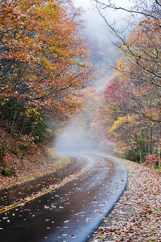
the road unknown
lighting nc fixtures artdeco lamps pendant weaverville publiclibrary libslibs
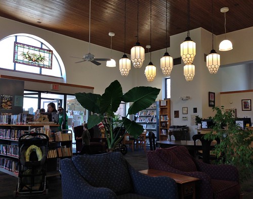
In the Library at Weaverville, NC
mountains flower macro yellow bokeh northcarolina bee sunflower explored
You Are the Sunflower of My Life - Apologies to Stevie Wonder! View large. Explore November 3, 2012.
camera usa industry car googlemaps unitedstates asheville map maps northcarolina panoramic company cameras bigbrother mapping streetview cameracar elphel sickag streetviewcamera laserrangescanner googlecamera googlemapscamera googleearthcamera
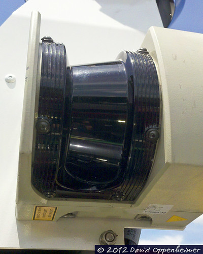
Google Maps Street View Camera Car
snow bigivy nc mountains wnc blueridgeparkway valley dillingham light cumulus
Over the Blacks Range
storm colors canon nc high rainbow dynamic mark vivid double ii 5d after range hdr weaverville
HDR Rainbow
mountains tree barn fence nc ramp madison cedar notrespassing marshill 128 2011 bankbarn melystu
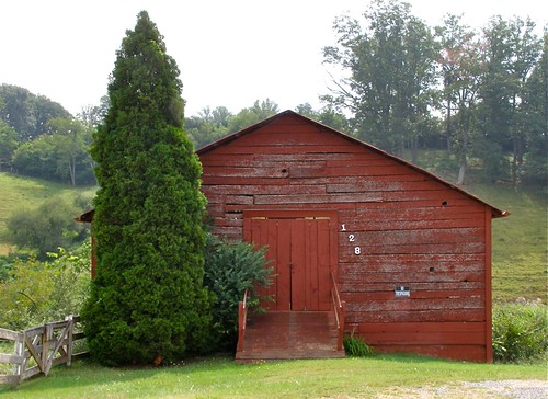
Red Barn with Tree
sunset parkway stunning overlook blueridgeparkway blueridge uploaded:by=flickrmobile colorvibefilter flickriosapp:filter=colorvibe
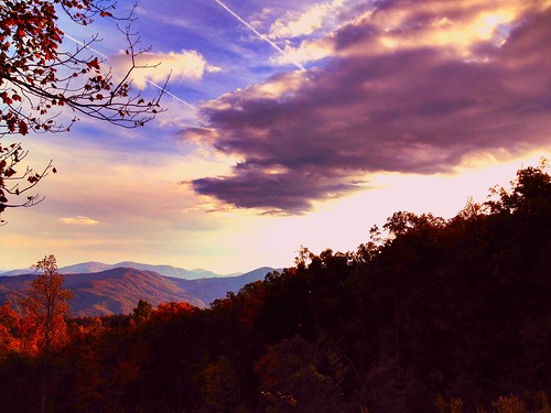
Mountain top
snow creek usfs 2013 bigivy mystuart cornerrock
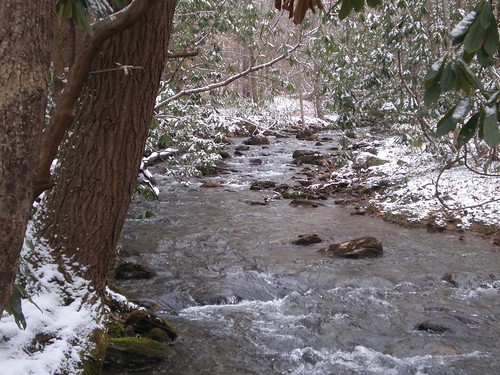
Solo Creek
travel sunset summer art nature beautiful gardens clouds daylight artist day photographer cloudy asheville sweet northcarolina craggy views postcards destination through blueridgemountains mountmitchell pisgahnationalforest bluebleu thegreatsmokymountains 2011 lookingthruwindow digidreamgrafixcomphotographydigitalphotoncnorthcarolina agphotos agpostcardscom parkblackmountain viewthrualens
blue ridge valley
sota bigbutt summitsontheair elecraftkx3 ki4svm wh6le 88doublet hardrock50 w4ccm009
View from Little Butt
camera usa industry car googlemaps unitedstates asheville map maps northcarolina security panoramic cameras bigbrother mapping defense streetview cameracar elphel sickag streetviewcamera laserrangescanner googlecamera googlemapscamera googleearthcamera
Google Maps Street View Camera Car
winter mountains green wet misty clouds barn dark geotagged nc rainy pasture chilly hay shrouded dillingham 2011 pokeweed mystuart
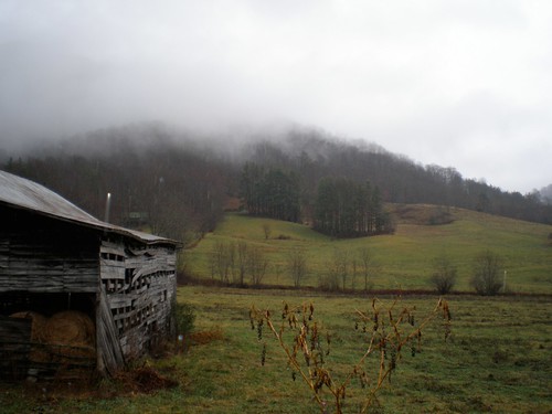
Dark and Misty
winter mountain forest nc woods rhododendron laurel 2012 lore dialect horacekephart mystuart laurelhell
A "Laurel Hell" (Rhododendron maxima)
mountains water creek geotagged nc stream barnardsville usfs 2011 bigivy melystu
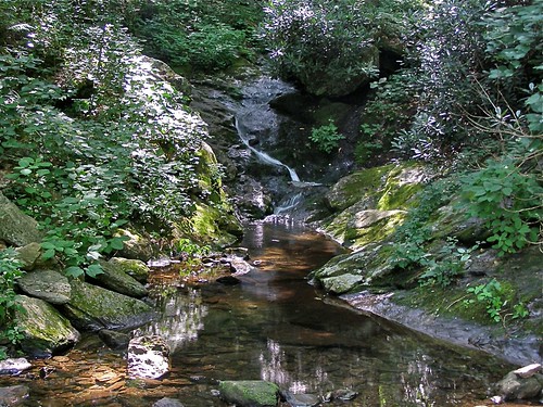
Nature's Cascade Pool
camera usa industry car googlemaps unitedstates asheville map maps northcarolina security panoramic cameras bigbrother mapping defense streetview cameracar elphel sickag streetviewcamera laserrangescanner googlecamera googlemapscamera googleearthcamera
Google Maps Street View Camera Car
marshall rollins french broad river norfolk southern 8100 nickel plate
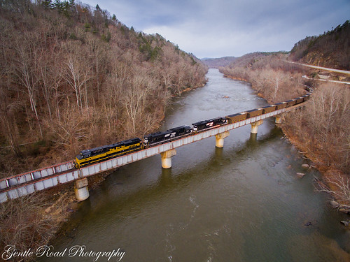
784 crosses the French Broad
rimeice blueridgeparkway northcarolina fencerow geotagged archaic oldword frost frozenfog hff
Rime Ice
usa lake nature water landscape waterfall nc asheville outdoor dam northcarolina waterfalls serene lakelouise waterwheel weaverville wnc 840 westernnorthcarolina waterdam weavervillenc weavervillenorthcarolina lakelouisefalls geo:lat=3568811385 geo:lon=8257064715 waterfallatlakelouiseweavervillenorthcarolina
Waterfall at Lake Louise (Weaverville, North Carolina)
sunrise appalachian mountains
Sunrise over the Appalachians
outdoors barn red sky blue canon dslr landscape land sunny portrait trees fall clouds art awesome azul country exploring houses house vivid scenes scenics landscapes traveling travel white wnc usa watching seasons season pretty nature neat luminosity light hills greenery green daytime day colorphotoaward colour colors colorful color cloudy buildings building barns asheville architectural architecture america agriculture astoundingimage outdoor foliage plant
Red Barn
ecology nc fishing pond basin clean filter environment streams rainfall waterway weaverville drains waterquality purify runoff purification filtration groundwater retention wastewater 2013 mystuart
Retention Basin
tinyhouse originalartpainting acryliclandscapepainting originalpaintingsforsale
Tiny Purple Retreat - Original Art Painting
trees winter white snow cold green weather canon outside outdoors eos rebel landscapes nc cool snowing neat scenics xsi
Light Snow
originalartpainting acryliclandscapepainting originalpaintingsforsale
Cone Flowers :: Original Art Painting
tinyhouse originalartpainting acryliclandscapepainting originalpaintingsforsale
Tiny Hut in the Big Mountains - Original Art Painting
morning blue autumn mist mountains color fall beautiful yellow misty fog nc nikon colorful asheville foggy northcarolina foliage ridge parkway nikkor overlook
foggy ride
bridge winter mountains creek geotagged nc barns stark bigcreek wnc barnardsville bigivy
Grey Winter Creek
square squareformat iphoneography instagramapp uploaded:by=instagram foursquare:venue=4d4af4f77ac1a0902cf13ea9
The Cure
Tree on Verge of Collapse 246_7_8
sunset mountains gardens evening craggy parkway blueridgeparkway nightfall nikond7100
Craggy Pinacle at Sunset