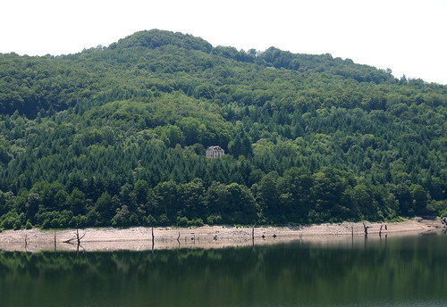
Elevation of 21 Avenue de Brommat, Mur-de-Barrez, France

Location: France > Aveyron > Mur-de-barrez >

Longitude: 2.6634409

Latitude: 44.8416879

Elevation: 773m / 2536feet

Barometric Pressure: 92KPa

Elevation Map:

elevation map of 21 Avenue de Brommat, Mur-de-Barrez, France

Satellite Map:

Satellite map of 21 Avenue de Brommat, Mur-de-Barrez, France

Related Photos:

geotagged geo:lat=448894800000003 geo:lon=25637168000002
DSC08231.JPG
blackandwhite horse white black france monochrome caballo frankreich flickr noir view dada bild amateur weiss cavallo bianco blanc nero schwarz auvergne chevaux 馬 monture massifcentral häst cantal лошадь סוס équestre ilovefrance perd جميل cavale attelage حصان équidé lovak destrier bwgallery άλογα zirgi shotwithcanon schwarzundweis équin aufnahmemitcanon photoaveccanon gonepic
Chevaux en Auvergne 2001-06
geotagged geo:lat=448899869999995 geo:lon=256638800000075
DSC08236.JPG
geotagged geo:lat=448895733999995 geo:lon=25661538000001
DSC08219.JPG
horse france caballo cheval frankreich flickr view centre dada cavallo auvergne chevaux 馬 monture massifcentral häst cantal лошадь סוס équestre ilovefrance perd جميل cavale attelage حصان équidé lovak destrier pailherols άλογα zirgi shotwithcanon équin fêtedufromage aufnahmemitcanon photoaveccanon
Chevaux en Cantal 2001-06
geotagged geo:lat=448903091999999 geo:lon=256430699999874
DSC08224.JPG
geotagged geo:lat=448890561999998 geo:lon=25640690000005
DSC08233.JPG
geotagged geo:lat=448905018000035 geo:lon=256439139999985
DSC08223.JPG
geotagged geo:lat=448903687999999 geo:lon=25651607999997
DSC08234.JPG
geotagged geo:lat=448882839999999 geo:lon=25645876000004
DSC08218.JPG
geotagged geo:lat=44890629 geo:lon=2564986
DSC08222.JPG
geotagged geo:lat=448893667999995 geo:lon=25635040000005
DSC08232.JPG
geotagged geo:lat=448908933999999 geo:lon=256557220000043
DSC08221.JPG
geotagged geo:lat=448906079999998 geo:lon=256542400000013
DSC08220.JPG
geotagged geo:lat=448902778000002 geo:lon=256516859999965
DSC08235.JPG
geotagged geo:lat=448899441999999 geo:lon=256412479999995
DSC08228.JPG
geotagged geo:lat=448894856 geo:lon=256371359999995
DSC08230.JPG
geotagged geo:lat=448902228 geo:lon=256408
DSC08225.JPG
geotagged geo:lat=448899610000003 geo:lon=256413520000005
DSC08229.JPG
geotagged geo:lat=448902194 geo:lon=2564081
DSC08226.JPG
geotagged geo:lat=448899713999995 geo:lon=256414079999932
DSC08227.JPG
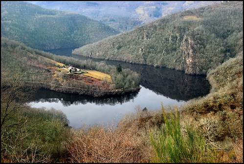
ngc truyére “flickraward”
La truyére en nord aveyron
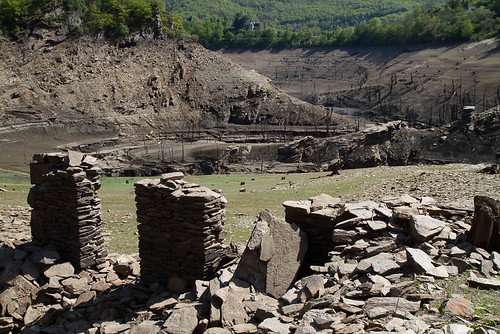
france architecture eau type paysage barrage edf aveyron midipyrenees cantal vidange ouvragedart sarrans paulhenc
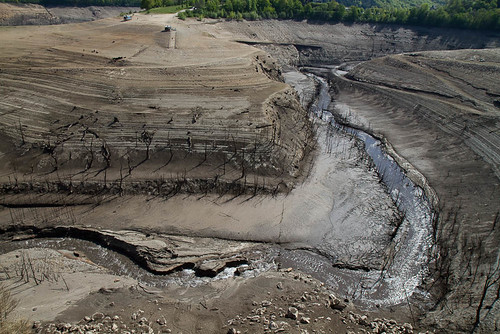
Barrage de Sarrans
france architecture eau type paysage barrage edf aveyron midipyrenees cantal vidange ouvragedart sarrans paulhenc
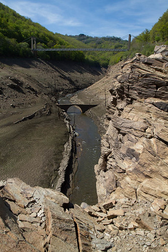
Barrage de Sarrans
france architecture eau type paysage barrage edf aveyron midipyrenees cantal vidange ouvragedart sarrans paulhenc
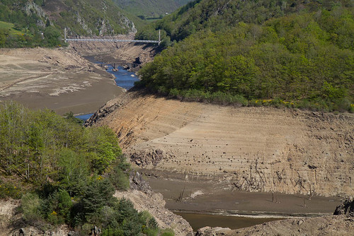
Barrage de Sarrans
france architecture eau type paysage barrage edf aveyron saintemarie midipyrenees cantal vidange ouvragedart sarrans
Barrage de Sarrans
france geology eruption volcanology volcanoe cantal géologie lahars raulhac volcanologie brèchevolcanique loubéjac téphra
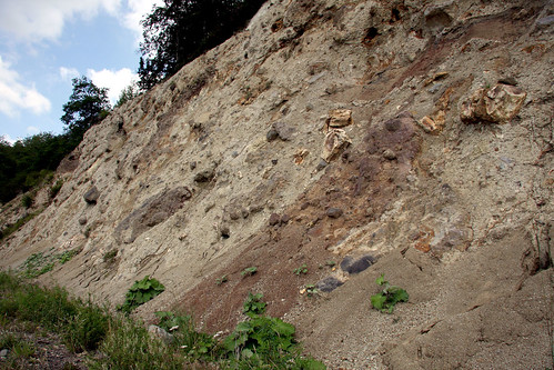
Brèche ponceuse épiclastique
Nord aveyron Vallon
favorite france histoire histoiredefrance château auvergne patrimoine louisxiv cantal leuropepittoresque cropières marieangéliquedescorailles duchessedefontanges chateaudecropières
Le château de Cropières
ITINERAIRE 15-20111024-059
auvergne bicycle cantal day020 europe france freewheelycom cycletouring cyclotourisme cycling velo jbcyclingafrica
20121123-DSC_2014
travel france tourism clouds landscape europe moments lifestyle fotografia cinematography auvergne traveldestinations tbex travelvideo ttot worldtrekker apzmedia crosderonesque
A walk on clouds
ITINERAIRE 15-20111024-064
auvergne bicycle cantal day020 europe france freewheelycom cycletouring cyclotourisme cycling velo jbcyclingafrica
20121123-IMG_0743
2013-11-08 (02) - Cros-de-Ronesque
auto new old bridge france water grass car station electric night truck river french coach ancient automobile eau indre police voiture september ruine cher rest former 37 nouveau et loire nuit quai français nouvelle vieux herbe vieille ancienne ancien fleuve nationale vehicule électrique reste gendarmerie gazon indreetloire française épave nouveauté véhicule utilitaire restes végétalisée letramdetours padicha
Panorama - 25 août 2013 (Chemin de la Cascade - Vic-sur-Cère)
aveyron bicycle dam day020 europe france hydro powerplant sarrans freewheelycom cycletouring cyclotourisme cycling velo jbcyclingafrica
20121123-DSC_2020
france lot paysage nord aveyron infrastructures aubrac hydrographie vallée carladez nordaveyron viadenne boraldes entités paysagères
Lac de Sarrans