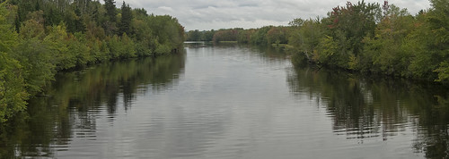
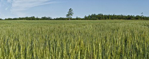
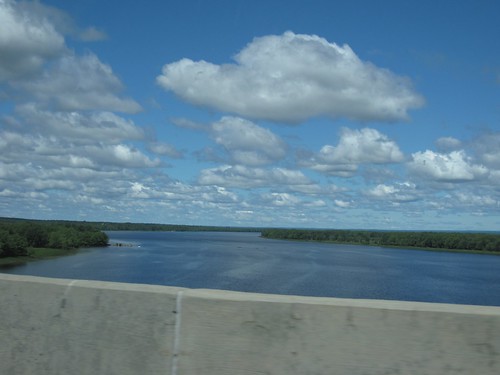
Elevation of 20 Highfield Rd, Long Creek, NB E4C 1K6, Canada
Location: Canada > New Brunswick > Queens County > Johnston > Long Creek >
Longitude: -65.762763
Latitude: 45.8752323
Elevation: 14m / 46feet
Barometric Pressure: 101KPa
Related Photos:
Topographic Map of 20 Highfield Rd, Long Creek, NB E4C 1K6, Canada
Find elevation by address:

Places near 20 Highfield Rd, Long Creek, NB E4C 1K6, Canada:
Long Creek
Johnston
Coles Island
6 Old Bridge Rd, Coles Island, NB E4C 2R8, Canada
Codys
45 Armstrong Wharf Rd, Codys, NB E4C 6B4, Canada
605 S Canaan Rd
605 S Canaan Rd
Pearsonville Rd, Pearsonville, NB E5P 1S5, Canada
Pearsonville
Bagdad Road
156 Chittick Rd
Youngs Cove Road
Kierstead Mountain
Snider Mountain
880 Nb-870
New Brunswick 870
NB-, Belleisle Creek, NB E5P 1G8, Canada
Belleisle Creek
NB-, Belleisle Creek, NB E5P 1H5, Canada
Recent Searches:
- Elevation of Corso Fratelli Cairoli, 35, Macerata MC, Italy
- Elevation of Tallevast Rd, Sarasota, FL, USA
- Elevation of 4th St E, Sonoma, CA, USA
- Elevation of Black Hollow Rd, Pennsdale, PA, USA
- Elevation of Oakland Ave, Williamsport, PA, USA
- Elevation of Pedrógão Grande, Portugal
- Elevation of Klee Dr, Martinsburg, WV, USA
- Elevation of Via Roma, Pieranica CR, Italy
- Elevation of Tavkvetili Mountain, Georgia
- Elevation of Hartfords Bluff Cir, Mt Pleasant, SC, USA
