Elevation of 20 Ford Ave SW, Pataskala, OH, USA
Location: United States > Ohio > Licking County > Harrison Township >
Longitude: -82.617468
Latitude: 39.9980834
Elevation: 318m / 1043feet
Barometric Pressure: 98KPa
Elevation Map:
Satellite Map:
Related Photos:

Nature Paints

Skies over Ohio

B&W Lily

Turret Front View

american kestrel

village coffee company

Hizey Covered Bridge, barrel view, Fairfield County, Ohio
Simeon's Dilemma {WHY?}
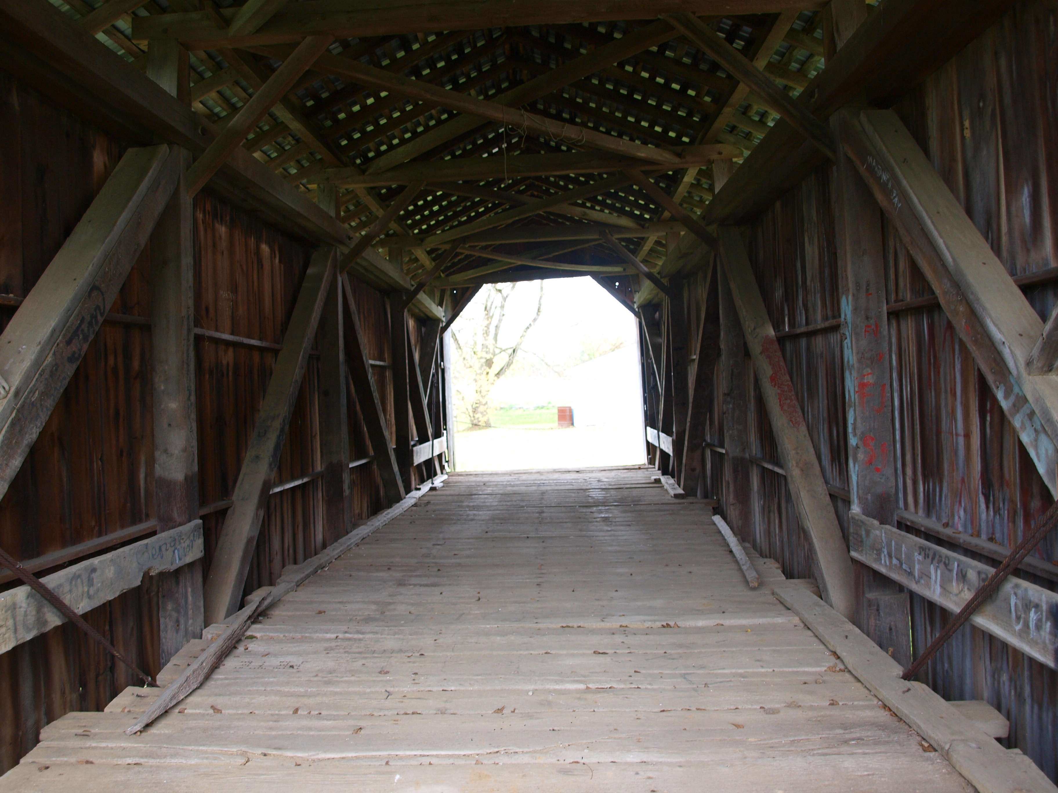
McLain Covered Bridge, barrel view, Licking County, Ohio

Ghost of Christmas Past?
McLain Covered Bridge, truss view, Licking County, Ohio

Front view

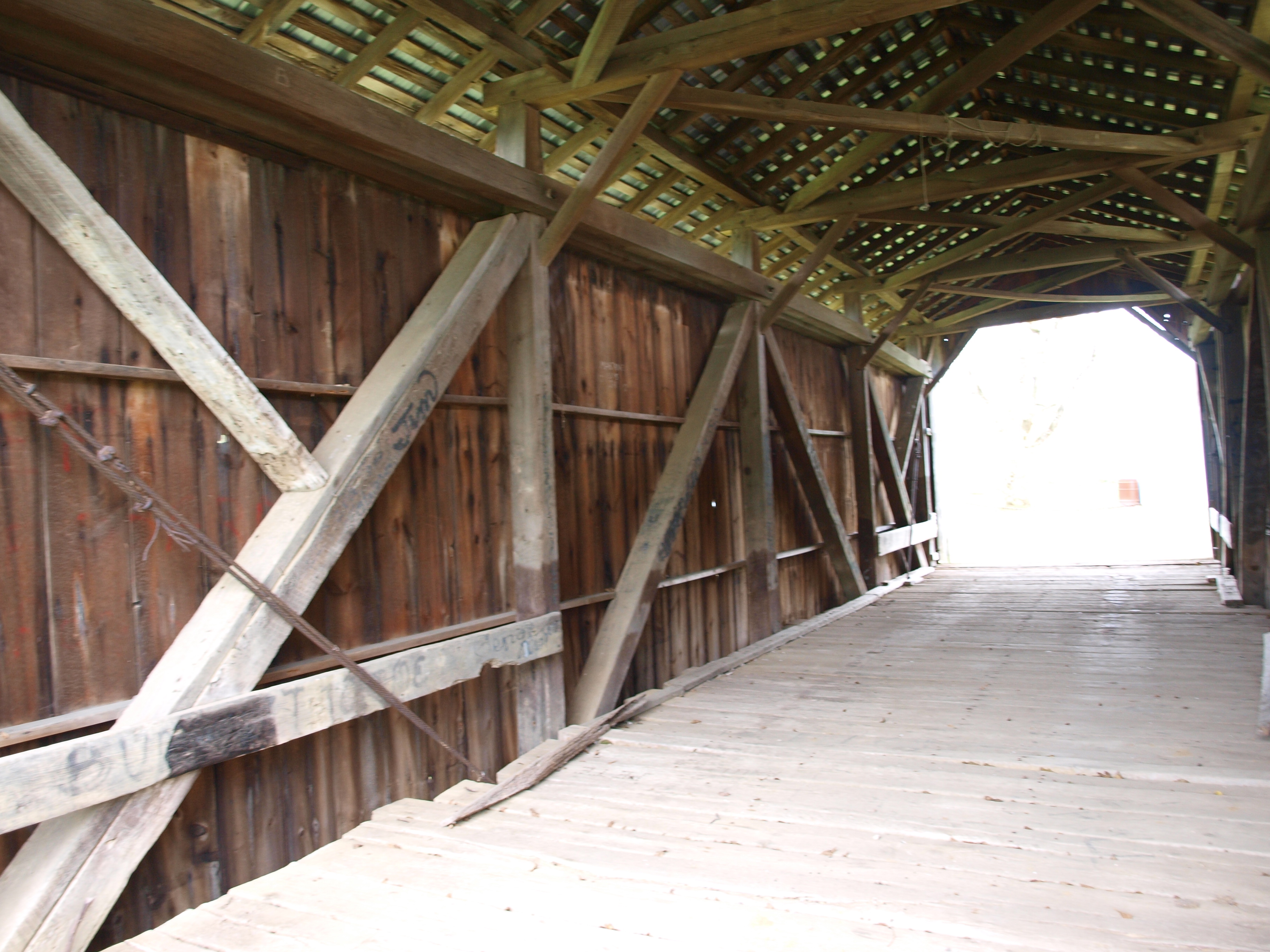
Hizey Covered Bridge, truss view, Fairfield County, Ohio

The aftermath of Ike
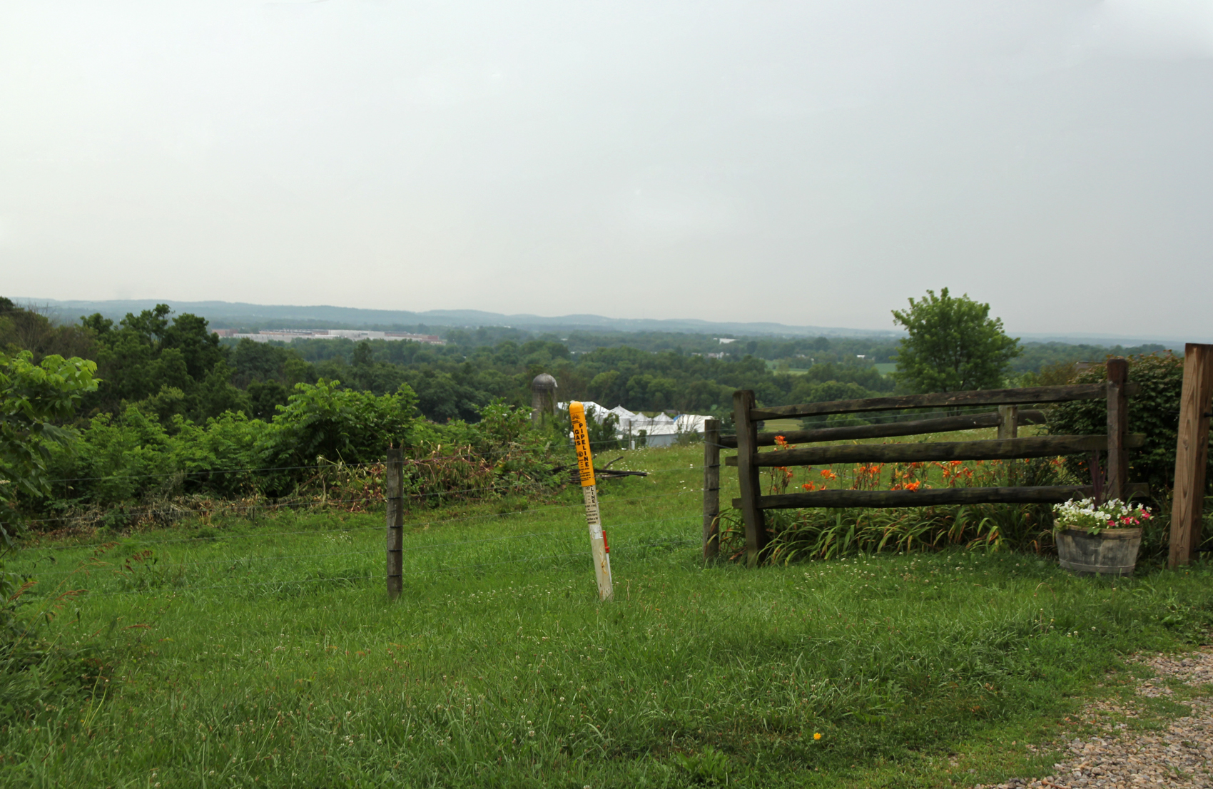
Landscape — Union Township, Licking County, Ohio

My current view of @plainpaul from the shade at #volksfest #vw #plainhauler #the65

This Way
#snow day #pickerington #Ohio #columbusohio

Moon over Heath, Ohio

Small watercolor painting of a bird (v2)

Buckeye Lake, Ohio

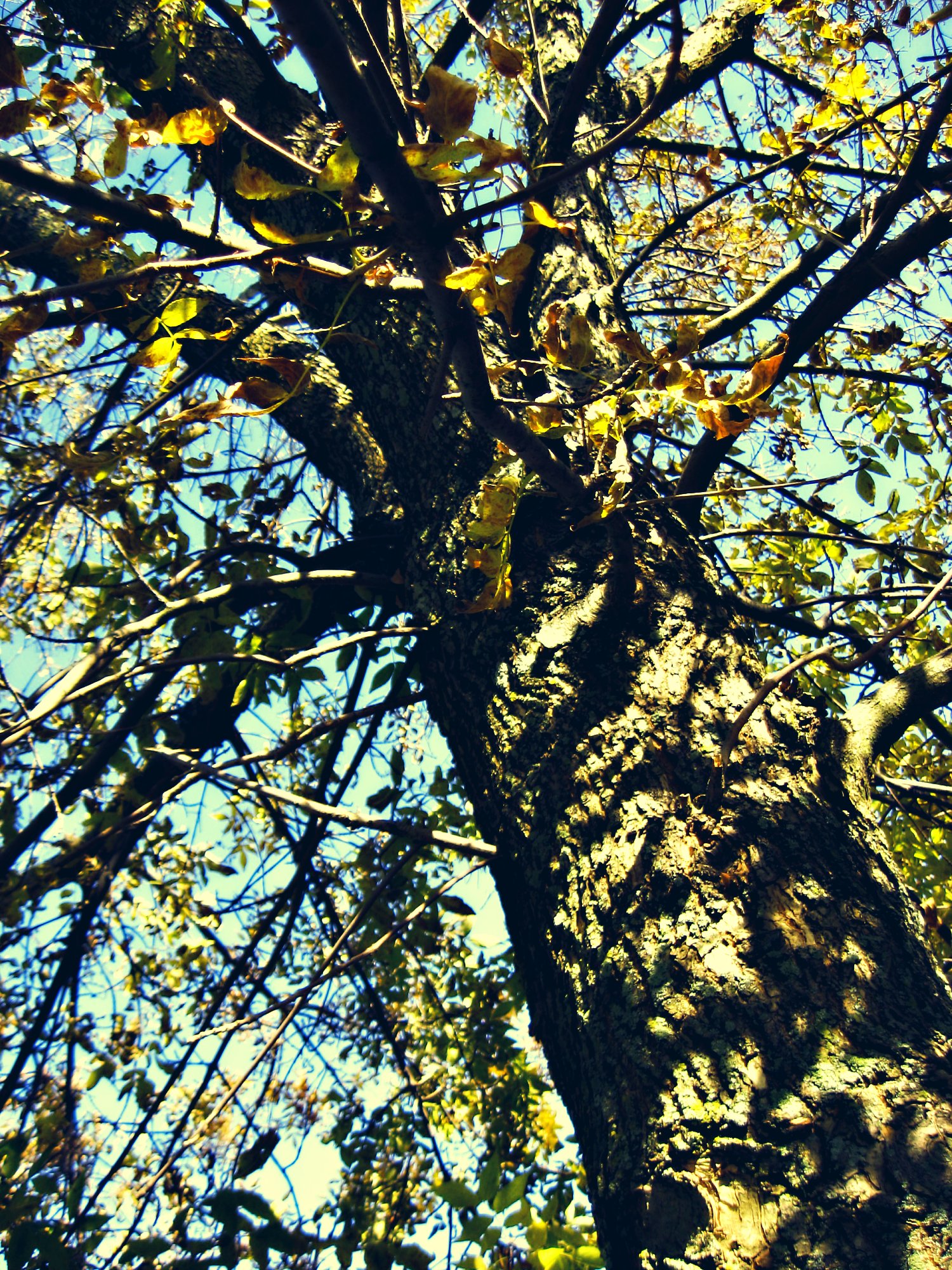
Tree in Field

Cabin at Woods Edge

Sunset on Courter Rd, Pataskala, OH.

One evening at band practice

Abandoned house near Foundation Park

Old Barn

Abandoned farmhouse.

Proud #jeep #barn #ohio #igers #igdaily #igersohio #igerscolumbus #flag #patriotic #stars #stripes #farm

.

smoke 2

Raccoon Creek

#pumpkinpatch #lofi #cjphotos365

Morning Clouds

Beautiful sunrise

beautiful sunrise

IMG_20150912_165728-01
Topographic Map of 20 Ford Ave SW, Pataskala, OH, USA
Find elevation by address:

Places near 20 Ford Ave SW, Pataskala, OH, USA:
82 Zellers Ln
Pataskala
Hazelton-Etna Rd SW, Pataskala, OH, USA
Headleys Mill Road Southwest
Holbrook Farms
Cable Rd SW, Pataskala, OH, USA
Etna Township
Worthington Rd, Pataskala, OH, USA
11030 Worthington Rd
11301 Worthington Rd
Condit Dr SW, Pataskala, OH, USA
Mink St SW, Reynoldsburg, OH, USA
13545 Refugee Rd Sw
13843 Wagram Rd Nw
120 Merritt Rd Sw
8711 Oakshire Dr
1388 Phlox Ave
1388 Phlox Ave
7642 Hutton St
Burkey Ridge
Recent Searches:
- Elevation of Corso Fratelli Cairoli, 35, Macerata MC, Italy
- Elevation of Tallevast Rd, Sarasota, FL, USA
- Elevation of 4th St E, Sonoma, CA, USA
- Elevation of Black Hollow Rd, Pennsdale, PA, USA
- Elevation of Oakland Ave, Williamsport, PA, USA
- Elevation of Pedrógão Grande, Portugal
- Elevation of Klee Dr, Martinsburg, WV, USA
- Elevation of Via Roma, Pieranica CR, Italy
- Elevation of Tavkvetili Mountain, Georgia
- Elevation of Hartfords Bluff Cir, Mt Pleasant, SC, USA