Elevation of 20 Barkhamsted Rd, West Granby, CT, USA
Location: United States > Connecticut > Hartford County > Granby > West Granby >
Longitude: -72.858082
Latitude: 41.9594301
Elevation: 153m / 502feet
Barometric Pressure: 99KPa
Elevation Map:
Satellite Map:
Related Photos:

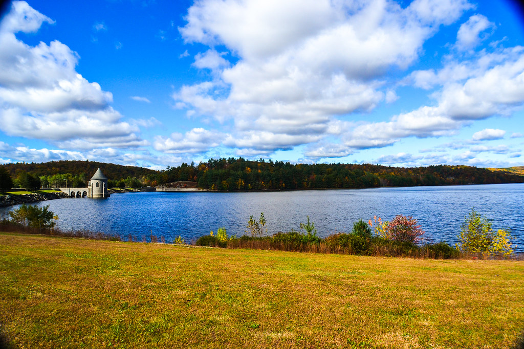
Barkhamsted Reservoir

Goodyear ZNPK-28 Blimp Control Car
Enders Giant

Magic Morning
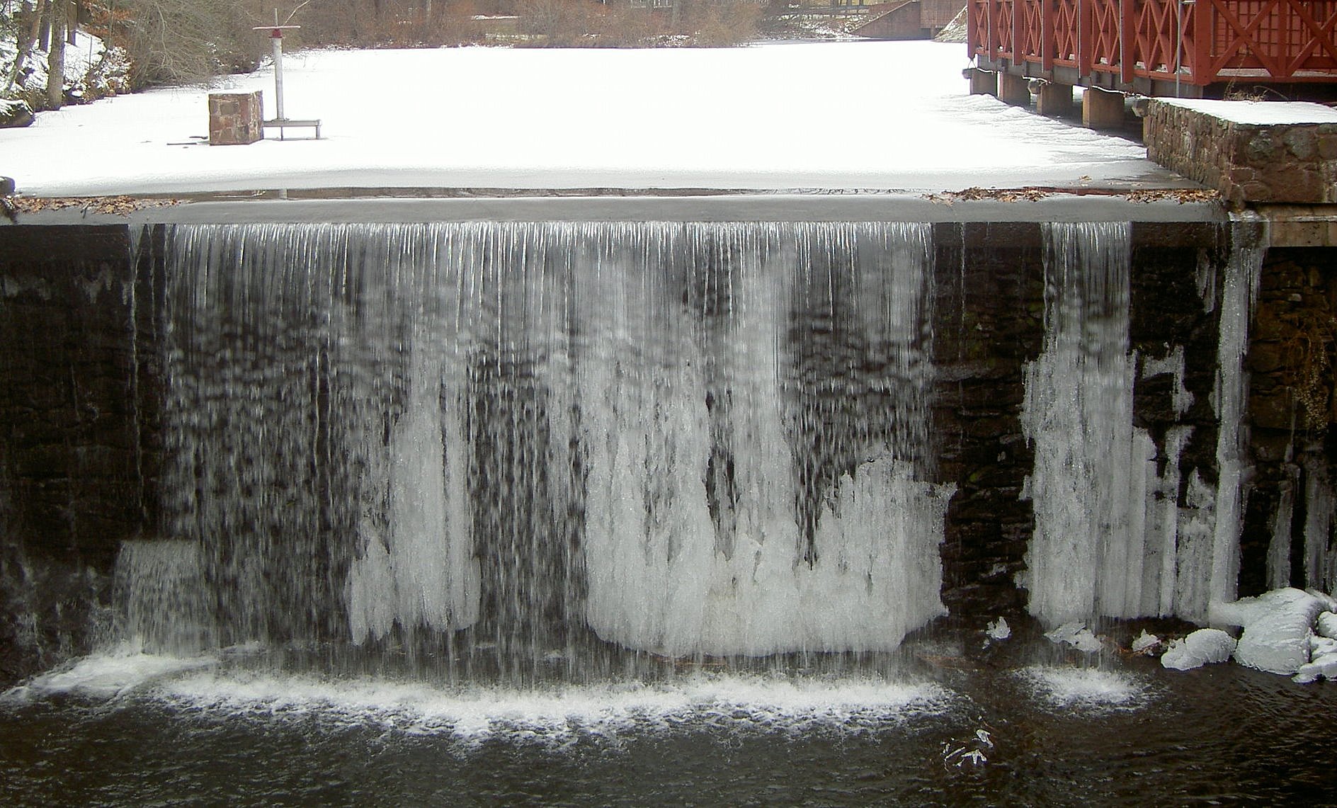
water freezes in the most beautiful of places
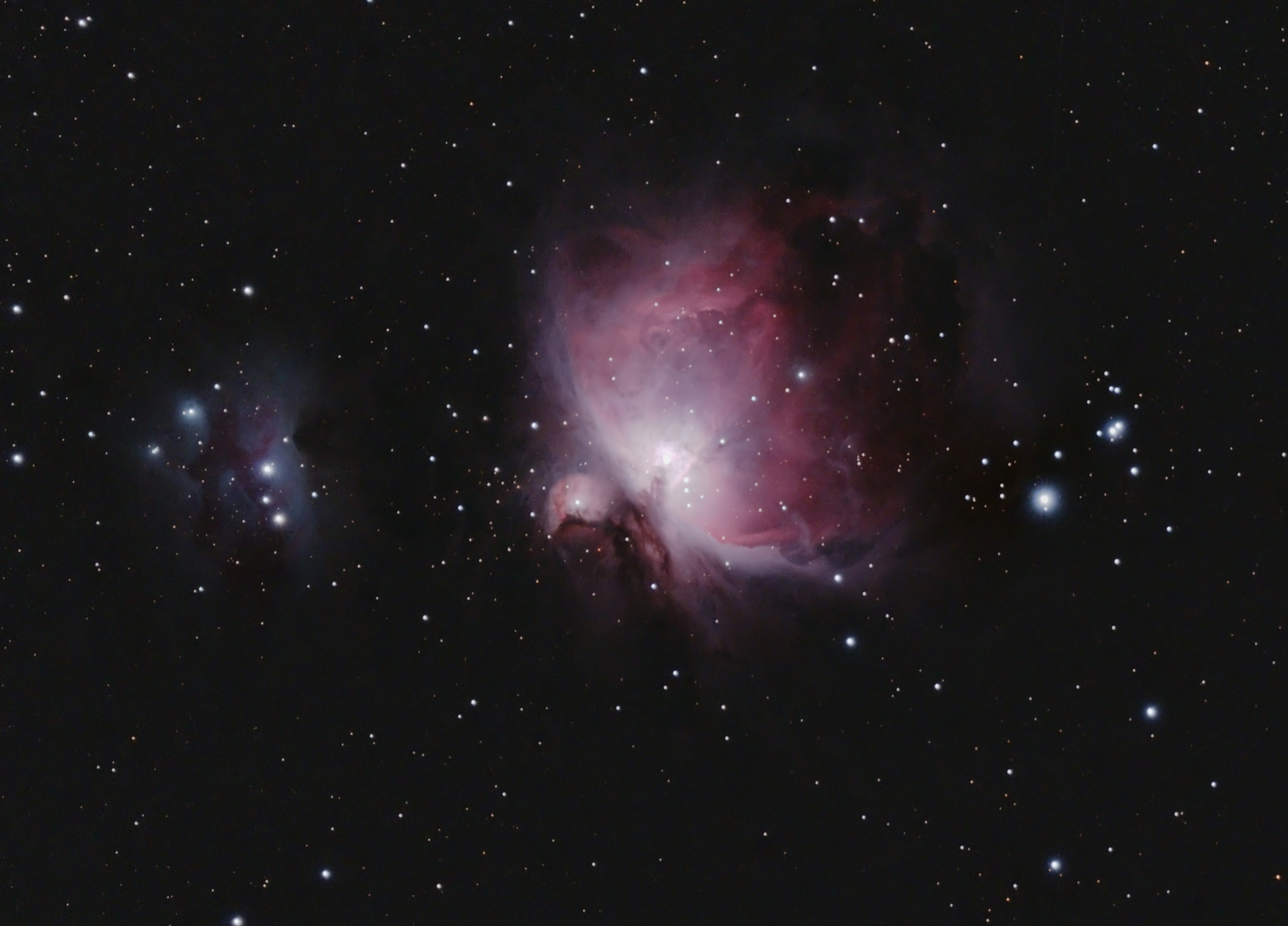
Orion and the Running Man

iOptron 42" Pier

Horse Of A Different Color
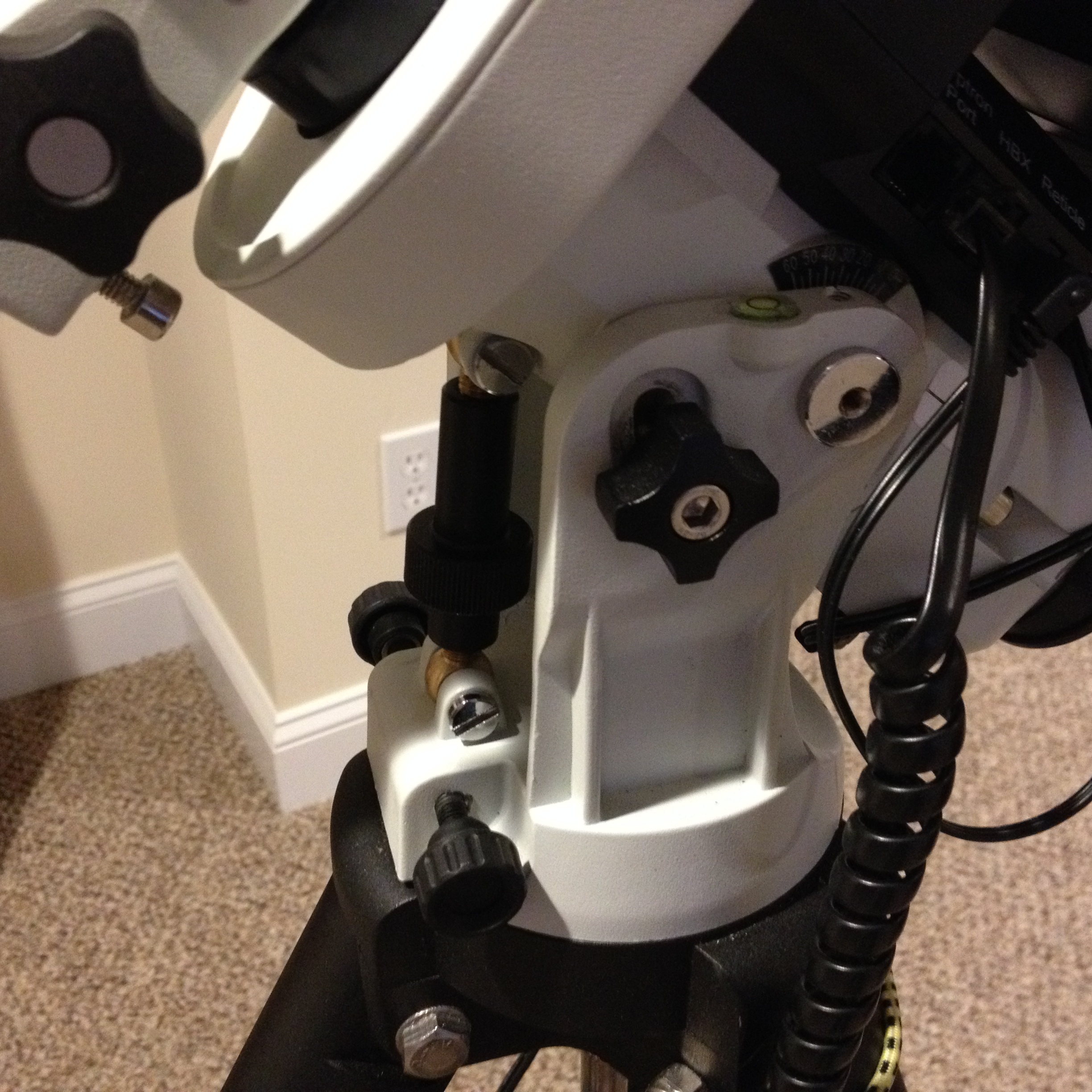
V5 Lat Lock ZEQ25
V5 Prototype
Talcott Mountain State Park - Trail to Heublein Tower

Boeing 707-321 (N714PA) Flight Deck, General View

Stay True

Saville Dam 2/Barkhamsted Reservoir - Barkhamsted, Connecticut - 1,000 Views and thanks to everyone!!! Special thanks in a comment on page 8.
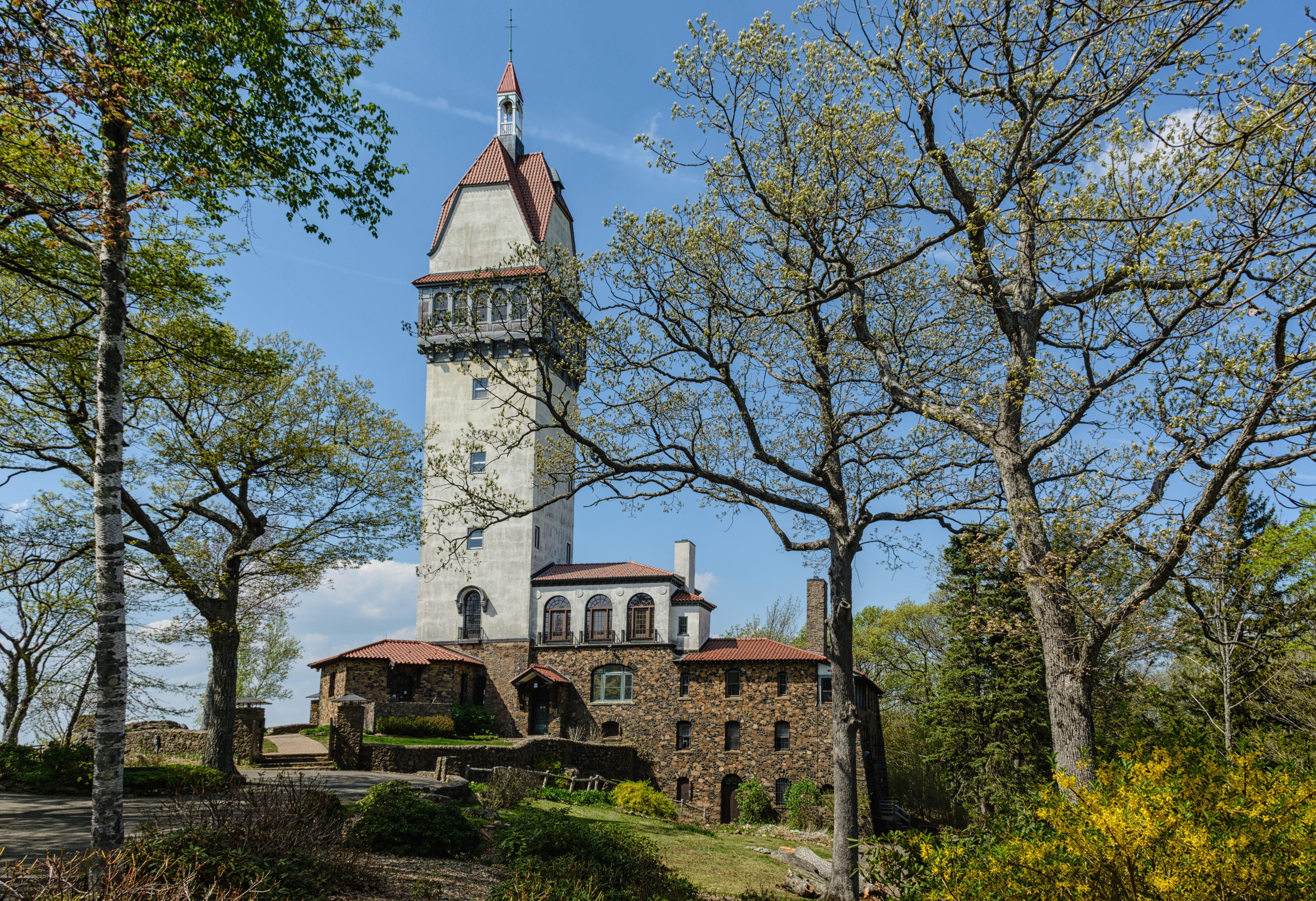
Heublein Tower, Talcott Mountain State Park, Simsbury, Connecticut

A southward view, again, from the top of the Tower

A southeastern view, again, from the top of the Tower
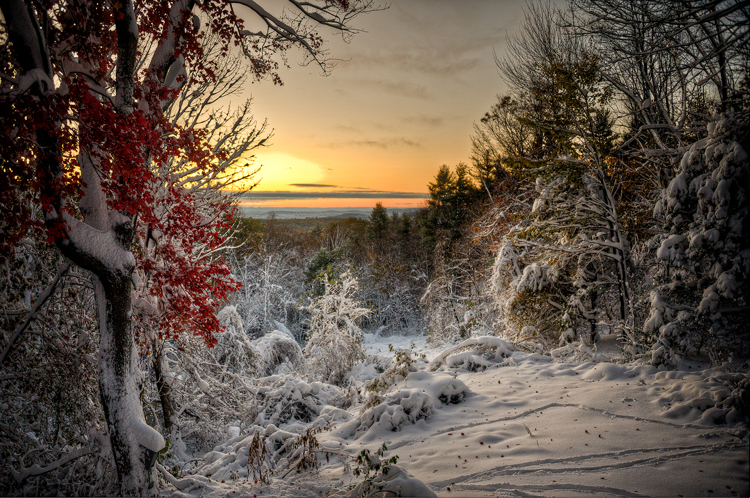
OctoberStorm2011.jpg

Sikorsky VS-44A 'Excambian'"

B-29 Superfortress: Jack's Hack

View for the mountain. #hikingct #simsbury #heubleintower #roadtrip
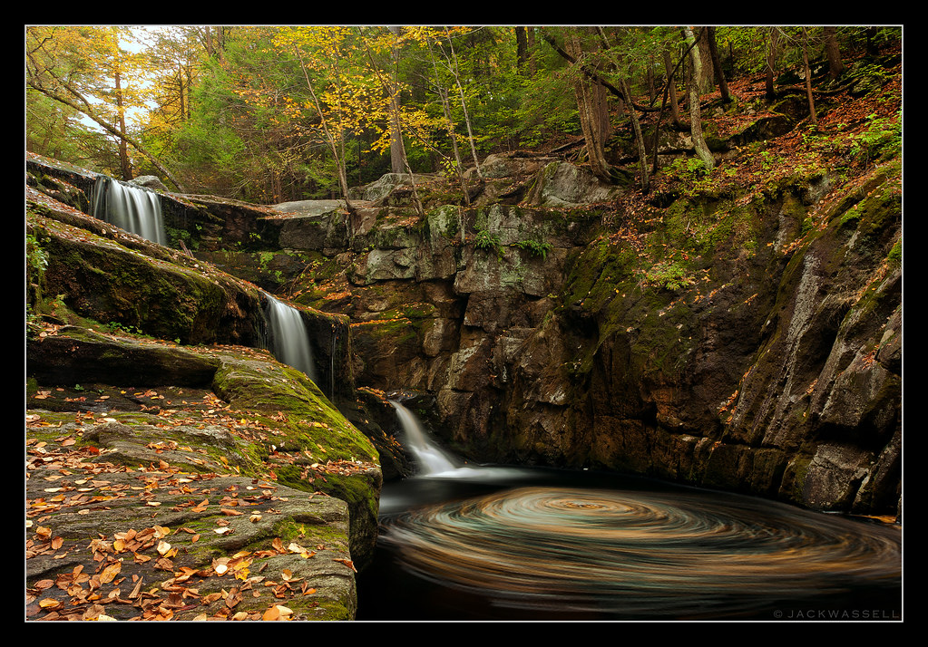
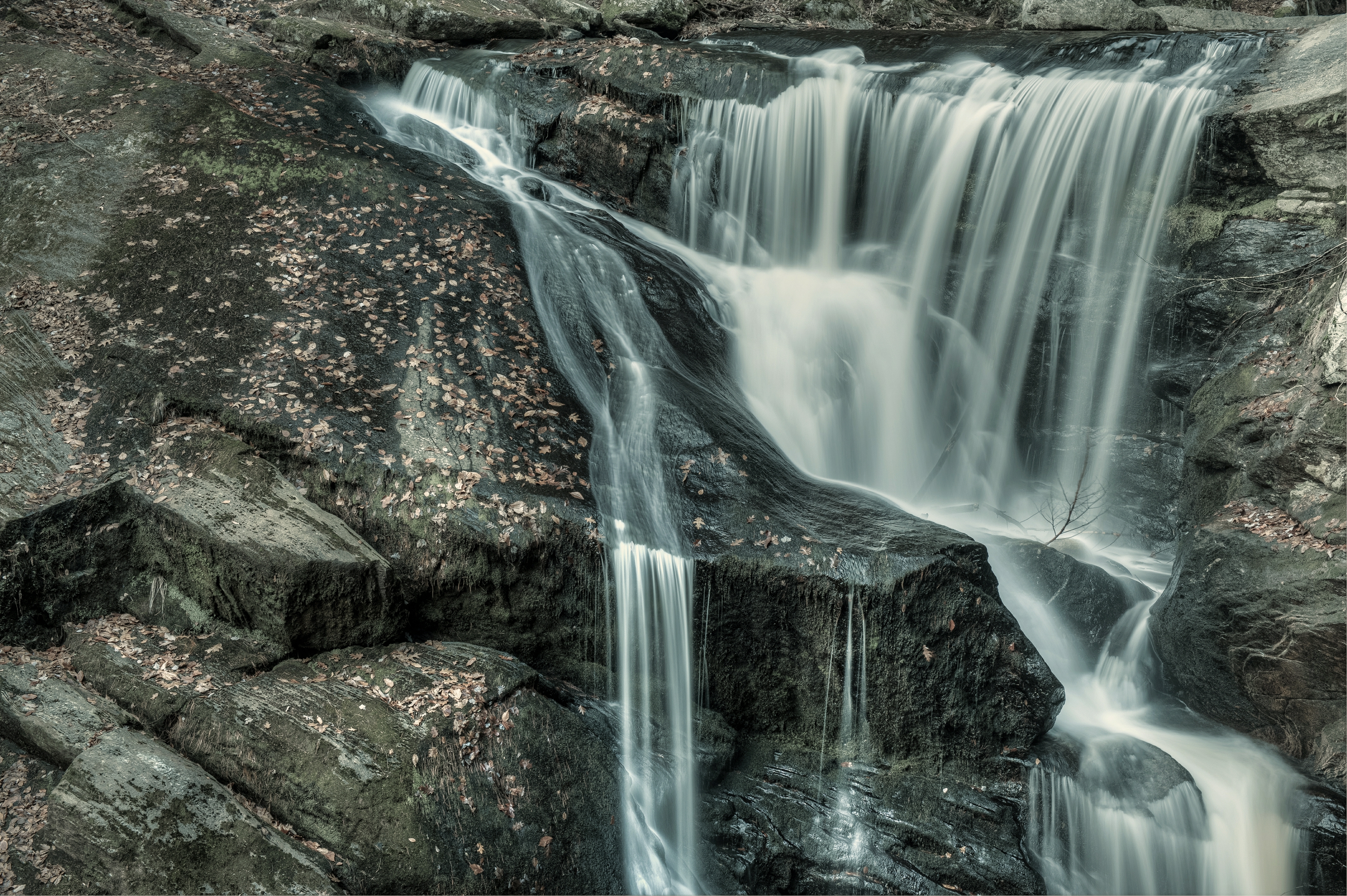
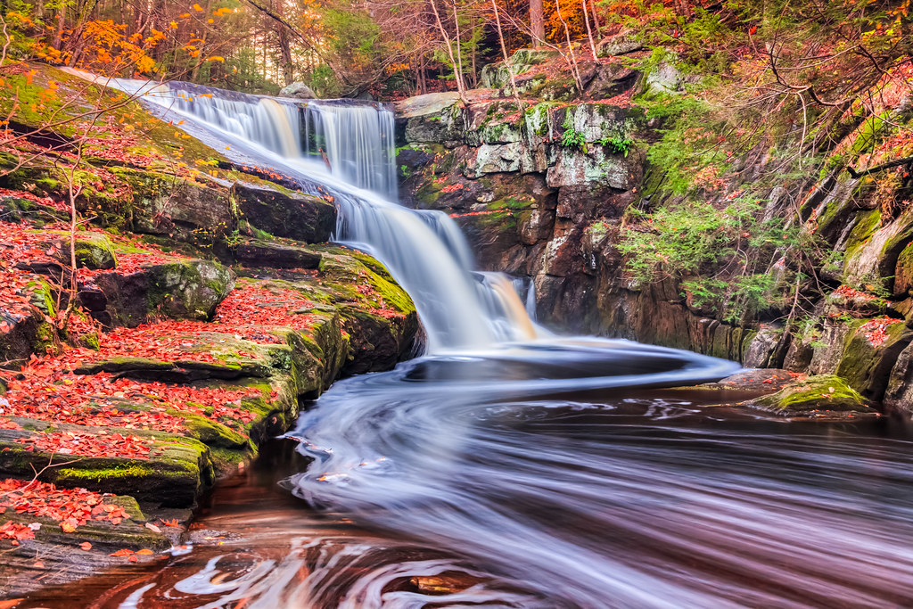
Autumn Swirls
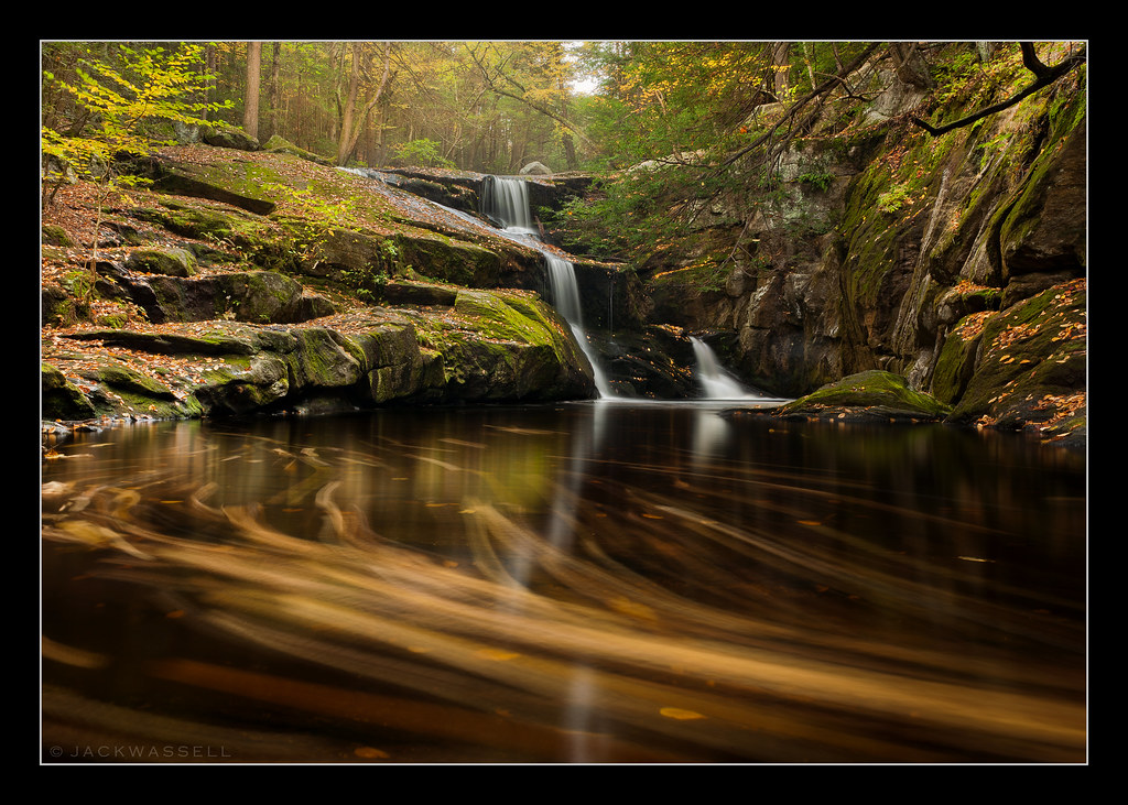
Autumn Race
Enders stream

Saville Dam

Suffield Wildlife Management Area - Southwick, Massachusetts

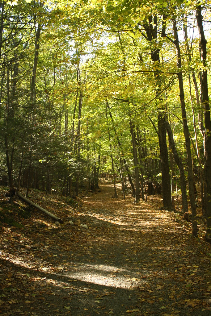
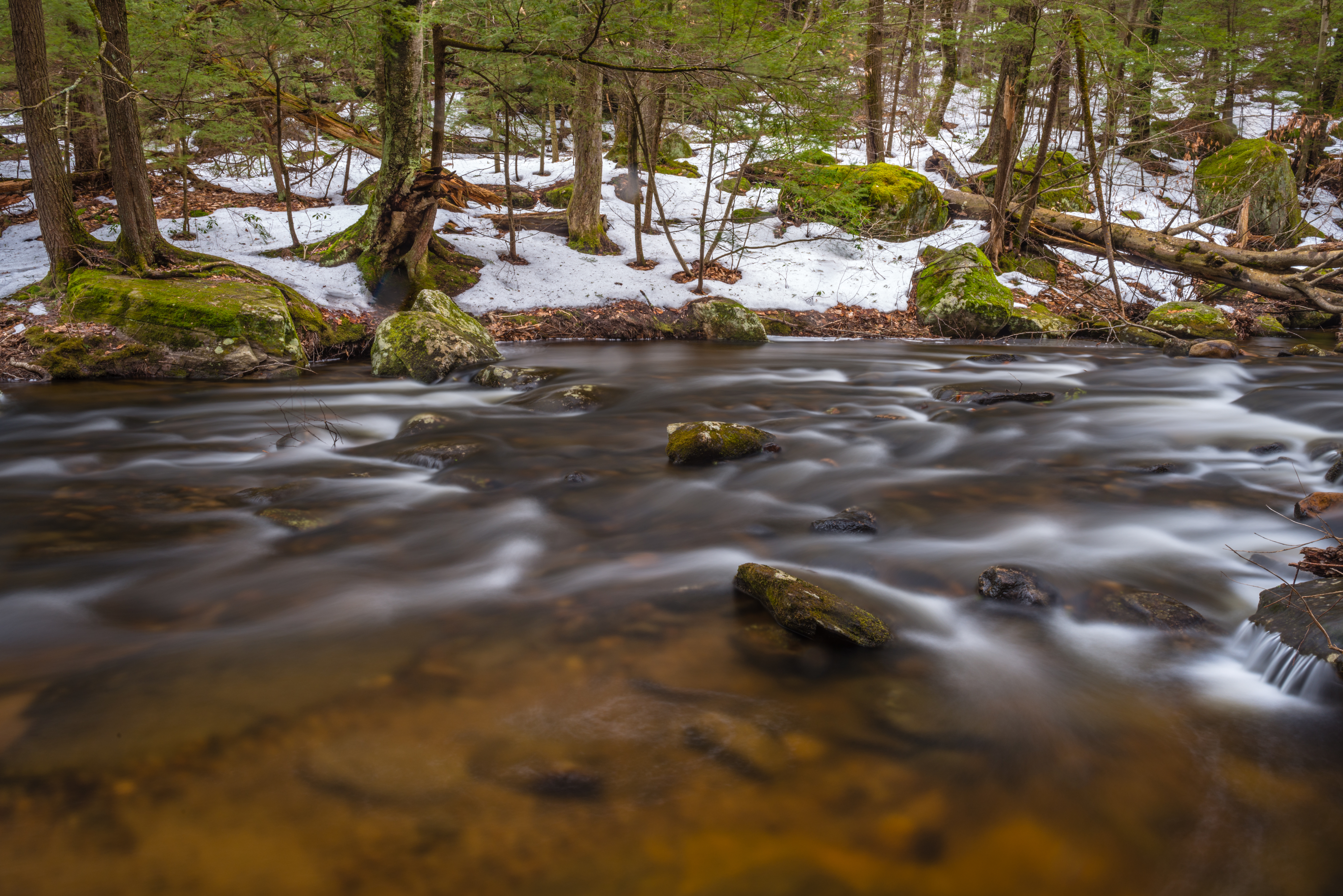
Out for a Hike

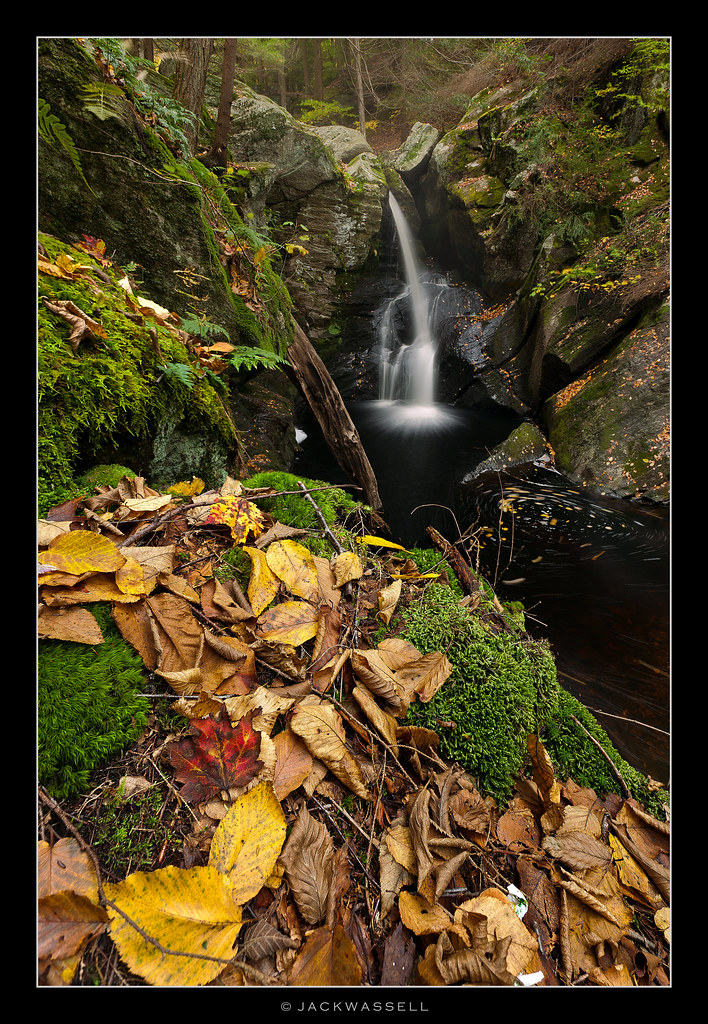
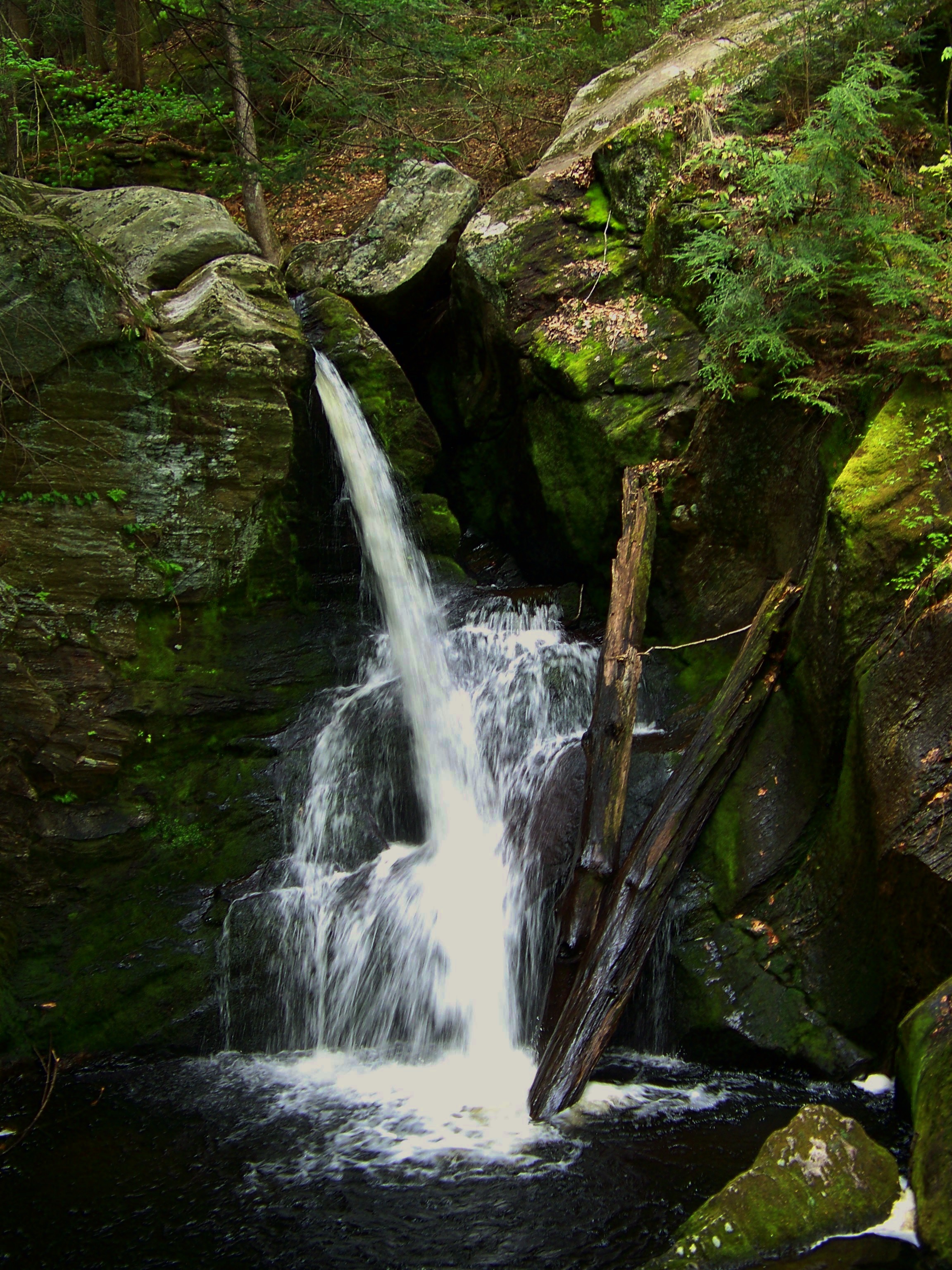
Enders falls
Enders Falls
I Keep on Fallin'
Enders Falls

Can't Change the Weather
As long as you follow...
Enders Falls

Enders little falls

Sayville Dam

Ore Hill Trail
DSC_0012.jpg

Simsbury Town Forest Park - West Simsbury, Connecticut

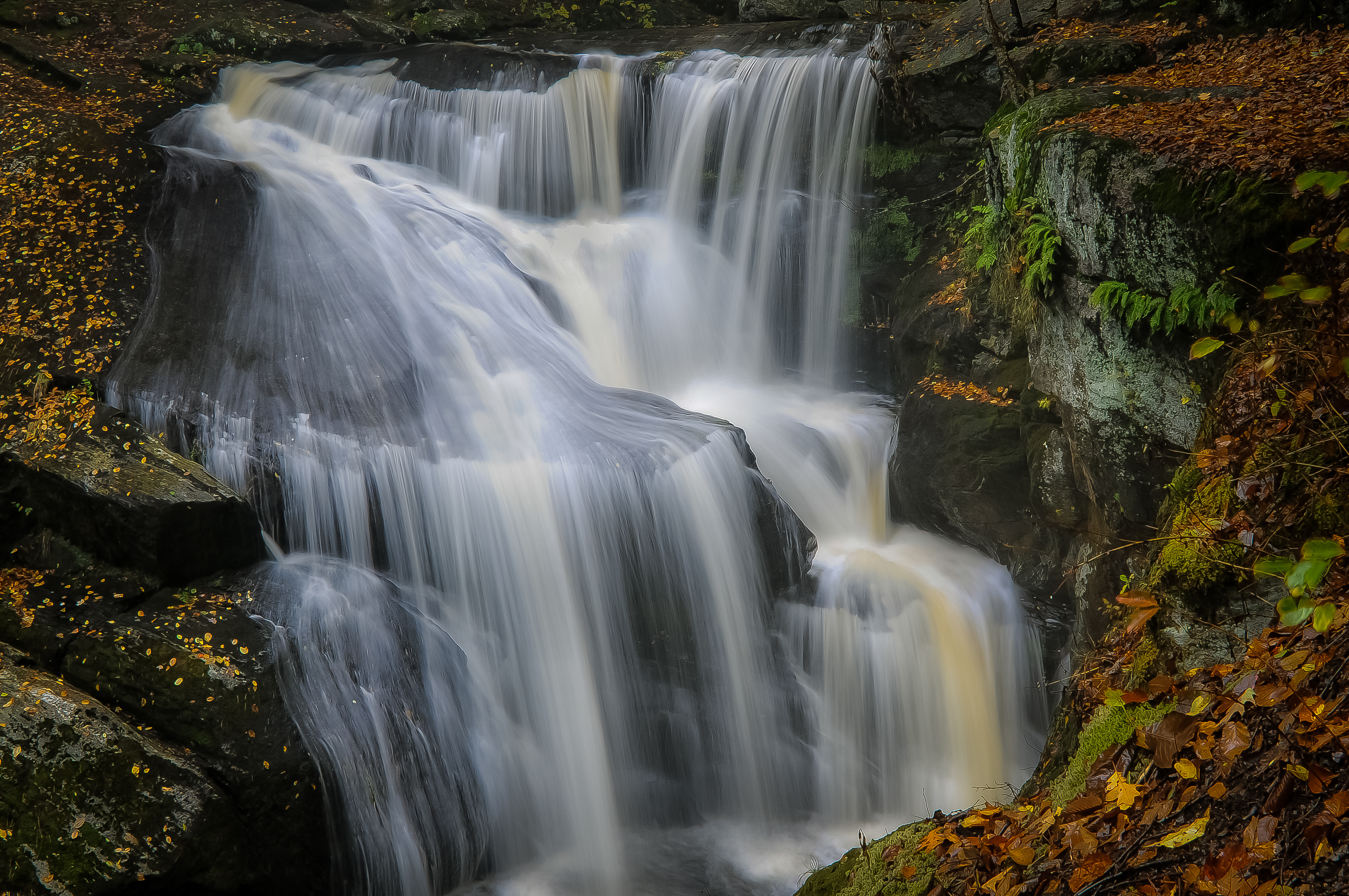
Enders main falls
Topographic Map of 20 Barkhamsted Rd, West Granby, CT, USA
Find elevation by address:

Places near 20 Barkhamsted Rd, West Granby, CT, USA:
15 Barkhamsted Rd
55 Barkhamsted Rd
72 Barkhamsted Rd
87 Barkhamsted Rd
West Granby, CT, USA
West Granby
88 Simsbury Rd
43 Cider Mill Heights
282 Hartland Rd
38 Cider Mill Heights
40 Cider Mill Heights
42 Cider Mill Heights
48 Cider Mill Heights
48 Cider Mill Heights
1 Cider Mill Heights
Silkey Road
34 Holcomb Hill Rd
15 Reed Hill Rd
17r Reed Hill Rd
282 Barkhamsted Rd
Recent Searches:
- Elevation of Corso Fratelli Cairoli, 35, Macerata MC, Italy
- Elevation of Tallevast Rd, Sarasota, FL, USA
- Elevation of 4th St E, Sonoma, CA, USA
- Elevation of Black Hollow Rd, Pennsdale, PA, USA
- Elevation of Oakland Ave, Williamsport, PA, USA
- Elevation of Pedrógão Grande, Portugal
- Elevation of Klee Dr, Martinsburg, WV, USA
- Elevation of Via Roma, Pieranica CR, Italy
- Elevation of Tavkvetili Mountain, Georgia
- Elevation of Hartfords Bluff Cir, Mt Pleasant, SC, USA