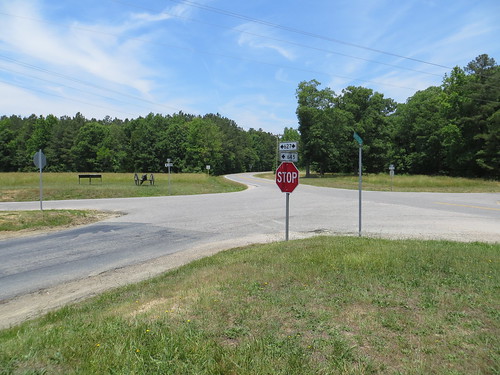
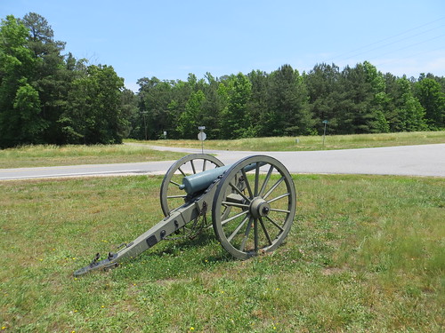
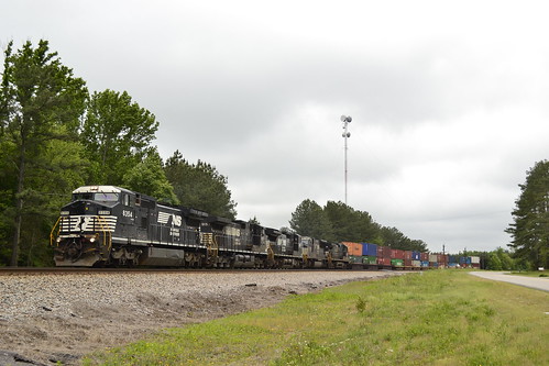
Elevation of 1, VA, USA
Location: United States > Virginia > Dinwiddie County >
Longitude: -77.768095
Latitude: 37.1522805
Elevation: 91m / 299feet
Barometric Pressure: 100KPa
Related Photos:
Topographic Map of 1, VA, USA
Find elevation by address:

Places in 1, VA, USA:
Places near 1, VA, USA:
Ford
9610 Baltimore Rd
Attaway Miniature Schnauzers
Church Road
7100 Namozine Rd
Wilson Rd, Wilsons, VA, USA
Wilsons
5, VA, USA
Mannboro
4329 Cralles Rd
Dinwiddie County
11600 Sweathouse Creek Lane
District 5
19714 Manson Church Rd
5375 Cralles Rd
19101 River Rd
Dewitt
Deep Creek Court
Deep Creek Drive
Boydton Plank Rd, Dewitt, VA, USA
Recent Searches:
- Elevation of Corso Fratelli Cairoli, 35, Macerata MC, Italy
- Elevation of Tallevast Rd, Sarasota, FL, USA
- Elevation of 4th St E, Sonoma, CA, USA
- Elevation of Black Hollow Rd, Pennsdale, PA, USA
- Elevation of Oakland Ave, Williamsport, PA, USA
- Elevation of Pedrógão Grande, Portugal
- Elevation of Klee Dr, Martinsburg, WV, USA
- Elevation of Via Roma, Pieranica CR, Italy
- Elevation of Tavkvetili Mountain, Georgia
- Elevation of Hartfords Bluff Cir, Mt Pleasant, SC, USA
