Elevation of 1 STARRY NIGHT, Olde Stone Dr, Crumpler, NC, USA
Location: United States > North Carolina > Ashe County > Walnut Hill > Crumpler >
Longitude: -81.425553
Latitude: 36.4589524
Elevation: 1054m / 3458feet
Barometric Pressure: 89KPa
Elevation Map:
Satellite Map:
Related Photos:
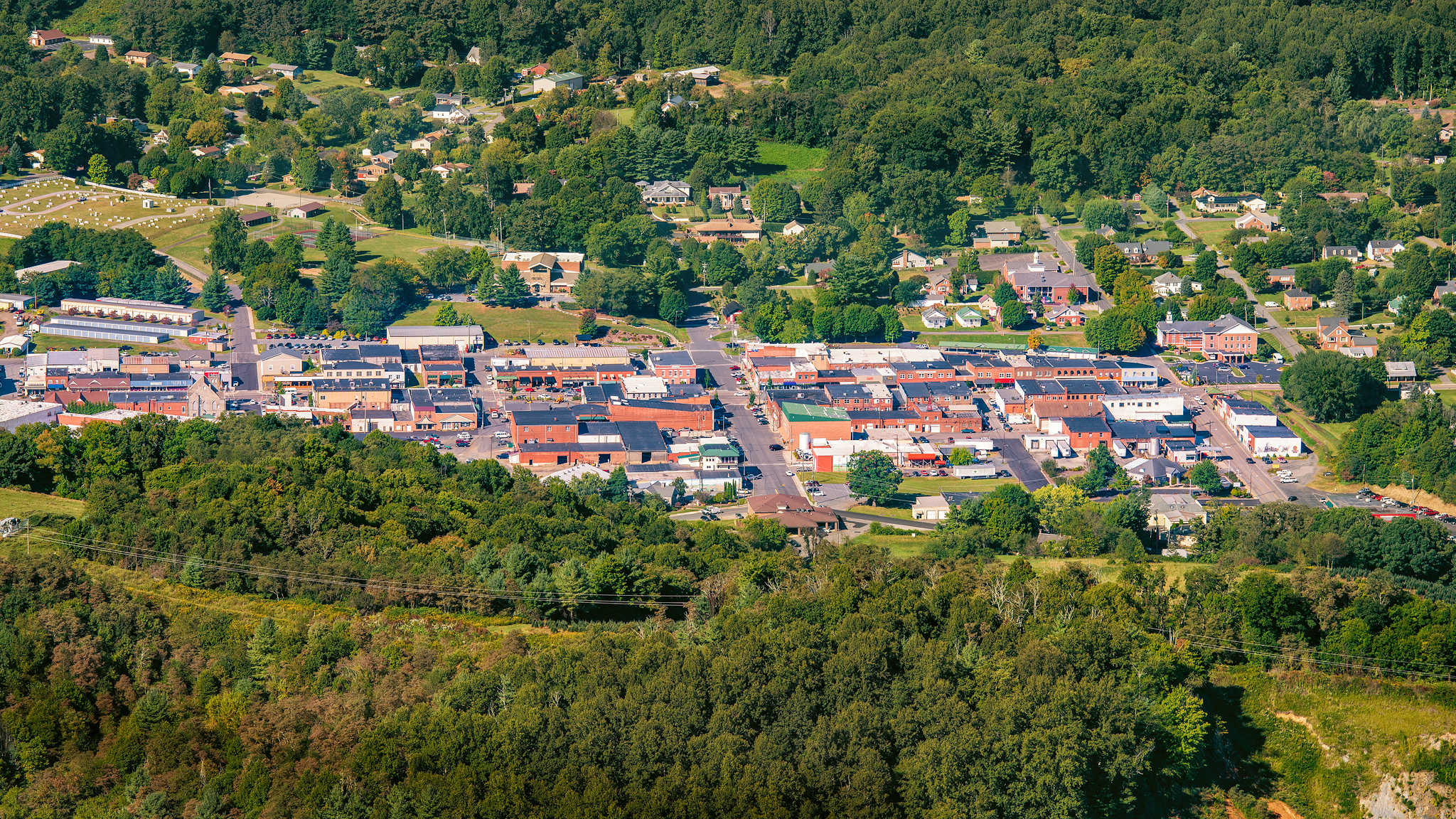
West Jefferson, North Carolina

Luther Rock View
View of W4C/EM-014 - Three Top Mountain

View of W4C/EM-014 - Three Top Mountain

Early Fall in the Southern Appalachians

View from Betsey's Rock Falls Overlook - Blue Ridge Parkway

View Along W4C/EM-014 - Three Top Mountain Ridge Line

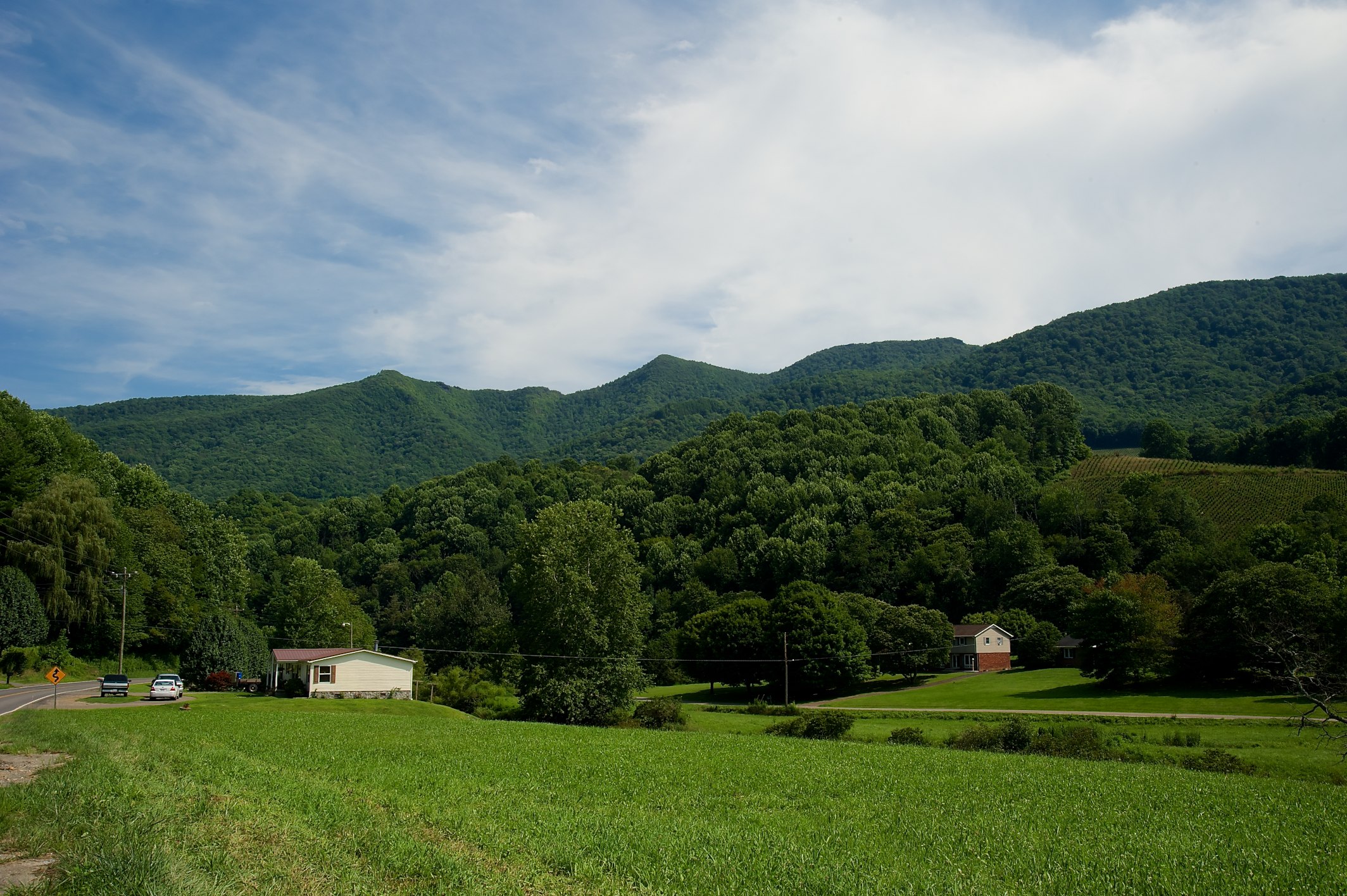
Views From Mt Jefferson, Ashe County

loaded tandem

Mount Jefferson State Natural Area

Mount Jefferson State Natural Area

view from up the hill

Mount Jefferson State Natural Area
Mount Jefferson State Natural Area
Mount Jefferson State Natural Area

Mount Jefferson State Natural Area

the view

Mount Jefferson

View on the Mount Jefferson TRACK Trail

Parkway 256

My view at the park.

Farm in the Mountains

Old Barn & Goldenrod 261/365

river and her momma to be

After the storm

W4C/EM-014 - Three Top Mountain Summit

Shatley Springs Cabins and Trading Post, Ashe County

Great arch at stone mountain

Week 3/52 Theme: Liquid; Solid Dihydrogen monoxide Stalactite Phase Transitions to Liquid

Warren Dean Lawrence (5/21/1921 - 3/11/2003)

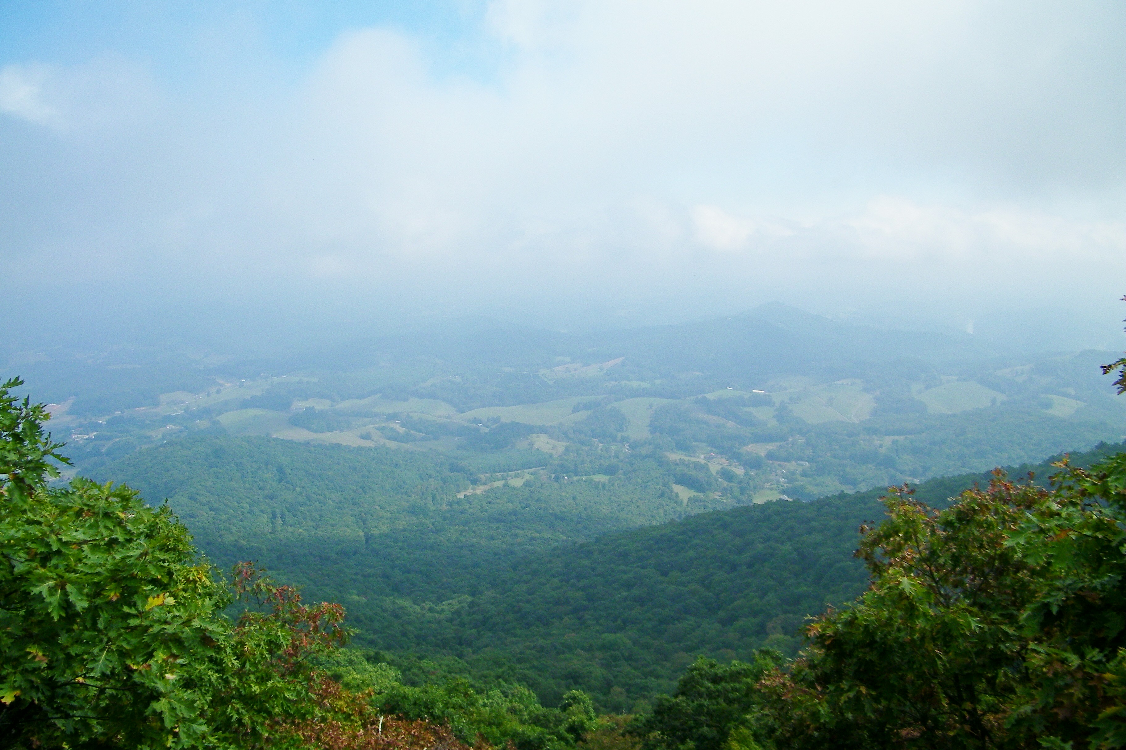
Fall Hike at Mount Jefferson

118/365: Thursday, April 28, 2011: DeBoard's Fox Hunt Farm, Grassy Creek, Ashe County, North Carolina

New River at Scottville, North Carolina

Day Moon over blueberry field at Old Orchard Creek Farm, Lansing, NC - 2

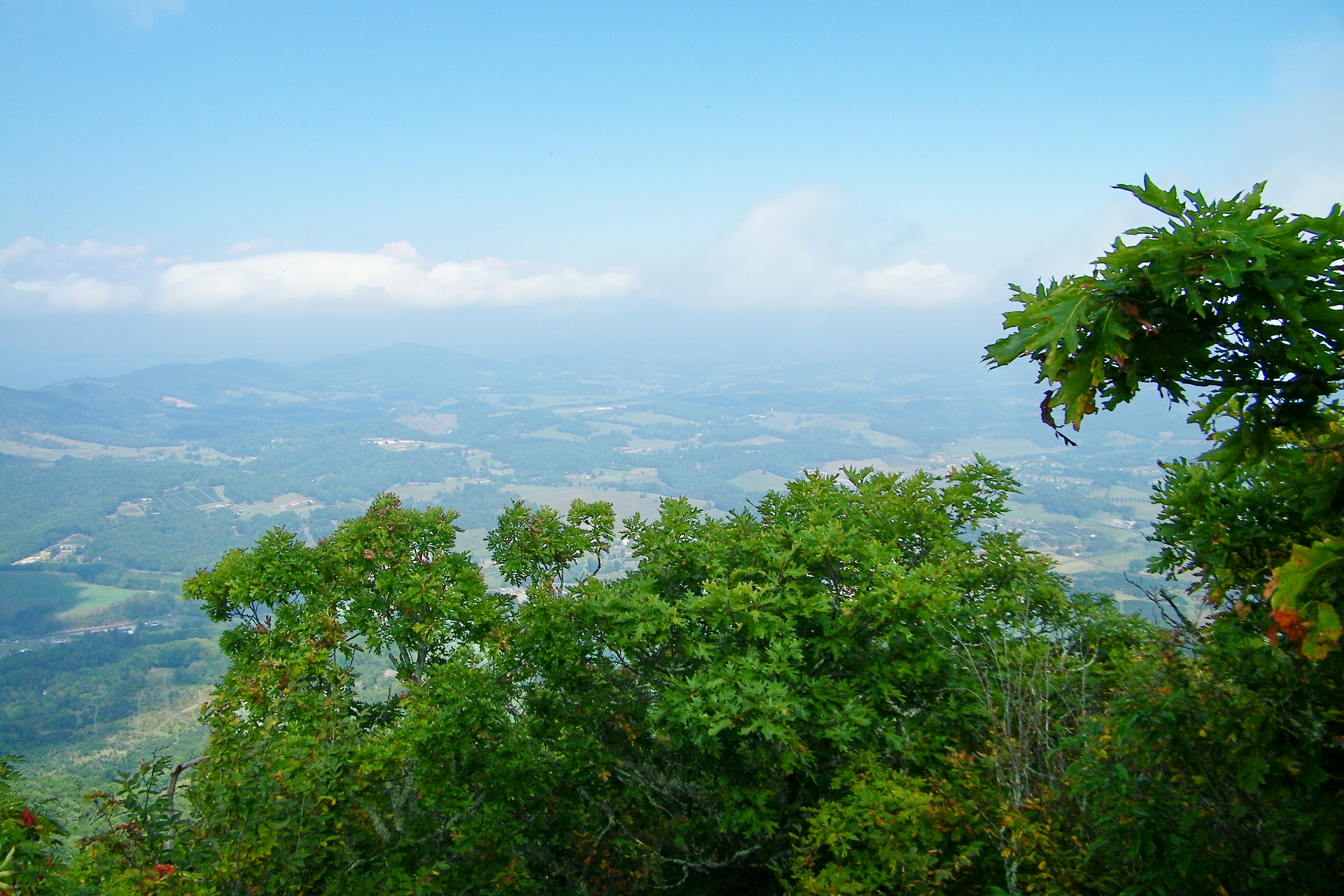
Panorama from West Jefferson to Jefferson as seen from clifftops of Mount Jefferson, NC

New River at Joe Little Road, Jefferson, Ashe County, North Carolina
Topographic Map of 1 STARRY NIGHT, Olde Stone Dr, Crumpler, NC, USA
Find elevation by address:

Places near 1 STARRY NIGHT, Olde Stone Dr, Crumpler, NC, USA:
805 Olde Stone Dr
272 Olde Stone Ridge
Salamander Creek
Flat Rock Road
Woodland Ridge
109 Bobcat Run
Shatley Road
809 Shatley Rd
353 Amberly Ln
307 Shady Ln
343 Stanley Blevins Rd
191 Wind Walk Rd
240 Greensboro Rd
Edwin Blevins Road
Roby Poe Road
457 Walnut Hills Cir
270 Walnut Hills Cir
717 Deep Ford Rd
615 Silas Creek Rd
Shatley Springs
Recent Searches:
- Elevation of Corso Fratelli Cairoli, 35, Macerata MC, Italy
- Elevation of Tallevast Rd, Sarasota, FL, USA
- Elevation of 4th St E, Sonoma, CA, USA
- Elevation of Black Hollow Rd, Pennsdale, PA, USA
- Elevation of Oakland Ave, Williamsport, PA, USA
- Elevation of Pedrógão Grande, Portugal
- Elevation of Klee Dr, Martinsburg, WV, USA
- Elevation of Via Roma, Pieranica CR, Italy
- Elevation of Tavkvetili Mountain, Georgia
- Elevation of Hartfords Bluff Cir, Mt Pleasant, SC, USA