Elevation of 1 St NE, Manning, AB T0H 2M0, Canada
Location: Canada > Alberta > Division No. 17 >
Longitude: -117.62652
Latitude: 56.923447
Elevation: 460m / 1509feet
Barometric Pressure: 96KPa
Elevation Map:
Satellite Map:
Related Photos:
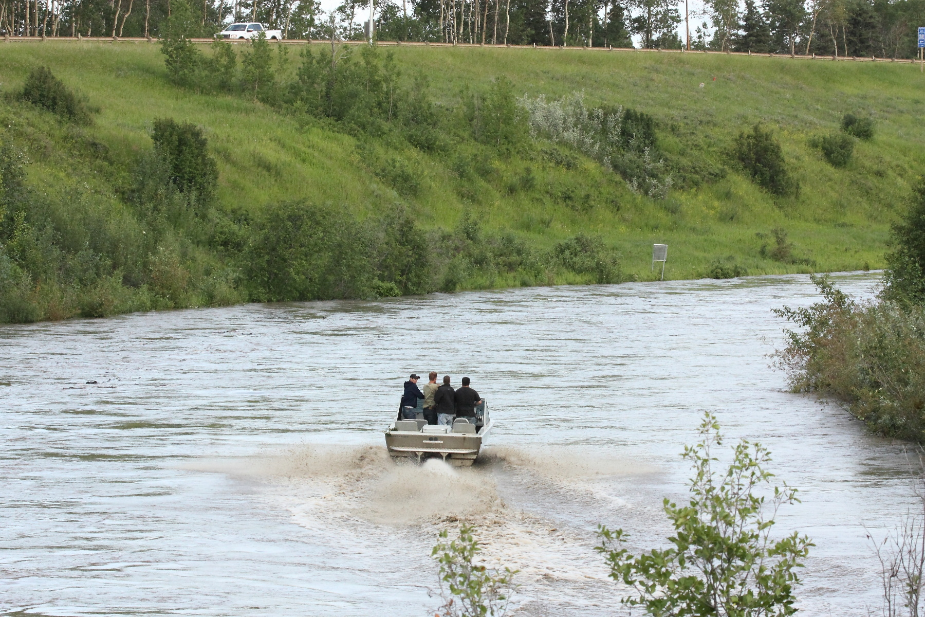
Jet Boat in Manning
Supper time

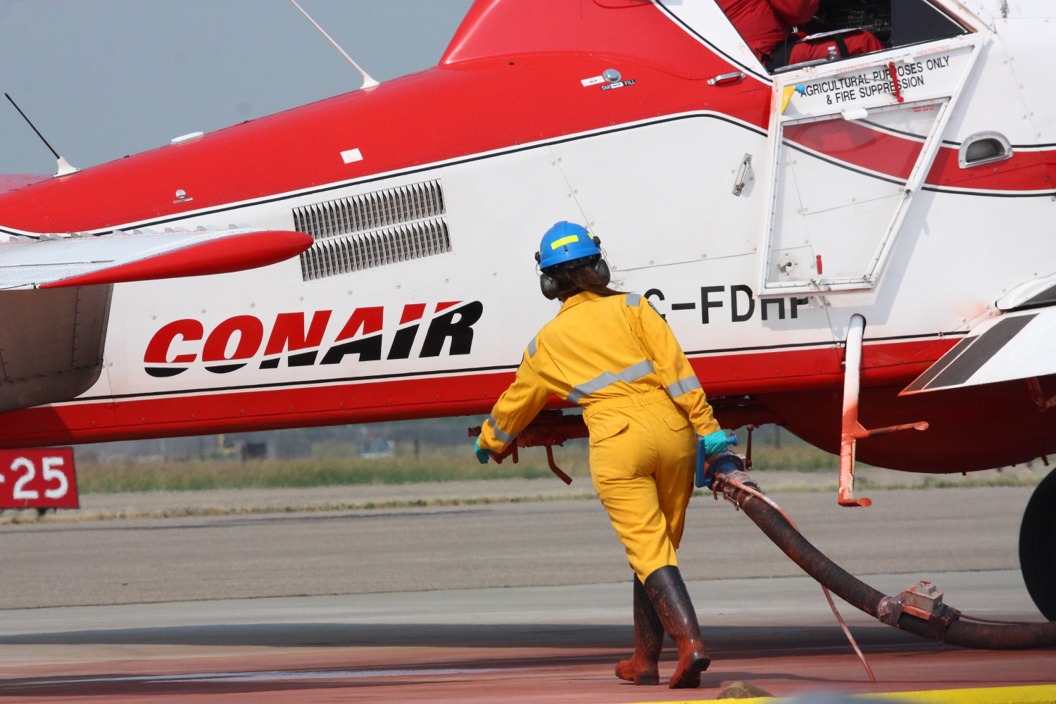
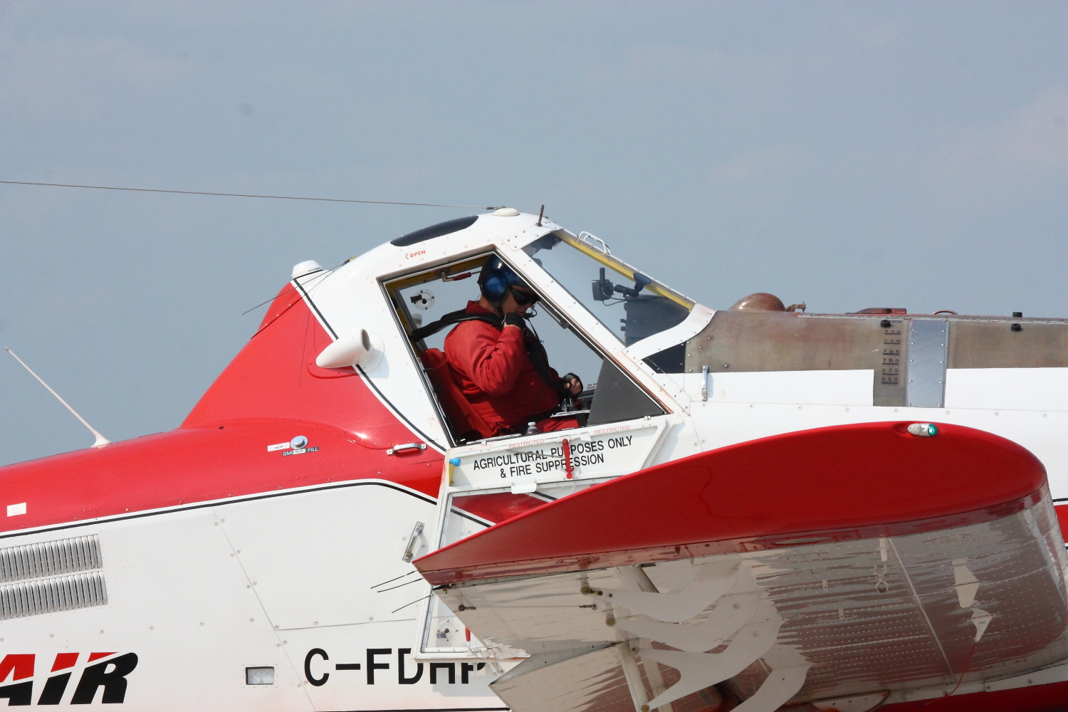
Water Bomber
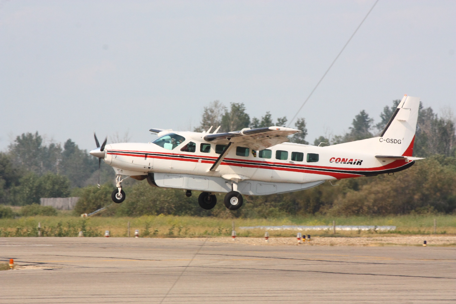
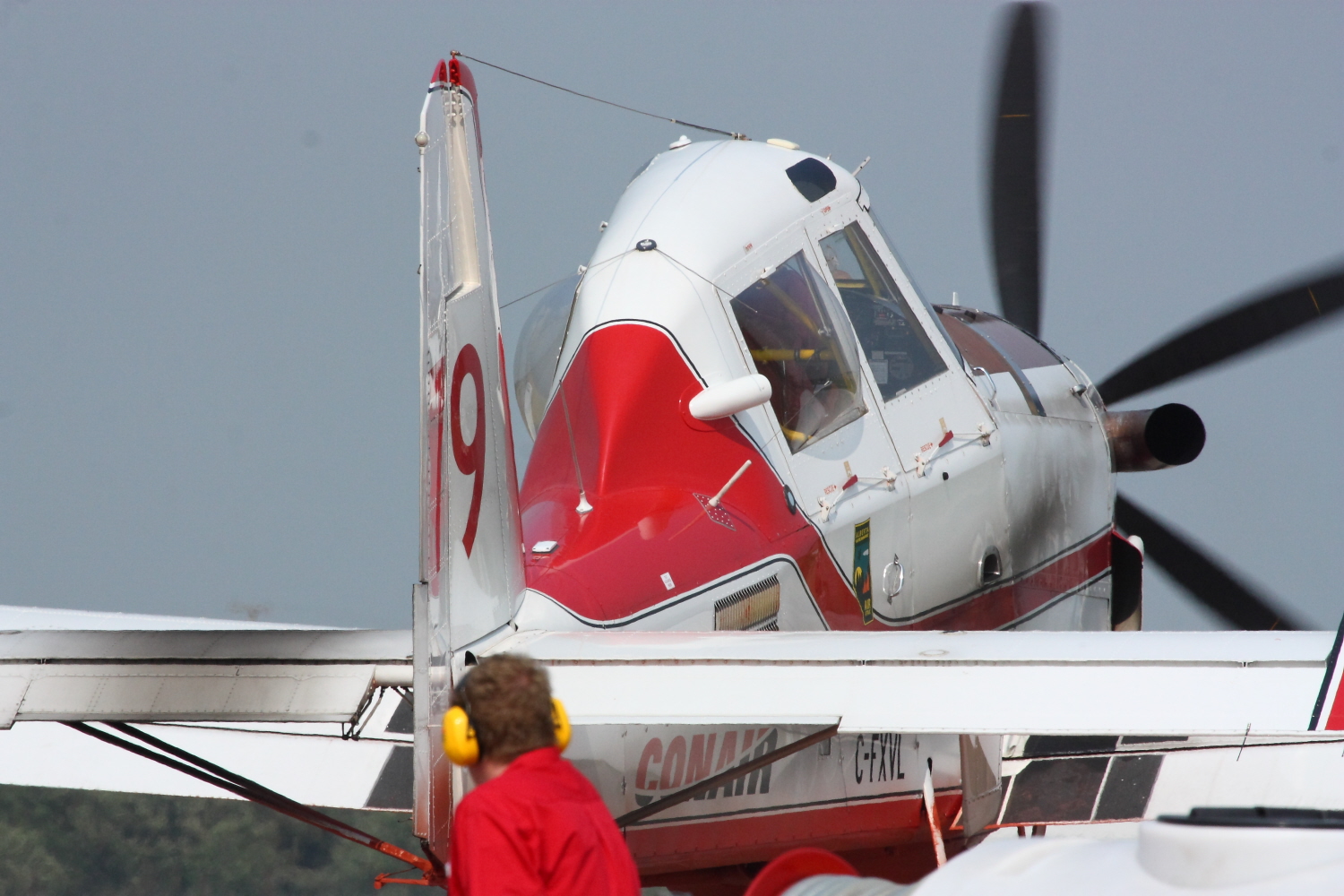
Bird Dog
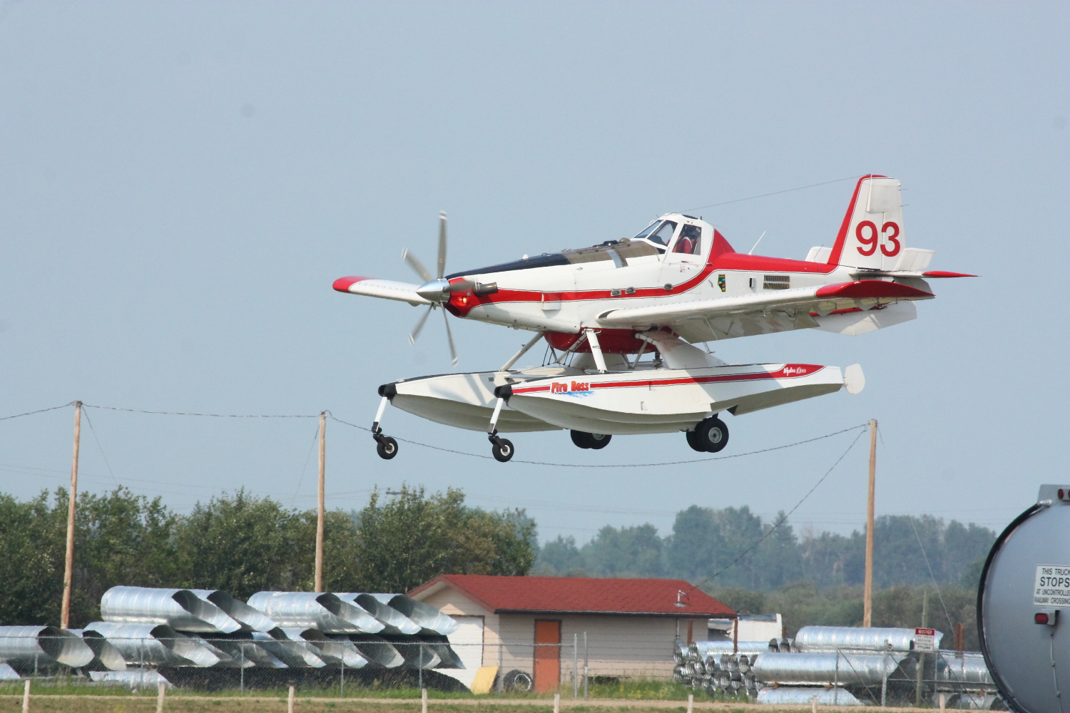
Water Bomber
Water Bomber
Water Bomber
Water Bomber
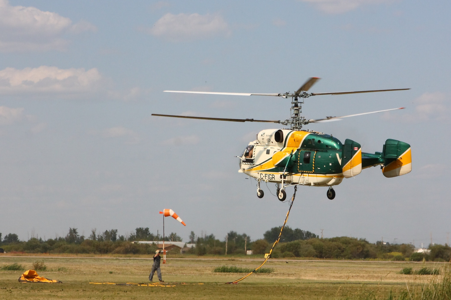
Kamov Ka-32A

Wilson's Warbler

Wilson's Warbler
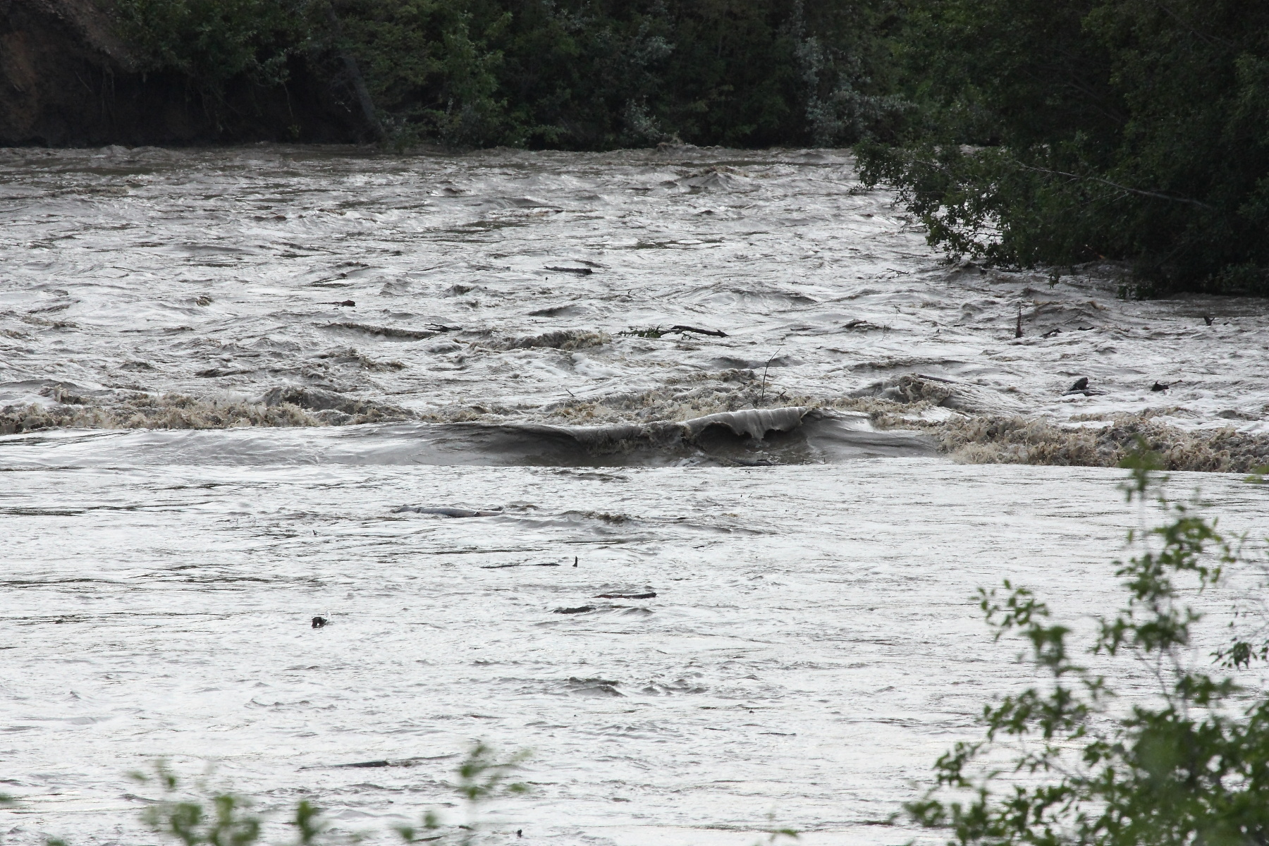
Flooding in manning
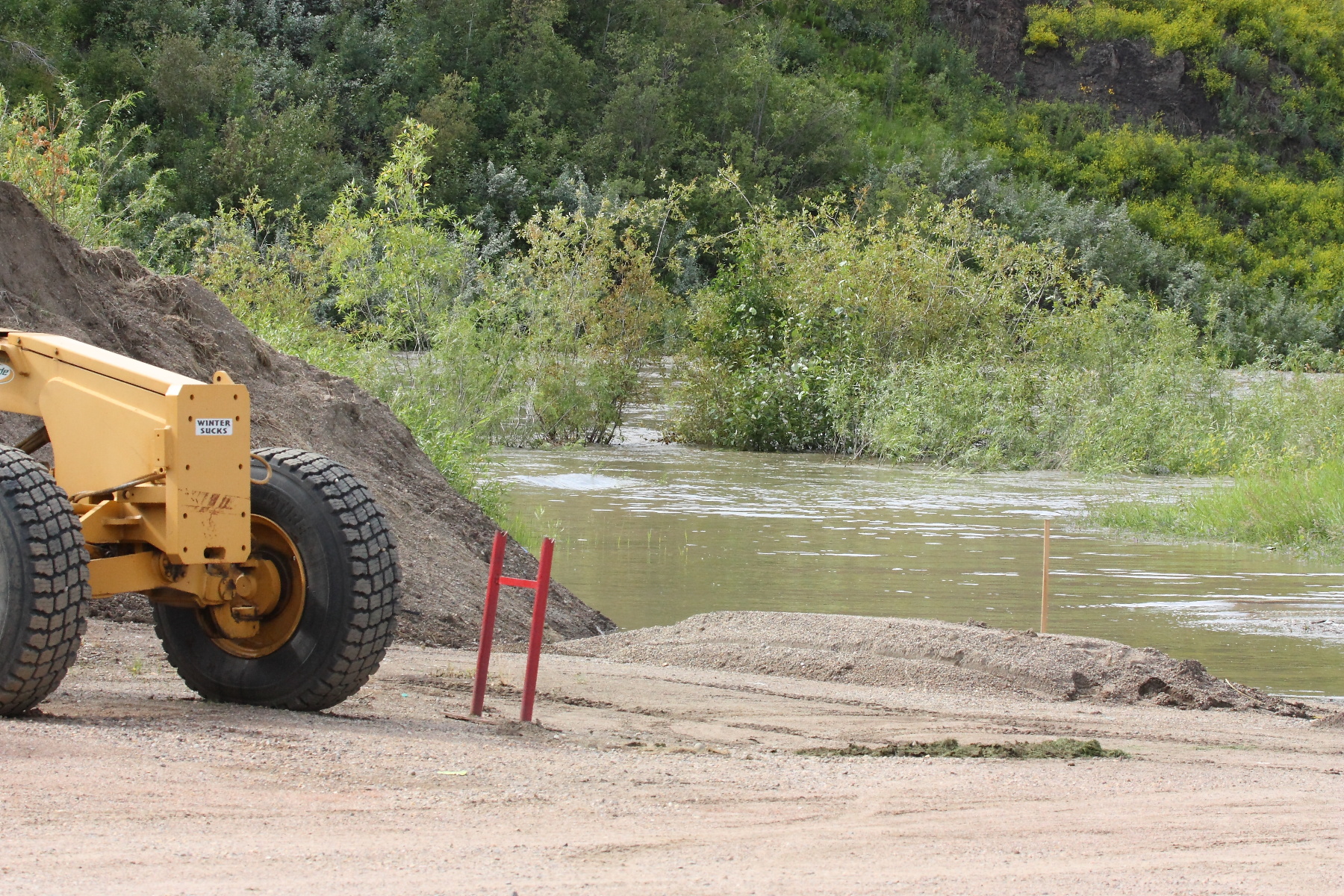
Flooding in manning
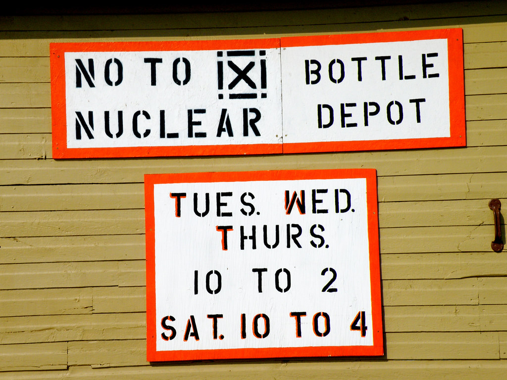
Bottle Depot
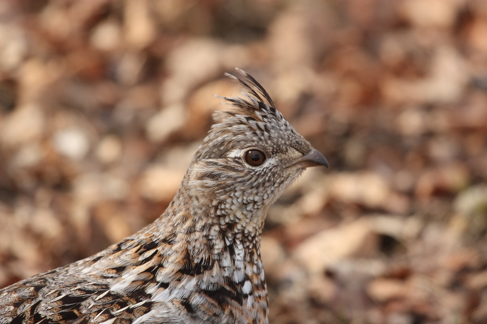
Grouse Hen
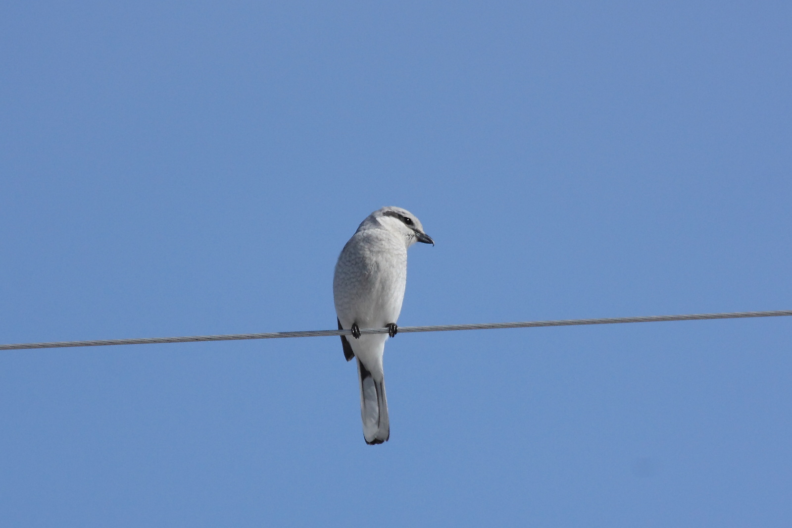
Northern Shrike
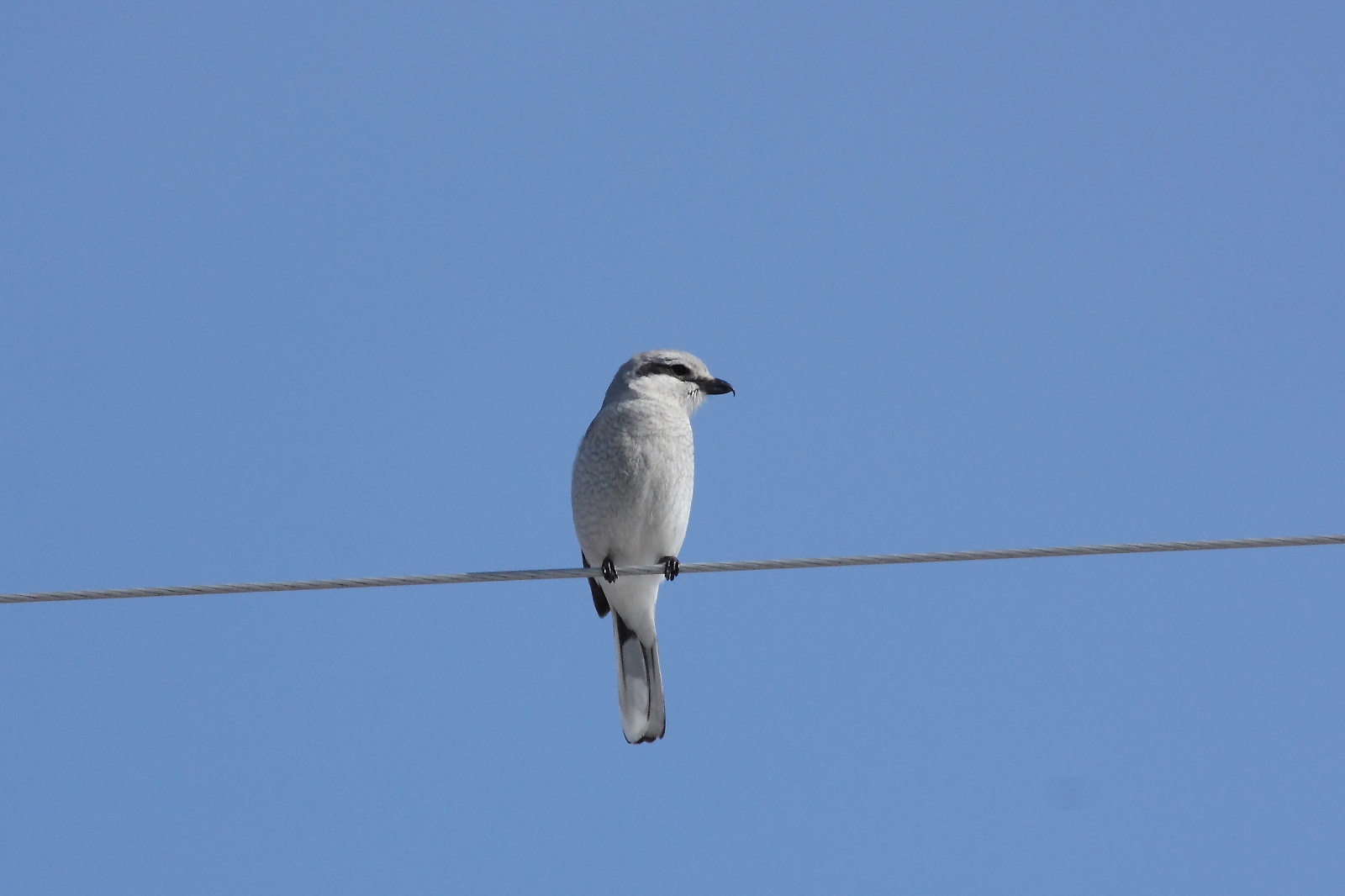
Northern Shrike
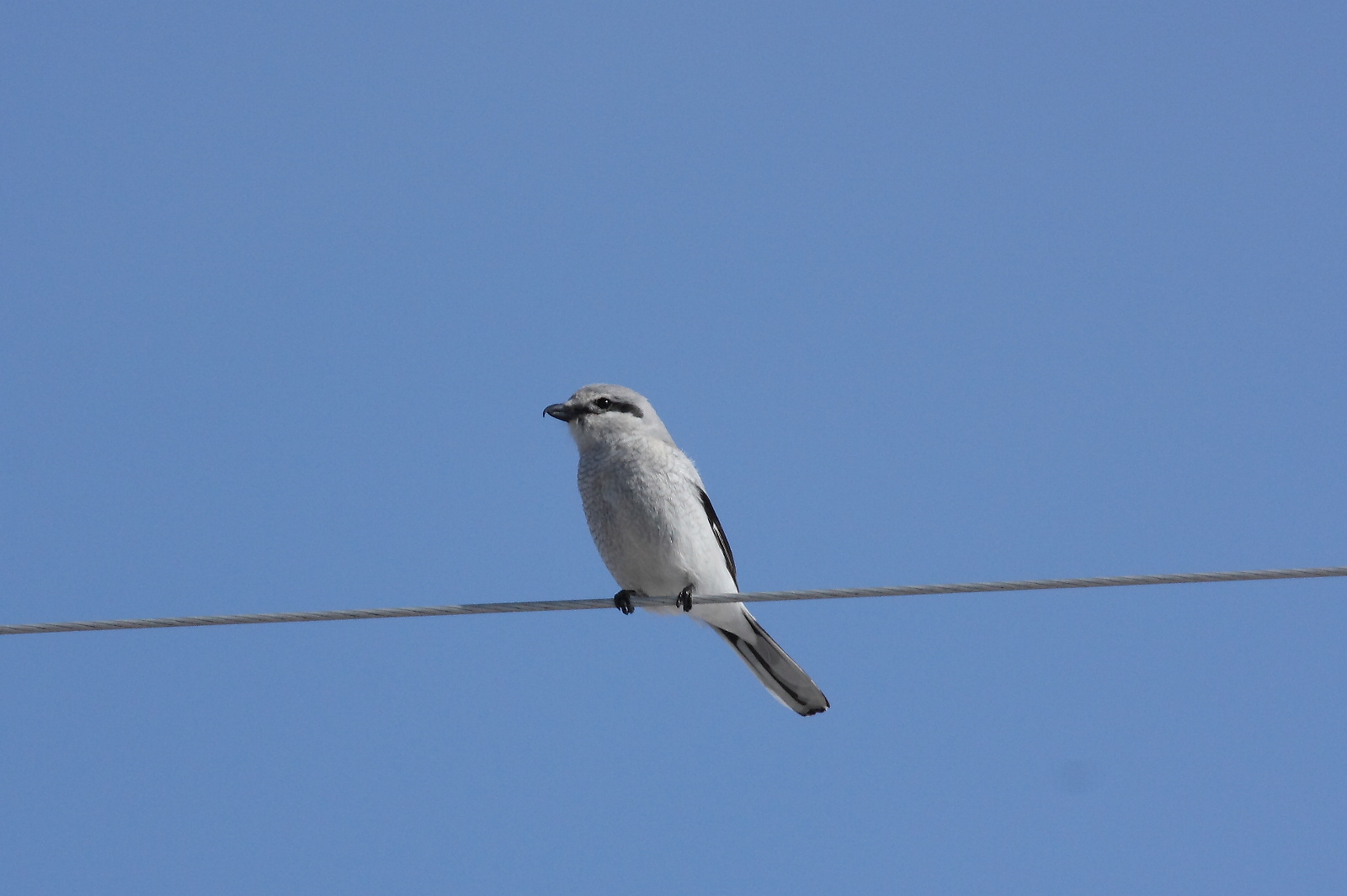
Northern Shrike

Learning the moves.

Highland dancer.
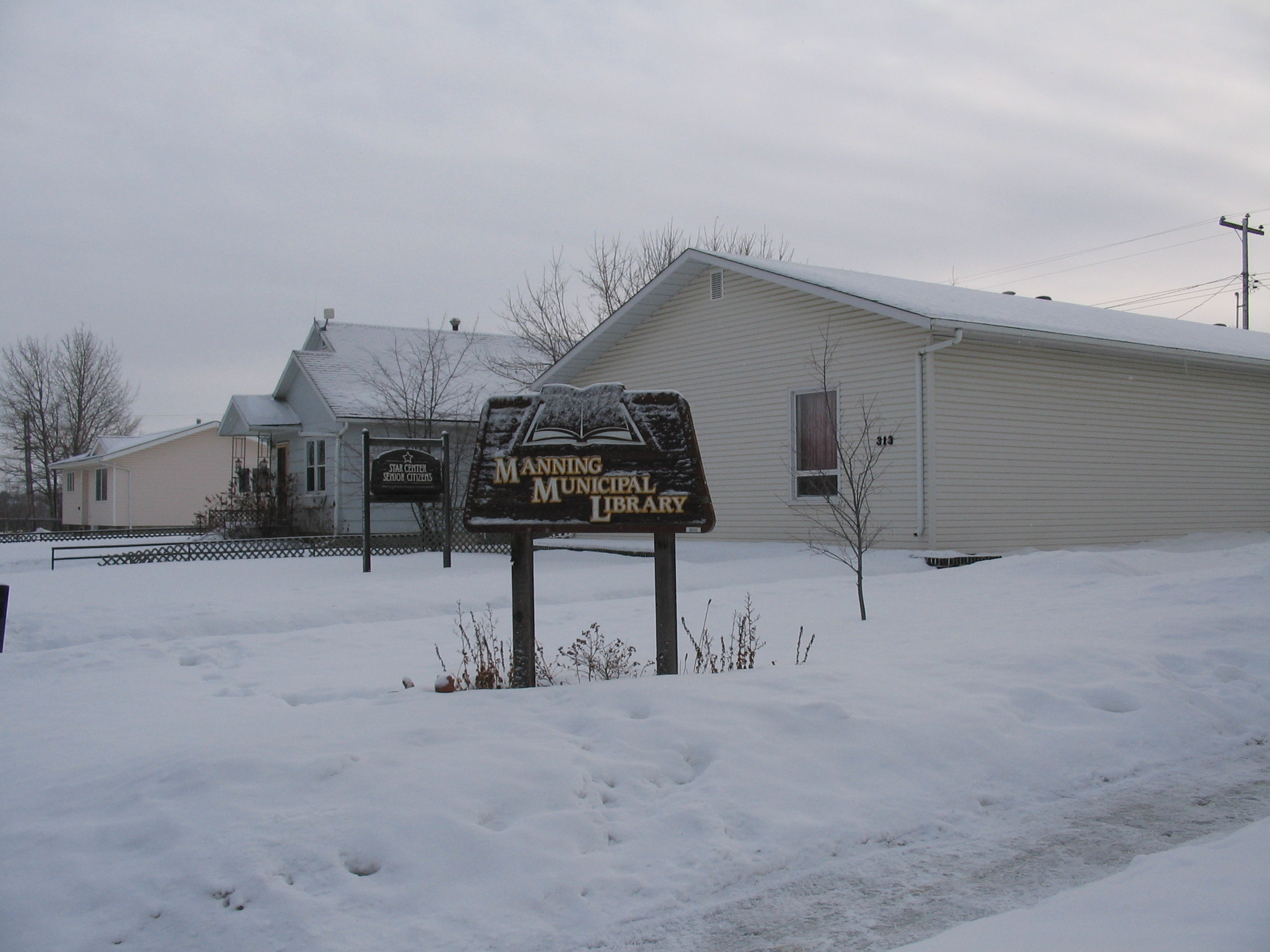
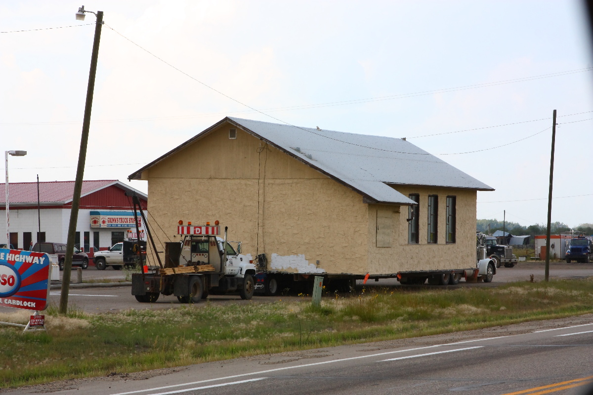
Manning library 032
Topographic Map of 1 St NE, Manning, AB T0H 2M0, Canada
Find elevation by address:

Places near 1 St NE, Manning, AB T0H 2M0, Canada:
Recent Searches:
- Elevation of Corso Fratelli Cairoli, 35, Macerata MC, Italy
- Elevation of Tallevast Rd, Sarasota, FL, USA
- Elevation of 4th St E, Sonoma, CA, USA
- Elevation of Black Hollow Rd, Pennsdale, PA, USA
- Elevation of Oakland Ave, Williamsport, PA, USA
- Elevation of Pedrógão Grande, Portugal
- Elevation of Klee Dr, Martinsburg, WV, USA
- Elevation of Via Roma, Pieranica CR, Italy
- Elevation of Tavkvetili Mountain, Georgia
- Elevation of Hartfords Bluff Cir, Mt Pleasant, SC, USA