Elevation of 1 Martin Cir, Peabody, MA, USA
Location: United States > Massachusetts > Essex County > Peabody >
Longitude: -70.989066
Latitude: 42.5548352
Elevation: -10000m / -32808feet
Barometric Pressure: 295KPa
Elevation Map:
Satellite Map:
Related Photos:

Charging Swan

Red Daylilies

Autumn Palette
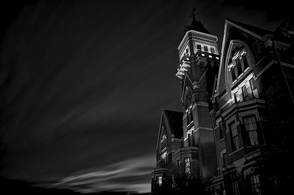
DANVERS STATE HOSPITAL, MASSACHUSETTS

HYDRA IS UPON US

Dawning of Night
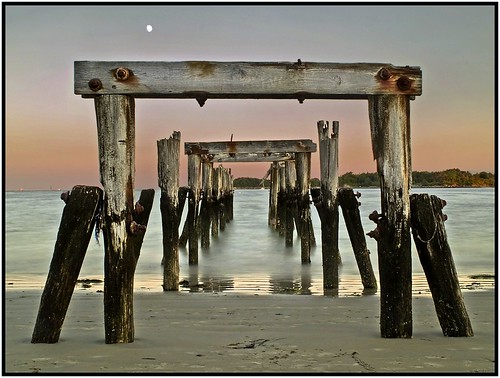
TWILIGHT PIER

Salem MA - John Ward House 02

comings... and goings....
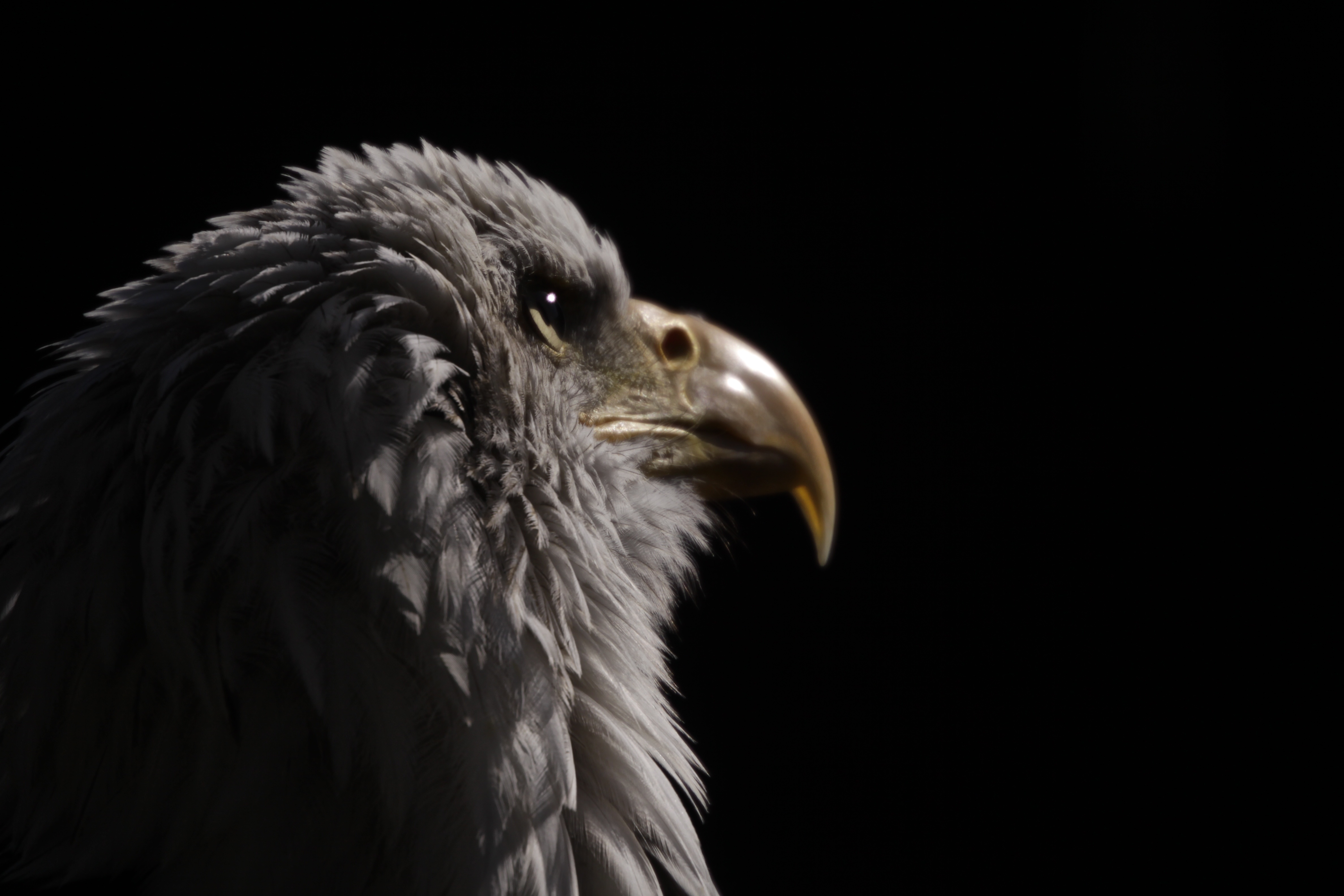
American Bald Eagle

Juvenile Semipalmated Plover
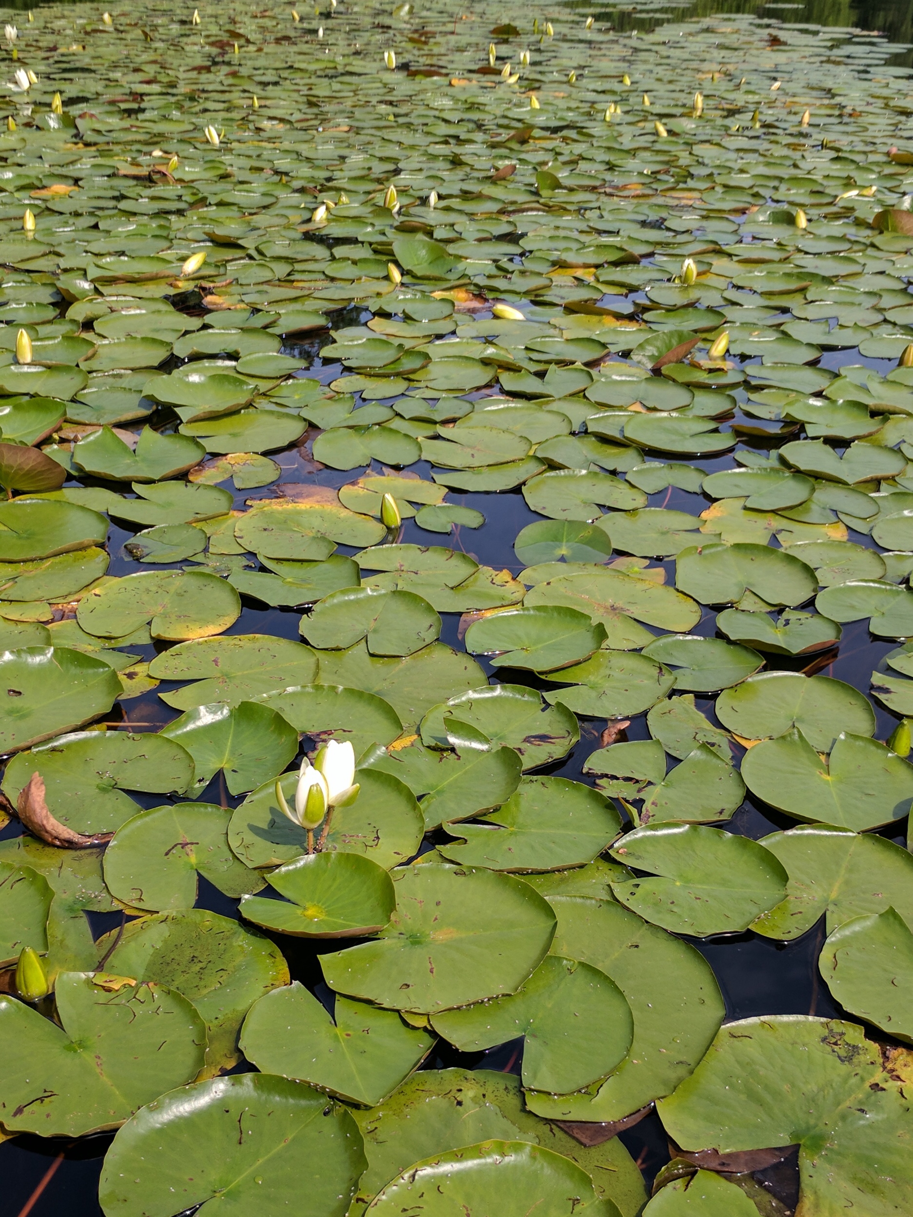
Water lilies

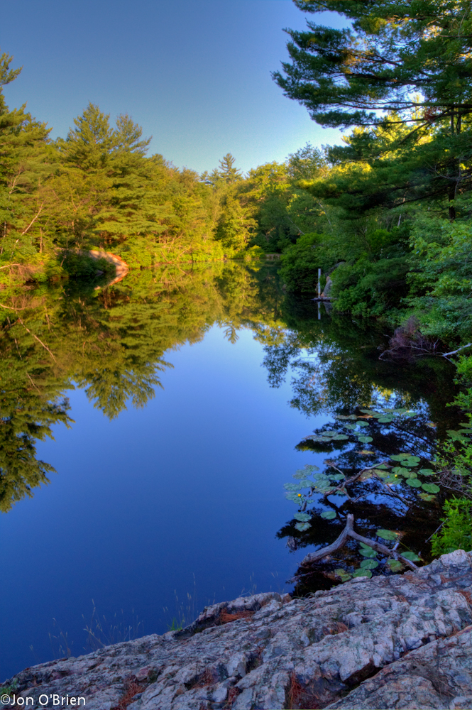
Sunset Over Waters River

Fort Pickering Light

World Gone Mad

Fog in Lamson Field at twilight

Suburban Oasis

Central square Lynn, Ma

Foggy Tree
Day 56: February 16, 2013

Lynn, Ma

Rumney Marsh

After the Storm

August Sunrise

Boston Skyline and Winthrop over Lewis Cove and Broad Sound, Late Dusk in Nahant MA

Cloudy Blue Skies over Broad Sound and Sea Cliff with Tide Pools - Lewis Cove Nahant, Massachusetts

Extreme LE of Clouds over Tree Line and Sea Cliff - Bailey’s Hill Park Nahant, Massachusetts USA

Marblehead MA - Marblehead and Harbor

Clouds Begin to Break

High Summer

Winter Light [Explore Jan. 25, 2014]

Beautiful day outside

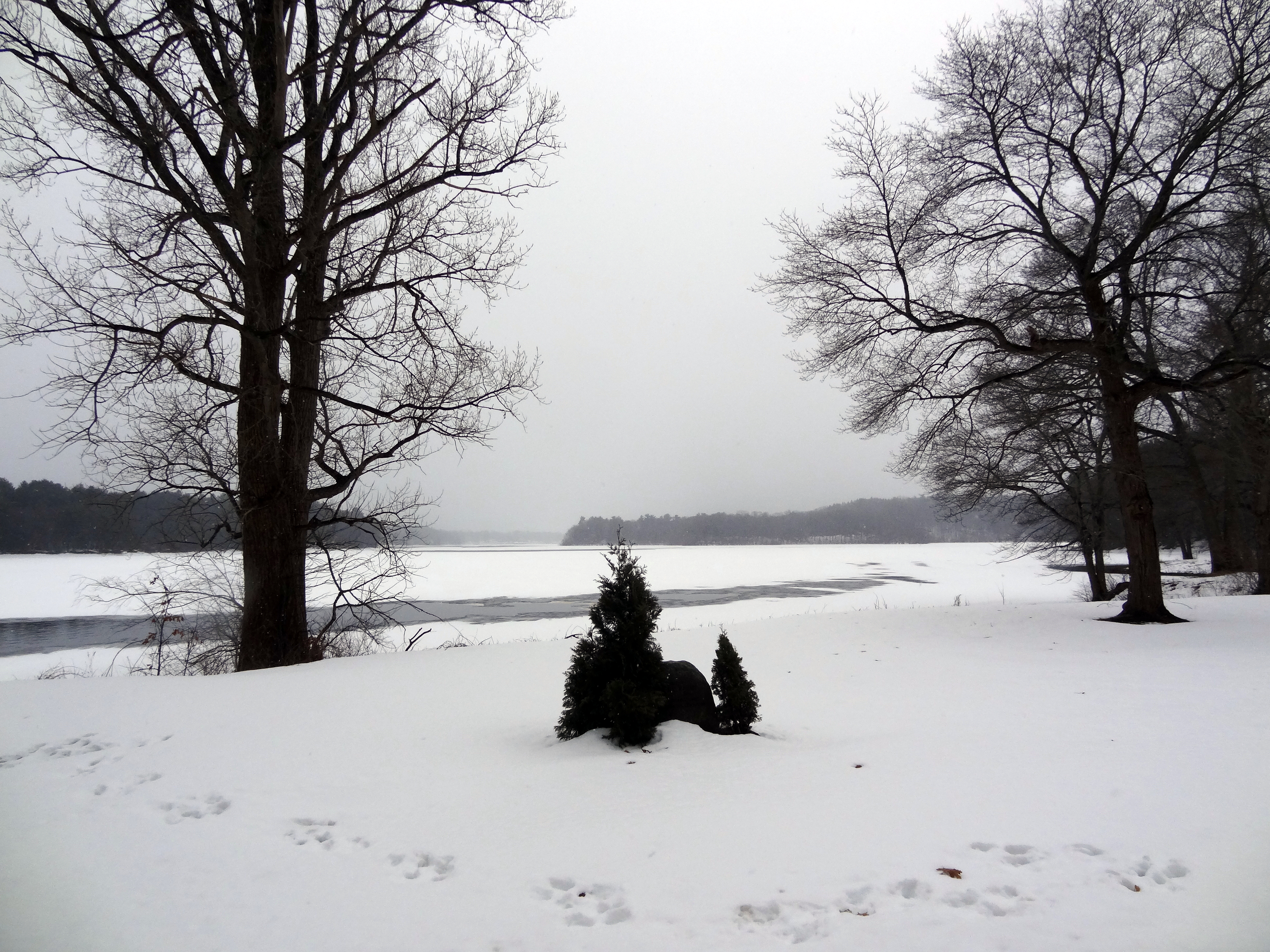
The Snowiest Season in New England

In the chasm

Sunlit Tree Path at The Fells
Lower Pond Sunrise

North Shore, MA

Green Tide Pool on Seaside Cliff with North Atlantic Ocean Horizon, Nahant Massachusetts USA

Early Morning at Harold Parker State Forest

Fort Pickering Lighthouse I

Bright, Sunshiny Day (EXPLORE 8-26-13 #272)

That's an #angry #tree.
Topographic Map of 1 Martin Cir, Peabody, MA, USA
Find elevation by address:

Places near 1 Martin Cir, Peabody, MA, USA:
48, Newbury St, Peabody, MA, USA
252 Newbury St
26 Johnson St, Peabody, MA, USA
17 Murray St
25 Jackson Ave
Devils Dishfull Pond
15 Danielle Dr
17 Jackson Ave
6 Anne Dr
6 Saratoga Ln
38 Felton St
Dyer Court
6 Spring St
24 Vineyard St
120 Sylvan St
6 John St
Walnut Grove Cemetery
22 Burley Ave
34 Mohawk St
44 Central Ave
Recent Searches:
- Elevation of Corso Fratelli Cairoli, 35, Macerata MC, Italy
- Elevation of Tallevast Rd, Sarasota, FL, USA
- Elevation of 4th St E, Sonoma, CA, USA
- Elevation of Black Hollow Rd, Pennsdale, PA, USA
- Elevation of Oakland Ave, Williamsport, PA, USA
- Elevation of Pedrógão Grande, Portugal
- Elevation of Klee Dr, Martinsburg, WV, USA
- Elevation of Via Roma, Pieranica CR, Italy
- Elevation of Tavkvetili Mountain, Georgia
- Elevation of Hartfords Bluff Cir, Mt Pleasant, SC, USA