Elevation of 1, Hatta Bazzar Rd, Mahendragarh, Haryana, India
Location: India > Haryana > Mahendragarh > Mahendragarh > Mahendragarh >
Longitude: 76.1502044
Latitude: 28.2663742
Elevation: 278m / 912feet
Barometric Pressure: 98KPa
Elevation Map:
Satellite Map:
Related Photos:
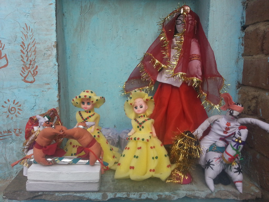
Village toya
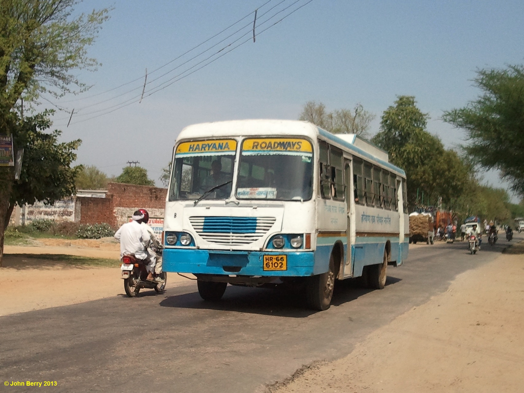
Kanina Railway Station, Mahendragarh, Haryana, India 16 April 2013
Topographic Map of 1, Hatta Bazzar Rd, Mahendragarh, Haryana, India
Find elevation by address:

Places near 1, Hatta Bazzar Rd, Mahendragarh, Haryana, India:
Mahendragarh
Mahendragarh
Jaydayal's Villa
Pali
Rewari
10, Rewari, Sec 3, Sector 3, Rewari, Haryana, India
Sec 3
Sector 3
Rewari
Bariawas
Bhiwani
Dharuhera
Gurgaon
Rohtak
Haryana
Dlf New Town Heights, Sector 86
Hayatpur
Shikarpur
Sector 75
Old Railway Road
Recent Searches:
- Elevation of Corso Fratelli Cairoli, 35, Macerata MC, Italy
- Elevation of Tallevast Rd, Sarasota, FL, USA
- Elevation of 4th St E, Sonoma, CA, USA
- Elevation of Black Hollow Rd, Pennsdale, PA, USA
- Elevation of Oakland Ave, Williamsport, PA, USA
- Elevation of Pedrógão Grande, Portugal
- Elevation of Klee Dr, Martinsburg, WV, USA
- Elevation of Via Roma, Pieranica CR, Italy
- Elevation of Tavkvetili Mountain, Georgia
- Elevation of Hartfords Bluff Cir, Mt Pleasant, SC, USA