Elevation of 1 Debbie Dr, Stanhope, NJ, USA
Location: United States > New Jersey > Sussex County > Stanhope >
Longitude: -74.704968
Latitude: 40.9275974
Elevation: 253m / 830feet
Barometric Pressure: 98KPa
Elevation Map:
Satellite Map:
Related Photos:
Look Up!
ATMOSPHERE IS HERE
Coleus Leaves
Leaving Brundage Park
Tom's Diner - Ledgewood, New Jersey

OLD&BOLD

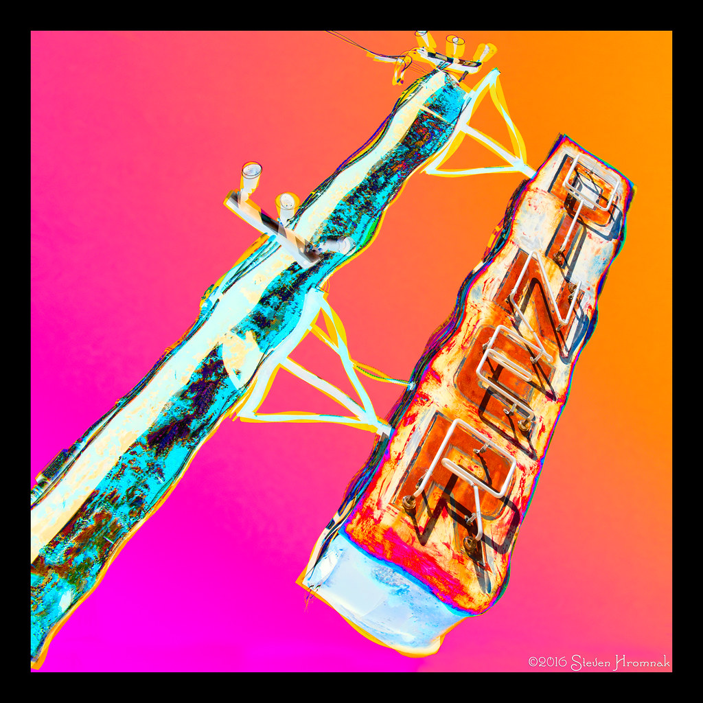
Wharton and Northern
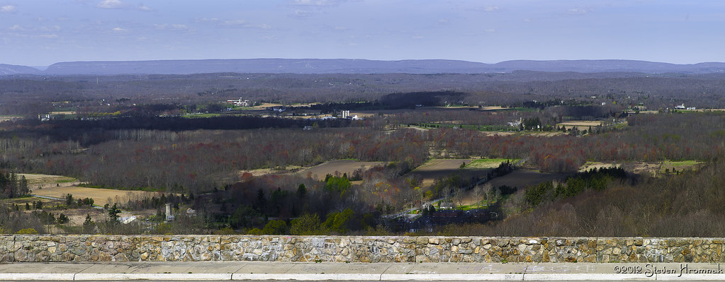
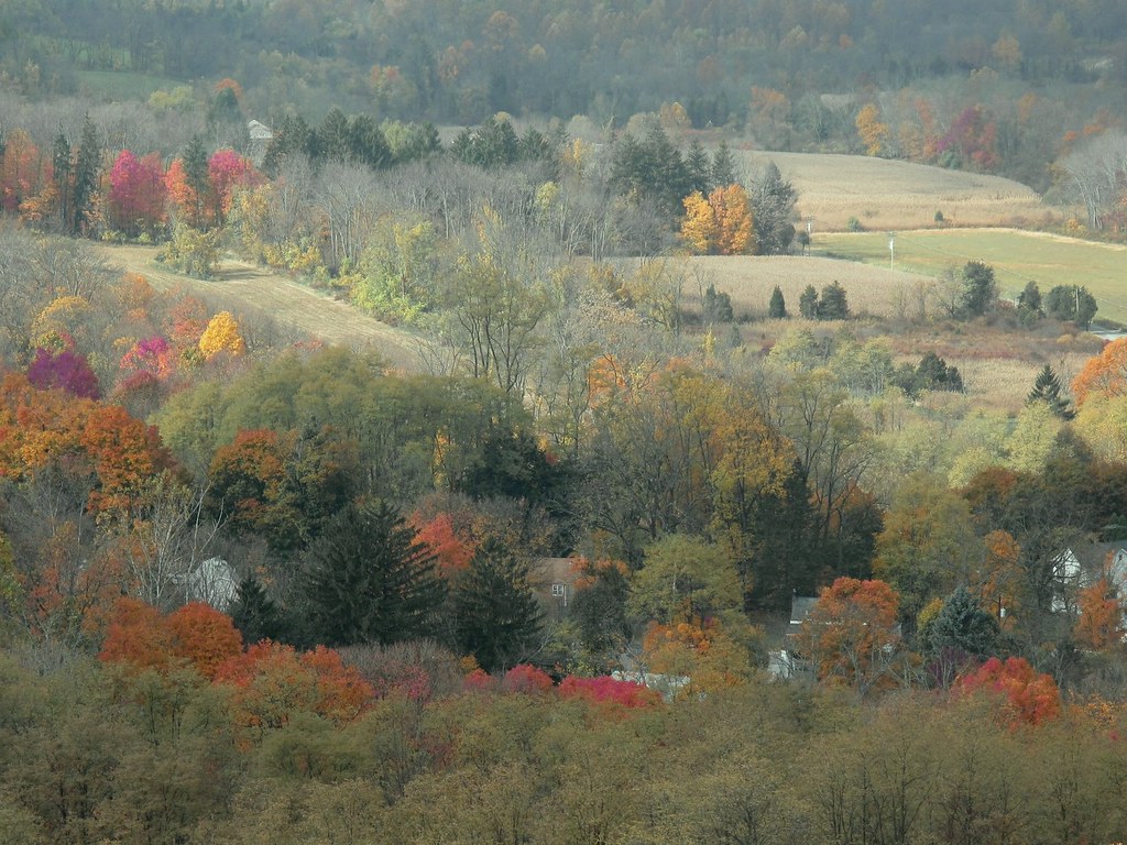
New Jersey Farmland from Rt 80

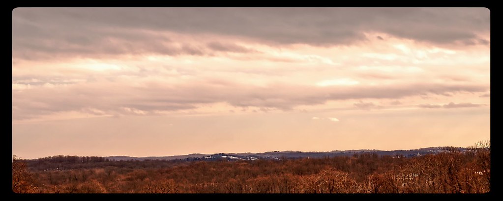
Clouds for Days
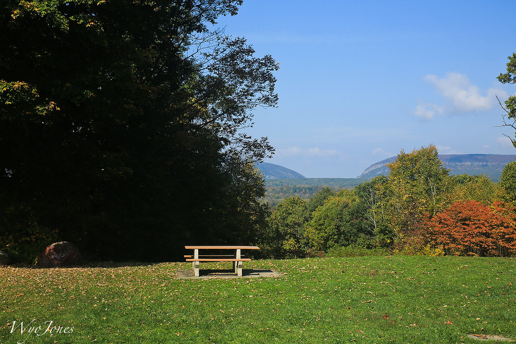
Distant Veiw of the Delaware Water Gap
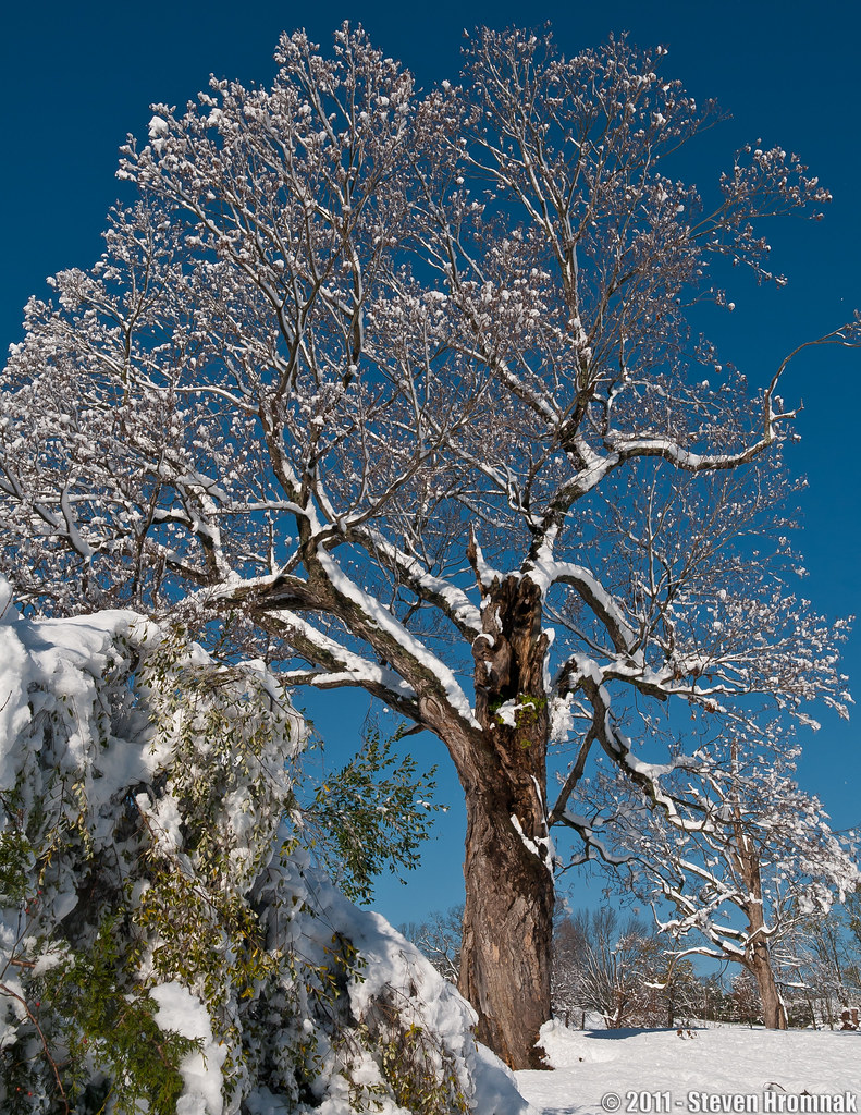
Lone Tree After the Storm (Explore, Albiet Short Lived)
bow to the calm
Wingspans and Clouds
Old Farm Sanctuary (4)
Happy Snowsgiving!

Ice Storm 2nd Beach View
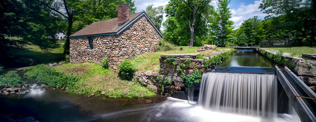
Canal Lock PANO re-worked
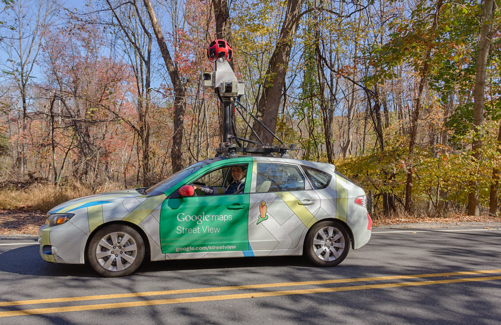
Google Street View
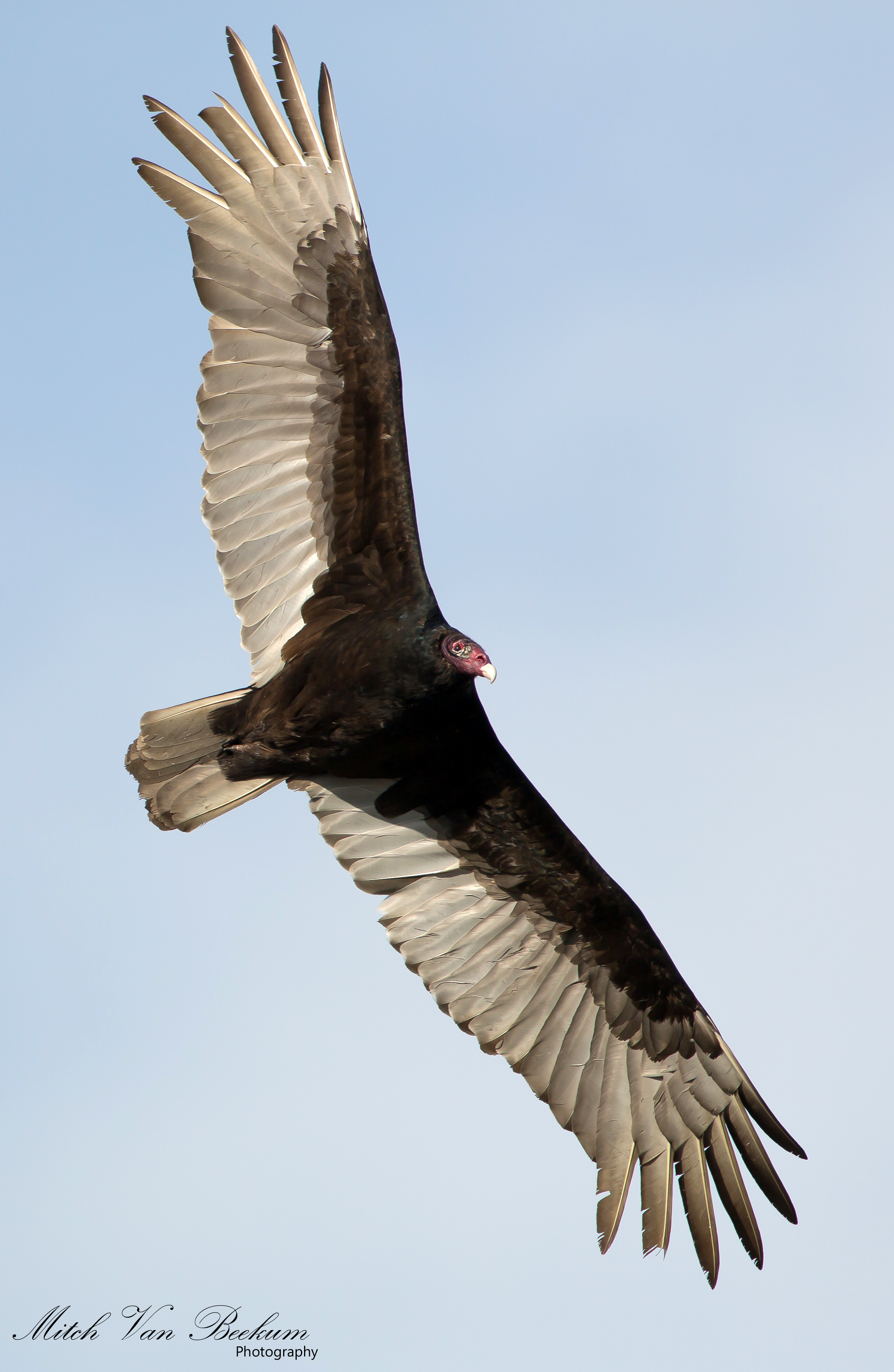
I Despise You! (Turkey Vulture)
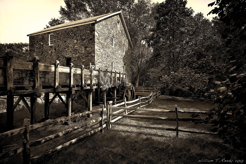
Cooper Mill - revisited

Blame Canada!
GREEN GOLD

10-01-20-1377-4898hdrbwe

ANDOVER ABBEY

Ice and Falls
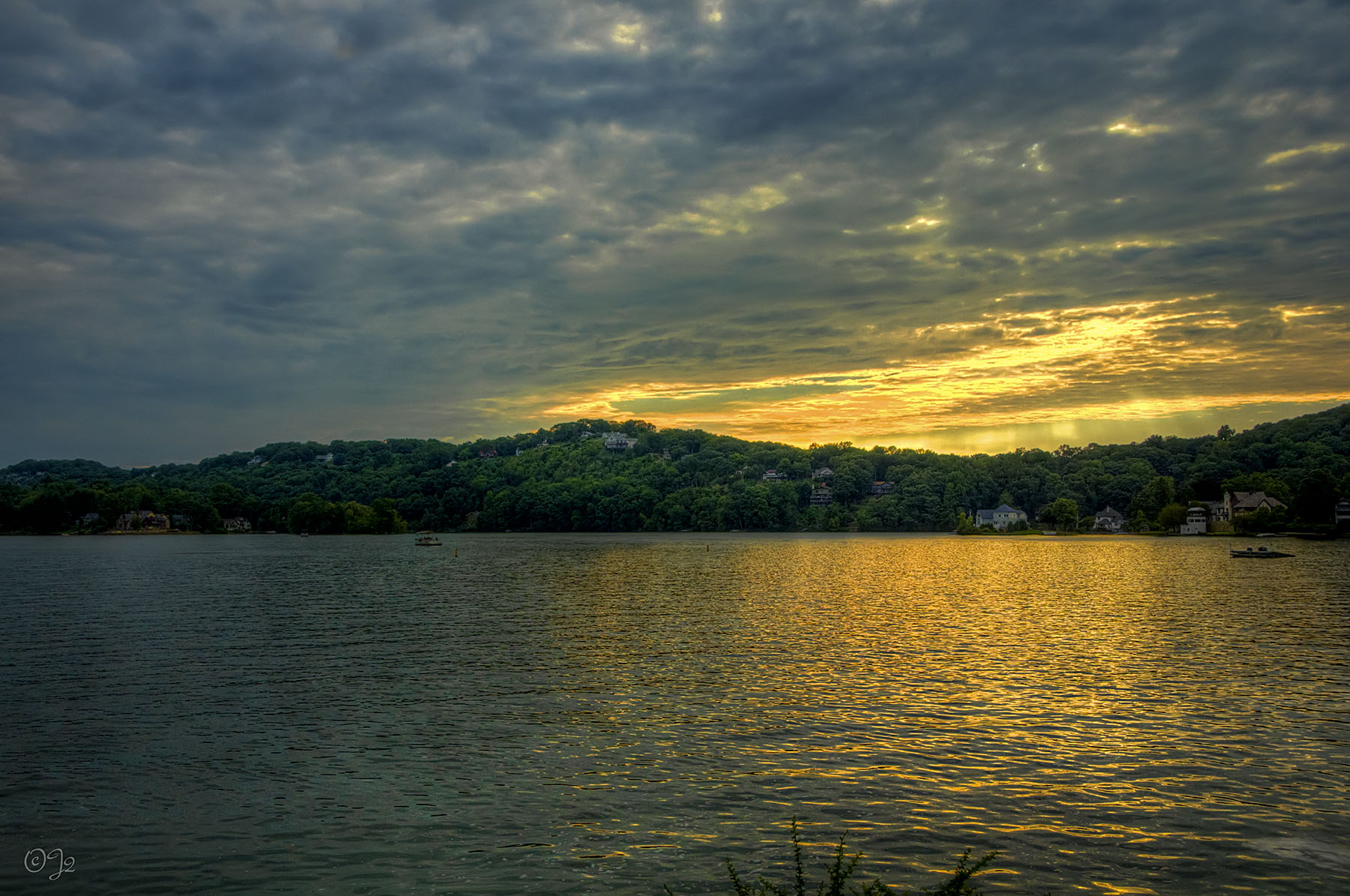
Lake Mohawk Sunset
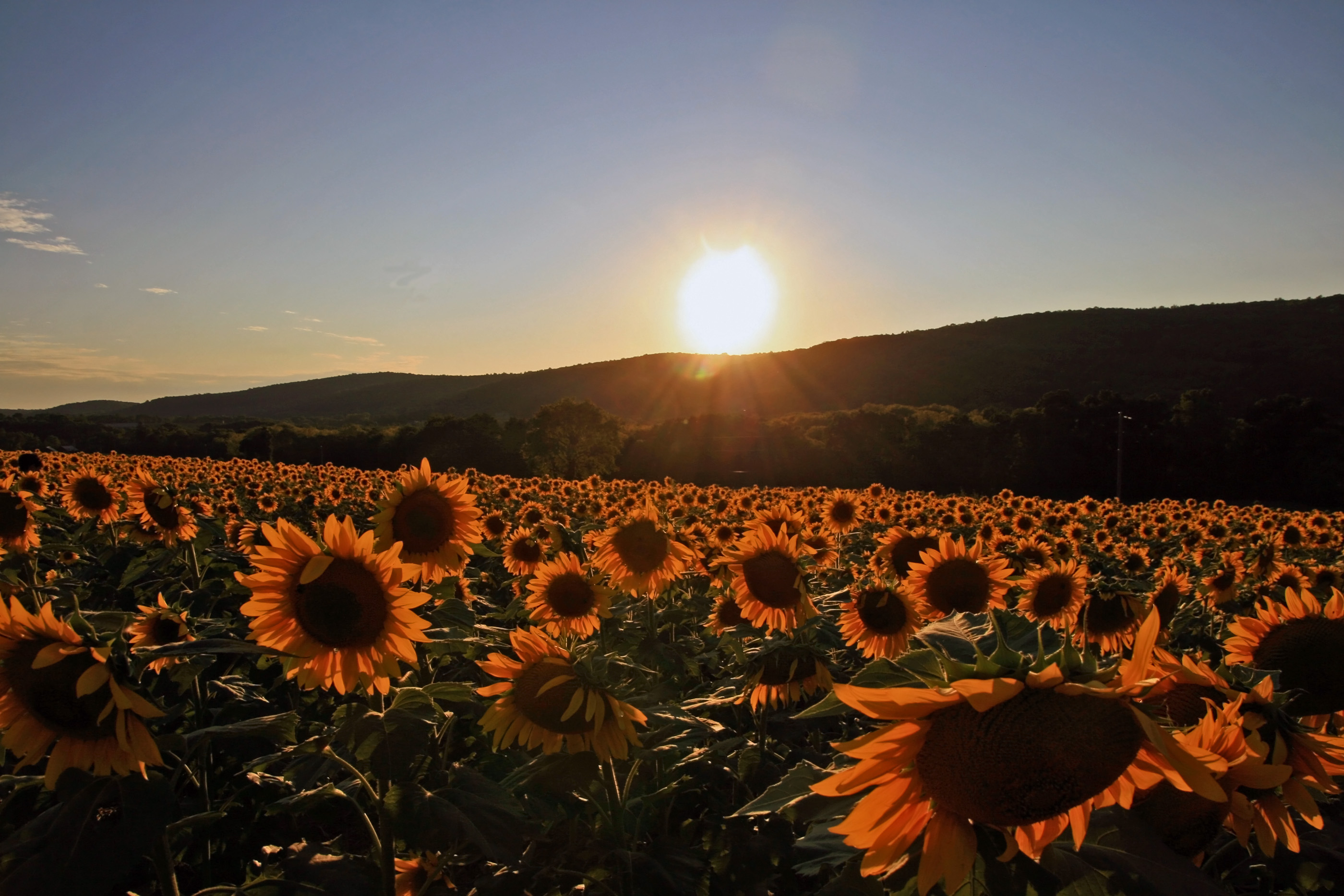
Sunflower Sunset
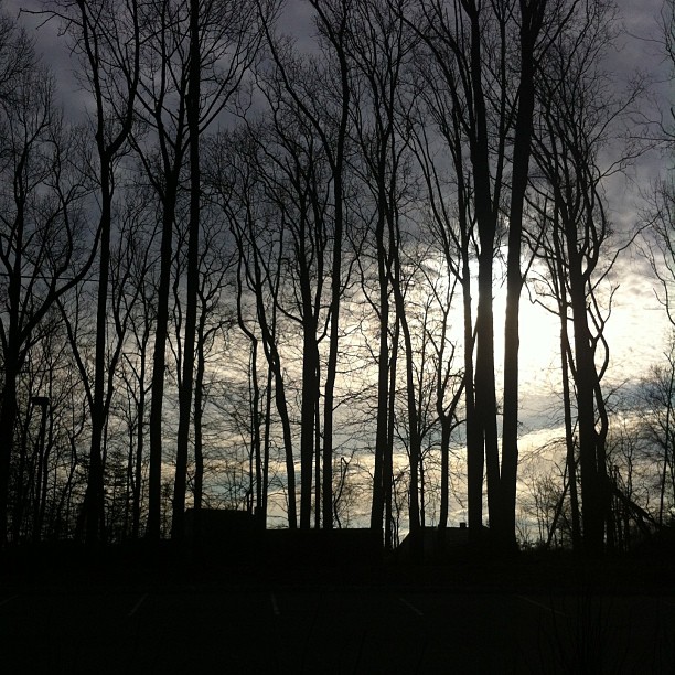
Clouds over Randolph
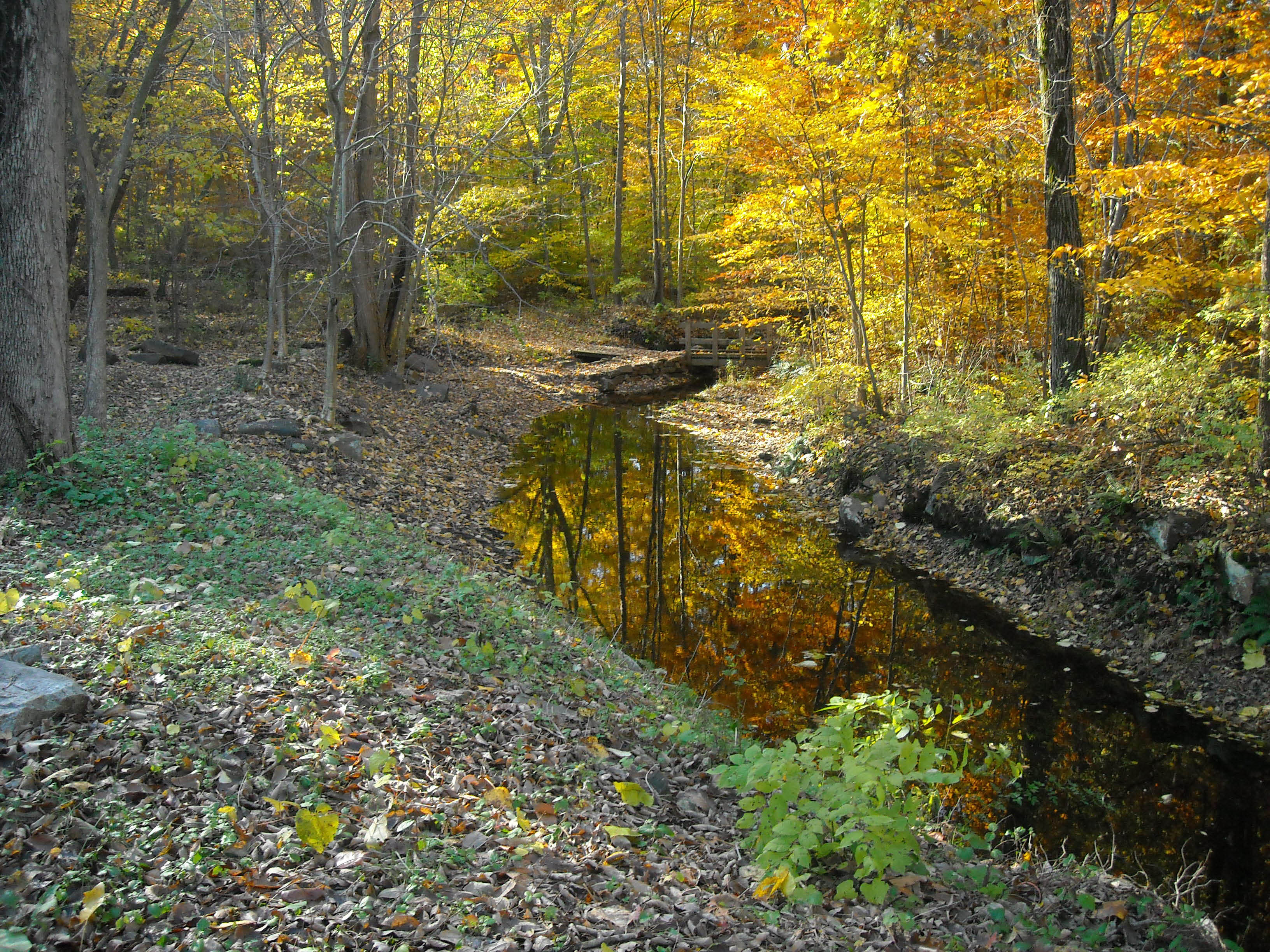
Streamside Hike (5)
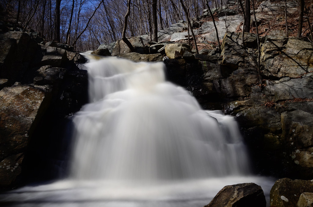
Schooley's Mountain Falls
Trees trees #trees

That's no sun.
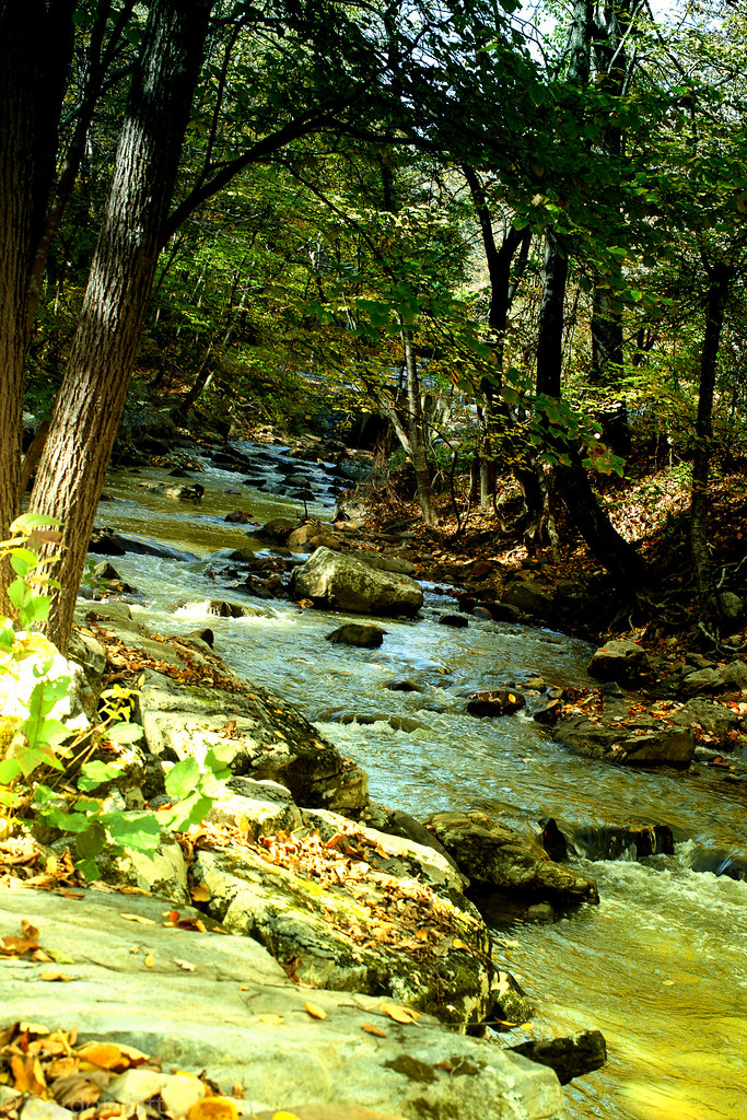
Along the Trout Stream
Red Rug
Black River @ Cooper Grist Mill

late at night, we ramble

Good Morning 2013

Waterloo Quarry Sunset
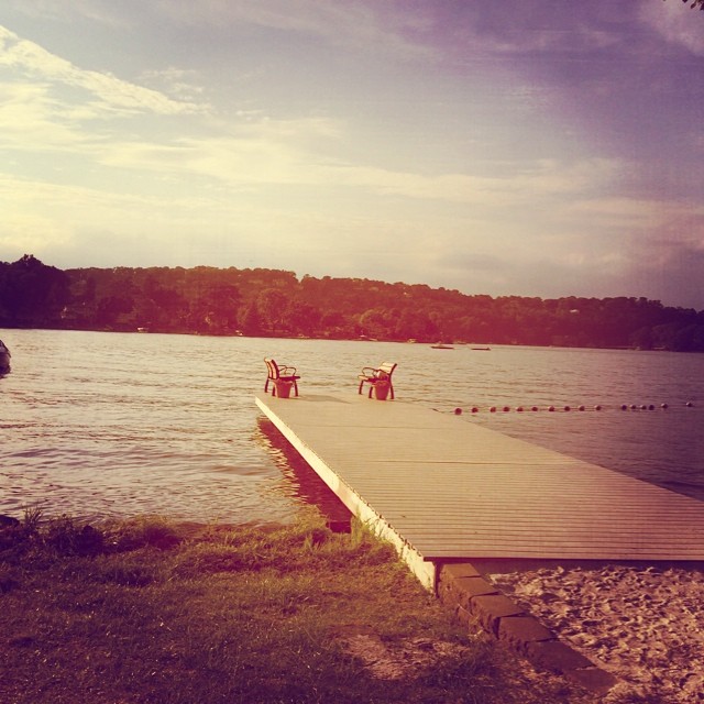
At the lake in SPARTA!

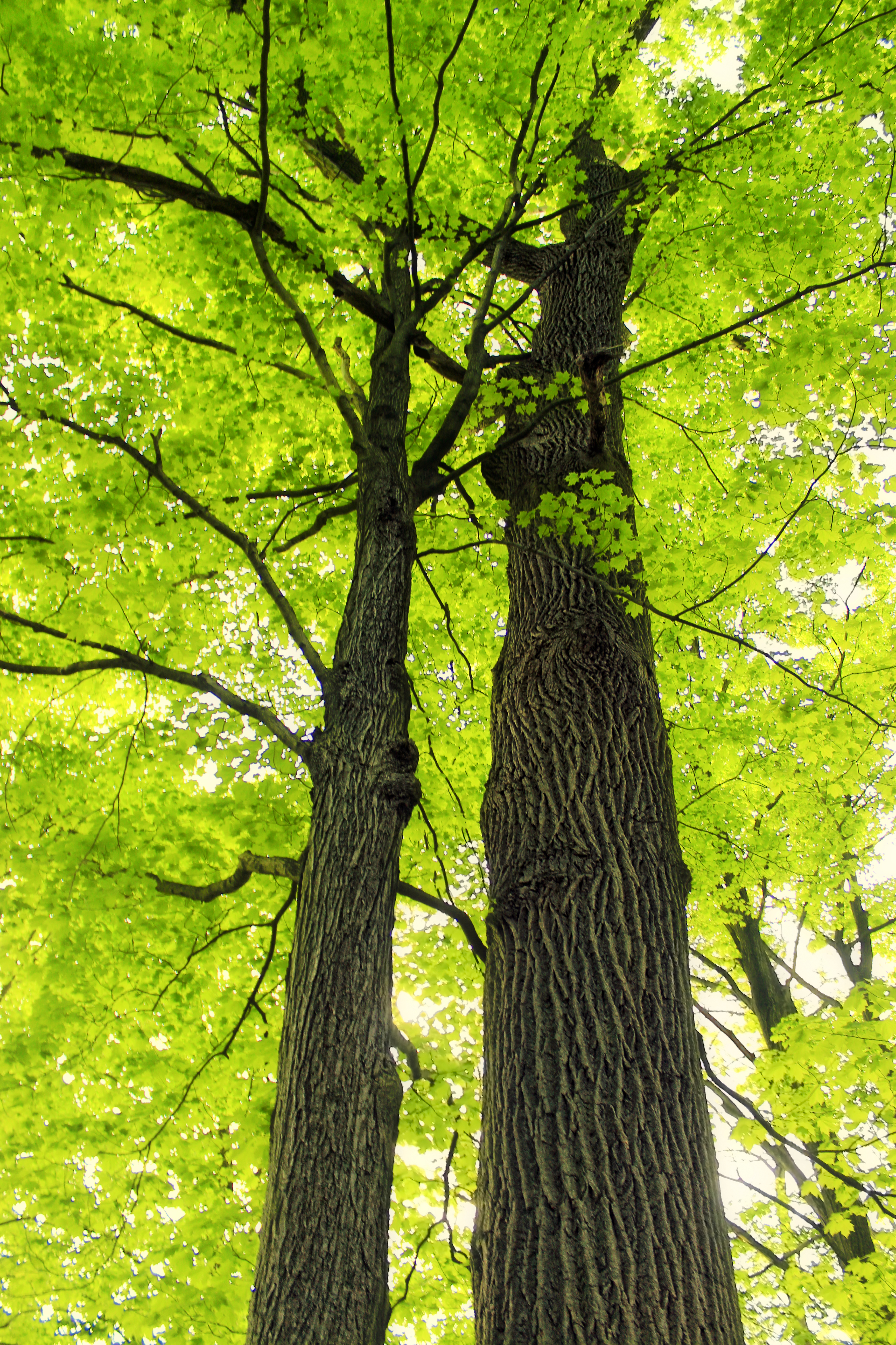
Competing for the Sun
Topographic Map of 1 Debbie Dr, Stanhope, NJ, USA
Find elevation by address:

Places near 1 Debbie Dr, Stanhope, NJ, USA:
57 Brookwood Dr
13235 Dell Pl
5 US-, Stanhope, NJ, USA
30 Maple Terrace
23 Lockwood Ave
22 Acorn St
6 Bell St
River Road
1 Lawrence Ave
Lake Lackawanna
6 Belton St
40 River Rd
Stanhope
Drain Way
164 Lake Dr
Waterloo Road
Flora Ave, Stanhope, NJ, USA
29 Unger Ave
Netcong
53 Main St, Netcong, NJ, USA
Recent Searches:
- Elevation of Corso Fratelli Cairoli, 35, Macerata MC, Italy
- Elevation of Tallevast Rd, Sarasota, FL, USA
- Elevation of 4th St E, Sonoma, CA, USA
- Elevation of Black Hollow Rd, Pennsdale, PA, USA
- Elevation of Oakland Ave, Williamsport, PA, USA
- Elevation of Pedrógão Grande, Portugal
- Elevation of Klee Dr, Martinsburg, WV, USA
- Elevation of Via Roma, Pieranica CR, Italy
- Elevation of Tavkvetili Mountain, Georgia
- Elevation of Hartfords Bluff Cir, Mt Pleasant, SC, USA