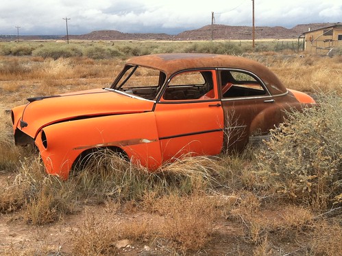
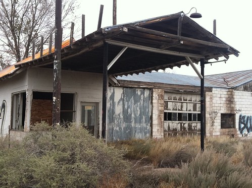
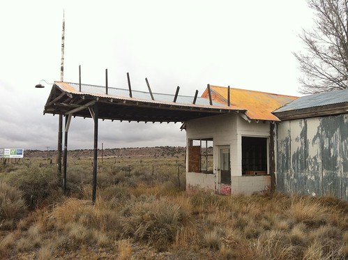
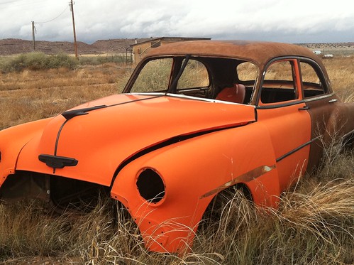
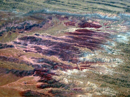
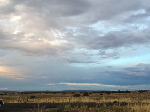
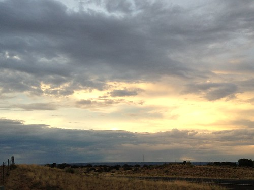
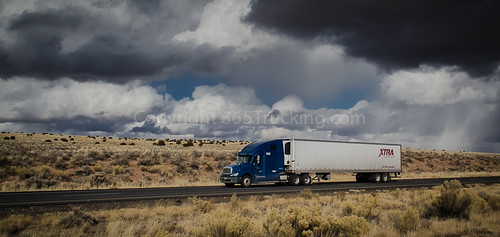
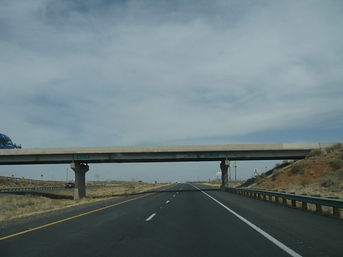
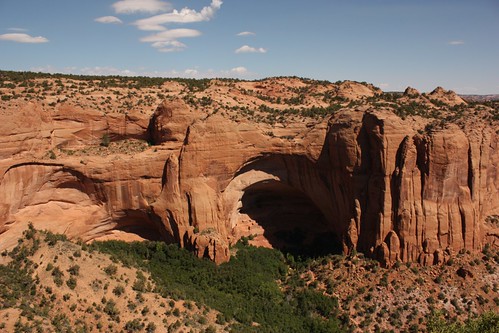
Elevation of 1-40 US-, Sanders, AZ, USA
Location: United States > Arizona > Apache County > Sanders >
Longitude: -109.43325
Latitude: 35.1904103
Elevation: 1757m / 5764feet
Barometric Pressure: 82KPa
Related Photos:
Topographic Map of 1-40 US-, Sanders, AZ, USA
Find elevation by address:

Places near 1-40 US-, Sanders, AZ, USA:
Chambers
Chambers, AZ, USA
Sanders
Park Estate
U.s. Route 66
U.s. Route 66
Houck
Apache County
Lupton
Ganado
Saint Michaels
Burnside
Defiance
Window Rock
Arizona 264
Vanderwagen
Red Rock
Allison Rd, Gallup, NM, USA
Sawmill
Gurley Motor Company
Recent Searches:
- Elevation of Corso Fratelli Cairoli, 35, Macerata MC, Italy
- Elevation of Tallevast Rd, Sarasota, FL, USA
- Elevation of 4th St E, Sonoma, CA, USA
- Elevation of Black Hollow Rd, Pennsdale, PA, USA
- Elevation of Oakland Ave, Williamsport, PA, USA
- Elevation of Pedrógão Grande, Portugal
- Elevation of Klee Dr, Martinsburg, WV, USA
- Elevation of Via Roma, Pieranica CR, Italy
- Elevation of Tavkvetili Mountain, Georgia
- Elevation of Hartfords Bluff Cir, Mt Pleasant, SC, USA
