Elevation of 19 Round Top Ln, Landrum, SC, USA
Location: United States > South Carolina > Spartanburg County > Landrum >
Longitude: -82.292230
Latitude: 35.1433765
Elevation: 496m / 1627feet
Barometric Pressure: 96KPa
Elevation Map:
Satellite Map:
Related Photos:
In a Hurry
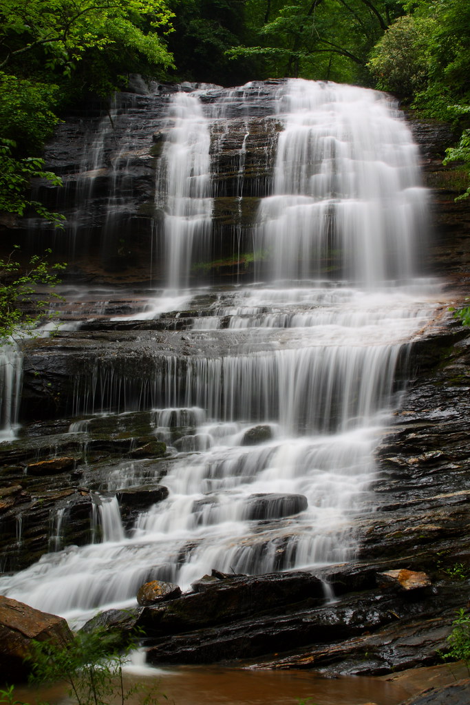
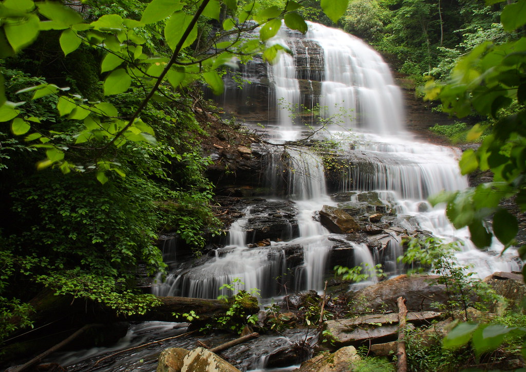
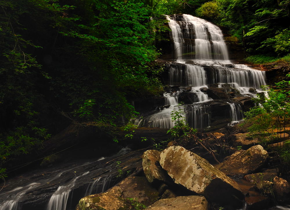
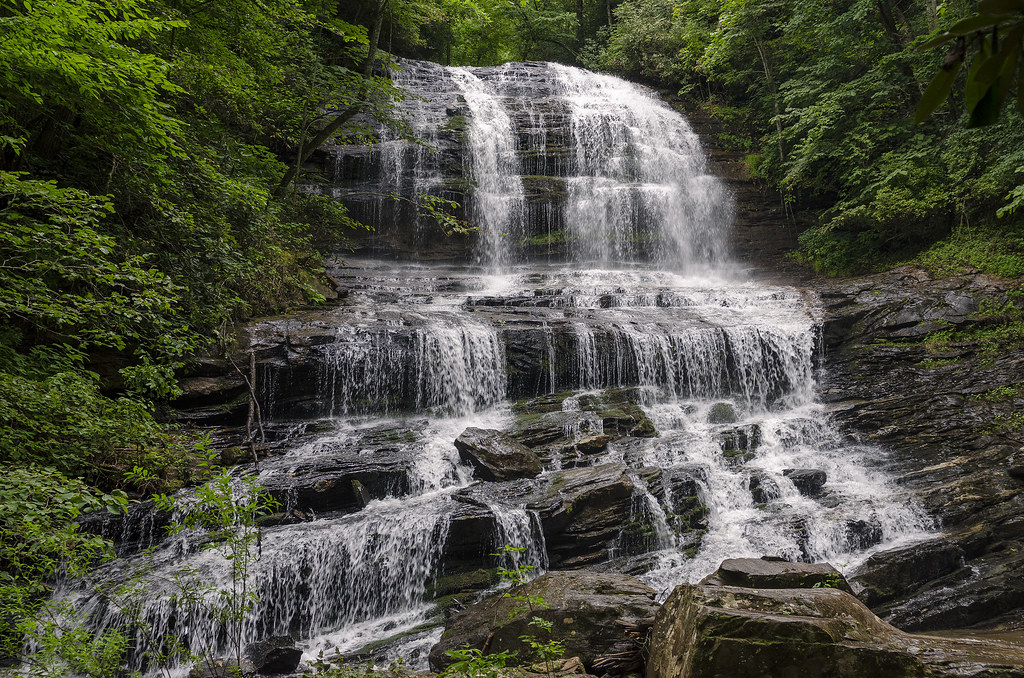
Pearson's Falls
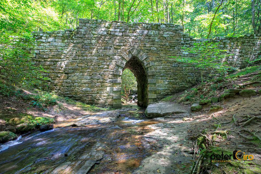
Poinsett Bridge near Highland, SC

The Hayloft Cottage

Tree with Mushrooms in Landrum, SC
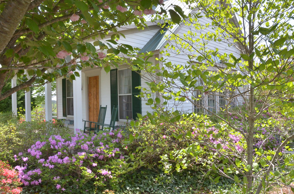
The Grainary Cottage
Springhouse Cottage

The Grainary Cottage

Blue Ridge Mountain View from our vacation cabin porch (HDR)
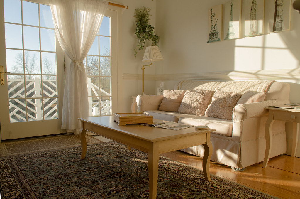
The Hayloft Cottage

Federal Sign & Signal Model 5T - Campobello, SC
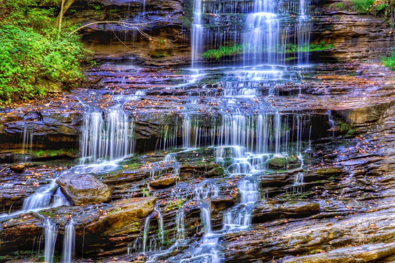
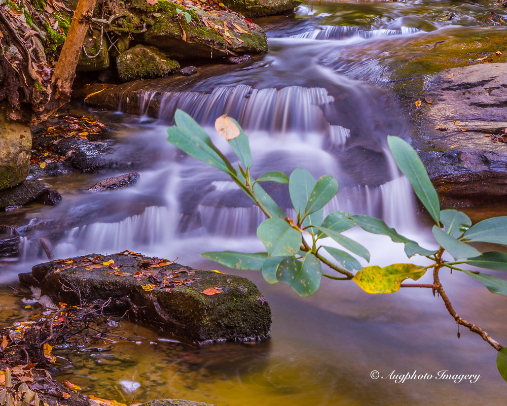
Pearson's Falls

PEARSON'S FALLS BLUE RIDGE MOUNTAINS ~ N.C.

Pearson Lower New Trail - Read Description
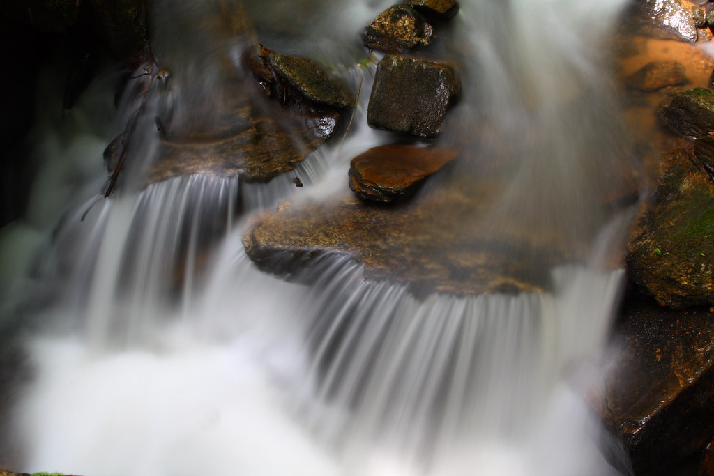
Cascading Water
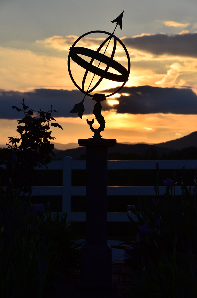
Sundial at Sunset

Autumn Mnt View with Glasses

Day 1235 - The View

sunset sundial

View of the drained Swimming Lake from the Boating Lake dam.
Pearson's Falls-through the Trees
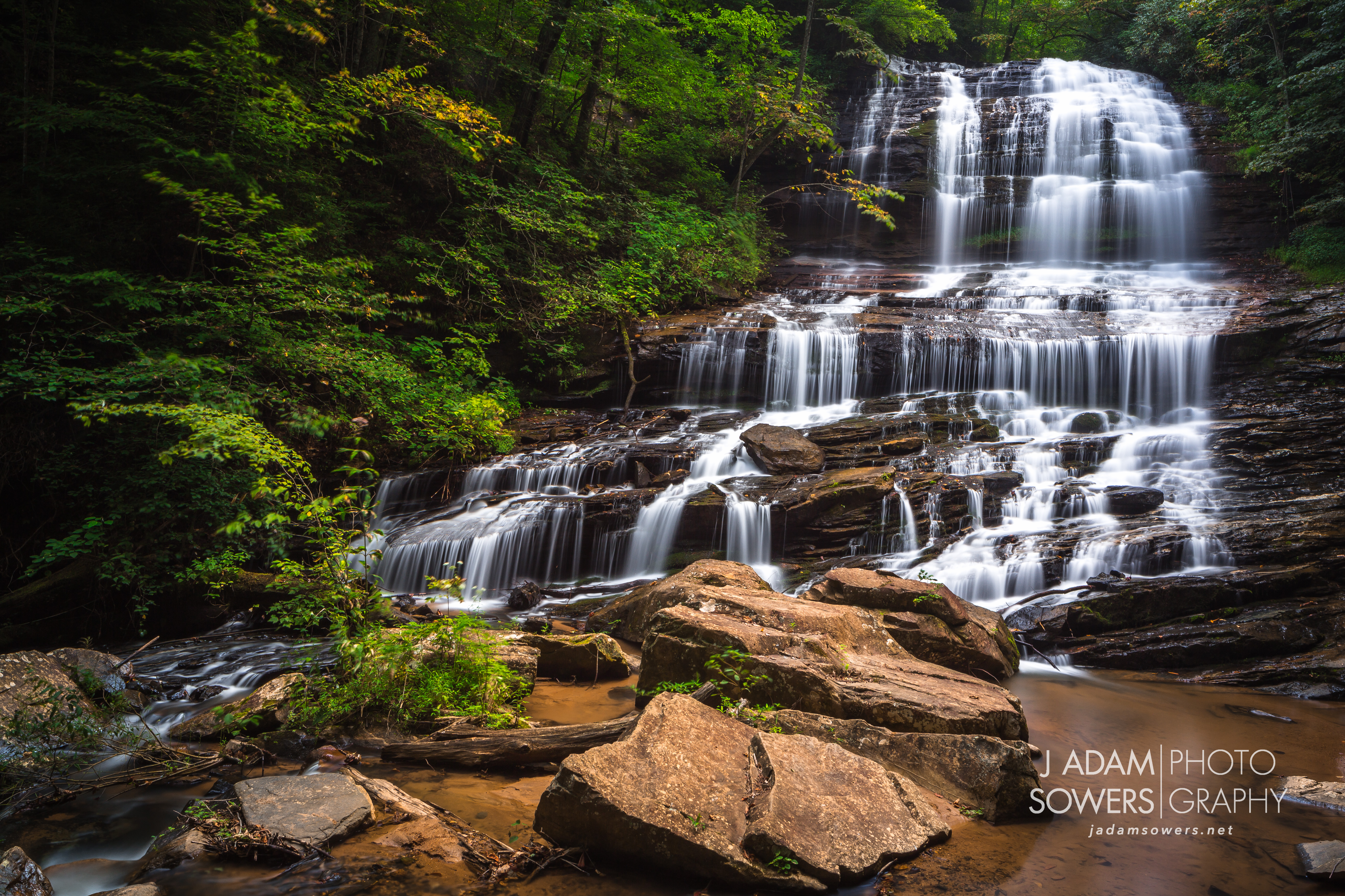
Pearson's Falls
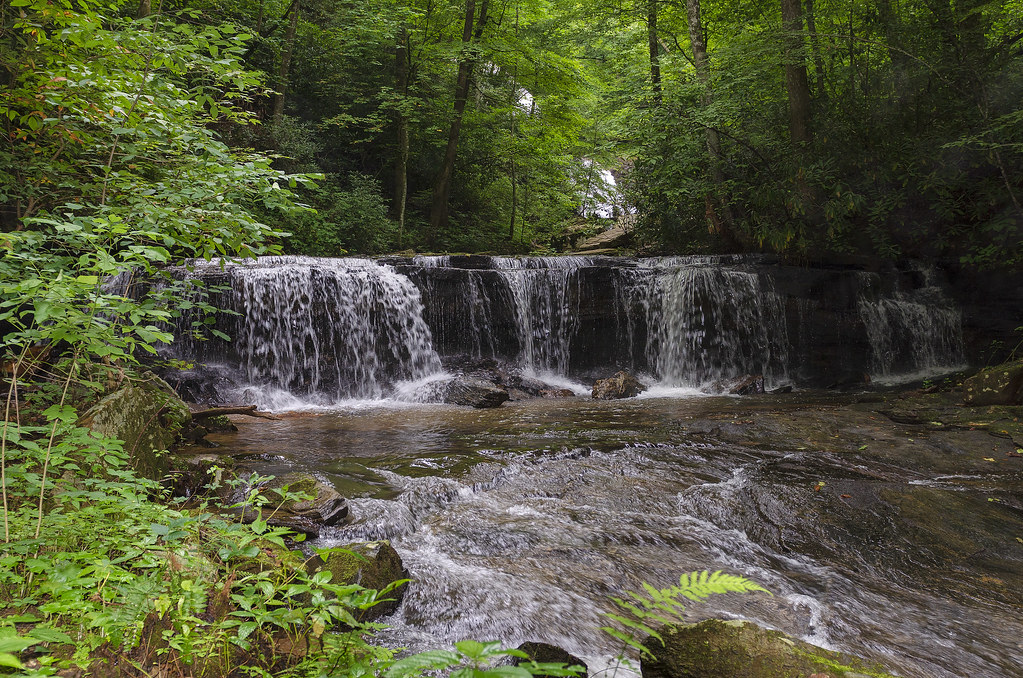
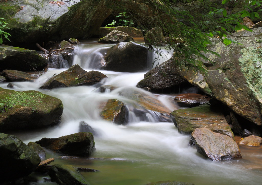
Gentle Falls on the North Pacolet River
Gentle North Pacolet

Water Dancing on the Rocks
North Pacolet River II
Cascades of Little Bradley Falls
Fighting the flow
Poinsett Cascade

Poinsett Flow

Small Waterfall at Pearson's Falls

Bradley Falls creek

Trip'n Clouds
Pearson's Falls, N.C.

Pearsons Falls
Peaceful Trail
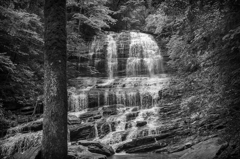
Pearson Falls - BW
Falls Along the Pacolet
Topographic Map of 19 Round Top Ln, Landrum, SC, USA
Find elevation by address:

Places near 19 Round Top Ln, Landrum, SC, USA:
19 Round Top Ln
19 Round Top Ln
100 Outlook Ledge
85 Eagle Rock Rd
72 Eagle Rock Rd
100 Ridge Pass Way
Chestnut Ridge Heritage Preserve Trail
323 Foggy Cut Ln
254 Foggy Cut Ln
109 Raptor Way
120 Hawk Springs Dr
11 Moss Falls Ln
Foggy Cut Lane
Foggy Cut Lane
The Cliffs At Glassy Wellness Center
258 Foggy Cut Ln
8 Moss Falls Ln
170 Raptor Way
11 Vireo Dr
281 Foggy Cut Ln
Recent Searches:
- Elevation of Corso Fratelli Cairoli, 35, Macerata MC, Italy
- Elevation of Tallevast Rd, Sarasota, FL, USA
- Elevation of 4th St E, Sonoma, CA, USA
- Elevation of Black Hollow Rd, Pennsdale, PA, USA
- Elevation of Oakland Ave, Williamsport, PA, USA
- Elevation of Pedrógão Grande, Portugal
- Elevation of Klee Dr, Martinsburg, WV, USA
- Elevation of Via Roma, Pieranica CR, Italy
- Elevation of Tavkvetili Mountain, Georgia
- Elevation of Hartfords Bluff Cir, Mt Pleasant, SC, USA