Elevation of 19 Old Cedartown Rd, Cave Spring, GA, USA
Location: United States > Georgia > Floyd County > Cave Spring >
Longitude: -85.336046
Latitude: 34.106948
Elevation: 194m / 636feet
Barometric Pressure: 99KPa
Elevation Map:
Satellite Map:
Related Photos:
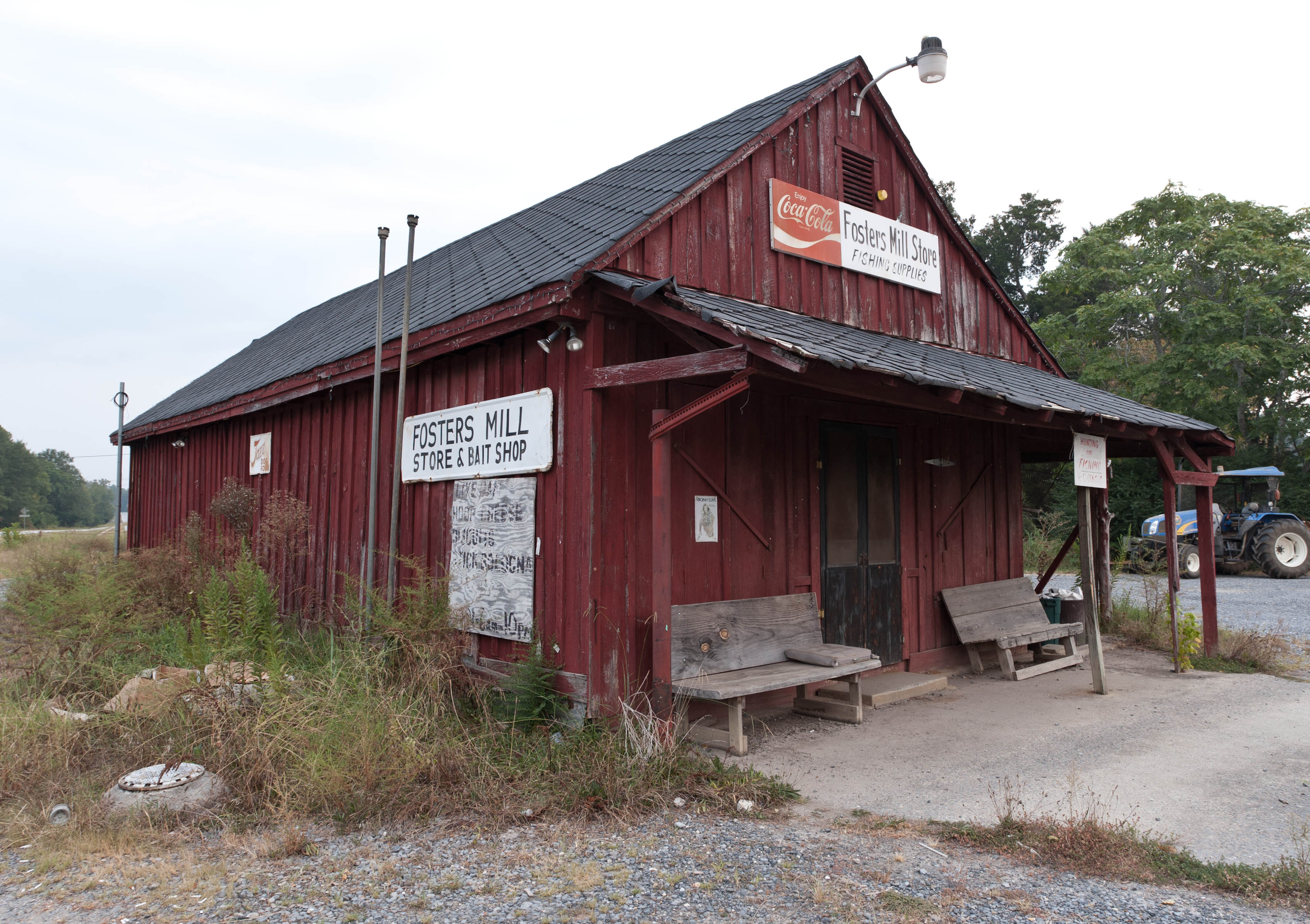
Fishing Supplies

Going Native

Morning dew

Morning rays
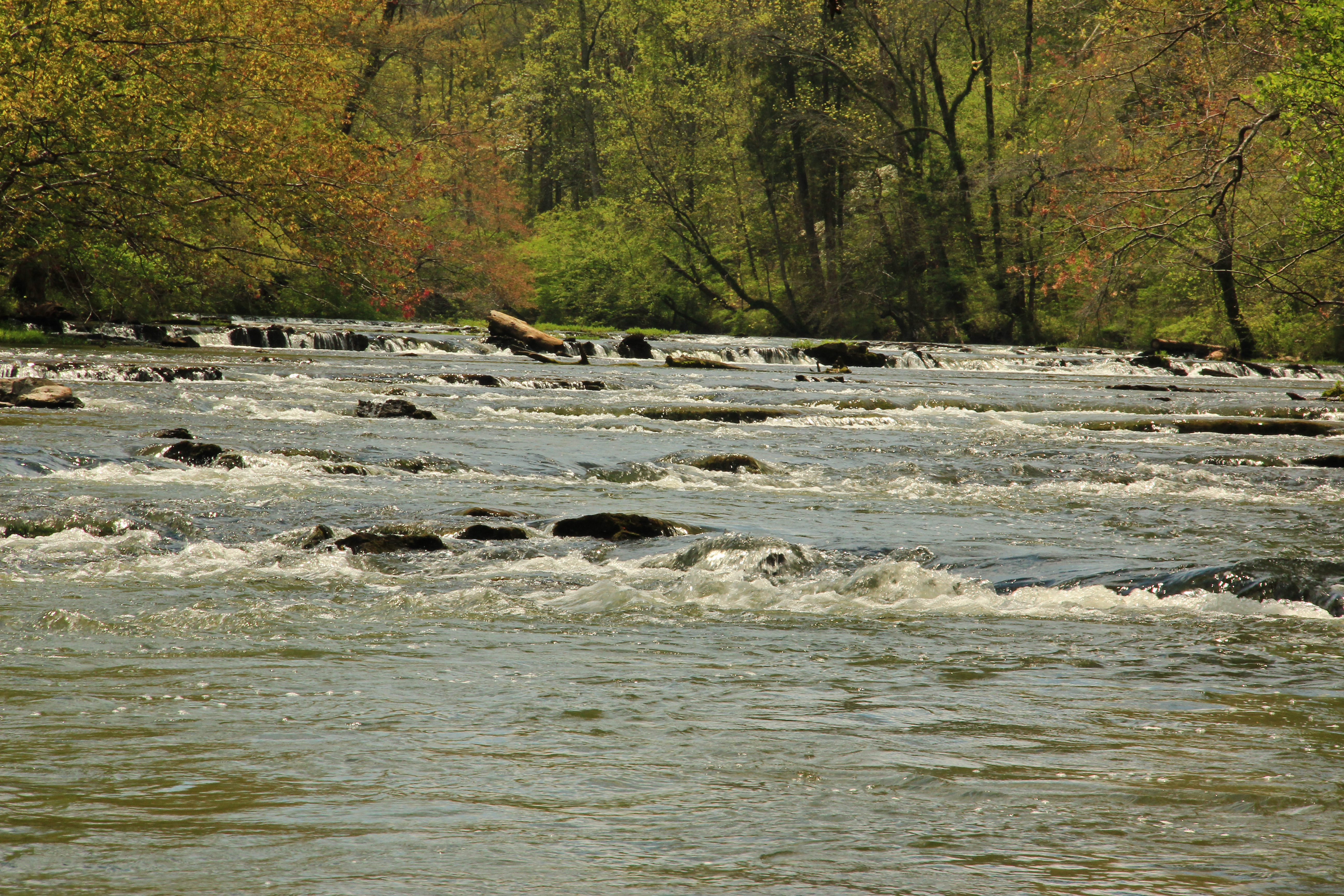
Big Cedar Creek, Floyd County, Georgia 5
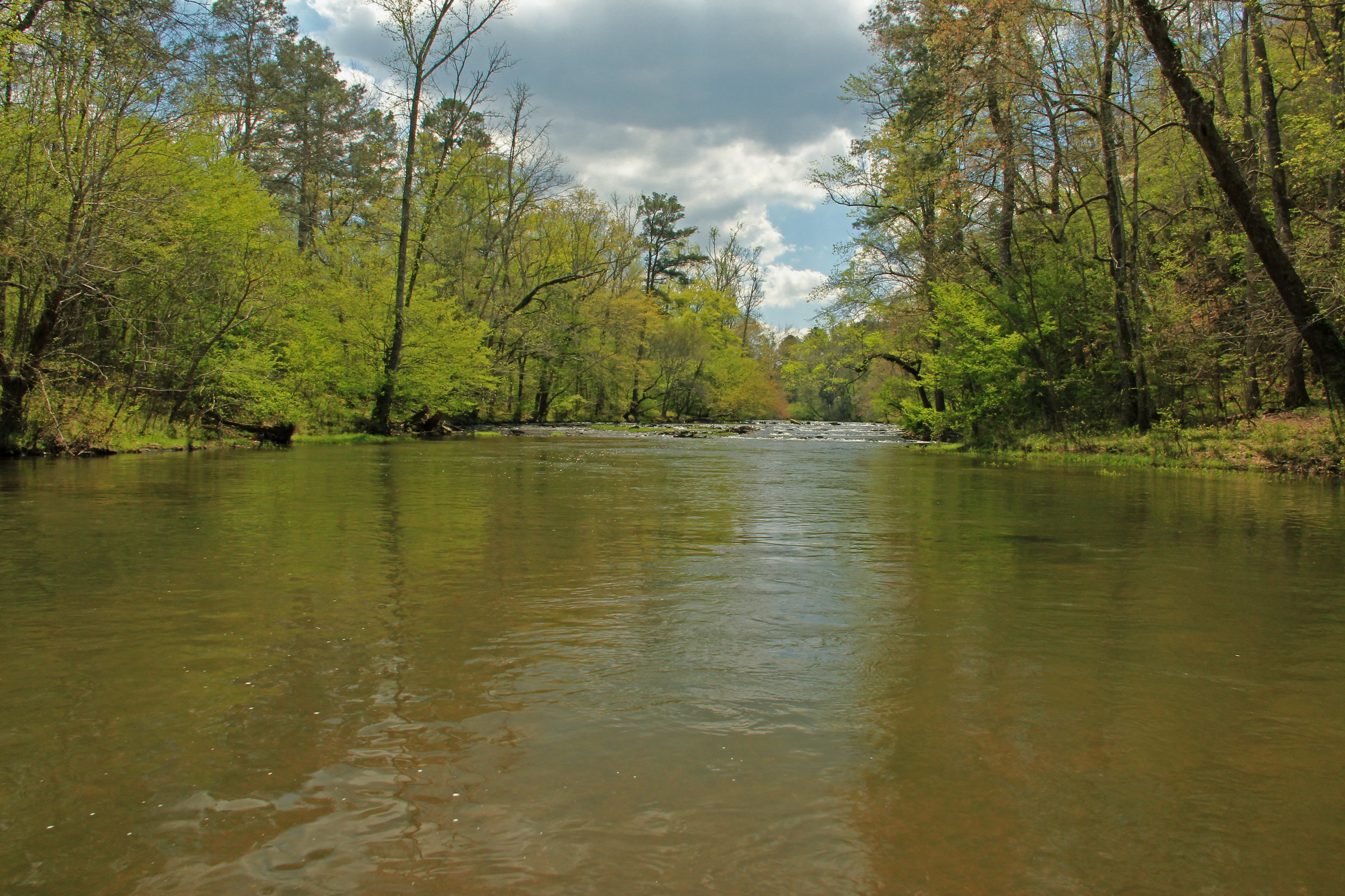
Big Cedar Creek, Floyd County, Georgia 2
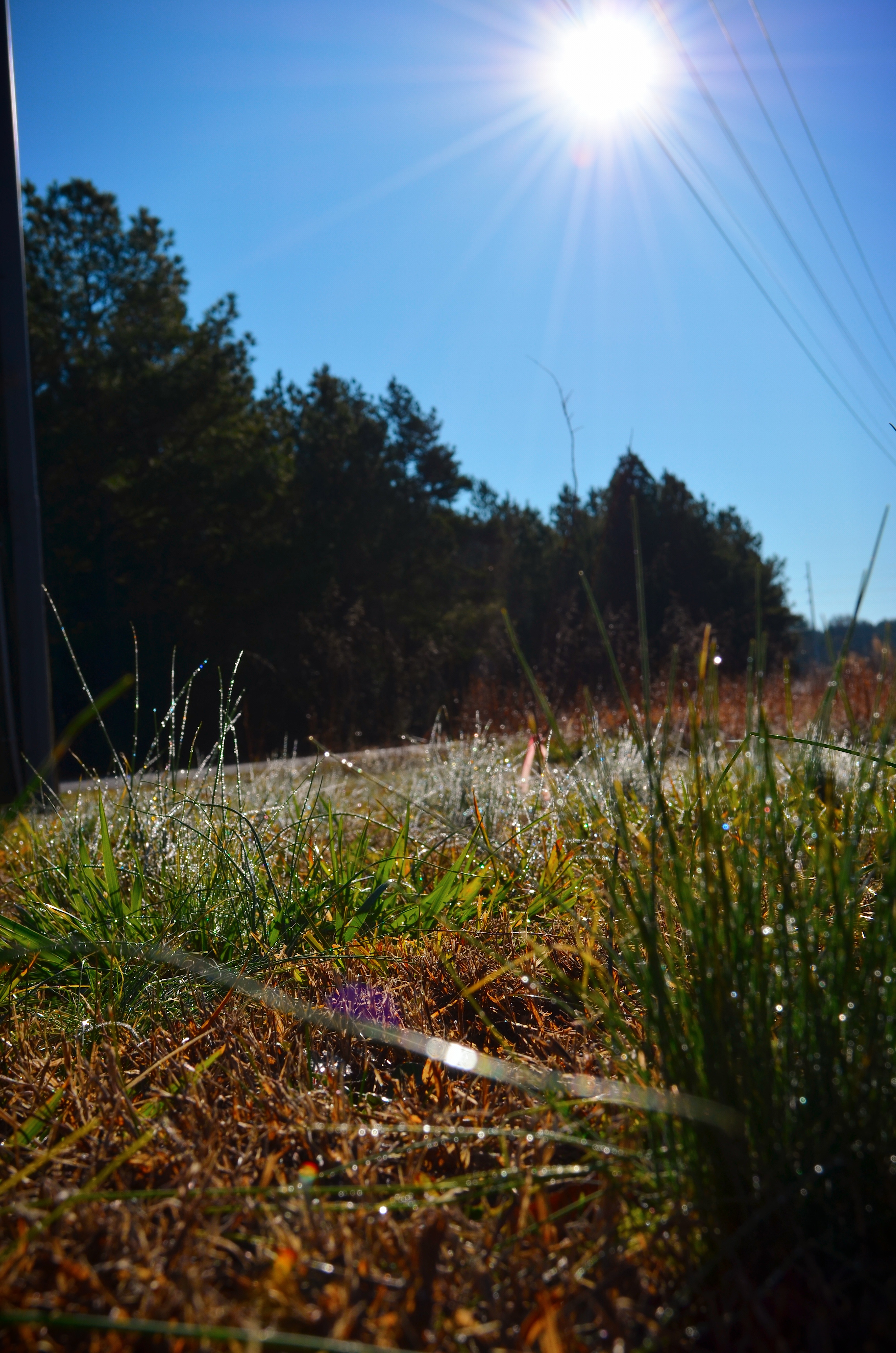
Morning rays
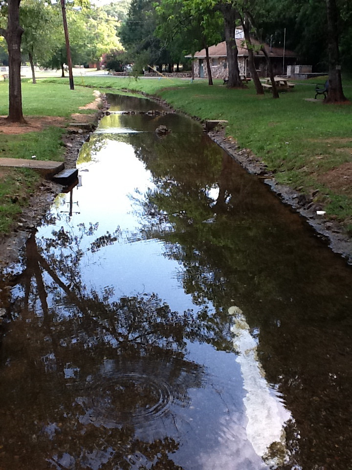
Rolater Park / iPad 2 Camera, August 13, 2011
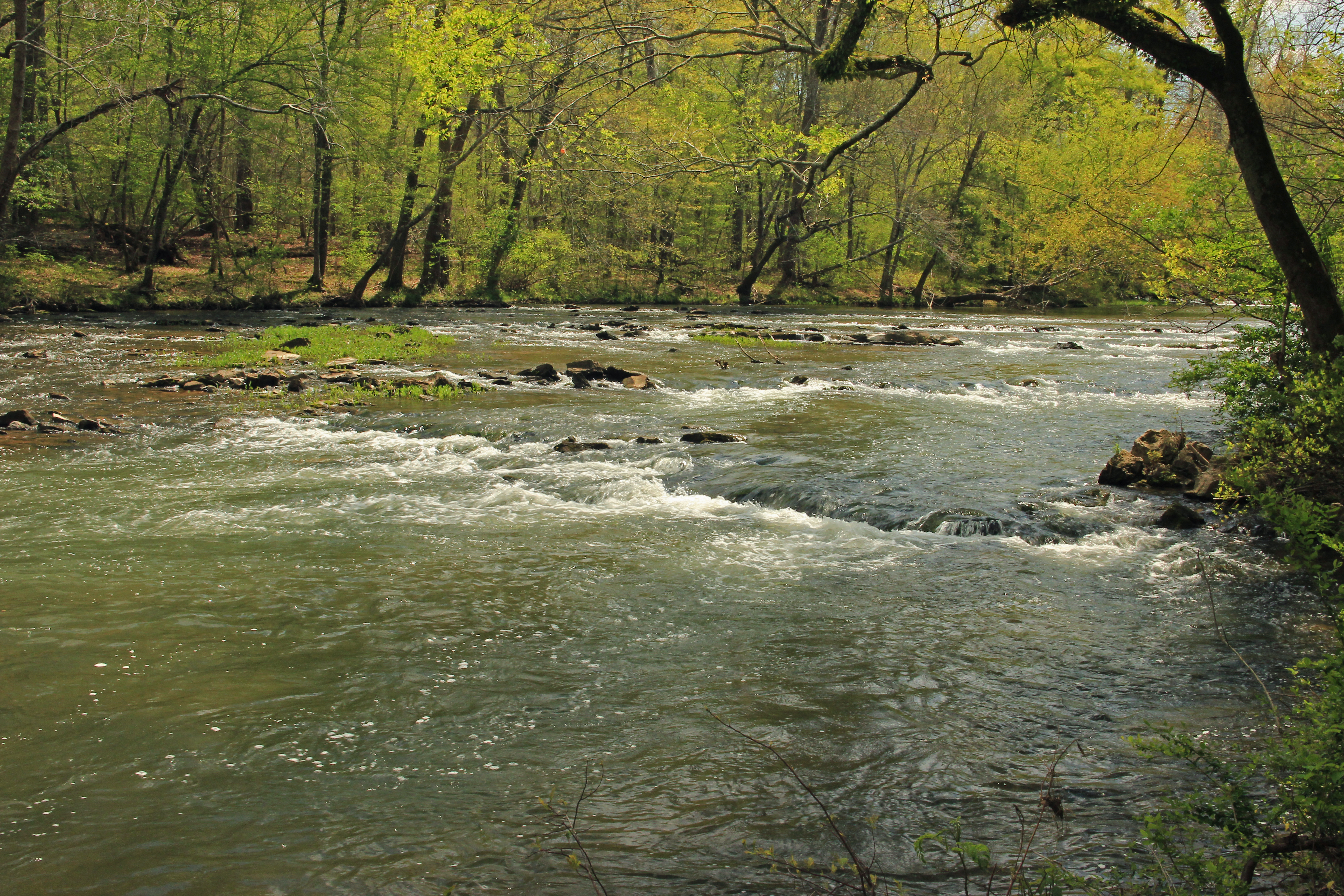
Big Cedar Creek, Floyd County, Georgia 3
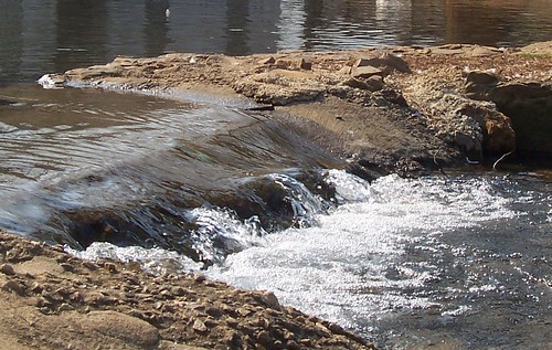
The Dam
Topographic Map of 19 Old Cedartown Rd, Cave Spring, GA, USA
Find elevation by address:

Places near 19 Old Cedartown Rd, Cave Spring, GA, USA:
Cave Spring
Fosters Mill Rd, Rome, GA, USA
544 Chubb Rd
125 Joy Dr Sw
Cunningham Rd SW, Rome, GA, USA
1997 Fosters Mill Rd
20 Rivermont Dr SW, Rome, GA, USA
279 River Ln Sw
22 Highlander Trail Sw
Georgia Highlands College
1499 Mt Alto Rd Sw
Cedartown Hwy, Rome, GA, USA
1420 Radio Springs Rd Sw
1165 Blacks Bluff Rd Sw
26 Oreburg Rd SW, Rome, GA, USA
83 Fairview Rd SW, Rome, GA, USA
2 Pinecrest Dr NW, Rome, GA, USA
Reeceburg Rd SE, Silver Creek, GA, USA
51 Cedar Ln Nw
Alabama Hwy, Rome, GA, USA
Recent Searches:
- Elevation of Corso Fratelli Cairoli, 35, Macerata MC, Italy
- Elevation of Tallevast Rd, Sarasota, FL, USA
- Elevation of 4th St E, Sonoma, CA, USA
- Elevation of Black Hollow Rd, Pennsdale, PA, USA
- Elevation of Oakland Ave, Williamsport, PA, USA
- Elevation of Pedrógão Grande, Portugal
- Elevation of Klee Dr, Martinsburg, WV, USA
- Elevation of Via Roma, Pieranica CR, Italy
- Elevation of Tavkvetili Mountain, Georgia
- Elevation of Hartfords Bluff Cir, Mt Pleasant, SC, USA