Elevation of 19 Main Rd, Toynton All Saints, Spilsby PE23 5AE, UK
Location: United Kingdom > England > Lincolnshire > Toynton All Saints >
Longitude: 0.0804107
Latitude: 53.1542948
Elevation: 49m / 161feet
Barometric Pressure: 101KPa
Elevation Map:
Satellite Map:
Related Photos:

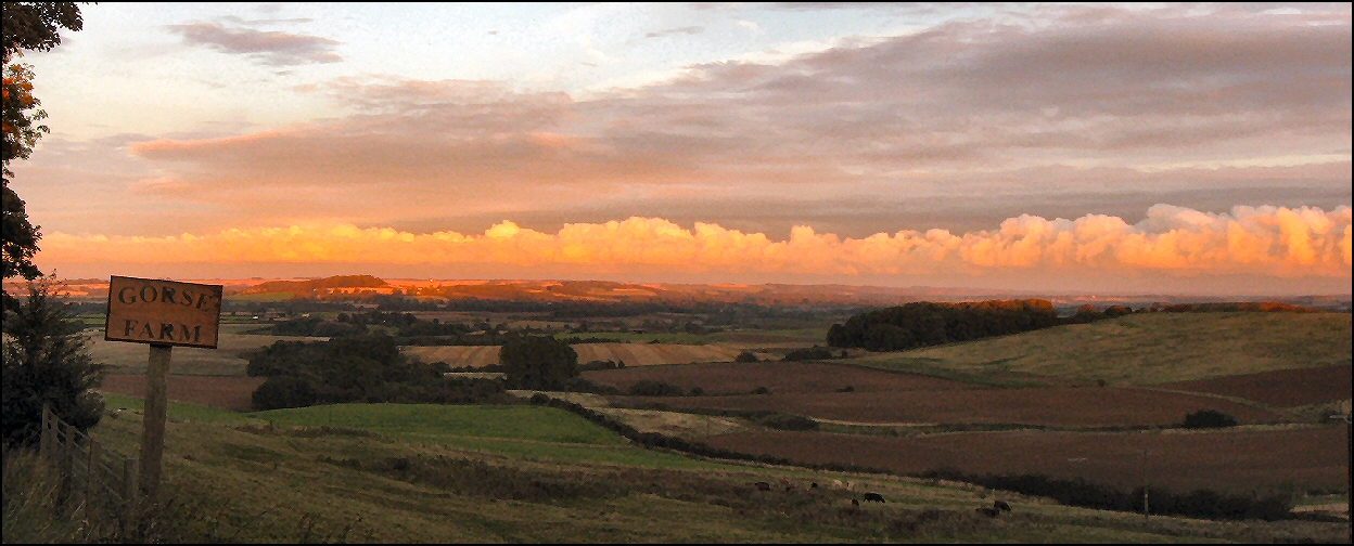
Lincolnshire Wolds Sunset

Digitally Wrapped Crockery

Brass Preserving Pans

St Mary's, Horncastle

Hareby SS Peter & Paul Lincs
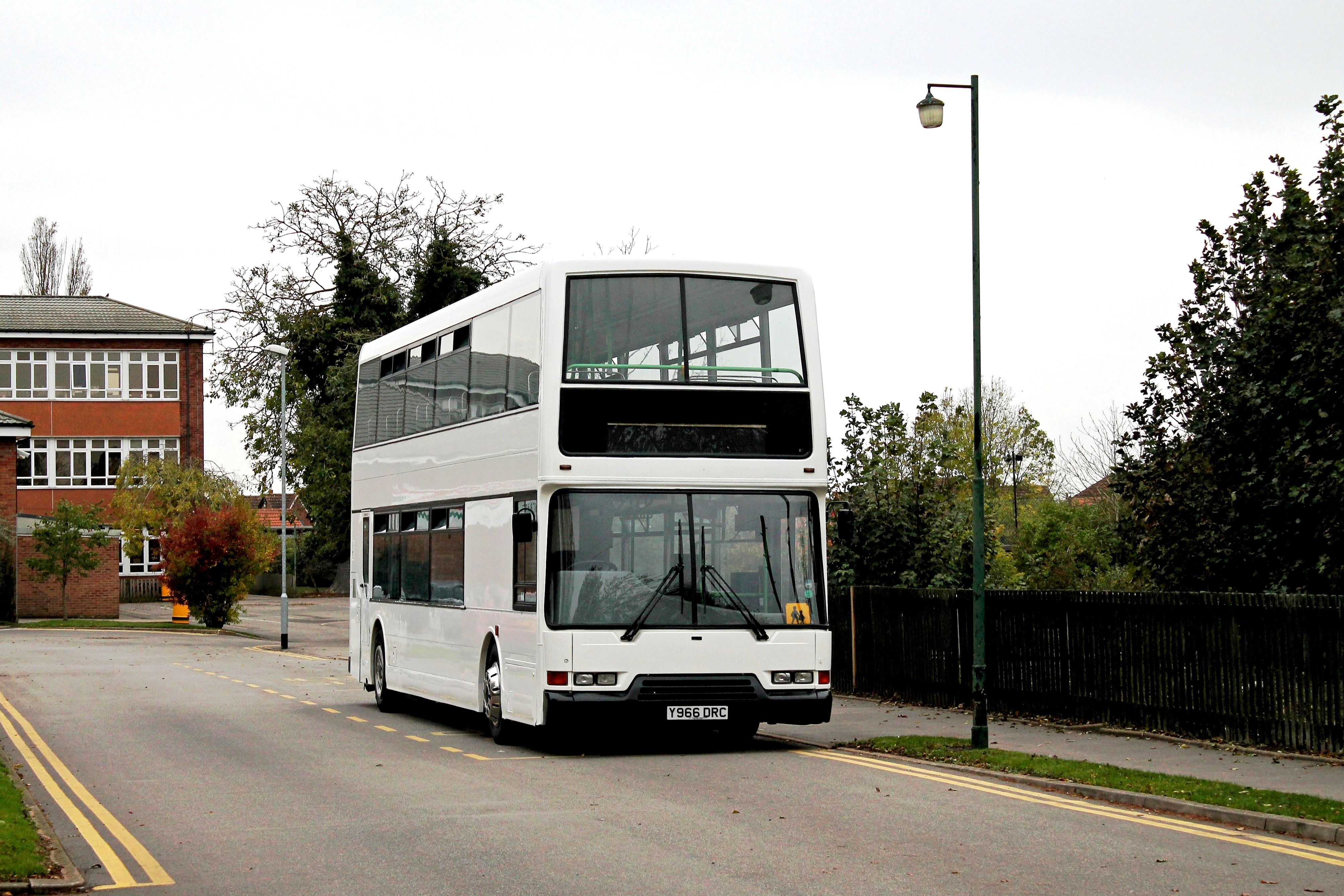
Dickinson Y966 DRC William Lovell C of E School Stickney 221014

Hareby SS Peter & Paul Lincs

Hameringham All Saints Lincs

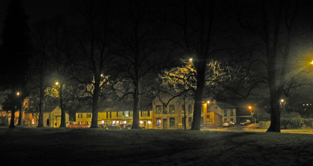
DSC_0007GPex+4tcSqc16x9: Old Co-op Rummage Yard - Horncastle - Lincolnshire - England
Evening Clouds

Sibsey Trader Windmill
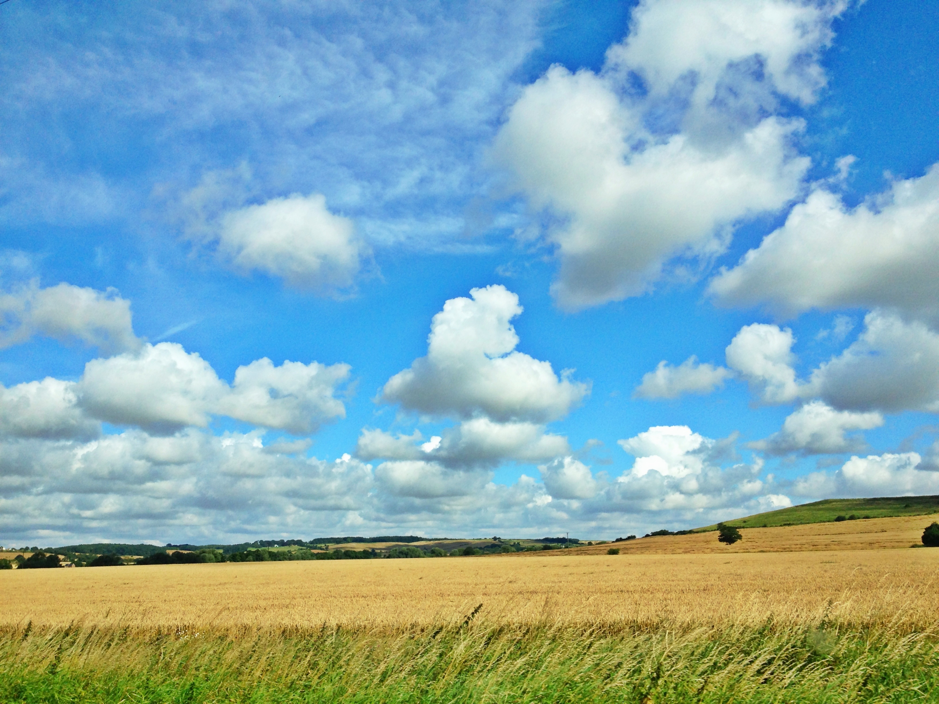
Lincolnshire Countryside Skies
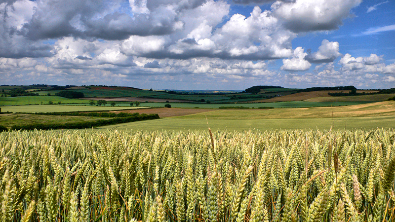
Lincolnshire Wolds
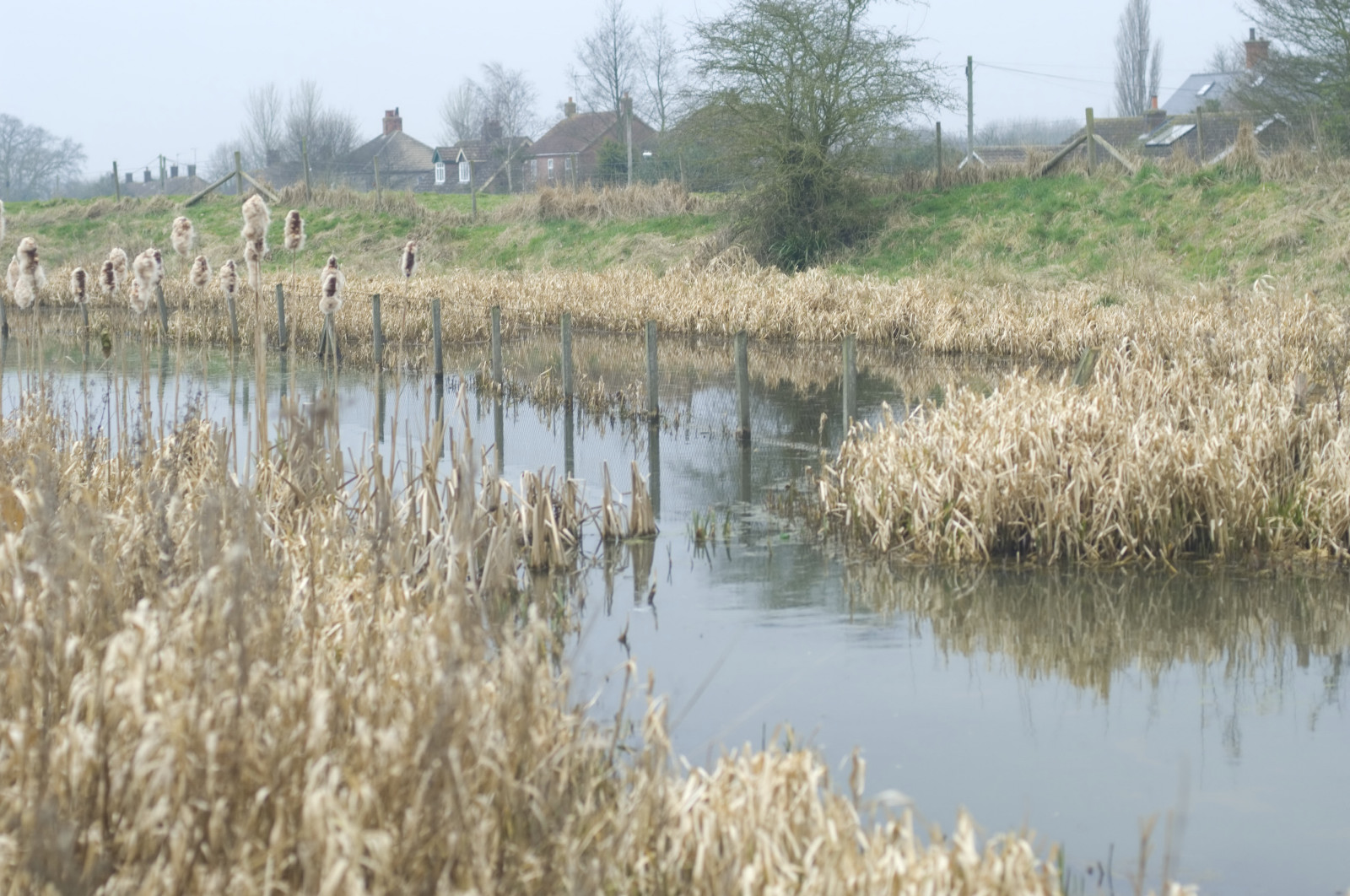
View across the frosty grass

365 Project: Day 018

St. Andrews, Little Steeping, Lincolnshire

Holton Holegate Church, Lincolnshire

Winceby Sunset #2
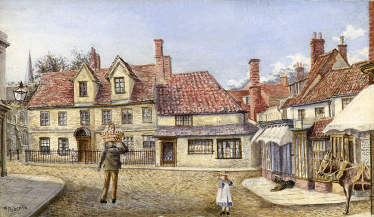
Vicarage and Punch House Painting. Pre 1866

Sibsey Trader Windmill

Sibsey Trader Windmill

Oxcombe, Lincolnshire Wolds

Just Jane

Oxcombe, Lincolnshire Wolds

Poppies in a field of ripening Oilseed Rape.

Red Sky at Night

Sibsey Trader

Old Bolingbroke-1 - Castle
Langton Hill #horncastle #field

2009-05-09ih Window ruin

Lancaster PA-474 (Thumper) & Lancaster C-GVRA (Vera) flying above Lancaster NX-611 (Just Jane)

YELHAM 3082
2008-03-n3-2844-r

Tumby Woodside station (3), 1981

Poppy Hillside

Storm Brewing

Follow the golden path..
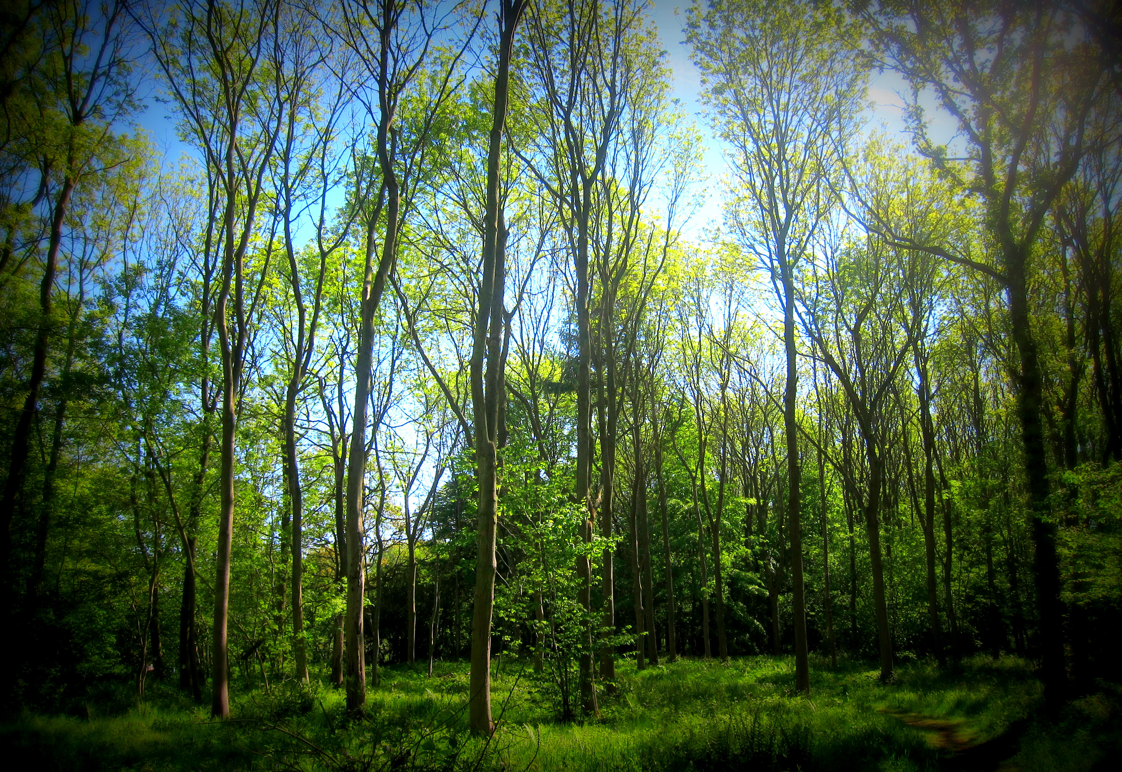
Rigsby Wood, Lincolnshire

Lean on Me
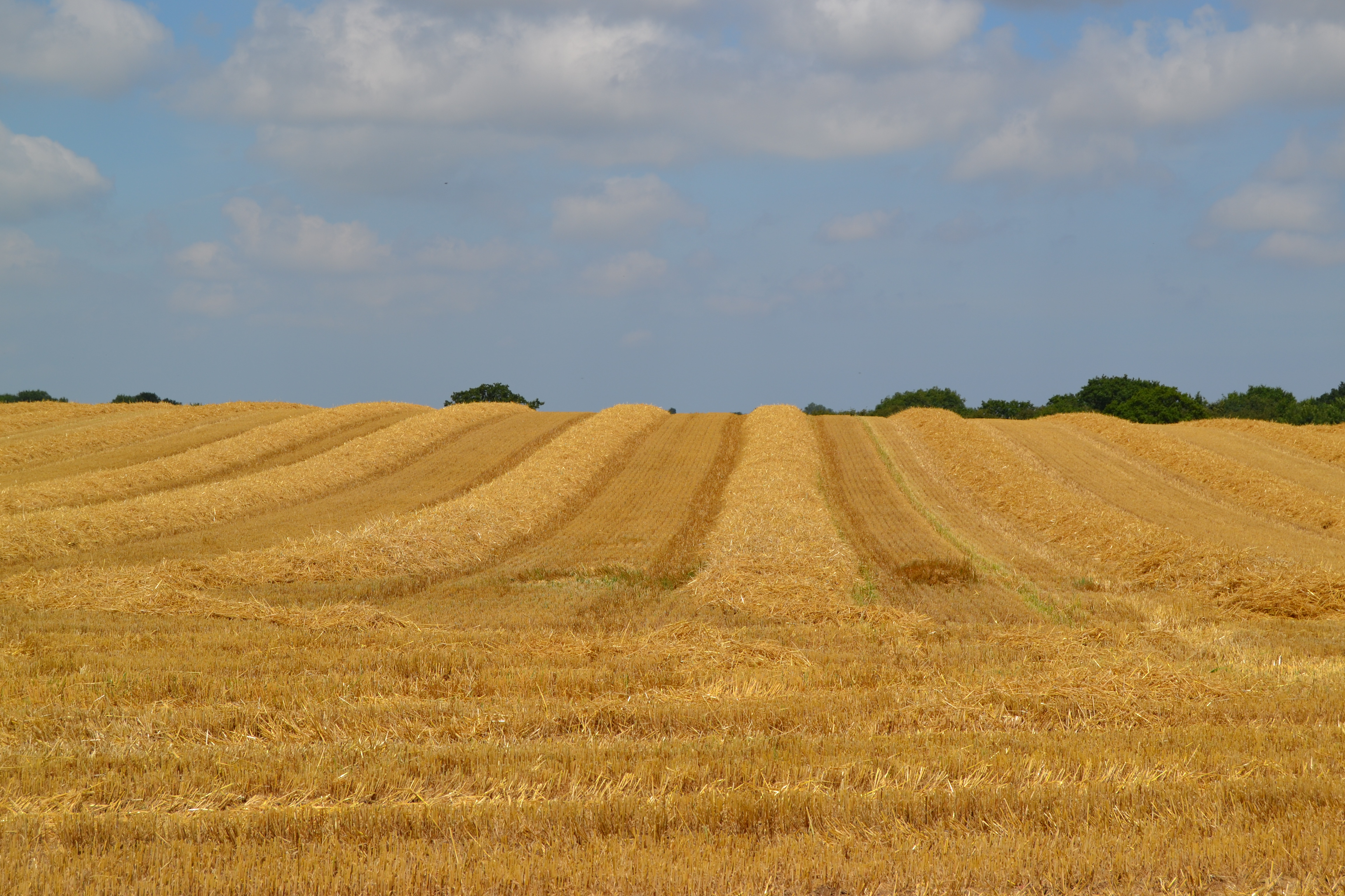
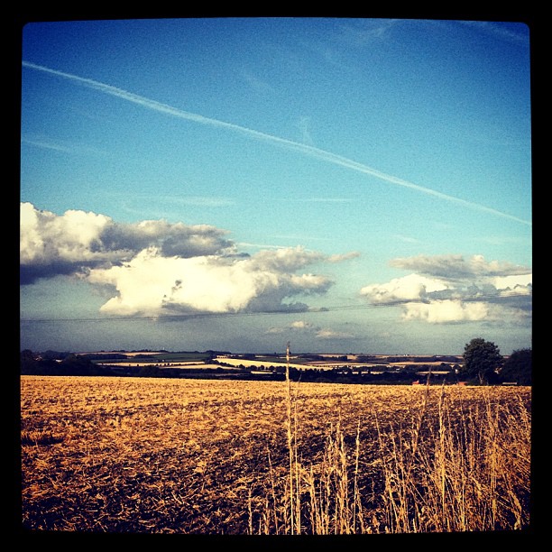
Harvest time
Topographic Map of 19 Main Rd, Toynton All Saints, Spilsby PE23 5AE, UK
Find elevation by address:

Places near 19 Main Rd, Toynton All Saints, Spilsby PE23 5AE, UK:
Toynton All Saints
Hundleby
Pe23 5lz
Spilsby
Main Rd, Hundleby, Spilsby PE23 5LZ, UK
West Keal
4 Main Rd, West Keal, Spilsby PE23 4BE, UK
Hall Lane
Pe23 5bb
Pe23 4ex
Langton
Old Bolingbroke
Little Steeping
Pe23 5bl
Eastville
8 Station Rd, Little Steeping, Spilsby PE23 5BH, UK
Pe23 4nl
Witzend Cottage
Mill Cottage
1 Langton Grange Cottages, Langton, Spilsby PE23 4PT, UK
Recent Searches:
- Elevation of Corso Fratelli Cairoli, 35, Macerata MC, Italy
- Elevation of Tallevast Rd, Sarasota, FL, USA
- Elevation of 4th St E, Sonoma, CA, USA
- Elevation of Black Hollow Rd, Pennsdale, PA, USA
- Elevation of Oakland Ave, Williamsport, PA, USA
- Elevation of Pedrógão Grande, Portugal
- Elevation of Klee Dr, Martinsburg, WV, USA
- Elevation of Via Roma, Pieranica CR, Italy
- Elevation of Tavkvetili Mountain, Georgia
- Elevation of Hartfords Bluff Cir, Mt Pleasant, SC, USA