Elevation of 18, Peru
Location: Peru > Arequipa > Arequipa >
Longitude: -71.847139
Latitude: -16.494309
Elevation: 1514m / 4967feet
Barometric Pressure: 84KPa
Elevation Map:
Satellite Map:
Related Photos:
K5IIs-090315-218

K5IIs-090315-217

K5IIs-090315-212
K5IIs-090315-209
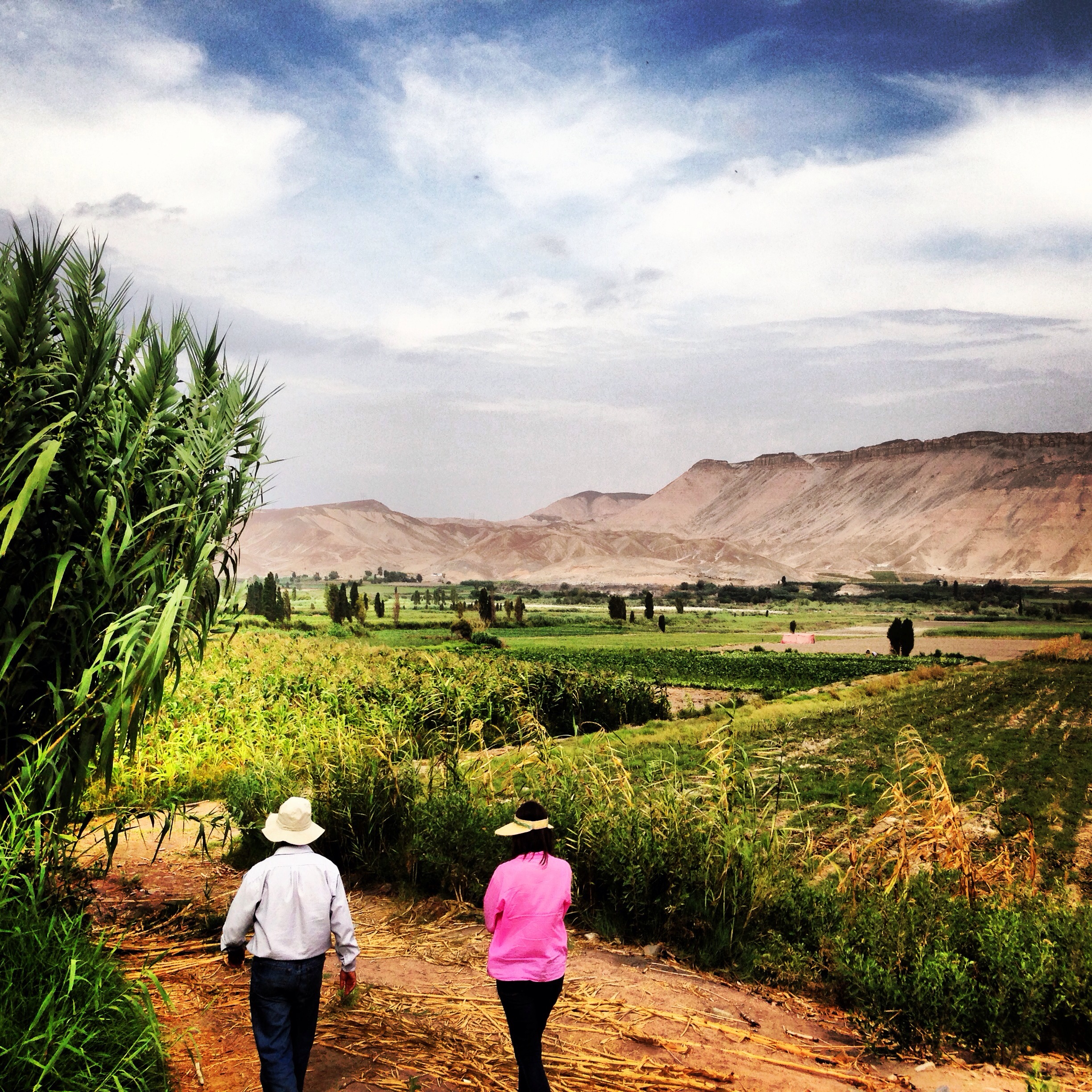
joshrjohnson4: Coco explaining farming to E - I think she got it? #arequipa #dayatthefarm
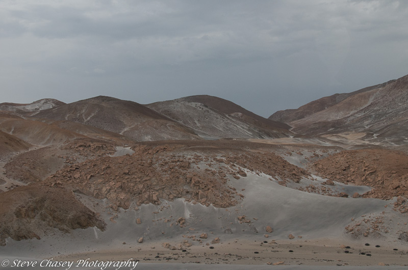
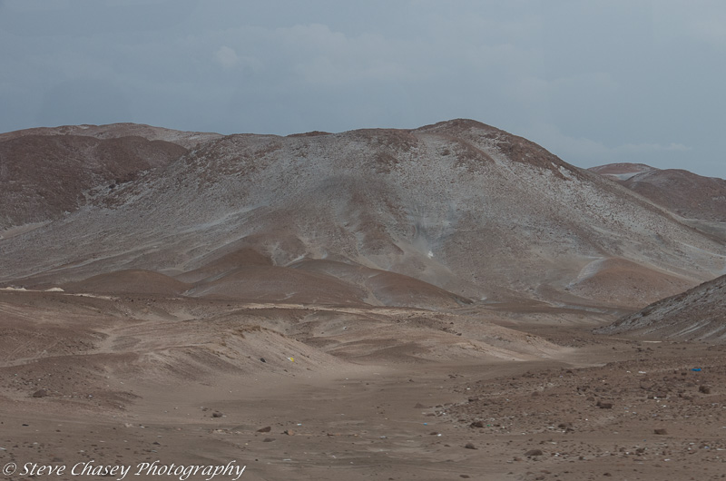
Nasca-Arequipa
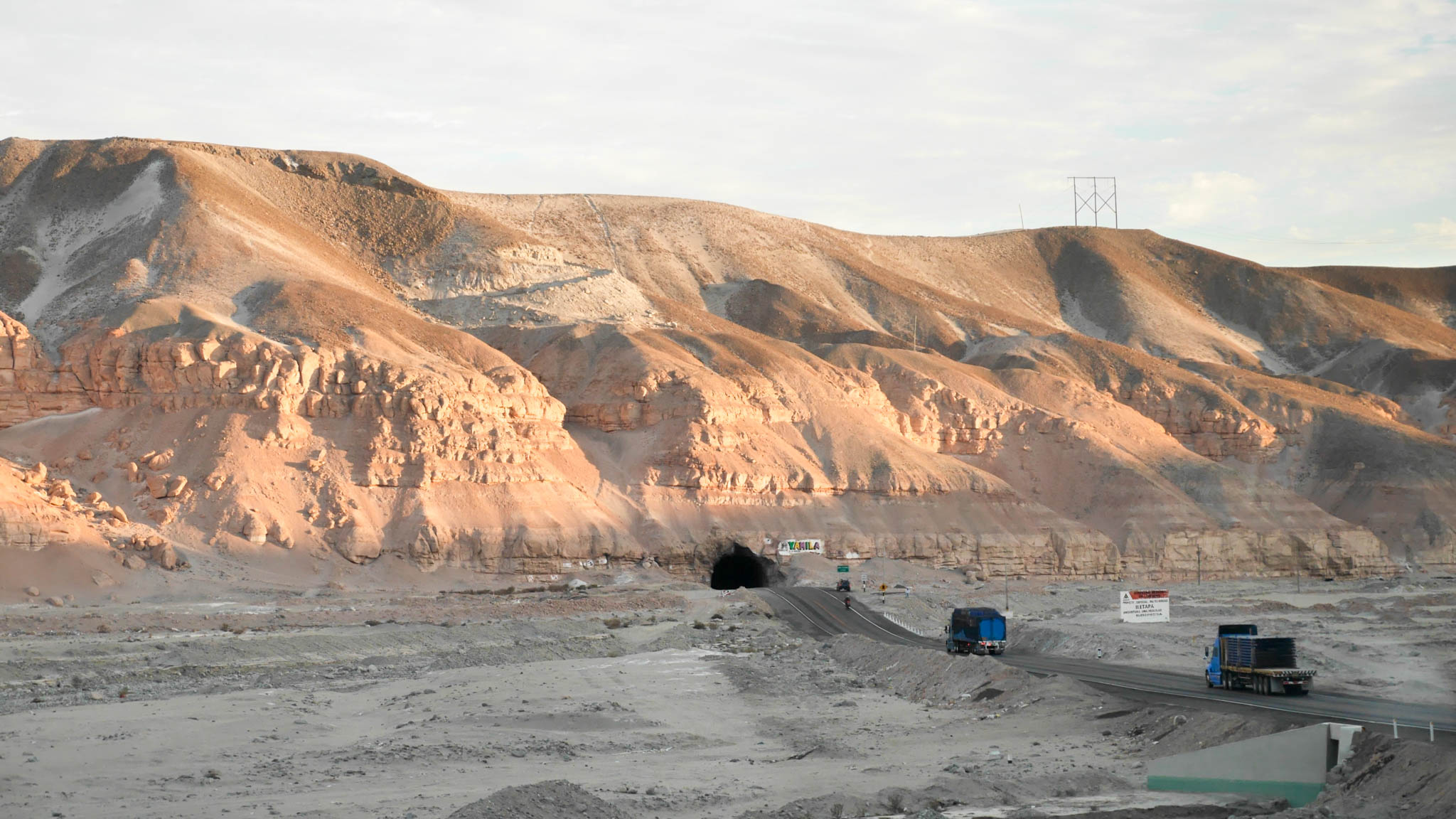
Nasca-Arequipa
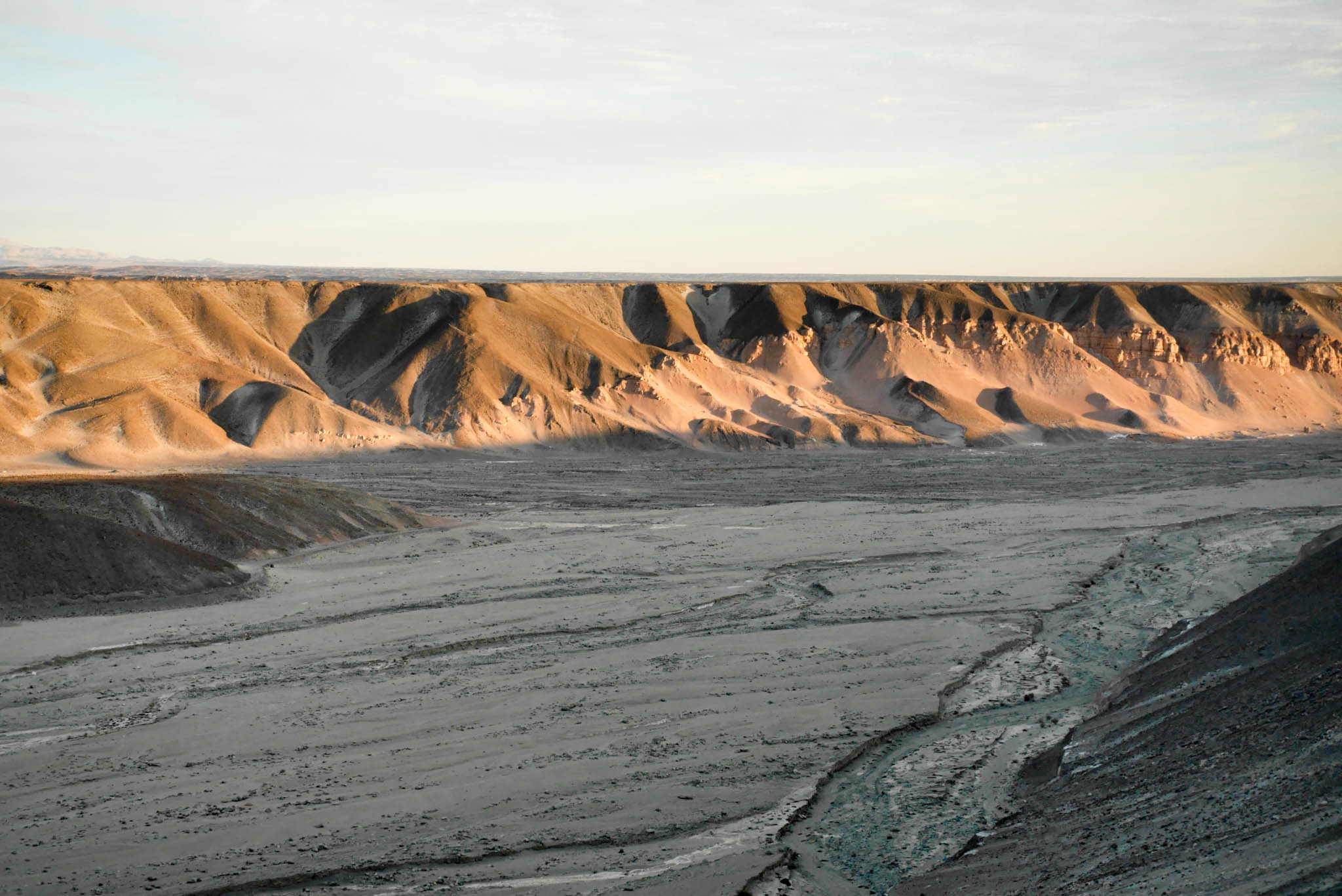
Nasca-Arequipa
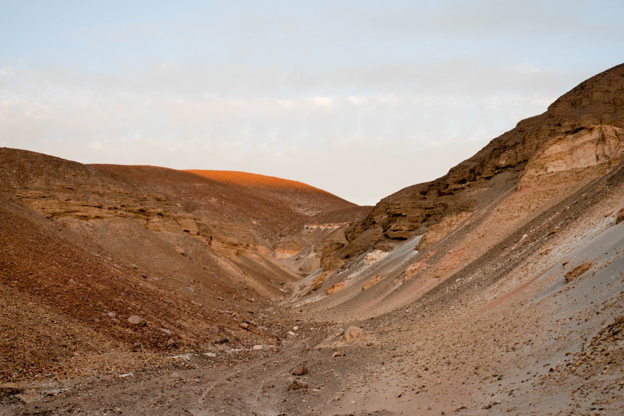
Nasca-Arequipa

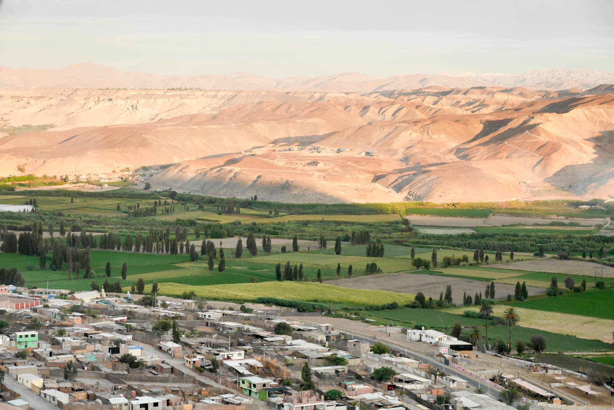
Kiezels zat richting Arequipa op 2400 meter hoogte

The Andes
Topographic Map of 18, Peru
Find elevation by address:

Places near 18, Peru:
Carr. Panamericana Sur, Peru
Ampato
Sabancaya
Carr. Panamericana Sur 28, Peru
Carr. Panamericana Sur 20, Peru
Cabanaconde
Panamericana Sur 13, La Punta, Peru
Maca
Camana
Pinchollo
A
Pachamama
Cabanaconde District
1SE, Peru
Mirador Cruz Del Cóndor
Mirador De San Miguel
Unnamed Road
San Juan De Chuccho
Sangalle
Malata
Recent Searches:
- Elevation of Corso Fratelli Cairoli, 35, Macerata MC, Italy
- Elevation of Tallevast Rd, Sarasota, FL, USA
- Elevation of 4th St E, Sonoma, CA, USA
- Elevation of Black Hollow Rd, Pennsdale, PA, USA
- Elevation of Oakland Ave, Williamsport, PA, USA
- Elevation of Pedrógão Grande, Portugal
- Elevation of Klee Dr, Martinsburg, WV, USA
- Elevation of Via Roma, Pieranica CR, Italy
- Elevation of Tavkvetili Mountain, Georgia
- Elevation of Hartfords Bluff Cir, Mt Pleasant, SC, USA