Elevation of 18 Osprey Cir, Okatie, SC, USA
Location: United States > South Carolina > Beaufort County > Okatie >
Longitude: -80.861238
Latitude: 32.3289663
Elevation: 7m / 23feet
Barometric Pressure: 101KPa
Elevation Map:
Satellite Map:
Related Photos:
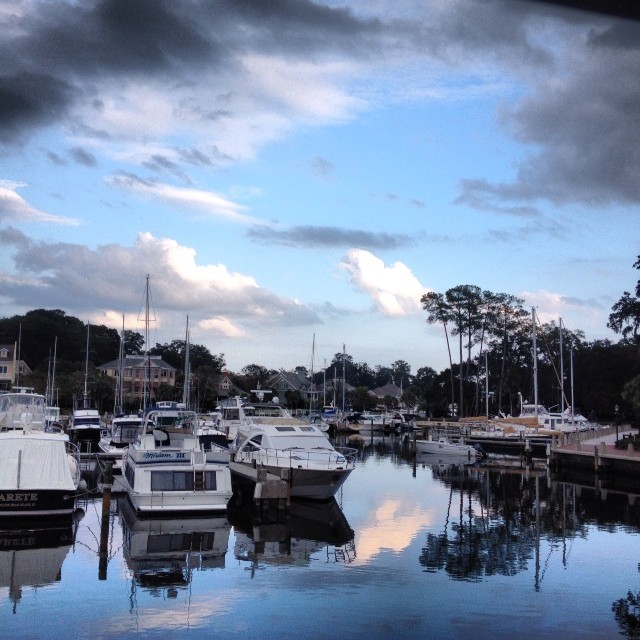
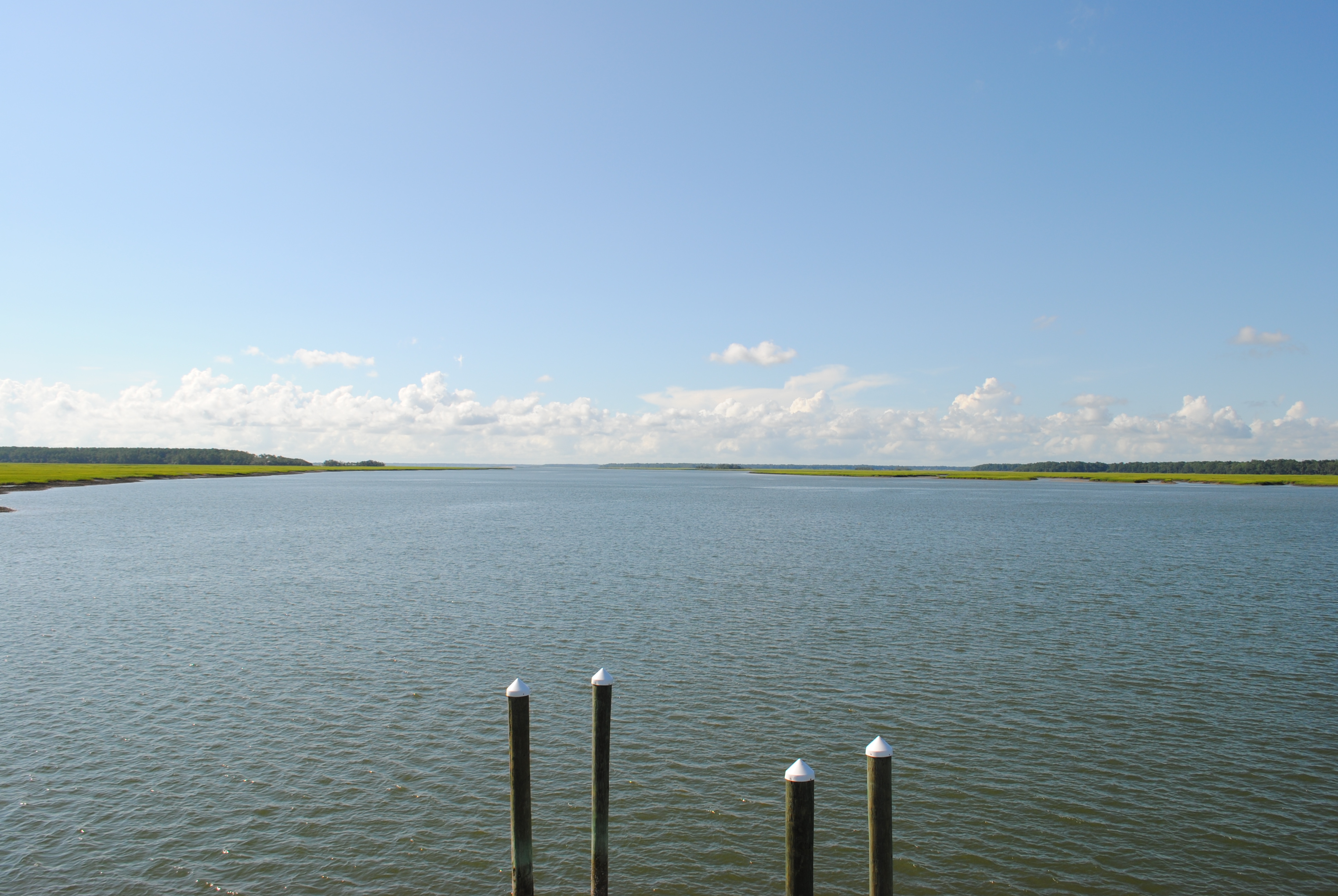
View from my Dad's boat in Hilton Head.
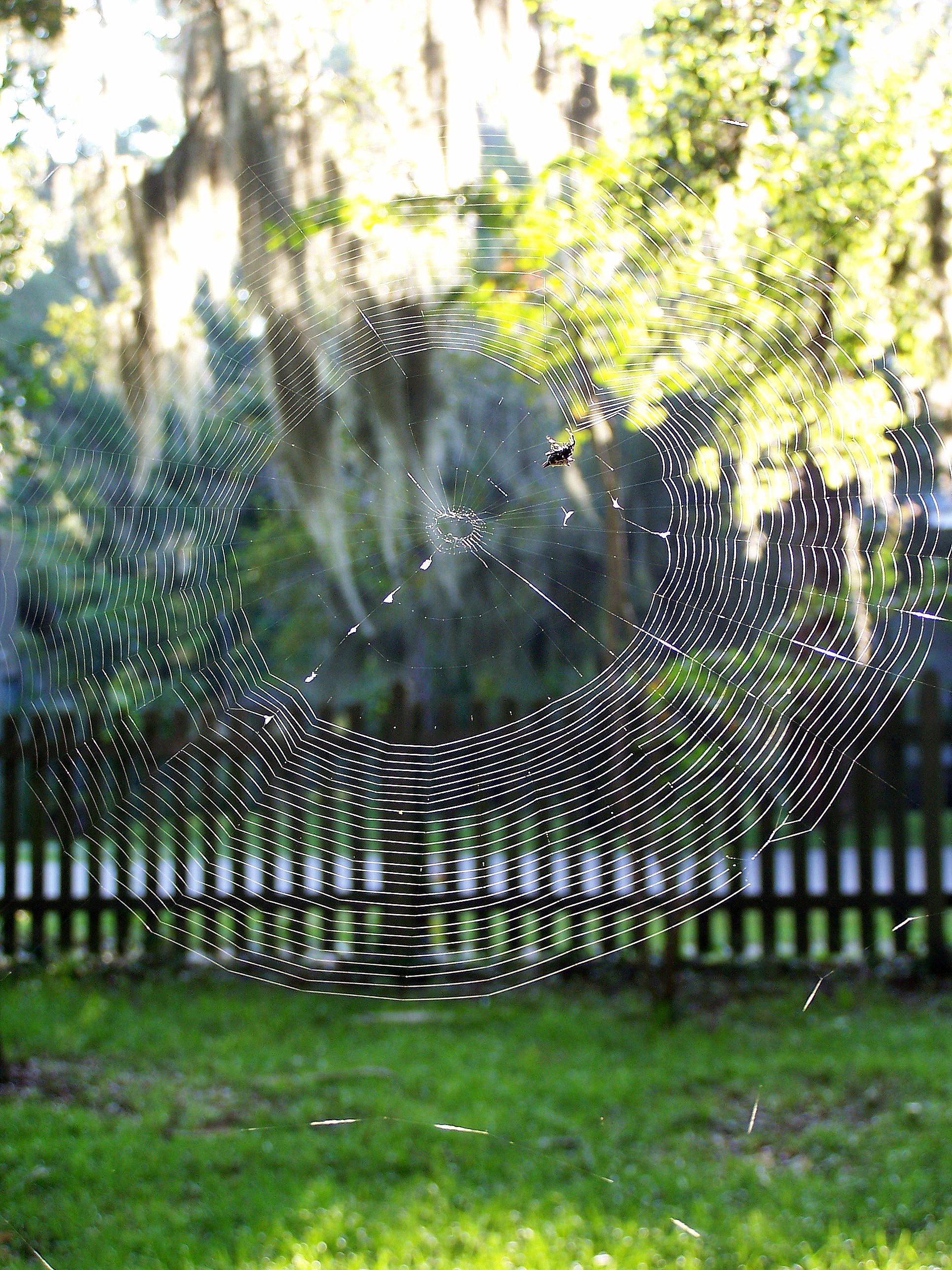
Orb Weaver
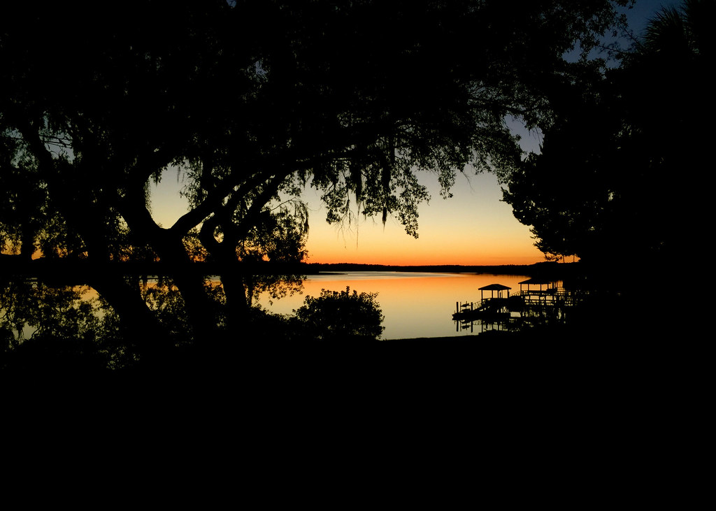
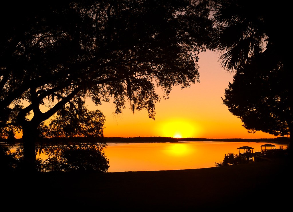
Naturally Framed Sunset

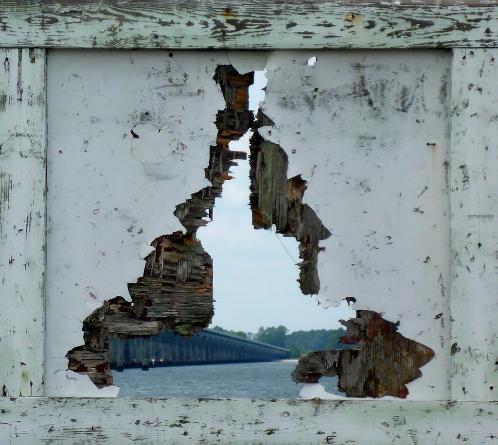
TrackHead Studios - Boat Frame

TrackHead Studios - Reflecting
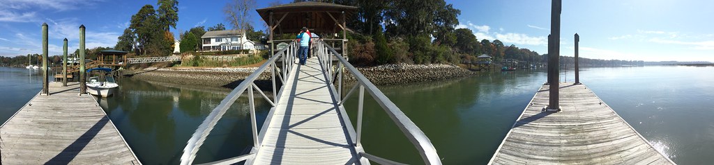
TrackHead Studios - Bridge Frame
TrackHead Studios - Natural Mirror

TrackHead Studios - Big Sky Sunset

TrackHead Studios - Lucky Bastards
TrackHead Studios - Which Way?

TrackHead Studios - World Reflected

Palmetto Bluff - New Video

TrackHead Studios - Gateway to the May River
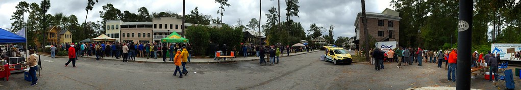
TrackHead Studios - Bluffton Beer Fest

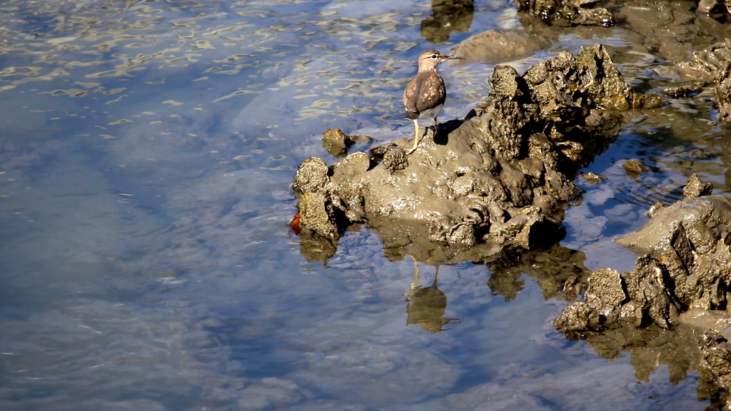
TrackHead Studios - Barnacle High-Rise Dwellings
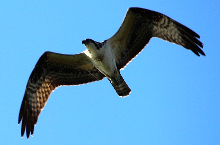
TrackHead Studios - Osprey Overhead
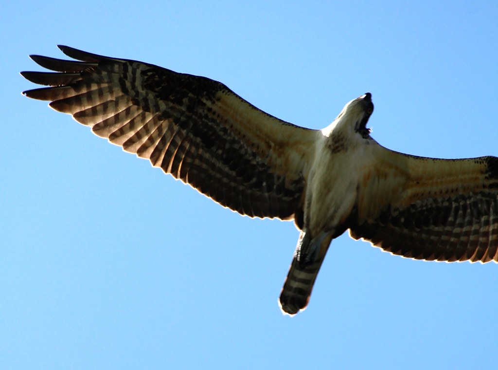
TrackHead Studios - Osprey Above

TrackHead Studios - Der Teufelhund

TrackHead Studios - Lucky Shot Thru WindShield
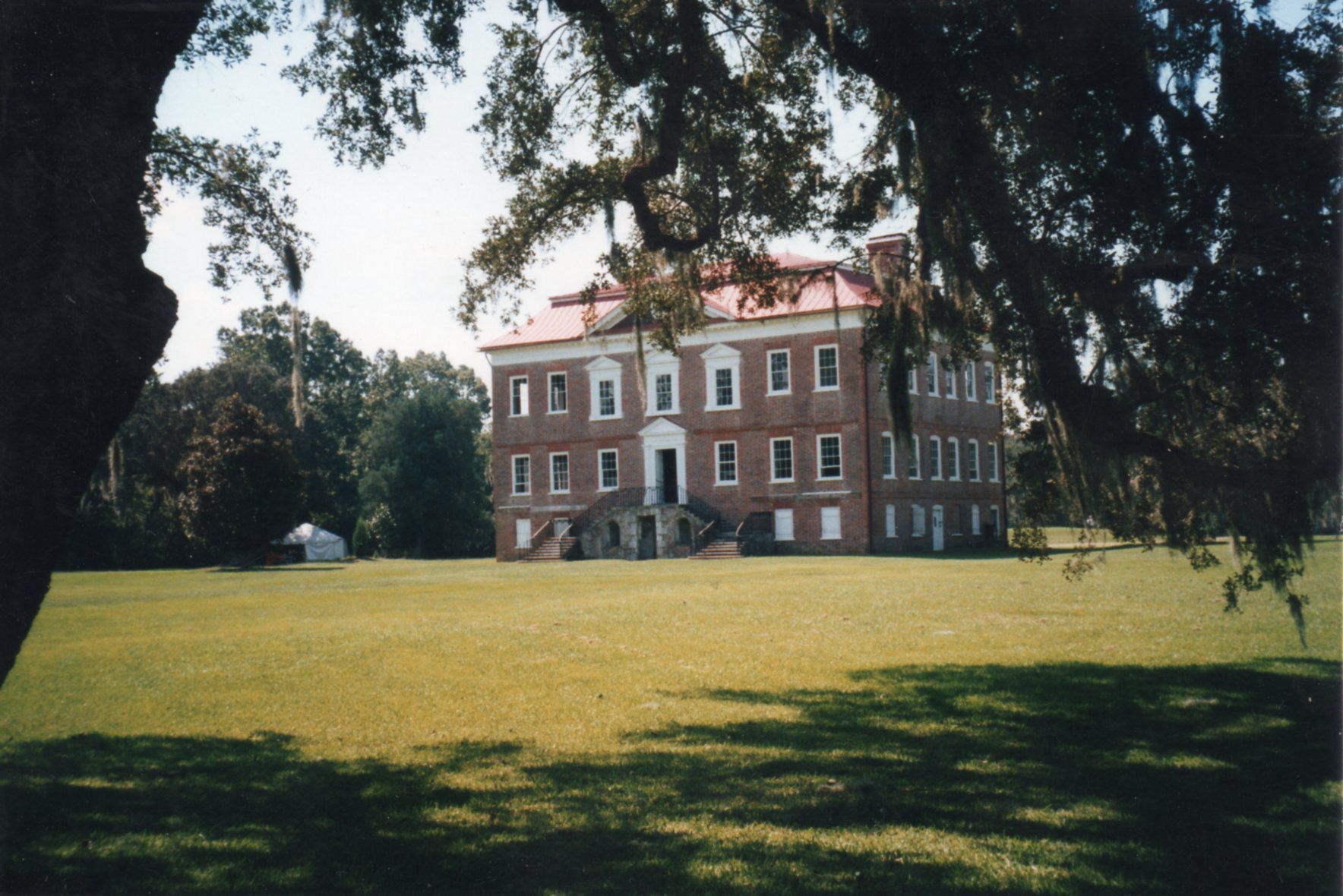
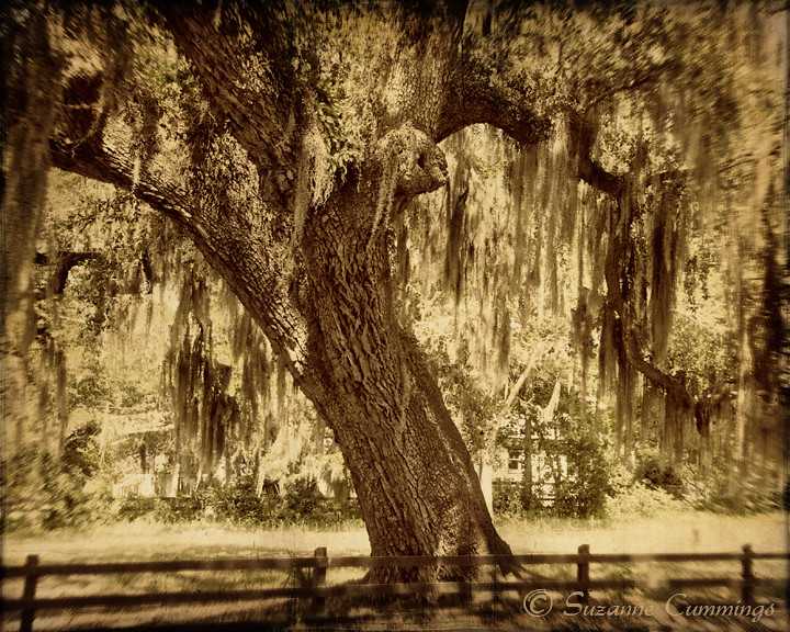
Drayton Hall ~ Charleston, SC ~ Rear View ~ 2001
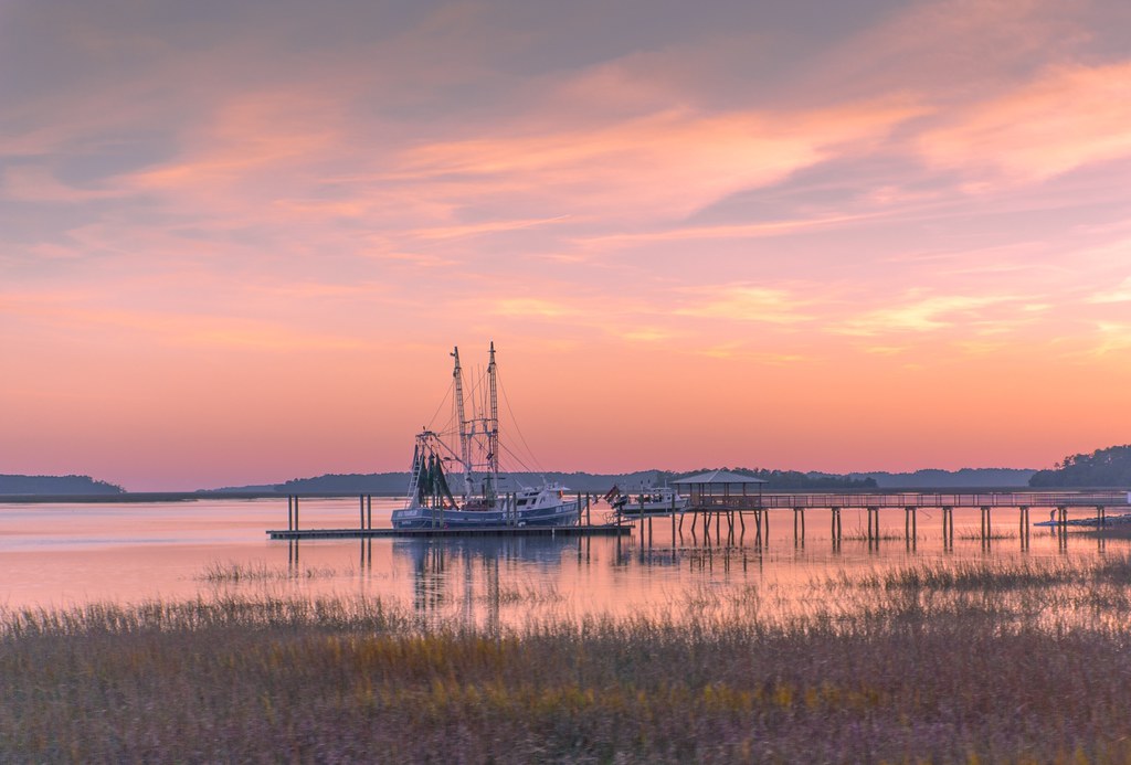
May River Sunset

Ahhhhh.

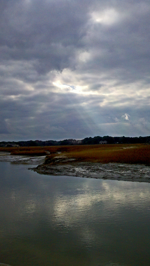
Low Tide Sunset
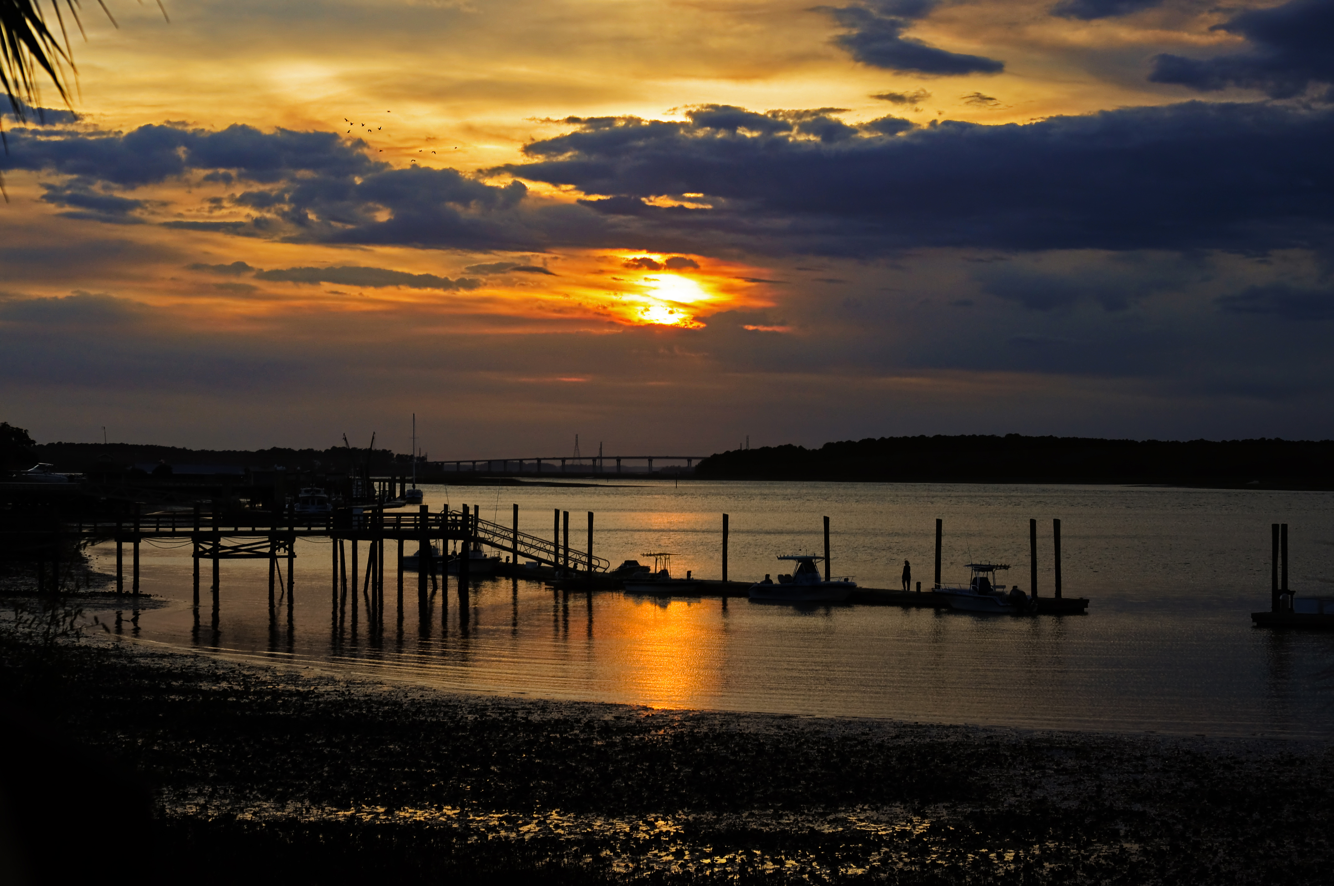
Cross Island Bridge Sunset

TrackHead Studios - Above

A great egret along the trail

TrackHead Studios - South Carolina Summer 2014
Raintree Country
Pinckney Island
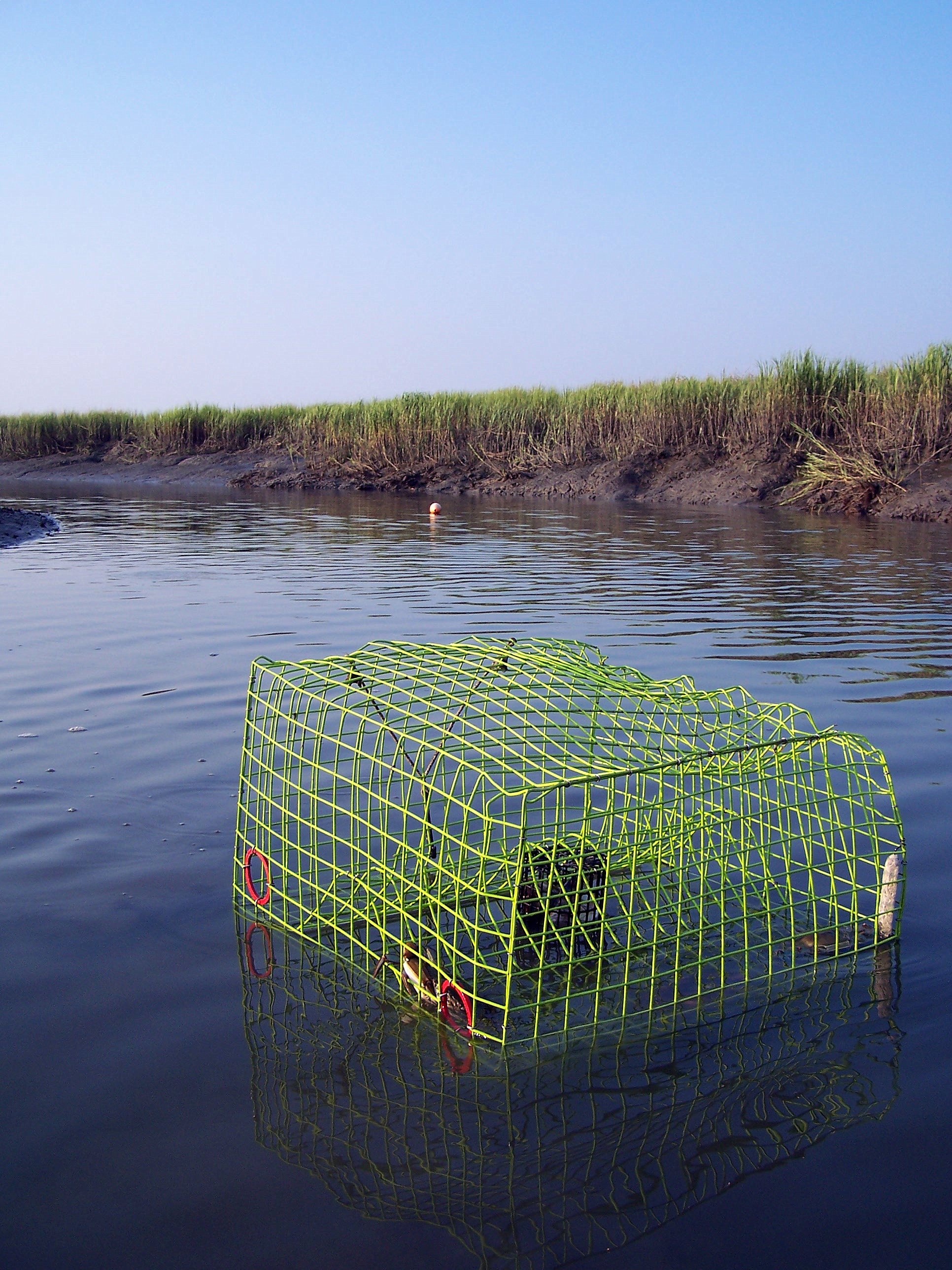
Crab Trap

May River Sunset
DSC_0622.JPG
DSC_0624.JPG
January Fish Haul
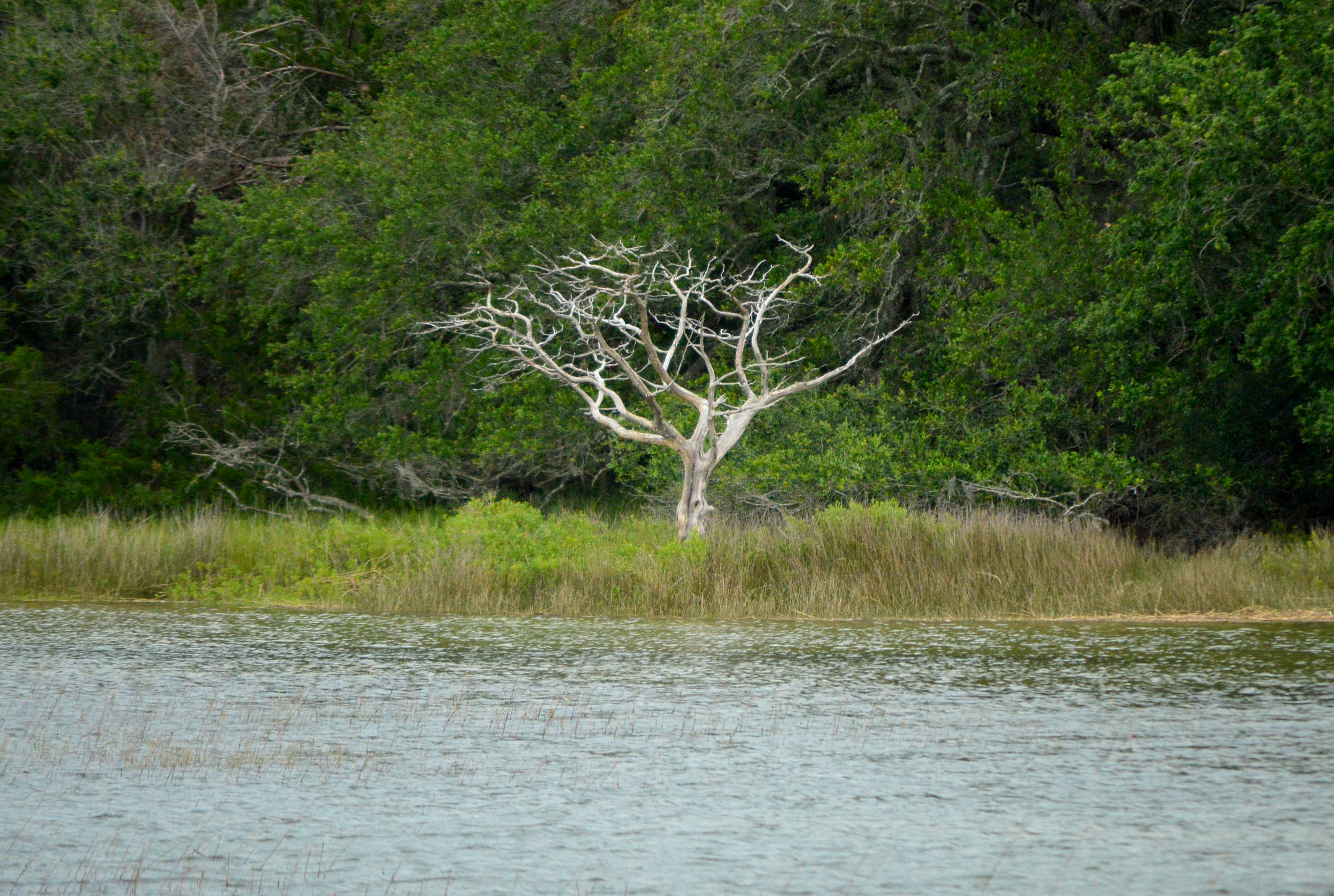
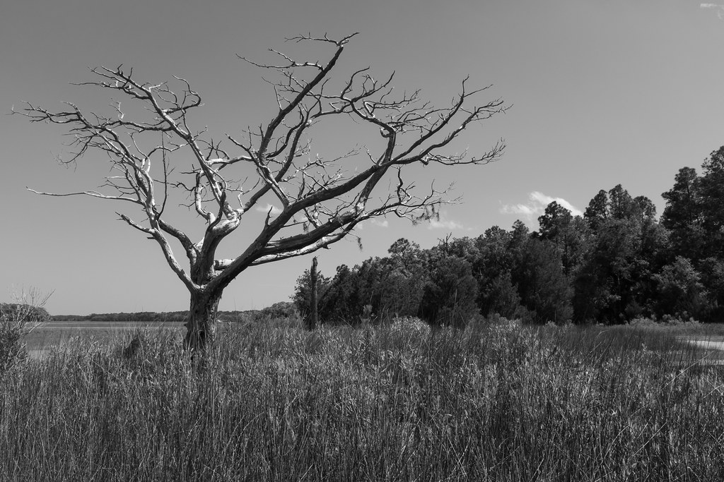
The lone tree

Setting sunlight in the low country.
HHI Sunset

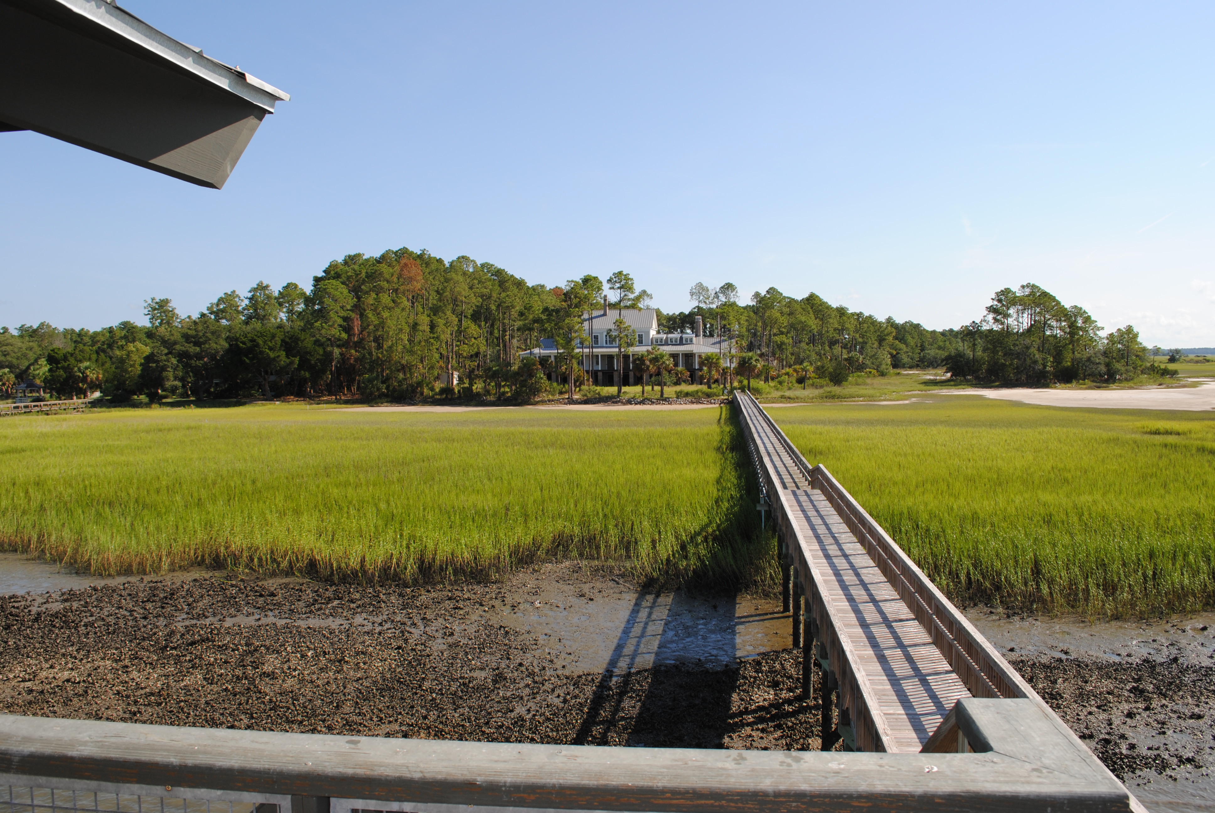
May River
Topographic Map of 18 Osprey Cir, Okatie, SC, USA
Find elevation by address:

Places near 18 Osprey Cir, Okatie, SC, USA:
21 Osprey Cir
35 Osprey Cir
28 Osprey Cir
17 Winding Oak Dr
15 Winding Oak Dr
49 Winding Oak Dr
95 Osprey Cir
12 Sequoia Ct
13 Sequoia Ct
103 Winding Oak Dr
115 Winding Oak Dr
16 Tabby Point Ln
21 Tabby Point Ln
24 Tabby Point Ln
203 Callawassie Dr
Okatie, SC, USA
31 Rose Hill Way
36 Rose Hill Way
42 Rose Hill Way
32 Rose Hill Way
Recent Searches:
- Elevation of Corso Fratelli Cairoli, 35, Macerata MC, Italy
- Elevation of Tallevast Rd, Sarasota, FL, USA
- Elevation of 4th St E, Sonoma, CA, USA
- Elevation of Black Hollow Rd, Pennsdale, PA, USA
- Elevation of Oakland Ave, Williamsport, PA, USA
- Elevation of Pedrógão Grande, Portugal
- Elevation of Klee Dr, Martinsburg, WV, USA
- Elevation of Via Roma, Pieranica CR, Italy
- Elevation of Tavkvetili Mountain, Georgia
- Elevation of Hartfords Bluff Cir, Mt Pleasant, SC, USA