Elevation of 18 Antler Trail, Clyde, NC, USA
Location: United States > North Carolina > Haywood County > Fines Creek >
Longitude: -83.00449
Latitude: 35.678134
Elevation: 772m / 2533feet
Barometric Pressure: 92KPa
Elevation Map:
Satellite Map:
Related Photos:

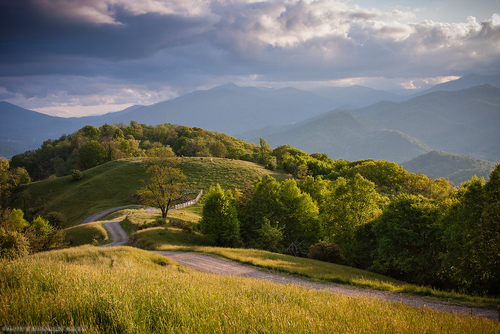
Palmer Creek Cascades 2
Cataloochee Elk-GSMNP
Cabin in the Field
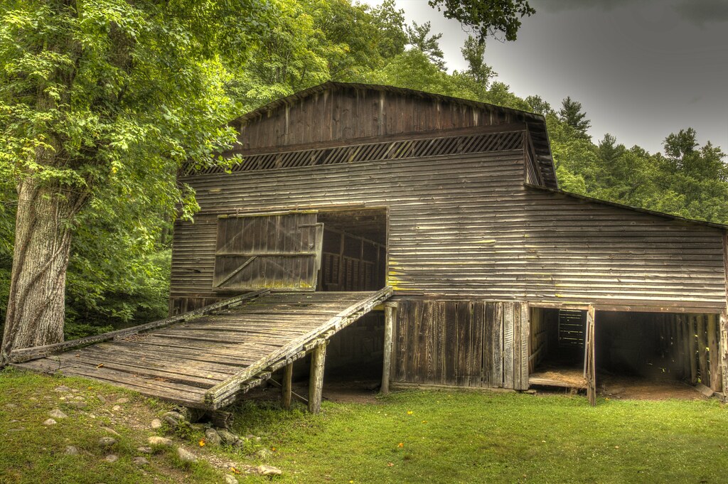
Palmer Barn Door

Max Patch, Ecclesiastes 3:11

225e red spotted purple

Profile View

TrackHead Studios - DO NOT TOUCH

Max Patch, Romans 1:20

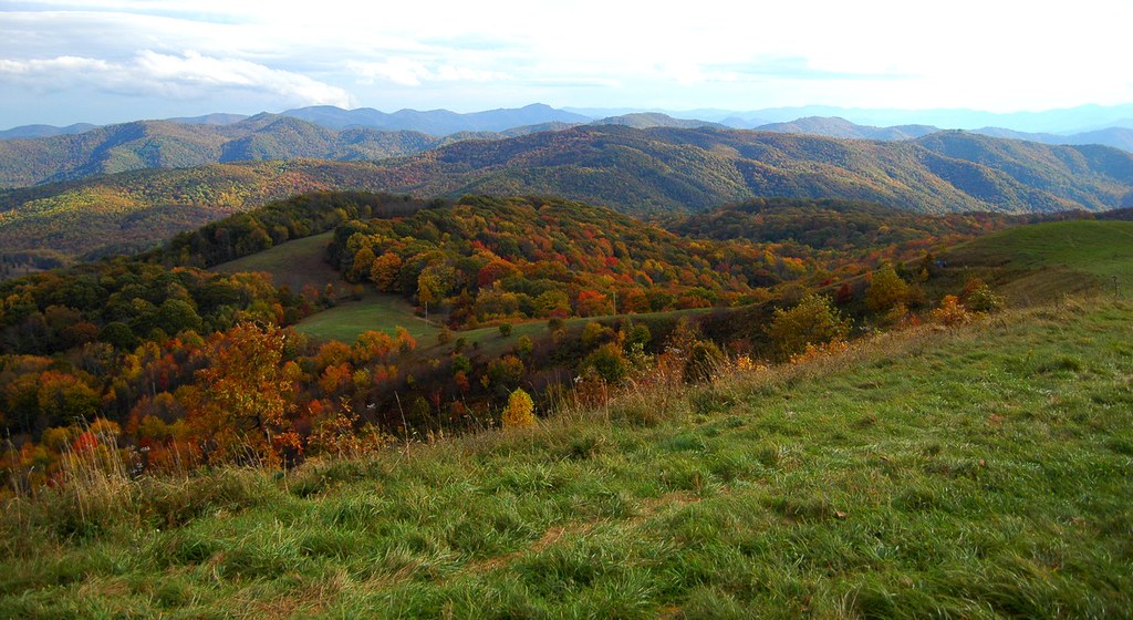
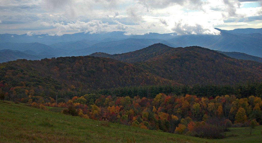
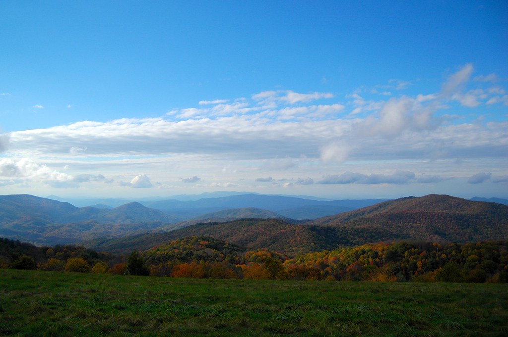
View From Max Patch
Maggie Valley, NC

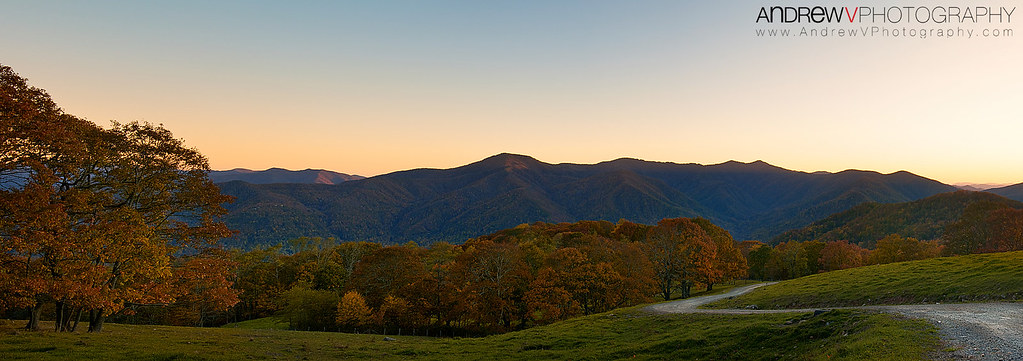
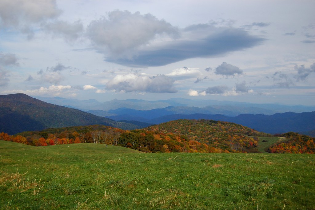
Fall on Max Patch
Mountain Stream

Max Patch, Isaiah 52:10
Palmer Creek Cascades

View from the back porch.

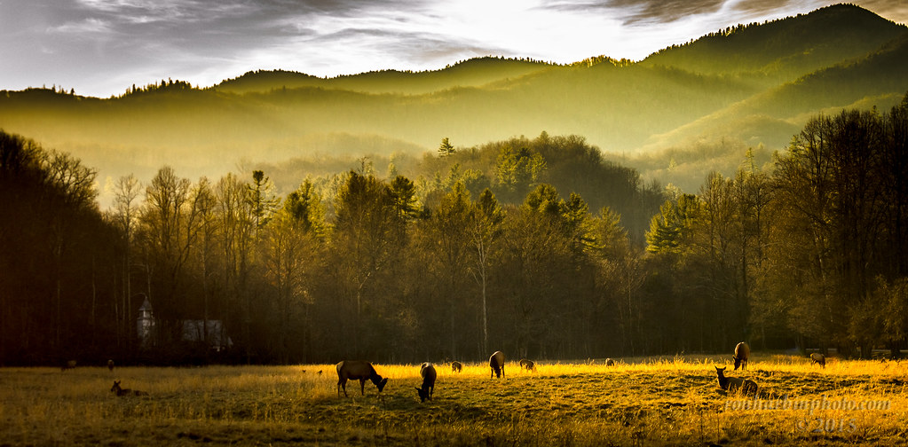
Elk Grazing in Little Cataloochee

Rainbows over Max Patch

View from Max Patch

View from Max Patch, looking east
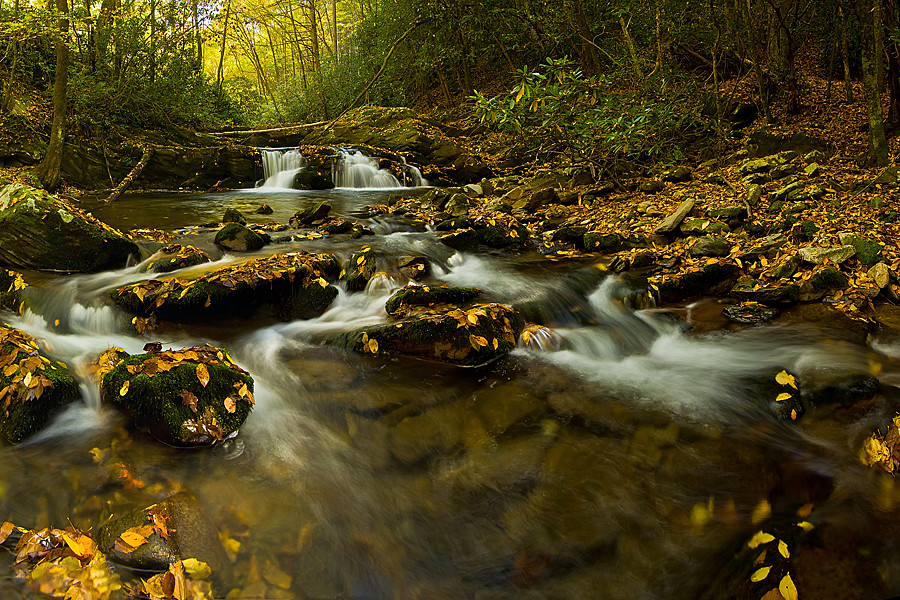
Palmer Creek Cascades

tone gold
Mouse Creek Falls

Sunlight in the Trees

Mountain Mornings
Harmon Den Creek in North Carolina.

Icy Mountain Stream
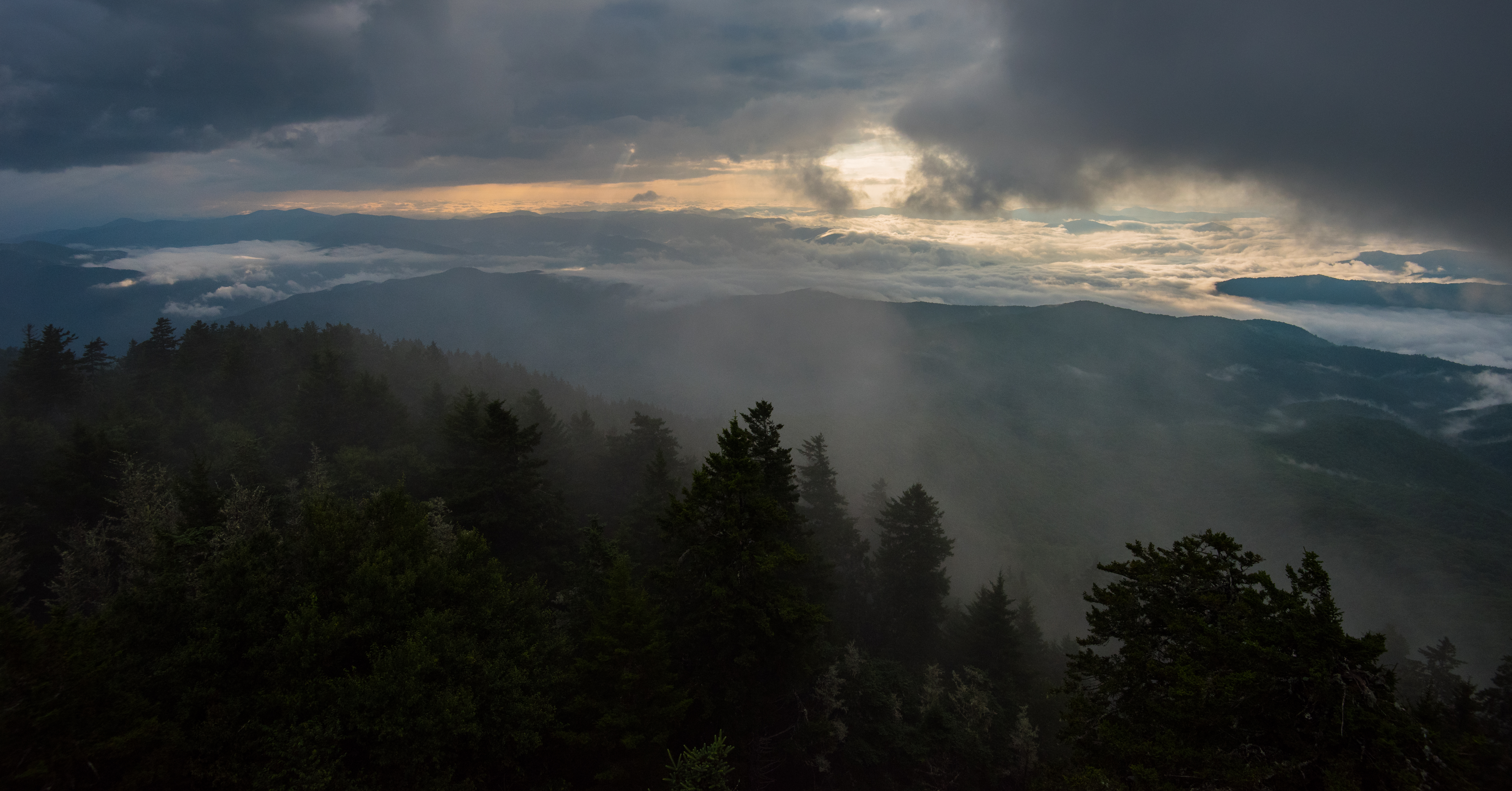
Clouds Below Mt Sterling, Great Smoky Mountains NP
Max Patch 03
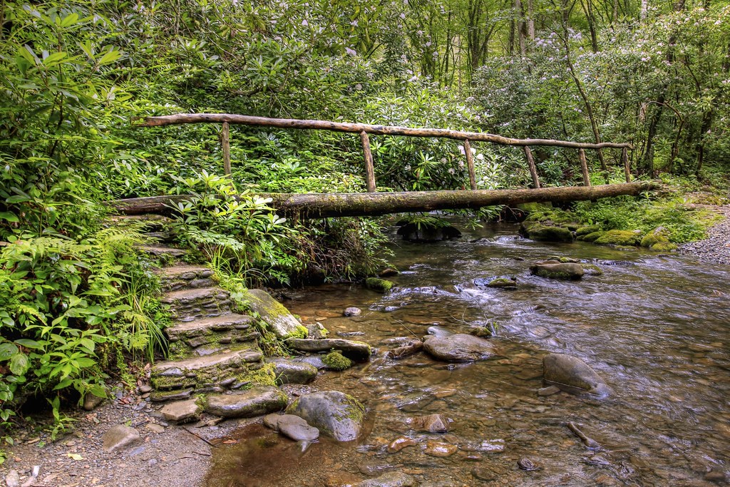
Bridge in the Woods

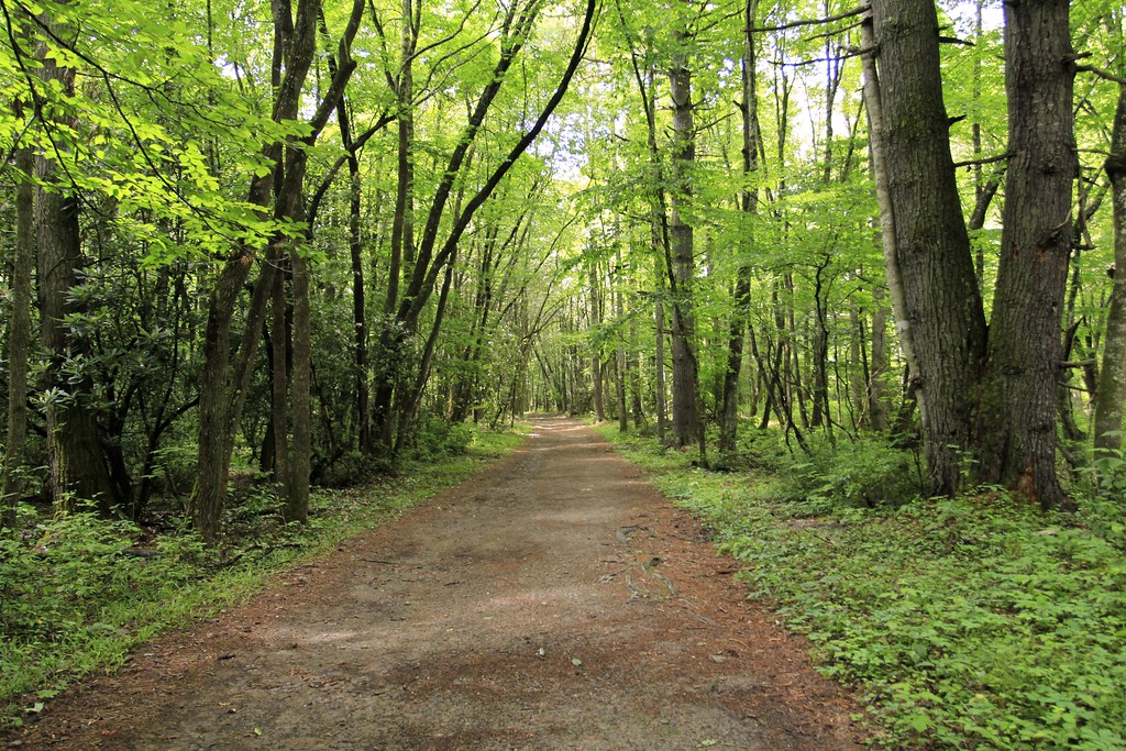
Step into Nature
Into the Forest
Max Patch 02

Blue Ridge Mountains, Psalm 104:32
Max Patch 04
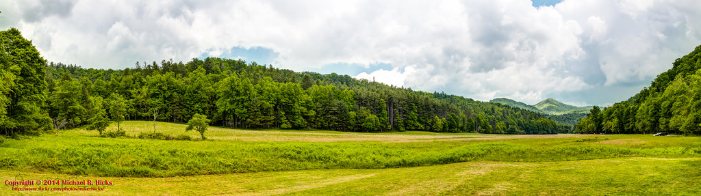
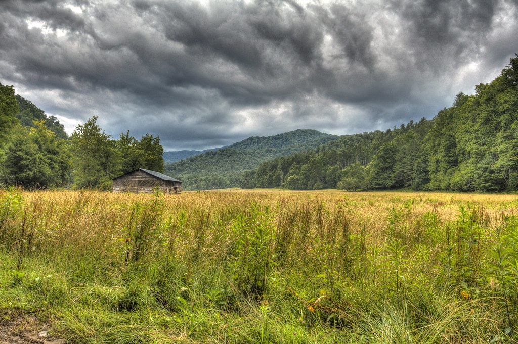
Cataloochee Field
Golden Pasture
Max Patch 01
Topographic Map of 18 Antler Trail, Clyde, NC, USA
Find elevation by address:

Places near 18 Antler Trail, Clyde, NC, USA:
151 Antler Trail
Indian Springs Road
Mountain Mission Road
888 Rustic Heights Rd
Fog Hollow Cove
135 Southern Way
1762 Bobcat Rd
630 Rustic Heights Rd
3898 Fines Creek Rd
344 Timberlane Dr
496 Rosalee Rd
145 Martins Creek Rd
186 Martins Creek Rd
775 Doc Graham Rd
Saranac Lane
320 Piney Ridge Rd
225 Cherry Berry Dr
154 Cherry Berry Dr
362 Grand Oak Trail
360 Grand Oak Trail
Recent Searches:
- Elevation of Corso Fratelli Cairoli, 35, Macerata MC, Italy
- Elevation of Tallevast Rd, Sarasota, FL, USA
- Elevation of 4th St E, Sonoma, CA, USA
- Elevation of Black Hollow Rd, Pennsdale, PA, USA
- Elevation of Oakland Ave, Williamsport, PA, USA
- Elevation of Pedrógão Grande, Portugal
- Elevation of Klee Dr, Martinsburg, WV, USA
- Elevation of Via Roma, Pieranica CR, Italy
- Elevation of Tavkvetili Mountain, Georgia
- Elevation of Hartfords Bluff Cir, Mt Pleasant, SC, USA