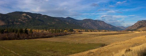
Elevation of 17 River Rock Rd, Winthrop, WA, USA
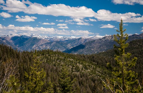
Location: United States > Washington > Winthrop >

Longitude: -120.18751

Latitude: 48.492807

Elevation: 562m / 1844feet

Barometric Pressure: 95KPa

Elevation Map:

elevation map of 17 River Rock Rd, Winthrop, WA, USA
Satellite Map:

Satellite map of 17 River Rock Rd, Winthrop, WA, USA
Related Photos:

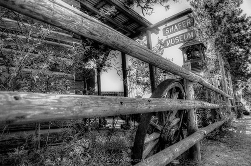
old blackandwhite museum vintage ancient treasure methowvalley shafermuseum
Shafer Museum
panorama rural
View Outside the Abby Creek Hotel
Methow Valley
Sun Mountain Lodge
pictures panorama copyright fish eye photoshop lens photography photo washington nikon angle image photos pics pano c wide panoramas 360 pic images stephen fisheye 180 projection photographs photograph virtual reality wa d200 interactive stereograph 35 8mm panos vr f35 stereographic vangorkum
Winthrop Lodge
Sun Mountain Lodge
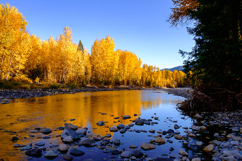
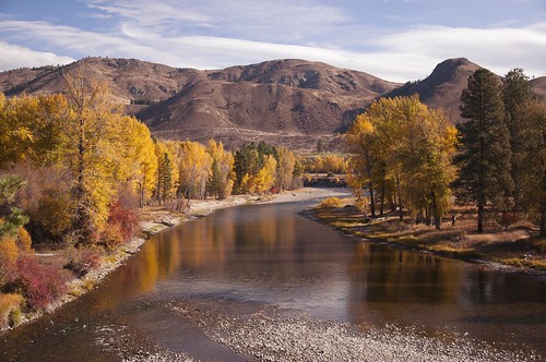
methowcommunitytrail winthrop washington unitedstates us methowriver landscape trinterphotos autumn fall cottonwoods reflection
Methow River
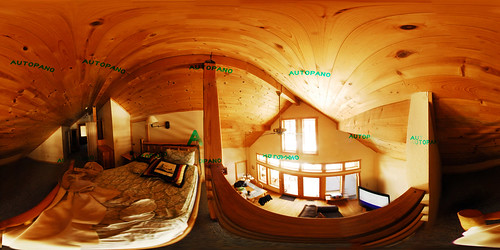
pictures panorama copyright fish eye photoshop lens photography photo washington nikon angle image photos pics pano c wide panoramas 360 pic images stephen fisheye 180 projection photographs photograph virtual reality wa d200 interactive stereograph 35 8mm panos vr f35 stereographic vangorkum
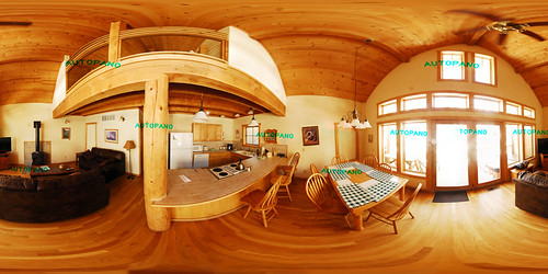
Cabin Loft
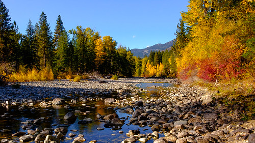
methowcommunitytrail winthrop washington unitedstates us methowriver landscape trinterphotos autumn fall cottonwoods mazama
Methow River
View from Grizzly Hut
birds washington bufflehead beaverpond sunmountain
Unidentified duck - view 1
pictures panorama copyright fish eye photoshop lens photography photo washington nikon view angle image photos pics pano winthrop c wide panoramas 360 pic images stephen fisheye 180 projection photographs photograph virtual reality wa d200 interactive stereograph 35 8mm panos vr f35 stereographic vangorkum
Winthrop View
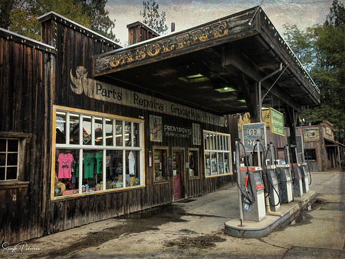
winthrop washington washingtonstate stateofwashington centralwashington westerntown westerntheme oldbuilding weathered town gasolinepumps gasoline pumps heritage winthropmotors gasstation store riversidedrive placestovisit townofwinthrop garage groceries
Winthrop Motors - Winthrop
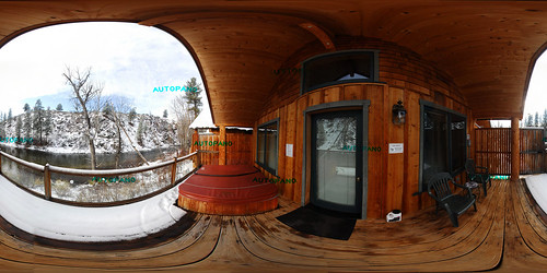
pictures panorama copyright fish eye photoshop lens photography photo washington cabin nikon angle image photos pics pano winthrop c wide panoramas 360 pic images stephen fisheye 180 projection photographs photograph virtual reality wa d200 interactive stereograph 35 8mm panos vr f35 stereographic vangorkum
Winthrop Cabin
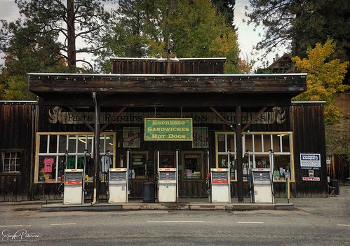
winthrop washington washingtonstate stateofwashington centralwashington westerntown westerntheme oldbuilding weathered town gasolinepumps gasoline pumps heritage winthropmotors gasstation store riversidedrive placestovisit townofwinthrop garage groceries
Winthrop Motors - Winthrop
view
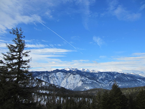
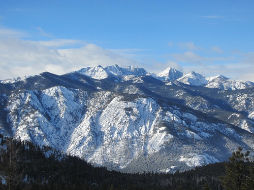
View from Rendezvous Hut, bluer skies
view
View from Rendezvous Hut, closeup 2
washington nikon antique metallic winthrop benches d90 nikkor18105mmafsdxf3556gedvr riesepix
take a load off...
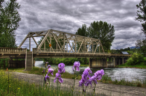
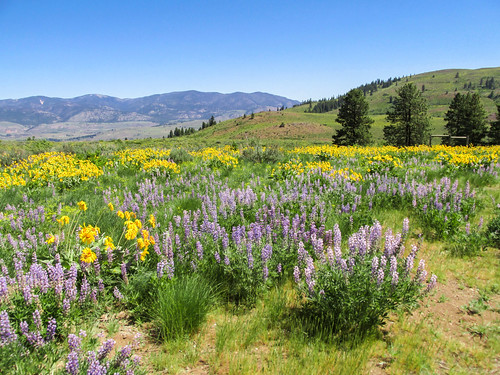
bridge flower water clouds river photo washington image winthrop picture overcast washingtonstate wildflower bridging truss 201006 okanogancounty bridgepixing bridgepix methowriver
Methow River Bridge
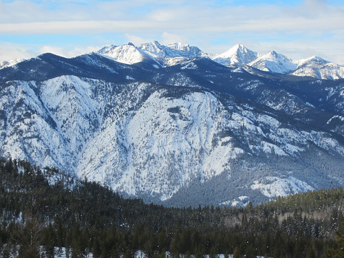
view
View from Rendezvous Hut, closeup
2005 sunset vacation mountains geotagged dusk winthrop cascades layer layers 20050826 200508 comments commented ridgelines sunmountainlodge geolat48477587 geolon120256433
Sunset in the Cascades
washington winthrop campgrounds pearryginlake pearryginlakestatepark
Pearrygin Lake
methow sunmountain
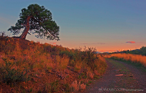
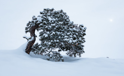
Methow Pine
20180203-P2030562
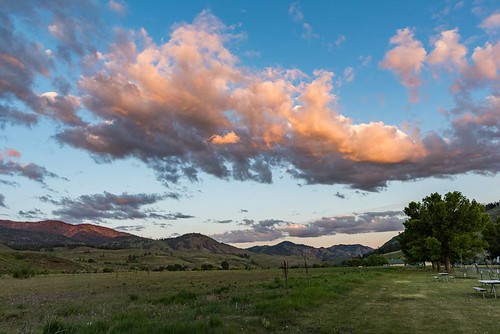
trees fall nature clouds meadows hills fields blueskies grassland topaz fenceposts sunnyweather pastureland openland northcentralwashington winthropwa sceniclandscapes topazfilter westernfarms photographybydanastyber olympusem1 bluffsabovewinthrop
P9300033.sm
lake lakeperrygin lakeperryginstatepark northamerica originalphotographers pacificnorthwest photooftheday photographersontumblr photography statepark summer unitedstates usa washington washingtonstate water winthtop
Lake Perrygin, Washington, 2017
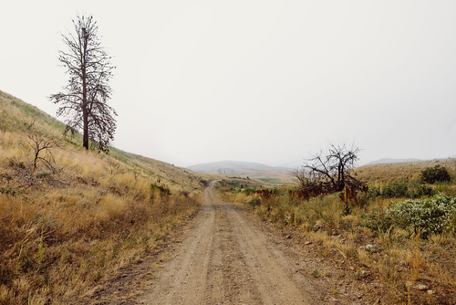
drive gravel okanogancounty road rural washington winthrop unitedstates us
Everybody Knows This Is Nowhere
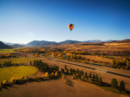
hotairballoon balloon hot air landing runway airport winthrop methowvalley aircraft adventure adventuretravel autumn fall airstrip colorful drone dji aerial field landscape rural country edmundlowephotography edmundlowe sunrise dawn morning washington pacificnorthwest washingtonstate america usa allmyphotographsare©copyrightedandallrightsreservednoneofthesephotosmaybereproducedandorusedinanyformofpublicationprintortheinternetwithoutmywrittenpermission
Hot Air Balloon Coming In For a Landing.
mountain fall sunrise deer sunmountainlodge
Fall Mountain Sunrise
campground clouds karl mountains sunset travel washington grass winthrop unitedstates
Pearygin Lake Campground
IMG_1962.jpg
Fall Colors on the Methow
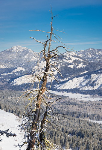
methow sunmountain
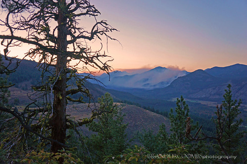
a snag overlooking the Methow
sunset sky sunlight lake reflection nature landscape outdoors evening washington dusk winthrop scenic calm pacificnorthwest tranquilscene colorfulsunset methowvalley ruralscene okanogancounty northcentralwashington bigtwinlake
Methow Valley Sunset
winthrop washington unitedstates firelookout okanoganwenatcheenationalforest easternwashington
First Butte Fire Lookout, Okanogan National Forest
_DSC2600.jpg
Early morning river of fog
methow
methow valley
leica longexposure blue sunset sky moon mountain mountains skyline night rural forest skyscape stars landscape evening washington twilight darkness nightshot winthrop horizon north peak wideangle explore nighttime cascades moonlight nightsky eveningsky washingtonstate 169 methow dlux northcascades horizons darknight bluest leicadlux methowvalley moonandstars sunmountain dlux3 moonstars leicadigital leicadlux3
moon and stars in the north cascades
winthrop washington unitedstates firelookout okanoganwenatcheenationalforest easternwashington
First Butte Fire Lookout, Okanogan National Forest
Tree mountain snow sky mountainside landscape
us washington unitedstates winthrop
IMG_9983-Pano.jpg