Elevation of 17 Boronia Dr, Grassy TAS, Australia
Location: Australia > Tasmania > King Island Council > Grassy >
Longitude: 144.063056
Latitude: -40.047313
Elevation: 110m / 361feet
Barometric Pressure: 100KPa
Elevation Map:
Satellite Map:
Related Photos:

7706C-17

7706C-16

lunch invitation

7706C-26

small lagoon at pearshape
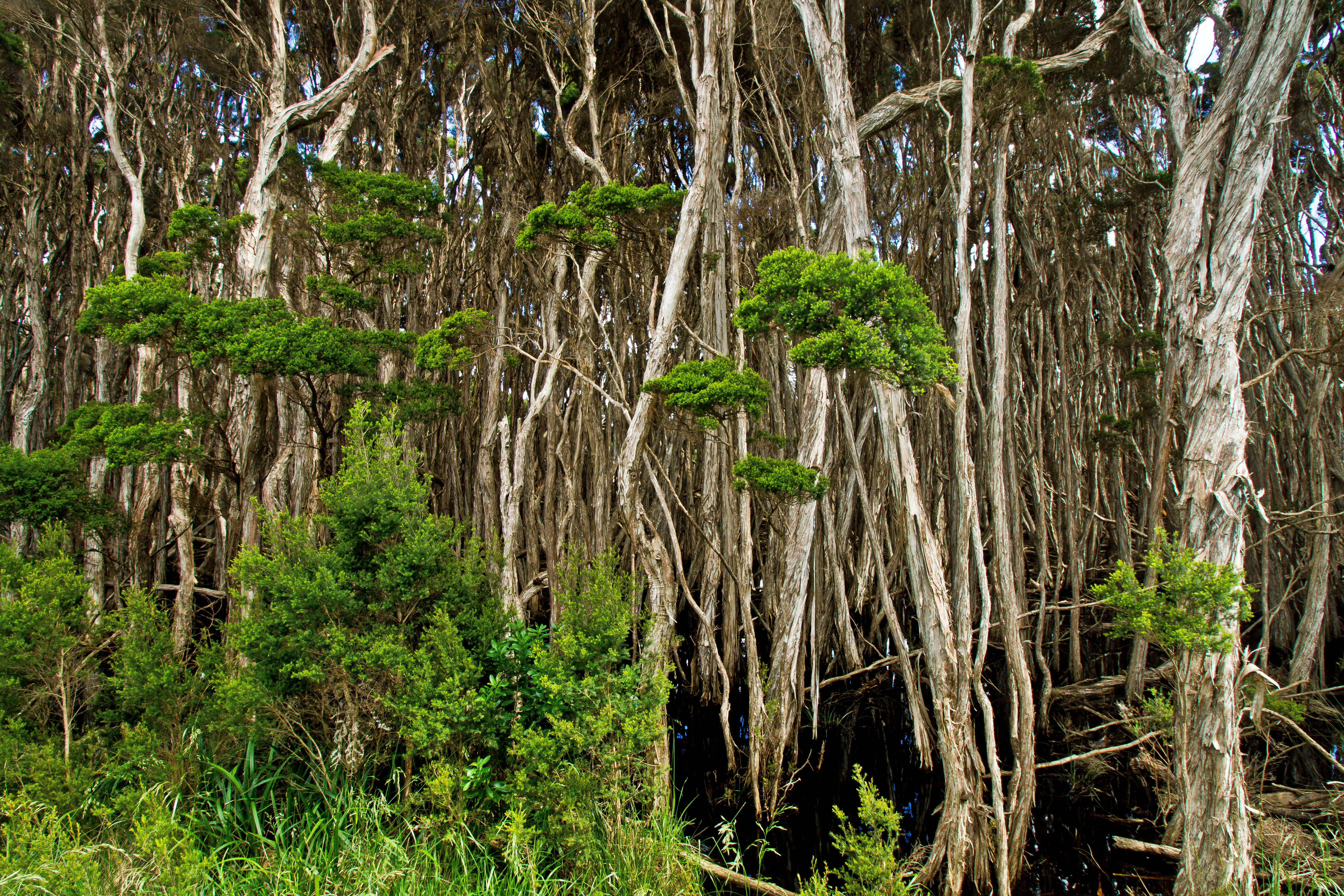
melaluca forest

sheelite mine overlook

Red-necked (Bennett's) Wallaby mob

Grassy, King Island

20140807_170220_Waratah St

Bass Strait, Grassy

Grassy shore
Topographic Map of 17 Boronia Dr, Grassy TAS, Australia
Find elevation by address:

Places near 17 Boronia Dr, Grassy TAS, Australia:
Wild Harvest Restaurant
2866 Grassy Rd
2866 Grassy Rd
2866 Grassy Rd
Grassy Harbour Supermarket
Grassy
348 Pegarah Rd
Pegarah
King Island Council
Reekara Road
Recent Searches:
- Elevation of Corso Fratelli Cairoli, 35, Macerata MC, Italy
- Elevation of Tallevast Rd, Sarasota, FL, USA
- Elevation of 4th St E, Sonoma, CA, USA
- Elevation of Black Hollow Rd, Pennsdale, PA, USA
- Elevation of Oakland Ave, Williamsport, PA, USA
- Elevation of Pedrógão Grande, Portugal
- Elevation of Klee Dr, Martinsburg, WV, USA
- Elevation of Via Roma, Pieranica CR, Italy
- Elevation of Tavkvetili Mountain, Georgia
- Elevation of Hartfords Bluff Cir, Mt Pleasant, SC, USA