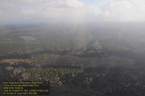
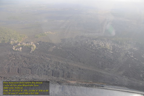
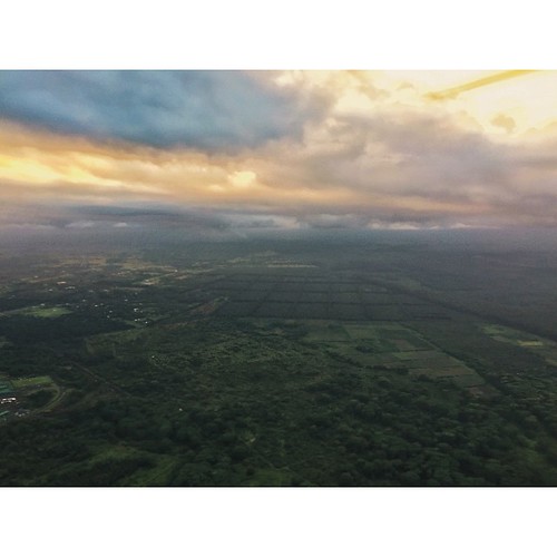
Elevation of 16 Pulelehua Rd, Keaau, HI, USA
Location: United States > Hawaii > Hawaii County > Keaau >
Longitude: -155.03260
Latitude: 19.5564379
Elevation: 218m / 715feet
Barometric Pressure: 99KPa
Related Photos:
Topographic Map of 16 Pulelehua Rd, Keaau, HI, USA
Find elevation by address:

Places near 16 Pulelehua Rd, Keaau, HI, USA:
16-1466 40th Ave
16-484 Laniuma St
161356 39th Ave #18
39th Avenue
16-356
Orchidlands Estates
16-345 Melekule St
16-413 Napua St
16-299 Pohaku Dr
Mapuana Street
Mapuana Street
16-1572 37th Ave
161572 37th Ave
161572 37th Ave
161572 37th Ave
16-1385 36th Ave
16-1578 36th Ave
16-1634 36th Ave
16-1520 35th Ave
161394 Pohaku Cir
Recent Searches:
- Elevation of Corso Fratelli Cairoli, 35, Macerata MC, Italy
- Elevation of Tallevast Rd, Sarasota, FL, USA
- Elevation of 4th St E, Sonoma, CA, USA
- Elevation of Black Hollow Rd, Pennsdale, PA, USA
- Elevation of Oakland Ave, Williamsport, PA, USA
- Elevation of Pedrógão Grande, Portugal
- Elevation of Klee Dr, Martinsburg, WV, USA
- Elevation of Via Roma, Pieranica CR, Italy
- Elevation of Tavkvetili Mountain, Georgia
- Elevation of Hartfords Bluff Cir, Mt Pleasant, SC, USA
