Elevation of 16 Ngareta St, Marton, New Zealand

Location: New Zealand > Manawatu-wanganui > Marton >

Longitude: 175.384854

Latitude: -40.079166

Elevation: 144m / 472feet

Barometric Pressure: 100KPa

Elevation Map:

elevation map of 16 Ngareta St, Marton, New Zealand

Satellite Map:

Satellite map of 16 Ngareta St, Marton, New Zealand

Related Photos:

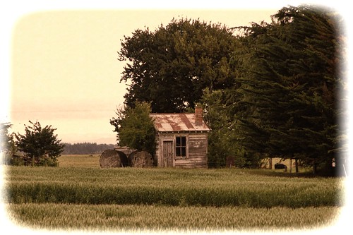
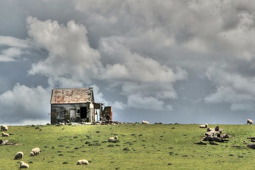
old newzealand house abandoned home rural cabin decay farm bulls hut shack derelict dilapidated sh1 deterioration manawatu oldandbeautiful greatford oncewashome
Old cabin, SH1, Greatford (Near Bulls), Manawatu, New Zealand.
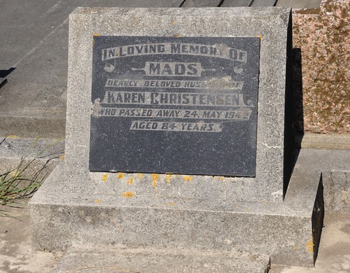
newzealand mountain cemetery moss view headstone great nz his christensen mads marton gave removed
Mads Christensen headstone Marton
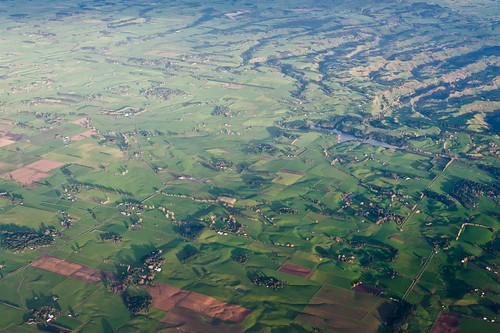
inflight auckland
View from the air
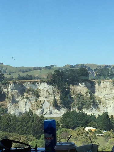
Views from the observation deck of the train to Wellington
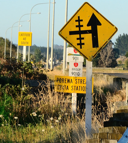
signs 40th parallel 40south porewa 40latitude
40th Parallel
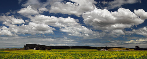
new blue sky cloud sun white flower nature beauty yellow rural forest season landscape island countryside spring nikon scenery day stitch cloudy farm hill north sunny farmland zealand d200 region wanganui whanganui manawatu kurdulija
Spring Is … When All the Flowers Join the Choir
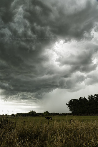
newzealand sky storm rain animals clouds landscape lluvia cows chuva paisaje paisagem céu cielo nubes nuvens animales pastures animais grasslands 2012 vacas novazelândia tempestade nuevazelanda tempestad pastizales pastagens
Turakina, Manawatu-Wanganui, New Zealand, Dec 2012
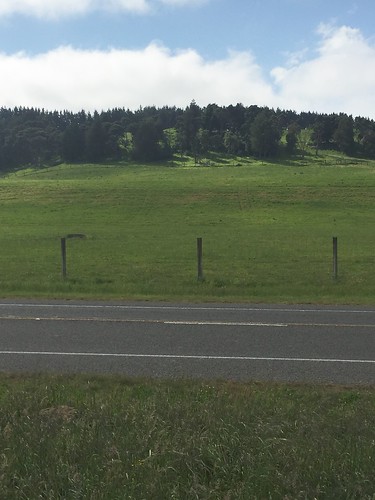
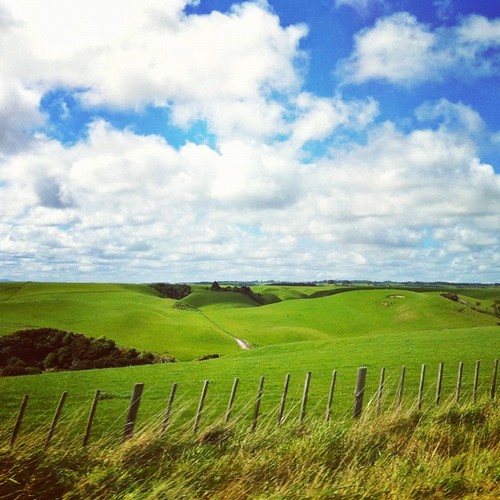
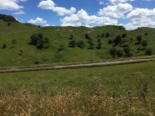
newzealand sky green grass square landscape squareformat fields hudson iphoneography instagramapp uploaded:by=instagram foursquare:venue=4c9287406cfea093bb78b28b
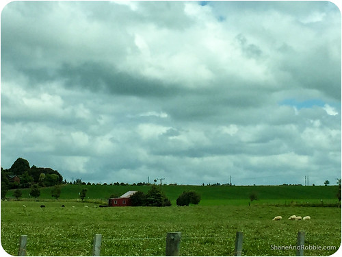
Between Marton and Turakina
road face landscape geotagged papa northisland maori tiki manawatu papatuanuku rangitikei māori canonefs1785mmf456isusm 1785mmf456isusm geo:lat=39989435 geo:lon=175363485
obscure Tiki
old newzealand house storm building abandoned home clouds century rural cabin rust ruins sheep decay farm cottage bulls historic shack wreck derelict dilapidated 19th marton sh1 deterioration manawatu oldandbeautiful oncewashome
Old house, SH1, North Bulls, Manawatu, New Zealand
Turakina Valley
newzealand forest landscape whanganui teararoa thelongpathway
Dawn illuminating the way
Train Journey - 25
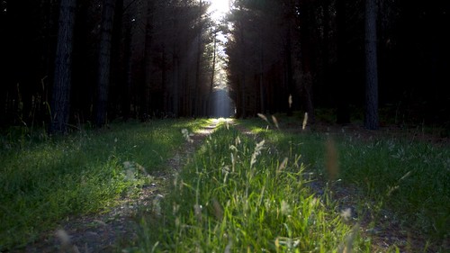
newzealand forest walking cookie nicky whanganui teararoa thelongpathway
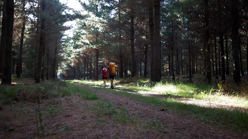
Following jeep tracks through the forest
newzealand ohakea manawatuwanganui
RNZAF 75th Anniversary Airshow-57
landscape geotagged farm shed manawatu rangitikei canonef50mmf18ii 新西兰 geo:lat=400767 geo:lon=175338425
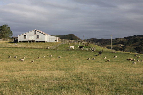
Ram - weather
geotagged geo:lat=39962546 geo:lon=175465433
near Mt Curl
photo (1)
Train Journey - 21
75th Anniversary Show New Zealand Air Force Ohakea
horse equestrian horseback horseriding trailriding trailride ctr watrc wellingtonareatrailridingclub competitivetrailriding sporthorse turakina equestriansport february2011 competitivetrailride turakina2011
IMG_EOS 50D201102279326
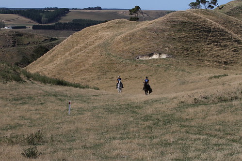
horse equestrian horseback horseriding trailriding trailride ctr watrc wellingtonareatrailridingclub competitivetrailriding sporthorse turakina equestriansport january2013 competitivetrailride turakina2013 turakinajanuary2013
IMG_EOS 7D201301270862
travel newzealand marton manawatuwanganui
2014-12-29-20141229(iPhone 6)-00038