Elevation of 16 Le Bourg, Ernes, France

Location: France > Normandy > Calvados > Ernes >

Longitude: -0.1245014

Latitude: 49.0171304

Elevation: 40m / 131feet

Barometric Pressure: 101KPa

Elevation Map:

elevation map of 16 Le Bourg, Ernes, France

Satellite Map:

Satellite map of 16 Le Bourg, Ernes, France

Related Photos:

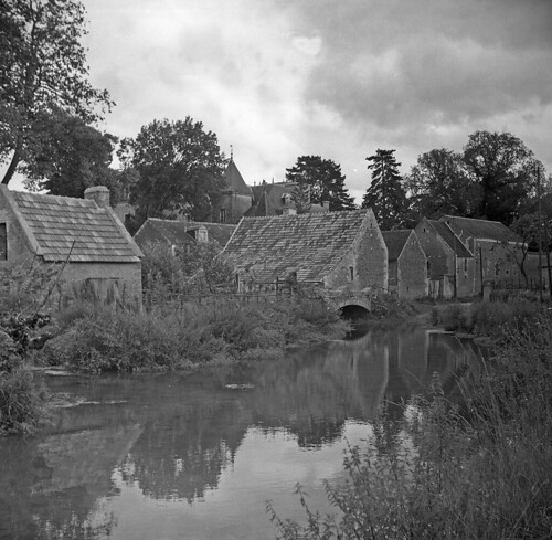
school france ww2 normandy dday 1950 billet millstream fwjefferies
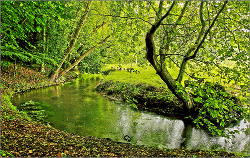
The river Liason, Ouezy
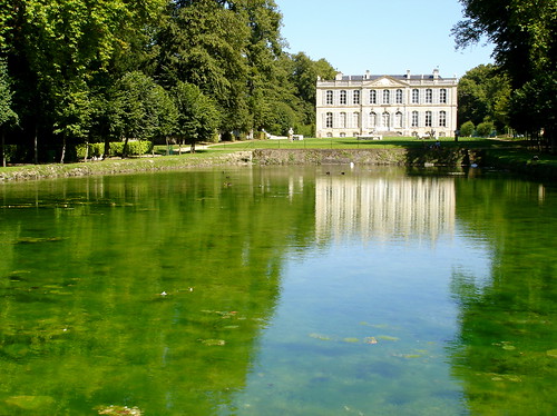
park france green castle geotagged mirror europe 14 vert normandie miroir normandy château parc paysdauge calvados 18thcentury 18esiècle concordians châteaudecanon abovealltherest michelemp geo:lat=49078645 geo:lon=0097107
Derrière le miroir…
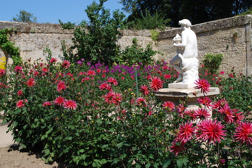
dahlia france colors statue garden geotagged soleil europe colours couleurs jardin sunny normandie inspire normandy paysdauge calvados dahlias blueribbonwinner chartreuses mézidoncanon châteaudecanon michelemp geo:lat=49079701 geo:lon=0094288
En plein soleil
panorama lake water landscape falaise normany
Falaise, Baisse-Normandie - 9 shot panorama
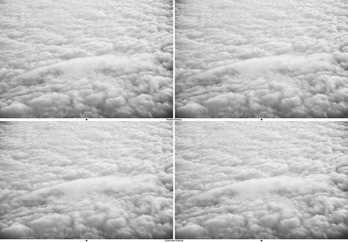
france clouds 3d cross stereo eyed 93793499n00 turkeyvacation
3D Clouds Over France
building gate falaise normany portedescordeliers
Porte des Cordeliers, Falaise
france lowernormandy
Chateau de Crevecoeur: Manor View
bretagne falaise
la falaise-img_5238
normandie chateau normandy falaise calvados williamtheconqueror guillaumeleconquérant ruisseau
Castle view
cycling normandy falaise caen normandybeaches
IMG_9508 View over Falaise from the Chateau
coteaudemesnilsoleil mesnilsoleil
View from Coteau de Mesnil-Soleil
castle william keep guillaume normandy falaise conqueror donjon conquerant
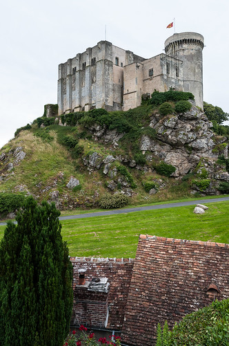
Falaise Castle
view of Falaise from Château
automne
_3X64319.jpg
autumn red leaves creek
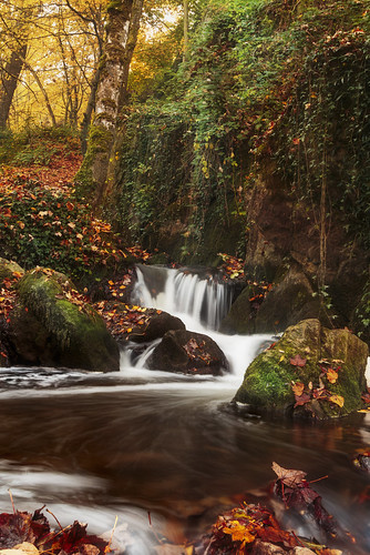
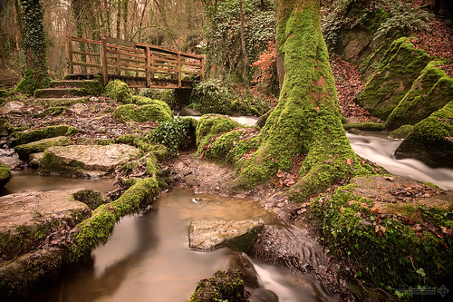
La Brèche au Diable #2
kap calvados caen kiteaerialphotography plaine moisson colza photographieaérienneparcerfvolant saintsylvain
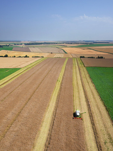
La moisson à Saint-Sylvain (Calvados-FR)
mine francois kap calvados kiteaerialphotography fer saintgermainlevasson photographieaérienneparcerfvolant francoislevalet françoislevalet levalet carreaudesfontaines foursàgriller mémoiresdefer
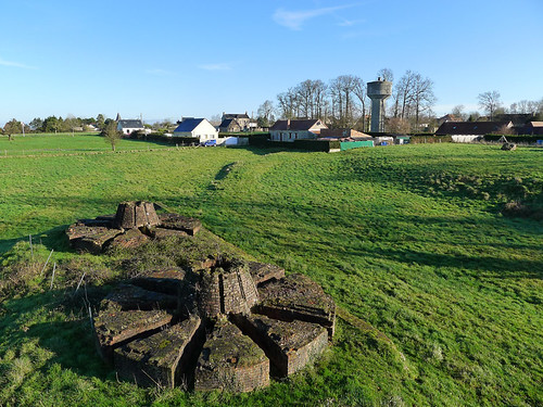
Fours à griller de la Fontaine à Saint-Germain-le-vasson (Calvados-FR)
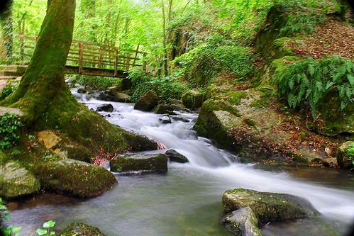
longexposure water canon riviere file pont normandie foret calvados 6d 24105 poselongue casade bw110 soumontsaintquentin brècheaudiable
La brèche au diable II
sky lake france tree green water wall clouds nikon fort hill wwii normandie frankrijk nikkor chateau normandy falaise château kasteel burcht normandië d5000 châteaudefalaise nikond5000
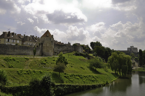
Falaise - Normandy, France
longexposure canon normandie cascade foret calvados 6d 24105 soumontsaintquentin brècheaudiable
La brêche au diable I
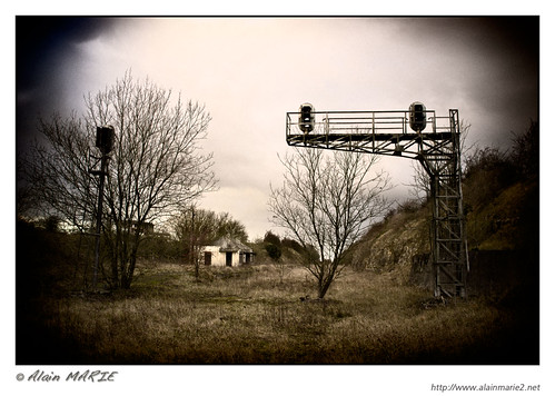
Ancienne voie ferrée - Gouvix
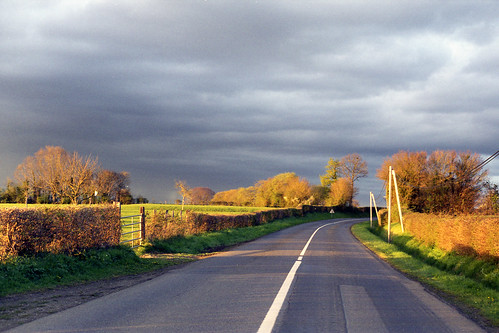
france color film analog 50mm normandie couleur argentique canonftb canonfd50mmf18sc fujifilmpro160c
Sur la route du retour…
La brèche au Diable 2
france falaise bassenormandie
Château de Falaise
champs
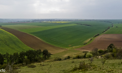
Champs, un jour de pluie (14/04/2012)
voyage trip summer france windmill field french countryside august normandie campagne normandy français calvados champ août normand basse ravel française eté eolienne bassenormandie normande 2013 marielaureeven
Mézidon-Canon, Calvados, France.
normandie kap château calvados kiteaerialphotography cingal gouvix laize photographieaérienneparcerfvolant outrelaise outrelaize
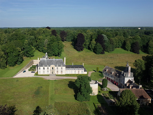
Château d'Outrelaize à Gouvix (Calvados-FR)
en france de notredame cathédrale falaise calvados bayeux américain saintpierre bassenormandie chartreuses saintgabriel mézidoncanon châteaudecanon brécy châteaudefalaise chateaudevendeuvre églisesaintetrinitédetouslessaints bayeuxtapisseriearromanchesbatterie longuessurmerportenbessincimetière collevillesurmercaenéglise caenchâteau caenguillaumeleconquérantchâteau fontainehenryprieuré
Cours d'eau dans les jardins du château Canon
falaise france normandy excursion
Falaise, Normandy, France
france gardens garden de topiary lawn jardin normandie normandy château jardins vendeuvre
Château de Vendeuvre
france gardens garden de jardin normandie normandy château jardins vendeuvre
Château de Vendeuvre
paysage magnylacampagne
166- dec 2012 011