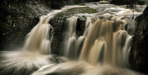
Elevation of 16 Hill Dr, Kyneton VIC, Australia

Location: Australia > Victoria > Macedon Ranges Shire > Kyneton >

Longitude: 144.449526

Latitude: -37.263576

Elevation: 523m / 1716feet

Barometric Pressure: 95KPa

Elevation Map:

elevation map of 16 Hill Dr, Kyneton VIC, Australia

Satellite Map:

Satellite map of 16 Hill Dr, Kyneton VIC, Australia

Related Photos:

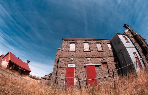
hdrfisheye
The Hospital 2
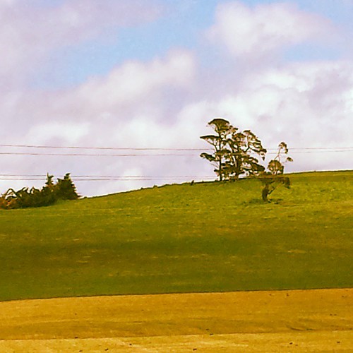
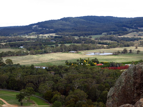
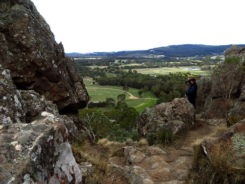
autumn landscape victoria views hangingrock
Views from Hanging Rock
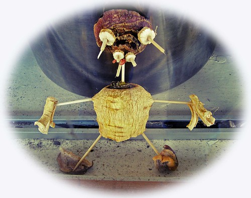
man mushrooms weird scary crossprocessed australia victoria toothpicks ugly figure shopwindow dried vignette parsnip cwa throughglass kyneton canona710 coffeeshopaction
Parsnip Pete!
abstract tree art sony australia victoria bark eucalyptus gumtree icm kyneton 2875f28 a850 intentionalcameramovement dirkwallace kynetonbushresort
On The Path
longexposure sunset lake abstract blur reflection tree art water sony australia bluesky victoria icm kyneton 2875f28 2013 a850 intentionalcameramovement dirkwallace kynetonbushresort
Sunset On The Lake
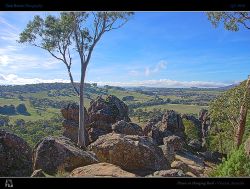
morning winter film rock geotagged book rocks view australia victoria 1975 vista novel 1968 gumtree hdr hangingrock seminal picnicathangingrock volcanicrocks joanlindsay tomraven aravenimage peterwier q32010 geo:lat=37329901 geo:lon=144594669
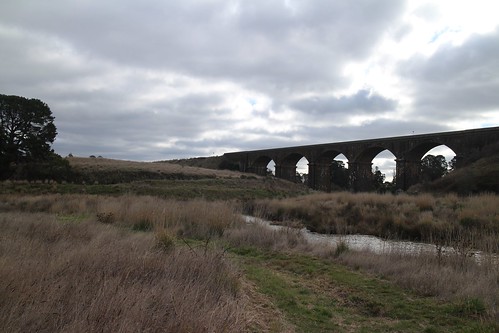
Picnic At Hanging Rock
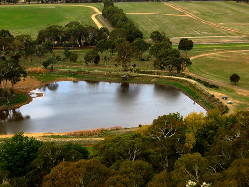
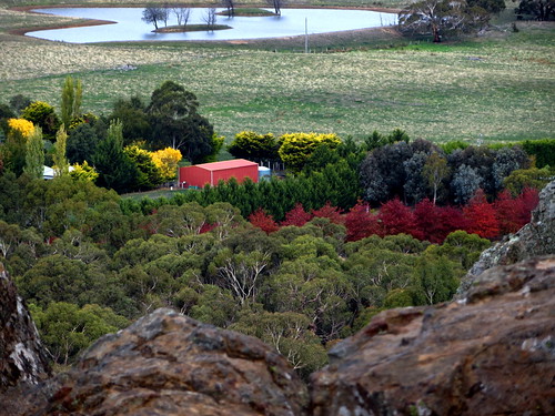
autumn trees landscape dam views hangingrock
Views from Hanging Rock
abstract blur tree art sony australia bluesky victoria icm kyneton 2875f28 2013 a850 intentionalcameramovement dirkwallace kynetonbushresort
Abstract Trees
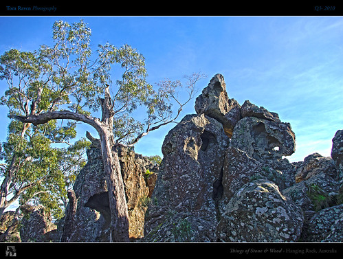
wood sky tree rock stone mystery geotagged rocks australia victoria eucalyptus hdr hangingrock picnicathangingrock fbdg thingsofstoneandwood tomraven updatecollection aravenimage q32010 geo:lat=37327655 geo:lon=144594968
Things of Stone and Wood
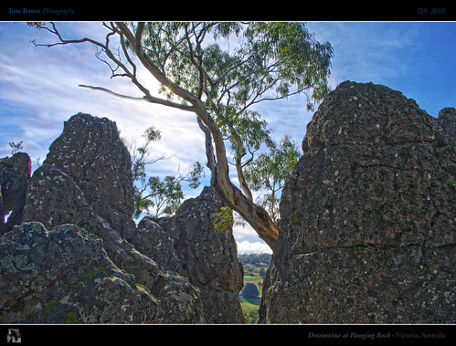
light sky sun tree rock mystery geotagged rocks magic australia victoria aboriginal creature hdr hangingrock mtdiogenes tomraven aravenimage q32010 geo:lat=37330447 geo:lon=144594841
Dreamtime at Hanging Rock
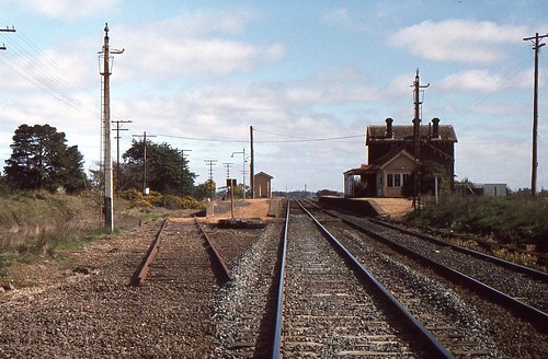
Carlsruhe station in 1981.
autumn landscape views hangingrock
Views from Hanging Rock
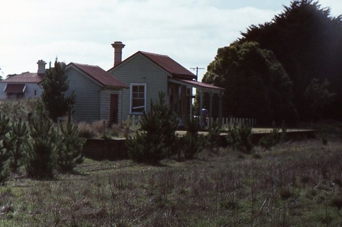
Fern Hill station.
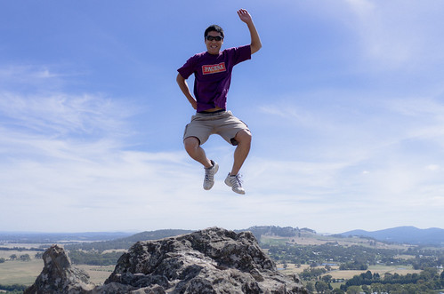
blue sky rock jump hangingrock dancingdave davidtran dtra
Jigging at Hanging Rock
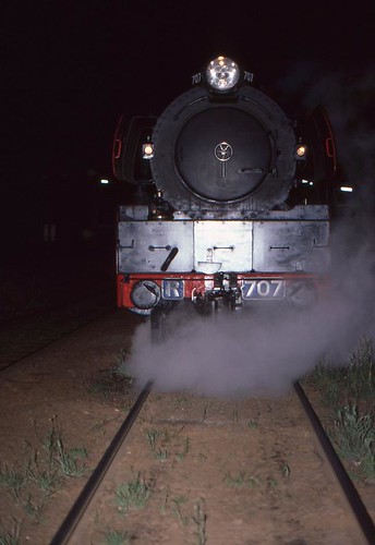
Head-on view of R-707 at Woodend.
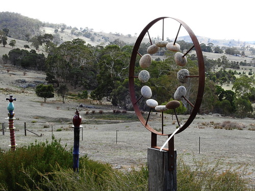
sculpture garden australia victoria suttongrange micagrange
Sculpture at Mica Grange
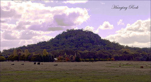
landscape geotagged rocks cattle australia eerie victoria volcanic monoliths hangingrock woodend picnicathangingrock violetfilter teelawn mtdiogenes solvsbergite hesketplains ©tinabarker
Hanging Rock
Departing Taradale loop
nationalpark rocks walk reserve australia victoria lookout hangingrick
Rocks at Hanging Rock
nationalpark rocks walk reserve australia victoria lookout hangingrick
Hanging Rock Rocks
Approaching Malmsbury
australia campingtrip centralvictoria trenthamfalls
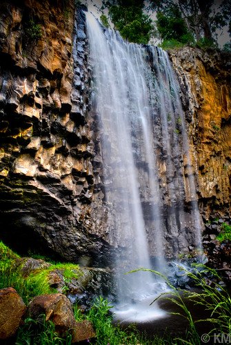
Trentham Falls...
square squareformat iphoneography instagramapp xproii uploaded:by=instagram
The Swamp
travel tree water digital canon geotagged waterfall raw dslr trenthamfalls canoneos5dmarkii canonef70200mmf28lisiiusm
IMG_8851(Flickr)
leica art marilynmonroe au australia victoria bendigo malmsbury
Malmsbury Sunset-14
travel tree digital canon geotagged raw dslr trenthamfalls canoneos5dmarkii canonef70200mmf28lisiiusm
IMG_8855(Flickr)
farming victoria sustainable
2013-05-04 11.59.02
hdrpanorama tpslandscape
The Little Chapel.
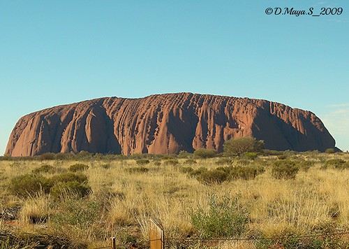
culture australia uluru touristattraction ayersrock redearthtour
The Amazing Uluru
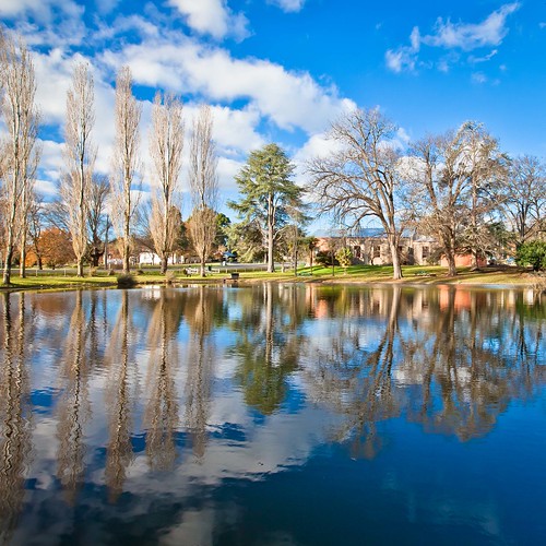
trip winter reflection landscape australia malmsburybotanicalgarden
Malmsbury Botanical Garden
hangingrock
Hanging Rock (9)
Trentham Falls - Tallest Falls in Victoria
leica art marilynmonroe au australia victoria bendigo malmsbury
Malmsbury Sunset-21
Us at Trentham Falls
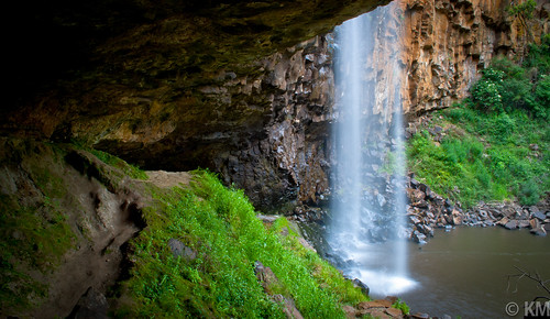
Trentham Falls - Behind the Falls
Supporting act
fall water river waterfall australia victoria vic langley campaspe barfoldgorge turpinsfalls barfoldvictoria 155shillidaysroad
Turpies Falls
square squareformat lordkelvin iphoneography instagramapp uploaded:by=instagram foursquare:venue=4d9011b7788c548112625dfd
Another roadtrip...on my way to #bendigo again. Always amazed by this country's changing #landscape...
malmsbury
It's a Viaduct!