Elevation of 16- 8 Rd, Kurtistown, HI, USA
Location: United States > Hawaii > Hawaii County > Keaau >

Longitude: -155.05626

Latitude: 19.5659113

Elevation: 255m / 837feet

Barometric Pressure: 98KPa

Elevation Map:

elevation map of 16- 8 Rd, Kurtistown, HI, USA
Satellite Map:

Satellite map of 16- 8 Rd, Kurtistown, HI, USA
Related Photos:

volcano pahoa aerialphoto kilauea lavaflow puuoo hawaiibigisland june27thlavaflow
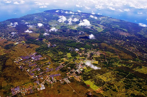
2006: Pahoa and Puna, Hawai'i - In the path of Kilauea Volcano lava
landscape volcano bigisland hawai
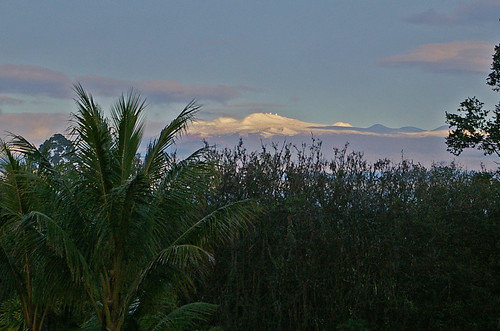
Sunup on a snowy Mauna Kea from Mountain View B&B, Hawaii
geotagged geo:lat=194298166666667 geo:lon=155086976666667
HW7428VF2_4929.JPG
landscape volcano hawaii bigisland
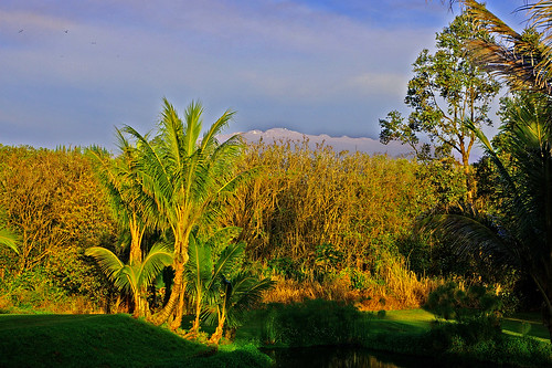
Mauna Kea in early morning light from Mountain View, Hawaii
geotagged geo:lat=196449016666667 geo:lon=155019341666667
HW6981VF2_4482.JPG
hawaii northamerica pacific usa island
Hawaiian Paradise Park
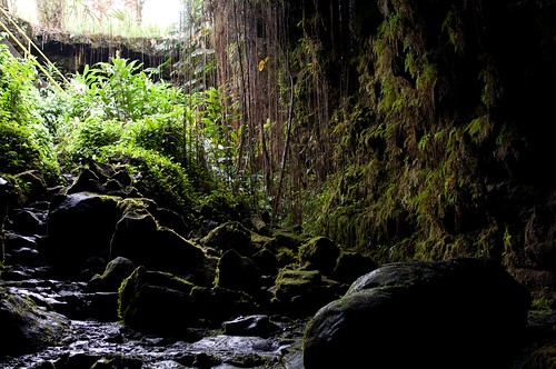
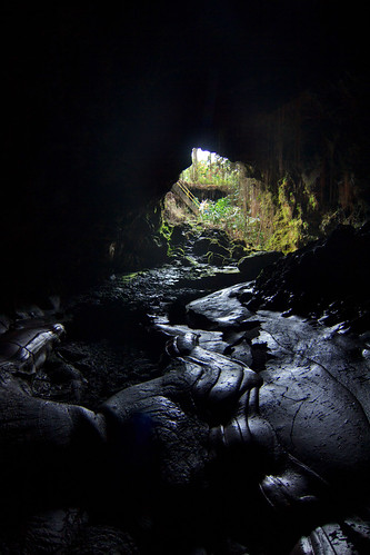
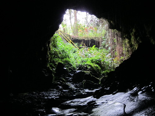
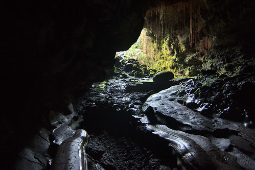
view from inside lava tube
tsunami hawaii hilo
b46d01-221_hhp.tif
geotagged geo:lat=19650585 geo:lon=15502025
HW6979VF2_4480.JPG
vegas mirage
The strip
building architecture temple buddhist bigisland jodo kurtistown
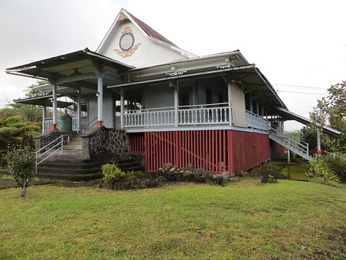
Oblique view, Kurtistown Jōdo Mission
geotagged geo:lat=194241466666667 geo:lon=155057733333333
HW7018VF2_4519.JPG
geotagged geo:lat=194266883333333 geo:lon=155055496666667
HW7017VF2_4518.JPG
geotagged geo:lat=194212533333333 geo:lon=155060326666667
HW7020VF2_4521.JPG
We can pickle that
geotagged geo:lat=196872633333333 geo:lon=155115028333333
HW7493VF2_4994.JPG
hawaii
Hawaiian Highway
geotagged geo:lat=196327633333333 geo:lon=155067628333333
HW7479VF2_4980.JPG
geotagged geo:lat=196635033333333 geo:lon=155081688333333
HW7490VF2_4991.JPG
tsunami hawaii hilo
b46d01-340_hhp.tif
geotagged geo:lat=196757016666667 geo:lon=155022045
HW6973VF2_4474.JPG
square squareformat iphoneography instagramapp uploaded:by=instagram
@ulagram catching a set. Also, it's the last day to enter the #BigNikonosContest for a chance to win a Nikonos IV with a 35mm and 80mm lens. I'll be selecting 10 finalists, @nikonos_project will choose the winner from them tomorrow. Nikon F, Provia 100,
hawaii pahoa hi bigisland hilo puna rainbowfalls socialenterprise htw pahoahawaii instagram appleiphone4s uploaded:by=flickrmobile flickriosapp:filter=nofilter hawaiitechworks hceoc
it’s been a solid 2013; looking forward to an even better 2014 for the #HawaiiTechWorks community
raw urlaub kongress
Hawaii, Big Island - 3
square squareformat iphoneography instagramapp uploaded:by=instagram
⛅️
trees hilo hawaiivolcanoesnp lightbeams clouds sunrise steam aerial hawaii lava rocks pāhoa unitedstates us
God Beams
raw urlaub kongress
Hawaii, Big Island - 2
travel family wedding usa hawaii bigisland 2009
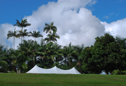
Aloha Wedding Tent
hawaii cave bigisland hilo kaumana
Kaumana Cave
hawaii unitedstates hilo 2013
20130321-IMG_9974
hawaii bigisland
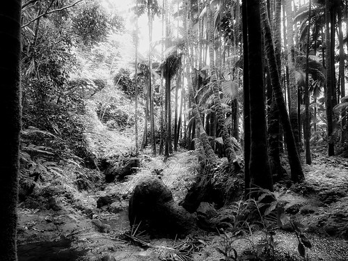
lost in the forest
island hawaii lava big tube cave hilo spelunking kaumana
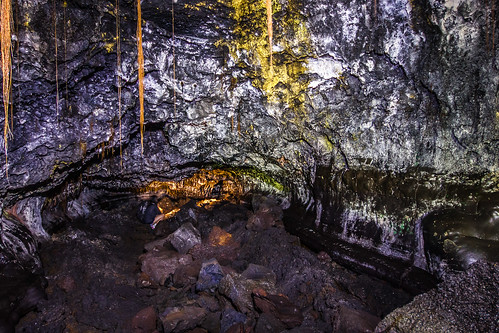
Kaumana Caves hike, February 2013
Near Kea'au
hawaii cave bigisland hilo kaumana
Kaumana Cave
usa island hawaii big pix pics pic jonny hi rueda
Hawaii, HI
ocean sunset clouds geotagged hawaii nikon rocks waves bigisland gps splash 2870mmf28 d700
climactic clouds
square squareformat iphoneography instagramapp uploaded:by=instagram
Oggi mare, domani bungee jumping