Elevation of 15- Poni Moi, Keaau, HI, USA
Location: United States > Hawaii > Hawaii County > Keaau >
Longitude: -155.00415
Latitude: 19.5782339
Elevation: 96m / 315feet
Barometric Pressure: 100KPa
Elevation Map:
Satellite Map:
Related Photos:

2006: Pahoa and Puna, Hawai'i - In the path of Kilauea Volcano lava

Sunup on a snowy Mauna Kea from Mountain View B&B, Hawaii
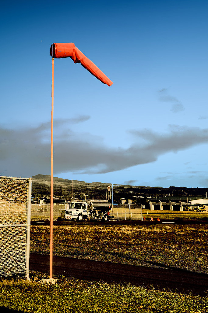
Good Day to Fly

Mauna Kea in early morning light from Mountain View, Hawaii
HW6981VF2_4482.JPG
HW6960VF2_4461.JPG

Hawaiian Paradise Park

b46d01-221_hhp.tif
HW6979VF2_4480.JPG

The strip

HW7681IMG_3540 ITO.JPG
Oblique view, Kurtistown Jōdo Mission

We can pickle that

Hawaiian Highway

HW7479VF2_4980.JPG

HW7490VF2_4991.JPG
b46d01-340_hhp.tif
HW6948VF2_4449.JPG

HW6945VF2_4446.JPG

HW6973VF2_4474.JPG

HW6955VF2_4456.JPG
USA 2008

Aloha Wedding Tent

Black Flood

lost in the forest
it’s been a solid 2013; looking forward to an even better 2014 for the #HawaiiTechWorks community

Leilani Eruption
⛅️

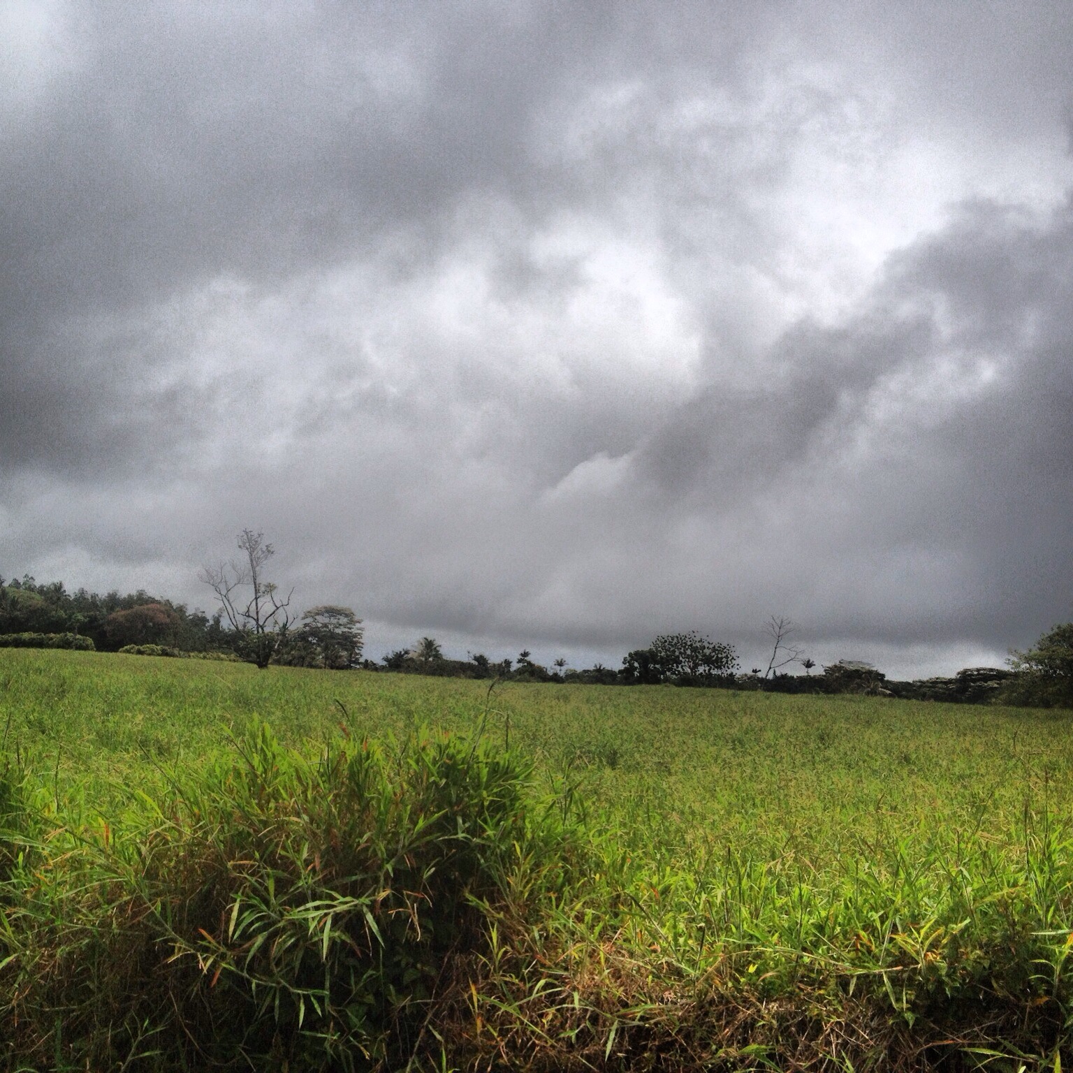
Near Kea'au

Leaving Fissure 8 area

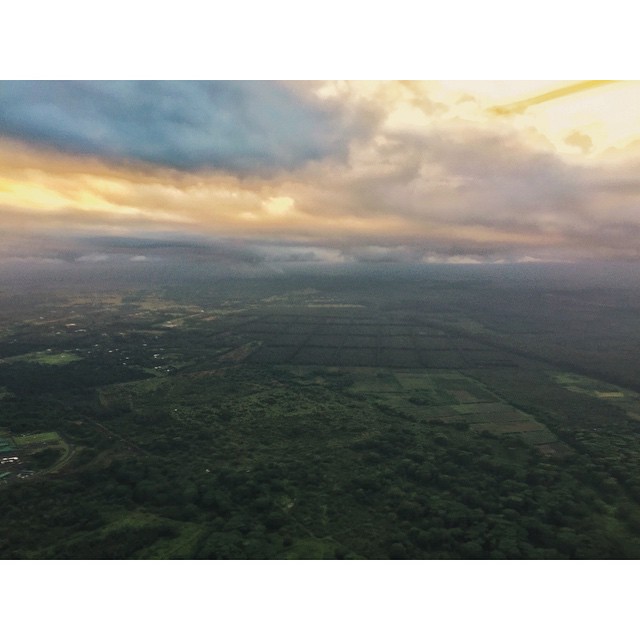
Hilo Area

Hawaii, Big Island - 3

Hawaii, Big Island - 2

Hawaii, HI

climactic clouds

Oggi mare, domani bungee jumping
Topographic Map of 15- Poni Moi, Keaau, HI, USA
Find elevation by address:

Places near 15- Poni Moi, Keaau, HI, USA:
161394 Pohaku Cir
161394 Pohaku Cir
15-1449 Poni Moi
15-1322 26th Ave
15-1501 Keaau-pahoa Rd
16-1385 36th Ave
15 Kaloli Dr
Shower Drive
16-1520 35th Ave
15-1610 31st Ave
16-299 Pohaku Dr
5 Railroad Ave
16-1578 36th Ave
16-345 Melekule St
161572 37th Ave
161572 37th Ave
161572 37th Ave
16-356
16-1572 37th Ave
Orchidlands Estates
Recent Searches:
- Elevation of Corso Fratelli Cairoli, 35, Macerata MC, Italy
- Elevation of Tallevast Rd, Sarasota, FL, USA
- Elevation of 4th St E, Sonoma, CA, USA
- Elevation of Black Hollow Rd, Pennsdale, PA, USA
- Elevation of Oakland Ave, Williamsport, PA, USA
- Elevation of Pedrógão Grande, Portugal
- Elevation of Klee Dr, Martinsburg, WV, USA
- Elevation of Via Roma, Pieranica CR, Italy
- Elevation of Tavkvetili Mountain, Georgia
- Elevation of Hartfords Bluff Cir, Mt Pleasant, SC, USA