Elevation of 15- 11th Ave, Keaau, HI, USA
Location: United States > Hawaii > Hawaii County > Keaau >
Longitude: -154.96515
Latitude: 19.592844
Elevation: 35m / 115feet
Barometric Pressure: 101KPa
Elevation Map:
Satellite Map:
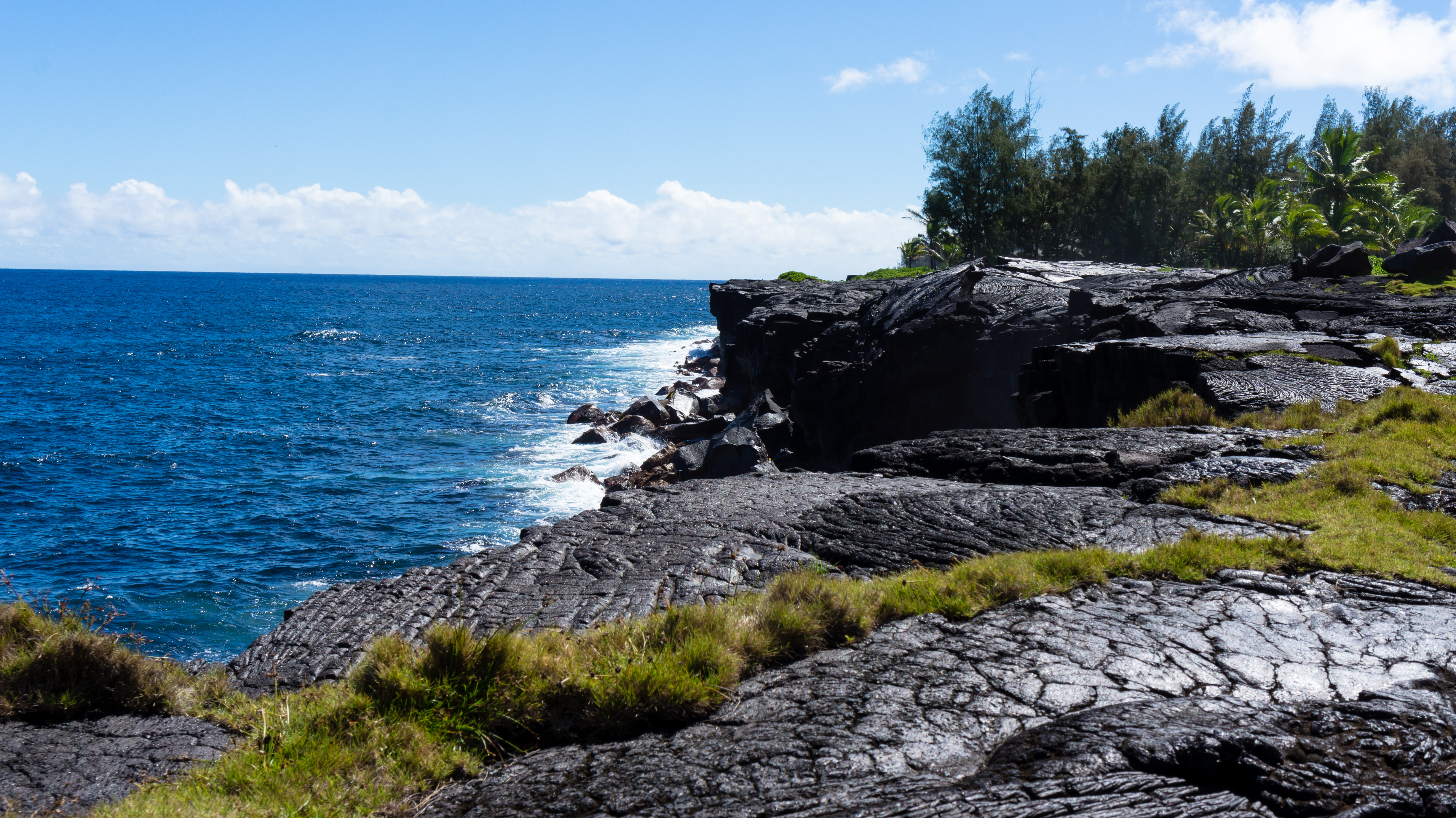
Related Photos:
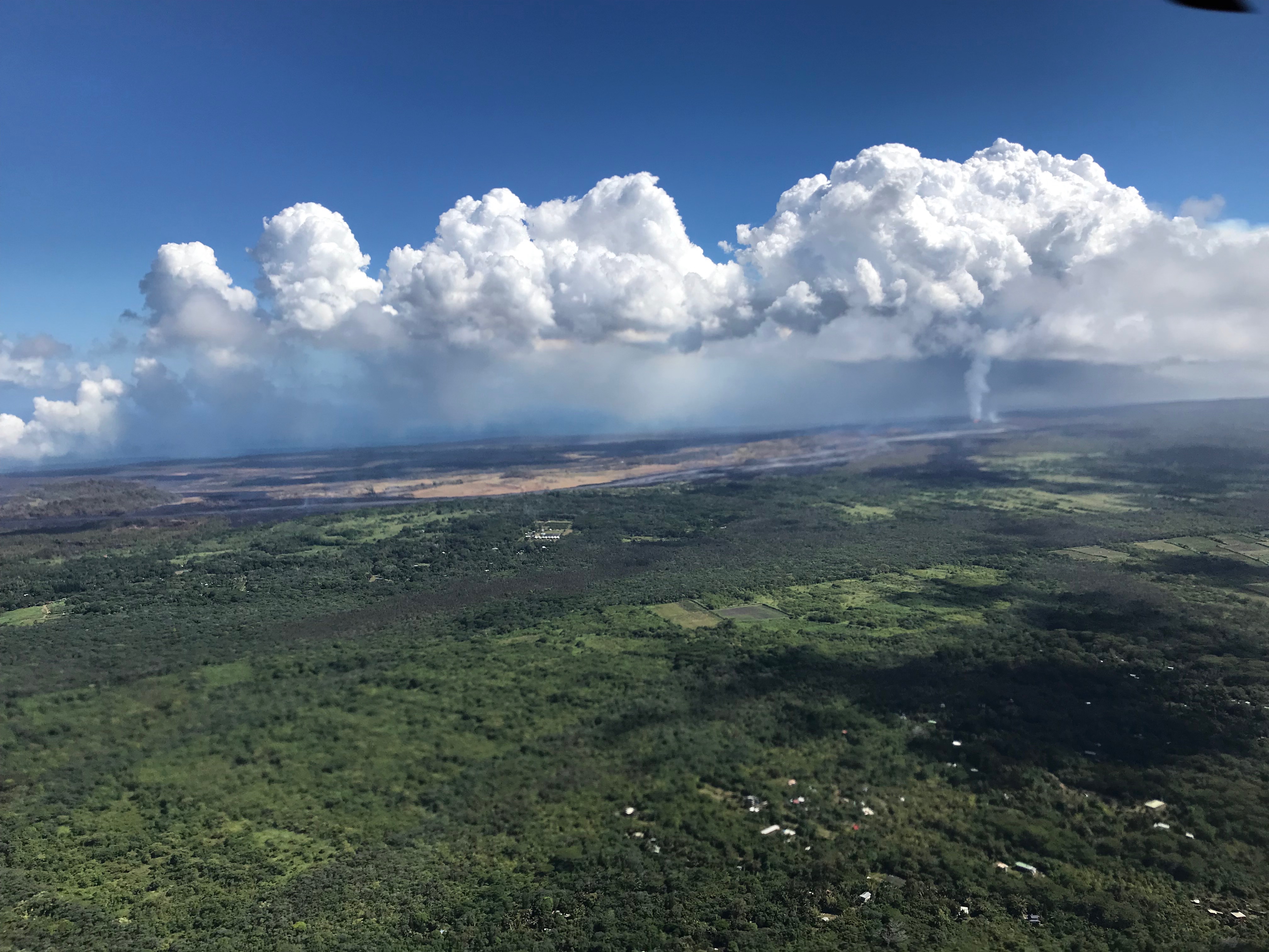
2006: Pahoa and Puna, Hawai'i - In the path of Kilauea Volcano lava

Sunup on a snowy Mauna Kea from Mountain View B&B, Hawaii
Mauna Kea in early morning light from Mountain View, Hawaii
HW6981VF2_4482.JPG
HW6960VF2_4461.JPG
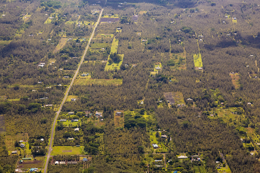
Hawaiian Paradise Park
b46d01-221_hhp.tif

HW6979VF2_4480.JPG
The strip
HW7681IMG_3540 ITO.JPG

Oblique view, Kurtistown Jōdo Mission

We can pickle that
HW7479VF2_4980.JPG
HW7490VF2_4991.JPG
HW6948VF2_4449.JPG
b46d01-340_hhp.tif
HW6945VF2_4446.JPG
HW6973VF2_4474.JPG
HW6955VF2_4456.JPG
HW7464VF2_4965.JPG
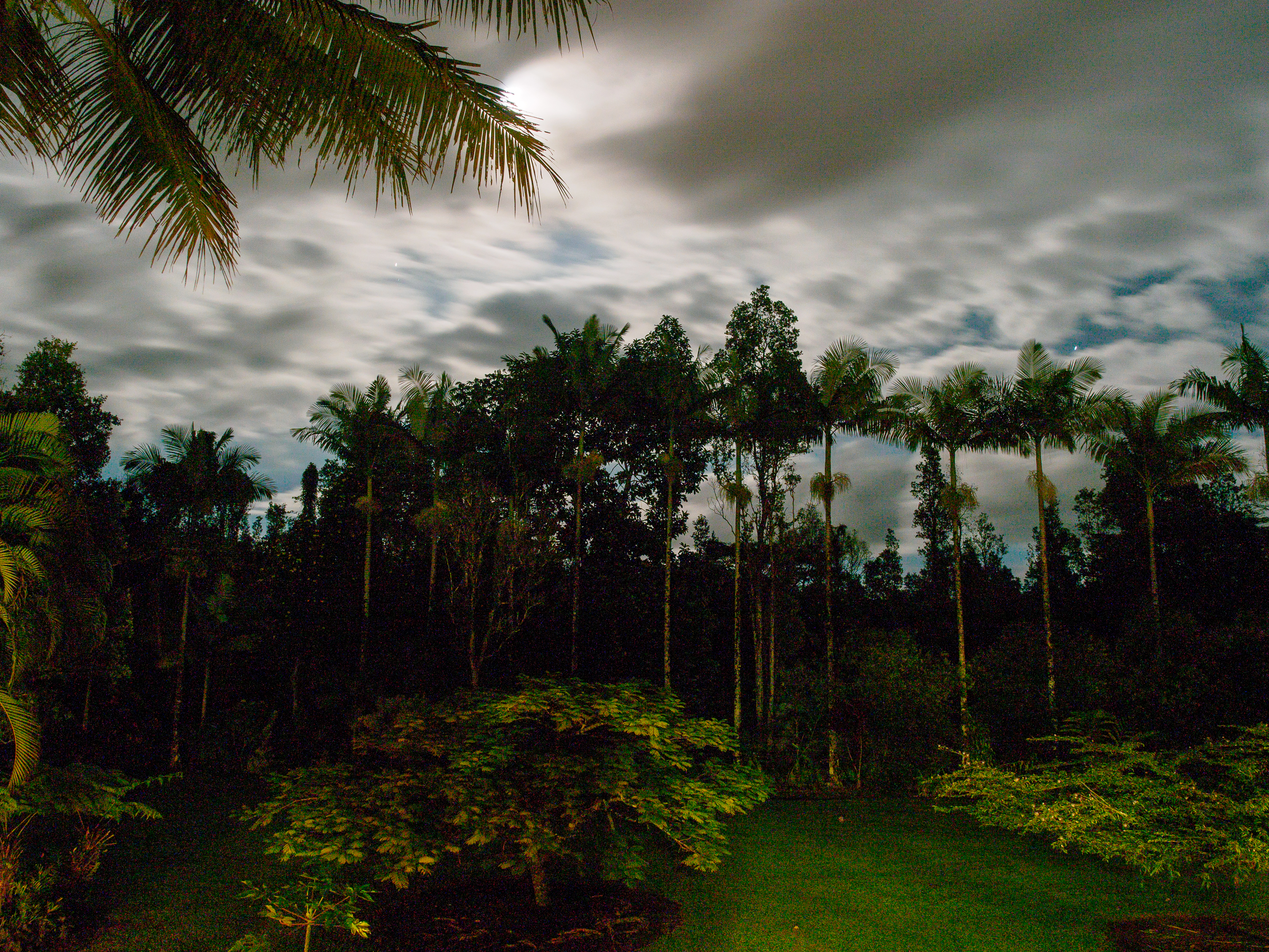
noisy night view

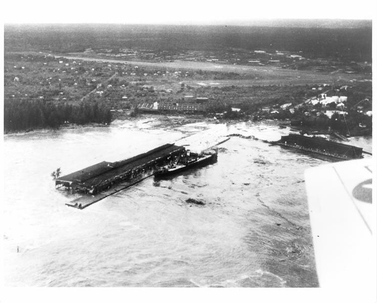
Black Flood

Leilani Eruption
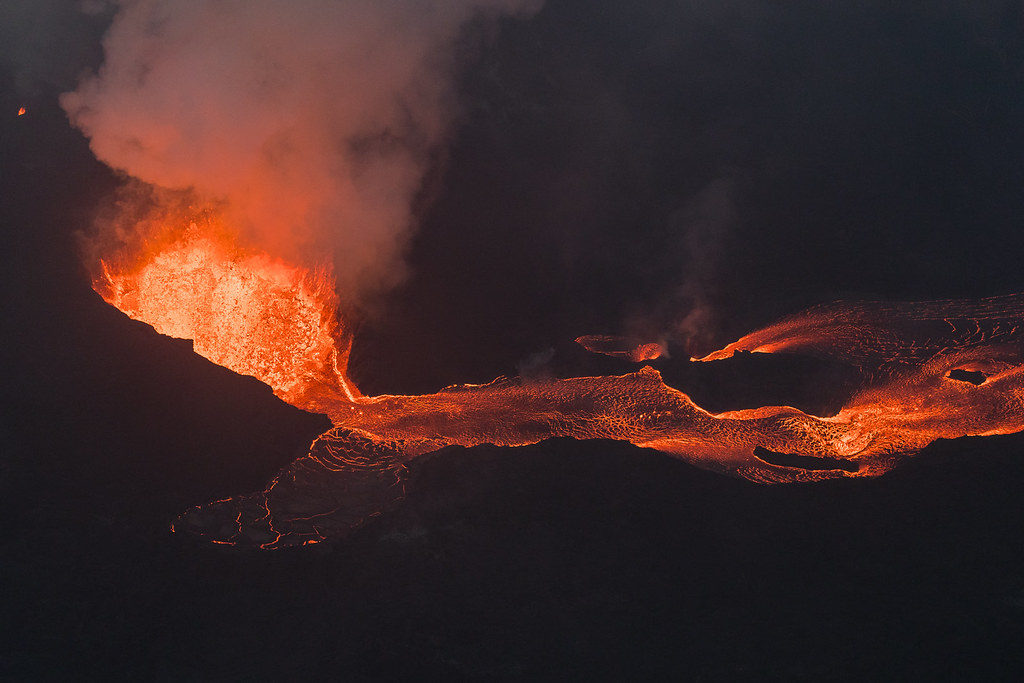
Hawaii Kilauea Volcano Fissure 8 Lava
Leaving Fissure 8 area
Oggi mare, domani bungee jumping
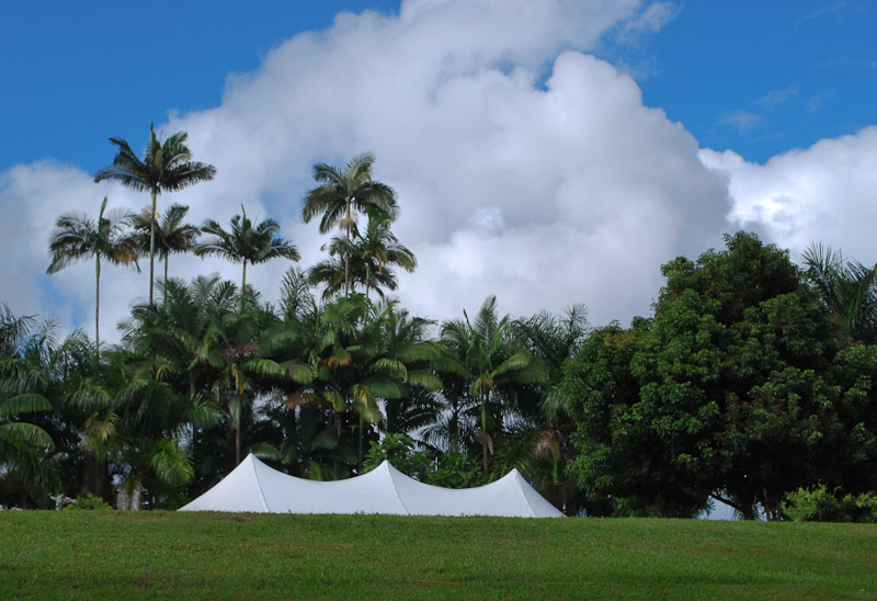
Aloha Wedding Tent

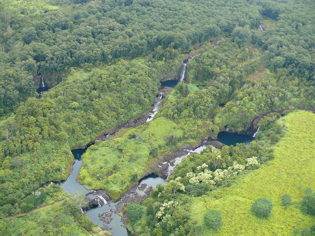
lost in the forest
it’s been a solid 2013; looking forward to an even better 2014 for the #HawaiiTechWorks community
2008-09-17 17-22-22

⛅️
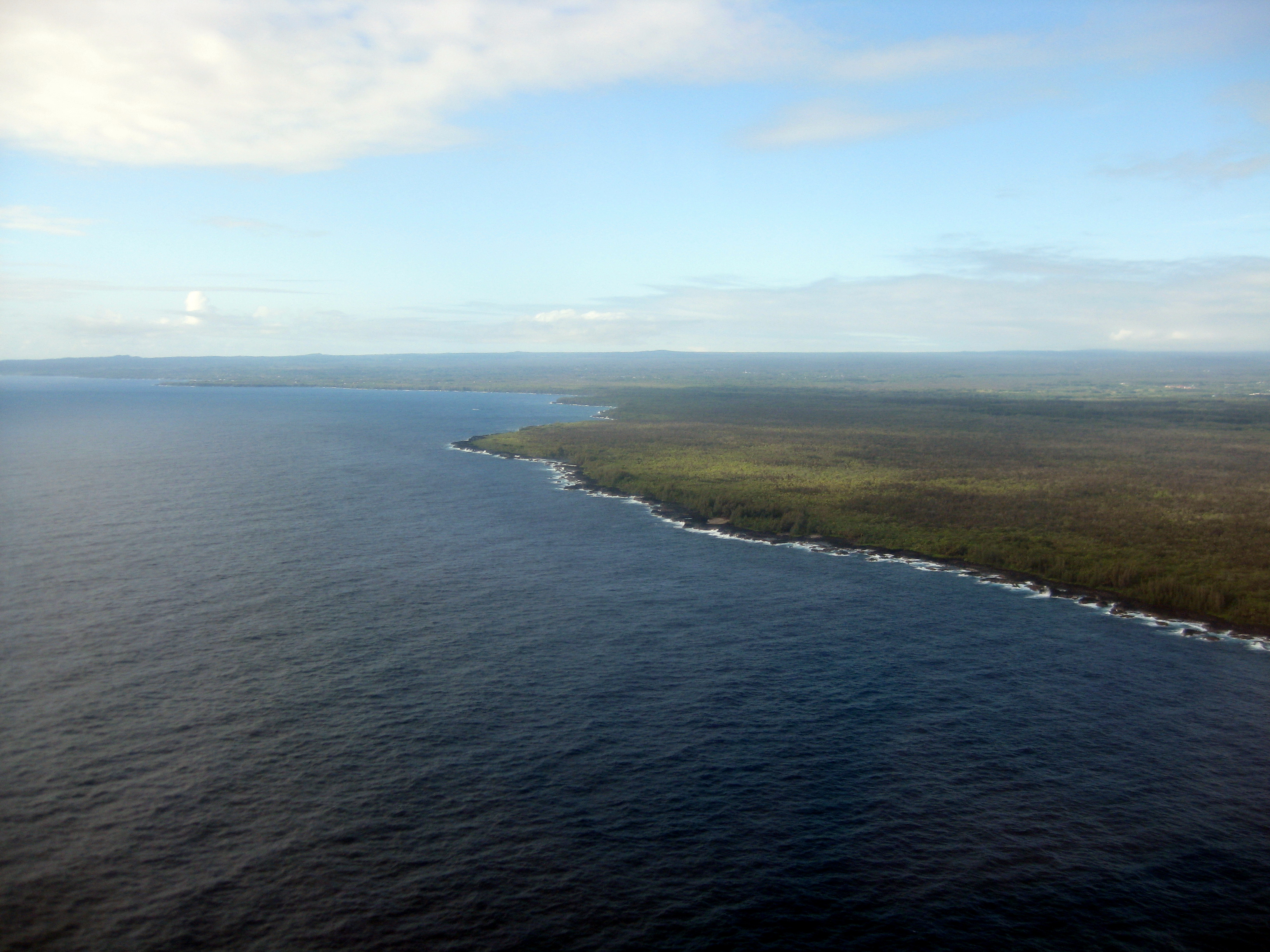
Hilo Area
Near Kea'au
Hawaii, HI

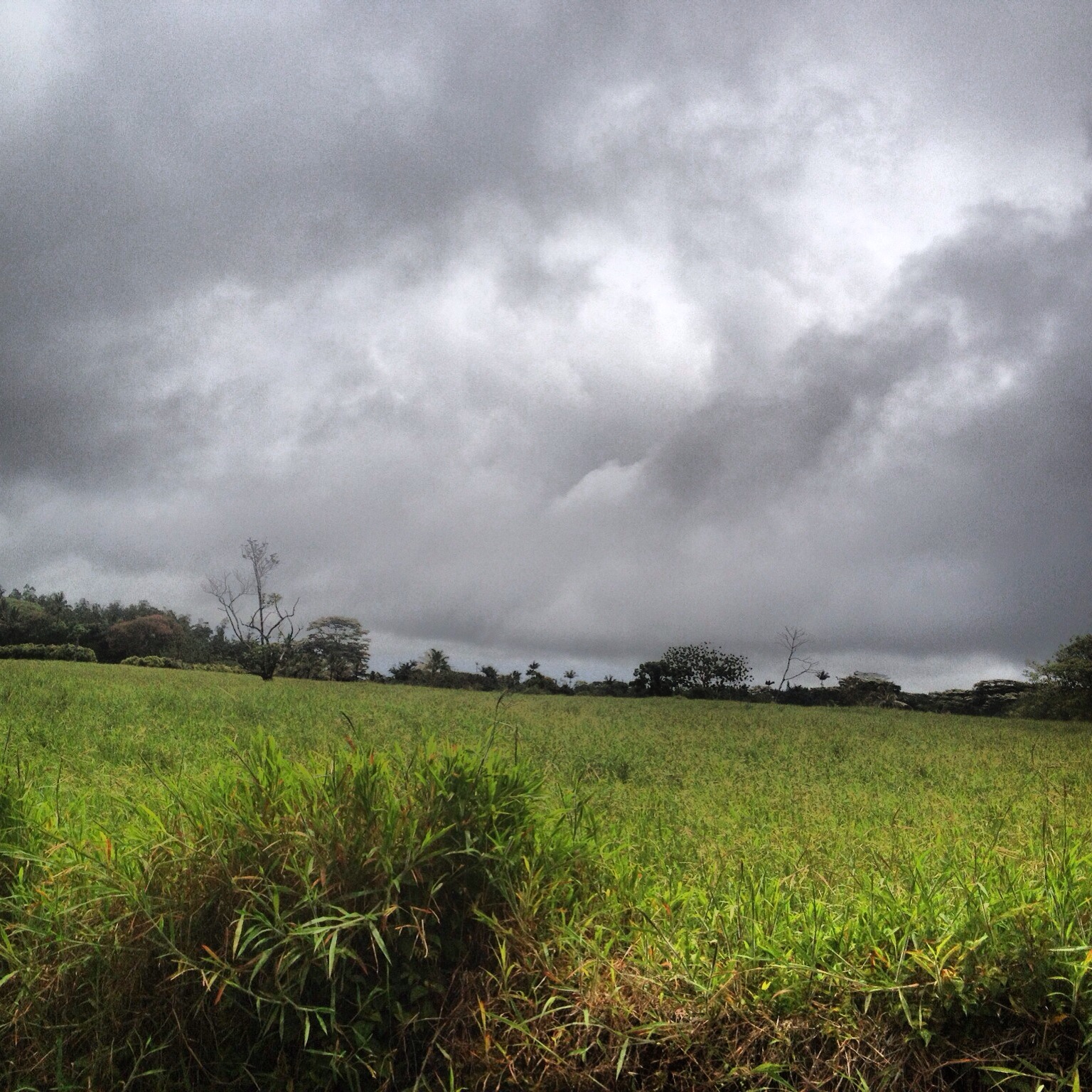
climactic clouds
Topographic Map of 15- 11th Ave, Keaau, HI, USA
Find elevation by address:

Places near 15- 11th Ave, Keaau, HI, USA:
15-1659 12th Ave
15-1702 13th Ave
15-1702 13th Ave
15-1702 13th Ave
11th Avenue
10th Street
15-1659 14th Ave
15-1779 13th Ave
Hawaiian Paradise Park
15th Avenue
13th Avenue
15-1817 11th Ave
15-1664
15-1515 14th Ave
4th Street
15-1720 Maia Ave
20th Avenue
15-1736 22nd Ave
15-1458 19th Ave
15-1867 22nd Ave
Recent Searches:
- Elevation of Corso Fratelli Cairoli, 35, Macerata MC, Italy
- Elevation of Tallevast Rd, Sarasota, FL, USA
- Elevation of 4th St E, Sonoma, CA, USA
- Elevation of Black Hollow Rd, Pennsdale, PA, USA
- Elevation of Oakland Ave, Williamsport, PA, USA
- Elevation of Pedrógão Grande, Portugal
- Elevation of Klee Dr, Martinsburg, WV, USA
- Elevation of Via Roma, Pieranica CR, Italy
- Elevation of Tavkvetili Mountain, Georgia
- Elevation of Hartfords Bluff Cir, Mt Pleasant, SC, USA