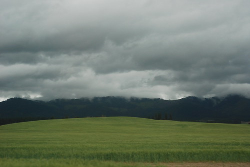
Elevation of 13 Snowberry Ln, Plummer, ID, USA
Location: United States > Idaho > Benewah County > Saint Maries >
Longitude: -116.86757
Latitude: 47.2214659
Elevation: 915m / 3002feet
Barometric Pressure: 91KPa
Related Photos:
Topographic Map of 13 Snowberry Ln, Plummer, ID, USA
Find elevation by address:

Places near 13 Snowberry Ln, Plummer, ID, USA:
13 Snowberry Ln
13 Snowberry Ln
3603 Windfall Pass Rd
US-95, Tensed, ID, USA
Plummer
2485 E Coon Creek Rd
200 Agte Rd
West Sunny Slopes Road
Hawleys Landing Rd, St Maries, ID, USA
Lovell Valley Rd, Plummer, ID, USA
37 Chatcolet Center Rd, Plummer, ID, USA
99 Rocky Point Upper Rd, St Maries, ID, USA
Worley
41 W Conkling Park Dr, Worley, ID, USA
286 W Florida Cir
1077 E Beplate Ln
601 Woodlawn Dr
Harrison
Garfield Ave, Harrison, ID, USA
ID-97, St Maries, ID, USA
Recent Searches:
- Elevation of Corso Fratelli Cairoli, 35, Macerata MC, Italy
- Elevation of Tallevast Rd, Sarasota, FL, USA
- Elevation of 4th St E, Sonoma, CA, USA
- Elevation of Black Hollow Rd, Pennsdale, PA, USA
- Elevation of Oakland Ave, Williamsport, PA, USA
- Elevation of Pedrógão Grande, Portugal
- Elevation of Klee Dr, Martinsburg, WV, USA
- Elevation of Via Roma, Pieranica CR, Italy
- Elevation of Tavkvetili Mountain, Georgia
- Elevation of Hartfords Bluff Cir, Mt Pleasant, SC, USA


