Elevation of 13 Hell Hollow Rd, Moosup, CT, USA
Location: United States > Connecticut > Windham County > Sterling > Moosup >
Longitude: -71.848521
Latitude: 41.645048
Elevation: 195m / 640feet
Barometric Pressure: 99KPa
Elevation Map:
Satellite Map:
Related Photos:

Make-A-Wish

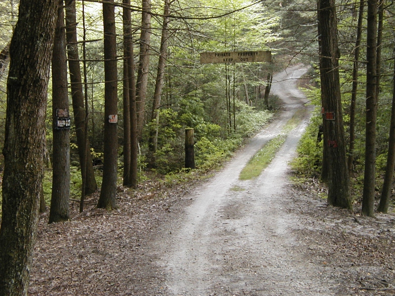
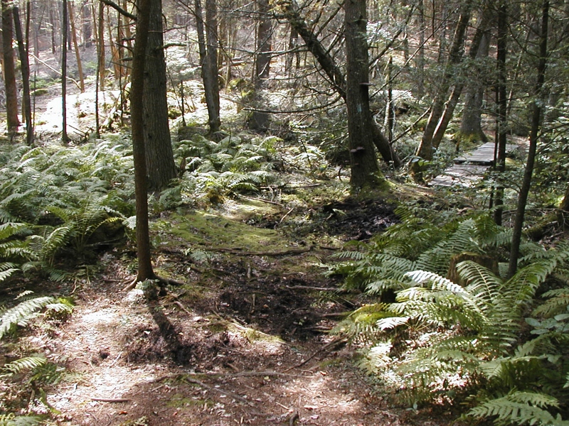
In the woods of Lisbon
SUMMER SUNSHINE

This morning's view from my humble abode is still pretty but it's easy to see that my favorite season is fleeing too fast. #foliage #connecticut #igersnewengland #igersconnecticut #yankeemagazine #fall

Wasp Face

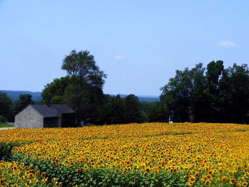
sunflower field
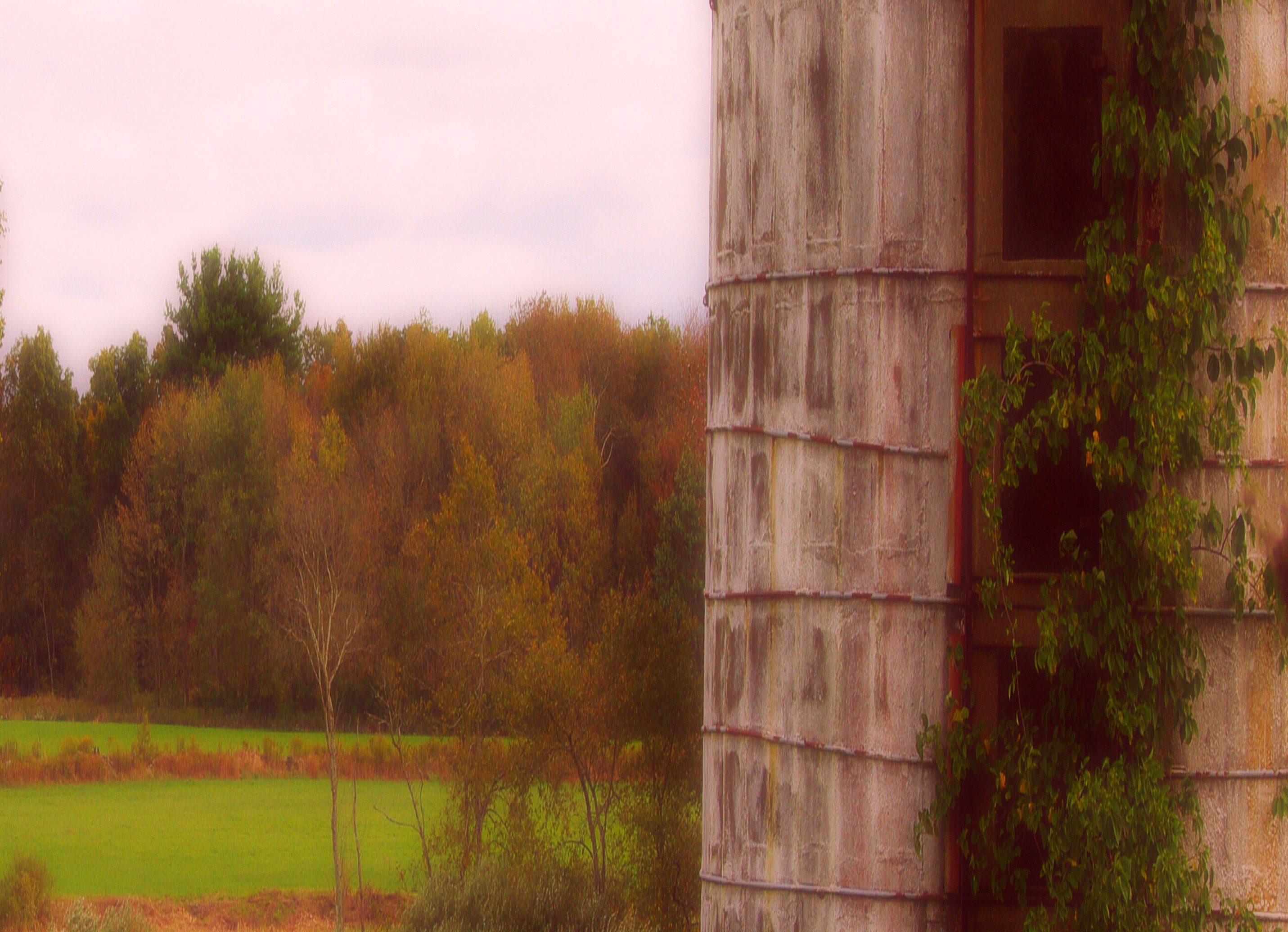
fallin' silo

Wasp Macro

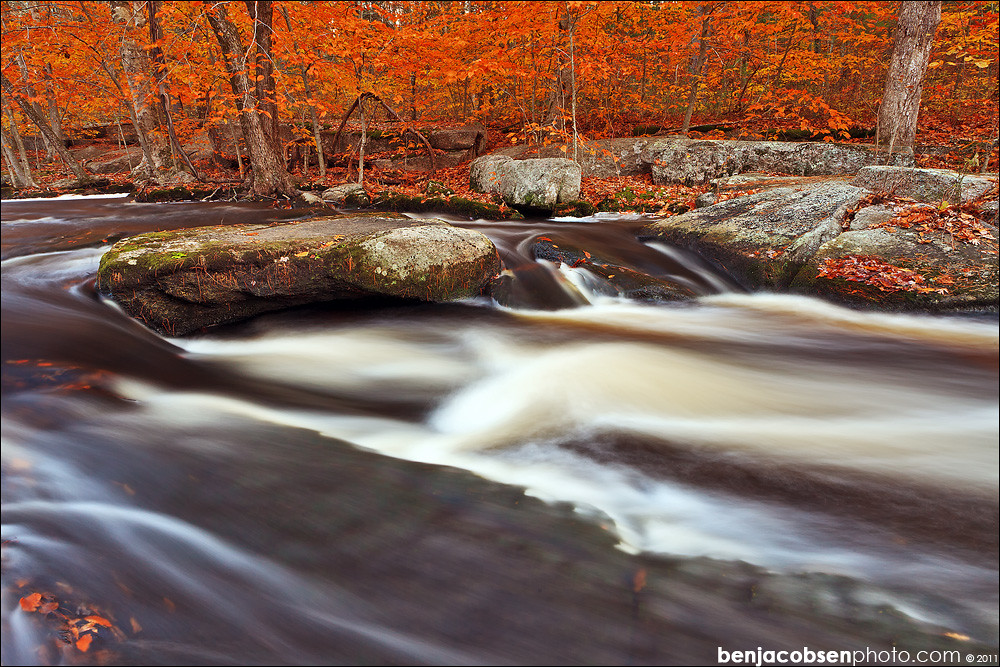
Eastern View of Pachaug River in Autumn

Western View of Pachaug River in Autumn

View out the window at the historic Green School in Canterbury during this week's Old Home Day meeting.

A Long Winters Nap Proves Beauty Above My Head

Panoramic View of Green Fall Pond

Panoramic View of Hell Hollow Pond

#14 - Another view looking down.
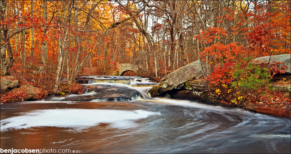
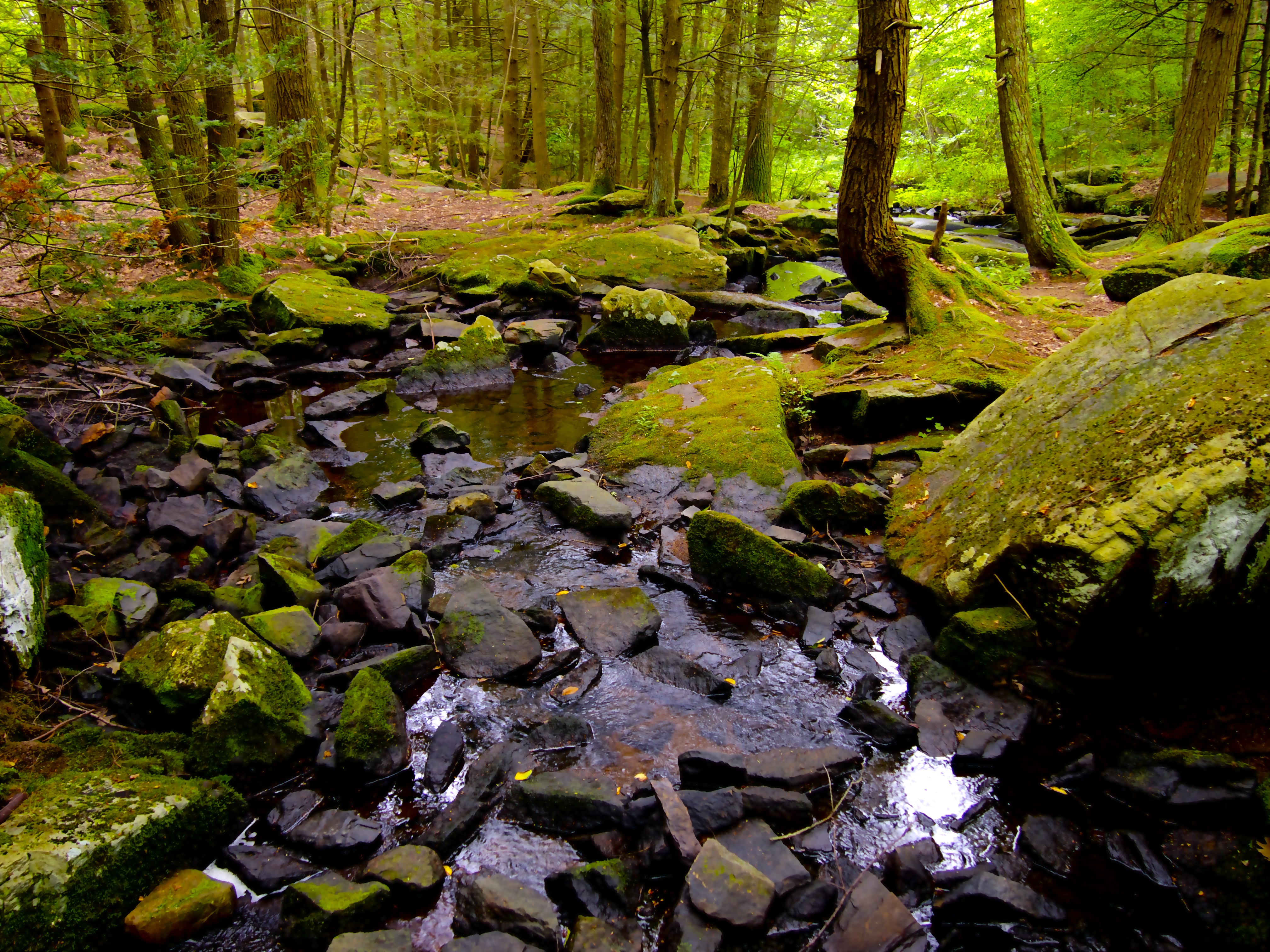
Broad Brook

Mount Misery Brook

View of Beach Pond from the Former Beach

Panoramic View of Beach Pond from the East

Panoramic View from Mount Misery

Scenic View
Meet Me at the Top

New England Autumn [ Explored ]

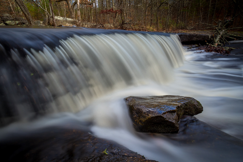
Downstream from Stepstone Falls, Rhode Island

Sun and Flower

Sunset at Buttonwood Farm

Sunflower Farm

Buttonwood Sunset
OLYMPUS DIGITAL CAMERA

Buttonwood Farm Sunflowers

the sentinels
Pachaug State Forest

Stepping Stone Falls - RI
stepping stone swirlies
My office today? A lakeside cabin :)
OLYMPUS DIGITAL CAMERA
Stepstone Falls
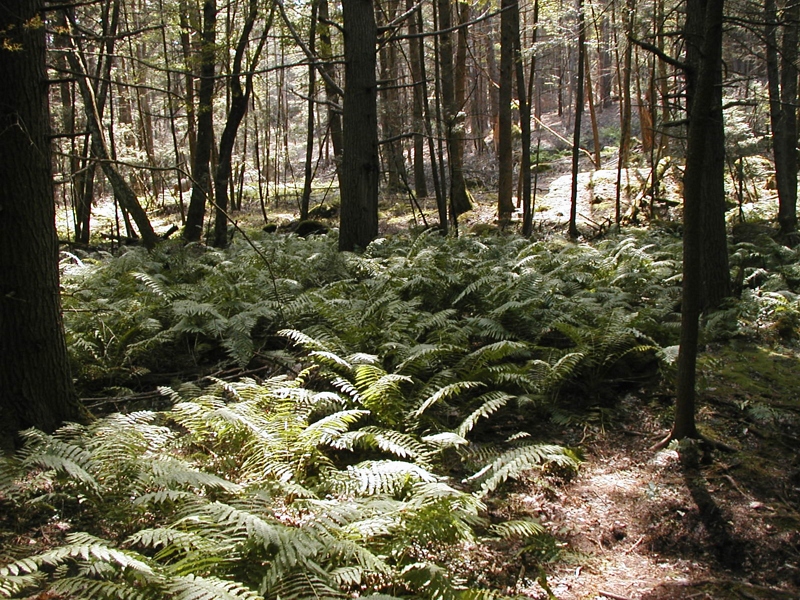
Upon the Forest Floor.
OLYMPUS DIGITAL CAMERA
stepping stone lower rock
Topographic Map of 13 Hell Hollow Rd, Moosup, CT, USA
Find elevation by address:

Places near 13 Hell Hollow Rd, Moosup, CT, USA:
1049 Ekonk Hill Rd
259 Brown Rd
597 Bailey Rd
74 Beachdale Ave, Voluntown, CT, USA
Voluntown
5 Jennifer Ln
Escoheag Hill Rd, West Greenwich, RI, USA
Griswold
Pachaug Pond
407 Plain Rd
95 Kenwood Rd
460 Bethel Rd
Wickaboxet Management Area
6 Henry Rd
Wickaboxer Rock Road
27 Rixtown Rd
800 Pendleton Hill Rd
105 Shetucket Turnpike
87 Shetucket Turnpike
297 Richardson Hill Rd
Recent Searches:
- Elevation of Corso Fratelli Cairoli, 35, Macerata MC, Italy
- Elevation of Tallevast Rd, Sarasota, FL, USA
- Elevation of 4th St E, Sonoma, CA, USA
- Elevation of Black Hollow Rd, Pennsdale, PA, USA
- Elevation of Oakland Ave, Williamsport, PA, USA
- Elevation of Pedrógão Grande, Portugal
- Elevation of Klee Dr, Martinsburg, WV, USA
- Elevation of Via Roma, Pieranica CR, Italy
- Elevation of Tavkvetili Mountain, Georgia
- Elevation of Hartfords Bluff Cir, Mt Pleasant, SC, USA