Elevation of 12- Kaimu-Chain of Craters Rd, Pāhoa, HI, USA
Location: United States > Hawaii > Hawaii County > Pāhoa >
Longitude: -154.970403
Latitude: 19.364501
Elevation: 16m / 52feet
Barometric Pressure: 0KPa
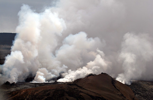
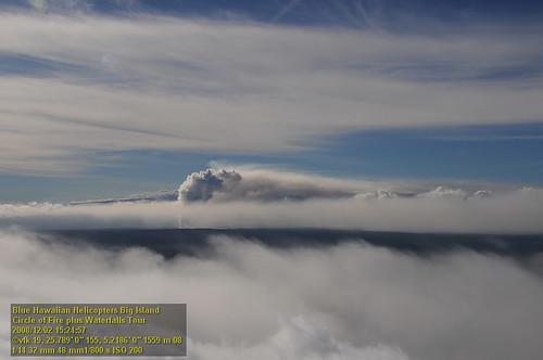
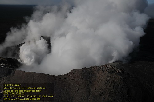
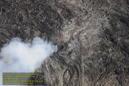
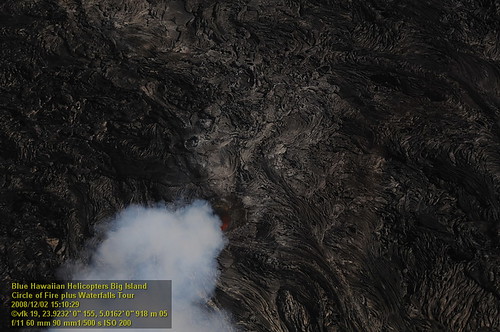
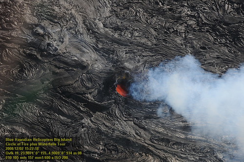
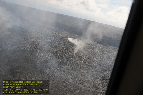
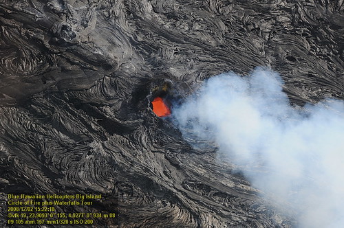
Related Photos:

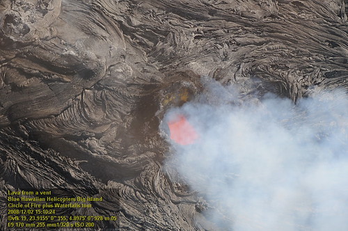
Skylight, Kilauea Volcano
Mount Kilauea Volcano 2560
HW7428VF2_4929.JPG
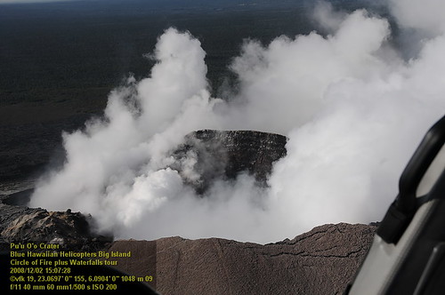
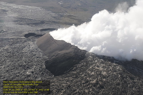
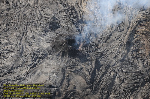
HW7042VF2_4564 Pu'u O'o Crater.JPG

Kilauea Volcano lava flow, Pāhoa, Hawai'i Oct. 28, 2014

Kīlauea Volcano lava flow at Pāhoa, Hawai'i - Nov. 16, 2014

Tree Top View
HW7176VF2_4677.JPG
HW7042VF2_4548 Pu'u O'o Crater.JPG
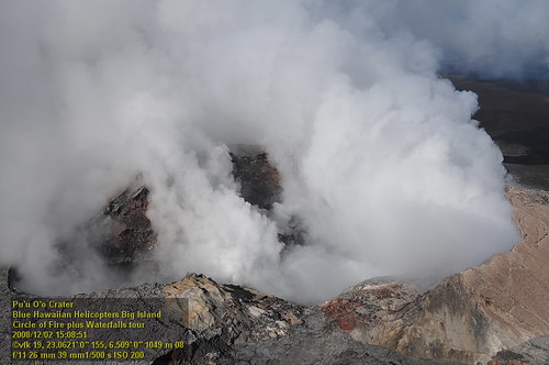
HW7042VF2_4561 Pu'u O'o Crater.JPG
HW7042VF2_4555 Pu'u O'o Crater.JPG
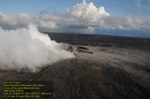
HW7419VF2_4920 Pu'u 'O'o Crater.JPG
HW7174VF2_4675.JPG
HW7401VF2_4902.JPG
HW7035VF2_4536.JPG

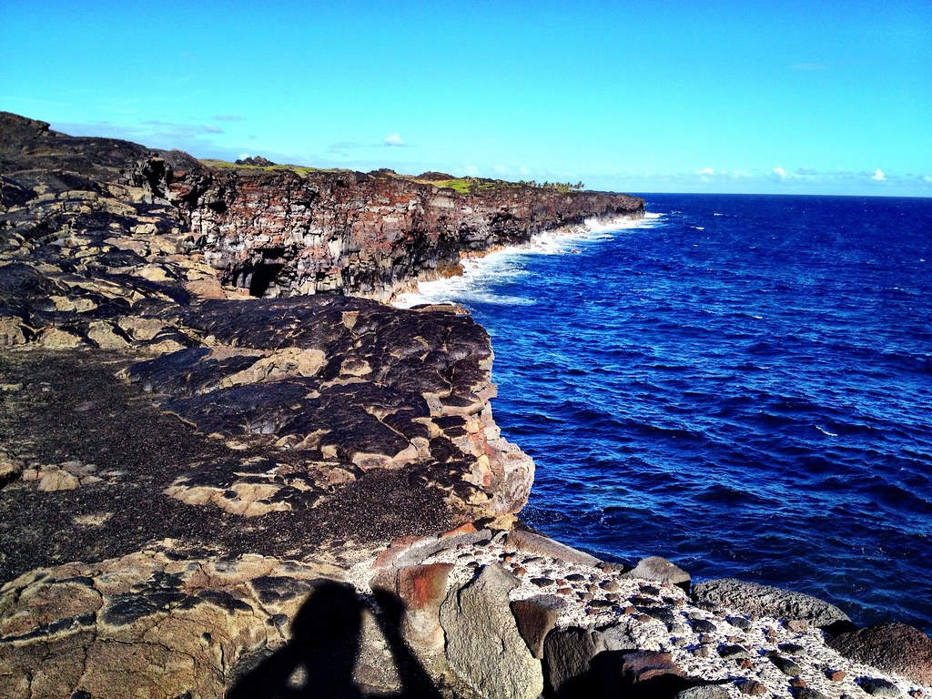
A grey morning, but still a tremendous view of the coast.

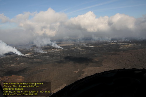
Kilauea Volcano lava threatens Pāhoa, Hawaii
HW7404VF2_4905.JPG
HW7165VF2_4666.JPG
HW7151VF2_4652.JPG
HW7126VF2_4627.JPG

Inside the Hawaii Volcanoes National Park- The Hawaii Island (aka Big Island), Hawaii, USA

Nani Moana Kakahiaka

Lava Surface Flow in the Moonlight

Blue Hawaii

this is where clouds come from

Tree Tunnel Puna

Sunrise Mountain

20090318-005

Red Road

Kīlauea volcano

lava + sea = lots of steam

IMG_6003.JPG

Kīlauea volcano
Camera Roll-3974
Big Island 14

round 'n round
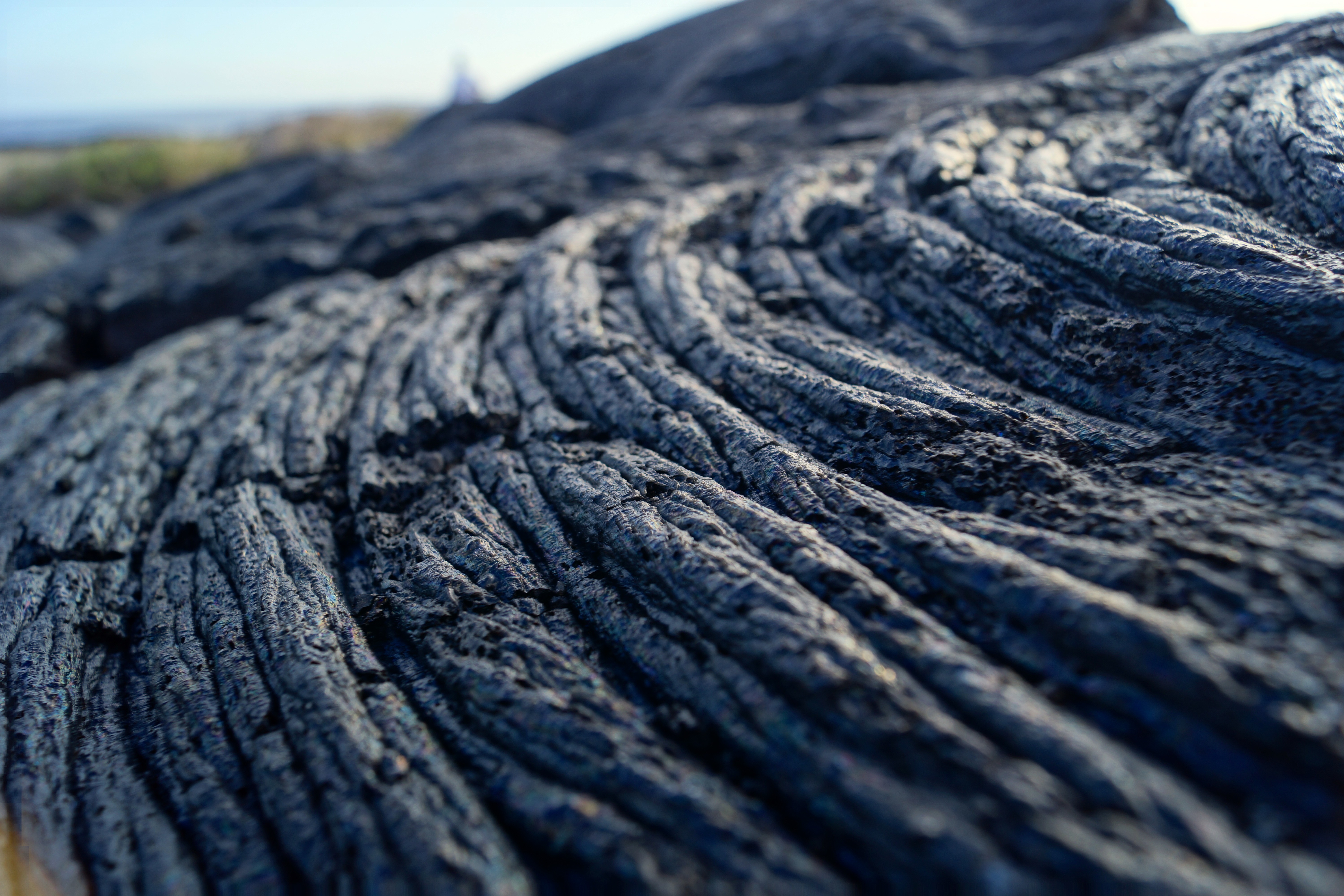
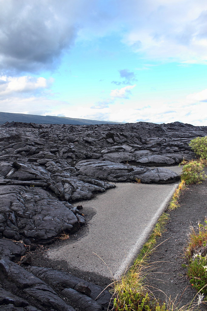
Solidified lava!
Lava on tap

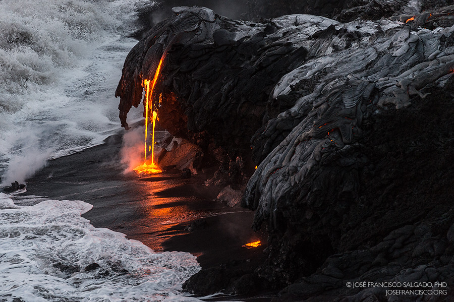
Where lava meets water

day5 (25)

Big Island Hawaii 10/29/10 - 47
Topographic Map of 12- Kaimu-Chain of Craters Rd, Pāhoa, HI, USA
Find elevation by address:

Places near 12- Kaimu-Chain of Craters Rd, Pāhoa, HI, USA:
96771 Pahoa Kalapana Rd #2-a
12-7848 Ainaua Pl
12-7833 Kalapana Kapoho Beach Rd
Kalapana
12-1217 Kaimu-makena Homestead Rd
12-5341
12-4346 Puna St
12-7232 Mauka Nui St
12-7204
Kapiolani Street
12-4288 Hilo St
12-4266 Kalapana St
Kehena Black Sand Beach
Kopoho Street
12-201
East Pohakupele Loop
Iliwai Dr, Wahiawa, HI, USA
13-3896 Ala'ili Rd
13-3810 Kamaili Uka Rd
13-3773 Ala'ili Rd
Recent Searches:
- Elevation map of Greenland, Greenland
- Elevation of Sullivan Hill, New York, New York, 10002, USA
- Elevation of Morehead Road, Withrow Downs, Charlotte, Mecklenburg County, North Carolina, 28262, USA
- Elevation of 2800, Morehead Road, Withrow Downs, Charlotte, Mecklenburg County, North Carolina, 28262, USA
- Elevation of Yangbi Yi Autonomous County, Yunnan, China
- Elevation of Pingpo, Yangbi Yi Autonomous County, Yunnan, China
- Elevation of Mount Malong, Pingpo, Yangbi Yi Autonomous County, Yunnan, China
- Elevation map of Yongping County, Yunnan, China
- Elevation of North 8th Street, Palatka, Putnam County, Florida, 32177, USA
- Elevation of 107, Big Apple Road, East Palatka, Putnam County, Florida, 32131, USA
- Elevation of Jiezi, Chongzhou City, Sichuan, China
- Elevation of Chongzhou City, Sichuan, China
- Elevation of Huaiyuan, Chongzhou City, Sichuan, China
- Elevation of Qingxia, Chengdu, Sichuan, China
- Elevation of Corso Fratelli Cairoli, 35, Macerata MC, Italy
- Elevation of Tallevast Rd, Sarasota, FL, USA
- Elevation of 4th St E, Sonoma, CA, USA
- Elevation of Black Hollow Rd, Pennsdale, PA, USA
- Elevation of Oakland Ave, Williamsport, PA, USA
- Elevation of Pedrógão Grande, Portugal