Elevation of 12 Chemin Cabalayre, Bentayou-Sérée, France
Location: France > Pyrénées-atlantiques > Bentayou-sérée >
Longitude: -0.069219
Latitude: 43.3959361
Elevation: 315m / 1033feet
Barometric Pressure: 98KPa
Elevation Map:
Satellite Map:
Related Photos:

I Pirenei (+1K views!!!)
France - Auriébat (Midi-Pyrénées)

Lac de Bassillon-Vauzé
Camino Via Tolosana 546.jpg
Maubourguet - Notre Dame de l'Assomption
Pelayo Asturias
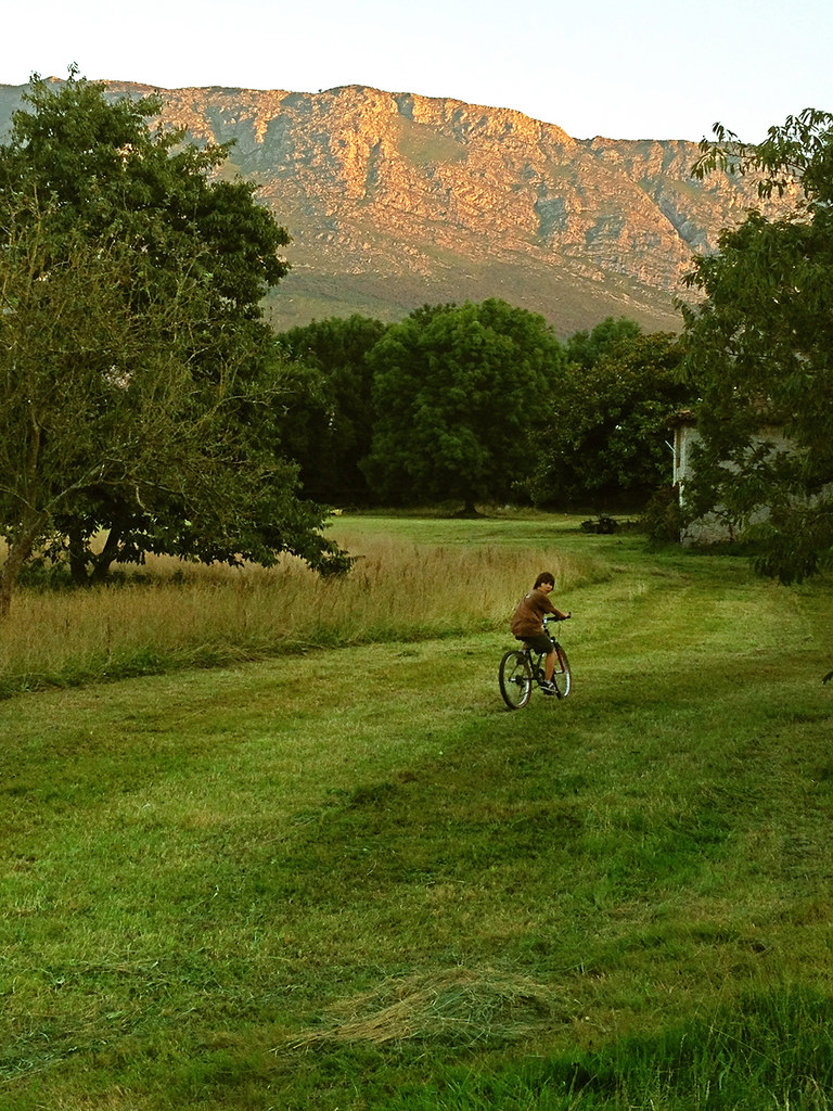
Tarde de verano
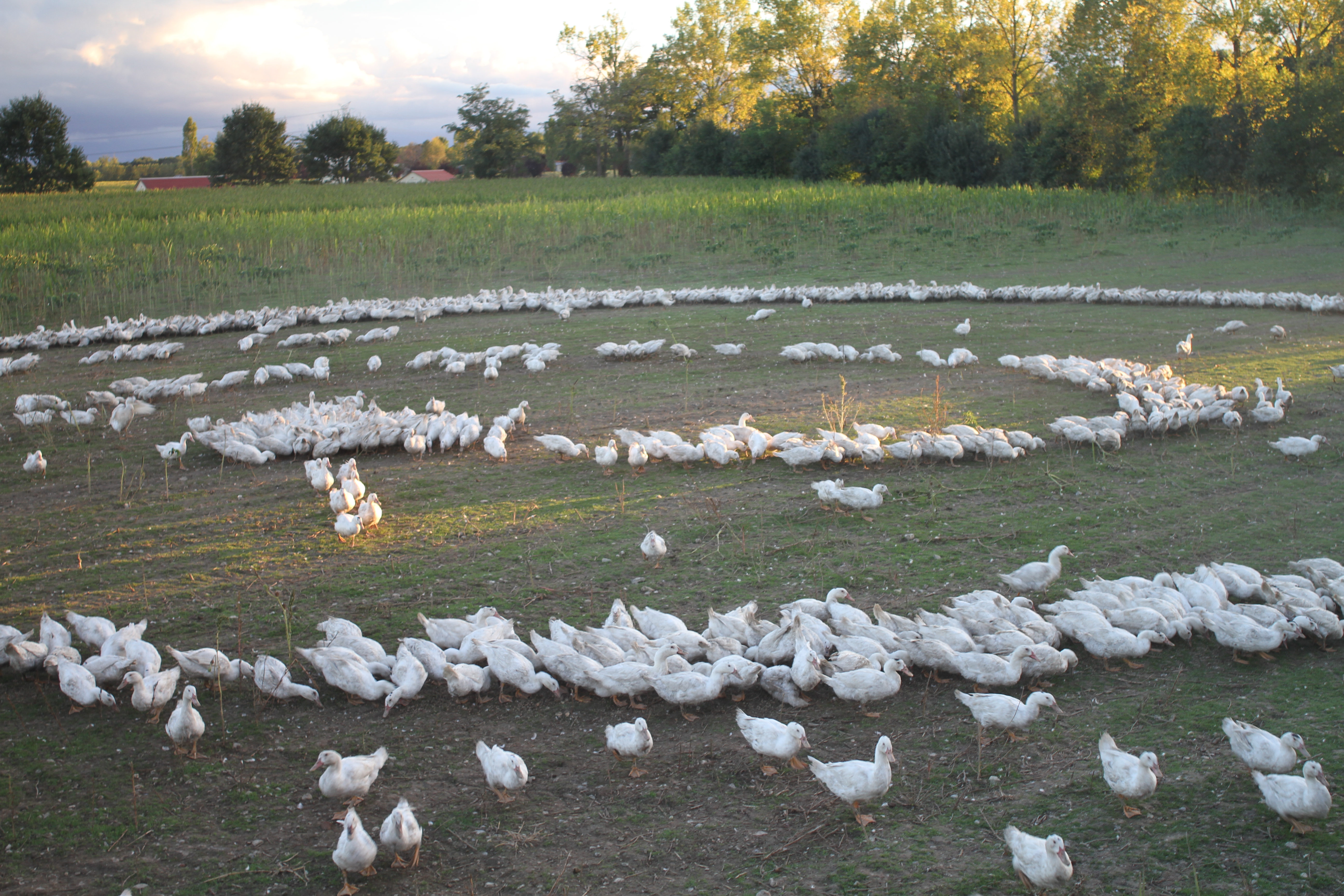
Landi de canards
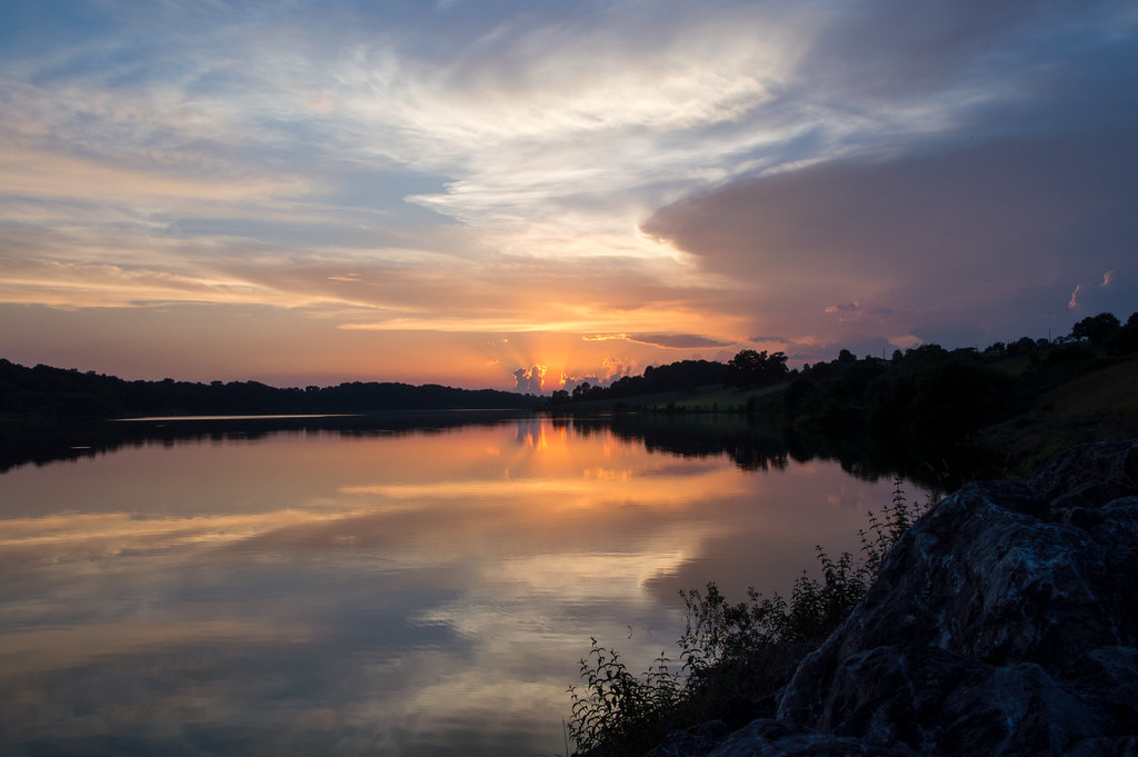
Lac de Gabas
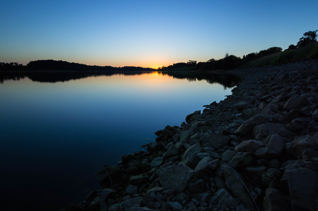
Lac du Gabas
Topographic Map of 12 Chemin Cabalayre, Bentayou-Sérée, France
Find elevation by address:

Places near 12 Chemin Cabalayre, Bentayou-Sérée, France:
Bentayou-sérée
Anoye
1 Route du Vic Bilh, Anoye, France
Darribes, Tarasteix, France
Tarasteix
Lespielle
Bétracq
1 Merlans, Bétracq, France
49 Route de Vic, Gabaston, France
39 Route du Claret, Lourenties, France
Chemin de la Métairie, Ger, France
Lourenties
Gabaston
Ger
Désert
Madiran
12 D65, Madiran, France
Coslédaà-lube-boast
Nousty
12 Voie Communale Quartier le Biala, Nousty, France
Recent Searches:
- Elevation of Corso Fratelli Cairoli, 35, Macerata MC, Italy
- Elevation of Tallevast Rd, Sarasota, FL, USA
- Elevation of 4th St E, Sonoma, CA, USA
- Elevation of Black Hollow Rd, Pennsdale, PA, USA
- Elevation of Oakland Ave, Williamsport, PA, USA
- Elevation of Pedrógão Grande, Portugal
- Elevation of Klee Dr, Martinsburg, WV, USA
- Elevation of Via Roma, Pieranica CR, Italy
- Elevation of Tavkvetili Mountain, Georgia
- Elevation of Hartfords Bluff Cir, Mt Pleasant, SC, USA